The best running trails around Reliez Valley
4.5
(37)
799
runners
100
runs
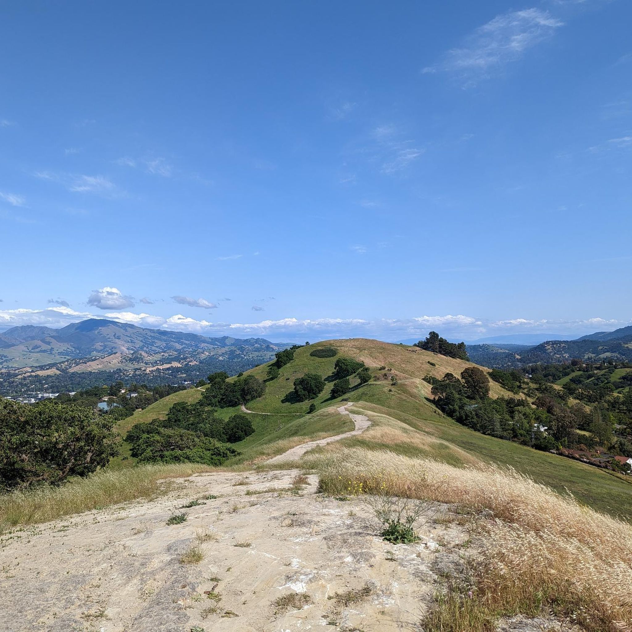
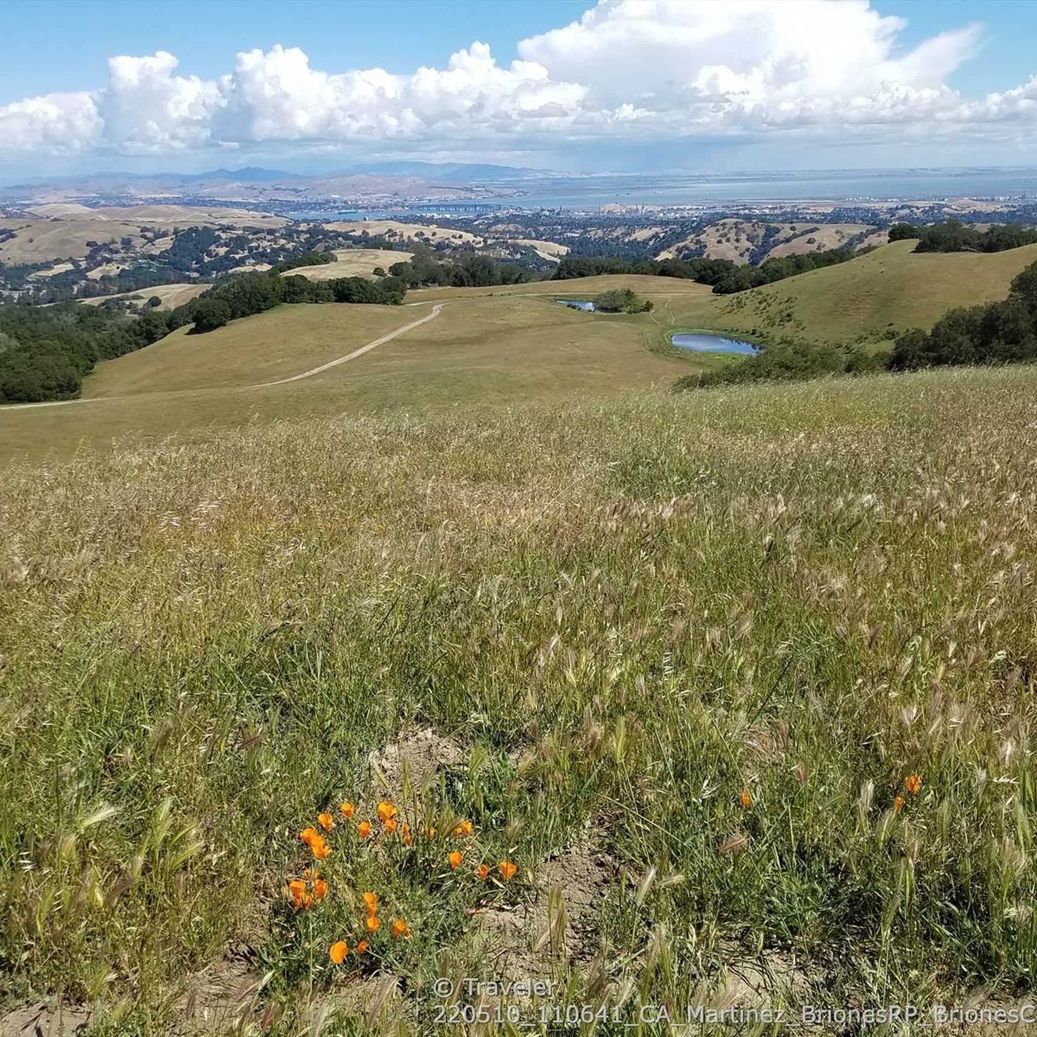
Jogging around Reliez Valley offers access to extensive open spaces and a network of trails, primarily connecting to Briones Regional Park. The region is characterized by rolling hills, oak-studded meadows, and natural channels like Reliez Creek. These landscapes provide a scenic backdrop for running, with diverse terrain ranging from grasslands to wooded valleys. Many routes offer panoramic views of Mount Diablo and the surrounding valleys.
Best jogging routes around Reliez Valley
- The most popular jogging route is Iron Horse Trail…
Last updated: July 9, 2026
29
runners
Hard run. Very good fitness required. Mostly paved surfaces. Suitable for all skill levels.
21
runners
Moderate run. Good fitness required. Mostly paved surfaces. Suitable for all skill levels.

Sign up for free
19
runners
12.4km
01:17
50m
50m
Moderate run. Good fitness required. Mostly paved surfaces. Suitable for all skill levels.
26
runners
Hard run. Very good fitness required. Mostly paved surfaces. Suitable for all skill levels.
13
runners
6.55km
00:41
10m
10m
Moderate run. Good fitness required. Mostly paved surfaces. Suitable for all skill levels.
Get access to more routes and recommendations from other explorers.
Sign up for free
Already have an account?
Our route recommendations are based on thousands of hikes, rides, and runs completed by other people on komoot.
Start today with a free account
Your next adventure awaits.
Login or Signup

Tips from the Community

The Pleasant Hill/Contra Costa Center BART Station features the first bike station in Contra Costa County, equipped with 215 bike racks, a retail shop for bicycle accessories, and maintenance services. It is a go-to spot for exploring the area by bike without the hassle of vehicle parking in the city.
0
0
This trailhead begins at the Contra Costa Canal Trail junction. Most of the trail runs along the Ygnacio Canal, where you'll likely see plenty of ducks who inhabit the area. Most of the trail is paved, however, there is an unpaved section near Ygnacio Valley Rd.
0
0

The Iron Horse Trail is a 32-mile multi-path that connects the towns of Concord and Pleasanton. It follows the route of the abandoned Southern Pacific Railroad. With its access to schools, business centers, and parks, the path is popular with commuters and recreationalists.
1
0
The Iron Horse Trail is a 32-mile multi-path that connects the towns of Concord and Pleasanton. It follows the route of the abandoned Southern Pacific Railroad. With its access to schools, business centers, and parks, the path is popular with commuters and recreationalists.
0
0

The Contra Costa Canal Trail stretches for several miles through the Concord Metro Area. The trail is mostly flat and paved, running alongside the Contra Costa Canal, passing through urban parks and open areas. It’s a great option for a leisurely stroll or bike ride.
1
0
Strategic trail junction of these two excellent, flat, paved, car-free trail systems.
0
0

Branching off the paved flat Ygnacio Canal Trail to the east, Savannah Trail is a smooth hard, pack gravel connector to Lime Ridge.
0
0
A pedestrian bridge to cross over Ygnacio Valley Road.
1
0
Frequently Asked Questions
How many running routes are available in Reliez Valley?
Reliez Valley offers a wide selection of running routes, with over 70 different trails documented on komoot. These routes cater to various fitness levels, ranging from easy paths to more challenging trails with significant elevation changes.
Are there easy jogging routes suitable for beginners in Reliez Valley?
Yes, Reliez Valley has several easy jogging routes perfect for beginners or those looking for a relaxed run. For instance, the region features 2 easy routes, and many of the moderate trails also offer gentle sections. You can find options that avoid steep climbs and focus on scenic, flat terrain.
What are some popular loop trails for running in Reliez Valley?
Many runners enjoy the circular routes available. A popular option is the Walden Park – Iron Horse Trail junction loop from Pleasant Hill/Contra Costa Centre, which offers a mix of park scenery and trail running. Another great loop is the Walden Park loop from Pleasant Hill, providing a pleasant 10 km run.
What kind of landscapes can I expect to see while jogging in Reliez Valley?
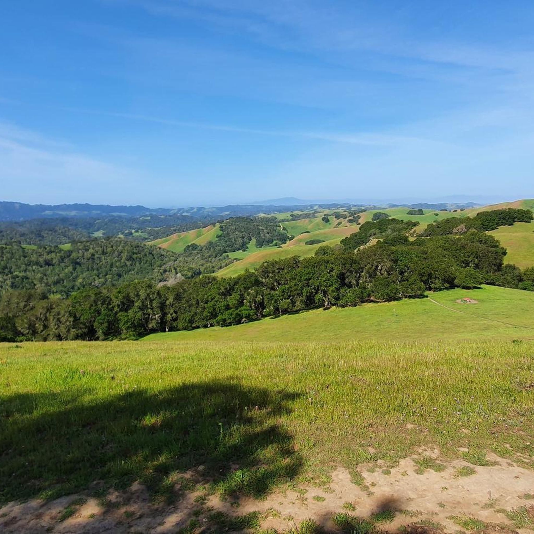
Reliez Valley is known for its picturesque countryside, featuring rolling hills and meadows dotted with oak trees. Many routes offer direct access to Briones Regional Park, where you'll find diverse terrain including grasslands, wooded valleys, and ridges. You can also expect to see natural channels like Reliez Creek.
Are there any routes with panoramic viewpoints?
Absolutely! Many trails within Briones Regional Park, which is directly accessible from Reliez Valley, offer impressive panoramic views. From various vantage points, you can enjoy stunning vistas of Mount Diablo and the surrounding valleys. On clear days, it's even possible to see across the Central Valley to the Sierra Nevada from higher elevations like Briones Peak.
What do other runners enjoy most about jogging in Reliez Valley?
The running routes in Reliez Valley are highly rated by the komoot community, with an average score of 4.9 stars from over 5 reviews. Runners often praise the extensive trail networks, the natural beauty of the rolling hills and oak-studded landscapes, and the peaceful environment that makes for an ideal outdoor exercise experience.
Are there any attractions or points of interest near the jogging routes?
Yes, the area around Reliez Valley offers several points of interest. You might enjoy visiting the Lafayette Reservoir Recreation Area, or exploring trails like the Lafayette-Moraga Regional Trail. For scenic views, consider the Overlook - Briones Reservoir. These spots can add variety to your running experience or serve as destinations for a longer outing.
Are the jogging routes in Reliez Valley suitable for families?
Yes, many of the trails are suitable for families, especially the easier and moderate routes. The extensive network within Briones Regional Park includes paths that are less strenuous, allowing for enjoyable outings with children. The natural setting and open spaces provide a great environment for family activity.
What is the typical difficulty level of running trails in Reliez Valley?
The trails in Reliez Valley offer a good mix of difficulties. While there are 2 easy routes, the majority (52) are considered moderate, and 16 are difficult. This means you can find everything from gentle, flat paths to more challenging routes with steep sections and varied terrain, catering to different fitness levels and preferences.
Can I find long-distance running options in Reliez Valley?
Absolutely. The trails in Briones Regional Park connect to broader regional networks, such as the Lafayette Ridge Trail, offering extensive options for long-distance runners. For example, the Lafayette Ridge Trailhead – Briones Crest Trail loop from Acalanes High School is a challenging 15.4 km route, and the Iron Horse Trail – Iron Horse Trail bridge loop from Pleasant Hill/Contra Costa Centre covers 15.3 km, both providing substantial mileage for longer runs.
Are there any specific access points to Briones Regional Park from Reliez Valley?
Yes, Reliez Valley offers several convenient access points to the expansive Briones Regional Park. Notable entry points include the Bear Creek Staging Area, the Reliez Valley Road Trailhead, and the Springhill Road access point. These allow direct entry into the park's diverse trail system.
Most popular attractions around Reliez Valley

Get inspired with the komoot mobile app


Explore more
Browse the best Running Trails & Routes in other regions.
