The best walks and hikes around Sleepy Hollow
4.8
(121)
2,067
hikers
193
hikes
Hiking around Sleepy Hollow, New York, is characterized by its location within the scenic Hudson River Valley, offering views of the Catskill and Taconic Mountains. The terrain features rolling hills, tranquil riverside paths along the Pocantico River, and extensive woodland trails. Many routes are located within the Rockefeller State Park Preserve, providing a mix of crushed-stone carriage roads and dirt trails through varied ecosystems. The area's natural features include open meadows, dense forests, and wetlands, catering to diverse outdoor activities.
Best hiking trails around Sleepy Hollow
- The most popular hiking route is Old Railroad Grade, Glen Fire, Smith Ridge & Sunrise loop, a 4.9 miles (7.9 km) trail that takes 2 hours 25 minutes to complete. This moderate route follows a combination of fire roads and singletrack trails.
- Another top favourite among local hikers is Terra Linda Ridge and 680 Trail, a moderate 5.5 miles (8.9 km) path. The trail features steady climbs and descents through open and wooded areas.
- Local hikers also love the Ridgewood Fire Road and Cemetery Fire Road Loop, a 2.2 miles (3.6 km) trail leading through forested sections and open areas, often completed in about 1 hour 7 minutes.
- Hiking around Sleepy Hollow is defined by wide carriage roads, riverside paths, and forested hills. The trail network provides options for various fitness levels, from easy walks to more moderate hikes with some elevation gain.
- The routes in Sleepy Hollow are highly rated by the komoot community with an average score of 4.9 stars from more than 110 reviews. More than 2,200 hikers have used komoot to explore Sleepy Hollow's varied terrain.
Last updated: July 8, 2026
5.0
(1)
8
hikers
8.86km
02:36
270m
220m
Embark on the Terra Linda Ridge and 680 Trail for a moderate hike spanning 5.5 miles (8.9 km). You will ascend 893 feet (272 metres) over approximately 2 hours and 35 minutes. The route offers a mix of wide fire roads and narrower singletrack paths, often featuring steep sections that challenge you. As you climb, you will discover expansive views of Marin County, with Mount Tamalpais visible in the distance and Lucas Valley stretching out below. On clear days, you might even catch a glimpse of San Pablo Bay. The trail's character shifts with the seasons, from vibrant spring wildflowers to the welcome shade of California bay and oak trees.
Planning your visit to the Terra Linda Ridge and 680 Trail is straightforward, as the preserve is easily accessible from several neighborhoods. You will find multiple access points, and parking is generally available nearby. This route is a popular choice for various outdoor activities; you can expect to share the paths with other hikers, cyclists, and equestrians. Dogs are also welcome, often enjoying the freedom of being off-leash if they are under voice control. Consider starting your hike in the morning to enjoy cooler temperatures and clearer views.
This trail explores the Terra Linda-Sleepy Hollow Divide Open Space Preserve, an important natural area in Marin County. The diverse terrain and changing landscapes reflect the region's unique ecology, supporting a variety of plant life including California bay and oak trees. The preserve serves as a vital green corridor, offering both recreation and a habitat for local wildlife. Its accessibility and multi-use trails make it a community favorite, providing a natural escape close to urban areas.
6
hikers
11.2km
03:36
480m
480m
Explore the Loma Alta Open Space Preserve on the Loma Alta Peak Trail, a moderate 6.9-mile (11.2 km) hike that delivers stunning 360-degree views from one of Marin County's highest points. You'll traverse diverse terrain, from shaded California bay woods and oak woodlands to wide-open grasslands, culminating in the Loma Alta Summit. Expect a steady climb with 1561 feet (476 metres) of elevation gain, taking around 3 hours and 36 minutes, making it a rewarding challenge for hikers with good fitness.
Planning your visit to the Loma Alta Peak Trail is straightforward, with the White Hill Trailhead serving as a popular access point. Due to extensive sun exposure on the upper sections, an early morning start or a cooler day is recommended. If you hike in winter or early spring, prepare for potentially muddy conditions, but you might also be rewarded with seasonal wildflowers and a delicate waterfall. Always carry ample water, especially during warmer months.
This trail is a highlight for its panoramic vistas, which can include the San Francisco skyline, Mt. Tamalpais, and the Pacific Coast. It's also part of the larger Bay Area Ridge Trail system, connecting you to other open spaces. The preserve's varied ecosystems, from grasslands to woodlands, showcase Marin County's natural beauty, and you might even spot grazing cattle, a practice that dates back over 150 years.

Sign up for free
4
hikers
23.1km
07:04
770m
830m
The Oak Manor, Smith Ridge, Sunrise and Old Railroad Grade Loop is a challenging 14.4-mile (23.1 km) hike that winds through a remarkable variety of landscapes in Marin County. Expect to climb 2528 feet (771 metres) over approximately 7 hours and 4 minutes, traversing everything from cool redwood canyons to sun-drenched chaparral and open grasslands. From the top of Smith Ridge, you'll earn breathtaking panoramic views of San Francisco, the Pacific Ocean, and the entire Bay Area, a truly spectacular reward for your effort.
This difficult route requires good fitness and sturdy footwear, especially given the extremely steep sections on Sunrise Fire Road. While much of the trail consists of unpaved fire roads and natural paths, the historic Old Railroad Grade offers a more consistent ascent. Be sure to bring plenty of water and sun protection, as many parts of the trail are exposed. Starting early in the morning or late afternoon can offer the best light for photography and more comfortable temperatures.
A significant portion of the trail follows the Old Railroad Grade, tracing the path of the former Mt. Tamalpais Scenic Railway. Along this historic route, you can spot remnants of the railway's past, including cut-through hills and the famous "Double Bowknot" series of hairpin curves. The trail is a multi-use path, popular with mountain bikers and runners, and is also an important link in the larger Bay Area Ridge Trail system.
15
hikers
7.89km
02:25
270m
270m
The Old Railroad Grade, Glen Fire, Smith Ridge & Sunrise loop offers a dynamic hiking experience, combining historical paths with challenging climbs and panoramic vistas. This moderate 4.9-mile (7.9 km) route, featuring 875 feet (267 metres) of elevation gain, typically takes about 2 hours and 25 minutes to complete. You'll traverse wide fire roads, dirt, and gravel paths, with sections like the Sunrise Fire Road presenting notably steep ascents, while others, like the Old Railroad Grade, offer a more gradual, though sustained, climb. Expect diverse scenery, from redwood canyons and chaparral to open grasslands and sweeping Bay Area views.
Planning your visit to this Marin County gem is straightforward, though awareness is key. Street parking is available, particularly near the Glen Drive starting point for the Glen Fire Road, but it's always wise to arrive early, especially on weekends, to secure a spot. The trails are multi-use, so you'll share the path with mountain bikers and horseback riders; courtesy and awareness of other users are essential. While the loop can be enjoyed year-round, spring brings vibrant wildflowers, and clear days offer the best visibility for the expansive views.
This loop is rich in history and natural beauty, following parts of the
7
hikers
3.57km
01:08
130m
130m
Discover the Ridgewood Fire Road and Cemetery Fire Road Loop, an easy hike that offers a refreshing escape into nature. As you follow the Ridgewood Fire Road, you will first pass through a shaded eucalyptus grove before the path opens up to expansive views. On clear days, you can see Mount Tamalpais, the town of San Anselmo, and even the San Francisco skyline. This pleasant route covers 2.2 miles (3.6 km) with a gentle elevation gain of 436 feet (133 metres), typically taking around 1 hour and 7 minutes to complete.
Planning your visit to this multi-use trail is straightforward, as parking is generally available near the trailhead. The route is popular with hikers, mountain bikers, and horseback riders, so you will likely share the path. If you bring your dog, remember that they should be leashed on trails and under voice command on the fire roads, ensuring a pleasant experience for everyone.
This loop takes you through the diverse scenery of the Terra Linda / Sleepy Hollow Preserve, offering more than just natural beauty. A unique historical element awaits as the Cemetery Fire Road leads you towards the historic Mt. Tamalpais Cemetery. This blend of natural vistas and a touch of local history makes the trail a distinctive option for a short, accessible outdoor adventure.
Get access to more routes and recommendations from other explorers.
Sign up for free
Already have an account?
Our route recommendations are based on thousands of hikes, rides, and runs completed by other people on komoot.
Start today with a free account
Your next adventure awaits.
Login or Signup
Tips from the Community

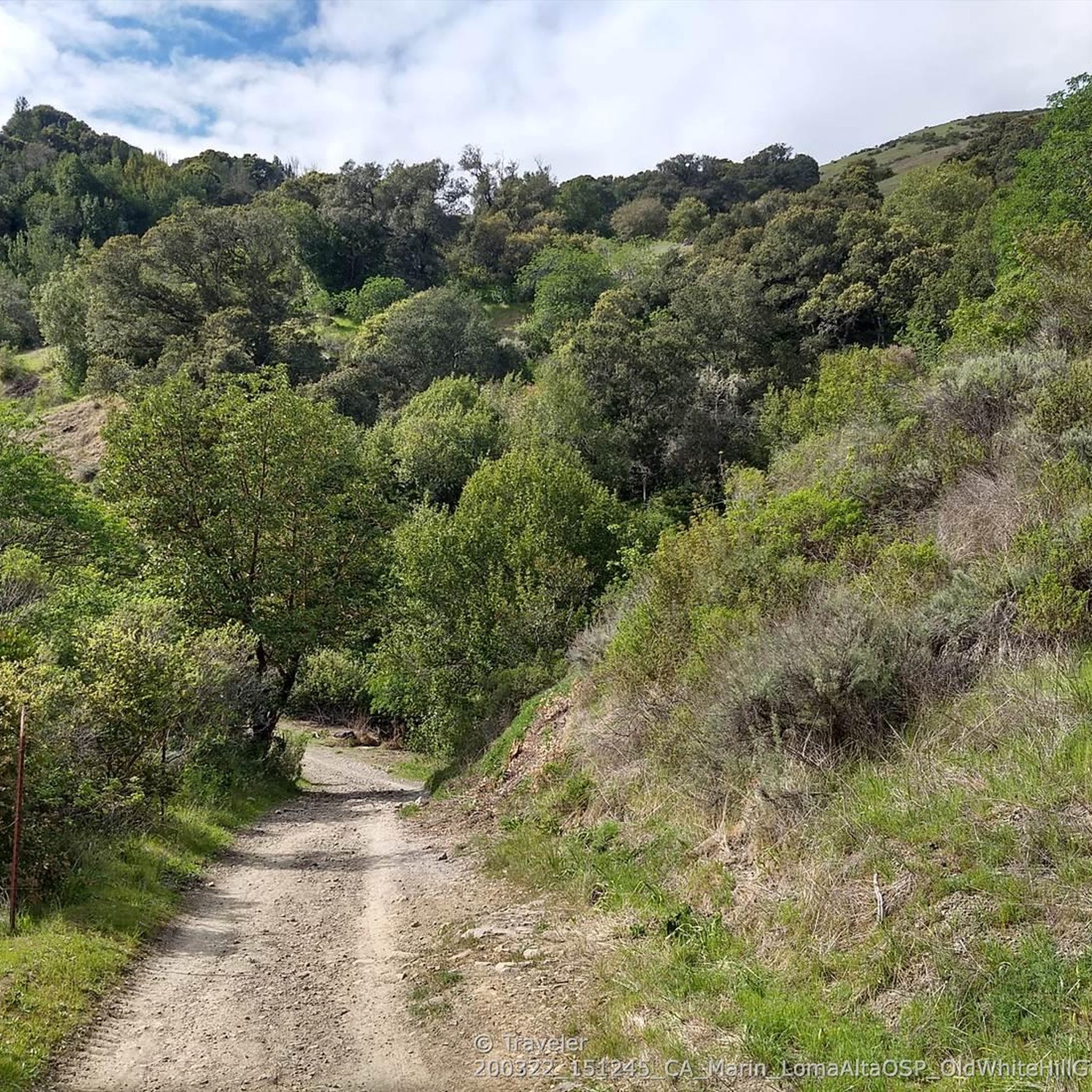
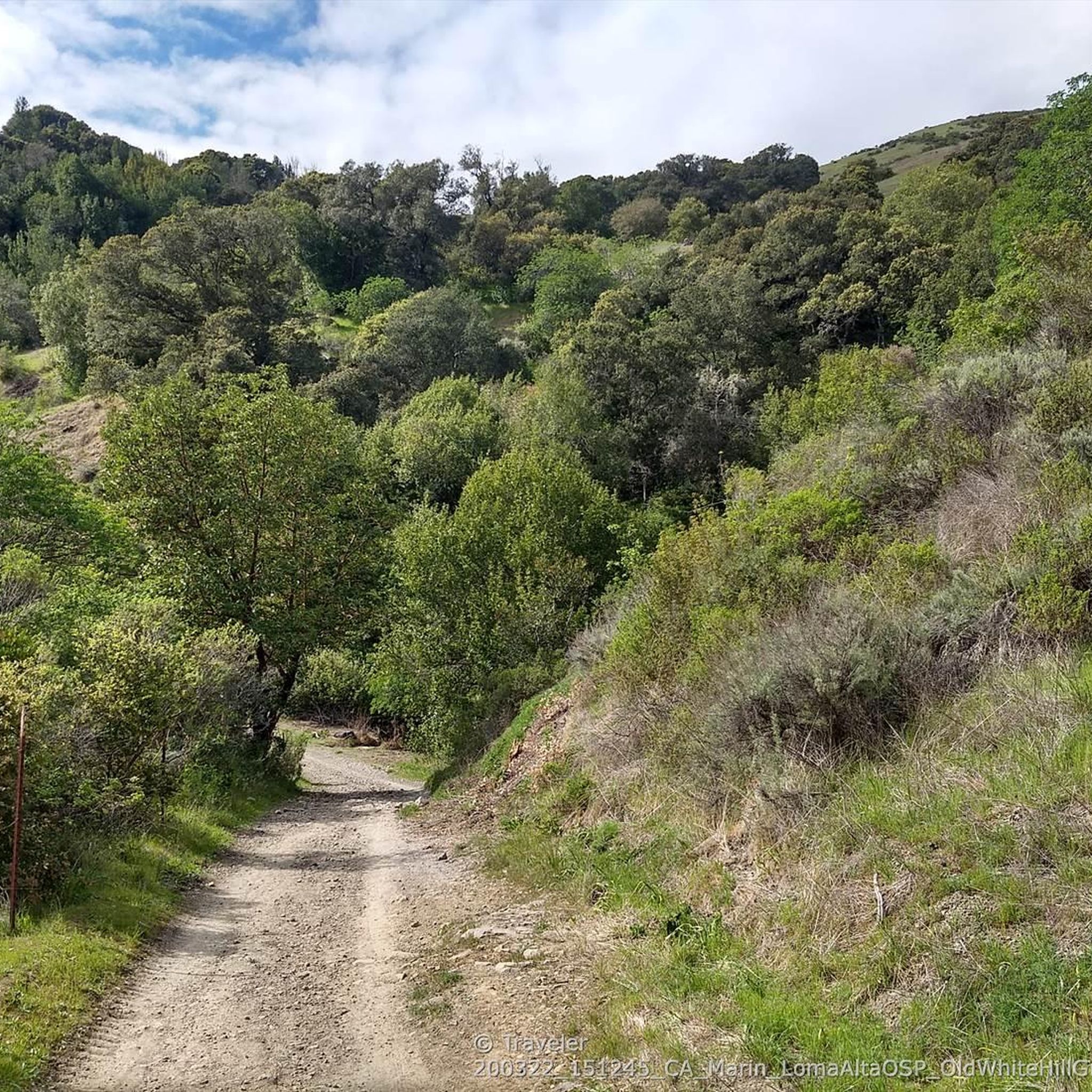
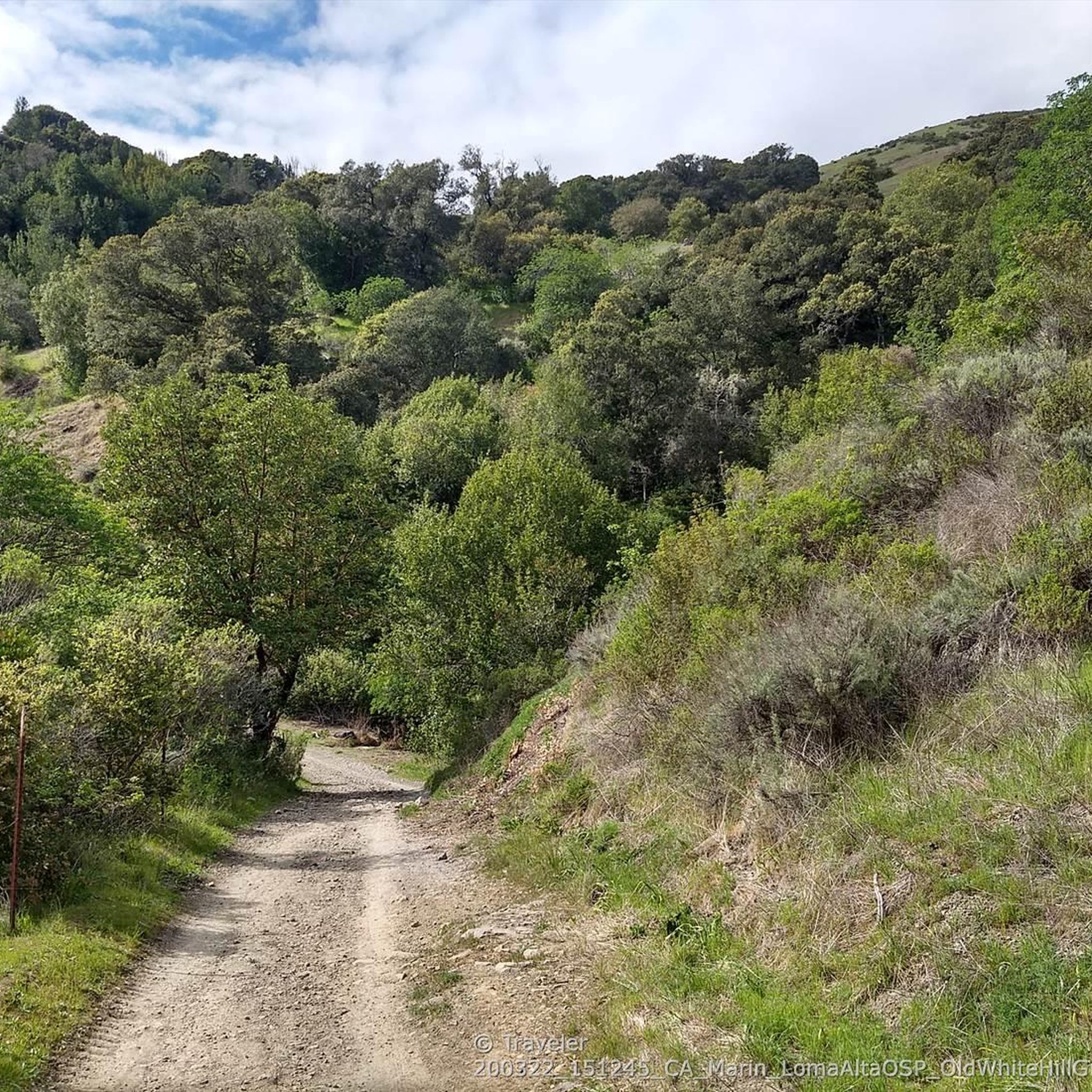
Loma Alta literally translates to "high hill" and is the highest point in the Loma Alta Open Space Preserve. A few different dirt roads and trails lead to the bald summit that looks over the surrounding hillsides.
0
0

Sorich Ranch Park is a great place to experience the natural beauty of the San Anselmo hills. There is a small parking lot and plenty of street parking nearby, with no day use/parking fee required to explore the grounds. There are picnic benches and tables with hiking trails that lead off in several directions and vary for options on whichever level of hike you choose. Several points in the Park boast stunning views and plenty of opportunities to take great photos of Mt. Tamalpais, Bald Hill and the Seminary.
0
0

At 1592 feet, Loma Alta is one of the highest points in Marin. For a less strenuous excursion, from the lower Loma Alta Open Space Preserve entrance on the Fairfax side to the White Hill entrance, Old Railroad Grade Fire Road runs along the lower perimeter of the 509-acre preserve. In rainy season, see Fairfax Falls cascading 25 feet. https://www.marincountyparks.org/parkspreserves/preserves/loma-alta
0
0
Enjoy heavenly Bay Area views, especially at sunrise and sunset: Here you can leave the gradual former railroad grade and take the extremely steep Sunrise Fire Road trail to the summit. At 1592 feet, Loma Alta is one of the highest points in Marin. https://www.marincountyparks.org/parkspreserves/preserves/loma-alta
0
0
White Hill Trail crosses under Brown Bridge and then climbs steeply to link Loma Alta Preserve ( https://www.marincountyparks.org/parkspreserves/preserves/loma-alta ) with White Hill Preserve ( https://www.marincountyparks.org/parkspreserves/preserves/white-hill ), which further links up with Cascade Canyon Preserve, and Gary Giacomini Preserve.
0
0
Steep switchbacks single track to hike down into the canyon
0
2
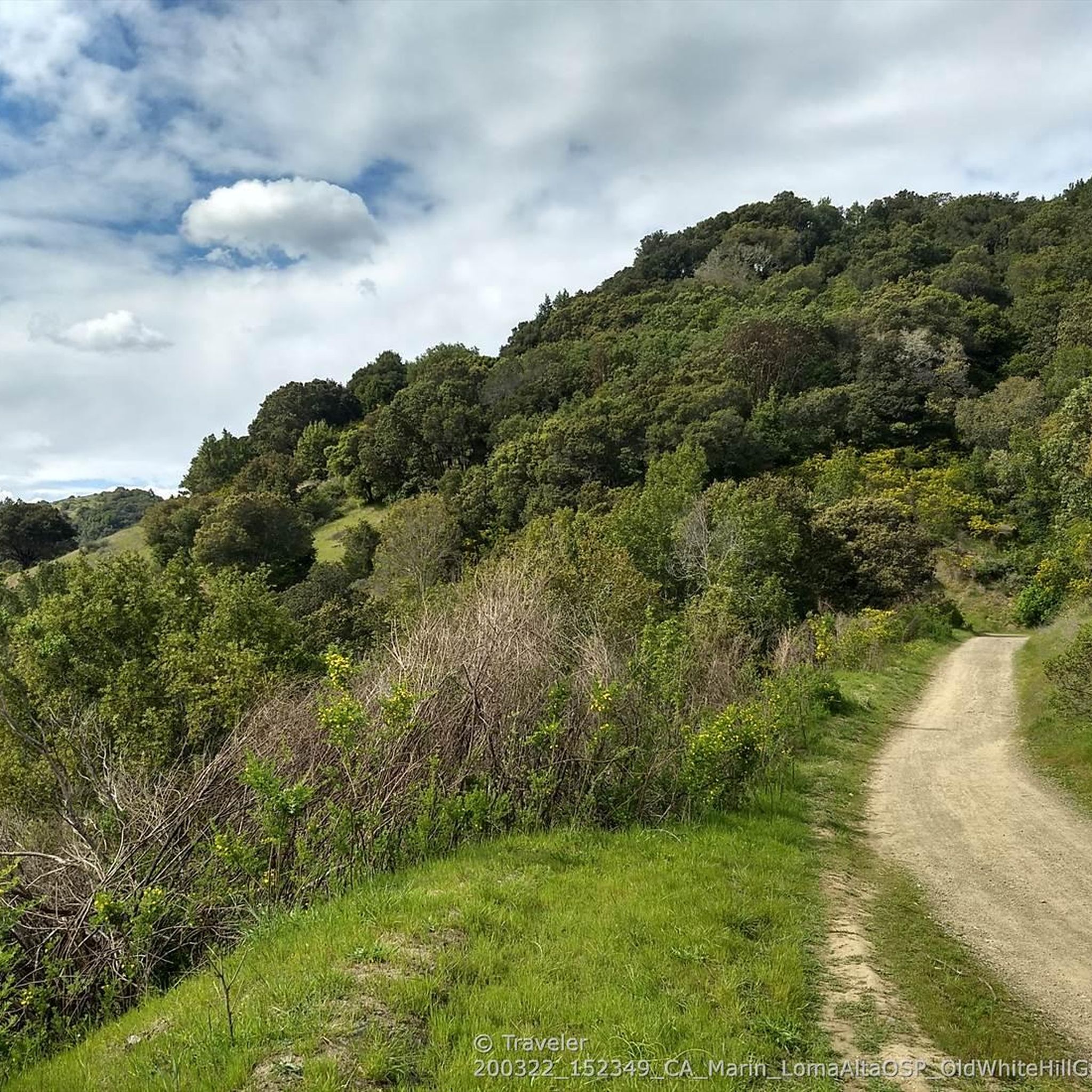
To avoid the traffic when riding up (or down) White Hill, the highest elevation along Sir Francis Drake Boulevard from Fairfax, the old railroad grade is a more gradual, mostly smooth gravel trail alternative.
1
2

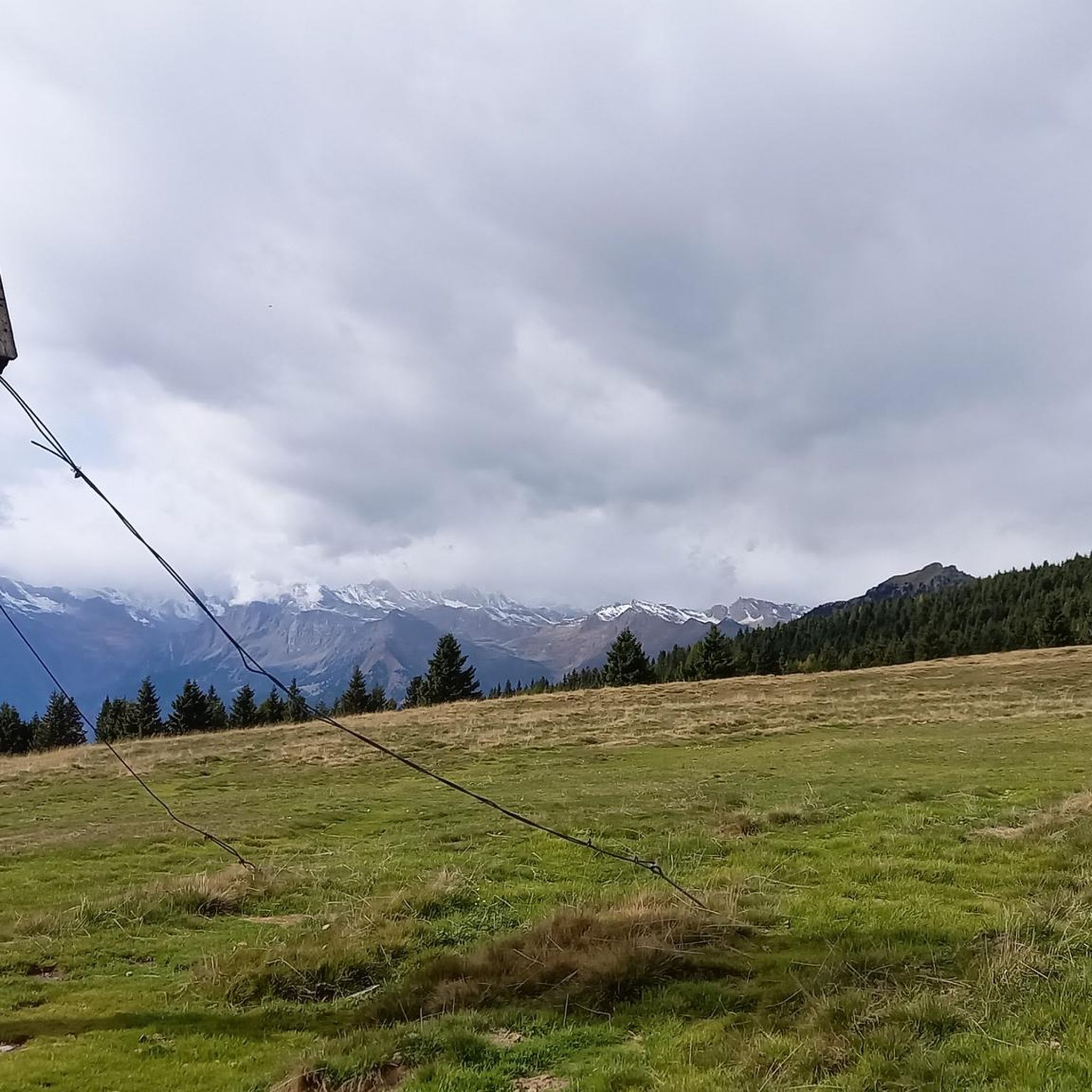
Rolling hills and mountains as far as the eye can reach!
1
0
Frequently Asked Questions
Are there any easy, family-friendly hikes in Sleepy Hollow?
Yes, the area is well-suited for family outings. The trails within Rockefeller State Park Preserve are particularly good for families, featuring wide, crushed-stone carriage roads that are easy to walk. The paths around Swan Lake and through Rockwood Hall offer gentle terrain and beautiful scenery.
Can I bring my dog on the trails?
Many trails in the Sleepy Hollow area are dog-friendly, provided your dog is kept on a leash. The expansive carriage road system in Rockefeller State Park Preserve is a popular choice for dog walkers, offering plenty of space. Always check specific park regulations before you go.
How do I get to the Sleepy Hollow trails using public transport from NYC?
You can take the Metro-North Railroad's Hudson Line from Grand Central Terminal to Tarrytown station. From there, it's a short walk or taxi ride to the entrances of major trail networks like the Old Croton Aqueduct Trail and Rockefeller State Park Preserve.
What are the best trails for seeing fall foliage?
For impressive autumn colors, head to the trails within Rockefeller State Park Preserve. The paths leading up to Eagle Hill are particularly rewarding, offering panoramic views over the Hudson River and the Palisades, which are spectacular during the fall season.
Are there any circular walks available?
Yes, many of the trails are designed as loops. For a moderately challenging circular route, consider the White Hill and B-17 crash loop — White Hill Preserve. It offers a varied experience through different types of terrain.
What is the Old Croton Aqueduct Trail like?
The Old Croton Aqueduct Trail is a unique, mostly flat linear park that follows the path of a 19th-century aqueduct. It's a historical walk that passes through woodlands and villages, offering a different perspective than the park trails. It's great for an easy, long-distance walk.
Where can I find good views of the Hudson River?
The Rockwood Hall section of the Rockefeller State Park Preserve offers grand vistas of the Hudson River and the Palisades. The trails here wind through open, grassy fields and past the foundations of the former Rockefeller estate, providing stunning, unobstructed views.
Are there any particularly historic trails?
Absolutely. Besides the Old Croton Aqueduct, many trails in Rockefeller State Park Preserve follow the historic carriage roads built by the Rockefeller family. You can also hike past historic stone bridges and features like Spook Rock, immersing yourself in the area's rich past.
What do other hikers enjoy about the trails around Sleepy Hollow?
The area is highly rated by the komoot community, with an average score of 4.9 stars. Reviewers often praise the well-maintained carriage roads, the beautiful scenery along the Pocantico River, and the peaceful atmosphere of the woodlands.
Is there a shorter hike I can do if I'm pressed for time?
For a quick but rewarding hike, the Sorich & Tomahawk Trail loop — Sorich Ranch Park is a great option. It's a relatively short loop that still provides a good sense of the local landscape.
Where are the main places to start a hike in the area?
The most popular starting point is the main entrance to Rockefeller State Park Preserve, which is highly regarded by locals and offers access to dozens of trails. Other key access points include trailheads for the Old Croton Aqueduct State Historic Park and the trails at Rockwood Hall.
Are there any paved trails suitable for strollers or wheelchairs?
While most of the park trails are crushed stone, the paved path at Tarrytown Lakes Park is an excellent option. It follows a former railroad bed, making it flat and accessible. The nearby Scenic Hudson RiverWalk Park at Tarrytown also offers paved surfaces with beautiful river views.
Most popular routes around Sleepy Hollow
Most popular attractions around Sleepy Hollow

Get inspired with the komoot mobile app


Explore more
Browse the best Hikes in other regions.
