The best road cycling routes around Tahoe Vista
4.8
(15)
1,563
riders
27
rides
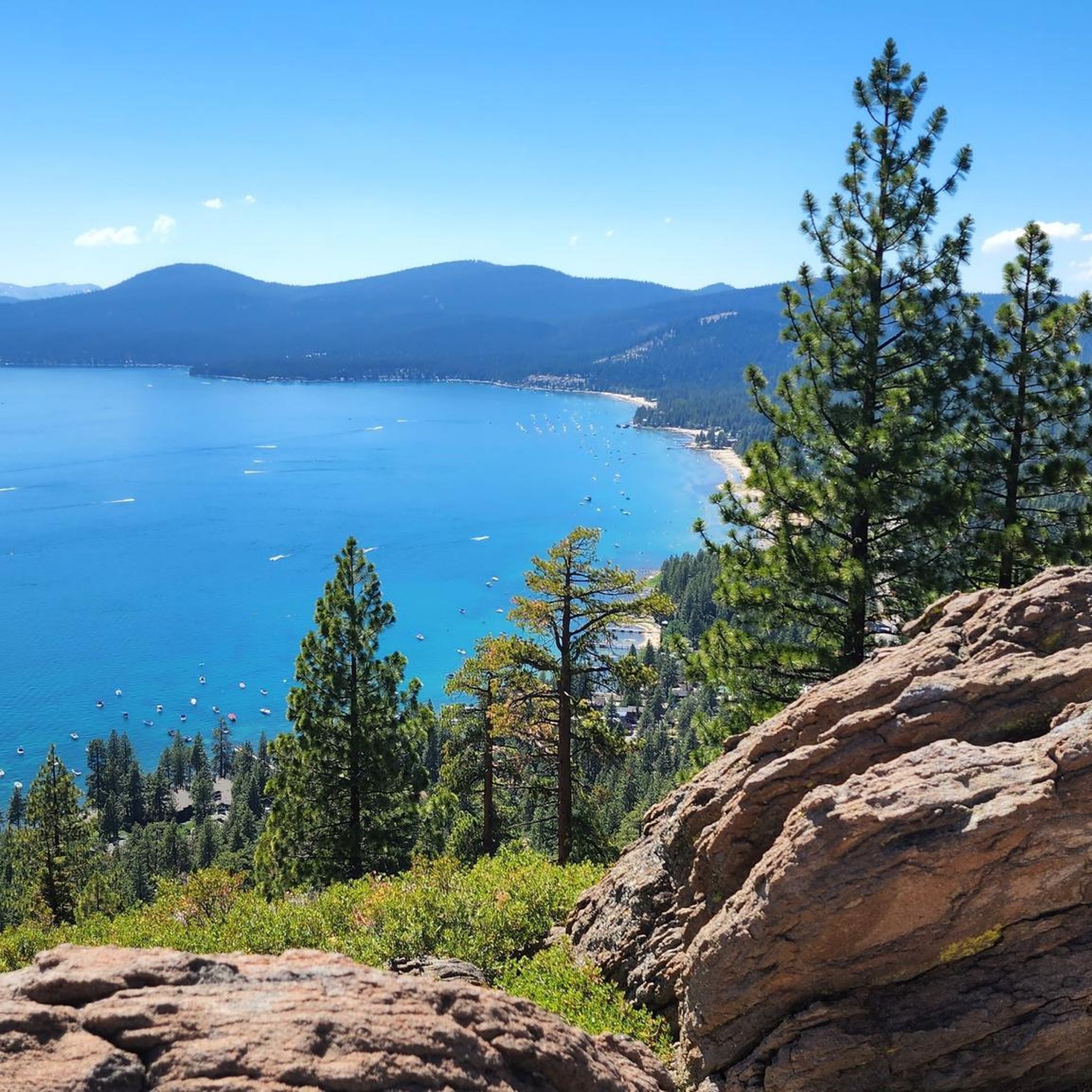
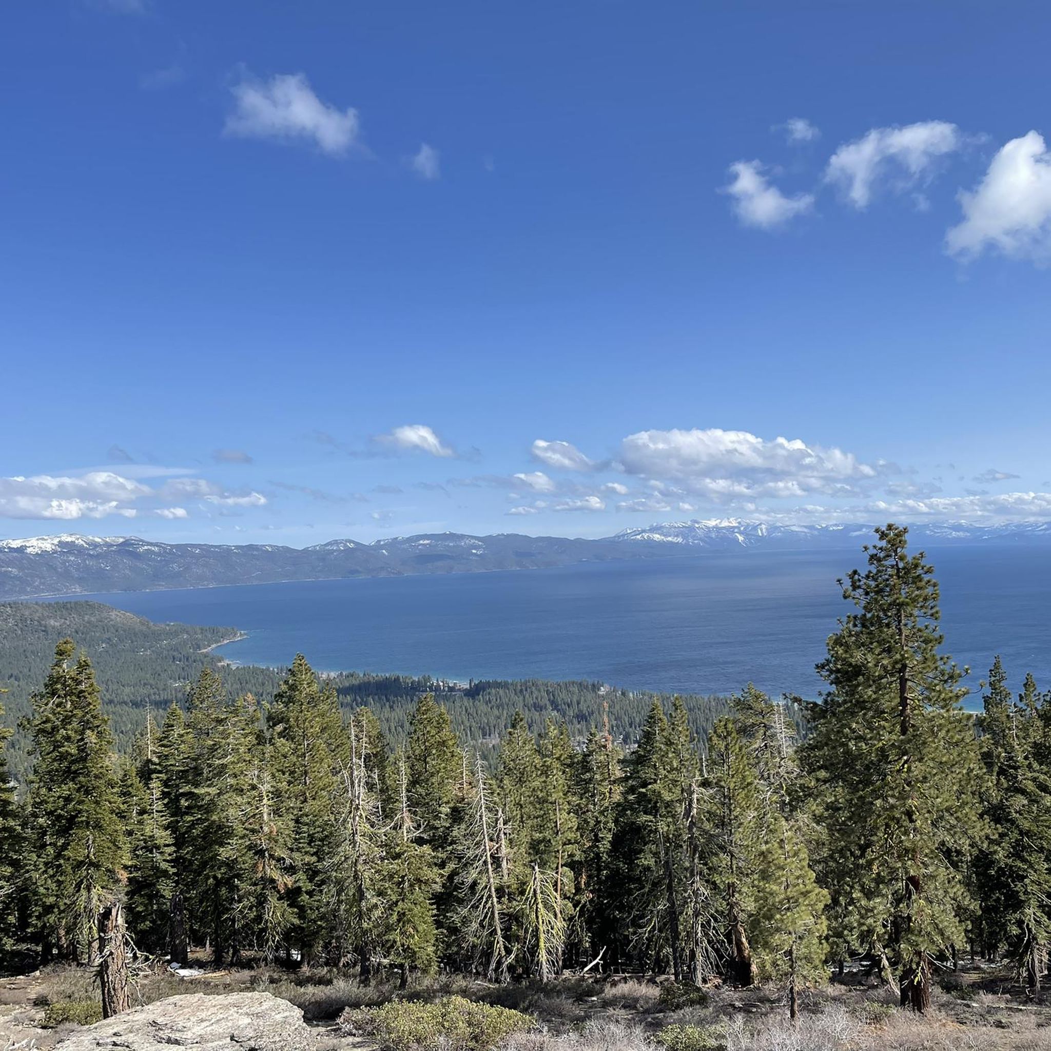
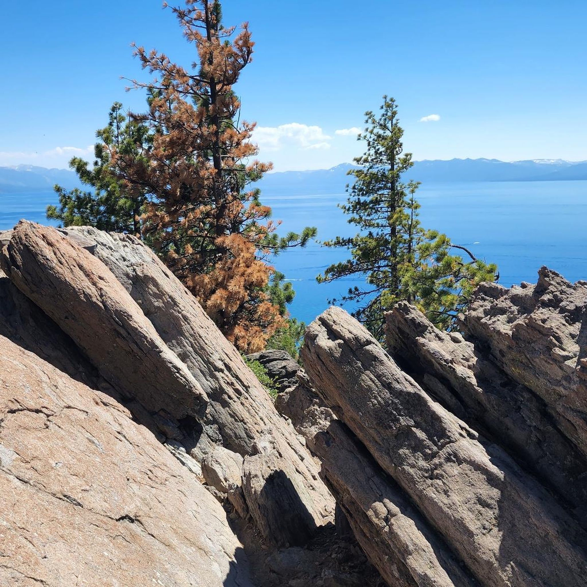
Road cycling routes around Tahoe Vista are characterized by the diverse terrain surrounding Lake Tahoe, offering a mix of challenging mountain ascents and scenic shoreline paths. The region features alpine lakes, dense forests, and mountainous landscapes, providing varied experiences for road cyclists. Paved multi-use trails are also present, meandering along the Truckee River and through natural preserves.
Best road cycling routes around Tahoe Vista
- The most popular road cycling route is Lake Tahoe loop, a 73.1 miles (117.7 km) trail that takes 5 hours 30 minutes to complete. This difficult route offers extensive views of Lake Tahoe and significant elevation changes.
- Another top favourite among local road cyclists is Truckee Downtown – View of Donner Lake loop from Northstar Vail Conservation Easement, a moderate 32.8 miles (52.7 km) path. This route provides views of Donner Lake and traverses through a conservation easement.
- Local road cyclists also love the Sand Harbor Beach – Lake Tahoe loop from Tahoe Vista, a 23.9 miles (38.5 km) trail leading through the scenic Lake Tahoe shoreline, often completed in about 1 hour 40 minutes.
- Road cycling around Tahoe Vista is defined by alpine lakes, dense forests, and mountainous terrain. The network offers options for different ability levels, from challenging climbs to more gentle, paved paths.
- The routes in Tahoe Vista are highly rated by the komoot community with an average score of 4.6 stars from 8 reviews. More than 1,300 road cyclists have used komoot to explore Tahoe Vista's varied terrain.
Last updated: October 25, 2026
5.0
(6)
750
riders
118km
05:31
1,260m
1,260m
Embark on the Lake Tahoe loop, a challenging racebike route that promises an immersive journey through the Sierra Nevada. This difficult ride spans 73.1 miles (117.7 km) and involves a significant 4130 feet (1259 metres) of elevation gain, typically taking around 5 hours and 31 minutes to complete. As you cycle, you'll experience the changing scenery from dense forests to the sparkling turquoise waters of Lake Tahoe. Keep an eye out for the distinctive granite boulders lining the shore near Cave Rock, offering a unique visual highlight. The route also guides you past charming lakeside towns and offers expansive views, including the famous vista from Inspiration Point overlooking Emerald Bay.
To make the most of your racebike adventure, consider planning your ride during the shoulder seasons, such as late April to early May or October. This helps you avoid the heavy traffic often encountered on weekends and holidays, ensuring a more peaceful experience. While much of the route follows main roadways, you will find dedicated paved paths in many sections. These paths offer excellent alternatives to navigate around busier car traffic, enhancing your safety and enjoyment on the loop.
This iconic loop is renowned for showcasing the pristine beauty of Lake Tahoe, a natural wonder nestled within the Sierra Nevada mountains. The route provides a comprehensive tour of the lake's diverse shoreline, from secluded beaches to vibrant lakeside communities. You will encounter a variety of landscapes, from the deep blue of the lake itself to the lush surrounding forests. It's a journey that highlights the unique geological features and the serene atmosphere that makes Lake Tahoe a premier destination for outdoor enthusiasts.
4.8
(4)
161
riders
74.2km
03:07
480m
480m
Moderate road ride. Good fitness required. Some segments of this route may be unpaved and difficult to ride.

28
riders
Moderate road ride. Good fitness required. Mostly well-paved surfaces and easy to ride.
5
riders
65.9km
04:00
1,020m
1,020m
Hard road ride. Very good fitness required. Some segments of this route may be unpaved and difficult to ride.
25
riders
53.3km
02:32
560m
560m
Moderate road ride. Good fitness required. Mostly well-paved surfaces and easy to ride.
Get access to more routes and recommendations from other explorers.
Already have an account?
Our route recommendations are based on thousands of hikes, rides, and runs completed by other people on komoot.
Start today with a free account
Your next adventure awaits.


Tips from the Community

The Tahoe Rim Trail crosses the 121-mile-long Truckee River. Stare down into the crystal clear, cold water. Truckee River is the only outlet of Lake Tahoe, and it empties into Pyramid Lake, creating an Truckee River is the only outlet of Lake Tahoe and it empties into Pyramid Lake creating an endorheic (closed) basin. (closed) basin.
0
0

Fantastic views. Unfortunately, completely overcrowded.
0
0

Brockway Road (Highway 267) offers a challenging climb heading out of Truckee. The first few miles through Martis Valley are mostly flat, giving you a gentle warm-up. Then comes a steady ascent to Brockway Summit at 7,179 feet, 1,400 feet of elevation gain over 8.5 miles. A solid ride if you're looking to mix endurance with alpine scenery.
0
0
Connecting the Truckee River Legacy Trail and downtown Truckee, the bridge crosses the river and leads you to great cafés like Dark Horse Coffee Roasters. In the other direction, it takes you to Truckee River Regional Park.
0
0

The Bayview Campground would offer a good parking lot. However, it is now closed until Spring 2025. Maybe one has to consider parking along the street during day trips.
0
0

Very Nice and Easy trail for all, ride it from Tahoe City all the way to Palisades if you like. beautiful scenery and views along the Truckee River.
0
0

There is a short accessible path to the overlook from Highway 50 with restrooms and three stone benches. You can leave the crushed gravel path to the overlook and climb up on the rocks of the shoreline to get a better view. This spot is well worth the stop!
0
0
Frequently Asked Questions
What kind of terrain can I expect on road cycling routes around Tahoe Vista?
Road cycling routes in Tahoe Vista offer a diverse range of terrain, from challenging mountain ascents with significant elevation gains to more gentle, scenic shoreline paths. You'll encounter alpine lakes, dense forests, and mountainous landscapes, providing varied experiences for all skill levels. The region's elevation, often a mile above sea level, adds to the challenge and the crisp mountain air.
Are there easy or family-friendly road cycling options in Tahoe Vista?
Yes, Tahoe Vista offers several easy and family-friendly road cycling options. Beyond challenging road routes, there are multi-use and paved bike paths suitable for all skill levels. For instance, the Tahoe City Public Utility District Multi-Use Trail System meanders along the scenic West Shore and the Truckee River. Komoot lists 9 easy road cycling tours in the area, ensuring options for a relaxed ride.
What are some scenic highlights or viewpoints I can expect on road cycling routes?
Many routes offer unparalleled views of Lake Tahoe, often running alongside its crystal-clear shoreline. Routes like the Kings Beach to Stateline Fire Lookout loop provide stunning Lake Tahoe vistas. For those seeking higher perspectives, the climb from Incline Village to Mt. Rose Summit offers incredible lake views. You can also explore highlights such as Hidden Beach, Lake Tahoe or the Tahoe East Shore Trail for picturesque scenery.
How many road cycling routes are available in Tahoe Vista?
There are over 25 road cycling routes available around Tahoe Vista, catering to various preferences and skill levels. These include 9 easy routes, 14 moderate routes, and 5 difficult routes, ensuring a suitable option for every cyclist.
What do other road cyclists enjoy most about road cycling in Tahoe Vista?
The road cycling experience in Tahoe Vista is highly rated by the komoot community, with an average score of 4.6 stars from 8 reviews. Cyclists often praise the diverse terrain, from challenging climbs to scenic shoreline paths, and the breathtaking views of Lake Tahoe and its surrounding natural beauty.
Are there any circular road cycling routes around Tahoe Vista?
Yes, many road cycling routes in Tahoe Vista are designed as loops, offering a complete scenic experience. A notable example is the challenging Lake Tahoe loop, which provides extensive views and significant elevation changes. Another popular option is the Sand Harbor Beach – Lake Tahoe loop from Tahoe Vista, leading through the scenic Lake Tahoe shoreline.
What are some natural features to explore while road cycling in Tahoe Vista?
While cycling, you'll encounter a rich tapestry of natural environments, including pristine alpine lakes, dense forests, and mountainous terrain. The Watson Lake Campground area offers beautiful lake views, and the Antone Meadows Natural Preserve features ponds and beaver dams. The region's elevation provides crisp, fresh mountain air throughout your ride.
When is the best time of year to go road cycling in Tahoe Vista?
The best time for road cycling in Tahoe Vista is generally during the warmer months, from late spring through early fall. This period offers favorable weather conditions, with less chance of snow and ice, allowing access to a wider range of routes. Always check local conditions and potential seasonal road closures before planning your trip.
Are there any challenging road cycling routes for experienced riders?
Absolutely. For experienced road cyclists seeking a challenge, Tahoe Vista provides access to routes with significant elevation gains. The climb from Incline Village to Mt. Rose Summit is a notable option, offering stunning lake views and a substantial ascent. The Lake Tahoe loop is also classified as difficult, featuring extensive views and considerable elevation changes.
Where can I find parking for road cycling trails in Tahoe Vista?
While specific parking locations for every trailhead are not detailed, many popular areas around Lake Tahoe and Tahoe Vista offer public parking facilities. For routes along the shoreline or near multi-use paths, look for designated parking areas at beaches, parks, or trail access points. It's advisable to check local signage for parking regulations and availability.
Can I access road cycling routes in Tahoe Vista using public transport with my bike?
Public transport options around Lake Tahoe, such as the TART (Tahoe Area Regional Transit) system, often provide services that can accommodate bicycles, especially during peak seasons. These services can help connect you to various trailheads and cycling routes around the North Shore. It's recommended to check the specific public transport provider's website for their current bike policies and schedules.
Are there any specific landmarks or points of interest along the road cycling routes?
Yes, road cycling routes in Tahoe Vista often pass by or offer views of various landmarks and points of interest. You can cycle past the scenic Hidden Beach, Lake Tahoe, or enjoy the dedicated Tahoe East Shore Trail. For those who enjoy mountain views, Painted Rock and Mount Baldy are notable peaks in the vicinity.
Most popular attractions around Tahoe Vista

Get inspired with the komoot mobile app


Explore more
Browse the best Road cycling routes in other regions.
