The best running trails around Vincent
5.0
(13)
411
runners
44
runs
Jogging around Vincent offers opportunities to explore local parks and natural water features. The area is characterized by its proximity to the Coosa River and Logan Martin Lake, providing scenic backdrops for outdoor activity. Vincent Municipal Park features a dedicated walking track, making it an accessible option for easy jogging routes Vincent. The general landscape provides a pleasant setting for various running routes.
Best jogging routes around Vincent
- The most popular jogging route is Running loop from Azusa, a…
Last updated: May 31, 2026
41
runners
3.72km
00:23
20m
20m
Easy run. Great for any fitness level. Mostly paved surfaces. Suitable for all skill levels.
17
runners
16.9km
01:46
130m
130m
Hard run. Very good fitness required. Mostly paved surfaces. Suitable for all skill levels.

Sign up for free
12
runners
20.6km
02:08
110m
110m
Hard run. Very good fitness required. Mostly paved surfaces. Suitable for all skill levels.
7
runners
14.4km
01:33
60m
60m
Moderate run. Good fitness required. Mostly paved surfaces. Suitable for all skill levels.
12
runners
14.1km
01:32
40m
40m
Moderate run. Good fitness required. Mostly paved surfaces. Suitable for all skill levels.
Get access to more routes and recommendations from other explorers.
Sign up for free
Already have an account?
Our route recommendations are based on thousands of hikes, rides, and runs completed by other people on komoot.
Start today with a free account
Your next adventure awaits.
Login or Signup

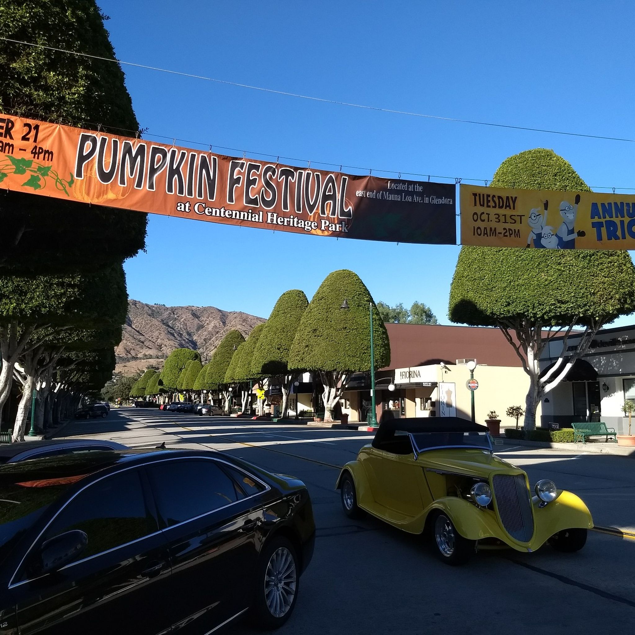
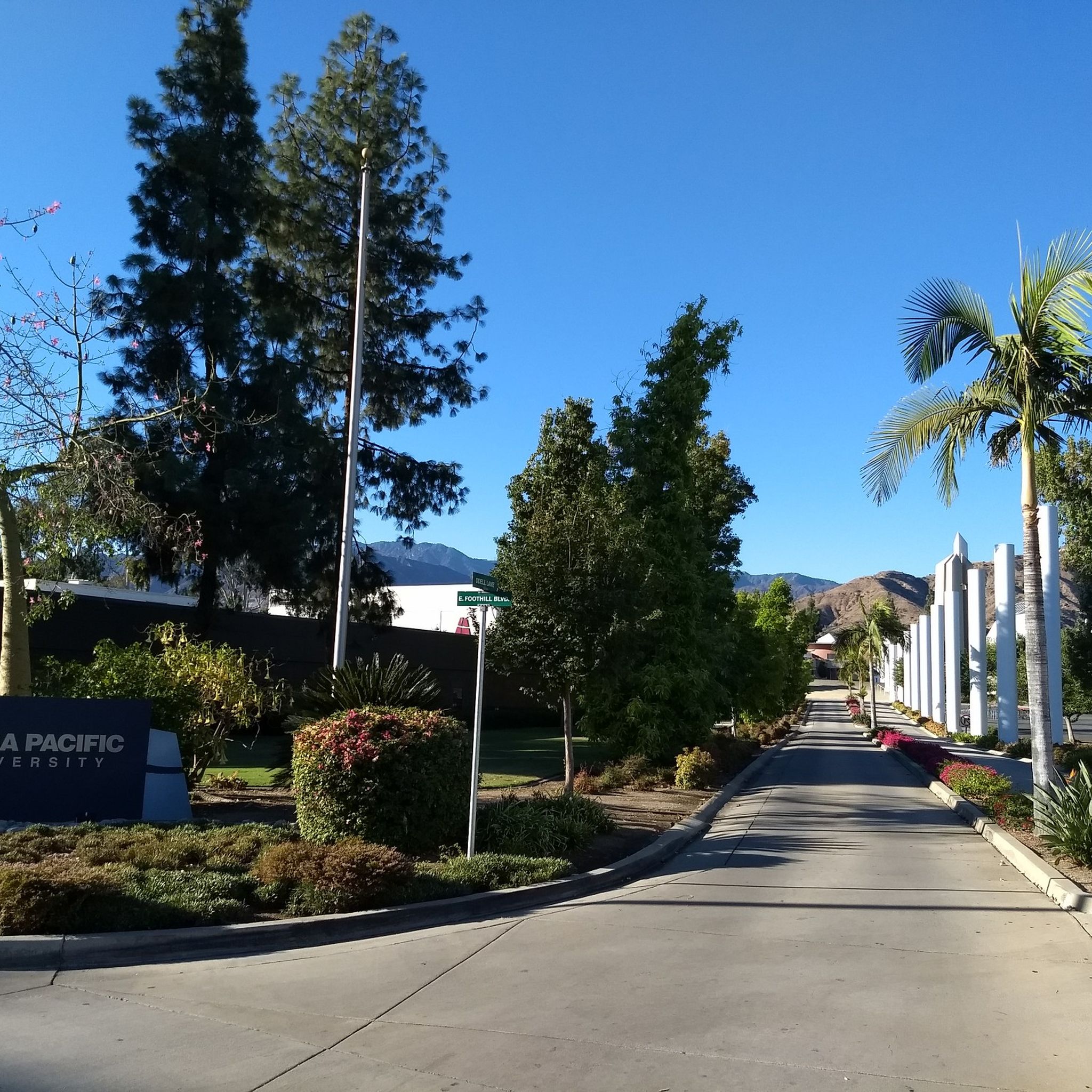

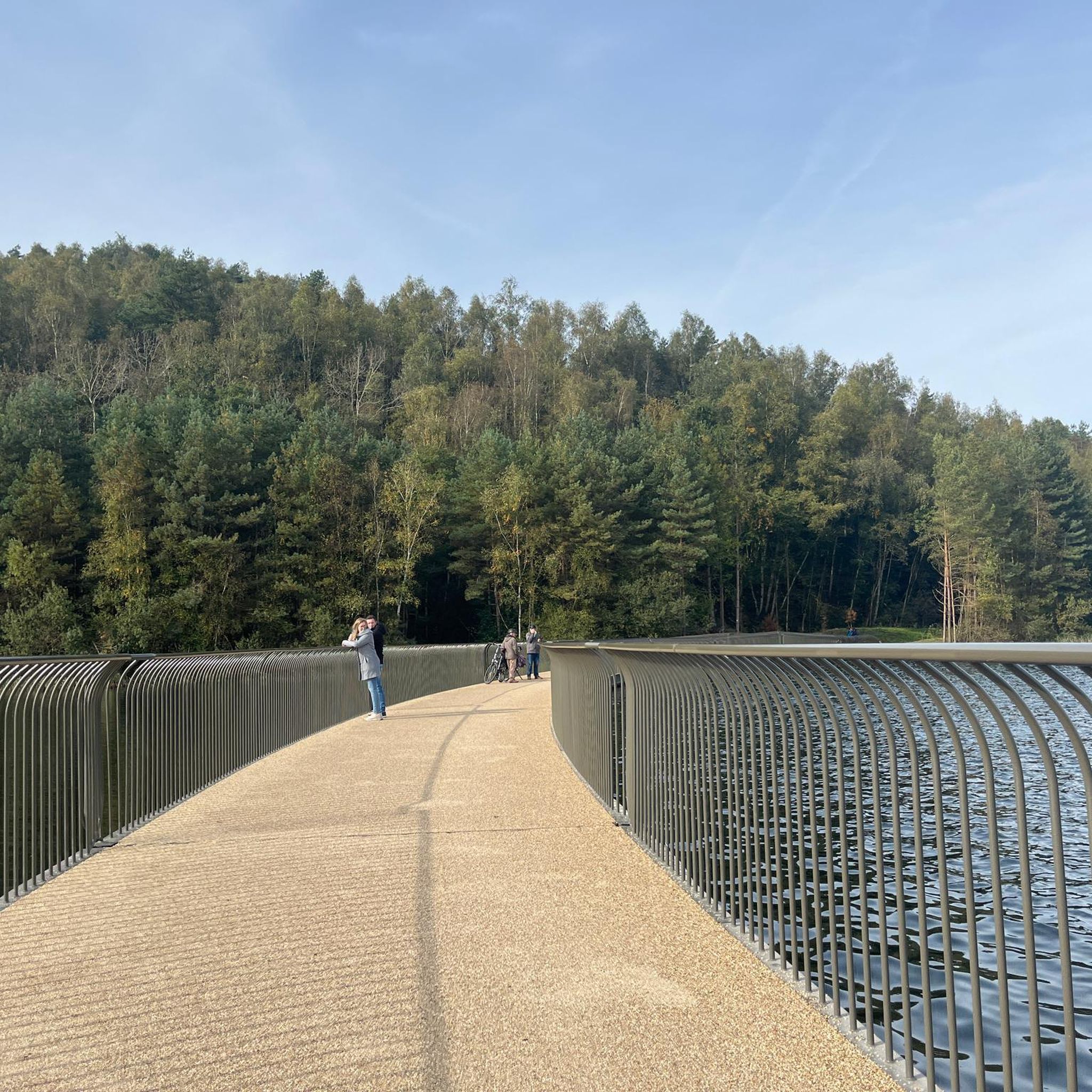
Tips from the Community

Great view from the cycle path of the San Gabriel Mountains in the distance.
0
0

Duarte Bike Trail is a multi-purpose trail that was founded in 1977. It stretches 1.6 miles from Buena Vista Avenue to Royal Oaks Park at Vineyard Avenue. There are both a paved cycling path and a dirt jogging and equestrian trail. The path runs under shady oak trees with gentle slopes, and the trail follows the historic Pacific Electric Railway route, where you can spot an arched bridge that once carried Red Trolley Cars to Los Angeles. Great for biking, jogging, dog walking, or leisurely strolls, the trail includes amenities like parking, restrooms at Royal Oaks Park, drinking fountains, and a bike repair station at Vineyard Avenue. It’s open daily from dawn to dusk.
0
0

Santa Fe Flood Control Basin is a recreation area in the empty reservoir behind the Santa Fe Dam. You can see and access this area from the San Gabriel River Greenway, a 35.4-mile paved, multi-use path that parallels the San Gabriel River.
1
0

The San Gabriel River Greenway is a 35.4-mile paved path that is known as an easy spot to ride. The trail parallels the San Gabriel River.
1
0

This marks the end of the San Gabriel River Bike Path but you now have the option to extend your ride if you want to. You can either simply head back to town or carry on up the San Gabriel Canyon Road to make this a classic day ride.
0
0
This marks the end of the San Gabriel River Bike Path but you now have the option to extend your ride. If you wish you can head simply head back to town or carry on up the San Gabriel Canyon Road to make this a classic day ride.
0
0


One of the few dedicated off-street bike paths, a section of the former historic Pacific Electric Railway route, passing an arched bridge that once carried Red Trolley Cars to Los Angeles. This multi-purpose trail was founded in 1977. It stretches 1.6 miles from Royal Oaks Park at Vineyard Avenue to Buena Vista Avenue. Next to the gently sloped paved cycling path runs a dirt jogging and equestrian trail shaded by oak trees.
2
0
Frequently Asked Questions
How many running routes are available in Vincent?
There are over 40 diverse running routes around Vincent, catering to various skill levels and preferences. You'll find everything from easy jogs to more challenging trails.
Are there easy jogging routes suitable for beginners in Vincent?
Yes, Vincent offers several easy jogging routes perfect for beginners. One popular option is the Running loop from Azusa, which is 2.3 miles (3.7 km) long with minimal elevation gain, making it a gentle introduction to the area's trails.
What kind of scenery can I expect on jogging trails around Vincent?
Jogging routes in Vincent often feature picturesque landscapes, with many trails offering scenic views along the Coosa River and Logan Martin Lake. You can also enjoy the natural beauty of local parks like Vincent Municipal Park and Gorman Park, which provide pleasant backdrops for your run.
Are there any circular or loop running trails in Vincent?
Yes, many of the running routes in Vincent are designed as loops, offering a convenient way to explore without retracing your steps. For example, the Running loop from Azusa is a popular circular option. Another is the Santa Fe Flood Control Basin loop from Irwindale, offering a longer, moderate challenge.
Are there any family-friendly jogging options in Vincent?
Vincent Municipal Park is an excellent spot for family-friendly jogging. It features a dedicated walking track that is safe and accessible for all ages. The park also includes playgrounds and picnic areas, making it a great destination for a family outing combined with some exercise.
What do other runners enjoy most about jogging in Vincent?
The running routes in Vincent are highly rated by the komoot community, with an average score of 5.0 stars from over 10 reviews. Runners often praise the area's picturesque landscapes, the accessibility of local parks, and the variety of routes available, from easy loops to more challenging distances.
Are there any longer running routes for experienced joggers?
Absolutely. For those seeking a longer challenge, the View of San Gabriel Mountains loop from Azusa Downtown is a difficult 10.5 miles (16.9 km) route. Another option is the Duarte Recreational Trail – Duarte Bike Trail loop from Azusa Downtown, which spans 12.8 miles (20.5 km).
Can I find trails with viewpoints or interesting landmarks along the way?
While specific dramatic natural features beyond the river and lake are not explicitly detailed as jogging attractions, the general 'picturesque' nature of Vincent provides a pleasant backdrop. Some routes, like the View of San Gabriel Mountains loop from Irwindale, offer open areas with scenic vistas. You can also explore nearby highlights such as the Santa Fe Flood Control Basin or the View of Puddingstone Reservoir for interesting sights.
Are there any running routes near water bodies like rivers or lakes?
Yes, Vincent's location provides excellent opportunities for running near water. Gorman Park, situated on the Coosa River, offers walking trails with scenic views along the river and Logan Martin Lake. These natural water features enhance the experience for outdoor enthusiasts.
What is the typical duration for running routes in Vincent?
The duration of running routes in Vincent varies significantly depending on the distance and your pace. For instance, an easy route like the Running loop from Azusa takes about 23 minutes, while a moderate route such as the Santa Fe Flood Control Basin loop from Irwindale might take around 1 hour 30 minutes. Longer, difficult routes can take over 2 hours.
Are there any specific parks in Vincent known for jogging?
Vincent Municipal Park is a central hub for outdoor exercise, featuring a dedicated walking track ideal for joggers. Gorman Park, located on the Coosa River, also offers walking trails with scenic views, providing a tranquil environment for a run.
Most popular attractions around Vincent

Get inspired with the komoot mobile app


Explore more
Browse the best Running Trails & Routes in other regions.
