The best road cycling routes around West Carson
4.3
(52)
3,039
riders
38
rides
Road cycling routes around West Carson offer a diverse landscape, ranging from urban paths to scenic coastal stretches. The region features dedicated bike paths, including those along the Dominguez Channel, and provides access to broader trail networks. Terrain varies from mostly flat, paved routes to more challenging rides with significant elevation changes in areas like the Palos Verdes hills. This mix of urban, greenbelt, and coastal environments provides varied experiences for road cyclists.
Best road cycling routes around West Carson
…Last updated: August 21, 2026
11
riders
103km
04:40
430m
430m
Moderate road ride. Good fitness required. Mostly well-paved surfaces and easy to ride.
21
riders
42.6km
02:02
560m
560m
Moderate road ride. Good fitness required. Mostly well-paved surfaces and easy to ride.

Sign up for free
34.2km
01:31
180m
180m
Easy road ride. Great for any fitness level. Mostly well-paved surfaces and easy to ride.
5.0
(2)
157
riders
Moderate road ride. Good fitness required. Mostly well-paved surfaces and easy to ride.
4.5
(2)
85
riders
45.5km
02:18
760m
760m
Moderate road ride. Good fitness required. Mostly well-paved surfaces and easy to ride.
Get access to more routes and recommendations from other explorers.
Sign up for free
Already have an account?
Our route recommendations are based on thousands of hikes, rides, and runs completed by other people on komoot.
Start today with a free account
Your next adventure awaits.
Login or Signup


Tips from the Community

Long stretch of car-free public beachfront, only accessible by an excellent bike/pedestrian boardwalk trail.
0
0
Torrance Beach lies between Redondo Beach and Malaga Cove. The region shared by Torrance and Redondo Beaches is often called “RAT Beach” (short for “Right After Torrance” Beach or “Redondo and Torrance Beach”). This beautiful, soft sand beach has 40 acres of beach and is at the foot of cliffs which extend to the Palos Verdes Peninsula. There restrooms, a concession stand, showers, bike path, beach wheelchairs, and volleyball nets. Torrance Beach is great for swimming, fishing, scuba and skin diving, and surfing.
1
0

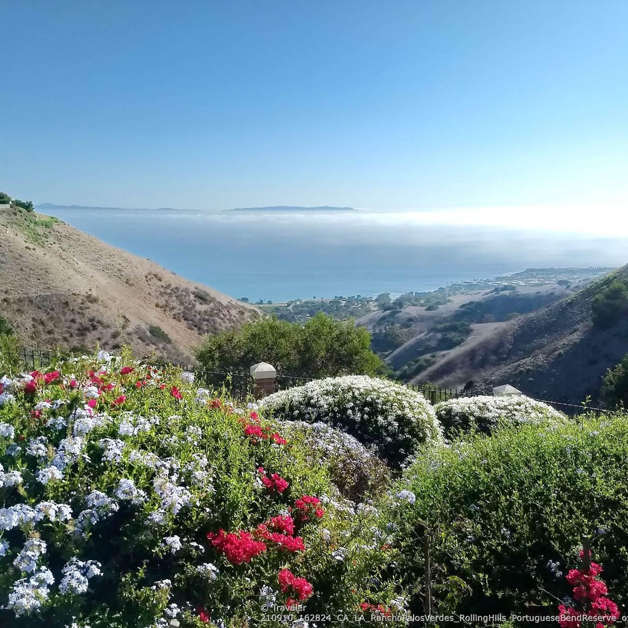
On a clear day, you can see Catalina Island in the distance. The island sits 47 miles off the coast.
0
0
Palos Verdes Drive is a scenic ride with climbs, descents, and turns. The South segment near the Portuguese Bend is prone to landslides and is sometimes closed. The best times to ride are in the mornings on weed days, when there is minimal traffic and cooler temperatures. Public restrooms and water are available at the Point Vicente Interpretive Center, Abalone Cove Park, and Malaga Cove School, located in the parking area.
1
0
As you ride along Palos Verdes Drive West, look down into Bluff Cove, a scenic rocky cove popular with local surfers, scuba divers, and snorkelers braveing the shoreline. A hiking trail descends to Bluff Cove Beach, with a steeper trail leading to Flat Rock Point, where you can explore tide pools at low tide. Walking south beyond the cove takes you into Palos Verdes Estate Shoreline Preserve, continuing to Palos Verdes Point and the rusted remains of a shipwreck along the Shipwreck Hiking Trail.
1
0
Torrance Beach sometimes goes by another name: locals call the last sandy stretch before the Palos Verdes cliffs "RAT" Beach, meaning "Right After Torrance." Torrance Beach, nestled between Redondo Beach and Malaga Cove, features 40 acres of soft sand at the base of cliffs extending to the Palos Verdes Peninsula. With over 300 parking spaces, many at the end of the Esplinade, the beach offers restrooms, showers, a concession stand, bike paths, and volleyball nets. It's a popular spot for swimming, fishing, scuba diving, and surfing.
0
0
Miramar Park, located on 1.6 acres above Torrance Beach, offers pristine ocean views and easy access to the shoreline via a ramp or staircase. Owned and maintained by the City of Torrance, the park was dedicated in 1984 after a collaborative effort with Los Angeles County to secure beach access. It features benches, security lighting, whimsical animal statues, and a plaque marking the historic site of the Hollywood Riviera Beach Club, which existed from 1931 to 1958. The park also includes a “Fido Fountain” for dogs and marks the end of the upper Esplanade.
0
0

Frequently Asked Questions
What types of road cycling routes can I find around West Carson?
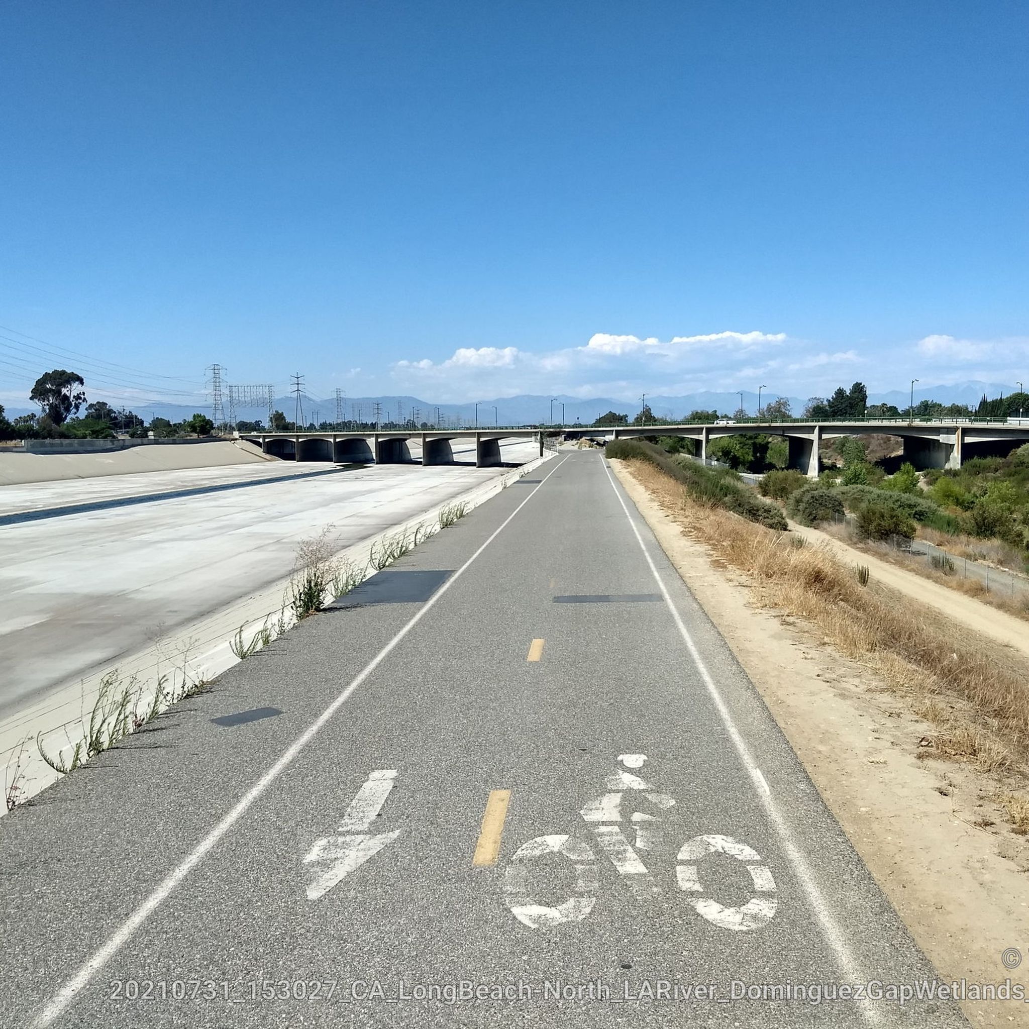
West Carson offers a diverse range of road cycling experiences. You'll find everything from urban paths and dedicated greenbelt trails, such as the Dominguez Channel Trail, to scenic coastal routes with refreshing sea breezes and panoramic Pacific Ocean views. The area also connects to broader trail networks, providing varied terrain and distances for all skill levels.
Are there road cycling routes suitable for beginners or those looking for an easy ride?
Yes, West Carson has several easy road cycling routes. For instance, the Gardena to Manhattan Beach loop is an easy 21.2-mile path offering coastal views and urban exploration. In total, there are 9 easy routes available, many of which are paved and suitable for all skill levels.
Where can I find challenging road cycling routes with significant elevation gain?
For cyclists seeking a challenge, routes with significant elevation gain can be found in areas like the Palos Verdes hills. The Del Sol Fire Road – Via Del Monte Climb loop from West Carson is a difficult 39.4-mile trail known for its climbs. The Palos Verdes Drive Loop, though not listed in the guide, is also noted for its challenging elevation over 23.4 miles.
What scenic views or natural features can I expect on West Carson's road cycling routes?
Many routes offer stunning coastal views, especially along paths that hug the Pacific Ocean, providing refreshing sea breezes. You can also cycle through picturesque landscapes along trails like the Dominguez Channel Trail, which winds through an urban greenbelt. The Palos Verdes Drive Scenic Route is a highlight for its breathtaking vistas.
Are there any interesting landmarks or attractions to see along the road cycling routes?
Yes, several routes pass by or near notable attractions. You might cycle past beautiful beaches like Torrance Beach and Redondo Beach. Other points of interest include Miramar Park, offering great views, and the Los Angeles River Greenway, which crosses the Pacific Coast Bike Route.
What is the best time of year to go road cycling in West Carson?
West Carson generally offers favorable cycling conditions year-round due to its mild Southern California climate. However, spring and fall often provide the most comfortable temperatures for longer rides. Summer can be warm, especially inland, but coastal routes benefit from sea breezes. Winter is typically mild with occasional rain.
Are there any long-distance road cycling routes available in the West Carson area?
Yes, for those looking for longer rides, West Carson provides access to extensive routes. The Tour de Los Angeles is a significant route covering 63.7 miles (102.6 km), exploring a wide area and connecting various parts of the city. The Los Angeles River and South Bay Bike Loop also offers a more extensive, difficult ride of 57.4 miles.
What do other road cyclists say about the routes in West Carson?
The road cycling routes around West Carson are highly regarded by the komoot community, holding an impressive average rating of 4.36 stars from over 77 reviews. Cyclists often praise the diverse terrain, from coastal paths to urban greenbelts, and the variety of options available for different ability levels.
Are there loop road cycling trails around West Carson?
Yes, many of the road cycling routes in West Carson are designed as loops, offering convenient starting and ending points. Examples include the Gardena to Manhattan Beach loop and the Del Sol Fire Road – Via Del Monte Climb loop from West Carson. The Victoria Park Loop also allows for exploration of Carson's neighborhoods.
Can I access these road cycling routes using public transport?
West Carson and its surrounding areas are served by various public transportation options, including local bus services, which can provide access to different parts of the cycling network. While specific routes for public transport to trailheads vary, the region's urban nature generally allows for some level of accessibility.
Are there any road cycling routes that explore urban areas and local culture?
Absolutely. Routes like the Victoria Park Loop allow cyclists to explore Carson's vibrant neighborhoods, local shops, restaurants, and cultural landmarks. The Roadbike loop from Los Angeles Harbor College also offers a moderate ride through an urban setting.
How many road cycling routes are available in total around West Carson?
There are over 40 road cycling routes available around West Carson, catering to a wide range of preferences and skill levels. This includes 9 easy routes, 28 moderate routes, and 3 difficult routes, ensuring there's something for every cyclist.
Most popular routes around West Carson
Most popular attractions around West Carson

Get inspired with the komoot mobile app


Explore more
Browse the best Road cycling routes in other regions.
