The 7 Most Amazing Peaks around Wrightwood
Best mountain peaks around Wrightwood are situated within the San Gabriel Mountains, providing diverse terrain for outdoor activities. This region features high-elevation summits and challenging trails, offering extensive views of the surrounding landscapes. Wrightwood serves as a base for accessing these natural landmarks, which include prominent peaks and significant hiking routes.
Best mountain peaks around Wrightwood
- The most popular mountain peaks is Mount Baldy, a summit nicknamed for the absence of trees near its peak. It rises to 10,046…
Last updated: September 28, 2026
Mount Baldy
Highlight • Summit
Tip by

Devil's Backbone Trail
Highlight (Segment) • Trail
Tip by

Sign up now to discover places like this
Get recommendations on the best single tracks, peaks, & plenty of other exciting outdoor places.
West Baldy
Highlight • Summit
Tip by

Mount Harwood
Highlight • Summit
Tip by
Table Mountain Climb via Big Pines Hwy
Highlight (Segment) • Climb
Tip by

Sign up for free to discover even more peaks around Wrightwood.
Already have an account?
Start today with a free account
Your next adventure awaits.

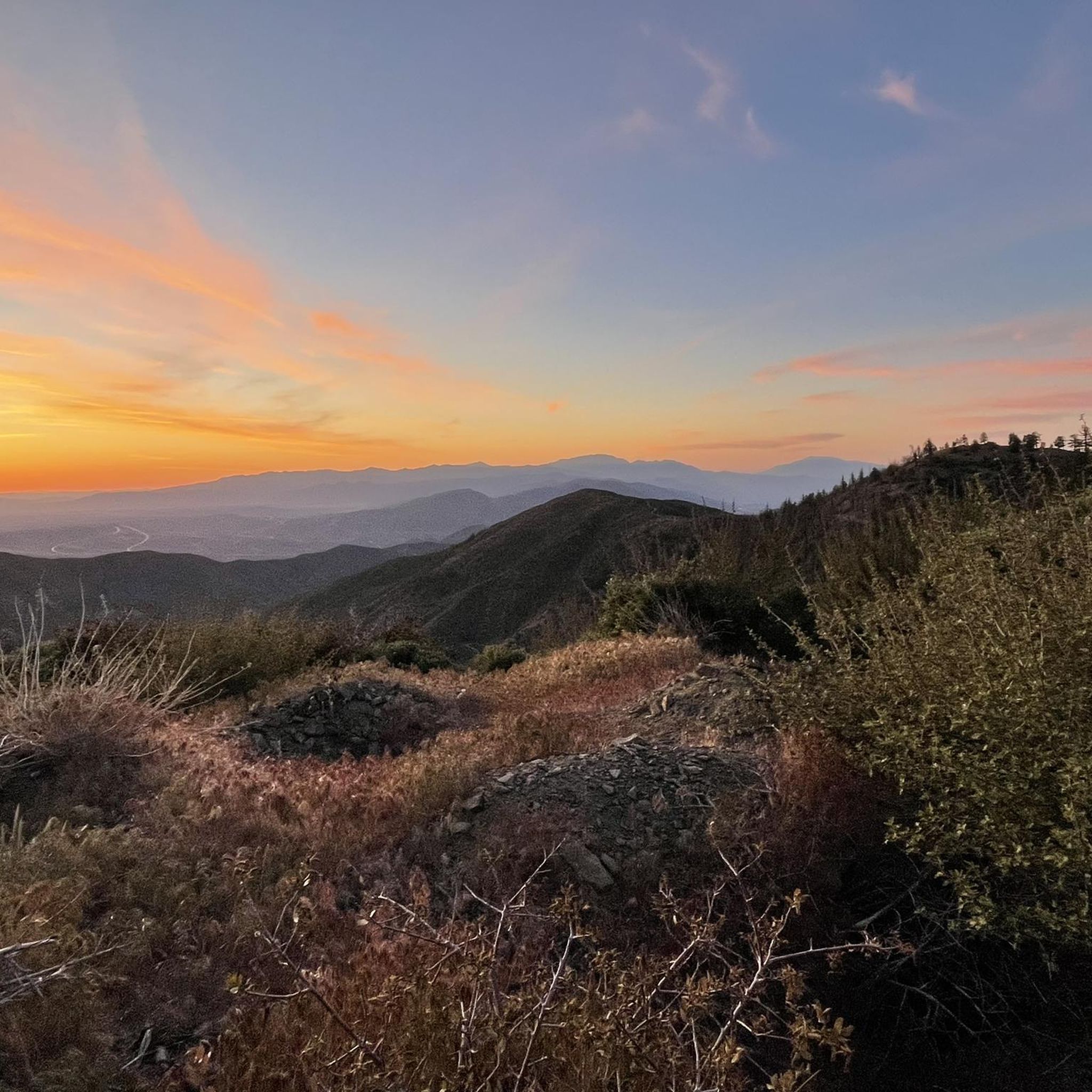
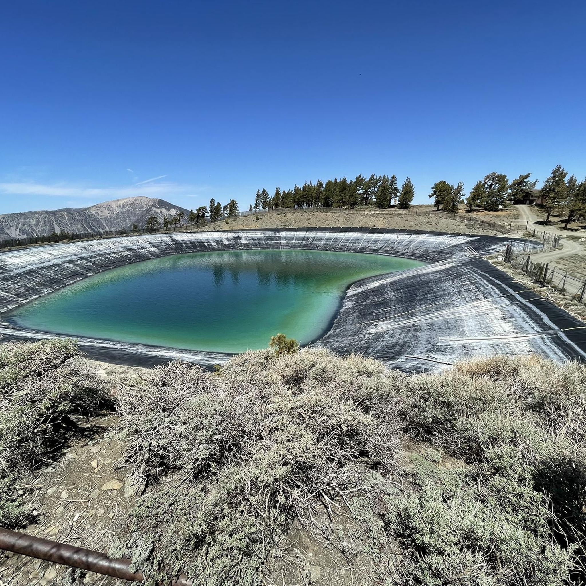
Other adventures around Wrightwood

Tips from the Community

Climbing Big Pines Highway towards Table Mountain takes you on a scenic journey from the high desert transition zone up into the pine forests of the San Gabriel Mountains near Wrightwood. You'll ascend steadily for approximately 8-10 miles, gaining around 2,500-3,000 ft to reach altitudes near 7,000 ft where you can access Table Mountain Road. Expect average gradients of 5-7%, with sections hitting 8-10% as the road winds upwards. Enjoy the expansive views opening up behind you over the Mojave Desert floor, transitioning to cooler, forested terrain.
0
0

West Baldy is the high sub-peak to Mount San Antonio (Mount Baldy). It is the second highest named point in the San Gabriel Mountains and Los Angeles County. Mount Baldy itself can have quite a crowd during the weekend whereas West Baldy you can usually stand alone finding solitude.
1
0
Mount Harwood is the first summit east of Mount San Antonio. The United States Geological Survey recognized the name to honor California educator and conservationist Aurelia Squire Harwood in 1965
1
0

Mt. Baldy is the highest peak in the San Gabriel Mountains and gets its nickname from the absence of trees near its summit. It is a grind to get here on your bike but you will be rewarded with gorgeous views of the surrounding mountain tops. A very popular and special place.
0
0

West Baldy lies directly west of Mount San Antonio (Mt. Baldy) via a well-marked, well-traveled trail. Standing at 9988 feet above sea level, this high sub-peak to Mount San Antonio offers fantastic views of Mount San Antonio and the surrounding area. In comparison to Mount San Antonio, this summit is quiet and can be a nice place to escape the crowds at the high point of Los Angeles County.
0
0
Mount Harwood stands at 9552 feet and is directly east of Mount San Antonio on its long eastern ridge line. Named for Aurelia Squire Harwood, a prominent conservationist and Sierra Club Member, this incredible summit grants panoramic views of the entire area and of Mount San Antonio.
0
0
The Devils Backbone Trail is one of the most popular trails to summit Mount San Antonio (Mt. Baldy). Unlike the other most popular trail, the Baldy Bowl, or Ski Hut, Trail this trail is longer and more gradual making for a somewhat easier, but still very challenging experience. You also get amazing views off of the exposed ridge line as you hike up to the tallest point in Los Angeles County.
0
0

Frequently Asked Questions
What are some of the most popular mountain peaks to visit near Wrightwood?
The region around Wrightwood offers several prominent peaks. Mount Baldy (Mount San Antonio) is the highest in Los Angeles County, known for its treeless summit and extensive views. Other popular choices include Mount Baden-Powell, famous for its challenging hike and panoramic vistas, and Wright Mountain, which offers great views of Wrightwood and the High Desert.
Are there challenging hiking trails to reach these peaks?
Yes, many peaks around Wrightwood offer challenging trails. For instance, the hike to Mount Baden-Powell involves approximately 40 switchbacks and a significant elevation gain. The Devil's Backbone Trail is a popular, challenging route to the summit of Mount San Antonio, known for its exposed ridge line and amazing views. For those seeking an epic adventure, the North Backbone Trail connects several peaks, including Wright Mountain, Pine Mountain, Dawson Peak, and Mount Baldy.
What unique natural features can I expect to see on these mountain peaks?
You can encounter diverse natural features. On Mount Baden-Powell, you'll hike through varied conifer forests and can see a 1,500-year-old limber pine. Wright Mountain is notable for its Sheep Canyon and Heath Canyon landslides. Pine Mountain is covered in dense stands of Jeffrey Pine and white fir. From many summits, like Mount Harwood, you'll get panoramic views of the entire San Gabriel range, the Mojave Desert, and even the Pacific Ocean on clear days.
What is the best time of year to hike the mountain peaks around Wrightwood?
The best time to hike generally depends on the specific peak and your preference. Summers are dry, offering clear conditions for hiking. However, higher peaks like Mount San Antonio receive significant snow in winter, making them suitable for experienced hikers with ice axes and crampons. Spring and fall often provide pleasant temperatures and vibrant scenery.
Are there any historical or cultural landmarks associated with these peaks?
Yes, Mount Baden-Powell is named after Lord Robert Baden-Powell, the founder of the Boy Scout movement, and a monument dedicated to him stands at its summit. Mount Harwood was named in honor of Aurelia Squire Harwood, a prominent California educator and conservationist.
What outdoor activities can I do near the mountain peaks around Wrightwood?
Beyond peak bagging, the area offers a variety of outdoor activities. You can find numerous running trails, such as the challenging Devil's Backbone Trail loop, or more moderate hiking routes like Wright Mountain via Acorn Trail. For easier options, explore trails like the Pacific Crest Trail sections near Inspiration Point. You can find more details on these activities in the Running Trails around Wrightwood and Hiking around Wrightwood guides.
Are there any easy mountain hikes suitable for beginners near Wrightwood?
Yes, there are easier options available. The Circle Mountain Trail offers an easy hiking experience. Additionally, sections of the Pacific Crest Trail, such as the route from Inspiration Point to Blue Ridge, are considered easy. For more choices, refer to the Easy hikes around Wrightwood guide.
Which peaks offer the best panoramic viewpoints?
Many peaks provide exceptional views. Mount Baden-Powell offers spectacular 360-degree panoramic views. Wright Mountain provides extensive vistas of Wrightwood, the High Desert, and the San Bernardino Mountains. From Mount Baldy, on a clear day, you can see the Sierra Nevada, San Gorgonio, San Jacinto peaks, and even the Pacific Ocean and Catalina Island. Mount Islip also stands out for its broad views over the heart of the San Gabriels.
What is the North Backbone Trail and which peaks does it connect?
The North Backbone Trail is a significant route in the San Gabriel Mountains. It connects several prominent peaks, including Pine Mountain, Dawson Peak, and Mount Baldy. Undertaking this trail can be a challenging and rewarding adventure, offering unique perspectives of the region's highest points.
What do visitors enjoy most about the mountain peaks around Wrightwood?
Visitors frequently praise the challenging yet rewarding experiences, especially the extensive panoramic views from the summits. The diverse landscapes, from dense forests to treeless peaks, and the opportunity to hike sections of the Pacific Crest Trail are also highly appreciated. The sense of accomplishment from reaching high-elevation summits like Mount Baldy is a common highlight.
Can I access the Pacific Crest Trail from the Wrightwood area?
Yes, the Pacific Crest Trail (PCT) runs through the region. You can access sections of the PCT from the Wrightwood area, including along the rim of Wright Mountain and near Inspiration Point. These sections offer varying difficulties, from easy strolls to more challenging segments.
Most popular routes around Wrightwood
Most popular attractions around Wrightwood

Get inspired with the komoot mobile app


Explore more
See even more amazing summits around Wrightwood with these guides:
