The best walks and hikes around Basalt
37
hikers
5
hikes
Hiking around Basalt, Colorado, offers access to diverse landscapes within the Roaring Fork Valley, characterized by its confluence of the Frying Pan and Roaring Fork Rivers. The region features prominent natural landmarks such as Mount Sopris and Basalt Mountain, which provide a backdrop to many trails. Hikers can explore areas bordering the White River National Forest, encountering varied terrain from riverside paths to elevated viewpoints. The geology includes basaltic rock formations and sandstone canyons, contributing to a range of hiking…
Last updated: September 28, 2026
9
hikers
6.81km
02:12
500m
0m
Moderate hike. Good fitness required. Easily-accessible paths. Suitable for all skill levels.
4
hikers
2.90km
01:17
430m
0m
Moderate hike. Good fitness required. Easily-accessible paths. Suitable for all skill levels.

17.9km
04:41
150m
80m
Moderate hike. Good fitness required. Easily-accessible paths. Suitable for all skill levels.
14.0km
03:42
200m
10m
Moderate hike. Good fitness required. Easily-accessible paths. Suitable for all skill levels.
22
hikers
20.6km
07:29
1,280m
1,280m
Hard hike. Very good fitness required. Easily-accessible paths. Suitable for all skill levels.
Our route recommendations are based on thousands of hikes, rides, and runs completed by other people on komoot.
Start today with a free account
Your next adventure awaits.
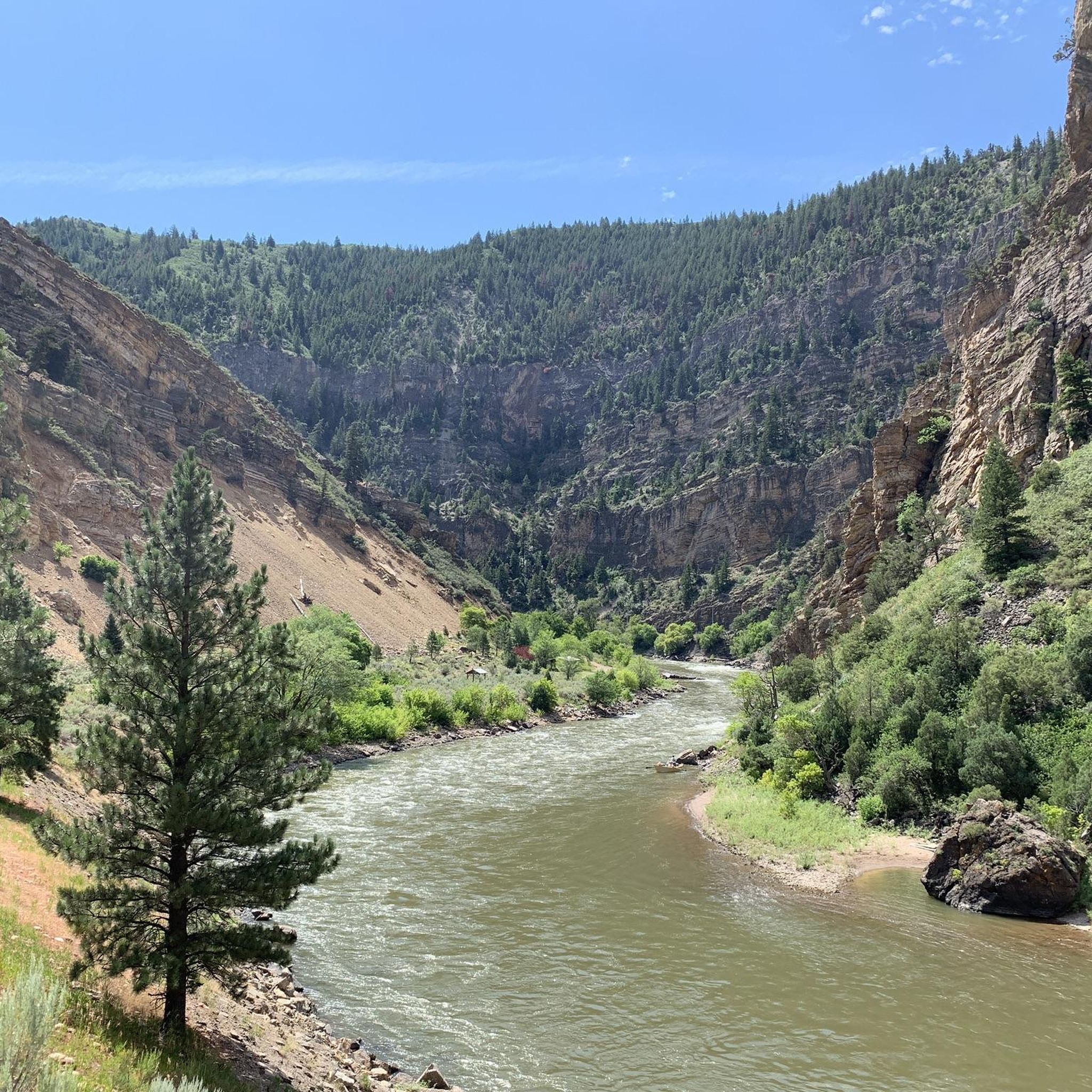

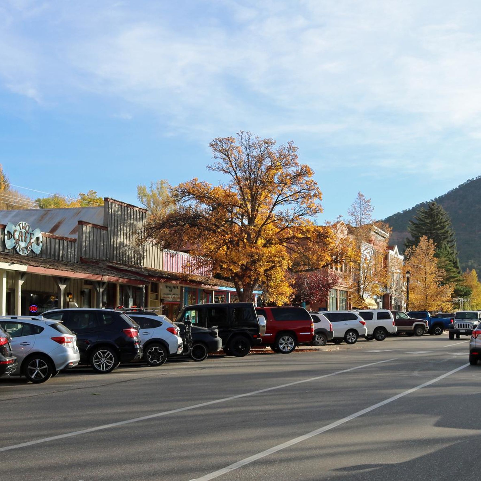

Tips from the Community

Thomas Lake is a beautiful alpine lake located on the east side of Mt. Sopris. At roughly 13,000 feet in elevation, this lake has clear blue waters and great camping on the shores.
0
0

Mt. Sopris is located in the Elk Range of Colorado and is actually a twin summit mountain. It stands above the town of Carbondale and the Roaring Fork Valley at an elevation of 12,965 ft.
0
0

At this point, the trail continues up to the Mount Sopris summit. If you just wanted a run up to Thomas Lakes, this is a good turn around spot. Otherwise, be prepared for a steady climb, rockier terrain, and some switchbacks on your way to the summit.
0
0
At this point, the trail continues up to the Mount Sopris summit. If you came for a day hike to Thomas Lakes, this is a good turn around spot. Otherwise, be prepared for a steady climb and some switchbacks on your way to the summit.
0
0
Thomas Lake is a beautiful alpine lake located on the east side of Mt. Sopris.At roughly 13,000 feet in elevation, this lake has clear blue waters and great camping on the shores. Mountain bikers are not to pass the first lake and enter the wilderness beyond.
0
0

A stunning lake system in the White River National Forest, Thomas Lakes is an ideal spot to cool off during a hike and maybe enjoy a picnic.
0
0
Mt. Sopris is located in the Elk Range of Colorado and is actually a twin summit mountain. It stands above the town of Carbondale and the Roaring Fork Valley at an elevation of 12,965 ft.
1
0
Frequently Asked Questions
How many hiking trails are available around Basalt?
Komoot features five distinct hiking routes around Basalt, offering a range of experiences from moderate to difficult. These trails allow you to explore the diverse landscapes of the Roaring Fork Valley and its surroundings.
What is the most challenging hike near Basalt?
For experienced hikers seeking a significant challenge, the Mount Sopris Trail is the most difficult option listed, covering over 20 kilometers with more than 1200 meters of elevation gain. This strenuous route rewards with panoramic views from the iconic Mount Sopris.
Are there any trails with significant viewpoints?
Absolutely. The Arbaney Kittel Viewpoint trail is renowned for its spectacular vistas of Basalt Mountain, the Fryingpan Valley, and the broader Roaring Fork Valley. The challenging ascent is well worth the effort for the expansive scenery.
Are there any family-friendly or easier hiking options?
While the routes listed here are generally moderate to difficult, sections of the Rio Grande Trail are very accessible and suitable for families. This popular, mostly paved route spans 42 miles from Aspen to Glenwood Springs, with Basalt at its halfway point, offering leisurely walks along the river. For a dedicated family-friendly option, consider the Red Hill Loop, which is well-regarded in the wider Basalt area.
Can I hike with my dog on trails around Basalt?
Many trails in the White River National Forest, which borders Basalt, are dog-friendly, but regulations can vary. It's always best to check specific trail rules regarding leashes and waste disposal before heading out. The Rio Grande Trail is generally a good option for walks with leashed dogs.
What natural features can I expect to see on hikes in Basalt?
Basalt's trails offer a rich tapestry of natural beauty. You'll encounter the majestic presence of Mount Sopris, the unique basaltic rock formations of Basalt Mountain, and the pristine waters of the Frying Pan and Roaring Fork Rivers. The area also features dramatic sandstone canyons, waterfalls, and towering cliffs, particularly in places like Seven Castles.
Are there any trails that follow rivers or lakes?
Yes, the Rio Grande Trail: Mulford to Basalt and the Rio Grande Trail itself offer extensive stretches alongside the Roaring Fork River. Additionally, the Thomas Lakes Trail leads to beautiful alpine lakes, providing a serene waterside hiking experience.
What is the best time of year to hike in Basalt?
The late spring, summer, and early autumn months (May through October) generally offer the best conditions for hiking in Basalt. During these periods, trails are typically clear of snow, and the weather is pleasant. Fall brings stunning autumn foliage, especially in the higher elevations.
Are there any circular hiking routes?
While the specific routes listed here are primarily out-and-back or point-to-point, the wider Basalt area and White River National Forest offer numerous loop options. For example, the Red Hill Loop is a popular moderate and family-friendly circular trail nearby. For more challenging multi-day loops, consider sections of the Four Pass Loop.
What kind of terrain should I expect on Basalt's hiking trails?
The terrain varies significantly. You can expect well-maintained, mostly paved paths along the Rio Grande Trail, while trails like Arbaney Kittel Viewpoint and Thomas Lakes Trail involve steeper, unpaved ascents on natural surfaces. The Mount Sopris Trail, being difficult, will feature rugged, rocky, and potentially exposed sections.
Are there any hidden gems or less-known trails in the Basalt area?
Beyond the well-known routes, the Basalt area is rich with local favorites. The Basalt High School Trail offers expansive views of Basalt and the Midvalley, while the Hillside Trail provides wonderful overlooks of Downtown Basalt. For a forest escape, the Ruedi Trail above Ruedi Reservoir is often praised for its scenic drive to the trailhead and peaceful atmosphere.

Get inspired with the komoot mobile app


Explore more
Browse the best Hikes in other regions.
