The best walks and hikes around Windsor
4.7
(7)
313
hikers
57
hikes
Hiking around Windsor offers access to diverse natural landscapes, including rare tallgrass prairies, oak savannas, and Carolinian forests. The region is characterized by its unique ecosystems and proximity to the Detroit River and Lake Erie, providing scenic waterfront trails. Elevation changes are generally gentle, with the highest point in Essex County being Malden Park. These features create varied environments for outdoor activities.
Best hiking trails around Windsor
- The most popular hiking route is Windsor Lake Loop Trail, a 2.4…
Last updated: August 18, 2026
9
hikers
2.60km
00:39
10m
10m
The Houts Loop offers an easy hiking experience, covering 1.6 miles (2.6 km) with a gentle elevation gain of just 18 feet (5 metres). You can comfortably complete this route…
5.58km
01:24
10m
0m
Embark on an easy hike along the Jones Ditch and Poudre River Trail, a pleasant route that stretches for 3.5 miles (5.6 km). You will experience minimal climbing, with only…

Sign up for free
5.59km
01:24
0m
10m
If you're looking for a gentle outing, the Poudre River Trail offers an easy hike for 3.5 miles (5.6 km). You'll follow the scenic Cache La Poudre River, gaining only…
1.13km
00:17
0m
0m
This easy 0.7-mile hike on the Poudre River Trail offers a quick, accessible walk through the Arapaho Bend Natural Area with river views.
57.2km
14:29
120m
120m
Hike the 35.5-mile Poudre River Trail, a difficult route with 387 feet of elevation gain, offering diverse scenery along the Cache la Poudre
Get access to more routes and recommendations from other explorers.
Sign up for free
Already have an account?
Our route recommendations are based on thousands of hikes, rides, and runs completed by other people on komoot.
Start today with a free account
Your next adventure awaits.
Login or Signup
Tips from the Community

There is a small trailhead with access to the Poudre River Trail and a network of other tight singletrack trails that wind between the Poudre and nearby reservoirs. You can see the ruins of the Strauss Cabin from the trail just north of the parking lot.
0
0
This is a beautiful, clean park along the La Poudre River with ample parking and access to the paved Poudre River Trail.
0
0

The trail around Houts Reservoir is great for a run since it's wide, flat, and comes with great views over the water.
0
0

Over 100 species of birds live here, including black-crowned night-herons, bald eagles, Swainsons hawks, great horned owls, wood ducks, and hooded mergansers.
0
0

These two adjoining natural areas offer lots of recreation opportunities: You can also walk, run, fish, picnic and bike. Cottonwood Hollow Natural Area is an exception to the usual easy acceptance of biking around Fort Collins: biking is not allowed in this natural area, but there is a bike rack available for you to lock up your ride.
0
0

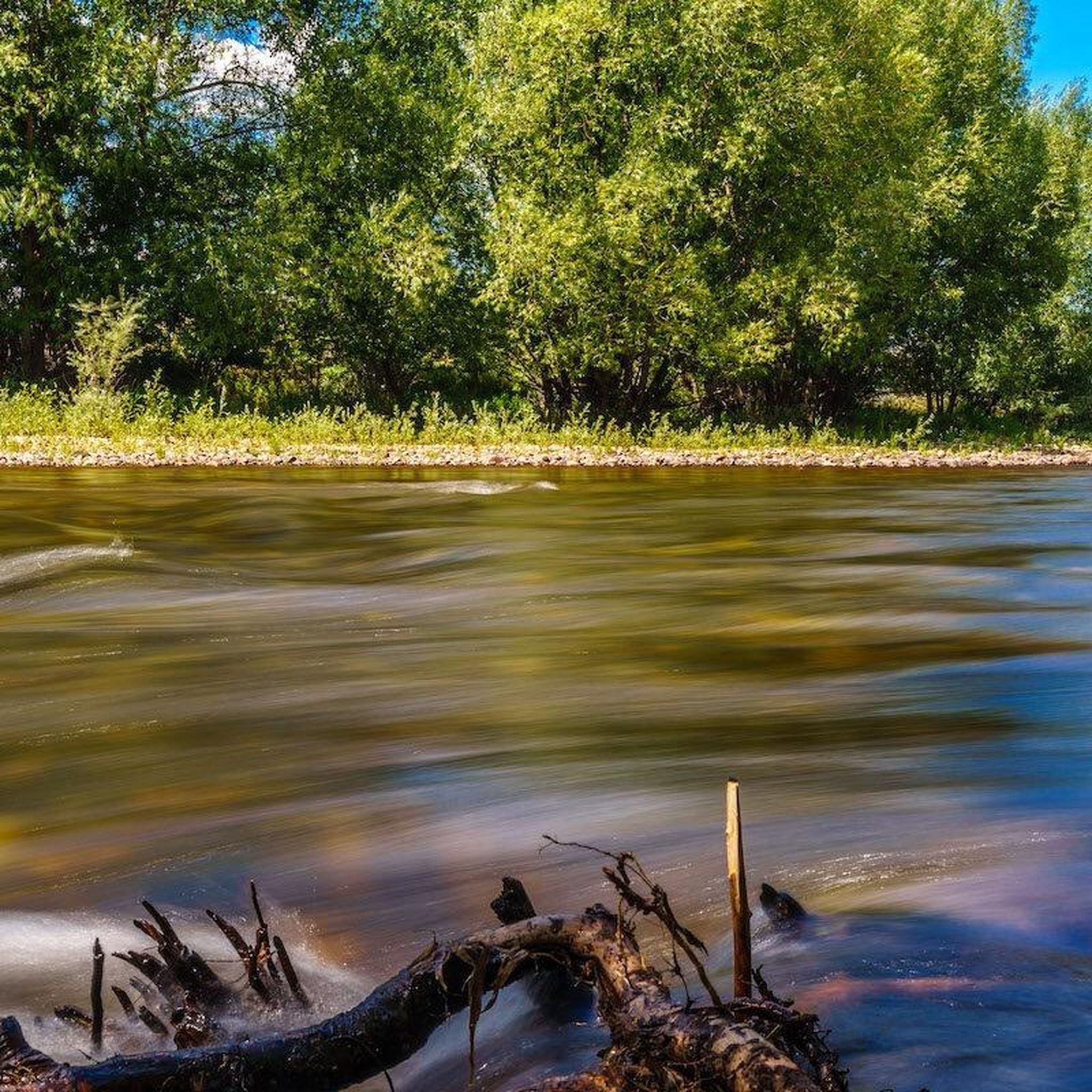
Known locally as 'Poudre', the Cache la Poudre River is a wonderful sight all along the Poudre Trail. The name of the river comes from French-Canadians, who hid their store of gunpowder close to the waterway during a blizzard. Cache la Poudre means 'hide the powder'.
0
0

The Rigden Reservoir is part of the Arapaho Bend Natural Area and is one of multiple little ponds and reservoirs in the area. The reservoir offers a great view of the nearby mountain range and if you are lucky, you can even spot some wildlife such as birds, beavers, and deer.
0
0

The Cache La Poudre River runs 126 miles in length and is Colorado's only nationally designated "Wild & Scenic" river. It starts in Rocky Mountain National Park and ends at the confluence of the South Platte River near Greeley. The river's name in French translates to "cache of powder" and originated from French trappers hiding gunpowder along the river in the 1820s.
0
0
Frequently Asked Questions
How many hiking trails are available around Windsor?
Windsor offers a wide selection of hiking opportunities, with over 35 routes available. These trails cater to various preferences, from easy strolls to more challenging paths, ensuring there's something for every hiker.
What kind of landscapes can I expect to see while hiking in Windsor?
Hiking around Windsor provides access to diverse natural landscapes unique to the region. You can explore rare tallgrass prairies, oak savannas, and Carolinian forests. Many trails also offer scenic waterfront views along the Detroit River and close to Lake Erie, showcasing a rich variety of flora and fauna.
Are there any family-friendly hiking options in Windsor?
Yes, Windsor has many easy trails suitable for families. For instance, the Windsor Lake Loop Trail is an easy 3.8 km path that takes about an hour, perfect for a family outing. The Ojibway Prairie Complex also offers over 15 kilometers of accessible trails through unique prairie habitats, ideal for nature walks with children.
Can I bring my dog on the hiking trails in Windsor?
Many trails in Windsor are dog-friendly, but it's always best to check specific park or conservation area regulations before you go. Generally, trails in natural areas like the Ojibway Prairie Complex or Devonwood Conservation Area welcome leashed dogs, allowing your furry friend to enjoy the outdoors with you.
Are there any circular hiking routes in the Windsor area?
Yes, several circular routes are available. The Windsor Lake Loop Trail is a popular circular option. Another great choice is the Arapaho Bend Natural Area loop — East Harmony Road, which offers a 6.8 km loop through a natural area, ideal for wildlife observation.
What are some notable landmarks or attractions I can see along the hiking trails?
While hiking in Windsor, you can encounter several natural attractions. The Poudre River Trail: Windsor – River Bluffs Open Space follows the scenic Cache La Poudre River. Other highlights include the Prospect Ponds Natural Area and views of Boyd Lake. The region is also home to unique ecosystems like the tallgrass prairies of the Ojibway Prairie Complex.
What is the best time of year to go hiking in Windsor?
Windsor, being Canada's southernmost city, enjoys a mild climate, offering a longer outdoor season. The best time for hiking typically extends from late March through late November. This period allows you to experience the diverse ecosystems, from spring blooms to vibrant fall foliage, without the harshness of winter.
Are there trails with good views in Windsor?
Yes, Windsor offers several trails with picturesque views. The Windsor Waterfront Trail provides stunning views of the Detroit River, where you can watch freighters pass by. Malden Park, featuring the highest hill in Essex County, also offers elevated perspectives of the surrounding area and naturalized landscapes.
How accessible are Windsor's hiking trails by public transport?
While some urban trails like parts of the Windsor Waterfront Trail are accessible via local transit, many of the natural conservation areas and parks may require a car to reach. It's advisable to check local transit routes and schedules for specific trailheads if you plan to use public transport.
Where can I find parking for hiking trails in Windsor?
Most major conservation areas and parks in and around Windsor, such as the Ojibway Prairie Complex, Devonwood Conservation Area, and Malden Park, offer dedicated parking facilities for visitors. For urban trails like the Windsor Waterfront Trail, street parking or nearby public lots are usually available.
What do other hikers enjoy most about hiking in Windsor?
The hiking trails in Windsor are highly rated by the komoot community, with an average score of 5.0 stars from 5 reviews. Hikers often praise the region's diverse natural landscapes, including the unique tallgrass prairies and Carolinian forests, as well as the well-maintained paths and opportunities for wildlife observation.
Are there hiking options for different difficulty levels in Windsor?
Absolutely. Windsor's trail network includes options for all abilities. You'll find 32 easy routes perfect for a leisurely walk, 4 moderate trails for a bit more challenge, and even 1 difficult route for experienced hikers seeking a longer adventure, such as the Great Western Trail: Windsor to Eaton.
What unique natural features should I look out for on Windsor's trails?
Windsor is known for its unique ecosystems. Keep an eye out for rare tallgrass prairies and oak savannas, which are distinct from many other parts of Canada. The Carolinian forests, found in areas like Devonwood Conservation Area and Kopegaron Woods, host diverse tree species such as Tulip-tree, Sassafras, and Black Gum, along with a rich variety of wildflowers and wildlife.
Most popular attractions around Windsor

Get inspired with the komoot mobile app


Explore more
Browse the best Hikes in other regions.
