The best running trails around Heiligensee
4.4
(1512)
18,983
runners
657
runs
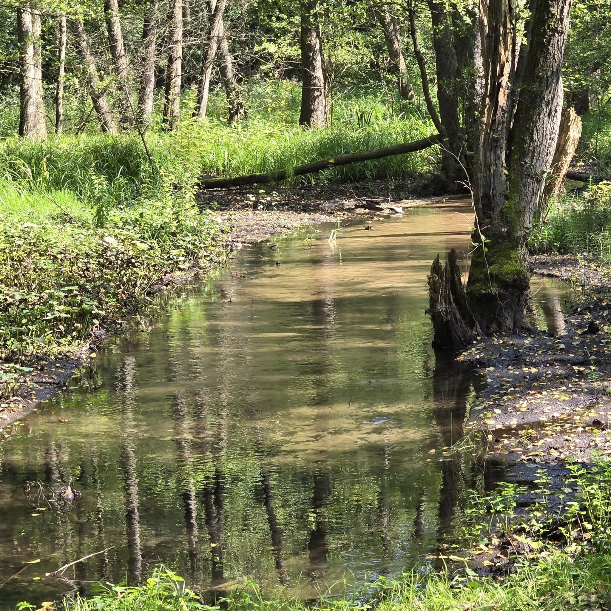
Jogging routes around Heiligensee offer diverse natural environments in the northwestern outskirts of Berlin. The region features the Heiligensee nature reserve and the Havel River, providing tranquil settings for running. To the south, the Baumberge dune landscape presents unique terrain with mixed forest, dry grassland, and heath, reaching elevations of around 60 meters. This varied landscape makes it suitable for different running preferences.
Best jogging routes around Heiligensee
- The most popular jogging route is Tegelort Ferry Dock – Havel Riverside Path loop from Heiligensee, a 5.1 miles (8.3 km) trail that takes about 51 minutes to complete. This route follows the Havel Riverside Path, offering views along the water.
- Another top favourite among local runners is DLRG Lifeguard Station loop from Heiligensee, a moderate 4.3 miles (6.9 km) path. This route circles near the DLRG Lifeguard Station, providing a scenic loop around parts of Heiligensee.
- Local runners also love the DLRG Lifeguard Station – Boathouse on the Havel loop from Nieder Neuendorf, a 3.8 miles (6.1 km) trail leading through riverside areas near the Boathouse on the Havel, often completed in about 38 minutes.
- Jogging around Heiligensee is defined by the tranquil Heiligensee nature reserve, paths along the Havel River, and the unique Baumberge dune landscape. The network offers options for easy, moderate, and more challenging running experiences.
- The routes in Heiligensee are highly rated by the komoot community with an average score of 4.4 stars from over 1,200 reviews. More than 16,000 runners have used komoot to explore Heiligensee's varied terrain.
Last updated: June 26, 2026
6
runners
Moderate run. Good fitness required. Mostly paved surfaces. Suitable for all skill levels.
4.9
(8)
84
runners
Moderate run. Good fitness required. Mostly paved surfaces. Suitable for all skill levels.

Sign up for free
3.5
(4)
52
runners
7.61km
00:47
20m
20m
Moderate run. Good fitness required. Mostly paved surfaces. Suitable for all skill levels.
4.0
(1)
37
runners
Moderate run. Good fitness required. Mostly paved surfaces. Suitable for all skill levels.
5.0
(2)
40
runners
Moderate run. Good fitness required. Mostly paved surfaces. Suitable for all skill levels.
Get access to more routes and recommendations from other explorers.
Sign up for free
Already have an account?
Our route recommendations are based on thousands of hikes, rides, and runs completed by other people on komoot.
Start today with a free account
Your next adventure awaits.
Login or Signup
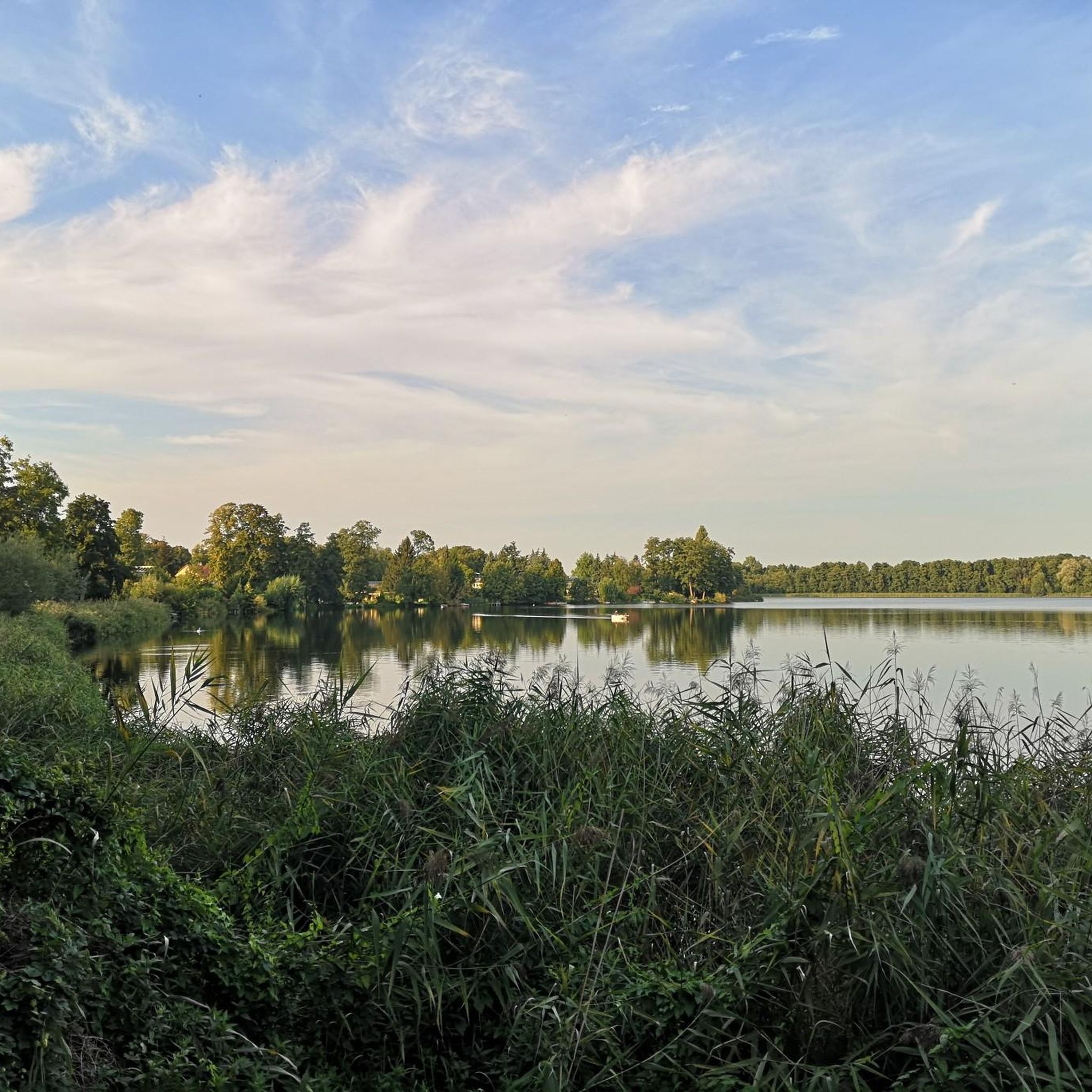
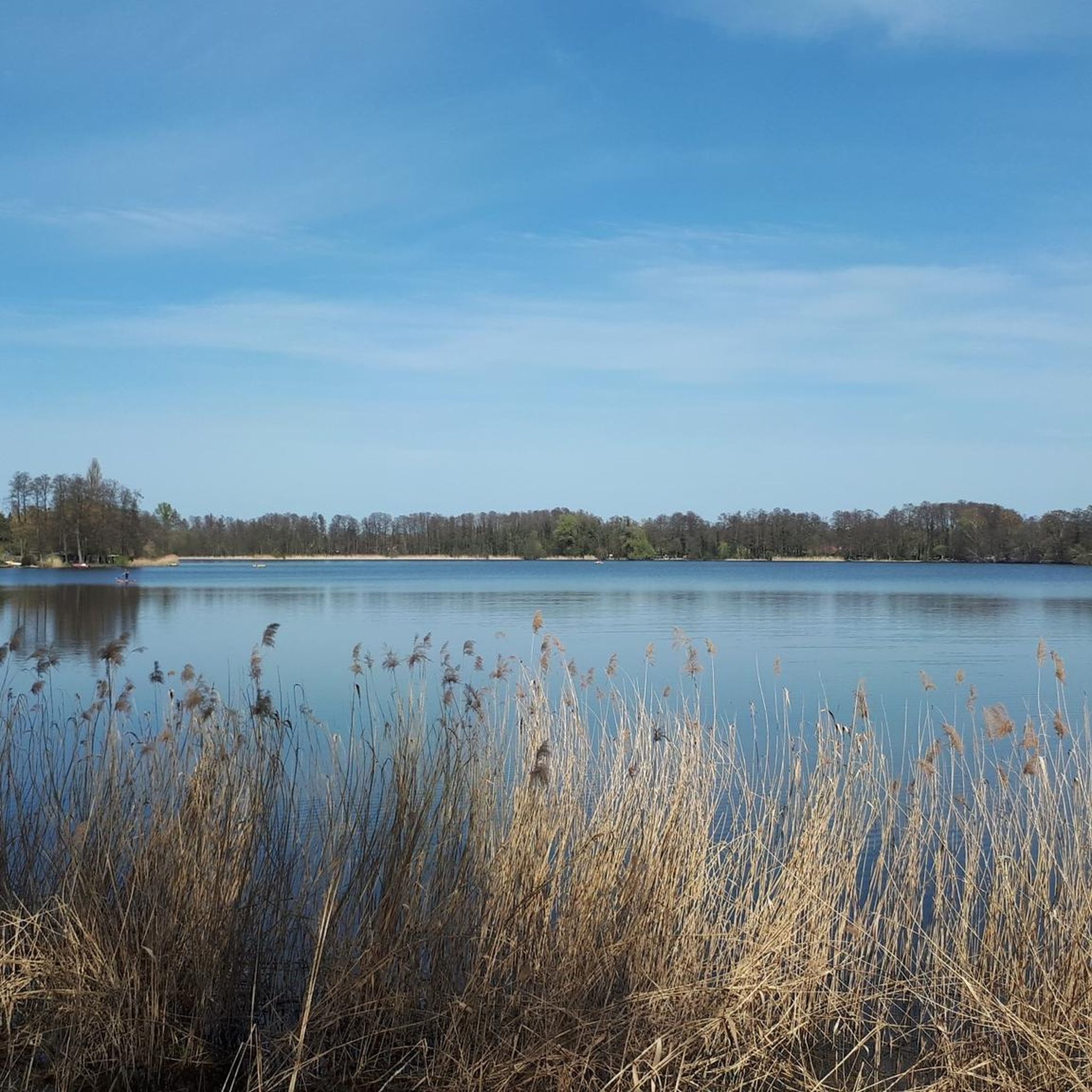
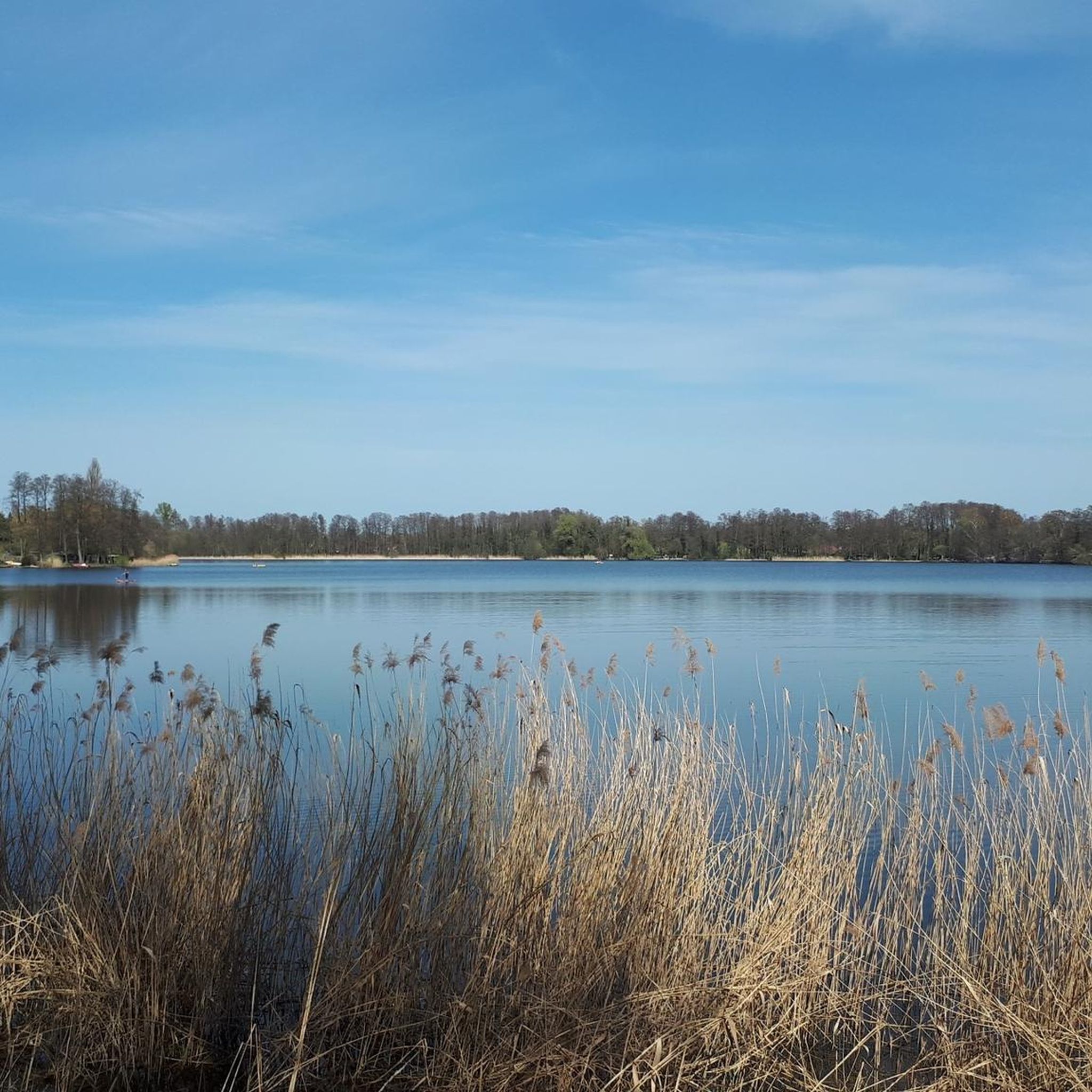
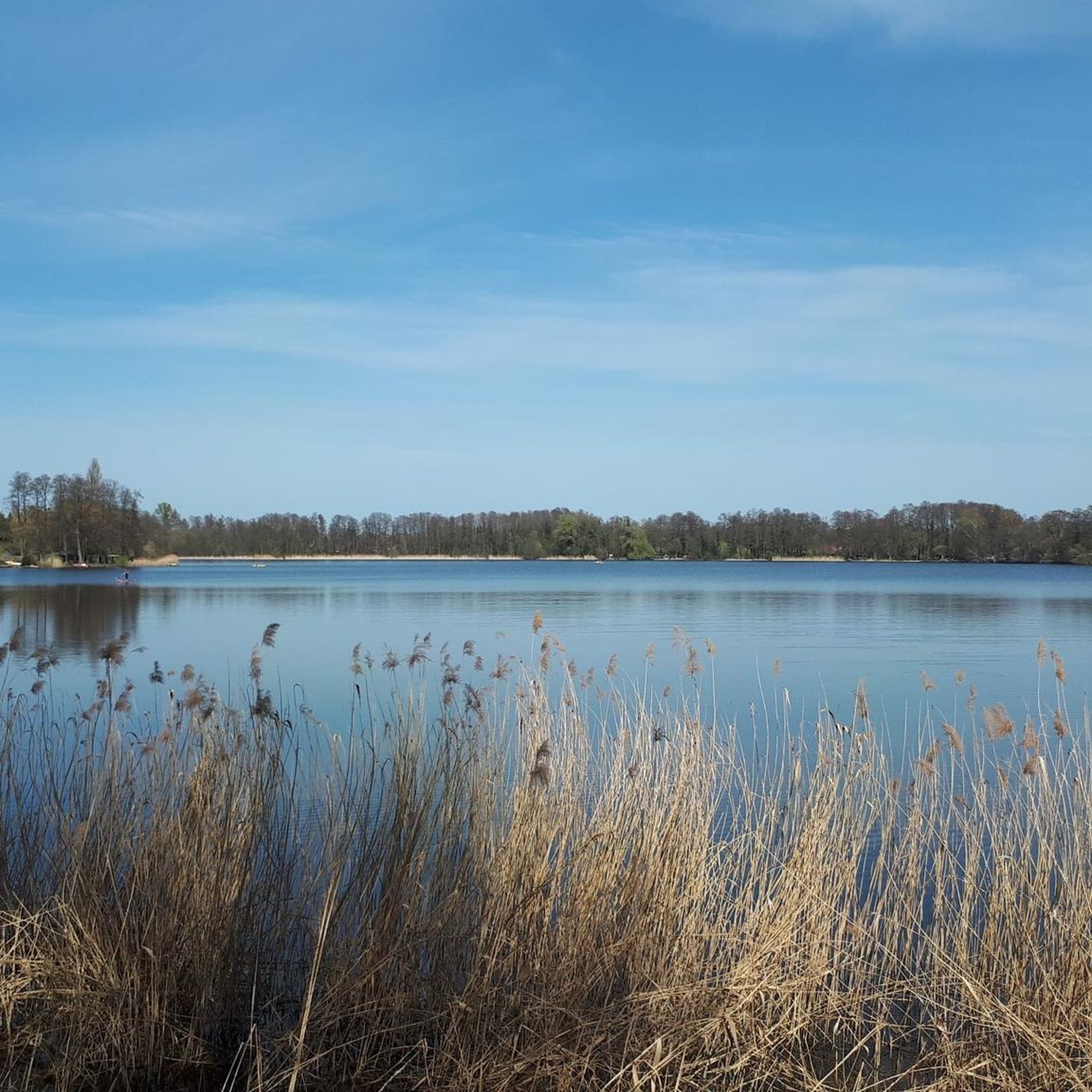
Tips from the Community

The ferry runs on demand, approximately every 10 minutes. The ticket for an adult currently costs €0.80. The price for a car is also very reasonable at just over €2. However, prices are expected to increase starting in October. I was very satisfied with the crossing.
0
0

I can't even remember that anymore
0
0
Renting rafts is not cheap but it was still fun
0
0

Perfect for a short break or to quickly cool your feet while on the go.
0
0


Runs reliably every 10 minutes and is inexpensive (80 cents for pedestrians, 1.10 euros for cyclists)
0
0
Drives reliably and cost-effectively
0
0

Frequently Asked Questions
How many running routes are available in Heiligensee?
There are over 650 running routes around Heiligensee, offering a wide variety of options for different preferences and fitness levels. The komoot community has explored more than 17,000 of these trails.
What kind of terrain can I expect on the running trails in Heiligensee?
The running trails in Heiligensee offer diverse terrain. You'll find paths through the tranquil Heiligensee nature reserve, along the Havel River, and within the unique Baumberge dune landscape. This includes mixed forest, dry grassland, heath, and areas with fine, light-colored sand, providing varied surfaces for your run.
Are there any easy running routes suitable for beginners in Heiligensee?
Yes, Heiligensee offers several easy running options. Out of the over 650 routes, 67 are classified as easy, making them perfect for beginners or those looking for a relaxed jog. These routes typically feature minimal elevation gain and well-maintained paths.
Are there any circular running routes around Heiligensee?
Yes, many of the running routes in Heiligensee are circular, allowing you to start and finish at the same point. For example, the DLRG Lifeguard Station loop from Heiligensee is a popular moderate 4.3-mile (6.9 km) path that circles parts of the lake, offering scenic views.
What natural features or landmarks can I see while jogging in Heiligensee?
While jogging in Heiligensee, you can enjoy the serene Heiligensee nature reserve, the scenic Havel River, and the unique Baumberge dune landscape. The lake itself, Heiligensee, offers tranquil views, and a wooden viewing platform on its southern shore provides a pleasant stop. You might also pass by the Heiligensee Village Church on some routes.
Is Heiligensee a good place for dog-friendly running?
Heiligensee's natural environment, with its extensive forests and riverside paths, is generally suitable for running with dogs. The tranquil nature reserve and the Baumberge dune landscape offer plenty of space. Always ensure your dog is on a leash where required and respect local regulations, especially in protected areas.
What is the best time of year to go jogging in Heiligensee?
Heiligensee is enjoyable for jogging year-round. Spring and autumn offer pleasant temperatures and beautiful foliage. Summer is great for combining a run with a dip in the lake at the lido, while winter can provide a peaceful, crisp running experience, especially through the Tegel Forest, though some paths might be icy or muddy.
Are there running routes near cafes or places to get refreshments in Heiligensee?
Yes, some running routes in Heiligensee pass near areas with amenities. For instance, the longer Tavern at the Old Fritz loop from Heiligensee suggests proximity to places where you might find refreshments. The general area around Heiligensee, being part of Berlin, has various cafes and eateries, especially closer to the village center.
How accessible are the running trails in Heiligensee by public transport?
Heiligensee is located in the northwestern outskirts of Berlin and is generally accessible by public transport. You can typically reach the area via bus connections from S-Bahn or U-Bahn stations, making it convenient to get to the starting points of many running paths without a car.
What do other runners enjoy most about jogging in Heiligensee?
The komoot community highly rates the running experience in Heiligensee, with an average score of 4.4 stars from over 1,300 reviews. Runners often praise the area's diverse natural environments, the tranquility of the nature reserve, and the scenic paths along the Havel River and through the unique Baumberge dune landscape.
Are there any running routes that follow the Havel River?
Yes, several running routes in Heiligensee incorporate sections along the Havel River. A popular choice is the Tegelort Ferry Dock – Havel Riverside Path loop from Heiligensee, which is an 8.3 km (5.1 miles) trail offering continuous views along the water.
What is the elevation like on the running trails in Heiligensee?
The elevation on Heiligensee's running trails is generally gentle, making most routes accessible. While the Baumberge dune landscape features its highest point around 60 meters, the overall elevation gain on routes like the DLRG Lifeguard Station – Boathouse on the Havel loop from Nieder Neuendorf is moderate, typically around 16-20 meters, providing a good balance without being overly strenuous.
Most popular routes around Heiligensee

Get inspired with the komoot mobile app


Explore more
Browse the best Running Trails & Routes in other regions.
