The best cycling routes around Ward
5.0
(2)
449
riders
15
rides
Touring cycling around Ward, Colorado, offers routes through mountainous terrain characterized by significant elevation changes and scenic canyons. The area features challenging climbs and descents along roads like Lefthand Canyon and Lee Hill. Cyclists can experience high-altitude environments and expansive views typical of the Rocky Mountains.
Best touring cycling routes around Ward
- The most popular touring cycling route is Ward via Lefthand Canyon and Lee Hill, a 37.6 miles (60.5 km) trail that takes 4 hours 20 minutes to…
Last updated: October 1, 2026
5.0
(1)
116
riders
60.5km
04:21
1,260m
1,260m
This challenging touring cycling route, Ward via Lefthand Canyon and Lee Hill, offers a rewarding journey through Boulder's scenic backcountry. You'll climb through peaceful forested sections of Lefthand Canyon, often…
77
riders
53.2km
03:46
1,100m
1,100m
The Ward via Lefthand Canyon route offers a classic Boulder touring cycling experience, winding through peaceful, forested surroundings and delivering increasingly impressive views of the snow-capped Indian Peaks as you…

14
riders
75.4km
05:55
1,540m
1,540m
Embark on a difficult touring bicycle adventure with the Gold Hill and Ward loop, covering 46.8 miles (75.4 km) and climbing 5049 feet (1539 metres) over an estimated 5 hours…
77
riders
51.9km
03:40
1,080m
1,080m
Hard bike ride. Very good fitness required. Mostly paved surfaces. Suitable for all skill levels.
28
riders
106km
07:17
1,900m
1,900m
Hard bike ride. Very good fitness required. Mostly paved surfaces. Suitable for all skill levels.
Get access to more routes and recommendations from other explorers.
Already have an account?
Our route recommendations are based on thousands of hikes, rides, and runs completed by other people on komoot.
Start today with a free account
Your next adventure awaits.

Tips from the Community

Steep. Bring your gears. Wonderful views. Ride it early during the week
0
0

You can easily walk along the river from the city towards Red Rocks.
0
0

The trail is paved and crosses the creek here between Eben Park and the Boulder Creek trail. You can also use this as a great trailhead from which to access the mountains and canyons just west of here.
0
0

The Lefthand Trailhead is the main access point for a popular system of mountain biking trails on the eastern end of Lefthand Canyon. More of a large pullout than a true trailhead with a parking lot, there are no bathrooms, picnic area, or water stations here. There are restroom facilities just a little down the road east of here at Buckingham Park if you need them.
0
0
Sunshine Canyon is a popular ride that that takes you straight from downtown Boulder up into the foothills past popular hikes like Mount Sanitas and Lions Lair. This upper section of Sunshine Canyon is gravel, but it is generally well-graded, and hard packed; it is frequently completed by local cyclists on road bikes. The only place where the gravel can be a little looser and chunkier is toward the top of the canyon by Gold Hill, so be aware when ascending or descending.
1
0
Lee Hill Drive is a popular, challenging climb that connects the intersection of Lee Hill with Olde Stage just outside of North Boulder, and Lefthand Canyon. The backside of Lee Hill (the Lefthand Canyon side) is a little nicer for climbing because there is less traffic than on the the Boulder side where there is no shoulder on a series of initial switchbacks. Regardless of which way you go up Lee Hill, coming down the 1,400 foot climb is a real treat after the challenging journey up!
0
0
Gold Hill Road is a very popular, non-technical gravel road that connects the Peak to Peak Highway to Gold Hill, a tiny "Ghost Town" at the top of Sunshine Canyon west of downtown Boulder. Be sure to stop at the amazing Gold Hill Store for a mid-ride snack!
0
0
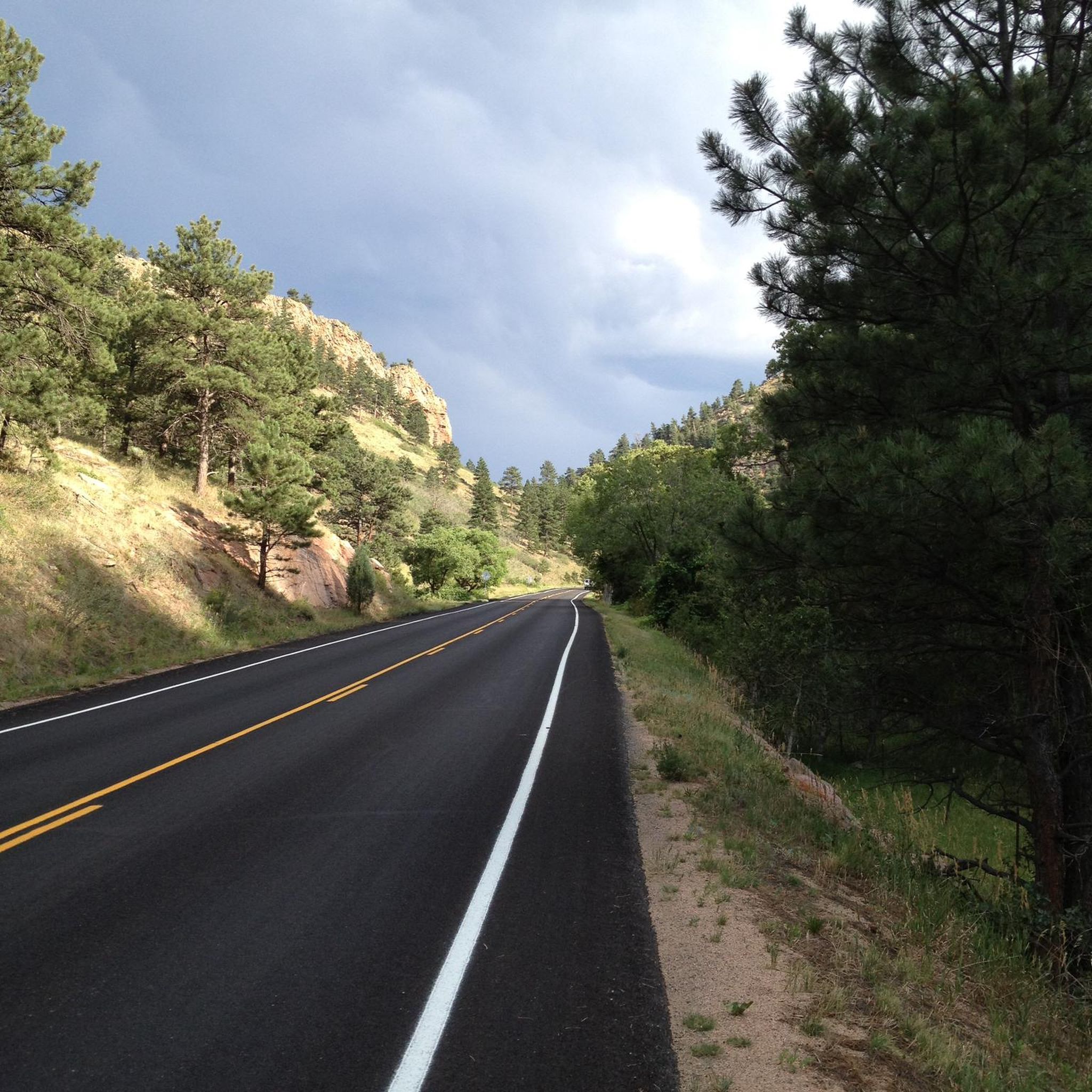
This section of the popular Lefthand Canyon is a long, but scenic climb with increasingly good views of the often-snowcapped Indian Peaks the closer you get to Ward. Ward is a tiny mountain town just off the Peak to Peak highway with a cyclist-friendly general store. This section is also super, super fun to fly down, but be aware deer in the road and cars.
1
0
Frequently Asked Questions
What is the general difficulty level of touring cycling routes around Ward?
Touring cycling around Ward is characterized by challenging mountain roads, deep canyons, and high-altitude climbs. The routes primarily cater to experienced cyclists seeking significant elevation gains. Out of 12 available routes, 11 are rated as difficult, with only one easy option.
Are there any easy touring cycling routes suitable for beginners around Ward?
While most routes around Ward are challenging, there is one easy touring cycling route available. This route is ideal for those new to the area or looking for a less strenuous ride.
What are some of the most scenic viewpoints or landmarks I can expect to see on a touring bike ride near Ward?
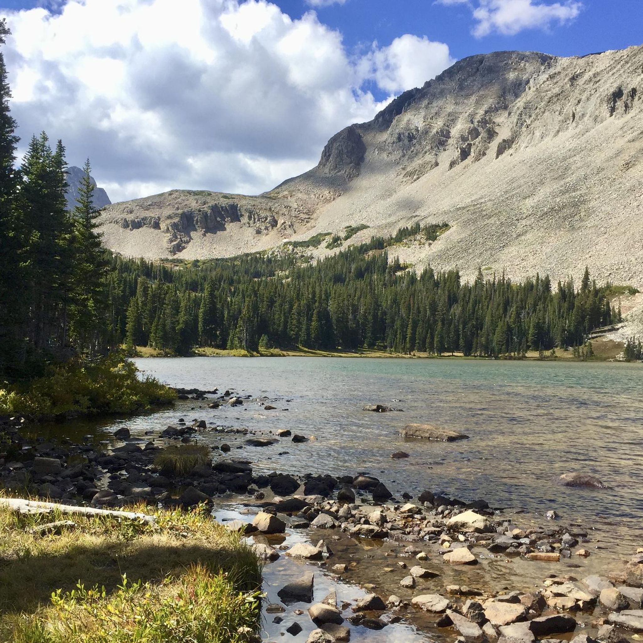
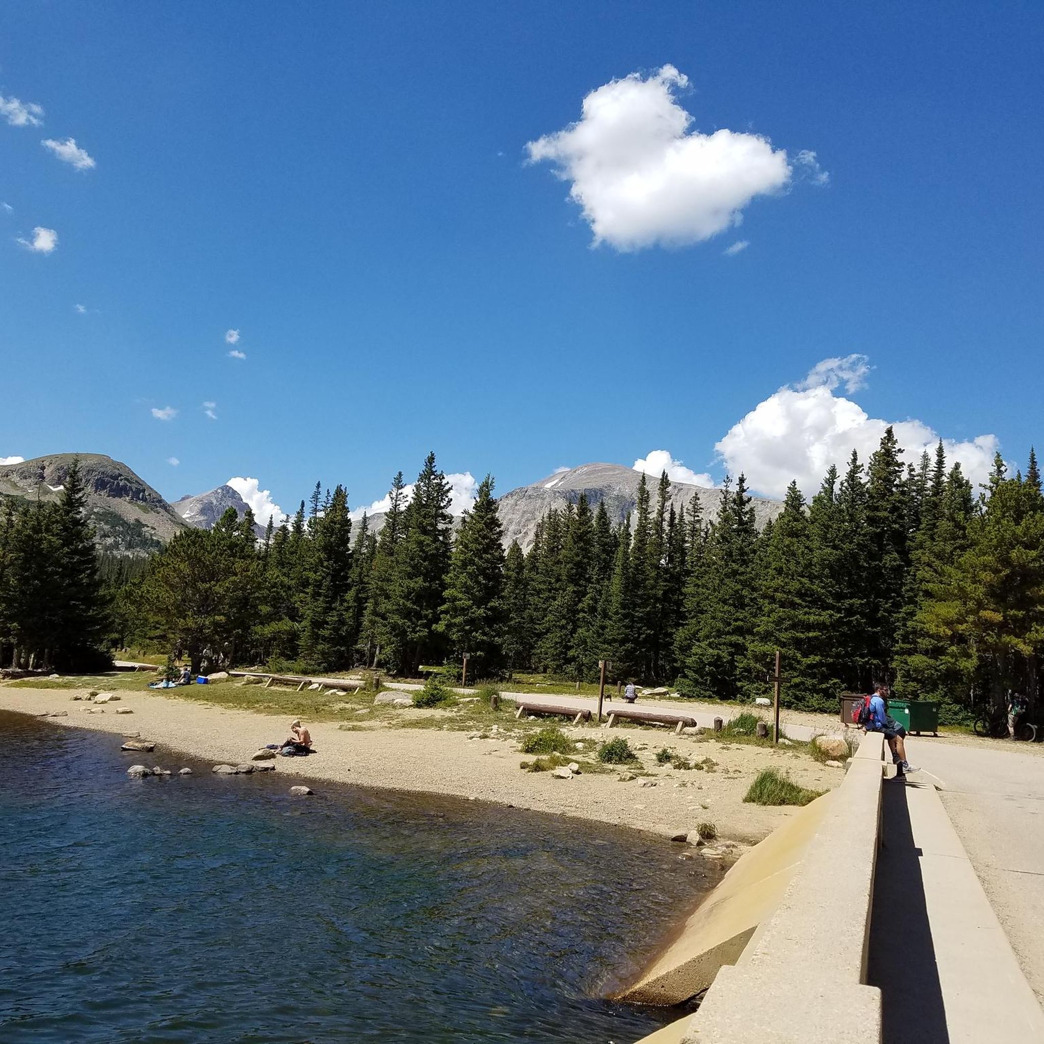
Many routes offer expansive views typical of the Rocky Mountains. You can explore natural monuments and lakes in the vicinity. Notable highlights include Brainard Lake, Isabelle Lake, and Sugarloaf Mountain Summit. These offer stunning natural beauty along your ride.
What is the best time of year for touring cycling around Ward?
Given the high-altitude environment and mountainous terrain, the best time for touring cycling around Ward is typically during the warmer months when roads are clear of snow and ice, and weather conditions are more stable. Always check local weather and trail conditions before heading out.
Are there any circular touring cycling routes around Ward?
Yes, there are several circular routes available. For example, the Gold Hill and Ward loop via Sunshine and Lefthand Canyons is a popular 46.8-mile (75.3 km) option that takes you through multiple scenic canyons.
What kind of elevation gain can I expect on touring cycling routes in Ward?
Touring cycling routes around Ward feature significant elevation changes. For instance, the Ward via Lefthand Canyon and Lee Hill route involves an ascent of nearly 1,260 meters (4,134 feet), while the Boulder Creek Path – Boulder Creek Trail loop from Boulder has over 2,000 meters (6,560 feet) of elevation gain.
What do other touring cyclists enjoy most about cycling in Ward?
The area is highly rated by the komoot community, with an average score of 5.0 stars from 1 review. Reviewers often praise the challenging mountain roads, deep canyons, and the rewarding high-altitude climbs that define the touring cycling experience in Ward.
Are there any specific permits required for biking on trails around Ward?
While many areas are open for public use, some specific trails or recreation areas, especially within national forests or wilderness boundaries, might require permits or have specific regulations. It's always advisable to check with the local land management agencies (e.g., US Forest Service) for the most current information regarding permits for your chosen route.
Where can I find parking or trailheads for touring cycling routes near Ward?
Specific parking and trailhead information can vary by route. Many routes originate from or pass through areas with designated parking. For routes like Wonderland Lake – Lee Hill Drive Climb loop from High Altitude Observatory, the starting point itself indicates a potential parking area. Always consult the individual route details on komoot for precise starting locations and parking suggestions.
Are there any amenities like cafes or accommodation available along the touring cycling routes near Ward?
Ward itself is a small community. For more extensive amenities like cafes, pubs, and accommodation, you might consider nearby towns such as Nederland or Boulder, which are often connected by these touring routes. Some routes, like the Boulder Creek Path – Boulder Creek Trail loop from Boulder, start directly from larger towns with full services.
How long are the touring cycling routes typically around Ward?
The touring cycling routes around Ward vary in length, generally ranging from moderate to long distances. For example, the Ward via Lefthand Canyon route is about 33.1 miles (53.2 km), while the Wonderland Lake – Lee Hill Drive Climb loop from High Altitude Observatory extends to nearly 62 miles (99.8 km).
What should I bring for a touring cycling trip in Ward?
Given the challenging terrain and high-altitude environment, it's essential to be well-prepared. Always carry sufficient water, snacks, repair kits, and appropriate clothing layers for changing mountain weather. A helmet is mandatory, and a GPS device or a fully charged phone with offline maps is highly recommended for navigation.
Most popular routes around Ward
Most popular attractions around Ward

Get inspired with the komoot mobile app


Explore more
Browse the best Cycling routes in other regions.
