The best road cycling routes around Englewood
4.6
(108)
5,898
riders
12
rides
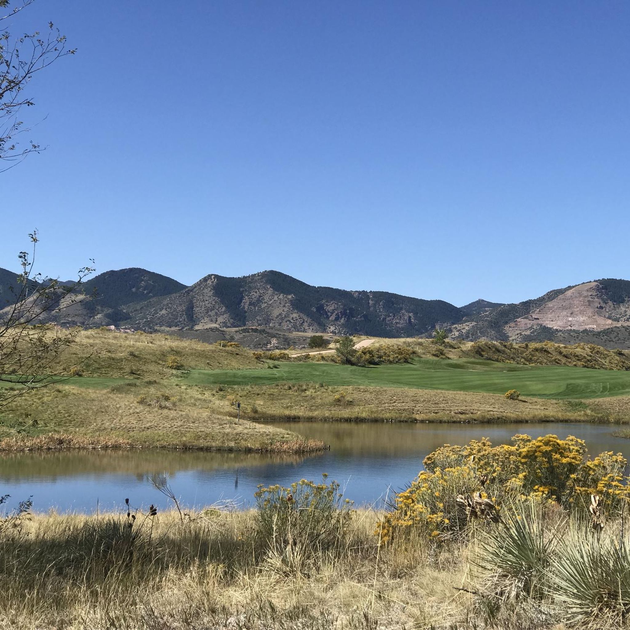
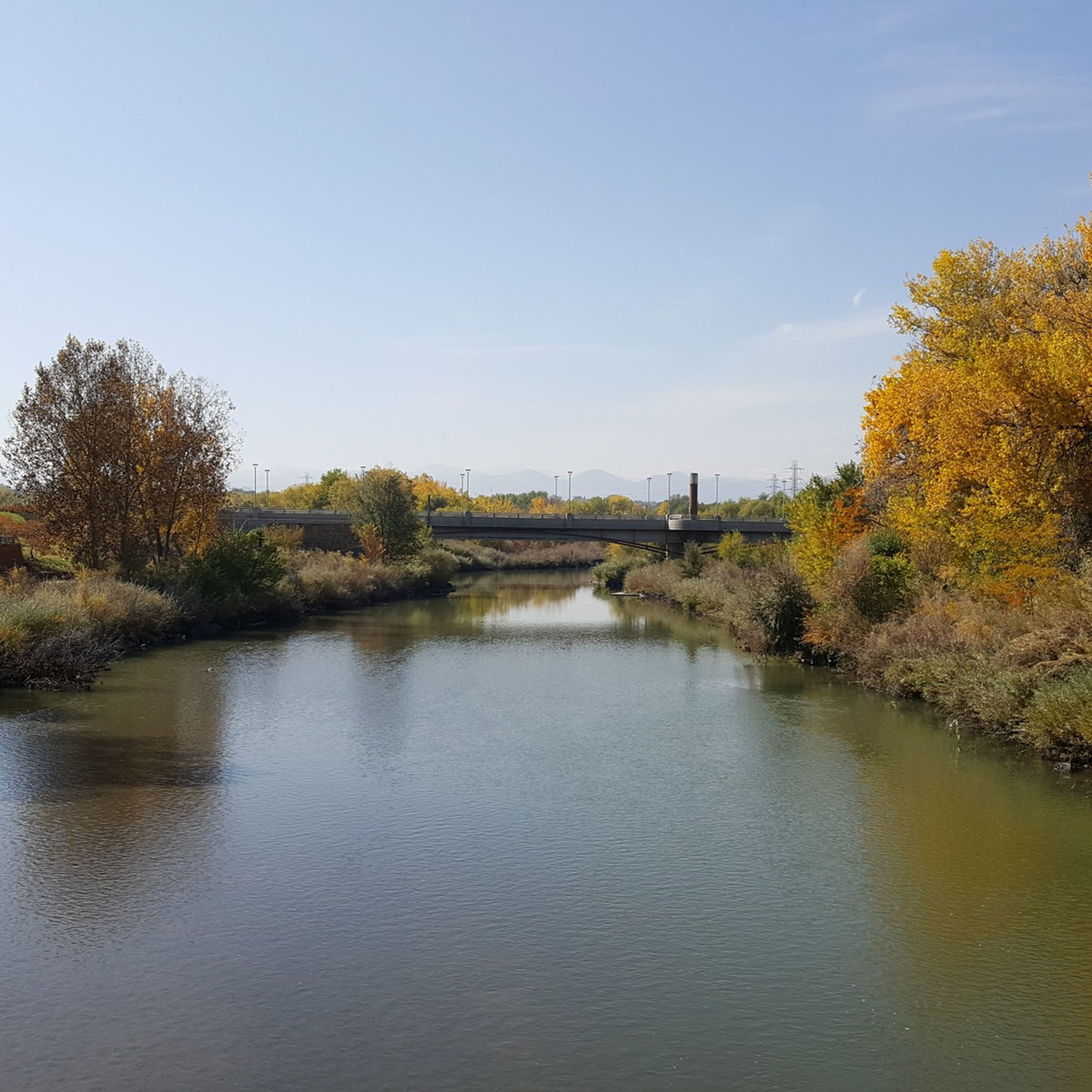
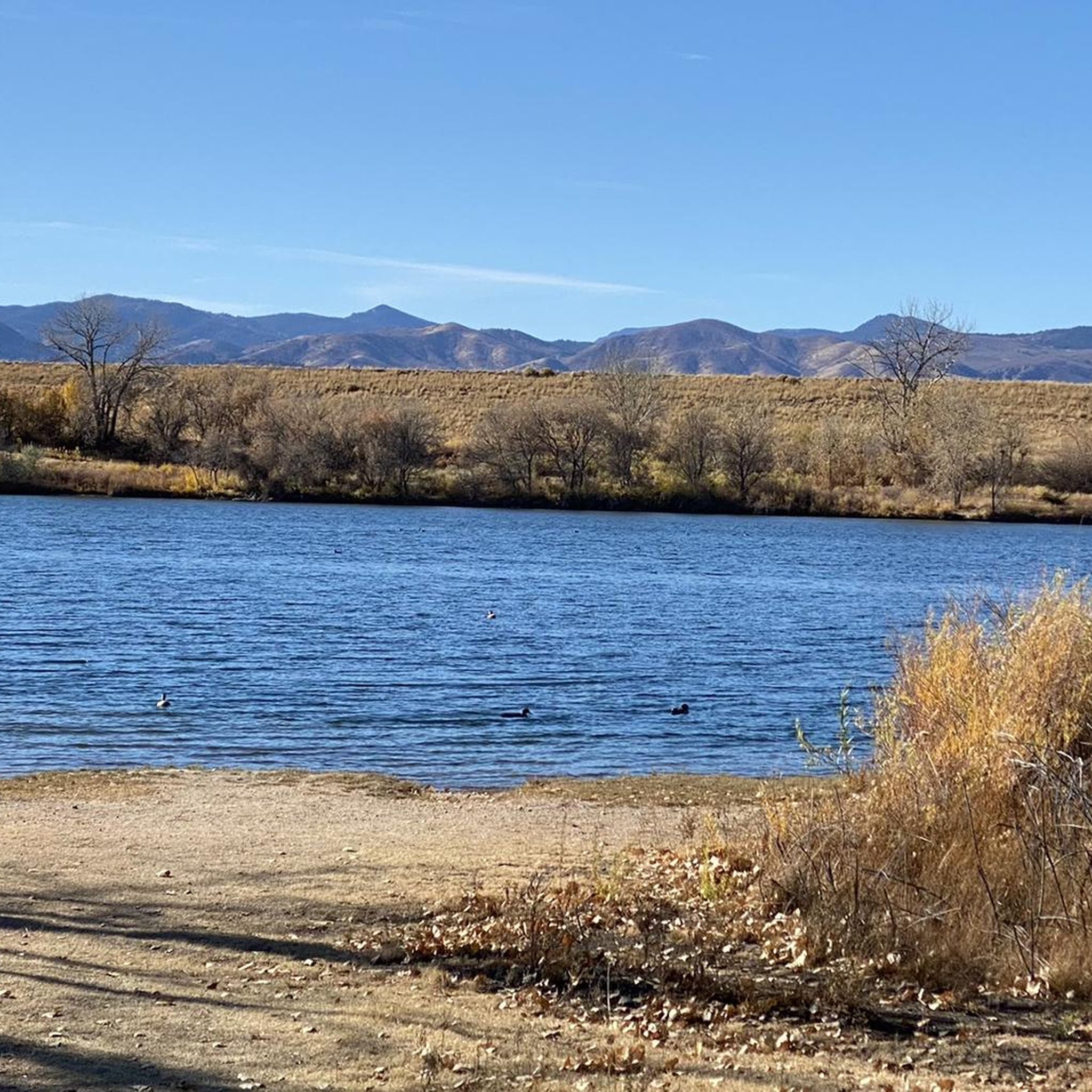
Road cycling routes around Englewood are characterized by urban greenways, river paths, and reservoir loops. The region features relatively flat terrain with some moderate elevation changes, offering varied experiences for road cyclists. These routes often follow established trails alongside waterways and through suburban areas, providing accessible cycling opportunities.
Best road cycling routes around Englewood
- The most popular road cycling route is Bear Creek, C-470 and Mary Carter Greenway Loop, a 31.8 miles (51.2 km) trail that takes 2 hours 47 minutes to complete. This route combines greenway paths with sections along major roads, offering a comprehensive urban cycling experience.
- Another top favourite among local road cyclists is C-470 and Mary Carter Greenway Loop, a moderate 31.5 miles (50.6 km) path. This route features paved surfaces along the C-470 corridor and the scenic Mary Carter Greenway, with some notable elevation gain.
- Local road cyclists also love the Mary Carter Greenway Trail – View from Chatfield Dam loop from Oxford - City of Sheridan, a 38.6 miles (62.2 km) trail leading through river corridors and past reservoirs, often completed in about 3 hours 30 minutes.
- Road cycling around Englewood is defined by urban greenways, river paths, and reservoir views. The network offers options for different ability levels, from easy loops to more challenging routes with significant elevation.
- The routes in Englewood are highly rated by the komoot community with an average score of 4.6 stars from over 55 reviews. More than 3,800 road cyclists have used komoot to explore Englewood's varied terrain.
Last updated: July 21, 2026
4.8
(8)
294
riders
51.2km
02:48
300m
300m
Moderate road ride. Good fitness required. Mostly well-paved surfaces and easy to ride.
4.5
(2)
5
riders
50.6km
02:33
370m
370m
Moderate road ride. Good fitness required. Some segments of this route may be unpaved and difficult to ride.

Sign up for free
5.0
(1)
49
riders
Moderate road ride. Good fitness required. Some segments of this route may be unpaved and difficult to ride.
38
riders
14.6km
00:48
40m
40m
Easy road ride. Great for any fitness level. Mostly well-paved surfaces and easy to ride.
15
riders
Easy road ride. Great for any fitness level. Mostly well-paved surfaces and easy to ride.
Get access to more routes and recommendations from other explorers.
Sign up for free
Already have an account?
Our route recommendations are based on thousands of hikes, rides, and runs completed by other people on komoot.
Start today with a free account
Your next adventure awaits.
Login or Signup

Tips from the Community

Don’t miss the chance to see a SpaceX rocket booster up close. It’s mounted just above the Mary Carter Greenway in Littleton, inside a fenced lot by DISH Network. You can’t go inside, but the view from the bike path is more than enough for a quick, geeky photo stop. The site is open daily from 9 AM to 5 PM.
2
0

This is a large parking lot that is usually only for the high school, but is available for you to park on Thursdays 4-6pm and Sunday 12-2pm, making it a nice spot to leave your car as you ride around the area.
0
0
Washington Park, in Denver, Colorado, is a 155-acre urban park that features two lakes, Smith Lake and Grasmere Lake, and a 2.6-mile jogging and biking loop as well as connecting trails to other major bike paths in the area. There are also open green spaces, and well-maintained flower gardens, including a replica of George Washington’s Mount Vernon garden. Additional facilities include tennis courts, playgrounds, and picnic areas, and the historic boathouse by Smith Lake that serves as a popular venue for events.
0
0

This is the closest most people will ever get to a rocket booster. It is located right next to the bike path. It is in a fenced area with locked gate. I don't know what the opening hours are. Maybe someone else can post those hours to this highlight when they visit it. https://en.m.wikipedia.org/wiki/List_of_Falcon_9_first-stage_boosters#Booster_1021
0
0
Washington Park, in Denver, Colorado, is a 155-acre urban park that features two lakes, Smith Lake and Grasmere Lake, and a 2.6-mile jogging and biking loop as well as connecting trails to other major bike paths in the area. There are also open green spaces, and well-maintained flower gardens, including a replica of George Washington’s Mount Vernon garden. Additional facilities include tennis courts, playgrounds, and picnic areas, and the historic boathouse by Smith Lake that serves as a popular venue for events.
1
0

Great stop on the Platte River Trail, good coffer, place to sit and relx
1
0

This point marks the intersection and trailhead for the Lee Gulch Trail and the Mary Carter Trail. This major trail junction is along the shores of the South Platte River and is a great resting spot or a spot to visit with the family.
0
0

The South Platte River is one of the two main tributaries of the Platte River. The river starts in South Park and ends when it joins the North Platte River south of Ogallala, Nebraska.
0
0
Frequently Asked Questions
How many road cycling routes are available around Englewood?
There are over 10 road cycling routes around Englewood, offering a variety of experiences. These routes are highly rated by the komoot community, with an average score of 4.6 stars from over 55 reviews.
What is the general difficulty level of road cycling routes in Englewood?
Englewood offers a range of road cycling routes suitable for different abilities. You'll find 4 easy routes, 7 moderate routes, and 1 more challenging route, ensuring options for beginners to experienced cyclists.
Are there any routes with significant elevation gain for a more challenging ride?
Yes, several routes around Englewood feature notable elevation changes. For example, the Mary Carter Greenway Trail – View from Chatfield Dam loop from Oxford - City of Sheridan includes over 450 meters of elevation gain, providing a more demanding experience.
What kind of landscapes can I expect to see while road cycling in Englewood?
Road cycling routes around Englewood are characterized by urban greenways, scenic river paths, and reservoir loops. You'll often find yourself cycling alongside waterways and through suburban areas, with views of natural preserves and open spaces.
Are there any family-friendly road cycling routes in Englewood?
Yes, Englewood offers several easy routes that are great for families. The Nixon's Coffee House loop from Oxford - City of Sheridan is an easy option, covering about 14.8 kilometers with minimal elevation, perfect for a relaxed family ride.
What are some notable landmarks or attractions along the road cycling routes?
Many routes pass by or near interesting landmarks. You can explore areas close to South Platte Reservoir, the Chatfield Dam Trail, and the Marjorie Perry Nature Preserve. Further afield, you might find yourself near city attractions like Union Station Denver or Mile High Stadium.
Are there any long-distance road cycling routes in the Englewood area?
For longer rides, routes like the Mary Carter Greenway Trail – View from Chatfield Dam loop from Oxford - City of Sheridan offer a substantial distance of over 62 kilometers. The Bear Creek, C-470 and Mary Carter Greenway Loop is also a great option at over 51 kilometers.
Are there circular road cycling routes available?
Yes, many of the road cycling routes around Englewood are designed as loops, allowing you to start and end at the same point. Examples include the Bear Creek, C-470 and Mary Carter Greenway Loop and the C-470 and Mary Carter Greenway Loop.
What do other road cyclists enjoy most about the routes in Englewood?
The komoot community highly rates the road cycling in Englewood, with an average of 4.6 stars. Cyclists often praise the well-maintained greenway paths, the scenic river corridors, and the varied terrain that offers both easy and challenging options.
Where can I find parking for road cycling trails in Englewood?
Many routes in Englewood are accessible from various points, often with parking available near trailheads or in adjacent parks. For example, areas around the South Platte River and Chatfield Dam typically offer parking facilities. You might also find parking near The Grove at Commons Park or Cherry Creek State Park South Entrance.
Are there any routes that offer views of lakes or reservoirs?
Absolutely. The South Platte Reservoir – South Platte River loop from Oxford - City of Sheridan provides excellent views of the South Platte Reservoir. Other routes may offer glimpses of water features along the river corridors.
Most popular attractions around Englewood

Get inspired with the komoot mobile app


Explore more
Browse the best Road cycling routes in other regions.
