The best cycling routes around Berkley
4.6
(701)
2,996
riders
162
rides
Touring cycling around Berkley features a network of routes primarily following river corridors and connecting various reservoirs and parklands. The terrain is generally flat to gently rolling, with minimal elevation gain, making it suitable for a wide range of cyclists. Routes often trace the South Platte River and Clear Creek, providing accessible paths through urban and suburban landscapes. This area offers opportunities for extended rides along waterways and around natural open spaces.
Best touring cycling routes around Berkley
- The most…
Last updated: October 10, 2026
4.2
(5)
61
riders
Moderate bike ride. Good fitness required. Mostly paved surfaces. Suitable for all skill levels.
4.7
(15)
47
riders
Easy bike ride. Great for any fitness level. Mostly paved surfaces. Suitable for all skill levels.

4.5
(2)
22
riders
Hard bike ride. Very good fitness required. Mostly paved surfaces. Suitable for all skill levels.
4.5
(2)
10
riders
43.9km
02:34
220m
220m
Moderate bike ride. Good fitness required. Mostly paved surfaces. Suitable for all skill levels.
14
riders
35.8km
02:11
280m
280m
Moderate bike ride. Good fitness required. Mostly paved surfaces. Suitable for all skill levels.
Get access to more routes and recommendations from other explorers.
Already have an account?
Our route recommendations are based on thousands of hikes, rides, and runs completed by other people on komoot.
Start today with a free account
Your next adventure awaits.


Tips from the Community

One of the best IPA breweries in Colorado, up there with Outer Range, Cannonball and Westbound & Down. They also have a nice selection of not so hoppy beers, are located just off the Clear Creek Bike Trail, stop by if you need to rehydrate or take a break!
0
0

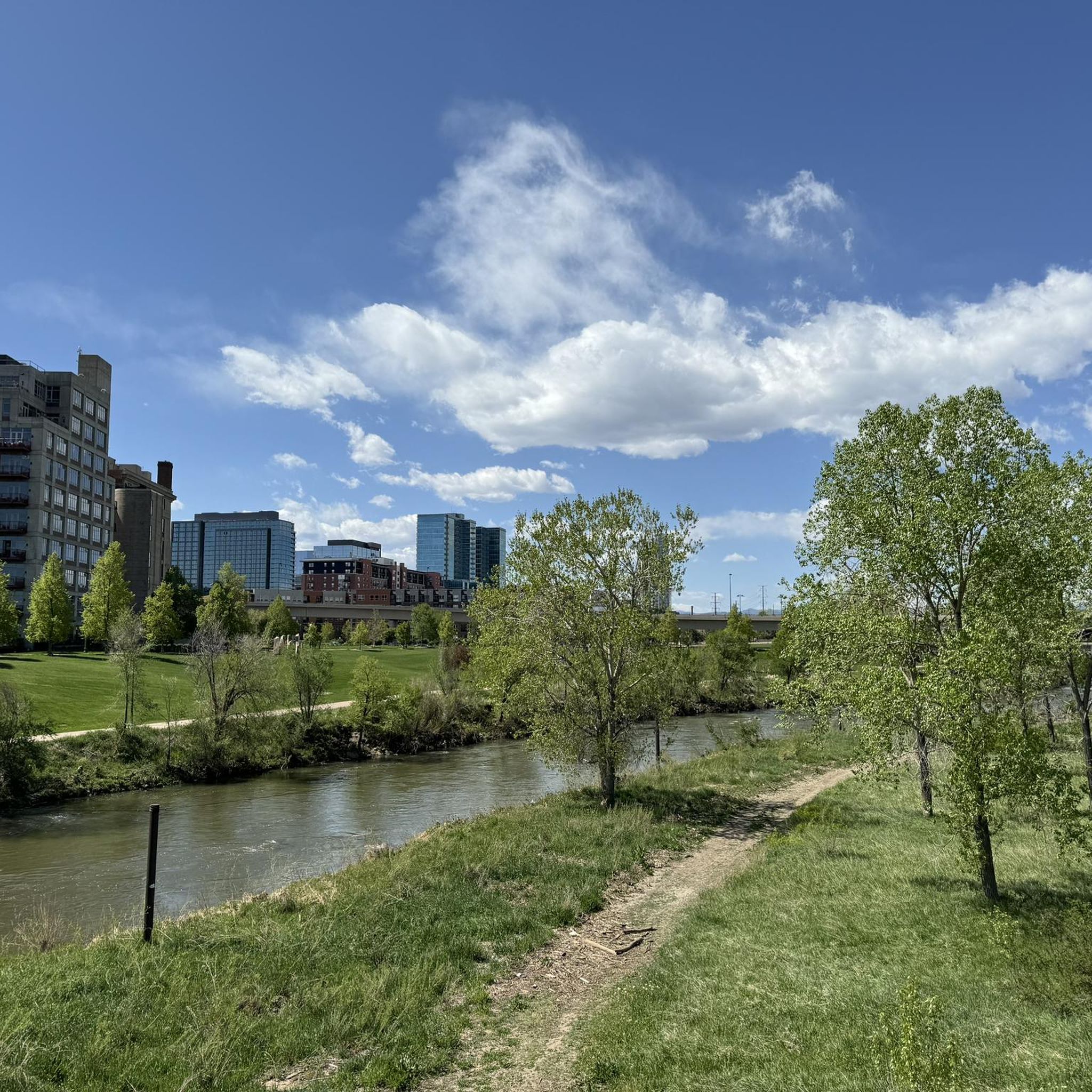
The Clear Creek Trail is a long path that is a mixture of dirt, gravel, and pavement (though the majority is paved). Cyclists, runners, and walkers use the trail, which connects to a few different city parks and other trails.
0
0

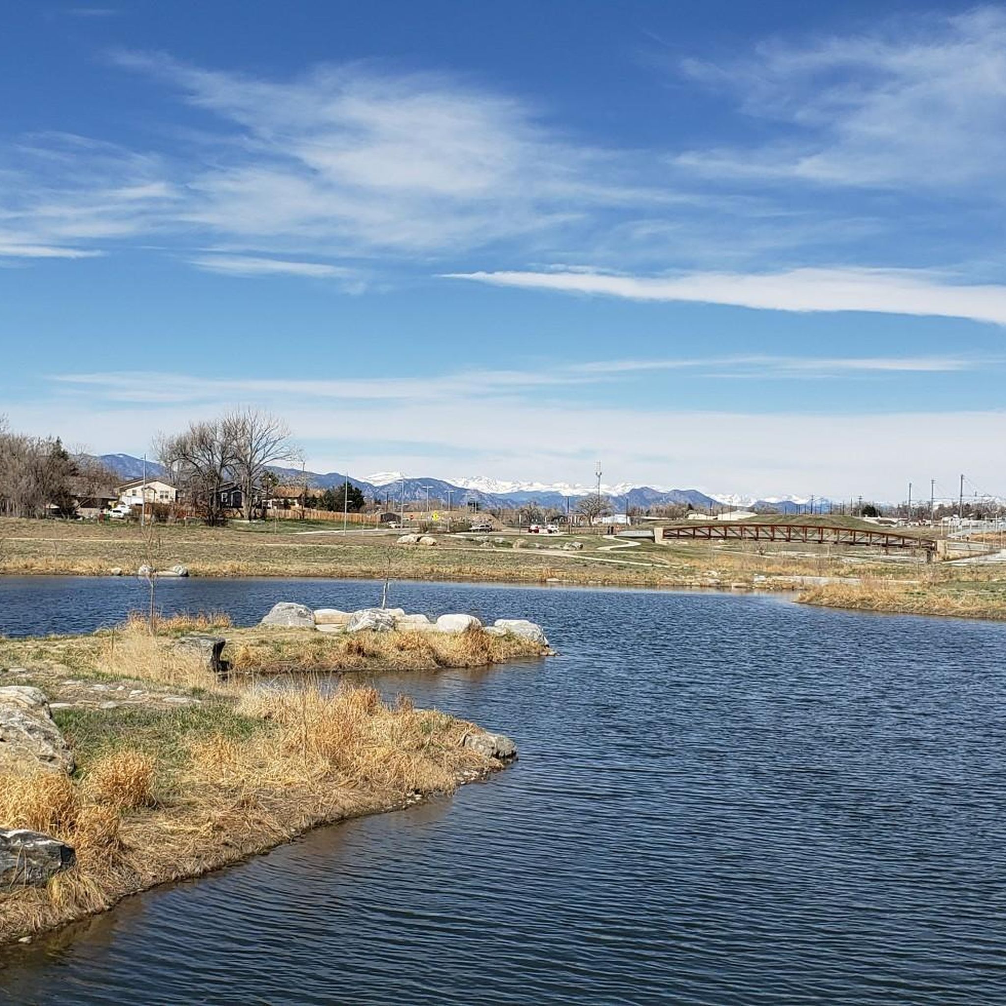
The Lowell Ponds Wildlife Area in northwest Denver encompasses approximately 43 acres of warm-water ponds and riparian habitats. These ponds are home to species such as largemouth bass, smallmouth bass, channel catfish, bluegill, crappie, and bullhead catfish. Boating is prohibited to protect the habitat. In addition to fishing, Lowell Ponds is a nice spot for picnicking, hiking, and wildlife viewing. The site known for birdwatching, especially during migration periods when the ponds attract various waterfowl species.
0
0

Love this ride it’s next to my barbershop In Lodo @ Fadez on Blake st
0
0

The US36 Bikeway is a well-maintained route connecting Boulder and Denver. This is a wide section of the path going under Sheridan Boulevard Bridge.
0
0

Explore the beauty of the Marjorie Perry Nature Preserve, with soft-surface trails winding through diverse habitats like grasslands, wetlands, and wooded areas. The preserve has views of the Rocky Mountains and opportunities for birdwatching and other wildlife viewing. To protect the ecosystem, visitors must stay on designated trails.
2
0

This 59-acre preserve located along the High Line Canal is a great place for bird and wildlife watching and a scenic setting to run in.
0
0
Empower Field at Mile High, often called Mile High Stadium, is Denver’s iconic sports venue and home to the NFL’s Denver Broncos. Located near downtown, the stadium sits 5,280 feet above sea level, giving it its name. Opened in 2001, it replaced the original Mile High Stadium and can accommodate over 76,000 fans. The stadium hosts football games, concerts, and other large-scale events and features panoramic views of Denver and the Rocky Mountains. Outside, the "Bucky the Bronco" statue symbolizes the team and its history.
1
0
Frequently Asked Questions
How many touring cycling routes are available around Berkley?
There are over 150 touring cycling routes in the Berkley area, offering a wide variety of options for cyclists. The komoot community has explored these routes over 3000 times, highlighting the region's popularity for cycling.
What is the overall difficulty level of touring cycling routes in Berkley?
The majority of touring cycling routes around Berkley are considered easy to moderate. There are 93 easy routes, 53 moderate routes, and 10 more challenging routes, ensuring options for all skill levels.
Are there easy touring cycling routes suitable for beginners or families in Berkley?
Yes, Berkley offers many easy routes perfect for beginners or family outings. A great option is the Clear Creek Trail Bridge – Clear Creek Trail loop from 60th & Sheridan - Arvada Gold Strike, which is 16.0 miles long and navigates along Clear Creek, providing a scenic and accessible ride.
Are there longer touring cycling routes for more experienced riders?
For those seeking longer rides, the Berkley area has several options. The Big Dry Creek – Westminster Station Pond loop from Westminster is a moderate 27.8-mile (44.8 km) route, offering an extended cycling experience through varied landscapes.
What kind of scenery can I expect on touring cycling routes in Berkley?
Touring cycling routes in Berkley primarily follow river corridors like the South Platte River and Clear Creek, offering continuous riverside views. Many routes also feature reservoir and lake views, such as the View of the Arvada Blunn Reservoir – Tucker Lake View loop from 60th & Sheridan - Arvada Gold Strike. You'll often find accessible paths through urban and suburban landscapes, interspersed with natural open spaces.
Are there any interesting landmarks or attractions along the cycling routes?
Yes, several routes pass by or are near notable attractions. You might encounter places like Union Station Denver or Mile High Stadium. For natural beauty, routes often feature lakes such as Standley Lake or Lowell Ponds Wildlife Area.
What do other touring cyclists enjoy the most about cycling in Berkley?
The touring cycling routes in Berkley are highly rated by the komoot community, with an average score of 4.6 stars from over 600 reviews. Cyclists often praise the well-maintained river paths, the accessibility of the trails, and the pleasant views of the waterways and open spaces.
Are there circular touring cycling routes available in Berkley?
Many of the touring cycling routes in Berkley are designed as loops, making them convenient for starting and ending at the same point. Examples include the popular South Platte River – The Grove at Commons Park loop from 60th & Sheridan - Arvada Gold Strike and the Westminster Station Pond – South Platte River Trail loop from Westminster.
What is the best season for touring cycling in Berkley?
While cycling is possible year-round, the spring, summer, and fall months generally offer the most pleasant conditions for touring cycling in Berkley. The terrain is generally flat, making it less susceptible to extreme weather challenges, but always check local forecasts.
Are there options for parking and access to the bike trails?
Many routes are designed to be accessible from various points, often originating near urban centers or parks where parking may be available. For instance, the The Grove at Commons Park is a known access point for some routes along the South Platte River.
Can I find less crowded touring cycling routes in Berkley?
While popular river trails can see more activity, exploring routes slightly further from the immediate urban core or during off-peak hours can offer a quieter experience. The extensive network of over 150 routes means there are always less-traveled paths to discover.
Most popular attractions around Berkley

Get inspired with the komoot mobile app


Explore more
Browse the best Cycling routes in other regions.
