The best road cycling routes around Columbine
4.8
(50)
3,192
riders
117
rides
Road cycling routes around Columbine, Colorado, traverse a landscape characterized by extensive paved and multi-use trail systems. The region features significant bodies of water, including Bear Creek Lake, Big Soda Lake, and Chatfield Reservoir, which offer scenic backdrops. The South Platte River flows through the area, providing additional pathways. While primarily suburban, the area benefits from access to open spaces and frequent views of the surrounding foothills and mountains.
Best road cycling routes around Columbine
- The most popular road cycling…
Last updated: July 10, 2026
5.0
(1)
140
riders
62.4km
03:22
1,200m
1,200m
Hard road ride. Very good fitness required. Mostly well-paved surfaces and easy to ride.
4.5
(2)
73
riders
Easy road ride. Great for any fitness level. Mostly well-paved surfaces and easy to ride.

Sign up for free
5.0
(1)
62
riders
Moderate road ride. Great for any fitness level. Some segments of this route may be unpaved and difficult to ride.
72
riders
57.1km
02:31
420m
420m
Moderate road ride. Good fitness required. Some segments of this route may be unpaved and difficult to ride.
8
riders
17.2km
00:52
110m
110m
Easy road ride. Great for any fitness level. Mostly well-paved surfaces and easy to ride.
Get access to more routes and recommendations from other explorers.
Sign up for free
Already have an account?
Our route recommendations are based on thousands of hikes, rides, and runs completed by other people on komoot.
Start today with a free account
Your next adventure awaits.
Login or Signup

Tips from the Community

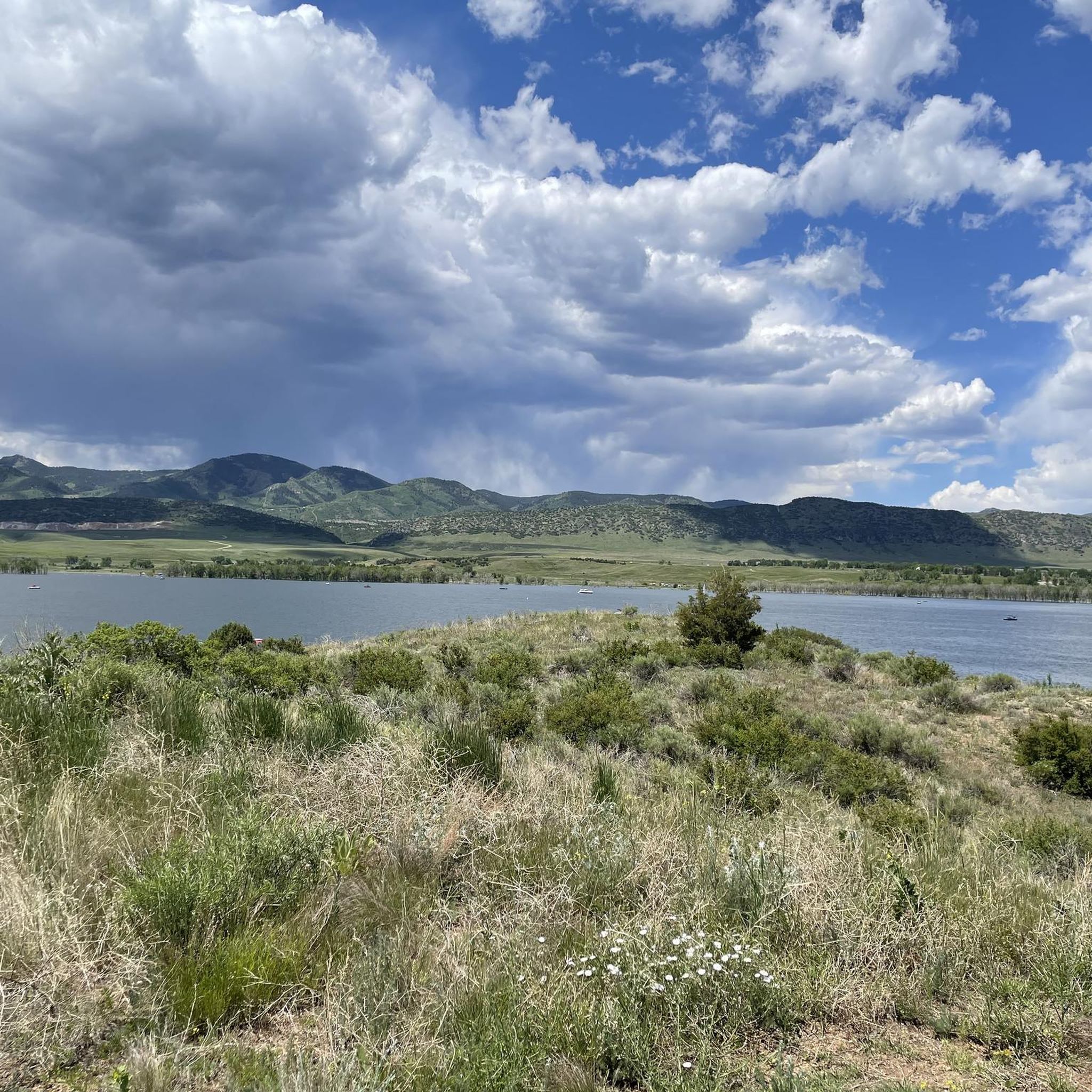
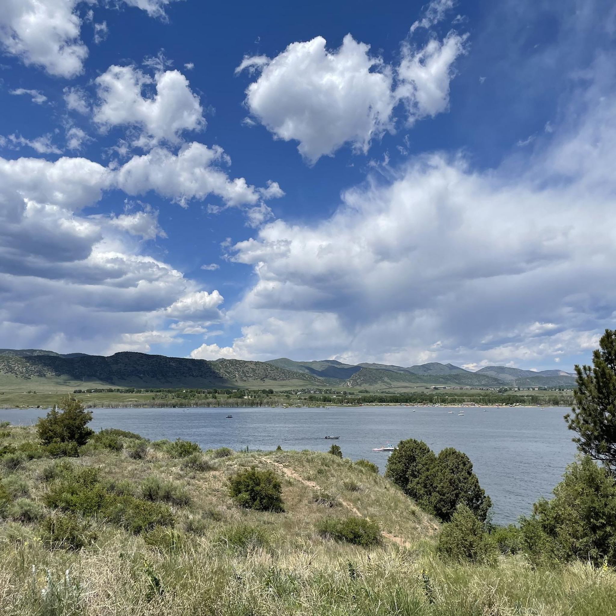
Chatfield State Park is a beautiful park in the lower foothills of the Front Range. The park has a large lake and many miles of trails. It is popular with hikers, boaters, cyclists, and fishermen.
0
0
The Chatfield Reservoir is a 1,423-acre lake in Chatfield State Park. There is a hiking path that runs alongside the water.
0
0

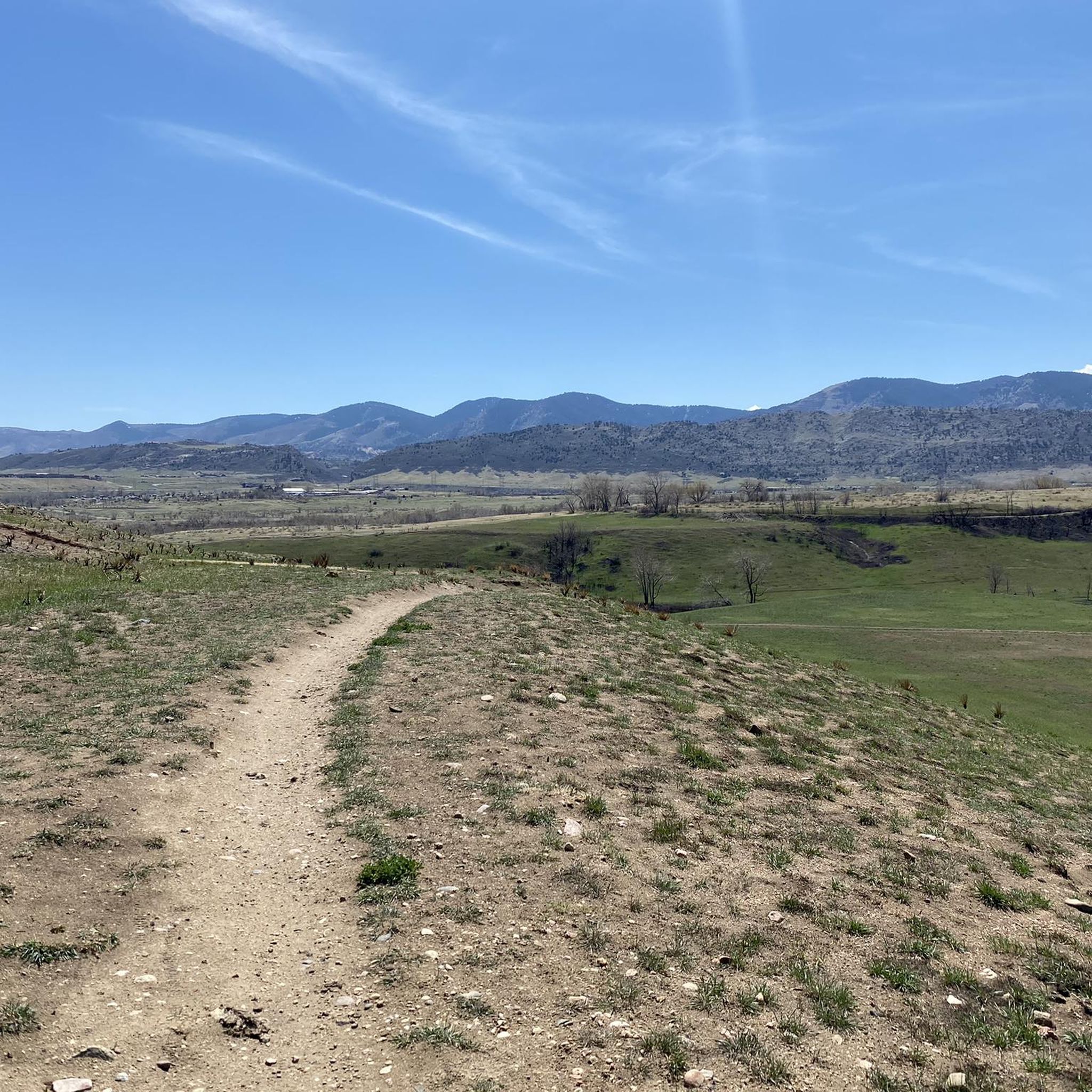
View from the gravel section of the Dam Trail. Nice views of the foothills and the suburbs from the Dam Trail.
0
0

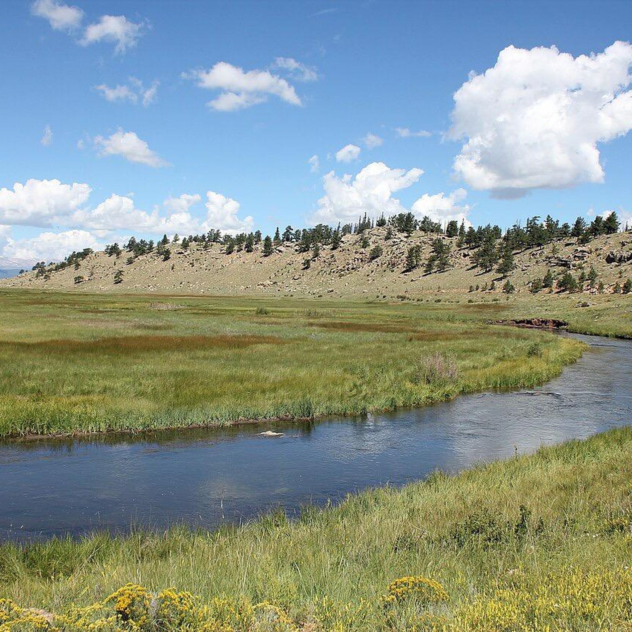
The South Platte River is one of the two main tributaries of the Platte River. The river starts in South Park and ends when it joins the North Platte River south of Ogallala, Nebraska.
0
0

The Slocumb Cabin is about 200 feet away from the Chatfield State Park Office, heading north-west down a paved trail. The cabin is the oldest standing structure in the Denver area. This 10x12-foot cabin was acquired by pioneer Thomas Slocumb in 1859. The views from here over Chatfield State Park and Chatfield Reservoir are stunning.
0
0
The South Platte River, originating in the mountains of central Colorado at the Continental Divide, flows a total distance of about 439 miles. The river is a hot spot for outdoor activities like fishing, kayaking, and wildlife watching. It flows through urban areas and the backcountry.
0
0
Chatfield Reservoir offers opertunity for fun activities like boating, biking, fishing, camping, and hiking. Established in the 1970s for flood control, the lake is now home to animals like deer and bald eagles. Chatfield Reservoir is water storage facility for the Denver area and features a marina for boaters.
0
0

Chatfield State Park is a 5,300-acre park featuring a 1,400-acre reservoir. There are a bunch of different trails, ponds, and natural areas, and the majority of the main roads are paved and well-kept.
0
0
Frequently Asked Questions
How many road cycling routes are available in Columbine?
Columbine offers a wide variety of road cycling routes, with over 120 tours available. These routes cater to different skill levels, including easy, moderate, and difficult options.
Are there road cycling routes suitable for beginners in Columbine?
Yes, Columbine has approximately 40 easy road cycling routes. A great option for beginners is the South Platte Reservoir – Mary Carter Greenway Trail loop from Columbine, which is a relatively flat and shorter ride.
What are some challenging road cycling routes for experienced riders in Columbine?
For experienced road cyclists seeking a challenge, there are about 23 difficult routes. One notable option is the Pleasant Park Grange Rest Stop loop from Chatfield State Park, which features significant elevation gain over its 38.4 miles.
Are there family-friendly road cycling options in Columbine?
Yes, the area is well-suited for family cycling. The extensive network of paved and multi-use trails, such as sections of the Mary Carter Greenway Trail and the South Platte River trails, provide safe and enjoyable rides for all ages. The Columbine Open Space and Trail is also known for its family-friendly system.
What kind of scenery can I expect on road cycling routes around Columbine?
Road cycling routes in Columbine offer diverse scenery, including views of several significant bodies of water like Bear Creek Lake, Big Soda Lake, and Chatfield Reservoir. You'll also find pathways along the South Platte River and frequent views of the surrounding foothills and mountains.
Are there any loop trails for road cycling in Columbine?
Yes, many road cycling routes in Columbine are designed as loops. Examples include the Big Soda Lake – Apatosaurus Bulges loop from Columbine, which offers scenic views around the lake, and the Wetlands View – Chatfield Reservoir loop from Chatfield State Park.
What do other road cyclists enjoy most about cycling in Columbine?
The road cycling experience in Columbine is highly rated by the komoot community, with an average score of 4.4 stars from over 50 reviews. Cyclists often praise the well-maintained paved trails, access to large reservoirs, and the scenic views of the Front Range foothills.
What are some notable attractions or landmarks along the road cycling routes?
Along the routes, you can explore several natural attractions. Key highlights include Bear Creek Lake, Big Soda Lake, and Chatfield Reservoir, all popular for their recreational opportunities and scenic beauty. The Mary Carter Greenway Trail itself is a significant feature, connecting various parts of the trail system.
Is it possible to find cafes or pubs near the road cycling trails in Columbine?
While Columbine is primarily suburban, the broader Denver Metro area, including nearby Littleton, offers various amenities. For example, the Bridge over South Platte River – Nixon's Coffee House loop from Littleton specifically mentions a coffee house, indicating that such establishments are accessible near some routes.
What is the best time of year for road cycling in Columbine?
The spring, summer, and fall months generally offer the best conditions for road cycling in Columbine, with pleasant temperatures and clear paths. While some trails may be accessible in winter, conditions can vary, so it's always best to check local weather and trail reports.
Are there any specific trails that are particularly scenic for road biking?
Many routes offer scenic viewpoints. The Big Soda Lake – Apatosaurus Bulges loop from Columbine is known for its views of Big Soda Lake and its natural surroundings. Additionally, routes along the South Platte River and near Chatfield Reservoir provide picturesque backdrops.
Are there any road cycling routes that connect to broader trail systems?
Yes, Columbine's road cycling routes are well-integrated into larger networks. The Mary Carter Greenway Trail connects through Arapahoe County to other parts of Denver's trail system. The Columbine Open Space and Trail also links to the broader Colorado Front Range Trail, offering long-distance cycling opportunities.
Most popular attractions around Columbine

Get inspired with the komoot mobile app


Explore more
Browse the best Road cycling routes in other regions.
