The best MTB trails around Dettighofen
4.6
(1637)
5,225
riders
388
rides
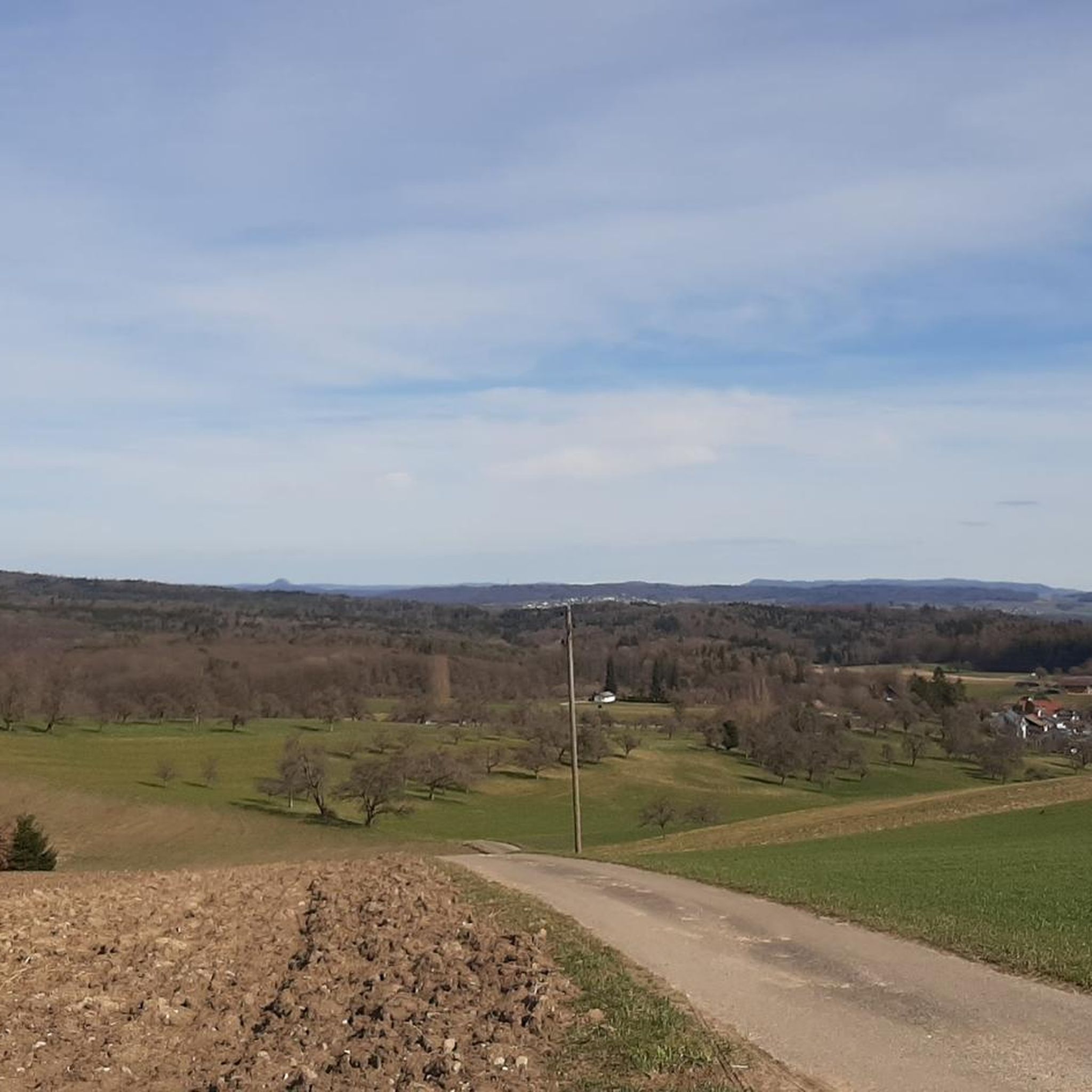
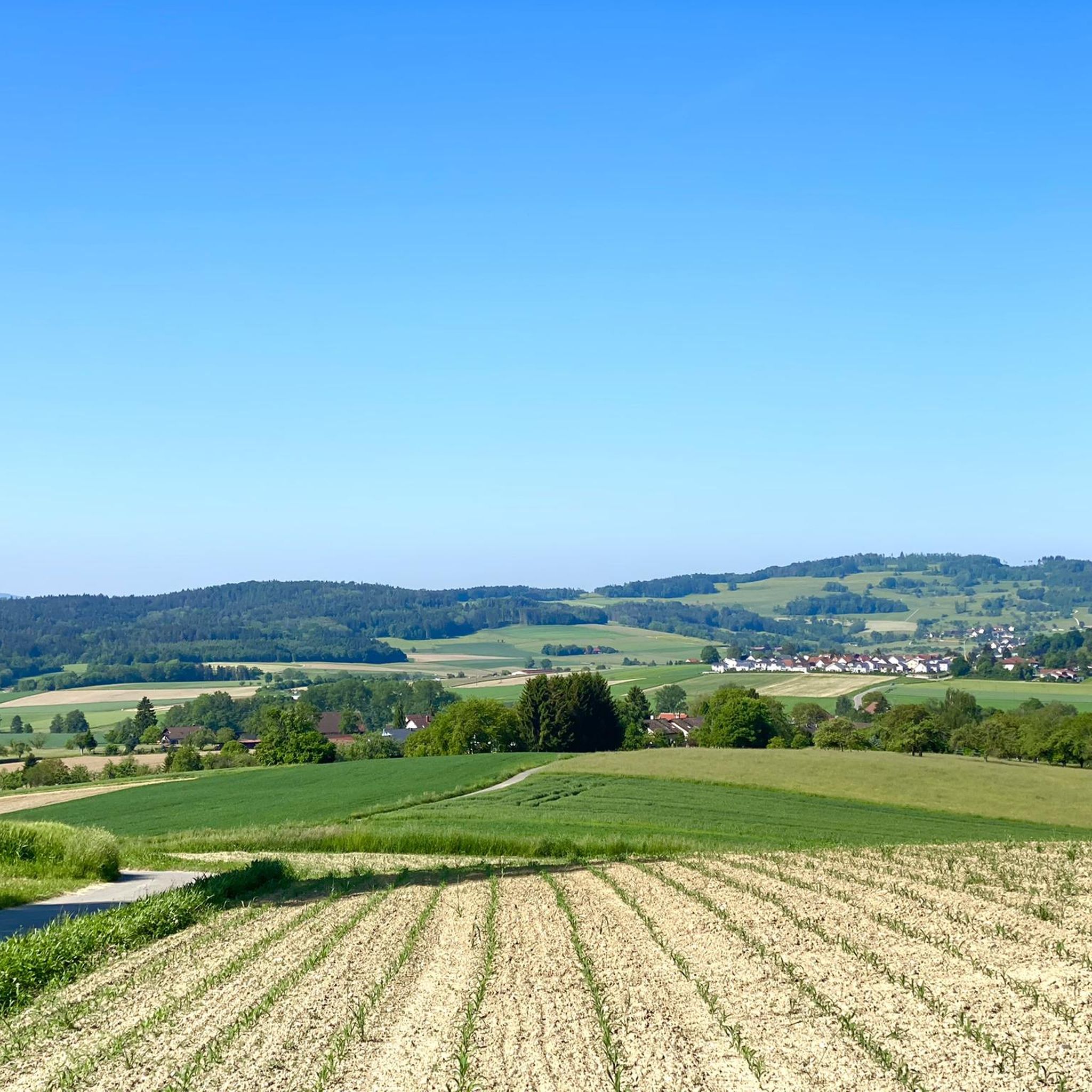
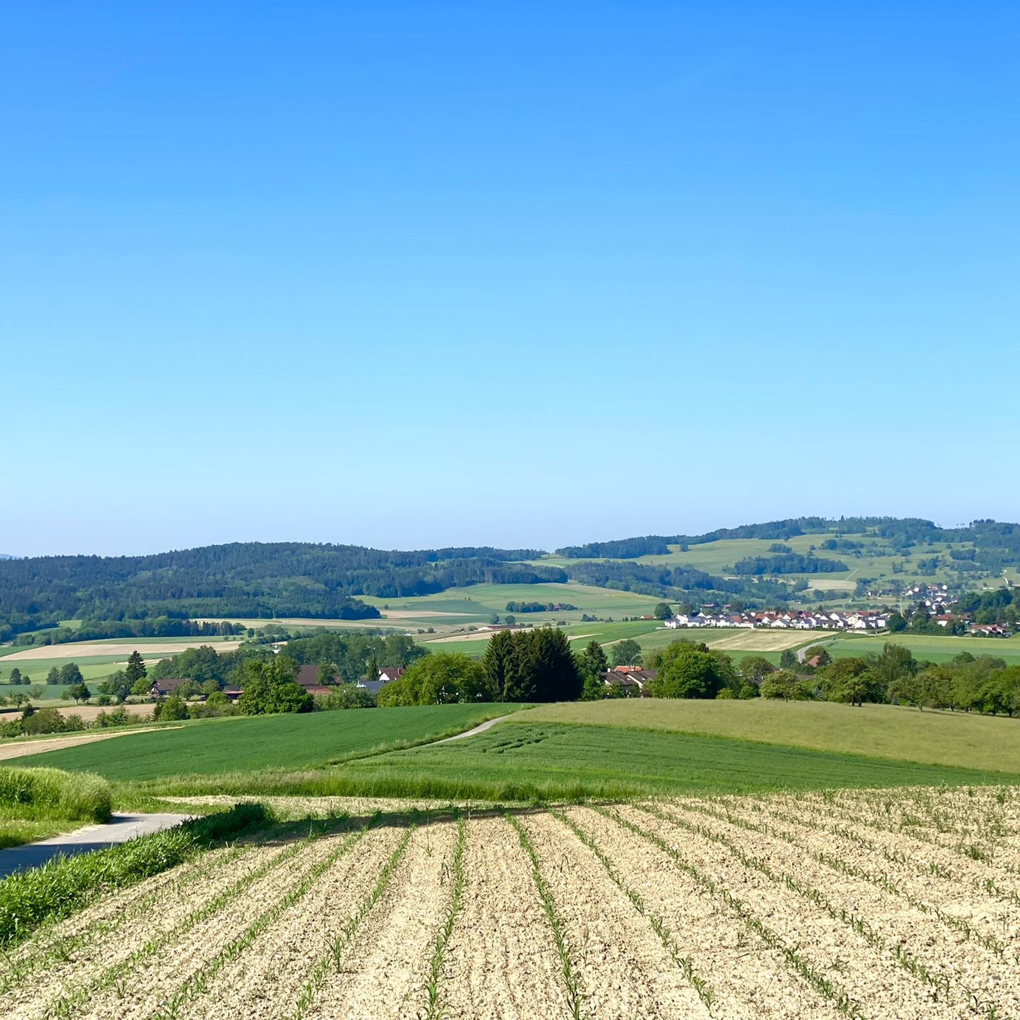
Mountain biking around Dettighofen offers diverse terrain, characterized by its proximity to the Wutach and Rhine rivers, providing routes along river valleys. The region features a mix of dense forests and elevated sections, including hills, which contribute to varied elevation profiles. Mountain bike trails in Dettighofen often traverse agricultural land and wooded areas, presenting a range of surfaces from forest paths to singletrack. The landscape provides opportunities for both extended rides and shorter excursions.
Best mountain bike trails around Dettighofen
…Last updated: June 26, 2026
5.0
(1)
18
riders
39.4km
03:01
670m
670m
Moderate mountain bike ride. Good fitness required. Suitable for all skill levels.
4.0
(1)
14
riders
15.6km
01:11
230m
230m
Moderate mountain bike ride. Great for any fitness level. Advanced riding skills necessary.

Sign up for free
5.0
(2)
13
riders
12.8km
01:08
260m
260m
Hard mountain bike ride. Great for any fitness level. Advanced riding skills necessary. Some portions of the route may require you to push your bike.
5.0
(1)
14
riders
Moderate mountain bike ride. Good fitness required. Suitable for all skill levels.
4.7
(6)
11
riders
41.8km
03:30
660m
660m
Moderate mountain bike ride. Good fitness required. Advanced riding skills necessary.
Get access to more routes and recommendations from other explorers.
Sign up for free
Already have an account?
Our route recommendations are based on thousands of hikes, rides, and runs completed by other people on komoot.
Start today with a free account
Your next adventure awaits.
Login or Signup
Tips from the Community

The Amateur Cycling Track Jestetten (modernized version of the text from the information board) In the spring of 1923, local amateur racing cyclists founded the Staubwolke cycling club. Their club headquarters, the Gasthaus Zum Löwen, had already been taken over in 1920 by the wealthy farmer Fritz Winkler from Berwangen. The idea of building their own cycling track in Jestetten finally emerged at the regulars' table. Racers from Neuhausen am Rheinfall and the Jestetten bicycle mechanic Ludwig Schönhammer enthused the Löwen innkeeper and his eldest son Walter for the project – and won them over as financial supporters and builders. Over 10,000 m² of earth and stones had to be moved for the track's foundation. A quarry was specially set up on Augasse for this purpose to enable short transport routes. The track was to have a cement surface, be 6 meters wide on the straights and 8 meters in the curves, and have a total length of 200 meters. The 3-meter banking in the curves was not designed for motor racing, but it was perfectly adequate for cycling races – speeds of up to 70 km/h were possible. The spectator grandstand utilized the natural terrain of the Auhalde. Wooden benches were built in terraces on the slope behind today's Narrenvereinshütte, offering space for around 1000 visitors. A reserved seat cost CHF 1.50 in 1925, a numbered seat CHF 2.–. Along the track, there were also around 1000 standing places for CHF 1.– each. The grand opening event took place on Sunday, May 24, 1925. Top Swiss cyclists were present, and three main disciplines were raced: sprint races, points races, and team races (Americana) in the style of a Six Days' race over 50 kilometers. The results were regularly published in the Schaffhauser Intelligenzblatt, the Illustrierten Rad‑Sport, as well as the Gazette de Lausanne and the Journal de Genève. Until 1934, numerous top cyclists competed against each other on the Jestetten cement oval. Three to four races per year, often with up to 35 starters, made the track a regional crowd-puller. Each event had the character of a folk festival.
0
0

This isn't an S2 or S3, maybe an S1.5 if you're booting up, not booting down.
0
0

After visiting Küssaburg, a stop for refreshment is recommended.
0
0

In operation from 1925 to 1934, it's now an interesting lost place. You can try a ride on a full-suspension mountain bike... Unfortunately, it seems to be falling apart more and more due to a lack of maintenance, which is a shame.
2
0

Very nice to look at, definitely recommended...
0
0

There is a self-service refrigerator outside with cold drinks and ice cream.
0
0
Frequently Asked Questions
How many mountain bike trails are available around Dettighofen?
There are over 400 mountain bike trails around Dettighofen. These include a diverse range of routes, with 78 easy, 274 moderate, and 55 difficult options to suit various skill levels.
Are there easy mountain bike trails suitable for beginners in Dettighofen?
Yes, Dettighofen offers 78 easy mountain bike trails perfect for beginners or those looking for a relaxed ride. These routes typically feature less challenging terrain and elevation changes.
What are the typical durations for mountain bike trails in Dettighofen?
Trail durations vary significantly. For example, the Forest Path in Zurich – Flowy Singletrack Trail loop from Rafz is about 1 hour 11 minutes, while longer routes like the Kneipp Barefoot Bath – View of the Wutach River loop from Dettighofen can take around 2 hours 39 minutes. Many trails fall within this range, with some extending to 3-4 hours or more.
Are there challenging mountain bike trails for advanced riders in Dettighofen?
Yes, Dettighofen features 55 difficult mountain bike trails designed for experienced riders seeking more technical terrain and significant elevation gains. These routes often include demanding climbs and descents.
When is the best time of year for mountain biking in Dettighofen?
The best time for mountain biking in Dettighofen is generally from spring to autumn (April to October). During these months, the weather is usually mild, and trails are dry and in good condition. Always check local weather forecasts before heading out.
What kind of scenic views can I expect on mountain bike routes in Dettighofen?
Mountain bike routes in Dettighofen offer diverse scenery, including paths along the Wutach and Rhine rivers, through dense forests, and elevated sections with panoramic views. The Trail – Weiacher Höhe loop from Wil ZH is known for its panoramic vistas from higher ground.
Are most mountain bike trails in Dettighofen loop trails?
Many of the mountain bike trails around Dettighofen are designed as loops, allowing you to start and finish at the same point. Examples include the Rhine at Eglisau – Rhine River Trail loop from Dettighofen and the Chapel with Bench and Fountain – Narrow Pathway loop from Baltersweil.
What do other mountain bikers enjoy most about the trails in Dettighofen?
The trails in Dettighofen are highly rated by the komoot community, with an average score of 4.7 stars from over 1,500 reviews. Riders often praise the varied terrain, from river valleys to dense forests and elevated sections, and the options available for different ability levels.
Are there any interesting natural landmarks or attractions near the mountain bike trails?
Yes, the region offers several interesting natural landmarks. You can explore various caves such as Erdmannliloch or Flühhalde — Neolithic Cave and Picnic Area. There are also viewpoints like the Siblinger Randen Tower offering great vistas.
How can I check current trail conditions before I go mountain biking?
For the most up-to-date information on trail conditions, it's best to check local weather forecasts and recent komoot tour reports or comments from other users who have recently ridden the trails. Local tourism offices or bike shops might also provide current status updates.
What should I wear for mountain biking in Dettighofen?
It's advisable to wear appropriate cycling gear, including a helmet, padded shorts, and layers of clothing that can be adjusted to changing weather conditions. Depending on the season, consider waterproof outerwear and gloves. Always bring enough water and snacks.
Are there any historical sites or cultural points of interest accessible by mountain bike?
While primarily focused on natural landscapes, some routes may pass near historical points. For instance, the Rhinsberg Prehistoric Hillfort is a notable historical site in the broader region that could be incorporated into a ride.
Most popular routes around Dettighofen
Most popular attractions around Dettighofen

Get inspired with the komoot mobile app


Explore more
Browse the best MTB trails in other regions.
