The best road cycling routes around Ken Caryl
4.5
(79)
4,896
riders
136
rides
If you've ever tried to plan road cycling around Ken Caryl, you know how overwhelming the options can be. Sifting through countless routes to find the ones genuinely worth your time and effort can feel like a full-time job. That's where we come in. Our komoot community has mapped, ridden, and reviewed these routes, so we've done the legwork to bring you a curated shortlist of the best road cycling in Ken Caryl, saving you the guesswork.
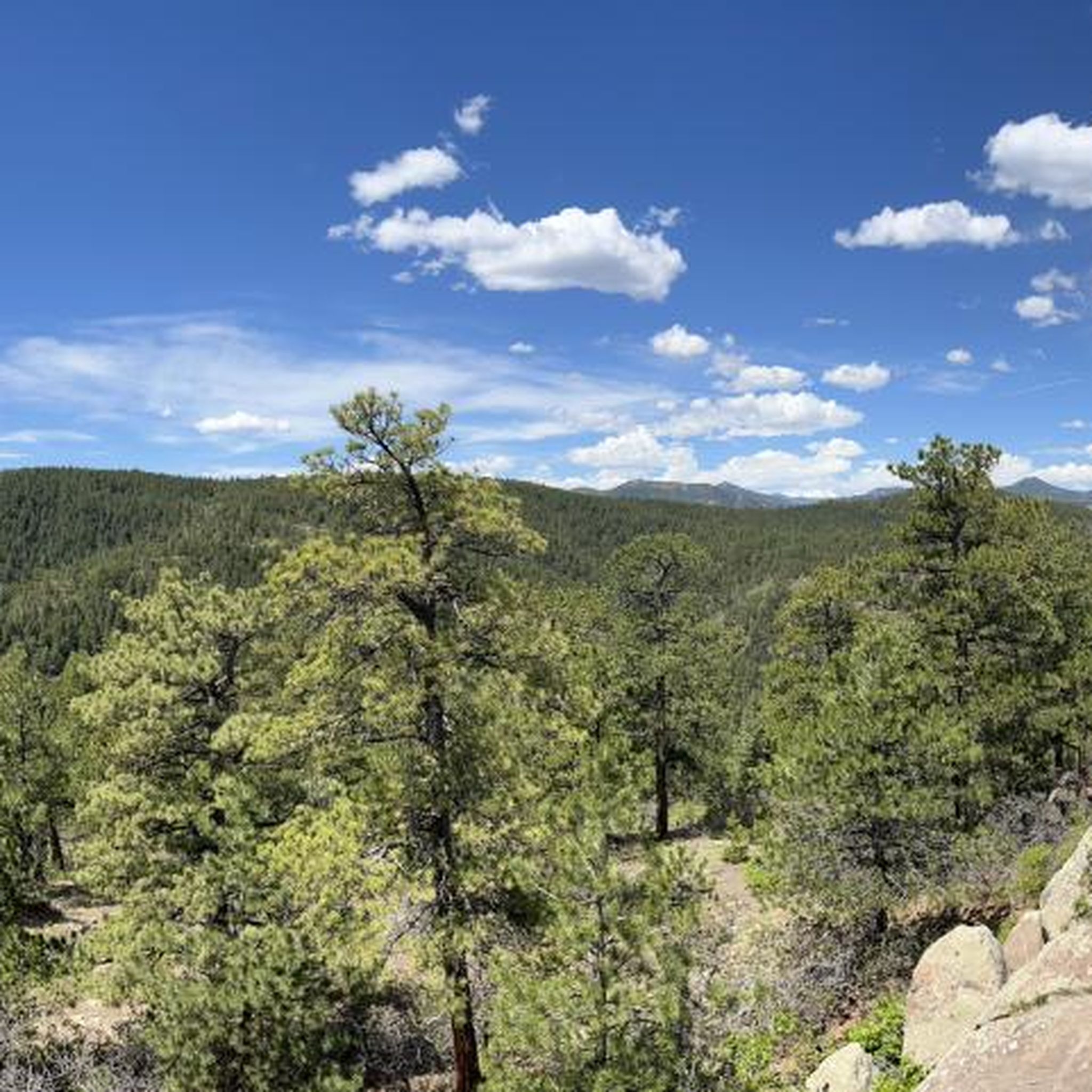
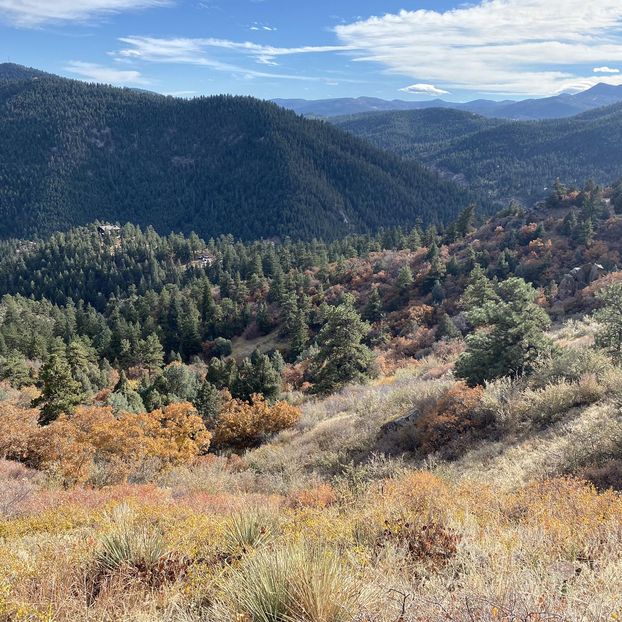
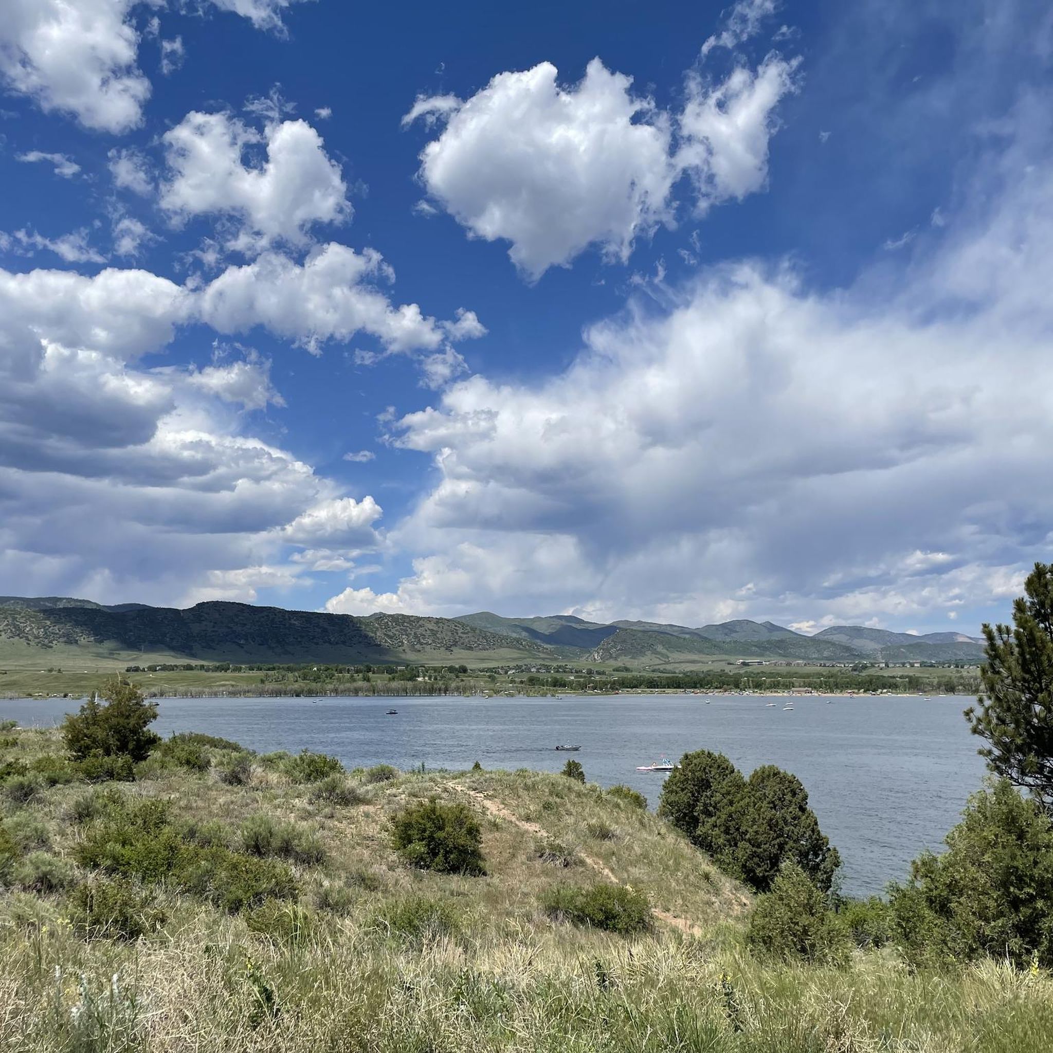
Road cycling around Ken Caryl is defined by its stunning backdrop of the Rocky Mountain foothills, with distinctive hogback ridges and expansive open spaces. You'll find a mix of terrain, from rolling hills that offer a good workout to more challenging ascents, all set against views of striking red rock formations. The area offers a fantastic range for all abilities, from easy spins to demanding climbs, with routes winding through valleys and past scenic reservoirs like those in Chatfield State Park and Bear Creek Lake Park.
For a challenging day out with significant elevation gain, we'd point you towards the Pleasant Park Grange Rest Stop loop from Chatfield State Park. At 38.4 miles (61.8 km), this difficult route is a local favorite for a reason. If you’re looking for a moderate ride that still delivers on views, the View from Chatfield Dam – South Platte Reservoir loop from Littleton - Mineral is a fantastic choice at 30.6 miles (49.2 km), offering picturesque reservoir vistas. With more than 3,000 road cyclists having explored Ken Caryl with komoot, you're in good company.
Last updated: May 30, 2026
5.0
(1)
140
riders
62.4km
03:22
1,200m
1,200m
Hard road ride. Very good fitness required. Mostly well-paved surfaces and easy to ride.
20
riders
89.9km
05:13
1,810m
1,810m
Hard road ride. Very good fitness required. Mostly well-paved surfaces and easy to ride.

Sign up for free
52
riders
38.1km
02:18
390m
390m
The Bear Creek Lake – Big Soda Lake loop from Ken Caryl offers a dynamic road cycling experience, weaving through urban greenways and natural settings. You will pedal past the scenic Big Soda Lake, enjoying views of the backcountry and the striking red rock formations that characterize the area. The route transitions from open vistas of the Colorado foothills along the C-470 section to the tranquil, tree-lined corridors of the Bear Creek Trail, where you might spot local wildlife.
This moderate 23.6-mile (38.1 km) ride involves 1273 feet (388 metres) of elevation gain and typically takes about 2 hours and 17 minutes. You will find numerous access points and parking options, including within Bear Creek Lake Park, making it convenient to start your journey. For the most comfortable temperatures and vibrant scenery, plan your visit during the spring or fall.
What makes this route stand out is its unique blend of urban convenience and natural beauty, providing a substantial workout without venturing far from metropolitan areas. The region around Little Soda and Big Soda lakes is particularly noted for its rich biodiversity, including various bird species, adding an ecological dimension to your ride.
24
riders
110km
05:47
1,810m
1,810m
Hard road ride. Very good fitness required. Mostly well-paved surfaces and easy to ride.
38
riders
31.5km
01:41
270m
270m
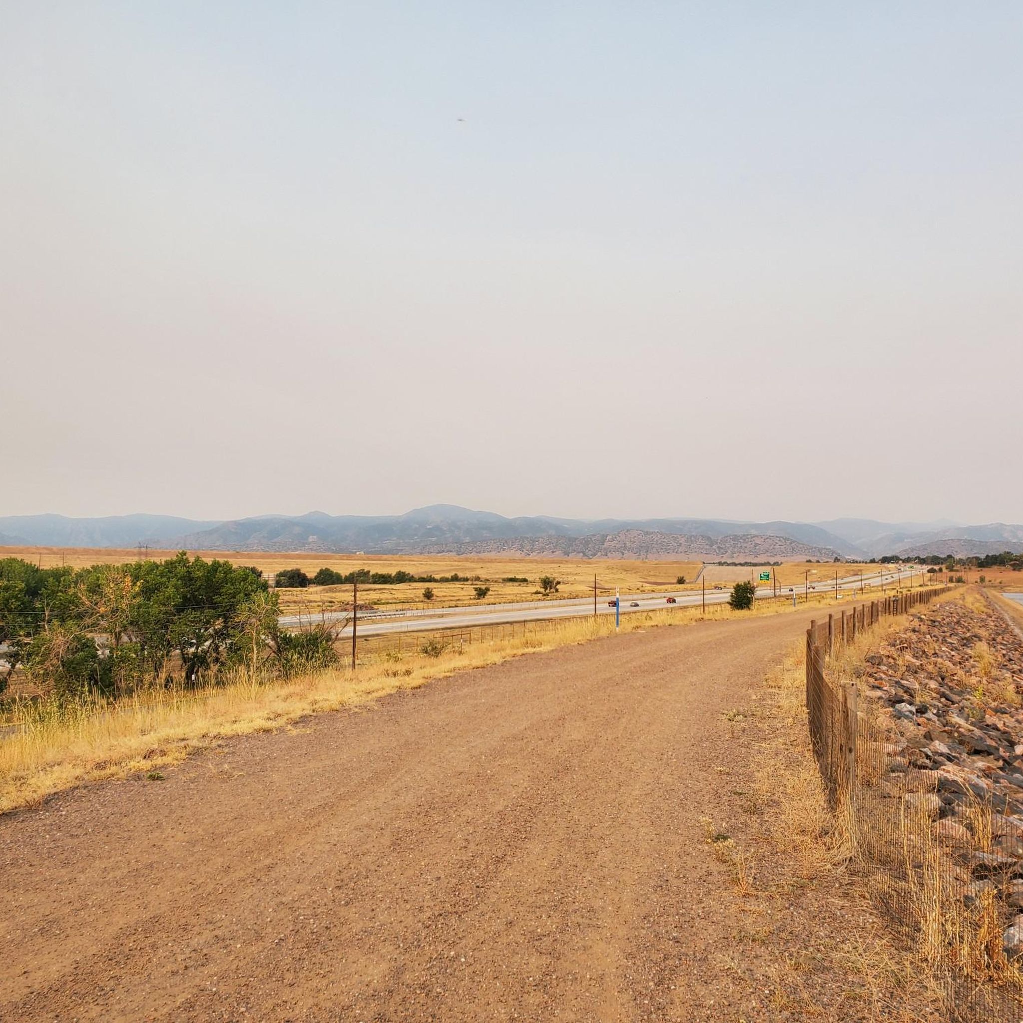
The South Platte River – View from Chatfield Dam loop from Ken Caryl offers a delightful road cycling experience, winding through open spaces with stunning views of Chatfield Reservoir and the Rocky Mountain foothills. You'll navigate a mix of paved paths and some short, approachable gravel sections, particularly as you ride atop the Chatfield Dam itself, providing wide, expansive vistas. The route follows the South Platte River, a vibrant corridor for wildlife, where you might spot deer, turkeys, or even bald eagles, especially in the spring.
This easy 19.5-mile (31.5 km) loop, with its 877 feet (267 metres) of elevation gain, is a fantastic option for a relaxed outing, typically taking about 1 hour and 40 minutes to complete. Parking is generally available near Ken Caryl, making it a convenient starting point for your adventure. While mostly smooth, some variations might include older pavement or groomed crushed gravel, so a road bike with slightly wider tires could offer more comfort.
This route is a local favorite, known for its accessibility and connection to other regional trails like the C-470 Bikeway, allowing for longer rides if you choose. Chatfield State Park itself is a recreational hub, offering activities beyond cycling, and the continuous miles of clean loop routes, thanks to recent construction, enhance the overall experience. It's a great way to enjoy the natural beauty and varied terrain of the area without an overly strenuous effort.
Get access to more routes and recommendations from other explorers.
Sign up for free
Already have an account?
Our route recommendations are based on thousands of hikes, rides, and runs completed by other people on komoot.
Start today with a free account
Your next adventure awaits.
Login or Signup

Tips from the Community


This is a nice overlook near Mt. Carbon, with expansive views of the Denver skyline, Bear Lake Park, and Mount Falcon Park in the background. Bear Creek Trail ends here, making it a great spot to pause, sit for a bit, and enjoy the views.
0
0

Lookout Mountain is a popular climb for local cyclists and visitors. Traffic is normally light and friendly, but the climb is steep at points. However, you are rewarded at the top by wonderful views of downtown Denver.
0
0

Bear Creek Lake Park spans 2,624 acres and is a great spot for hiking, biking, and horseback riding, as well as swimming, fishing, and boating year-round recreation. Open from April 1 to October 31, the campground is one of the closest full-service options near Denver. Visitors can also enjoy picnic shelters, paved and unpaved trails, an archery range, and scenic reservoirs.
1
0

The South Platte River is one of the two main tributaries of the Platte River. The river starts in South Park and ends when it joins the North Platte River south of Ogallala, Nebraska.
0
0

scenic high point above Bear Creek Reservoir, between the Denver skyline and the foothills - a bike path all the way http://www.cyclepass.com/t_p_Bear_Creek_Res.html
0
0

Mount Carbon dominates Bear Creek Lake State Park, near the eastern entrance to the park, rising to an elevation of 6,000 feet (1759 meters). It offers a great vantage point from which to view the early ranges of the Rocky Mountains.
0
0

Enjoy looking out from the observation deck as you can see Denver and the perfectly straight Colfax Road that splits down the middle.
0
0
Frequently Asked Questions
How many road cycling routes are available in the Ken Caryl area?
There are over 120 road cycling routes around Ken Caryl, offering a wide range of options for different skill levels and preferences. These routes traverse the dramatic foothills of the Rocky Mountains, providing varied terrain and scenic backdrops.
Are there road cycling routes suitable for beginners or families in Ken Caryl?
Yes, Ken Caryl offers several routes suitable for those looking for an easier ride. There are 39 easy routes available, often featuring less elevation gain and smoother paths. While specific family-friendly road cycling routes are not explicitly listed, the extensive trail systems within Ken Caryl Ranch and nearby parks like Bear Creek Lake Park and Chatfield State Park offer paved sections that can be enjoyed by families.
What kind of challenging road cycling routes can I find in Ken Caryl?
For experienced cyclists seeking a challenge, Ken Caryl boasts 28 difficult road cycling routes. These often feature significant elevation gains and more demanding terrain, such as the Pleasant Park Grange Rest Stop loop from Chatfield State Park, which covers 38.4 miles with over 3,900 feet of ascent. Another challenging option is the Lookout Mountain Climb – Big Soda Lake loop from Deer Creek, a 42.6-mile route with over 3,900 feet of climbing.
Are there any scenic loop routes for road cycling in Ken Caryl?
Many road cycling routes in Ken Caryl are designed as loops, allowing you to experience diverse scenery without retracing your path. A popular moderate loop is the View from Chatfield Dam – South Platte Reservoir loop from Area closed to public, which offers views of the South Platte Reservoir. Another option is the South Platte Reservoir – View from Chatfield Dam loop from Columbine, a 42.4-mile route through the reservoir area.
What natural attractions or landmarks can I see along the road cycling routes?
Road cycling routes in Ken Caryl often pass by or offer views of significant natural features. You can encounter the distinctive hogback ridge, red rock formations, and expansive open spaces. Nearby attractions include the Chatfield Reservoir and the South Platte River. Some routes also offer glimpses of the Big Soda Lake or the dramatic Dinosaur Ridge.
Where can I find parking for road cycling trails in Ken Caryl?
While specific parking details for every route vary, many road cycling routes in Ken Caryl start near community parks or trailheads that offer parking. For routes around Chatfield State Park or Bear Creek Lake Park, designated parking areas are available within the parks. It's advisable to check the starting point of your chosen route on komoot for specific parking recommendations.
What is the best time of year for road biking in Ken Caryl?
The Ken Caryl area generally offers excellent road cycling conditions from spring through fall. The mild temperatures and clear skies during these seasons make for enjoyable rides. While winter cycling is possible, conditions can vary with snow and ice, especially on higher elevation routes or after storms. Always check local weather and trail conditions before heading out.
Are there any routes that feature water bodies or lakes?
Yes, several road cycling routes in Ken Caryl incorporate or offer views of water features. The View from Chatfield Dam – South Platte Reservoir loop from Area closed to public and the South Platte Reservoir – View from Chatfield Dam loop from Columbine both feature the South Platte Reservoir. Additionally, the Big Soda Lake – Apatosaurus Bulges loop from Columbine passes by Big Soda Lake, providing scenic lakeside stretches.
What do other road cyclists enjoy most about road cycling in Ken Caryl?
The road cycling routes around Ken Caryl are highly rated by the komoot community, with an average score of 4.4 stars from over 50 reviews. Cyclists often praise the stunning natural landscapes, the challenging yet rewarding climbs in the foothills, and the well-maintained surfaces. The blend of scenic views, varied terrain, and extensive open spaces makes it a favorite destination for many.
What are the typical distances and durations for road cycling routes in Ken Caryl?
Road cycling routes in Ken Caryl vary significantly in length and duration. You can find routes ranging from shorter, easier rides to longer, more challenging excursions. For example, a moderate route like the View from Chatfield Dam – South Platte Reservoir loop from Area closed to public is about 31.3 miles and takes around 2 hours 23 minutes. More difficult routes, such as the Lookout Mountain Climb – Big Soda Lake loop from Deer Creek, can be over 42 miles and take more than 4 hours to complete.
Are there any historical sites or points of interest along the routes?
While the focus is on natural beauty, some routes may pass near historical points. For instance, the area is close to Walker House Ruins, offering a glimpse into the region's past. The geological features, like the ancient hogback formation and Dinosaur Ridge, also provide a sense of deep history.
Most popular attractions around Ken Caryl

Get inspired with the komoot mobile app


Explore more
Browse the best Road cycling routes in other regions.
