The best walks and hikes around Niwot
4.4
(32)
942
hikers
67
hikes
Hiking around Niwot offers diverse landscapes with views of the Front Range of the Rocky Mountains. The area features access to the Indian Peaks Wilderness, transitioning from forested sections to open tundra. Numerous lakes and reservoirs, such as Brainard Lake and Lagerman Reservoir, provide waterside trails. Closer to town, paths follow historic routes through cottonwood-lined areas and open fields.
Best hiking trails around Niwot
- The most popular hiking route is Open Sky Loop, a 5.3 miles (8.5 km) trail that takes 2 hours 11 minutes to complete. This moderate route offers peaceful paths through farmland and wetlands.
- Another top favourite among local hikers is Niwot Extended Loop, a moderate 6.3 miles (10.2 km) path. This trail provides views of the Front Range and varied terrain.
- Local hikers also love the Gunbarrel East Boulder Trail Loop, a 1.8 miles (3.0 km) trail leading through open fields, often completed in about 49 minutes.
- Hiking around Niwot is defined by Rocky Mountain vistas, tranquil lake loops, and cottonwood-lined paths. The network offers options for easy strolls and more moderate excursions.
- The routes in Niwot are highly rated by the komoot community with an average score of 4.4 stars from over 20 reviews. More than 600 hikers have used komoot to explore Niwot's varied terrain.
Last updated: July 8, 2026
5
hikers
2.96km
00:49
50m
40m
The Gunbarrel East Boulder Trail Loop offers a delightful stroll through restored grasslands, where the plains meet the foothills of the Front Range. You'll traverse wide, easy paths, passing by numerous ponds that add to the scenic diversity. Keep an eye out for expansive views of the Front Range and the Flatirons, especially from higher points like Gun Barrel Hill, making it a rewarding experience for minimal effort.
Planning your visit to this easy 1.8-mile (3.0 km) loop, which takes about 48 minutes to complete with 171 feet (52 metres) of elevation gain, is straightforward. The trail is highly accessible, even offering ADA access at its southernmost section, making it suitable for a wide range of users. It's a great option for a quick outing any time of year, though spring and fall offer particularly pleasant conditions.
This trail is a gem for wildlife enthusiasts, passing through protected nature preserves and prairie ecosystems. It's an excellent spot for birding, with sightings of raptors, waterfowl, and various songbirds common, alongside deer, coyotes, and foxes. The Gunbarrel East Boulder Trail Loop is also part of a larger network, providing opportunities to connect to other trails for longer adventures if you're looking to explore more of the East Boulder area.
3
hikers
10.2km
02:43
100m
130m
Hike the moderate 6.3-mile Niwot Extended Loop, gaining 338 feet, for scenic plains views, Front Range vistas, and wildlife spotting.

Sign up for free
11.2km
02:57
90m
120m
The East Boulder Trail offers a delightful escape into Boulder's natural beauty, winding through a mosaic of prairie, farmland, and riparian areas. You'll enjoy expansive views of the Front Range, especially from spots like Gunbarrel Hill Viewpoint, and pass by scenic ponds that attract a variety of birds. The terrain is mostly mellow, a mix of dirt and gravel paths, making it a pleasant experience for most hikers.
This moderate 7.0-mile (11.2 km) hike, with its 311 feet (95 metres) of elevation gain, typically takes just under three hours to complete. Parking is available at various trailheads along the route, making access straightforward. Since much of the trail is exposed, remember to pack water and sun protection, especially during sunnier parts of the day.
What makes the East Boulder Trail stand out is its incredible versatility and rich ecosystems. It's a multi-use path, popular with hikers, bikers, and dog walkers, and connects to other local trails for longer adventures. Keep an eye out for wildlife like bald eagles and deer, and enjoy the diverse vegetation, from cottonwoods to lilacs, that lines the path.
11.2km
02:57
90m
120m
The East Boulder Trail offers a delightful journey through Boulder's diverse landscapes, winding past rolling grasslands, active farmland, and serene ponds, particularly scenic in the White Rocks section. You'll enjoy expansive views of the Front Range mountains from various points, including the Gunbarrel Hill Viewpoint, as you navigate mostly mellow singletrack and doubletrack paths. It's a family-friendly route, perfect for a relaxed outing or a multi-use adventure.
Planning your visit is straightforward, with multiple access points available off Arapahoe Road, Valmont Road, and in the Heatherwood neighborhood at Gunbarrel Farm. This moderate hiking route spans 7.0 miles (11.2 km) with a gentle 311 feet (95 metres) of elevation gain, typically taking around 2 hours and 57 minutes. Remember that dog restrictions apply in certain areas, especially north of Valmont Road and near Teller Lake, so check local guidelines before you go.
Beyond its scenic beauty, the East Boulder Trail is a haven for wildlife, making it an excellent spot for birdwatching with opportunities to see raptors, waterfowl, and even bald eagles. The trail also offers a glimpse into local history, passing through the active Teller Farm and areas that were once gravel pits. It's a versatile trail, accommodating hikers, runners, bikers, and even horseback riders, providing a rich experience for various outdoor enthusiasts.
19
hikers
8.47km
02:11
50m
50m
The Open Sky Loop offers a delightful escape into Colorado's agricultural landscapes, providing expansive mountain views and a chance to spot local wildlife. This non-technical route winds through farm country and pastures, passing by the scenic Lagerman Agricultural Preserve and lakes like the Swede Lakes. You'll enjoy a mix of gravel paths and dirt roads, making for a pleasant and accessible journey through open skies.
Planning your visit to the Open Sky Loop is straightforward, with parking available at the trailhead. This 5.3-mile (8.5 km) hike, with a minimal 151 feet (46 metres) of elevation gain, typically takes around 2 hours and 11 minutes, making it a great option for a morning or afternoon outing. It's a dog-friendly trail, but remember to keep your furry friends leashed, and be prepared for full sun as there's very little shade along the route.
What truly sets the Open Sky Loop apart is its unique blend of rural charm and natural beauty, offering a moderate hiking trail difficulty that suits most. You might encounter horses, cows, and even alpacas, and birdwatchers will appreciate the seasonal osprey nest near Lagerman Reservoir. Don't miss the quirky horse statue near N 81st St, known for its seasonal costumes, adding a touch of local character to this popular Boulder County route.
Get access to more routes and recommendations from other explorers.
Sign up for free
Already have an account?
Our route recommendations are based on thousands of hikes, rides, and runs completed by other people on komoot.
Start today with a free account
Your next adventure awaits.
Login or Signup

Tips from the Community

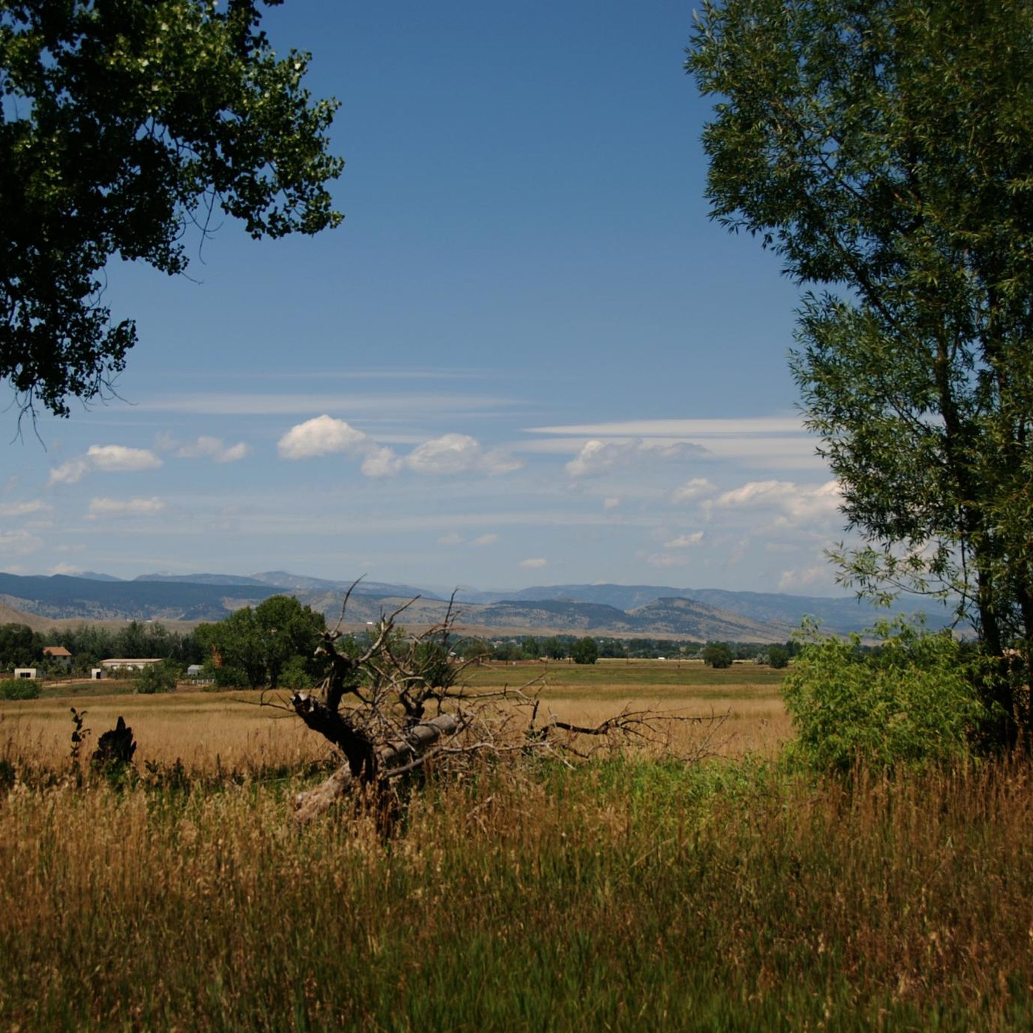
The Open Sky Loop is a popular trail in the Lagerman Agricultural Preserve. It provides foot and cycle traffic a nice way to circumnavigate the preserve to enjoy the wildlife and landscape views.
0
0

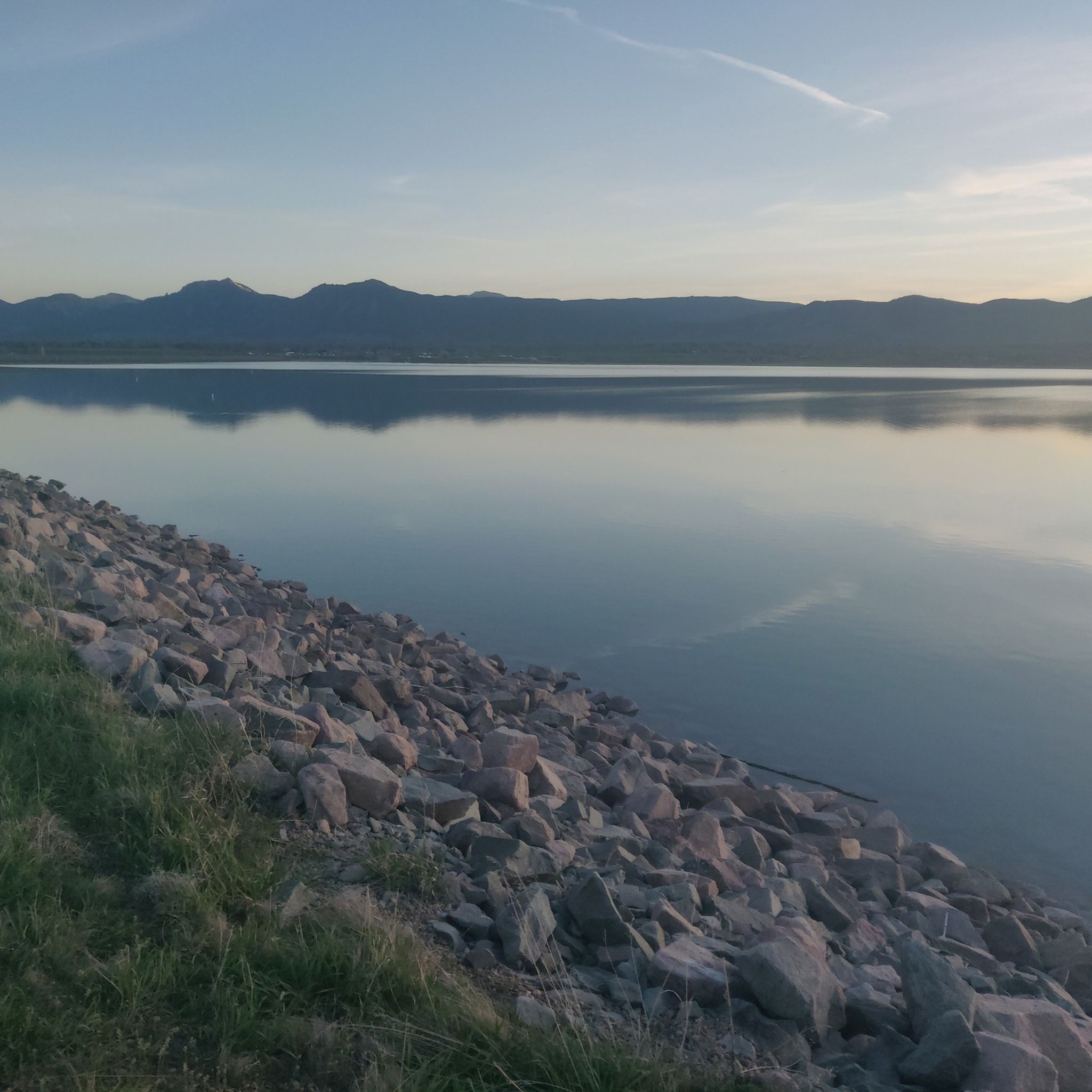
The Lagerman Agricultural Preserve and Reservoir is a small nature preserve that birders, boaters, picnickers, bikers, runners, and dog-walkers can all enjoy. You get great views of the foothills over farms and fields as you hike lightly-graded crushed gravel and dirt roads.
0
0
Depending on which direction you're riding you may just be starting your ride, or just about to finish. Either way this bench makes a good spot to have a quick rest or gear check, before taking in the view and then continuing on your way.
0
0

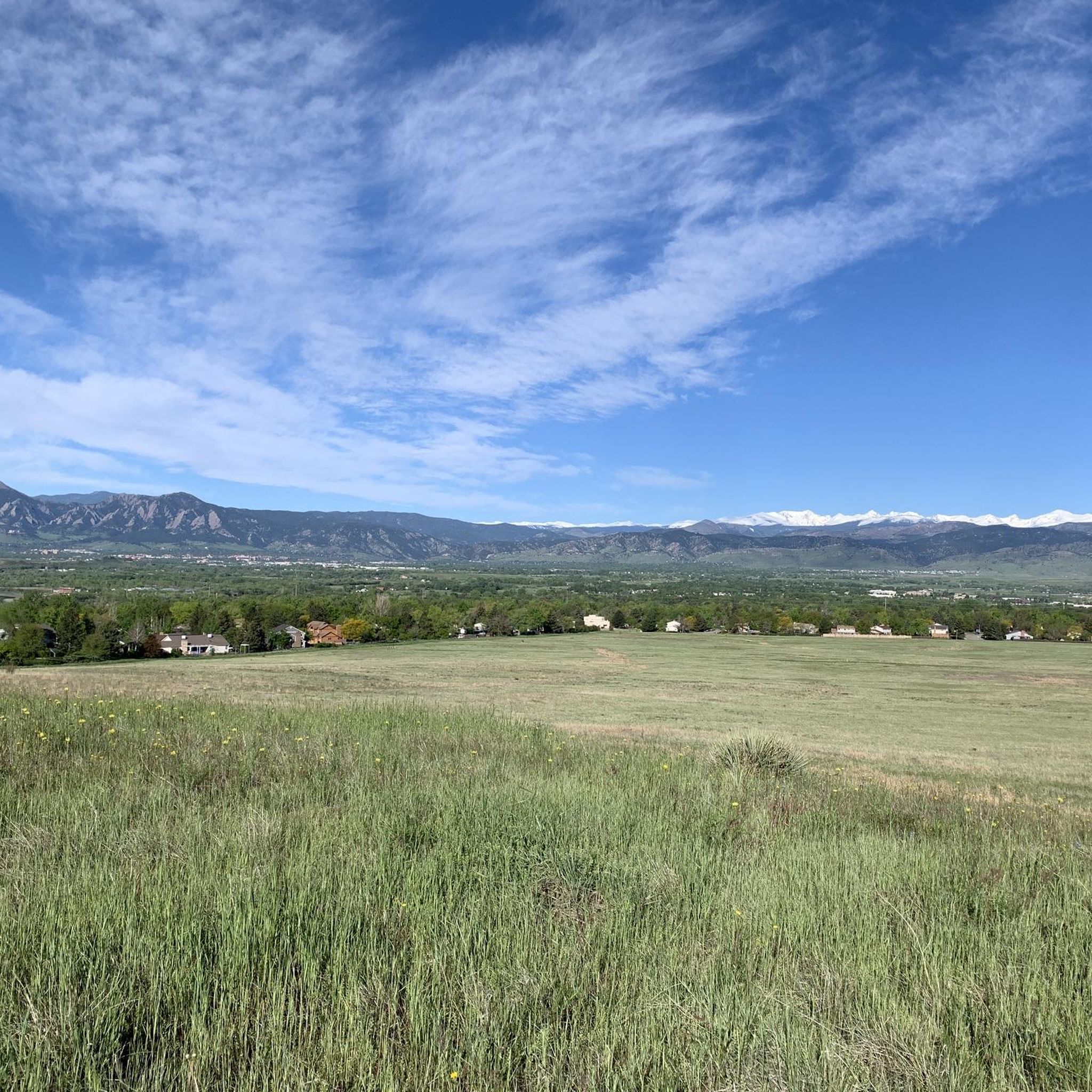
You'll get great views from the top of this hill, but the trail to get there is rocky singletrack — so watch your ankles and/or consider slowing to a walk where you need to.
0
0

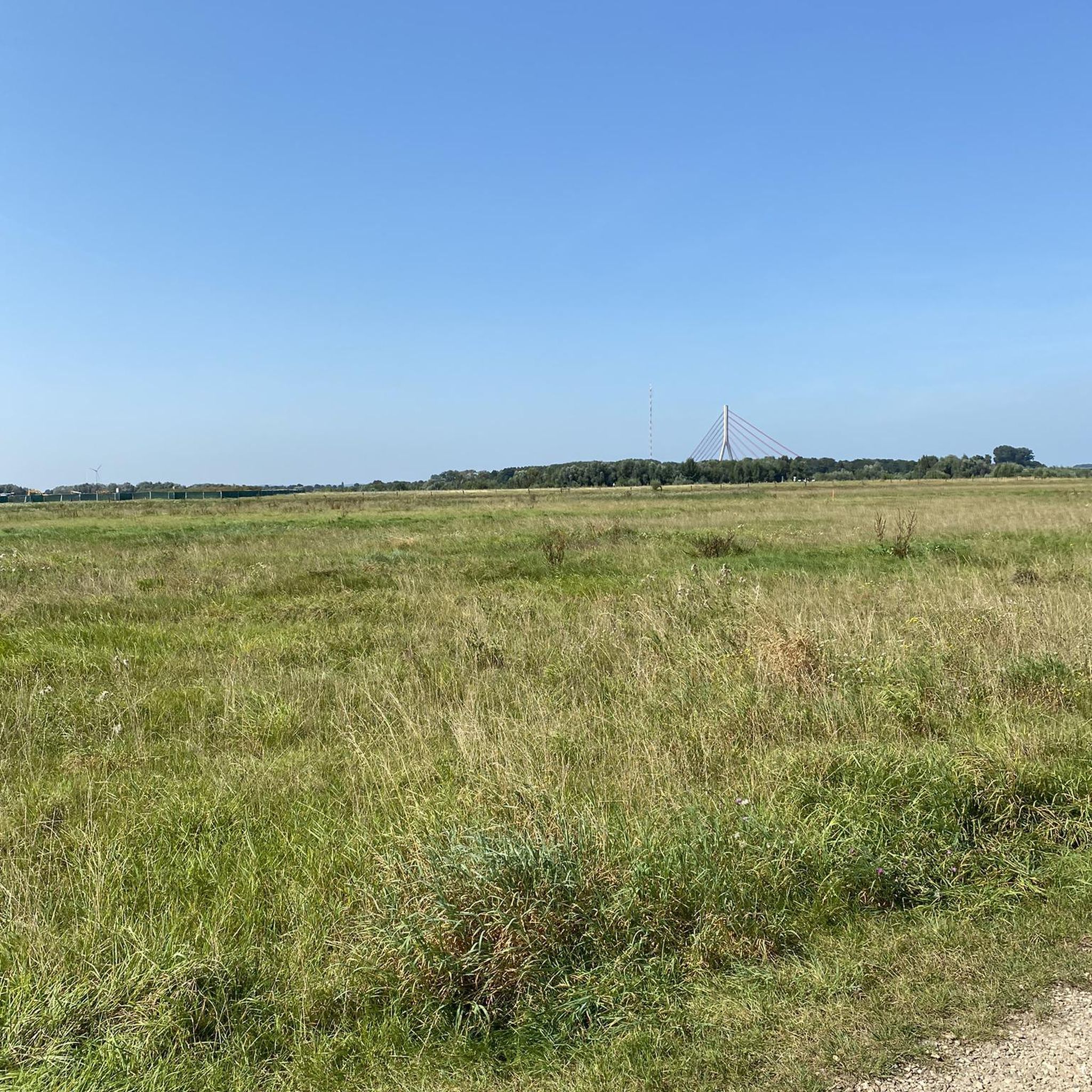
This is a fantastic spot along the Niwot Loop Trail. There is a large parking lot and restrooms. You can follow the Overbrook Trail north along Dry Creek for a more rural run or head south through town. This is a part of the Longmount to Boulder (LoBo) Trail.
0
0

This is not a bike route however there is a bench right there that has spectacular views
0
0

You will probably need to hike your bike up the rocky single track to the top of this hill, but the view is nice.
0
0
Frequently Asked Questions
How many hiking trails are there in Niwot?
Niwot offers a diverse network of over 35 hiking trails, ranging from easy strolls to more moderate excursions. These trails provide varied experiences, from tranquil lake loops to paths through open fields and cottonwood-lined areas.
What kind of terrain can I expect on hikes around Niwot?
Hiking around Niwot features diverse landscapes. You'll find trails with spectacular views of the Rocky Mountains and the Colorado plains, especially from higher elevations. Closer to town, paths often follow historic irrigation routes through cottonwood-lined areas and lush open fields. Some areas, like the Indian Peaks Wilderness, transition from forested sections to rockier tundra above the timberline.
Are there any easy, family-friendly hikes in Niwot?
Yes, Niwot has many easy, family-friendly options. The Lagerman Reservoir loop — Lagerman Agricultural Preserve is a gentle 1.6-mile (2.6 km) trail through open fields and around the reservoir, perfect for a quick outing. Another great choice is the Twin Lakes loop — Twin Lakes Open Space, offering peaceful lake views.
Can I bring my dog on trails in Niwot?
Many trails around Niwot are dog-friendly, but it's always best to check specific trail regulations before heading out. Areas like the Lagerman Agricultural Preserve, which includes the Open Sky Loop, are popular for walks with dogs, often requiring them to be on a leash.
What natural features or landmarks can I see while hiking?
You can enjoy stunning views of the Front Range of the Rocky Mountains, including prominent peaks like Longs Peak and Mount Meeker. Many trails offer access to beautiful lakes and reservoirs such as Boulder Reservoir, Golden Ponds, and McIntosh Lake. The Niwot Loop Trail also provides scenic views of the Front Range and access to wild areas.
Where can I find parking for trailheads in Niwot?
Parking is generally available at popular trailheads and open space areas around Niwot. For example, the Lagerman Agricultural Preserve, home to the Open Sky Loop, offers designated parking. Many local trails within Niwot, such as those near the 95th Street and Hidden Star Trail, also have convenient access points with parking.
What is the best time of year to hike in Niwot?
Niwot offers hiking opportunities year-round. Spring and fall provide pleasant temperatures and vibrant scenery, with changing foliage in autumn. Summer is ideal for higher elevation trails in areas like the Indian Peaks Wilderness, though lower trails can be warm. Winter hiking is also possible, especially on lower elevation paths, offering serene, snow-dusted views.
Are there any more challenging or strenuous hikes near Niwot?
For more challenging experiences, consider trails that lead into the Indian Peaks Wilderness Area. Niwot Mountain itself, at 11,471 feet, offers significant elevation gain and rewarding summit views. The Niwot Ridge Trail, particularly in the Brainard Lake Recreation Area, transitions from forested areas to open tundra, providing a more strenuous hike with expansive vistas.
What do other hikers say about the trails in Niwot?
The hiking routes in Niwot are highly rated by the komoot community, with an average score of 4.3 stars from over 20 reviews. Hikers often praise the diverse landscapes, from tranquil lake loops to paths with stunning mountain vistas, and appreciate the variety of options for different skill levels.
Are there any trails accessible by public transport?
While many trailheads are best accessed by car, the Longmont-to-Boulder Regional Trail (LoBo Trail) is a paved, 12-mile trail that passes through Niwot and connects to a larger network, potentially offering access points via public transport routes that serve the towns it connects.
Are there any permits required for hiking in Niwot?
Most local trails and open spaces around Niwot do not require specific hiking permits. However, if you plan to venture into designated wilderness areas like the Indian Peaks Wilderness, especially during peak seasons or for overnight trips, permits may be required. It's always advisable to check with the relevant land management agencies, such as the US Forest Service or Boulder County Open Space, for the latest regulations.
Are there any trails suitable for birdwatching?
Yes, the Lagerman Agricultural Preserve is particularly popular for birdwatching. Its crushed gravel paths around Lagerman Reservoir and the Open Sky Loop provide peaceful routes through farmland and wetlands, offering excellent opportunities to observe various bird species.
What are some shorter duration hikes in the area?
For shorter hikes, the Lagerman Reservoir loop — Lagerman Agricultural Preserve is a great option, typically completed in about 39 minutes. The Coot Lake loop — Tom Watson Park is another easy, short trail, usually taking around 30 minutes to complete.
Most popular attractions around Niwot

Get inspired with the komoot mobile app


Explore more
Browse the best Hikes in other regions.
