The best walks and hikes around Pätzer Hintersee
4.5
(5842)
20,898
hikers
979
hikes
Hiking around Pätzer Hintersee offers diverse landscapes within the Dahme-Heideseen Nature Park in Brandenburg, Germany. The region features extensive low moors, varied forest types including pine and oak, and dry sand grasslands. Pätzer Hintersee is a groundwater-fed lake, and the area includes the Pätzer Kiesgrube nature reserve, providing unique sandy terrain and views. The trails navigate through these natural features, offering a range of experiences.
Best hiking trails around Pätzer Hintersee
- The most popular hiking route is Pätzer Hintersee –…
Last updated: July 10, 2026
4.6
(9)
53
hikers
Moderate hike. Good fitness required. Easily-accessible paths. Suitable for all skill levels.
4.7
(27)
92
hikers
24.8km
06:16
50m
50m
Hard hike. Very good fitness required. Easily-accessible paths. Suitable for all skill levels.

Sign up for free
4.9
(7)
15
hikers
Easy hike. Great for any fitness level. Easily-accessible paths. Suitable for all skill levels.
5.0
(1)
3
hikers
Easy hike. Great for any fitness level. Easily-accessible paths. Suitable for all skill levels.
4.3
(6)
12
hikers
10.9km
02:46
20m
20m
Moderate hike. Good fitness required. Easily-accessible paths. Suitable for all skill levels.
Get access to more routes and recommendations from other explorers.
Sign up for free
Already have an account?
Our route recommendations are based on thousands of hikes, rides, and runs completed by other people on komoot.
Start today with a free account
Your next adventure awaits.
Login or Signup
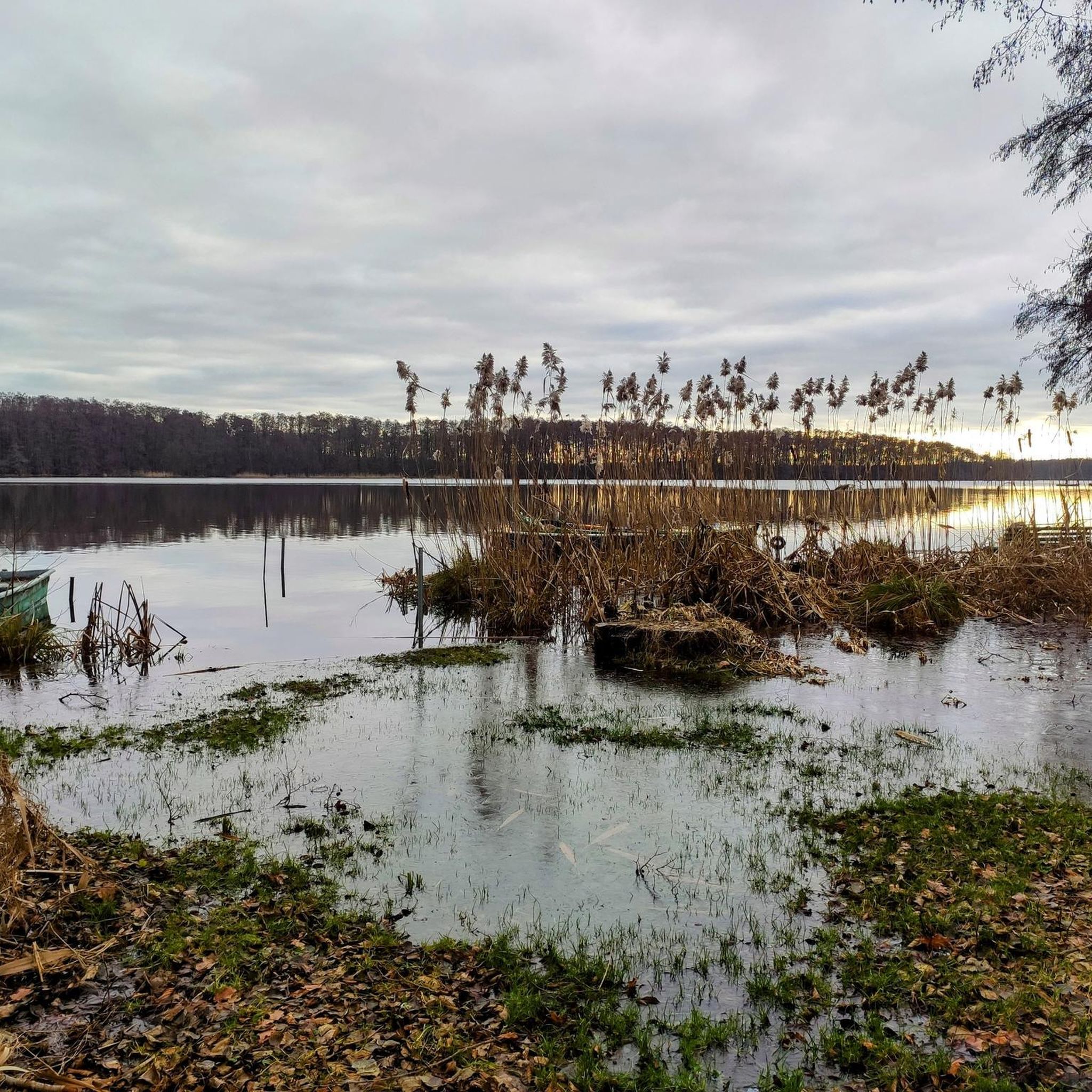
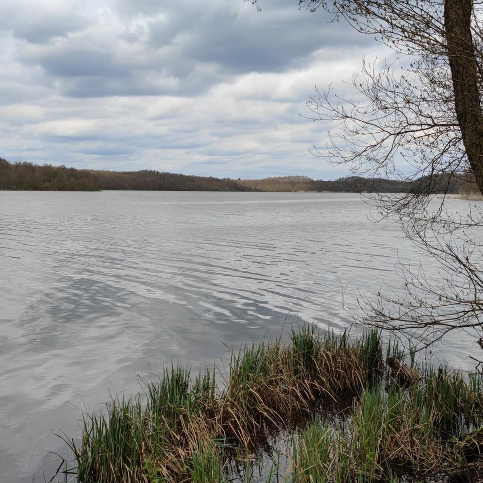
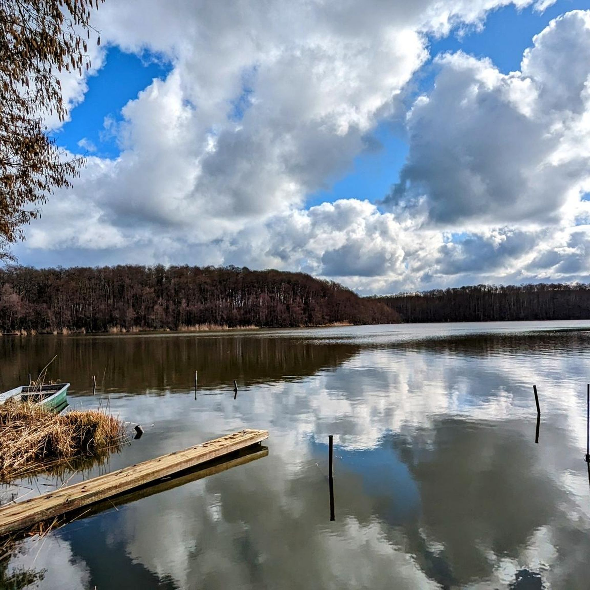
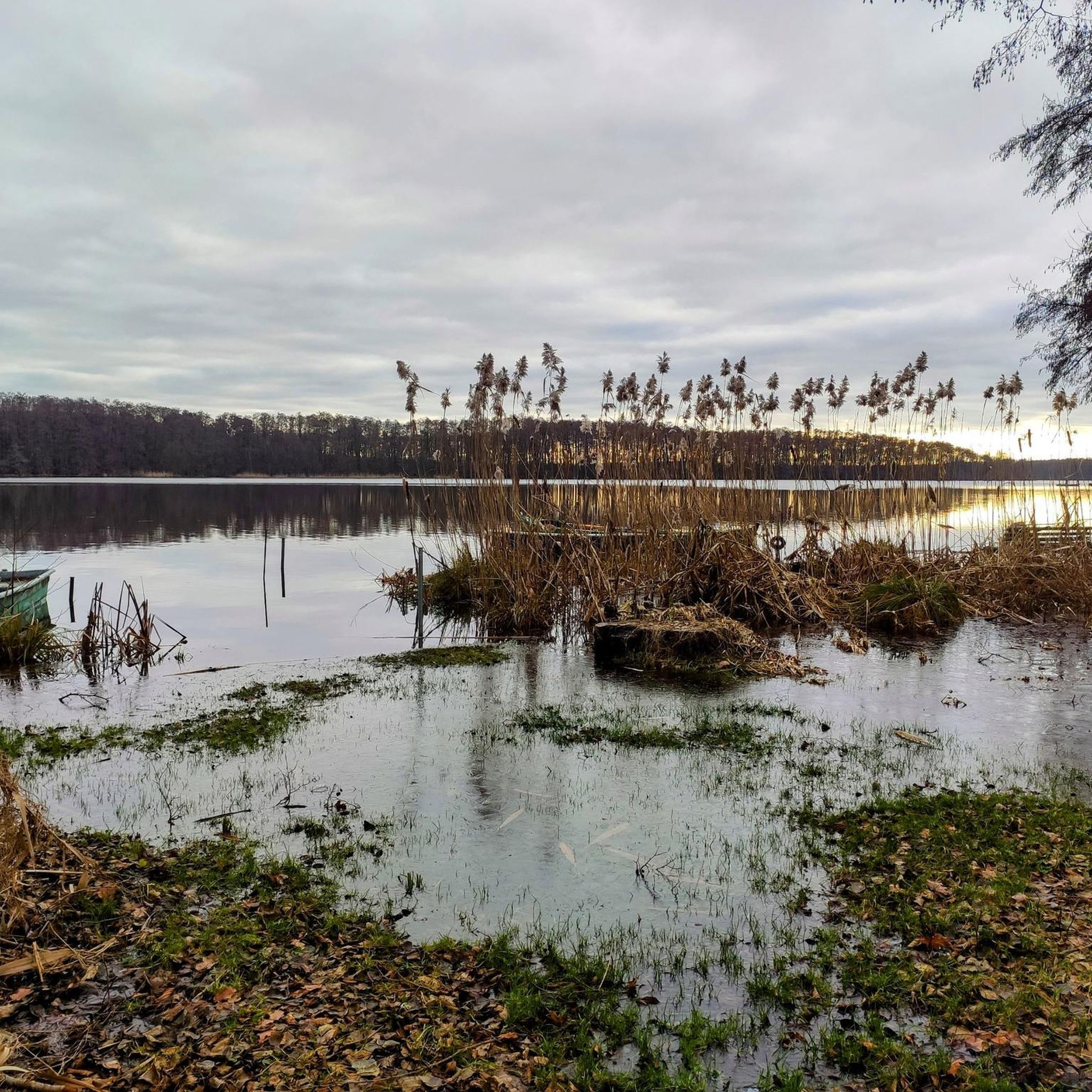
Tips from the Community

Very cozy place on the shore, the path along the lake is very beautiful
0
0

Beautiful views of the lake and the forest.
0
0

The path leads almost completely around the Güldensee. You keep coming back to the shore and have a beautiful view of the lake. 👍
0
0

The southern part of the gravel pit is a nature reserve and driving is not permitted there. However, motor sports are tolerated in the northern part with the large slope. In good weather, you can see the former airship hangar from the northern slope, which now houses Tropical Islands.
1
0


Circular route around the Pätz lakes The circular route around the Pätzer Vordersee and Hintersee is a little over 16 kilometers long. It's a trail for all seasons. The start and finish is at the train station “Bestensee”. The path leads along the main road fromBestensee to Pätzer Vordersee and on to Pätz with its historic village green. The place name comes from the Slavic and means something like sand. From here we continue into pure nature! A hundred years ago, the hillsides on the east bank of the Pätzer Hintersee were almost free of forest. A few junipers bear witness to the sparse heathland that once existed here. The lowlands with wet meadows are preserved with the support of landscape conservation. On the southern shore of the Pätzer Hintersee there are large moor areas that have been secured as a nature reserve. The path now leads north. An idiosyncratic pine forest with crooked trees is called Schweinewinkel. This is where the pigs used to be driven into the forest to the Waldwiede. Walking through the Pätz Hintersee settlement, you return to the starting point at the train station. Source https://www.dahme-heideseen-naturpark.de/themen/routen-touren/rundweg-um-die-paetzer-seen/
0
3
Circular route around the Pätz lakes The circular route around the Pätzer Vordersee and Hintersee is a little over 16 kilometers long. It's a trail for all seasons. The start and finish is at the train station “Bestensee”. The path leads along the main road fromBestensee to Pätzer Vordersee and on to Pätz with its historic village green. The place name comes from the Slavic and means something like sand. From here we continue into pure nature! A hundred years ago, the hillsides on the east bank of the Pätzer Hintersee were almost free of forest. A few junipers bear witness to the sparse heathland that once existed here. The lowlands with wet meadows are preserved with the support of landscape conservation. On the southern shore of the Pätzer Hintersee there are large moor areas that have been secured as a nature reserve. The path now leads north. An idiosyncratic pine forest with crooked trees is called Schweinewinkel. This is where the pigs used to be driven into the forest to the Waldwiede. Walking through the Pätz Hintersee settlement, you return to the starting point at the train station. Source https://www.dahme-heideseen-naturpark.de/themen/routen-touren/rundweg-um-die-paetzer-seen/
0
3

Frequently Asked Questions
How many hiking trails are available around Pätzer Hintersee?
There are over 990 hiking routes in the Pätzer Hintersee area, offering a wide range of options for different skill levels and preferences. The komoot community has explored more than 20,000 of these routes.
What kind of landscapes and terrain can I expect when hiking here?
The Pätzer Hintersee region, part of the Dahme-Heideseen Nature Park, features diverse landscapes. You'll encounter extensive low moors, varied forest types including unique pine forests like the 'Schweinewinkel,' and dry sand grasslands. The area also includes the distinctive Pätzer Kiesgrube (gravel pit) nature reserve, offering unique sandy terrain and views.
Are there easy hiking options for beginners or casual walkers?
Yes, the area offers many easy hiking options. Over 580 of the routes are classified as easy. For example, the Rest Area at Pätzer Lakes – View of Pätzer gravel pit loop from Leue is a 6.4 km trail that takes about 1 hour 39 minutes, leading through forests with views of the gravel pit.
What are some notable natural features or landmarks to look out for?
Hikers can explore the groundwater-fed Pätzer Hintersee itself, and sections along the Pätzer Vordersee. The Pätzer Kiesgrube nature reserve offers distinctive views and unique sandy terrain. You might also encounter the Kahlkopf Summit, a local high point.
Are the hiking trails around Pätzer Hintersee suitable for families with children?
Yes, the tranquil nature and diverse, generally gentle terrain make many trails suitable for families. The region's varied forests and lake shores provide engaging environments for children to explore. Consider easier routes for shorter legs, such as the Rest Area at Pätzer Lakes – View of Pätzer gravel pit loop from Leue.
Can I bring my dog on the hiking trails?
Dogs are generally welcome on the hiking trails around Pätzer Hintersee, as it's a popular area for outdoor activities. However, as the area is part of the Dahme-Heideseen Nature Park and a Natura 2000 protected area, it is important to keep dogs on a leash to protect wildlife and ensure a pleasant experience for all visitors.
Are there any circular hiking routes available?
Yes, circular routes are a popular way to experience the area. A well-known option is the approximately 16.7-kilometer circular trail encompassing both Pätzer Vordersee and Pätzer Hintersee. A shorter moderate option is the Pätzer Hintersee – Pine Forest Trail loop from Pätzer Hintersee, which is about 10.9 km long.
What do other hikers enjoy most about the Pätzer Hintersee area?
The area is highly rated by the komoot community, with an average score of 4.5 stars from over 5,000 reviews. Hikers often praise the diverse landscapes, from low moors and varied forests to the unique sandy areas of the gravel pit, and the tranquil atmosphere around the groundwater-fed lake.
Are there places to eat or rest along the trails?
Yes, you can find various refreshment options ('Einkehrmöglichkeiten') in nearby villages like Pätz and Bestensee, as well as in the Hintersiedlung. These establishments provide comfortable breaks during your hike. The Rest Area at Pätzer Hintersee is also a designated spot for a break.
What is the best time of year to go hiking around Pätzer Hintersee?
The Pätzer Hintersee area is beautiful year-round. Spring brings fresh greenery and blooming flora, while autumn offers vibrant fall colors in the diverse forests. Summer is ideal for combining hiking with lakeside relaxation, and winter can provide serene, quiet walks through snow-dusted landscapes, though some paths might be less accessible.
How can I get to the Pätzer Hintersee hiking trails by public transport?
The region is accessible by public transport, typically involving train connections to nearby towns like Bestensee, followed by local bus services. It's advisable to check current schedules for specific routes and stops that align with your chosen starting point for a hike.
Where can I park my car when visiting Pätzer Hintersee for a hike?
Designated parking areas are available in and around the villages bordering Pätzer Hintersee, such as Pätz and Bestensee. Many popular trailheads, including those near the Pätzer Kiesgrube, also offer parking facilities. Always look for official parking signs.
Most popular routes around Pätzer Hintersee
Most popular attractions around Pätzer Hintersee

Get inspired with the komoot mobile app


Explore more
Browse the best Hikes in other regions.
