The best walks and hikes around Tabernash
4.2
(6)
226
hikers
25
hikes
Hiking trails around Tabernash, Colorado, are situated within the Fraser River valley, offering access to the vast Arapaho National Forest and views of the Continental Divide. The region features a diverse network of trails ranging from riverside walks to mountain ascents. This area is characterized by sweeping mountain vistas and lush forests, providing varied terrain for outdoor exploration.
Best hiking trails around Tabernash
- The most popular hiking route is Ditch Trail, a 1.9 miles (3.1 km) trail that takes…
Last updated: October 2, 2026
20
hikers
3.07km
00:50
50m
20m
The Ditch Trail offers a wonderfully accessible and scenic hike, perfect for a relaxed outing in Fraser, Colorado. You'll follow a historic irrigation ditch, enjoying a mostly flat path that…
5
hikers
3.43km
00:59
100m
80m
Embark on an easy hike along the Strawberry Trail, a route that winds through picturesque meadows and dense spruce and conifer forests. You will experience rolling terrain, crossing over small…

1.26km
00:21
0m
70m
Hike the easy 0.8-mile Fraser River Canyon Trail in Arapaho National Forest, offering gentle river views and a quick outdoor escape.
58
hikers
9.62km
03:03
100m
100m
Hike the moderate 6.0-mile Flume Trail in Arapaho National Forest, gaining 335 feet in 3 hours and 2 minutes.
3
hikers
7.71km
02:00
50m
50m
Hike the easy 4.8-mile Fraser River Trail in Colorado, connecting Fraser and Winter Park with scenic views and wildlife spotting.
Get access to more routes and recommendations from other explorers.
Already have an account?
Our route recommendations are based on thousands of hikes, rides, and runs completed by other people on komoot.
Start today with a free account
Your next adventure awaits.
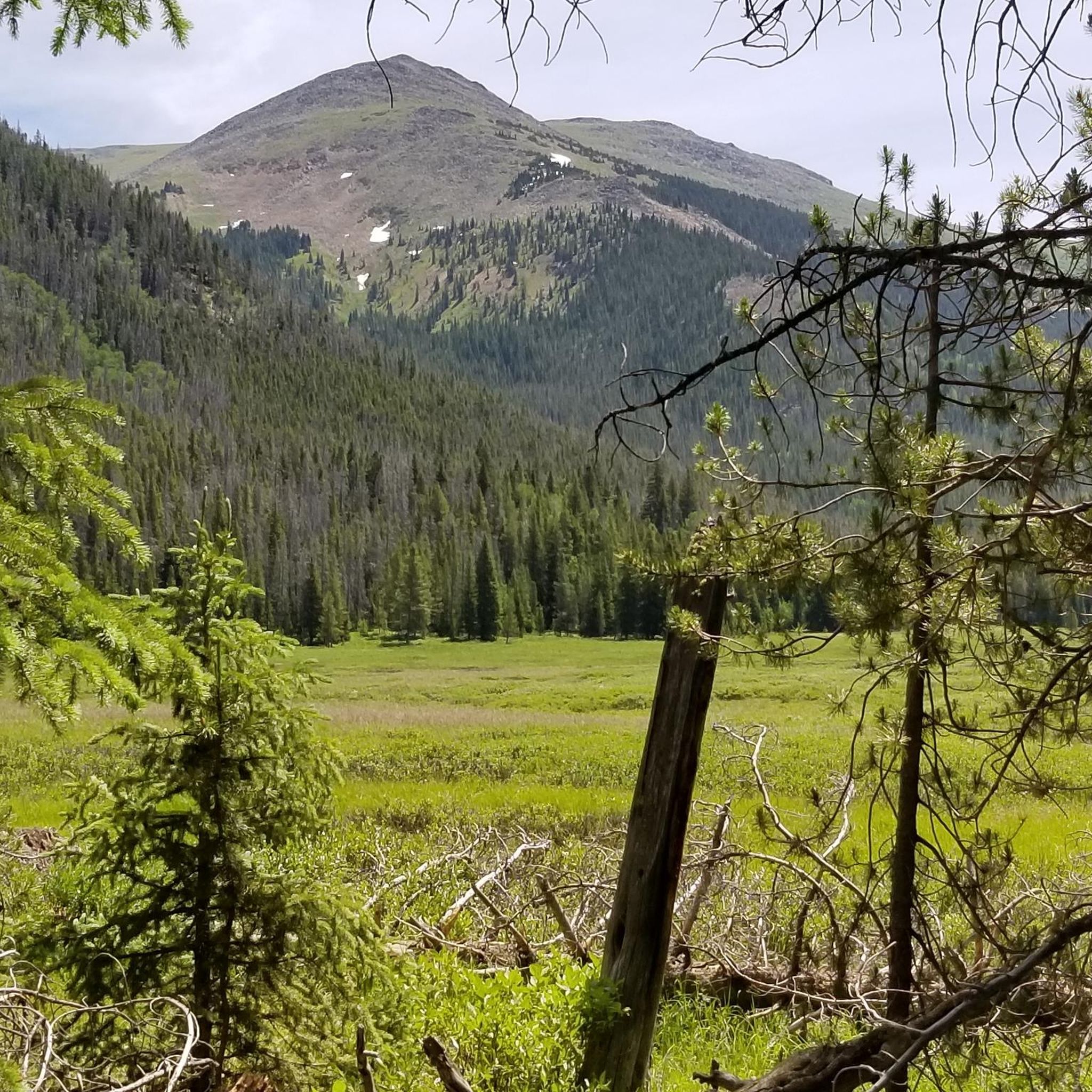
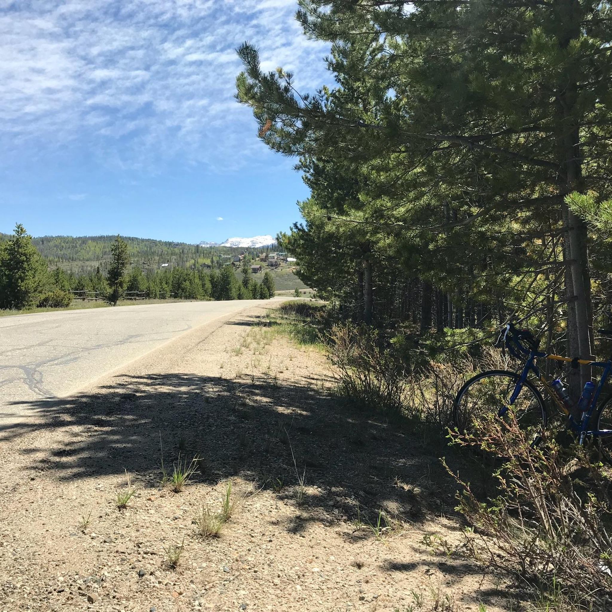

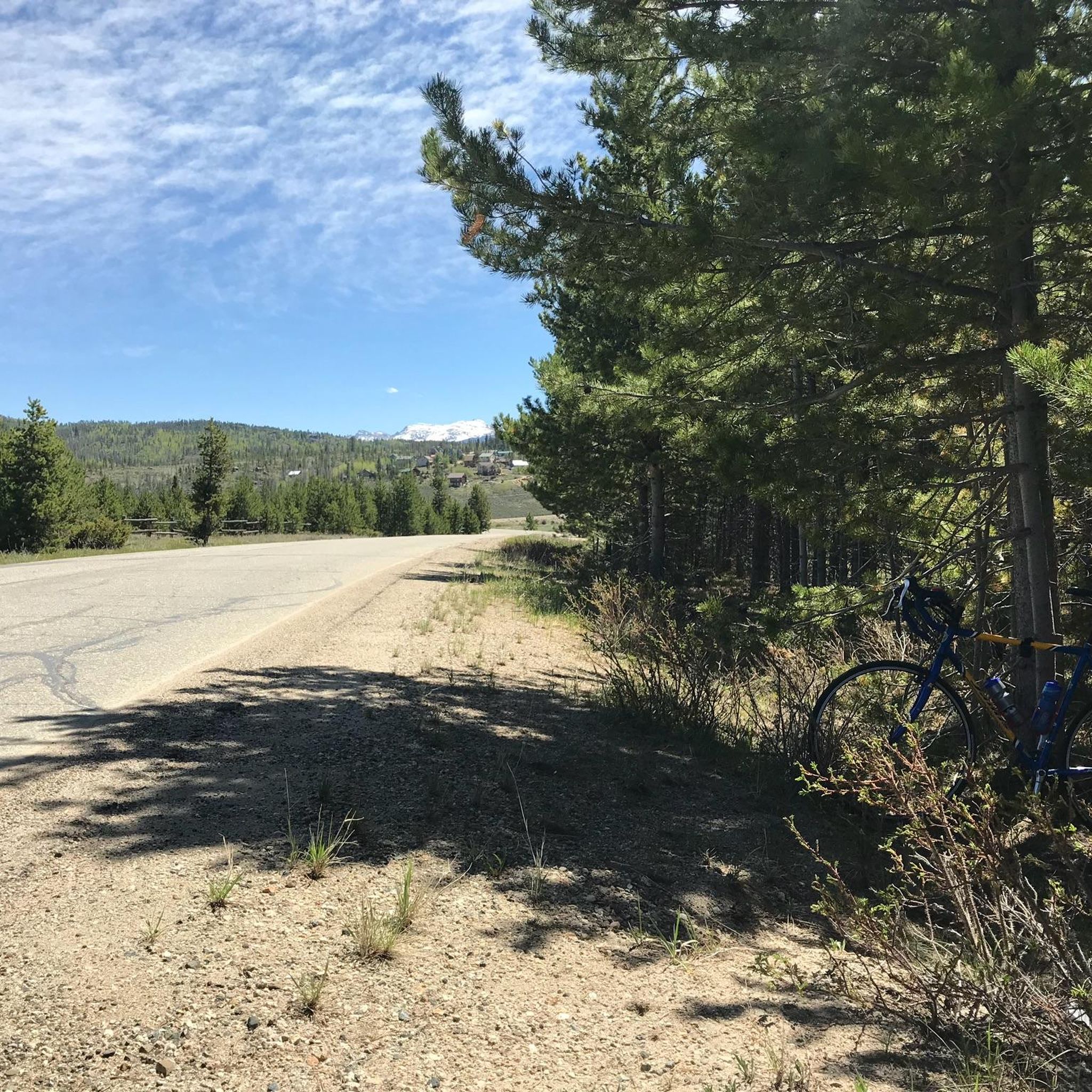

Tips from the Community

Chainsaw Trail links the Lower Creekside parking area with Flume Trail and Creekside Loop Trail, amongst others. It's a lovely trail close to Fraser, offering supreme access to Byers Peak Wilderness and Arapaho National Forest.
0
0
Chainsaw Trail links the Lower Creeekside parking area with Flume Trail and Creekside Loop Trail, amongst others. It's a lovely trail close to Fraser, offering supreme access to Byers Peak Wilderness and Arapaho National Forest.
0
0
Flume Trail is a 2-mile out-and-back trail between Fraser and Morse Mountain in Arapaho National Forest. The trail can be mst easily reached via Chainsaw Trail beginning at the Lower Creekside parking area. If you're looking for a beautiful and short nature escape close to town, this is one to try out!
0
0

Fraser River Trail has a total length of 6.3 miles between the town of Fraser and Winter Park. The marked segment follows the Fraser River (as the name indicates) and runs parallel to the Highway 40. The trail offers the possibility to connect the two towns without having to use a car and instead gives you the opportunity to enjoy beautiful nature, great views of the surrounding mountains and maybe even some wildlife encounters (beavers, moose, deer, birds...). Summed up: the perfect trail for families!
0
0
Frequently Asked Questions
How many hiking trails are available around Tabernash?
Tabernash offers access to over 19 hiking trails, ranging from easy riverside walks to more challenging mountain ascents. The area is a gateway to the vast Arapaho National Forest, providing a diverse network of paths for all skill levels.
Are there any easy, family-friendly hikes in Tabernash?
Yes, Tabernash has several easy, family-friendly options. The Ditch Trail is a gentle 1.9-mile path, and the Blue Sky Loop offers scenic views over 3.9 miles. Other noted family-friendly trails include the Creekside Loop Hike and Jim Creek Trail.
What are some challenging hikes near Tabernash?
For those seeking a challenge, local favorites include the ascent to Byers Peak and the hike to Columbine Lake. Other moderate to strenuous options in the area are the Spruce Creek to Deadhorse Loop Trail and Lake Dorothy.
Can I find loop hikes around Tabernash?
Yes, there are several loop options. The Blue Sky Loop is an easy 3.9-mile path, and for a slightly longer option, consider the Sunset Pink, Fire Cracker, Leap Frog, and Take D'Leap Loop, which covers about 3.3 miles.
What kind of natural features or landmarks can I expect to see while hiking?
Hiking around Tabernash offers stunning mountain vistas, including views of the Continental Divide. You'll also encounter lush forests, the picturesque Fraser River valley, and access to the vast Arapaho National Forest. Specific trails like the Fraser River Trail provide riverside scenery.
Are there any dog-friendly trails in the Tabernash area?
Many trails in the Arapaho National Forest and surrounding areas near Tabernash are dog-friendly, though leash laws and specific regulations may apply. Always check local signage and be prepared to clean up after your pet. The Fraser River Trail is generally a good option for walks with dogs.
What is the best time of year to go hiking in Tabernash?
The best time for hiking in Tabernash is typically from late spring through early fall (May to October) when trails are clear of snow and the weather is pleasant. Fall offers spectacular autumn foliage. Some trails may be accessible for winter hiking or snowshoeing, but conditions can vary greatly.
Are there less crowded hiking options near Tabernash?
Tabernash itself is known for being less crowded than more well-known Colorado destinations. For a peaceful experience, the High Lonesome Trailhead offers a flat logging road along a quiet stream where encounters with others are less common. The Strawberry Trail to High Lonesome Hut is another option that leads through forested areas.
What do other hikers say about the trails in Tabernash?
The trails around Tabernash are highly rated by the komoot community, with an average score of 3.5 stars from 2 reviews. Hikers often praise the diverse terrain, from easy paths to challenging ascents, and the stunning mountain vistas, noting the area's natural beauty and varied opportunities for outdoor exploration.
Is there parking available at trailheads in Tabernash?
Most trailheads in and around Tabernash, especially those within the Arapaho National Forest, offer designated parking areas. It's always advisable to arrive early during peak seasons to secure a spot, particularly for popular trails. Specific parking details can often be found on individual trail pages or local forest service websites.
Are there any riverside walks in Tabernash?
Yes, the Fraser River valley offers scenic riverside walks. The Fraser River Canyon Trail is an easy 1.2-mile out-and-back option located just a few minutes north of town, providing pleasant views along the river.
Most popular attractions around Tabernash

Get inspired with the komoot mobile app


Explore more
Browse the best Hikes in other regions.
