The best running trails around South Woodstock
24
runners
8
runs
Jogging routes around South Woodstock, Vermont, are set amidst a landscape of rolling hills, dense forests, and serene brooks. The region's topography provides varied terrain, from gentle slopes to more challenging ascents, with prominent features like Mount Tom and Mount Peg offering elevated views. The Ottauquechee River also provides flatter, less strenuous running options. This diverse natural environment makes South Woodstock an appealing destination for runners seeking a range of experiences.
Best jogging routes around South Woodstock
- The most popular…
Last updated: September 30, 2026
6
runners
7.74km
00:56
50m
50m
Moderate run. Good fitness required. Mostly paved surfaces. Suitable for all skill levels.
5
runners
5.04km
00:36
30m
30m
Moderate run. Good fitness required. Mostly paved surfaces. Suitable for all skill levels.

6
runners
14.1km
01:43
160m
160m
Moderate run. Good fitness required. Mostly paved surfaces. Suitable for all skill levels.
3
runners
8.07km
00:50
60m
60m
Moderate run. Good fitness required. Mostly paved surfaces. Suitable for all skill levels.
4
runners
11.6km
01:24
70m
70m
Moderate run. Good fitness required. Mostly paved surfaces. Suitable for all skill levels.
Get access to more routes and recommendations from other explorers.
Already have an account?
Our route recommendations are based on thousands of hikes, rides, and runs completed by other people on komoot.
Start today with a free account
Your next adventure awaits.


Tips from the Community

The Airline State Park Trail is divided into sections, and the northern section spans 21 miles from Windham to Putnam, making it a popular rail trail among hikers, runners, and bikers.
0
0

The East Coast Greenway is a paved multi-use path that passes through 15 states and is over 3,000 miles long from Maine to Florida.
0
0
The Airline State Park Trail is divided into sections, and the northern section spans 21 miles from Windham to Putnam, making it a popular rail trail among hikers, runners, and bikers.
1
0

Explore a 200-acre lake with 24 campsites, a boat launch, picnic shelters, a disc golf course, and plenty of trails. Join the Rangers for a guided nature walk during Walktober and take in the start of fall foliage while learning some cool trail facts!
1
0
Spanning 239 acres, this lake is great for paddling and fishing. The dam was built by the US Army Corps of Engineers in 1965, its capacity stands at 342 million gallons of flood water.
1
0
Explore a 200-acre lake with 24 campsites, a boat launch, picnic shelters, a disc golf course, and plenty of trails. Join the Rangers for a guided nature walk during Walktober and take in the start of fall foliage while learning some cool trail facts!
0
0
Frequently Asked Questions
How many running routes are available in the South Woodstock area?
Komoot features nearly 10 diverse running routes around South Woodstock, Vermont. These trails cater to various preferences, from moderate loops to more challenging ascents through the region's scenic landscapes.
Are there any easy jogging paths suitable for beginners in South Woodstock?
While many of the listed routes are moderate, South Woodstock does offer easier options. The West Thompson Lake loop from Mechanicsville is a moderate 3.1-mile path that provides a less strenuous experience. Additionally, the Faulkner Trail on Mount Tom is known for being suitable for all skill levels, and the Eshqua Bog Natural Area features a leisurely, flat boardwalk path.
What kind of terrain can I expect on the running trails in South Woodstock?
Jogging routes in South Woodstock offer a varied terrain, from gentle slopes and mostly paved surfaces, such as sections of the West Thompson Dam loop or the East Coast Greenway loop, to more challenging ascents through rolling hills and dense forests. You'll find paths alongside babbling brooks, and trails leading up to scenic viewpoints like Mount Tom and Mount Peg.
Are there any long-distance running options for experienced runners?
Yes, for those seeking a longer run, the East Coast Greenway loop from Mashamoquet Brook State Park is a moderate 8.8-mile (14.1 km) path. For experienced runners looking for a significant challenge and a backcountry experience, sections of the renowned Appalachian Trail are also accessible within the region.
What are some scenic viewpoints or natural landmarks I can see while running?
South Woodstock's trails offer numerous scenic spots. You can enjoy views from Mount Tom and Mount Peg, or run alongside the tranquil Ottauquechee River. The Cargill Falls Reservoir and the West Thompson Dam are also notable landmarks along some routes. The Marsh-Billings-Rockefeller National Historical Park provides access to The Pogue and beautiful forest trails.
Are the running trails in South Woodstock dog-friendly?
Many trails in the South Woodstock area are dog-friendly, but it's always best to check specific trail regulations before heading out. Generally, dogs are welcome on leash in most outdoor recreational areas, including many parts of the Marsh-Billings-Rockefeller National Historical Park and local public footpaths like the Upwey Farm Trail.
Are there family-friendly jogging routes in South Woodstock?
Yes, several routes are suitable for families. The Faulkner Trail on Mount Tom is considered easy and accessible for all skill levels. The Eshqua Bog Natural Area offers a short, flat boardwalk loop through wetlands, which is perfect for a leisurely family jog. For slightly longer, paved options, sections of the West Thompson Dam and East Coast Greenway loops can be suitable.
What is the best time of year for jogging in South Woodstock, Vermont?
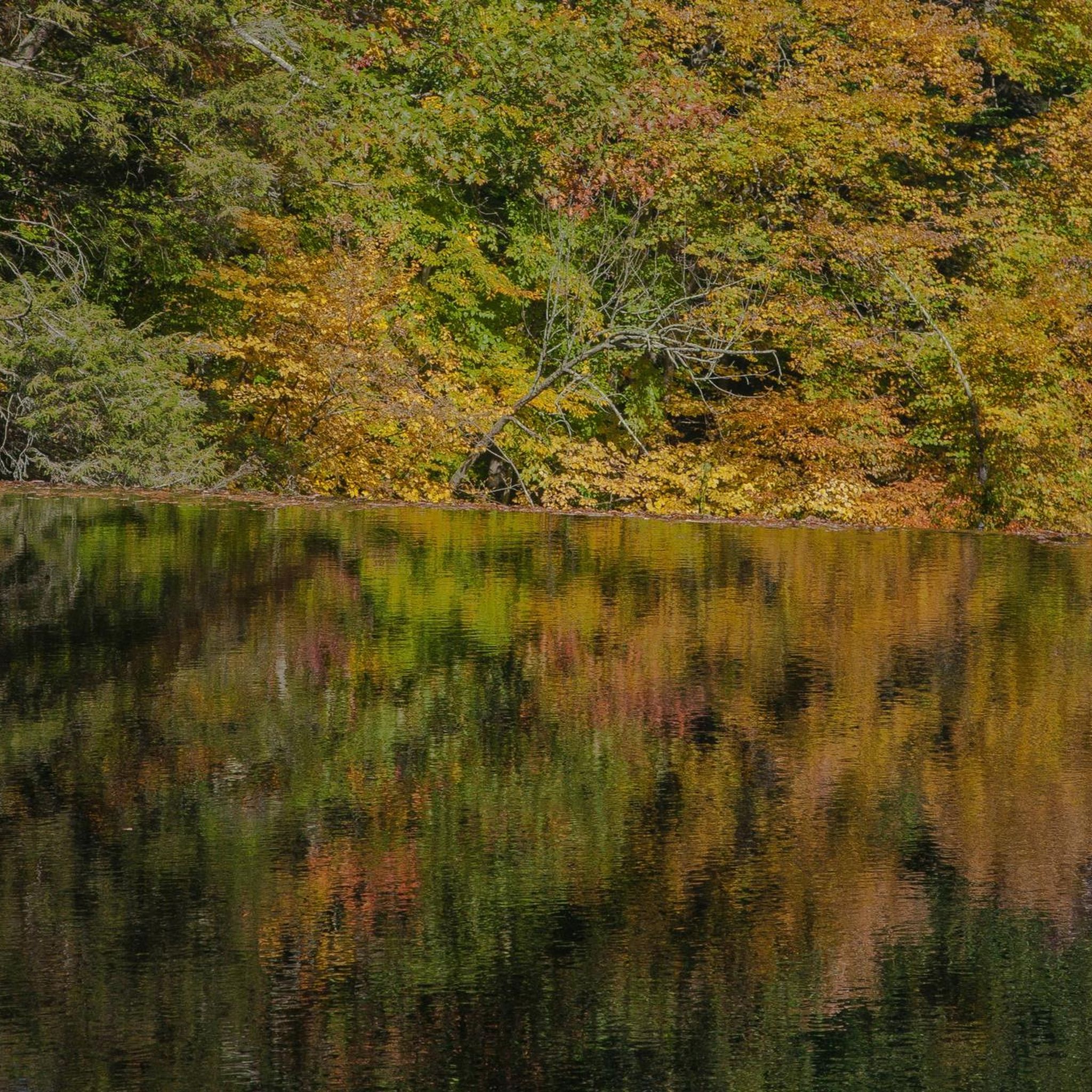
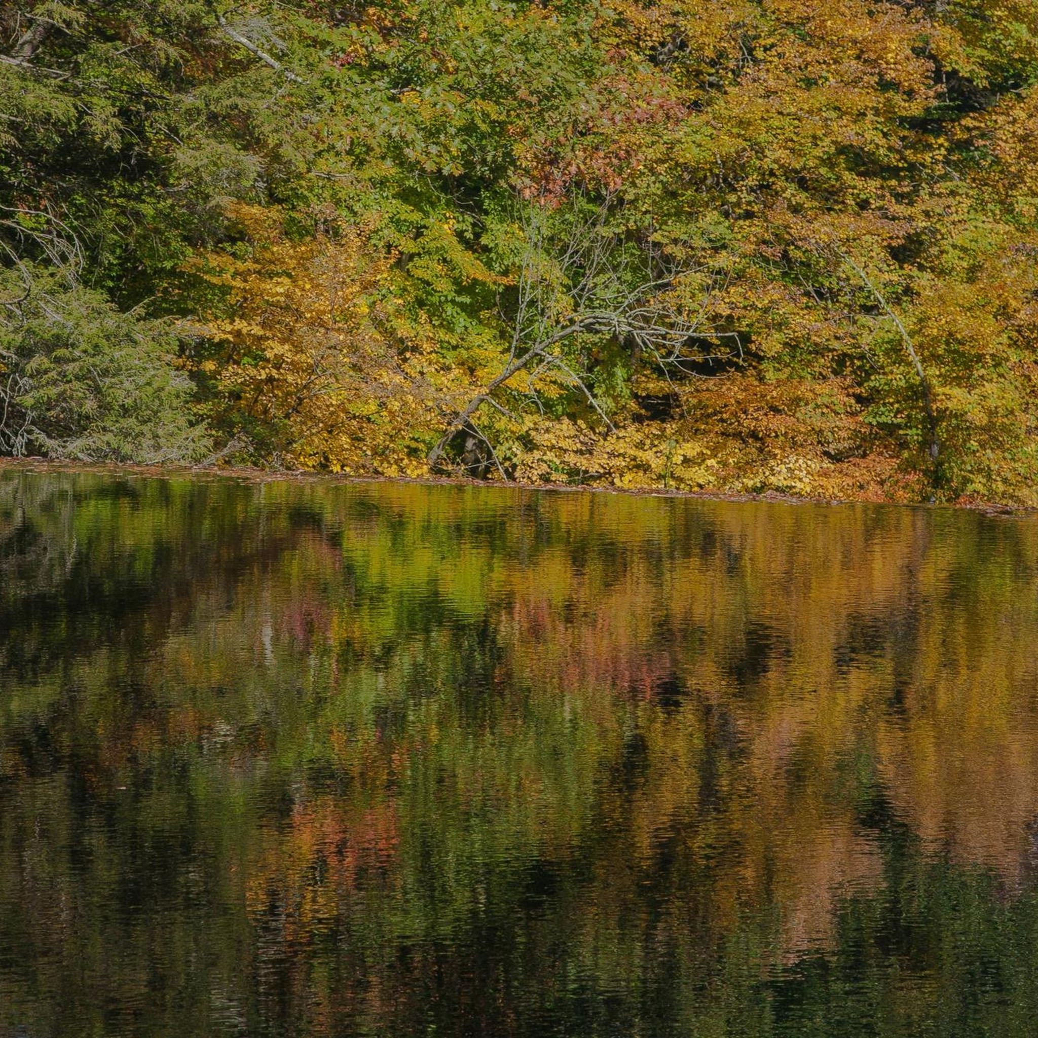
The spring, summer, and fall seasons generally offer the best conditions for jogging in South Woodstock. Spring brings lush greenery, summer provides warm weather (with shaded trails available), and fall showcases stunning foliage. Winter running is possible, but trails may be covered in snow and ice, requiring appropriate gear and caution.
Is parking available at the trailheads for running routes?
Parking is generally available at or near the trailheads for many popular running routes in South Woodstock. For example, access points for trails within the Marsh-Billings-Rockefeller National Historical Park and areas around the West Thompson Dam typically have designated parking. It's advisable to check specific route details for precise parking information.
Are there any circular running routes in the area?
Yes, many of the running routes in South Woodstock are designed as loops, offering a continuous circular experience. Examples include the West Thompson Dam – West Thompson Dam loop from Mechanicsville, the East Coast Greenway loop from Mashamoquet Brook State Park, and the Running loop from Woodstock.
What do other runners enjoy most about jogging in South Woodstock?
Runners frequently praise the diverse natural beauty and varied terrain of South Woodstock. The combination of rolling hills, dense forests, and serene river paths provides a refreshing experience. Many appreciate the well-maintained trail networks and the opportunity to enjoy scenic views from elevated points like Mount Tom and Mount Peg.
Most popular attractions around South Woodstock

Get inspired with the komoot mobile app


Explore more
Browse the best Running Trails & Routes in other regions.
