The best walks and hikes around Amtsee
4.6
(2712)
10,153
hikers
460
hikes
Hiking around Amtsee offers a variety of trails centered around this lake in Barnim. The region is characterized by its lake views and surrounding forests, providing a natural setting for outdoor activities. Trails often feature gentle terrain, making them accessible for different hiking abilities. The area provides opportunities to explore the natural landscape of Barnim.
Best hiking trails around Amtsee
- The most popular hiking route is View of the Amtssee – Viewpoint at Amtssee loop from Chorin, a 7.4 miles (12.0 km) trail that takes 3 hours 10 minutes to complete, offering panoramic views of the lake.
- Another top favourite among local hikers is Brodowin Village Church – View of the Amtssee loop from Chorin, a moderate 11.2 miles (18.0 km) path. This route leads through varied landscapes, including forested sections and open areas.
- Local hikers also love the View of the Amtssee – Amtssee (Amts Lake) loop from Chorin, a 1.7 miles (2.7 km) trail leading through lakeside areas, often completed in about 42 minutes.
- Hiking around Amtsee is defined by lake circuits, wooded paths, and gentle terrain. The network offers options for different ability levels, from easy strolls to moderate excursions.
- The routes in Amtsee are highly rated by the komoot community with an average score of 4.6 stars from over 2300 reviews. More than 9500 hikers have used komoot to explore Amtsee's varied terrain.
Last updated: July 1, 2026
4.9
(7)
33
hikers
11.8km
03:07
120m
120m
Moderate hike. Good fitness required. Easily-accessible paths. Suitable for all skill levels.
5.0
(4)
16
hikers
17.9km
04:41
130m
130m
Moderate hike. Good fitness required. Easily-accessible paths. Suitable for all skill levels.

Sign up for free
4.5
(2)
13
hikers
8.53km
02:17
100m
100m
Moderate hike. Good fitness required. Easily-accessible paths. Suitable for all skill levels.
3.5
(2)
12
hikers
13.0km
03:27
130m
130m
Moderate hike. Good fitness required. Easily-accessible paths. Suitable for all skill levels.
4.0
(2)
8
hikers
9km
02:21
70m
70m
Moderate hike. Good fitness required. Easily-accessible paths. Suitable for all skill levels.
Get access to more routes and recommendations from other explorers.
Sign up for free
Already have an account?
Our route recommendations are based on thousands of hikes, rides, and runs completed by other people on komoot.
Start today with a free account
Your next adventure awaits.
Login or Signup
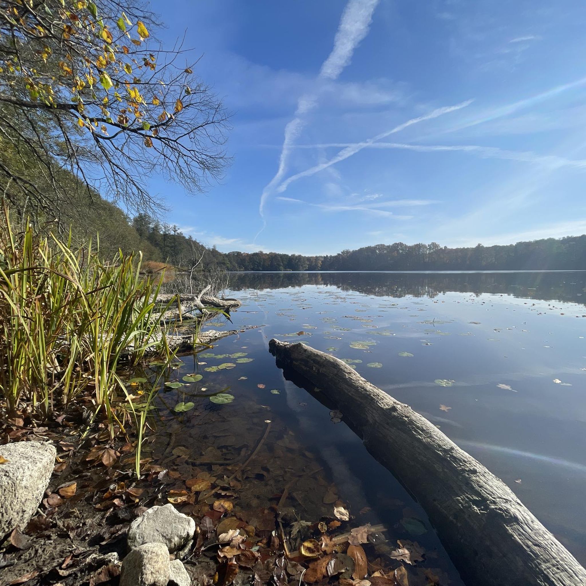
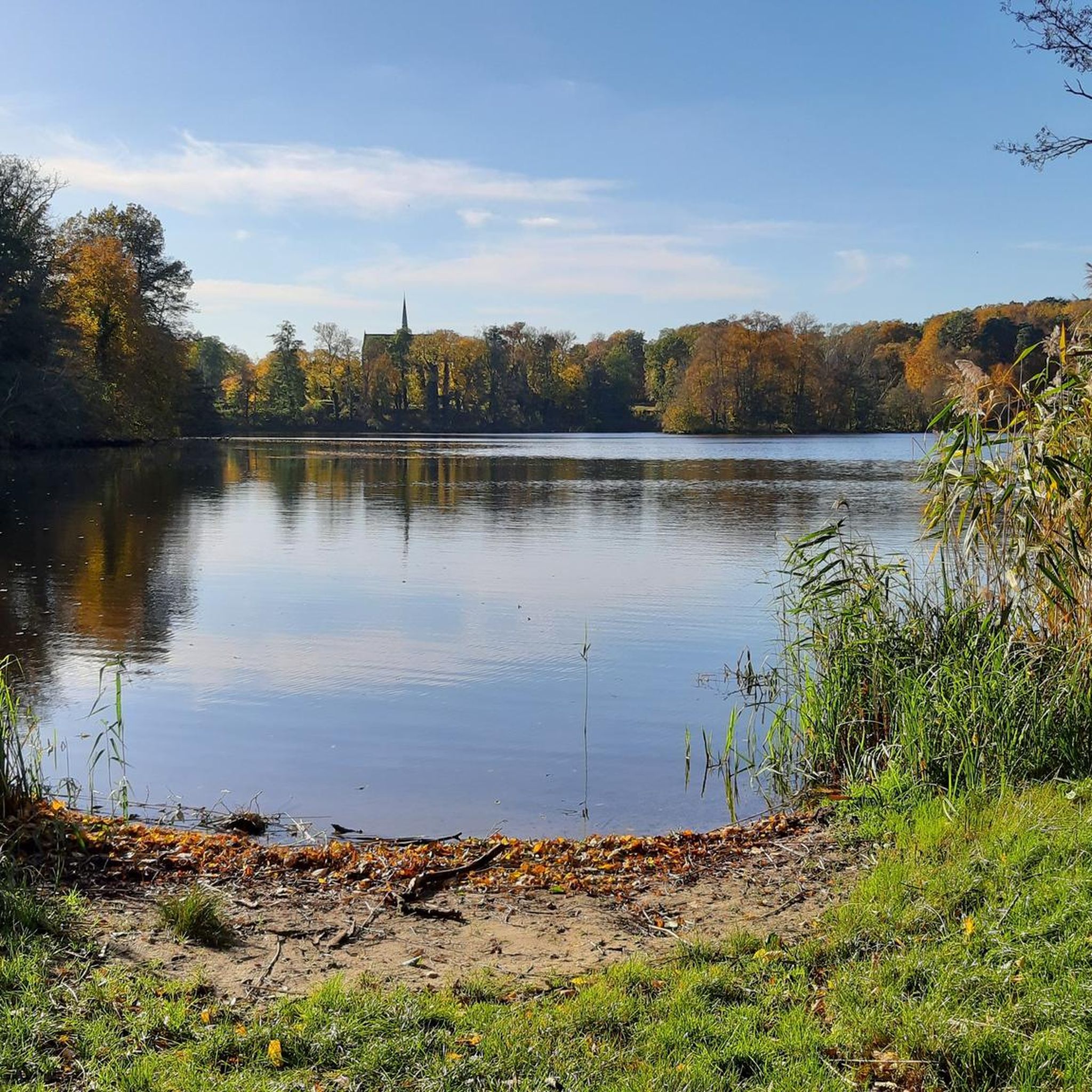
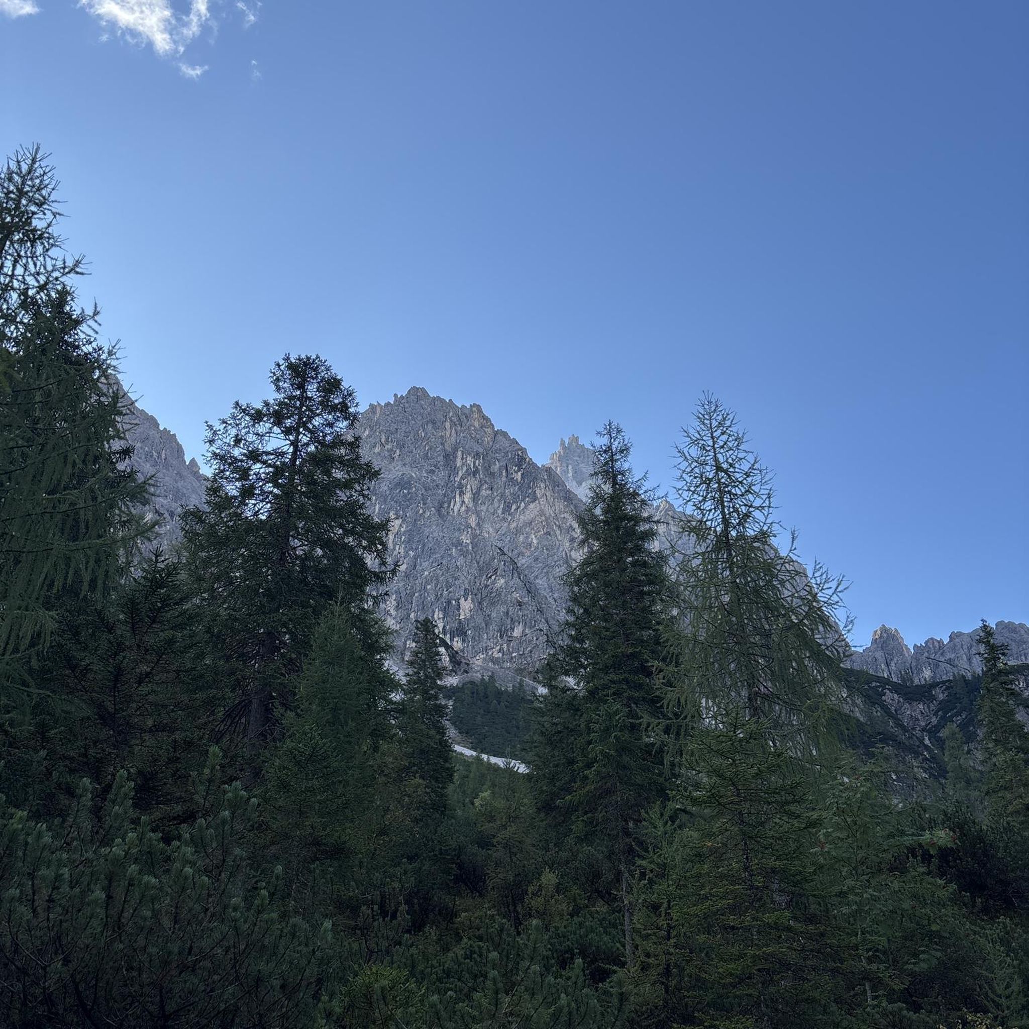
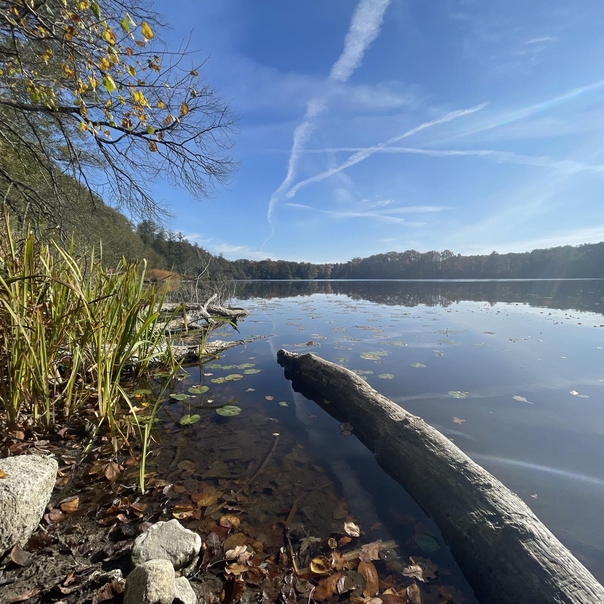
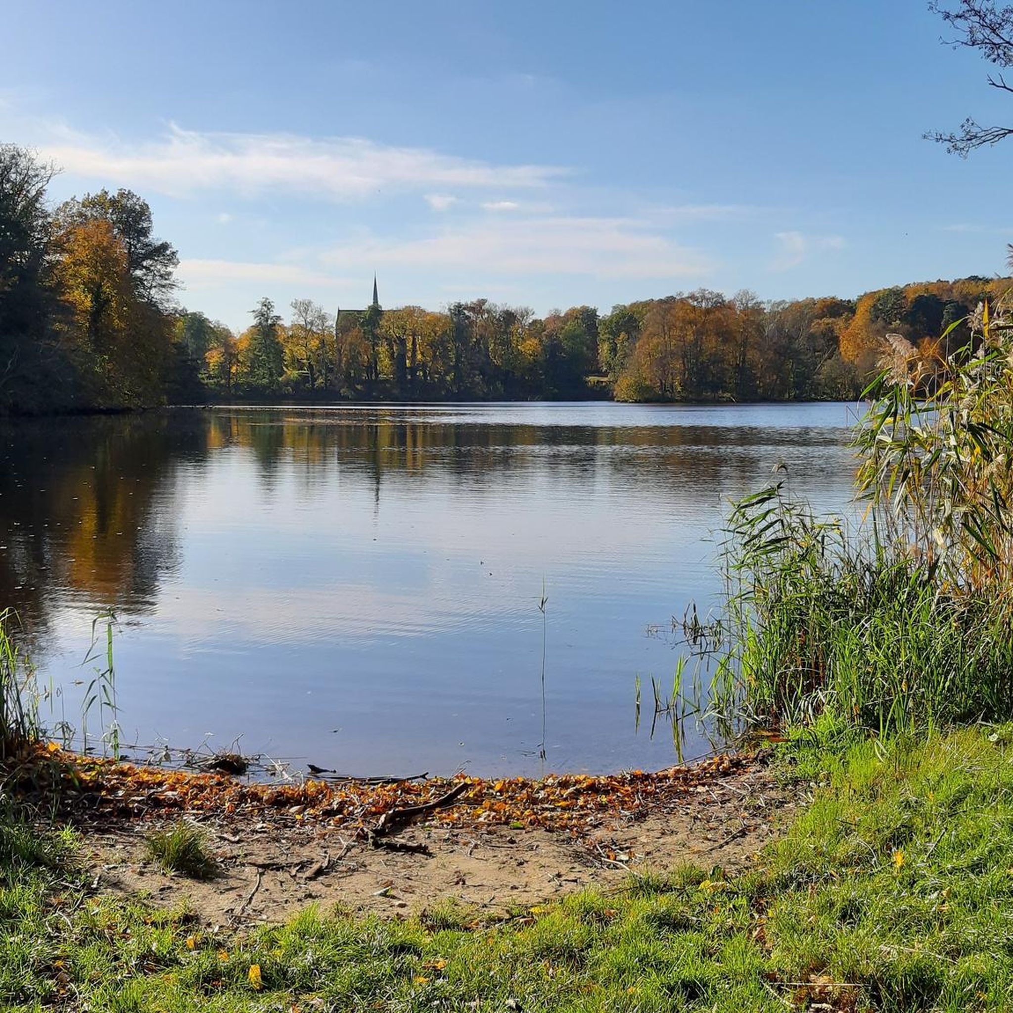
Other adventures around Amtsee

Tips from the Community

Everything dry, no ford currently present
0
0

During our tour, cattle grazed in the meadows, creating an idyllic scene.
0
0

The area surrounding Lake Amtssee is characterized by meadows and forests, making it ideal for walks and hikes, such as the lakeside trail, which runs directly along the lake and emphasizes the proximity to the monastery. The region is also a popular destination for nature lovers and hikers, with views from Kleiner Rummelsberg or along the Nettelgraben offering unique perspectives.
0
0
The area surrounding Lake Amtssee is characterized by meadows and forests, making it ideal for walks and hikes, such as the lakeside trail, which runs directly along the lake and emphasizes the proximity to the monastery. The region is also a popular destination for nature lovers and hikers, with views from Kleiner Rummelsberg or along the Nettelgraben offering unique perspectives.
0
1
There are several hiking trails in the area, including a 1.9-kilometer, easy loop around the lake, which takes about 30 minutes and features botanical highlights and forest sections. Longer walks are also possible, such as the 3-kilometer loop around the Amtssee lake, right next to the monastery.
0
0
The monastery cemetery, located immediately north of the monastery church, is one of the most important collections of forestry burial grounds in Germany and has served as a burial site since 1281. It contains approximately 50 graves, more than half of which belong to foresters, and is also the final resting place of notables such as the architect Max Taut, who was buried there in 1967.
1
1
The Nettelgraben was created in the 13th century by the Cistercian monks of Chorin Monastery to drain Lake Parstein via Lake Weißer See and Lake Chorin Amtssee with the Ragöse River. The ditch originally served to supply the monastery and the monastery mills with sufficient water, as the natural outflow of Lake Chorin was insufficient.
0
0

A truly magical place deep in the forest! This small stream enchants with its milky turquoise water, gently flowing between fallen tree trunks and old stumps. The unique coloration of the water, created by natural minerals, gives this hidden body of water an almost unreal aura. This spot is particularly atmospheric in soft light in the morning or evening, when the mystical forest atmosphere with the dense tree cover creates a fairytale backdrop. A perfect place to linger and relax, ideal for long exposures and nature photography.
0
0
Frequently Asked Questions
How many hiking trails are available around Amtsee?
There are over 460 hiking routes around Amtsee, catering to various preferences. This includes more than 210 easy trails, over 210 moderate options, and about 30 more challenging routes.
What kind of landscapes can I expect to see while hiking near Amtsee?
The region around Amtsee is characterized by its beautiful lake views and surrounding forests. Hikers can enjoy varied terrain, including wooded sections and open areas, offering a natural setting for outdoor activities.
Are there any easy hiking trails suitable for beginners or families around Amtsee?
Yes, Amtsee offers many easy trails. For example, the View of the Amtssee – Amtssee (Amts Lake) loop from Chorin is a short 1.7-mile (2.7 km) trail that leads through lakeside areas and is often completed in about 42 minutes, making it ideal for a leisurely stroll.
What do other hikers enjoy most about hiking in Amtsee?
The area is highly rated by the komoot community, with an average score of 4.6 stars from over 2300 reviews. Hikers often praise the diverse terrain, the scenic lake views, and the well-maintained paths that make exploring the natural landscape enjoyable.
Are there any circular walks around Amtsee?
Yes, many routes around Amtsee are designed as circular walks. A popular option is the View of the Amtssee – Viewpoint at Amtssee loop from Chorin, which is 7.4 miles (12.0 km) long and offers panoramic views of the lake.
What are some notable landmarks or points of interest to see near Amtsee?
Hikers can explore several interesting spots. The Amtssee (Amts Lake) itself is a central feature, and you can find excellent vantage points like the View of the Amtssee. There are also historical sites such as the Historic Resin Harvesting Trees in Schorfheide-Chorin.
Are there any moderate trails for a longer hike around Amtsee?
For a moderate, longer hike, consider the Brodowin Village Church – View of the Amtssee loop from Chorin. This 11.2-mile (18.0 km) path leads through varied landscapes, including forested sections and open areas, offering a more extended exploration of the region.
Can I find places to rest or have a picnic along the trails?
Yes, there are facilities available. For instance, you might come across a Picnic Shelter by the Lake in Schorfheide-Chorin, providing a convenient spot to take a break and enjoy the scenery.
What is the typical duration for a moderate hike in Amtsee?
Moderate hikes vary in length and duration. For example, the View of the Amtssee – Viewpoint at Amtssee loop from Chorin typically takes around 3 hours and 10 minutes to complete, while the Chorin Village Church – Stabhüttenbrücher loop from Chorin is a bit longer, taking approximately 3 hours and 28 minutes.
Are there any trails that offer views of the Amtssee from different perspectives?
Absolutely. Many trails provide diverse views of the lake. You can find specific viewpoints like the View of Amtssee from the Former Ice Cellar, offering unique perspectives of the water and surrounding landscape.
What is the general difficulty level of hikes around Amtsee?
Hiking around Amtsee is generally accessible, with a good mix of easy and moderate trails. The terrain is often gentle, making it suitable for different hiking abilities, though some routes do offer more challenging sections.
Most popular routes around Amtsee
Most popular attractions around Amtsee

Get inspired with the komoot mobile app


Explore more
Browse the best Hikes in other regions.
