The best mountain hikes around Happurger Stausee
4.8
(133)
607
hikers
15
hikes
Mountaineering around Happurger Stausee features routes that navigate through varied terrain, including dense woodlands, rocky outcrops, and scenic views of the Happurger Lake and Reservoir. The region is characterized by its geological formations, offering ascents and descents through forested areas and along water bodies. These mountaineering routes often include sections with significant elevation gain, providing challenging experiences for those seeking advanced trails.
Best mountaineering routes around Happurger Stausee
- The most popular mountaineering route is Happurger Lake – Happurg Reservoir loop…
Last updated: October 9, 2026
8
hikers
6.34km
01:59
210m
210m
Hard mountaineering route. Great for any fitness level. Sure-footedness, sturdy shoes and alpine experience required.
7
hikers
7.17km
02:12
220m
220m
Hard mountaineering route. Good fitness required. Sure-footedness, sturdy shoes and alpine experience required.

5.0
(2)
11
hikers
Moderate mountaineering route. Good fitness required. Easily-accessible paths. Suitable for all skill levels.
4.7
(28)
108
hikers
7.03km
02:12
210m
210m
Hard mountaineering route. Good fitness required. Sure-footedness, sturdy shoes and alpine experience required.
4.8
(26)
241
hikers
4.07km
01:21
110m
110m
Hard mountaineering route. Great for any fitness level. Sure-footedness, sturdy shoes and alpine experience required.
Get access to more routes and recommendations from other explorers.
Already have an account?
Our route recommendations are based on thousands of hikes, rides, and runs completed by other people on komoot.
Start today with a free account
Your next adventure awaits.
Popular around Happurger Stausee
Gentle hills, rivers & forests – cycling in Germany’s Nuremberg Land
The most beautiful swimming lakes around Nuremberg
Road Cycling Routes around Happurger Stausee
Running Trails around Happurger Stausee
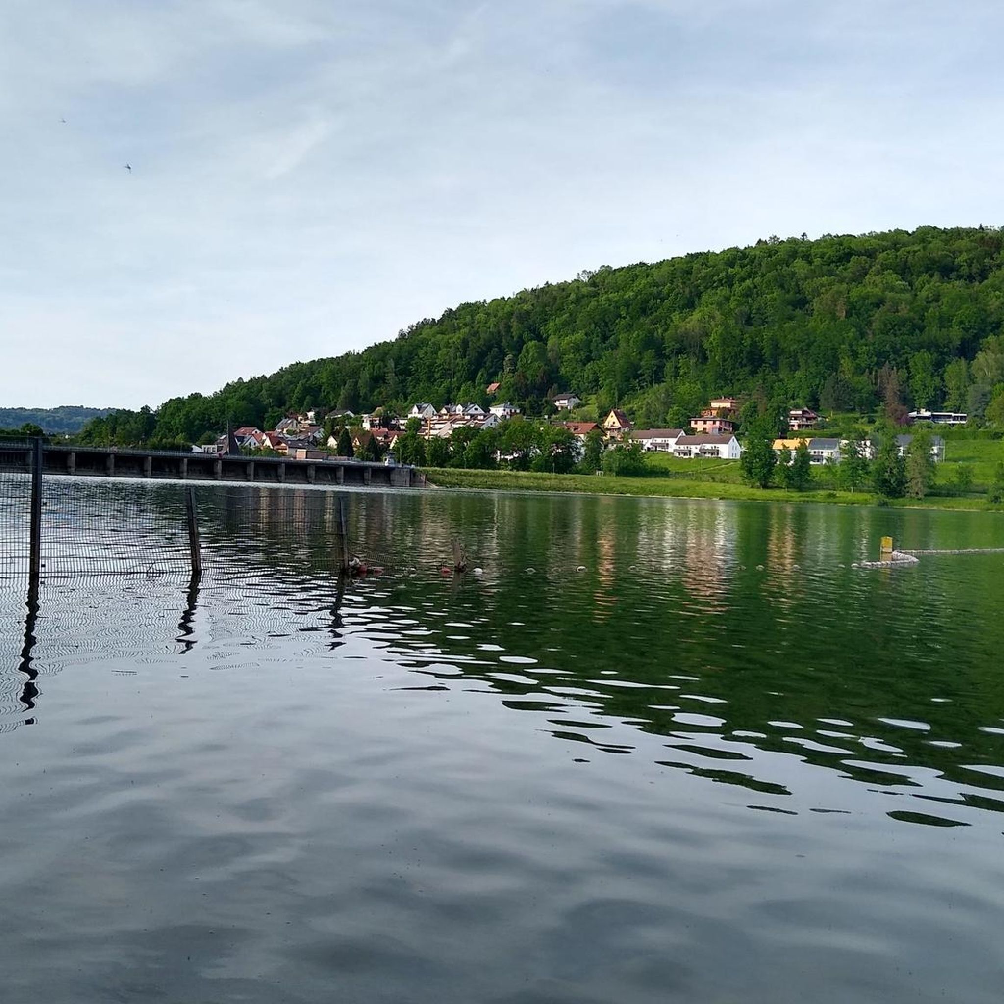
Hiking around Happurger Stausee
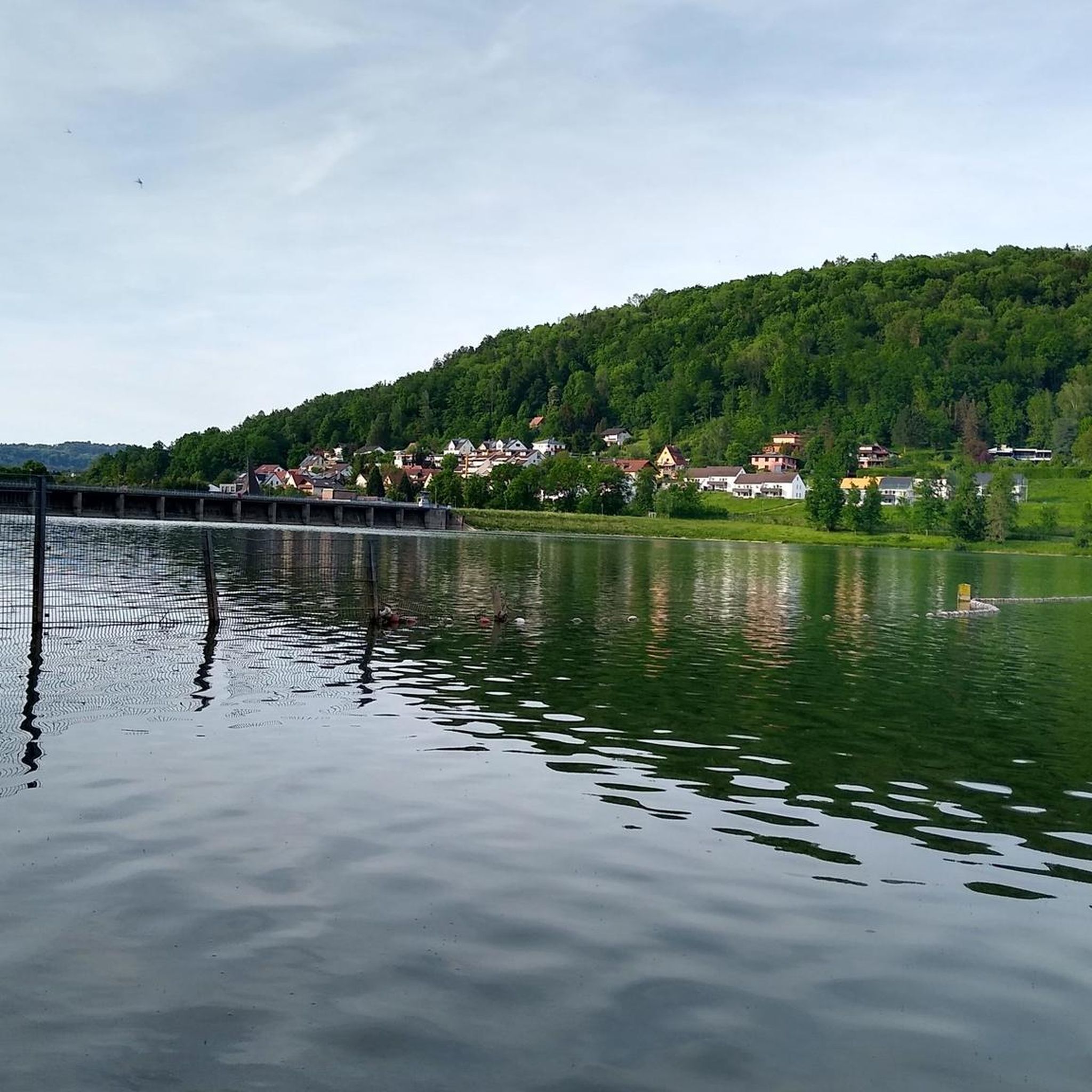
Cycling around Happurger Stausee
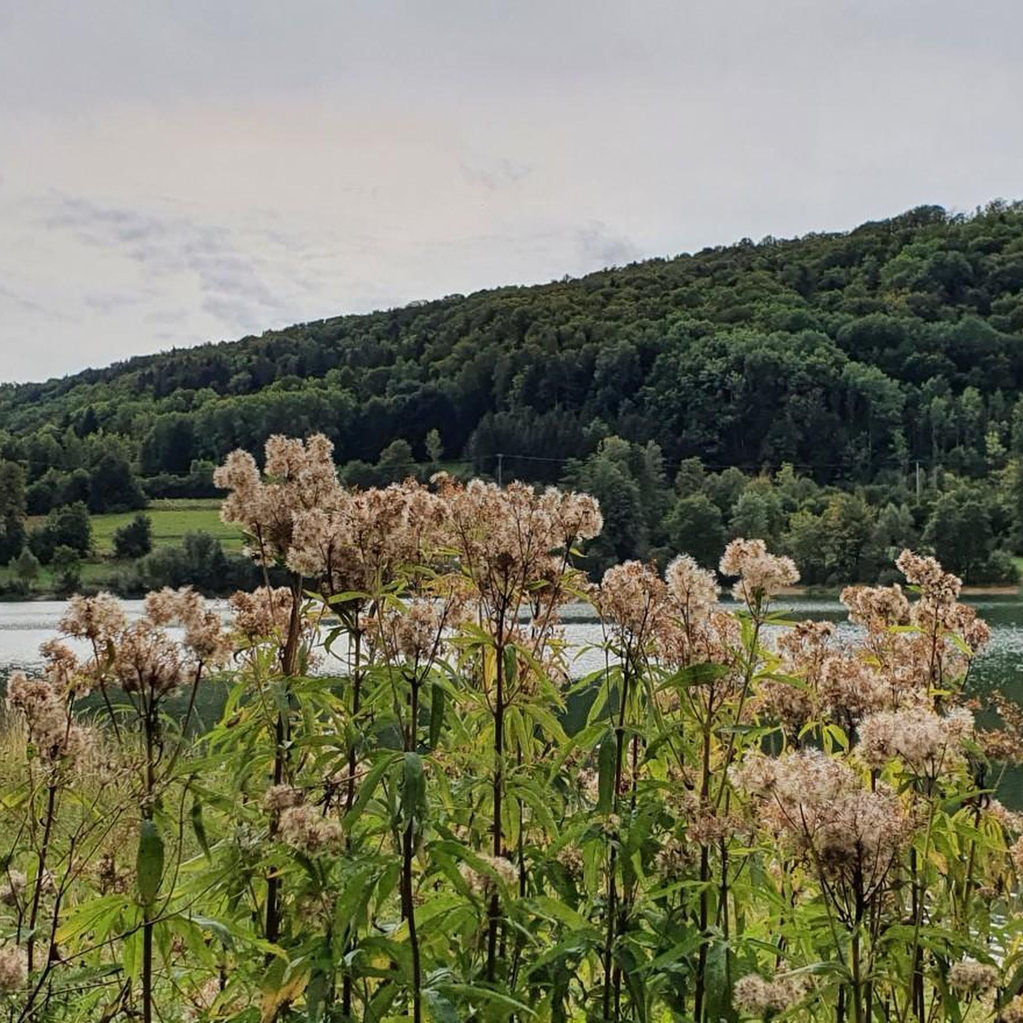
MTB Trails around Happurger Stausee
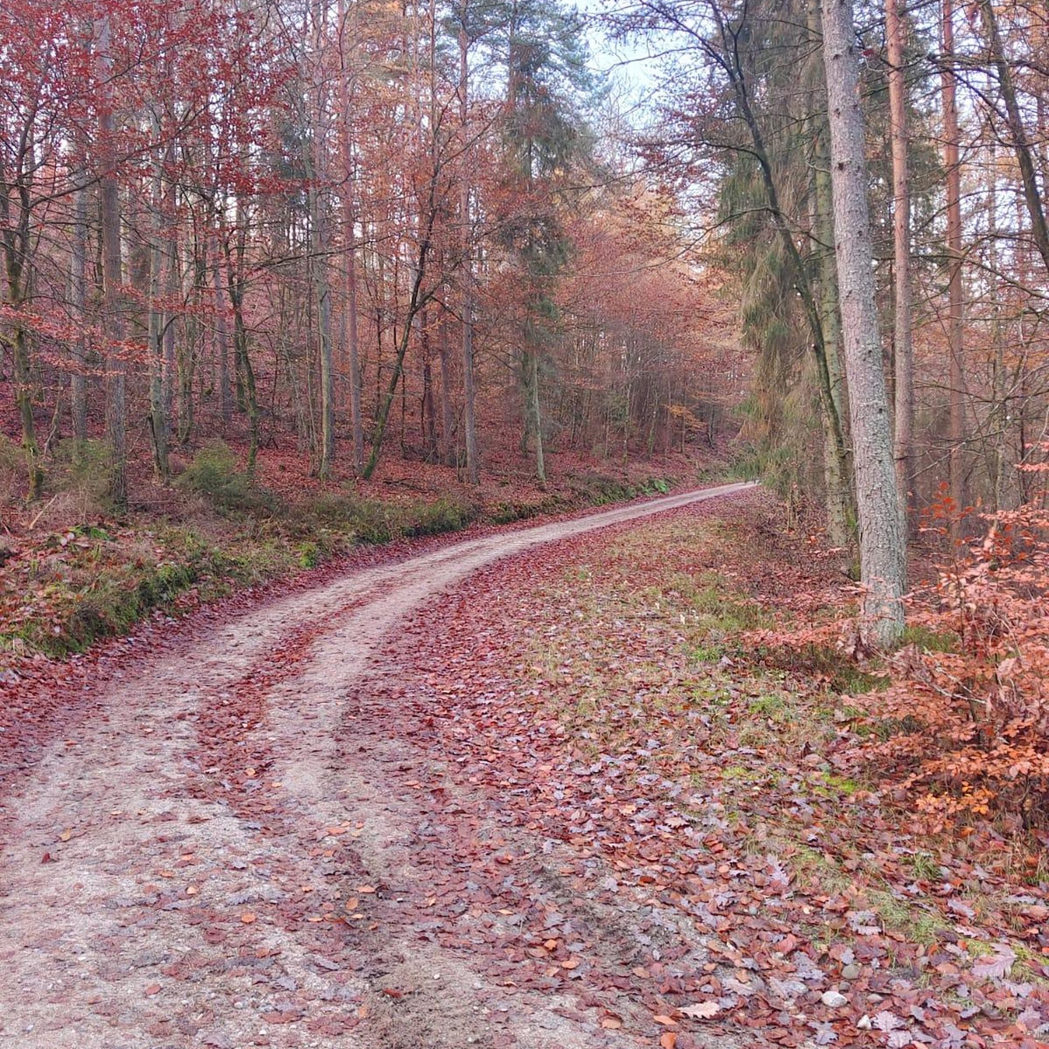
Gravel biking around Happurger Stausee


Tips from the Community

Nice hut, but unfortunately no opportunity to rest. Neither at the summit nor here at the hut. The last bench was at the Zankelstein viewpoint!
0
0

Smooth, rather unspectacular wall, which is traversed horizontally. Due to the climbing holds, it is actually consistently category A, even if the literature indicates the entry point at the bottom as B.
3
0

A beautiful climbing adventure https://www.via-ferrata.de/klettersteige/topo/norissteig - for those who want more iron in their hands, just go 1km further east to the neighboring Höhenglücksteig ;-)
0
0

After a short climb, you can enjoy the magnificent view.
1
0

A beautiful circular route through the forest, but be careful when wet as it gets slippery.
0
0

magnificent view all the way to Nuremberg
0
0

Frequently Asked Questions
How many mountaineering routes are available around Happurger Stausee?
There are over 15 challenging mountaineering routes around Happurger Stausee, all rated as difficult. These trails offer significant elevation gain and navigate through varied terrain, including dense woodlands and rocky outcrops.
Are there any easy mountaineering routes suitable for beginners?
The mountaineering routes around Happurger Stausee are generally considered difficult, featuring significant elevation changes and challenging terrain. There are no routes specifically rated as easy or moderate for mountaineering in this area, making it more suitable for experienced individuals.
What kind of terrain can I expect on the mountaineering routes?
The routes around Happurger Stausee are characterized by dense woodlands, rocky formations, and scenic views of the lake. You'll encounter ascents and descents through forested areas and along water bodies, often with sections requiring good physical condition due to elevation gain.
Are there any circular mountaineering routes around Happurger Stausee?
Yes, many routes are designed as loops. For instance, the Happurger Lake – Happurg Reservoir loop from Happurg is a popular choice, offering views of the reservoir and surrounding forest. Another option is the Leitenberg Hut on the Rock – View from Zankelstein loop from Pommelsbrunn, which leads through rocky terrain with panoramic views.
What are some scenic viewpoints or attractions along the mountaineering routes?
Many routes offer stunning views of the Happurger Reservoir and the surrounding landscape. You can find highlights like the Happurg Reservoir Panorama Trail and various viewpoints such as the View of Hohler Fels. The Noristörl Rock Arch – Norisbrettl Via Ferrata loop from Vorra also offers unique rock formations.
What do other mountaineers say about the routes in Happurger Stausee?
The mountaineering routes in Happurger Stausee are highly rated by the komoot community, with an average score of 4.8 stars from over 100 reviews. Mountaineers often praise the varied terrain, challenging ascents, and the beautiful lake and forest scenery.
Are there any routes that include a via ferrata?
Yes, the Noristörl Rock Arch – Norisbrettl Via Ferrata loop from Vorra is a mountaineering route that includes a via ferrata section, offering a more technical climbing experience.
What is a good route for a challenging day out?
For a challenging experience, consider the Forest Trail to Hohler Fels – Happurg Reservoir loop from Förrenbach. This difficult 4.4-mile (7.1 km) path leads through forest sections with significant elevation changes and offers rewarding views of the reservoir.
Are there any routes that are shorter but still offer a good mountaineering challenge?
If you're looking for a shorter but still challenging option, the Hollederer Bridge – Luginsland Summit View loop from Hirschbach is a difficult 4.2-mile (6.7 km) route that provides a good workout with notable elevation gain and summit views.
What is the typical duration for these mountaineering routes?
The duration of the mountaineering routes varies depending on the specific trail and your pace. For example, the Happurger Lake – Happurg Reservoir loop from Happurg typically takes around 2 hours, while longer routes like the Leitenberg Hut on the Rock – View from Zankelstein loop from Pommelsbrunn can take over 3 hours.
Is there parking available near the trailheads?
Yes, many of the starting points for these mountaineering routes, such as Happurg, Förrenbach, Pommelsbrunn, Vorra, and Hirschbach, offer parking facilities. It's advisable to check specific trailhead information for detailed parking options before your trip.
Can I reach the Happurger Stausee mountaineering routes by public transport?
The Happurger Stausee region is accessible by public transport, primarily through train connections to nearby towns like Happurg or Hersbruck, followed by local bus services or a short walk to reach specific trailheads. Planning your journey in advance with local transport schedules is recommended.
Most popular routes around Happurger Stausee
Most popular attractions around Happurger Stausee

Get inspired with the komoot mobile app


Explore more
Browse the best Mountain Hikes & Routes in other regions.
