The best mountain hikes around Sulzberger Lake
4.5
(4)
35
hikers
4
hikes
Mountaineering routes around Sulzberger Lake are characterized by varied terrain, including paths along rivers and around lakes, with views towards the Allgäu Alps. The region features moderate elevation changes, with routes traversing through areas that combine water features with surrounding hills and natural landscapes. This area offers opportunities for exploring both open views and more sheltered sections near water bodies. The landscape provides a mix of natural features suitable for moderate mountaineering activities.
Best mountaineering routes around Sulzberger Lake
- The…
Last updated: October 5, 2026
2
hikers
15.5km
04:44
420m
420m
Moderate mountaineering route. Good fitness required. Mostly accessible paths. Sure-footedness required.
1
hikers
11.4km
03:06
180m
180m
Moderate mountaineering route. Good fitness required. Easily-accessible paths. Suitable for all skill levels.

5.0
(1)
7
hikers
Moderate mountaineering route. Good fitness required. Easily-accessible paths. Suitable for all skill levels.
5.0
(1)
7
hikers
Moderate mountaineering route. Good fitness required. Easily-accessible paths. Suitable for all skill levels.
4
hikers
6.66km
02:16
320m
320m
Moderate mountaineering route. Good fitness required. Easily-accessible paths. Suitable for all skill levels.
Our route recommendations are based on thousands of hikes, rides, and runs completed by other people on komoot.
Start today with a free account
Your next adventure awaits.
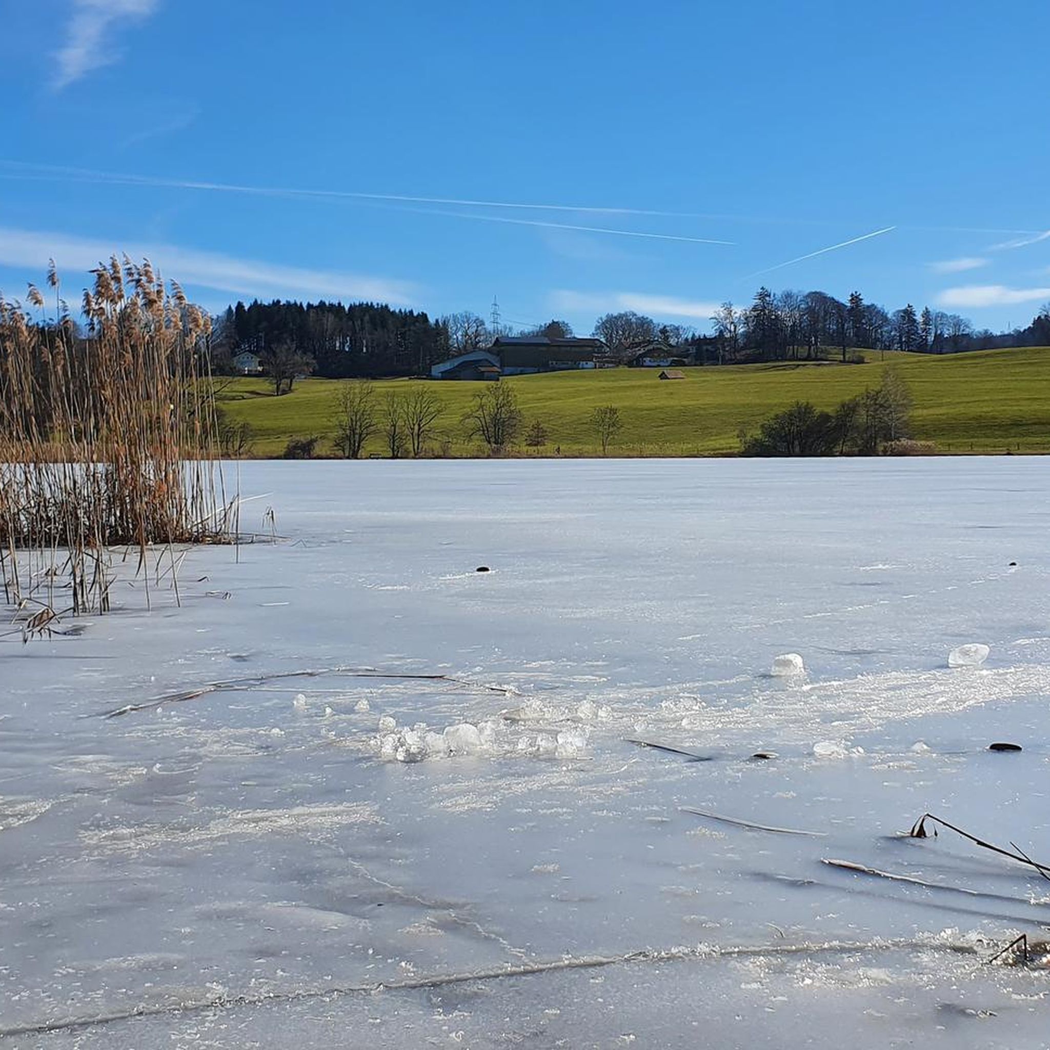
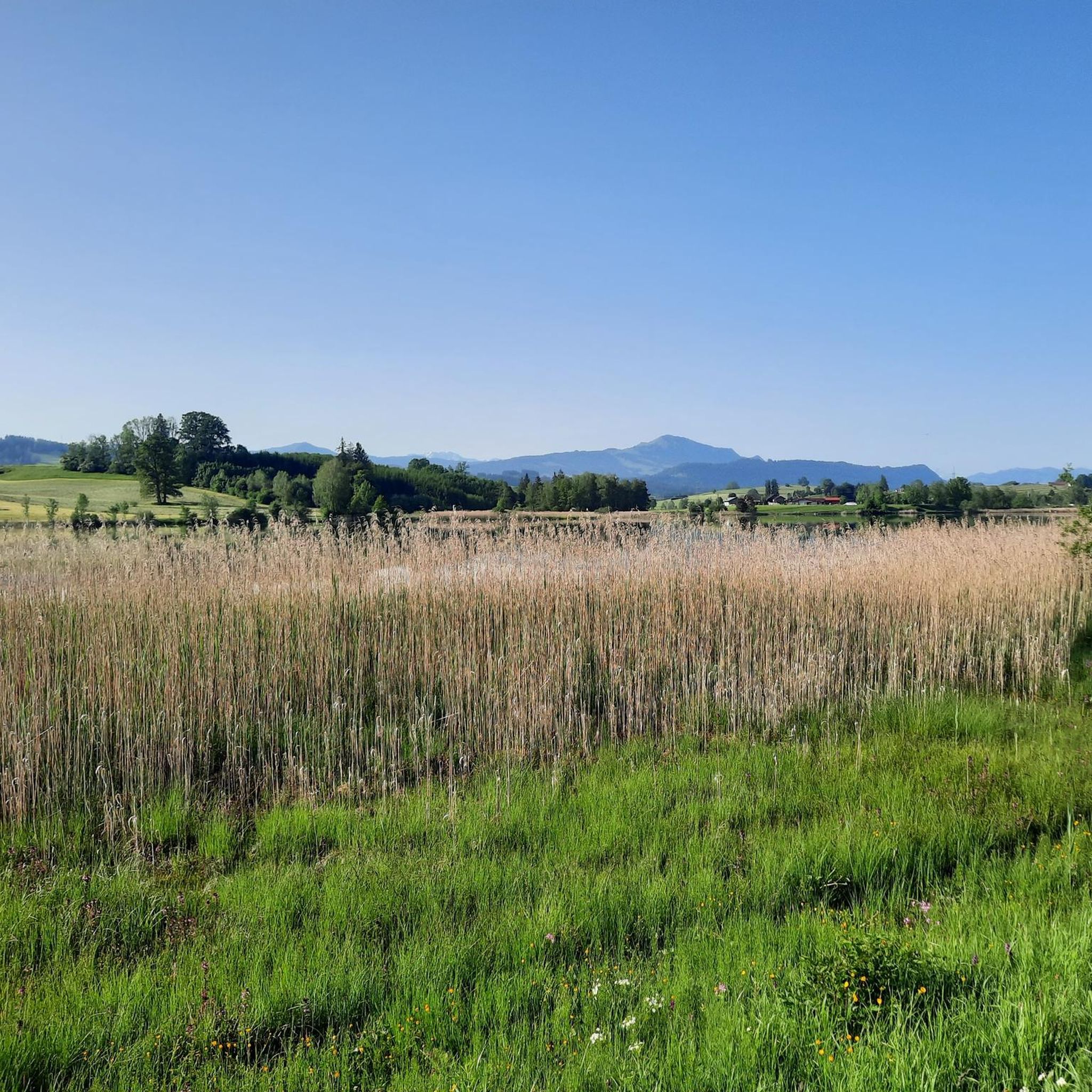
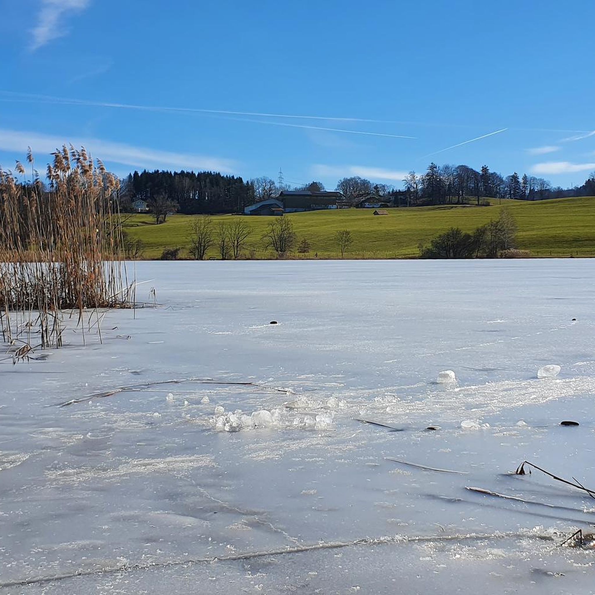
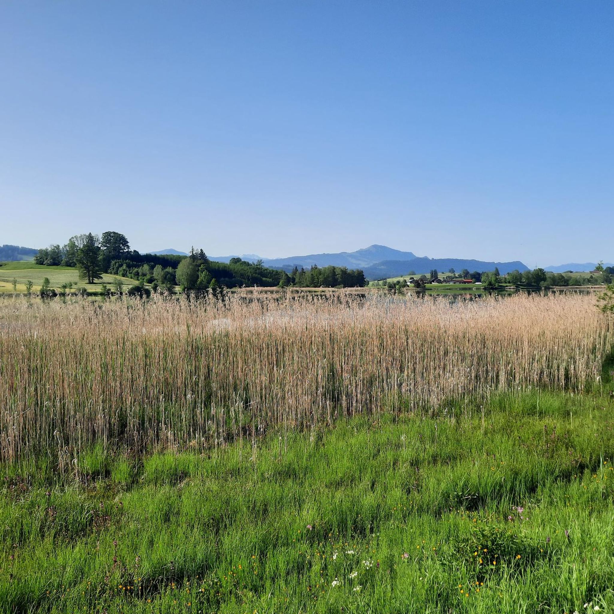
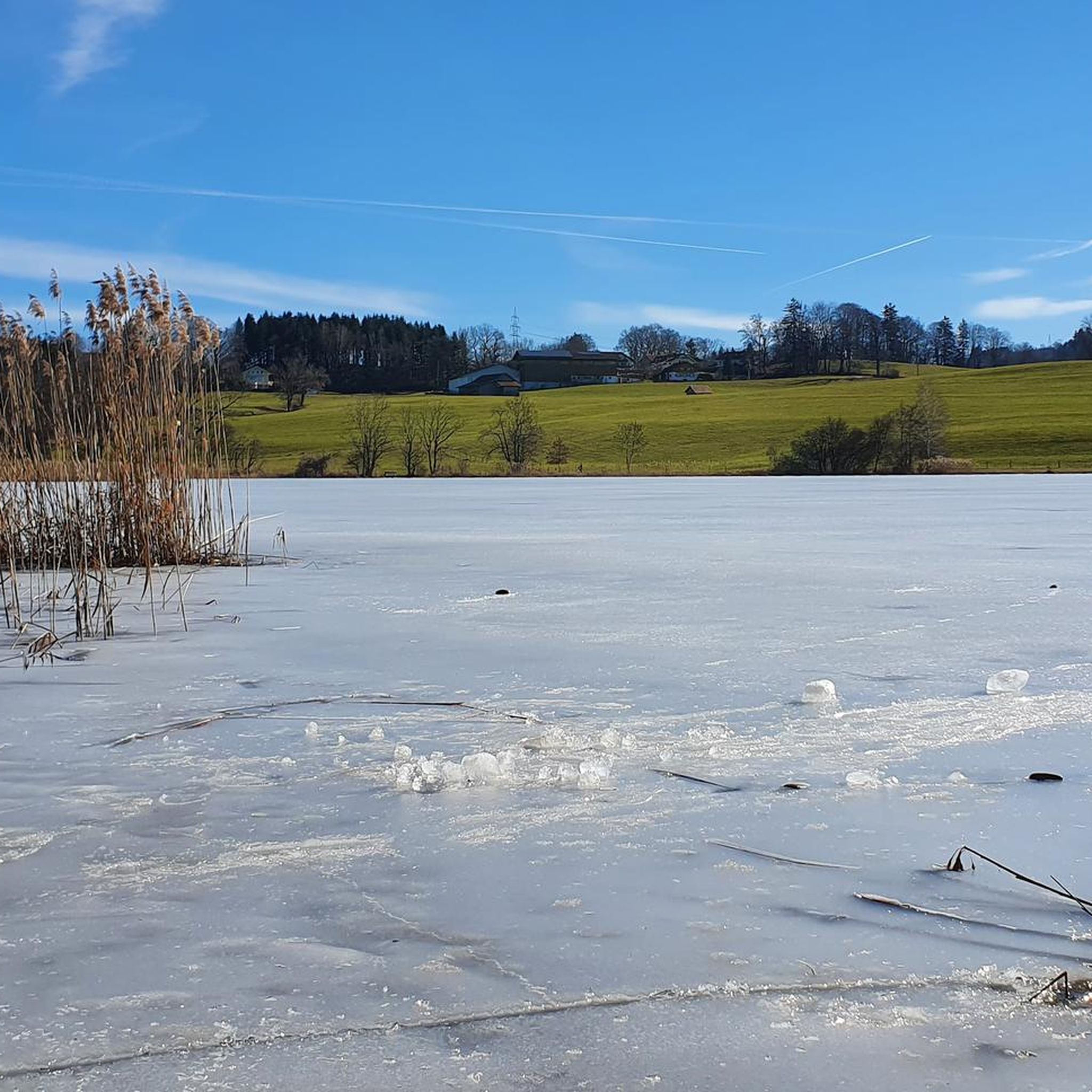
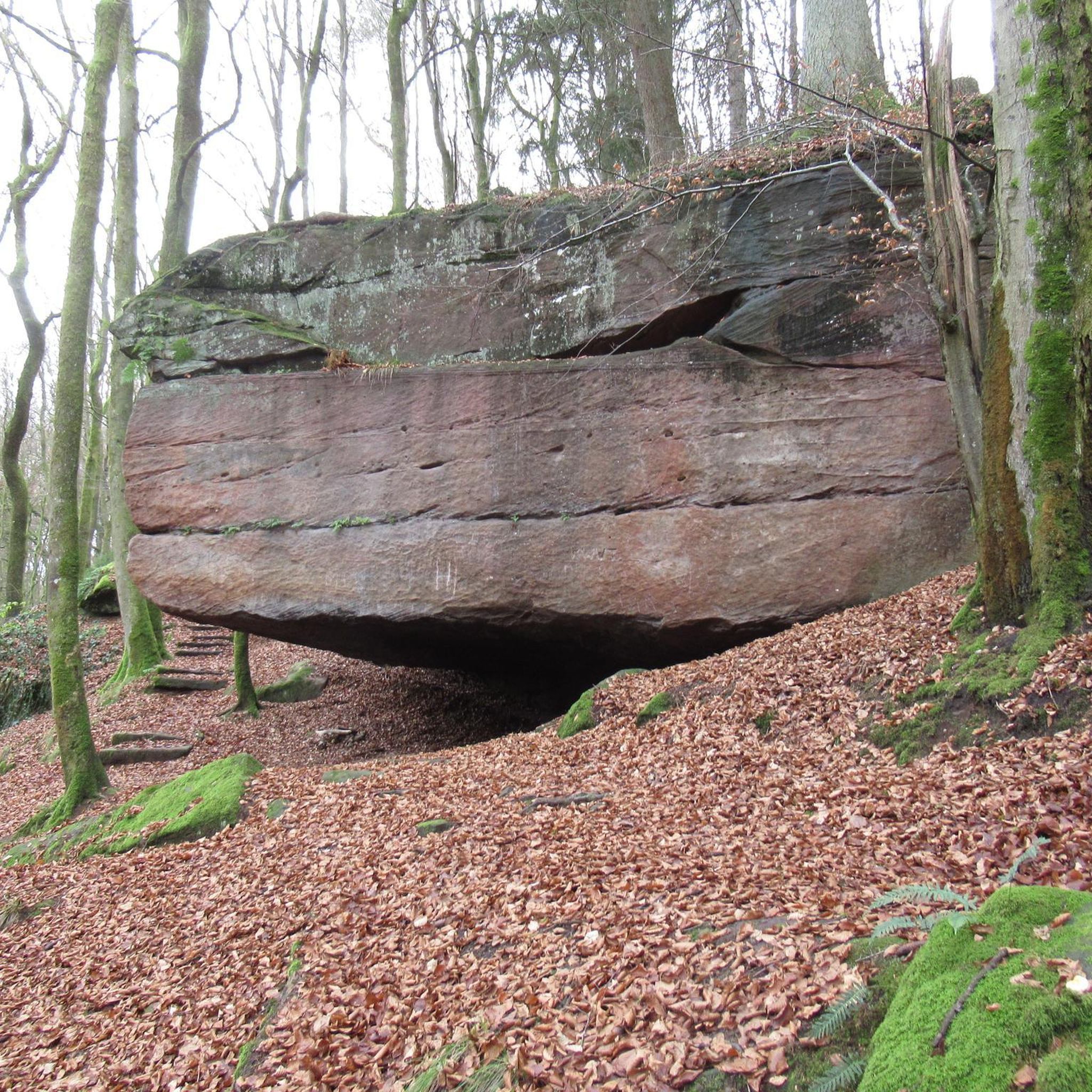
Tips from the Community

Beautiful path directly on the south bank of the Nieso
0
0

Guardian Angel Chapel ⛪ - Idyllic chapel in the hamlet of Insel on the shore of the lake - Niedersonthofen municipality Waltenhofen - LKR. Oberallgäu
1
0
The Roman Catholic parish church of St. Alexander and George is located in Niedersonthofen, a part of the municipality of Waltenhofen in the Swabian district of Oberallgäu in Bavaria. The listed building is registered in the list of monuments in Waltenhofen under no. D-7-80-143-29. The hall church was built in the early 16th century. It consists of a nave, a slightly recessed choir with a polygonal end to the east, supported by buttresses, and a tower on a square base on the north wall of the nave, to which a storey with chamfered corners was added in 1767/68 based on a design by Johann Georg Specht, which houses the tower clock and the belfry with five church bells. Above it sits a tiered onion dome. The west wall of the nave, as well as the west side and dome of the tower, are shingled to make them more weather-resistant. The interior of the nave is spanned by a flat ceiling, and that of the choir by a net vault, whose ribs had been chipped off in the 18th century, but were renewed in stucco in 1908. Above the chancel arch is the coat of arms of the County of Königsegg-Rothenfels. The early neoclassical ceiling paintings in the nave were painted by Franz Anton Weiß in 1777. The frescoes on the south wall of the nave, which probably date from the second half of the 16th century, were only uncovered in 1967. They depict the Last Judgment and, below it, the founding family on either side of the crucified Christ. A crucifixion group with Jerusalem as a background was designed around 1837 by Alois Keller. The Way of the Cross was created by Johann Michael Koneberg in 1763/64. Source: https://de.wikipedia.org/wiki/St._Alexander_und_Georg_(Niedersonthofen)#Weblinks
1
0

relaxed cycling on the freshly tarred railway embankment towards Kempten
1
0
"Nieso" always beautiful again with many opportunities for a break
0
0

Resting benches with a lake view
2
0
Beautiful pond on the cycle path from Kempten to Buchenberg
0
0
Beautiful meadows west of Kempten
0
0
Frequently Asked Questions
How many mountaineering routes are available around Sulzberger Lake?
There are at least 4 mountaineering routes detailed in this guide for the Sulzberger Lake area, all offering moderate challenges. These routes are highly rated by the komoot community.
What kind of terrain can I expect on mountaineering routes near Sulzberger Lake?
The terrain around Sulzberger Lake is varied, featuring paths along rivers and around lakes, with scenic views towards the Allgäu Alps. You'll encounter moderate elevation changes, traversing areas that combine water features with surrounding hills and natural landscapes.
Are there any circular mountaineering routes in the Sulzberger Lake region?
Yes, several routes are circular. For example, the Old Salt Road – Alpe Müllers Berg loop from Greifenmühle is a popular circular option, as is the Herrenwies Pond – Rottach River loop from Residenz.
What do other mountaineers enjoy most about the Sulzberger Lake area?
The area is highly rated by the komoot community, with an average score of 4.5 stars. Mountaineers often praise the varied terrain, which includes beautiful river valleys, lake shores, and inspiring views of the Allgäu Alps, making for a diverse and enjoyable experience.
Are there any routes that pass by notable water features like ponds or rivers?
Absolutely. The Herrenwies Pond – Rottach River loop from Residenz specifically follows the Rottach River and passes by Herrenwies Pond, offering a delightful mix of water and riverside scenery. Another option is the Lake Niedersonthofen – Niedersonthofener See loop from Martinszell im Allgäu.
What is a good moderate mountaineering route for someone looking for views of the Allgäu Alps?
For stunning vistas of the Allgäu Alps, consider the View of the Allgäu Alps – Rottach River loop from Rothkreuz. This 6.5-mile (10.4 km) trail offers excellent viewpoints and is typically completed in about 3 hours.
Are there any longer mountaineering routes for a more extended outing?
Yes, the Old Salt Road – Alpe Müllers Berg loop from Greifenmühle is the longest route listed, spanning 9.8 miles (15.8 km) with a significant elevation gain of 1,414 feet (431 m), typically taking around 4 hours 52 minutes to complete.
What is the general difficulty level of mountaineering routes around Sulzberger Lake?
The mountaineering routes in the Sulzberger Lake area are primarily classified as moderate. They offer a good balance of challenge and accessibility, suitable for those with some hiking experience.
Can I find routes that explore different lakes in the area?
Yes, beyond the main Sulzberger Lake area, you can explore routes around other nearby lakes. For instance, the Lake Niedersonthofen – Niedersonthofener See loop from Niedersonthofen offers a pleasant mountaineering experience around Lake Niedersonthofen.
How long do the mountaineering routes typically take to complete?
The duration varies depending on the route and your pace. For example, the View of the Allgäu Alps – Rottach River loop from Rothkreuz can be completed in about 3 hours, while the longer Old Salt Road – Alpe Müllers Berg loop from Greifenmühle takes closer to 5 hours.
What kind of elevation changes should I expect on these routes?
The routes feature moderate elevation changes. For example, the Old Salt Road – Alpe Müllers Berg loop from Greifenmühle has an elevation gain of 1,414 feet (431 m), while other routes like the Lake Niedersonthofen – Niedersonthofener See loop from Martinszell im Allgäu have gentler ascents around 81 feet (25 m).
Most popular routes around Sulzberger Lake

Get inspired with the komoot mobile app


Explore more
Browse the best Mountain Hikes & Routes in other regions.
