The best running trails around Oberegger Stausee
4.5
(100)
1,310
runners
203
runs
Jogging routes around Oberegger Stausee offer a serene environment for recreational running. The region is characterized by the Günztal valley, featuring the picturesque Oberegger Stausee itself. Trails generally consist of well-maintained paths, often with narrow strips of trees along the shore and small forested areas, providing a varied backdrop for runs. The landscape is suitable for various fitness levels, with many routes described as easy and accessible.
Best jogging routes around Oberegger Stausee
- The most popular jogging route is Running…
Last updated: June 27, 2026
2.0
(1)
12
runners
Easy run. Great for any fitness level. Mostly paved surfaces. Suitable for all skill levels.
2.0
(1)
11
runners
4.73km
00:32
30m
30m
Easy run. Great for any fitness level. Mostly paved surfaces. Suitable for all skill levels.

Sign up for free
12
runners
7.55km
00:48
80m
80m
Moderate run. Good fitness required. Mostly paved surfaces. Suitable for all skill levels.
5.0
(1)
22
runners
Moderate run. Good fitness required. Mostly paved surfaces. Suitable for all skill levels.
5.0
(1)
13
runners
4.75km
00:30
60m
60m
Easy run. Great for any fitness level. Mostly paved surfaces. Suitable for all skill levels.
Get access to more routes and recommendations from other explorers.
Sign up for free
Already have an account?
Our route recommendations are based on thousands of hikes, rides, and runs completed by other people on komoot.
Start today with a free account
Your next adventure awaits.
Login or Signup

Tips from the Community

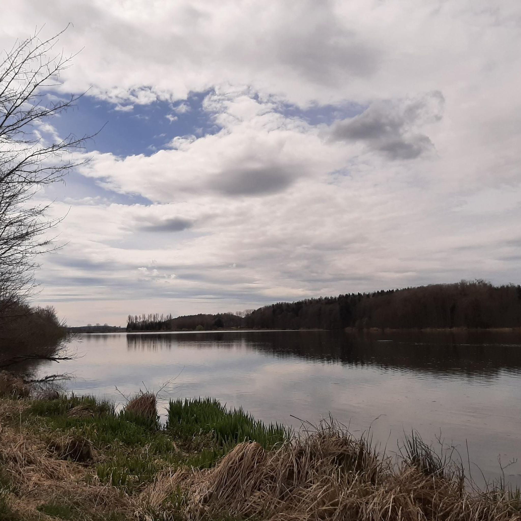
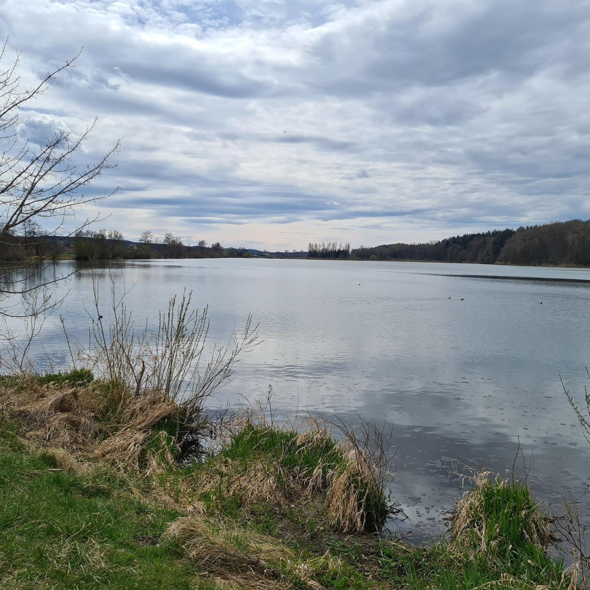
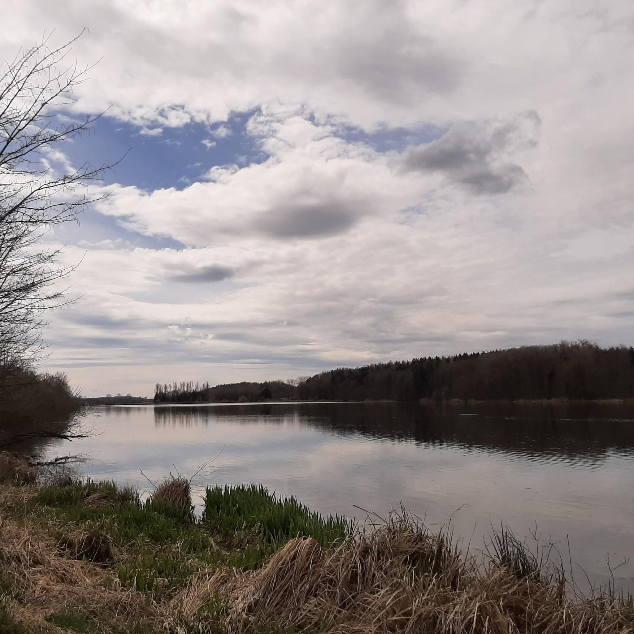
The Oberegger reservoir area is considered a true "bird paradise". During the Second World War, prisoners of war were used in the construction of the lake.
0
0

Small rest area
0
0

Beautifully built picnic area just before the lake.
0
0

There's always something going on here
2
0
Access to the dam by bike is possible from the bike path at 2-3 points. Be sure to check it out.
2
0
The bike path runs along the bottom of the dam, but there are several places to access the dam. There are plenty of anglers on the dam.
2
0
Frequently Asked Questions
How many running routes are available around Oberegger Stausee?
The Oberegger Stausee area offers a comprehensive network of trails, with nearly 200 running routes available. These range from easy, accessible paths to more moderate and challenging options, catering to various fitness levels.
Are there easy jogging routes suitable for beginners or casual runners?
Yes, the region is ideal for beginners and casual runners. Many routes are described as easy with accessible paths requiring no special skills. For example, the Running loop from Oberbleichen is an easy 2.1-mile (3.4 km) trail perfect for a quick, relaxed run.
What kind of scenery can I expect on the running trails around Oberegger Stausee?
Joggers can enjoy picturesque landscapes featuring continuous views of the Oberegger Stausee itself. The trails wind through the Günz valley, characterized by narrow strips of trees along the shore, small forested areas like Jakobsstiftungsholz, and diverse upland environments. The area is also a designated 'Bird Paradise' nature reserve, offering chances to observe diverse avian life.
Are there any circular running routes in the area?
Yes, many of the routes around Oberegger Stausee are circular, providing a convenient and varied running experience. A popular choice is the Oberegger Reservoir – Angelberg loop from Wiesenbach, which is 2.9 miles (4.7 km) and offers scenic lake views and forested sections.
What do other runners say about the trails in Oberegger Stausee?
The running routes in Oberegger Stausee are highly rated by the komoot community, with an average score of 4.5 stars from over 100 reviews. Runners often praise the well-maintained paths, the serene environment, and the beautiful lake views that make for an enjoyable outdoor experience.
Are there any specific landmarks or points of interest to see while jogging?
Absolutely! While running, you can enjoy views of the Oberegger Reservoir itself. Keep an eye out for the Singletrack Along the Günz, or spot Highland cattle and swans at the pond. There's even a Bench With a View of the Lake for a scenic break.
Are the running trails around Oberegger Stausee suitable for families?
Yes, many trails are family-friendly, featuring easily accessible paths that require no special skills. The generally flat and well-maintained surfaces make them suitable for a leisurely jog with children. The natural beauty and bird sanctuary status also offer engaging sights for all ages.
Can I bring my dog on the jogging trails?
The Oberegger Stausee area is generally welcoming for dogs, with its extensive network of natural trails. However, as it is a designated nature reserve and bird sanctuary, it's advisable to keep dogs on a leash to protect the local wildlife and ensure a pleasant experience for everyone.
Where can I find parking for the running routes?
The area around Oberegger Stausee offers various access points. While specific parking locations aren't detailed for every route, the well-developed trail network implies convenient parking options near popular starting points like those for routes originating from Oberbleichen, Deisenhausen, or Wiesenbach.
Are there any places to stop for refreshments or a break after a run?
Yes, there are amenities available. The Glaserhof, located between Breitenthal and Deisenhausen, is a popular stop in the region and can serve as a pleasant break point. Additionally, several picnic areas are available around the lake, perfect for a self-catered refreshment stop.
What is a good moderate running route for a longer workout?
For a moderate and slightly longer workout, consider the Nativity Scene loop from Deisenhausen. This 4.7-mile (7.5 km) route winds through varied terrain, offering a mix of open views and natural surroundings, and typically takes about 45-50 minutes to complete.
Is there a good running route that includes the Oberrieder Lakes?
Yes, you can explore the area around the Oberrieder Lakes. The Swimming spot halfway along the route – Oberrieder Lakes loop from Breitenthal is a moderate 5.5-mile (8.8 km) route that offers a scenic journey through this part of the region.
Most popular routes around Oberegger Stausee
Most popular attractions around Oberegger Stausee

Get inspired with the komoot mobile app


Explore more
Browse the best Running Trails & Routes in other regions.
