The best cycling routes around Dickendorf
4.6
(3429)
16,040
riders
567
rides
Touring cycling around Dickendorf navigates a landscape characterized by rolling hills, dense woodlands, and serene lakes. The region's terrain includes moderate elevation changes, offering varied cycling experiences. Many touring cycling routes feature paths through forested areas and along natural water bodies, providing a mix of natural scenery. Dickendorf cycling routes offer diverse difficulty and elevation, catering to various preferences.
Best touring cycling routes around Dickendorf
- The most popular touring cycling route is Elkenrother Weiher – Elkenrother Weiher loop from Elkenroth…
Last updated: October 8, 2026
4.7
(43)
192
riders
34.3km
02:27
430m
430m
Moderate bike ride. Good fitness required. Mostly paved surfaces. Suitable for all skill levels.
5.0
(3)
20
riders
37.5km
02:56
540m
550m
Hard bike ride. Very good fitness required. You may need to push your bike for some segments of this route.

4.0
(2)
9
riders
16.1km
01:22
220m
220m
Moderate bike ride. Good fitness required. Mostly paved surfaces. Suitable for all skill levels.
5.0
(1)
11
riders
13.7km
01:07
170m
170m
Moderate bike ride. Good fitness required. Mostly paved surfaces. Suitable for all skill levels.
8
riders
Hard bike ride. Very good fitness required. Mostly paved surfaces. Suitable for all skill levels.
Get access to more routes and recommendations from other explorers.
Already have an account?
Our route recommendations are based on thousands of hikes, rides, and runs completed by other people on komoot.
Start today with a free account
Your next adventure awaits.
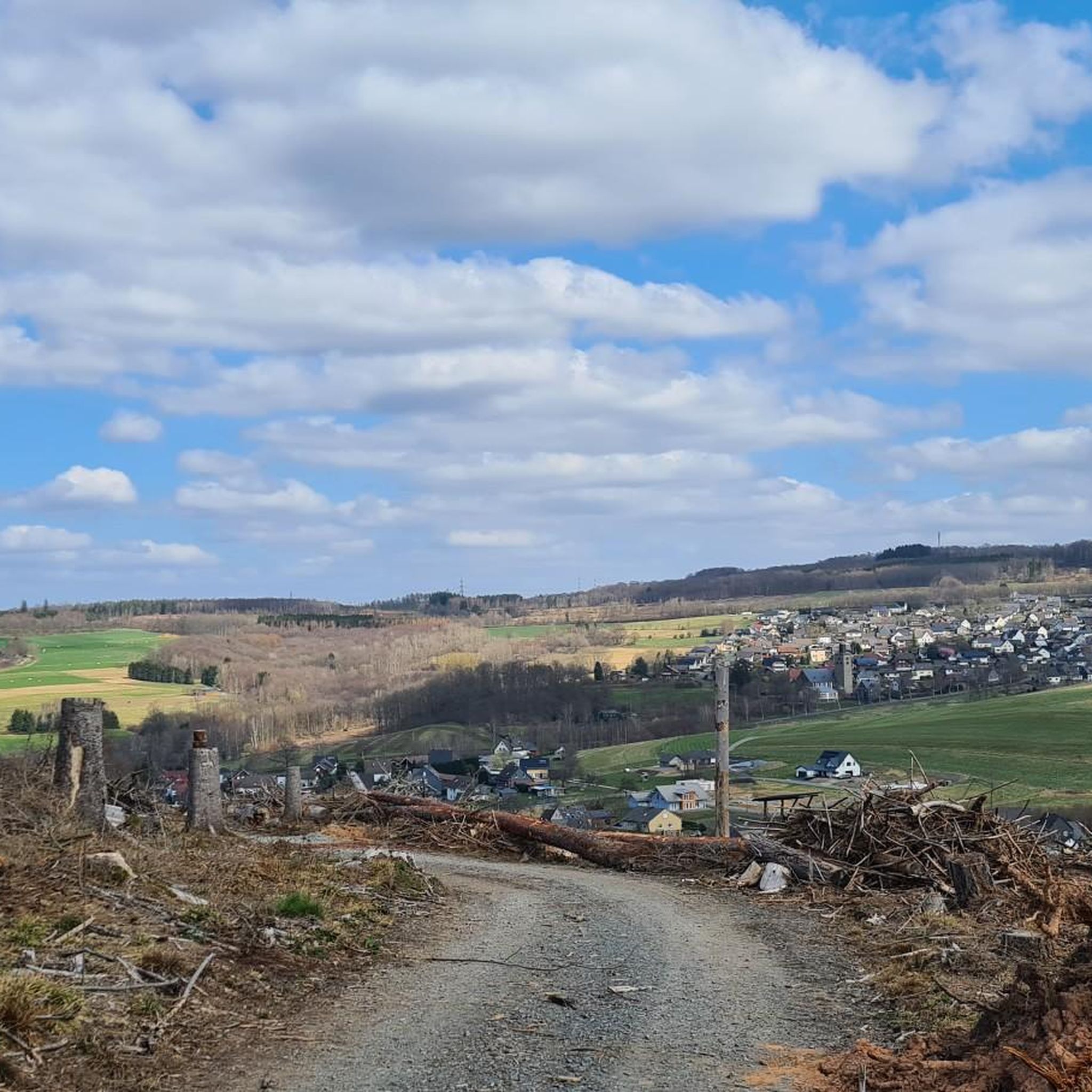
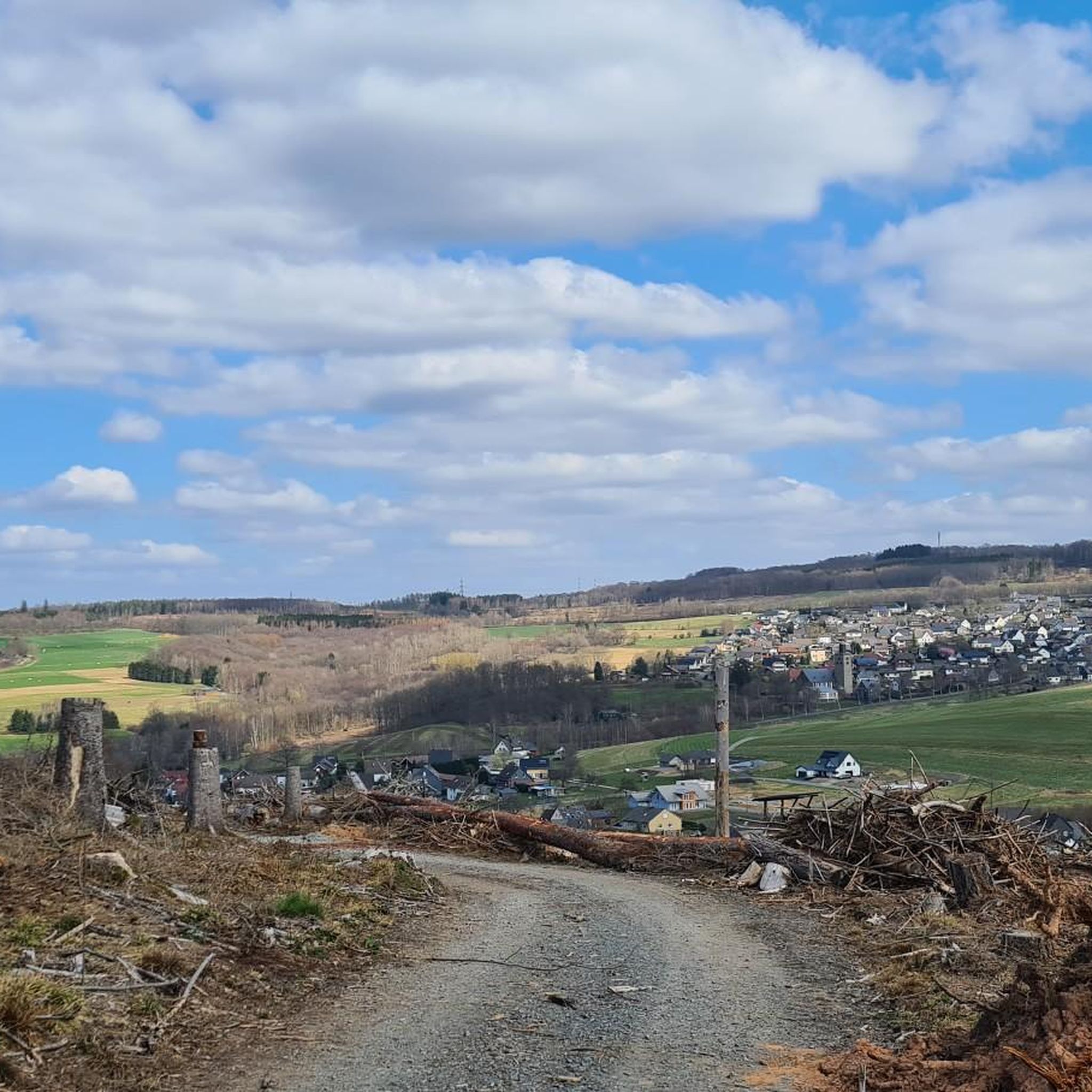
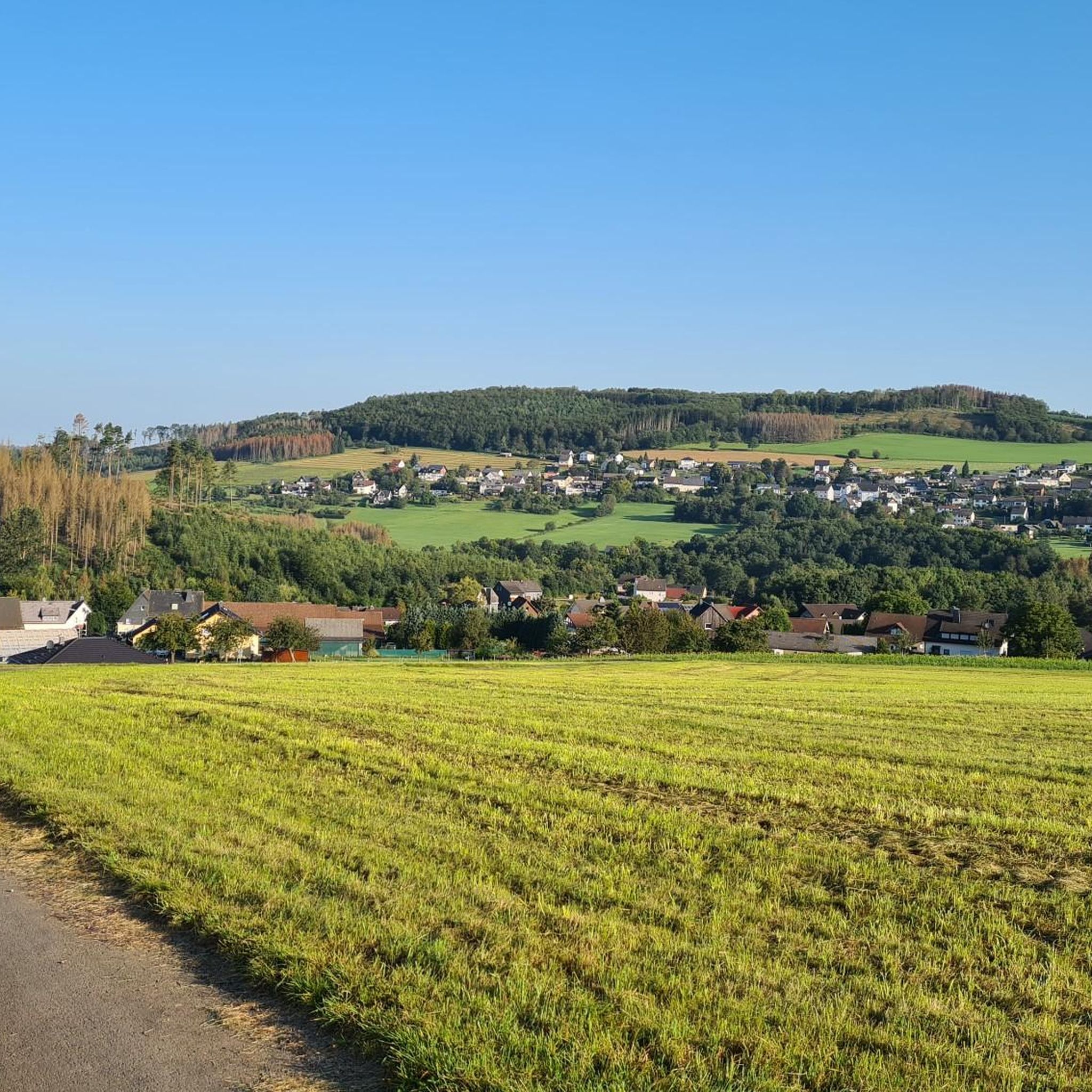
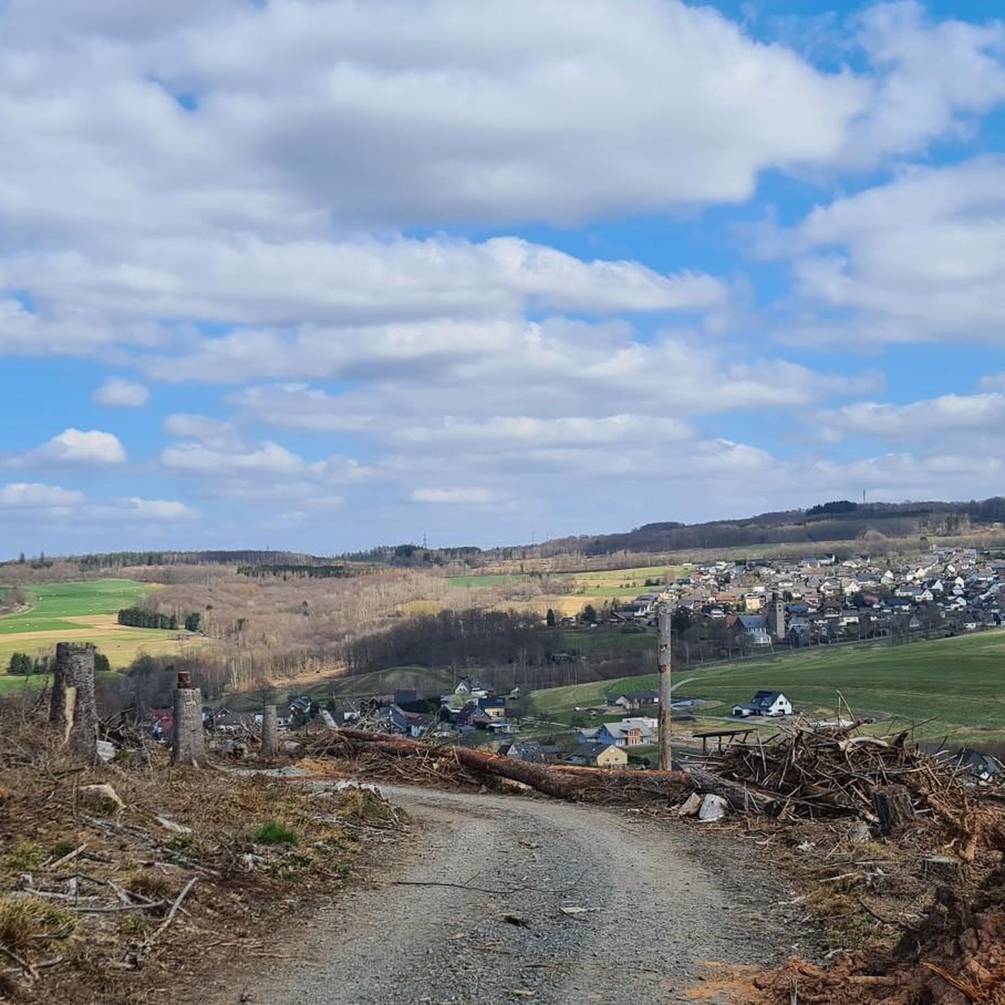
Tips from the Community

Super great well-maintained fishing water on the bike path.
0
0

Beautiful and quiet pond
0
0
Unfortunately, I have a fear of heights :-(
0
0
Great animals that you can see from the path
0
0

An idyllic place near the historic stone bridge of Limbach.
0
0

Large and stony
0
0
Frequently Asked Questions
What is the general difficulty level of touring cycling routes in Dickendorf?
Dickendorf offers a diverse range of touring cycling routes, catering to various skill levels. You'll find a good mix of easy, moderate, and difficult trails. Specifically, there are 58 easy routes, 223 moderate routes, and 257 difficult routes, ensuring options for everyone from beginners to experienced cyclists.
Are there family-friendly touring cycling routes in Dickendorf?
Yes, Dickendorf features several touring cycling routes suitable for families. These routes often navigate through forested areas and along natural water bodies, providing a pleasant and safe environment. Look for routes categorized as 'easy' for the most family-friendly options.
Are there circular touring cycling routes available in Dickendorf?
Many touring cycling routes in Dickendorf are designed as loops, allowing you to start and end at the same point. An example is the Elkenrother Weiher – Elkenrother Weiher loop from Elkenroth, which offers a scenic circuit around a local lake.
What are the typical distances of touring cycling routes in the Dickendorf area?
The distances of touring cycling routes in Dickendorf vary significantly. You can find shorter loops, such as the Straußenhof Hohensayn – View of Elkenroth loop from Elkenroth at 14.5 miles (23.4 km), as well as longer, more challenging rides like the Elkenrother Weiher – Treetop adventure park at the wildlife park loop from Gebhardshain-Steinebach, which spans 27.7 miles (44.6 km).
When is the best time of year to go touring cycling in Dickendorf?
The region's rolling hills, dense woodlands, and serene lakes are enjoyable throughout much of the year. Spring and autumn generally offer pleasant temperatures and vibrant scenery, while summer provides longer daylight hours. Always check local weather forecasts before heading out.
What can I see along the touring cycling routes in Dickendorf?
Beyond the natural beauty of forests and lakes, you can explore interesting natural landmarks. Consider routes that pass near the Limbach Gorge (Little Nister Gorge) or the Holzbach Gorge near Hachenburg for impressive natural formations. Some routes might also lead you past historical sites like the Forest restaurant at Hohenseelbachskopf.
Are there touring cycling routes in Dickendorf with cafes or refreshment stops along the way?
While specific cafes on every route are not guaranteed, many routes pass through or near villages where you can find refreshment. For example, the Friedewald Castle – Esswerk 5 loop from Elkenroth might offer opportunities for stops in local communities.
Where can I find more challenging touring cycling routes in Dickendorf?
For more advanced touring cyclists, Dickendorf offers a significant number of difficult routes, totaling 257. These routes typically feature greater elevation changes and longer distances. The Elkenrother Weiher – Treetop adventure park at the wildlife park loop from Gebhardshain-Steinebach is an example of a difficult route with substantial elevation gain.
What do other touring cyclists enjoy the most about touring cycling in Dickendorf?
The area is highly rated by the komoot community, with an average score of 4.6 stars from over 3,000 reviews. Reviewers often praise the region's varied terrain, which includes rolling hills, dense woodlands, and serene lakes, as well as the well-maintained paths that offer a mix of natural scenery.
Are there any less-known or 'hidden gem' touring cycling routes in Dickendorf?
While specific 'hidden gems' are subjective, exploring the less-trafficked routes, particularly those categorized as moderate or difficult, can lead to unique discoveries. The region's extensive network of over 500 routes means there are always new paths to explore beyond the most popular ones, often leading to quiet forest trails and secluded viewpoints.
Is parking available at the starting points of touring cycling routes in Dickendorf?
Many touring cycling routes in Dickendorf begin in or near villages and towns, where public parking is generally available. It's advisable to check the specific route details on komoot for information on designated parking areas close to the starting points.
Can I reach touring cycling routes in Dickendorf using public transport?
While Dickendorf is primarily accessed by car, some routes may be reachable via regional bus services or train stations in nearby larger towns. For specific public transport options, it's best to consult local transport schedules for the starting point of your chosen route.
Most popular routes around Dickendorf
Most popular attractions around Dickendorf

Get inspired with the komoot mobile app


Explore more
Browse the best Cycling routes in other regions.
