The best mountain hikes around Thumsee
4.7
(764)
8,354
hikers
160
hikes
Mountaineering routes around Thumsee are set within the scenic Bavarian Alps, offering diverse terrain for outdoor enthusiasts. The region is characterized by the picturesque Lake Thumsee, surrounded by a nature conservation area, and embraced by the mountain panorama of the Prealps. Prominent peaks like Hochstaufen provide challenging ascents, while numerous trails wind through varied landscapes of forests, valleys, and alpine meadows. This area serves as a gateway to the broader Chiemgau and Berchtesgaden Alps, featuring a mix of moderate and…
Last updated: July 1, 2026
5.0
(1)
20
hikers
Moderate mountaineering route. Good fitness required. Mostly accessible paths. Sure-footedness required.
4.0
(3)
9
hikers
Hard mountaineering route. Good fitness required. Sure-footedness, sturdy shoes and alpine experience required.

Sign up for free
6
hikers
5.16km
02:08
330m
330m
Moderate mountaineering route. Good fitness required. Mostly accessible paths. Sure-footedness required.
4
hikers
Easy mountaineering route. Great for any fitness level. Easily-accessible paths. Suitable for all skill levels.
5.0
(2)
9
hikers
Moderate mountaineering route. Good fitness required. Mostly accessible paths. Sure-footedness required.
Get access to more routes and recommendations from other explorers.
Sign up for free
Already have an account?
Our route recommendations are based on thousands of hikes, rides, and runs completed by other people on komoot.
Start today with a free account
Your next adventure awaits.
Login or Signup
Tips from the Community

A great hidden object game hike for children. Adults can have fun too 😉.
0
0

Nice chapel with a very beautiful view of Bad Reichenhall.
0
0
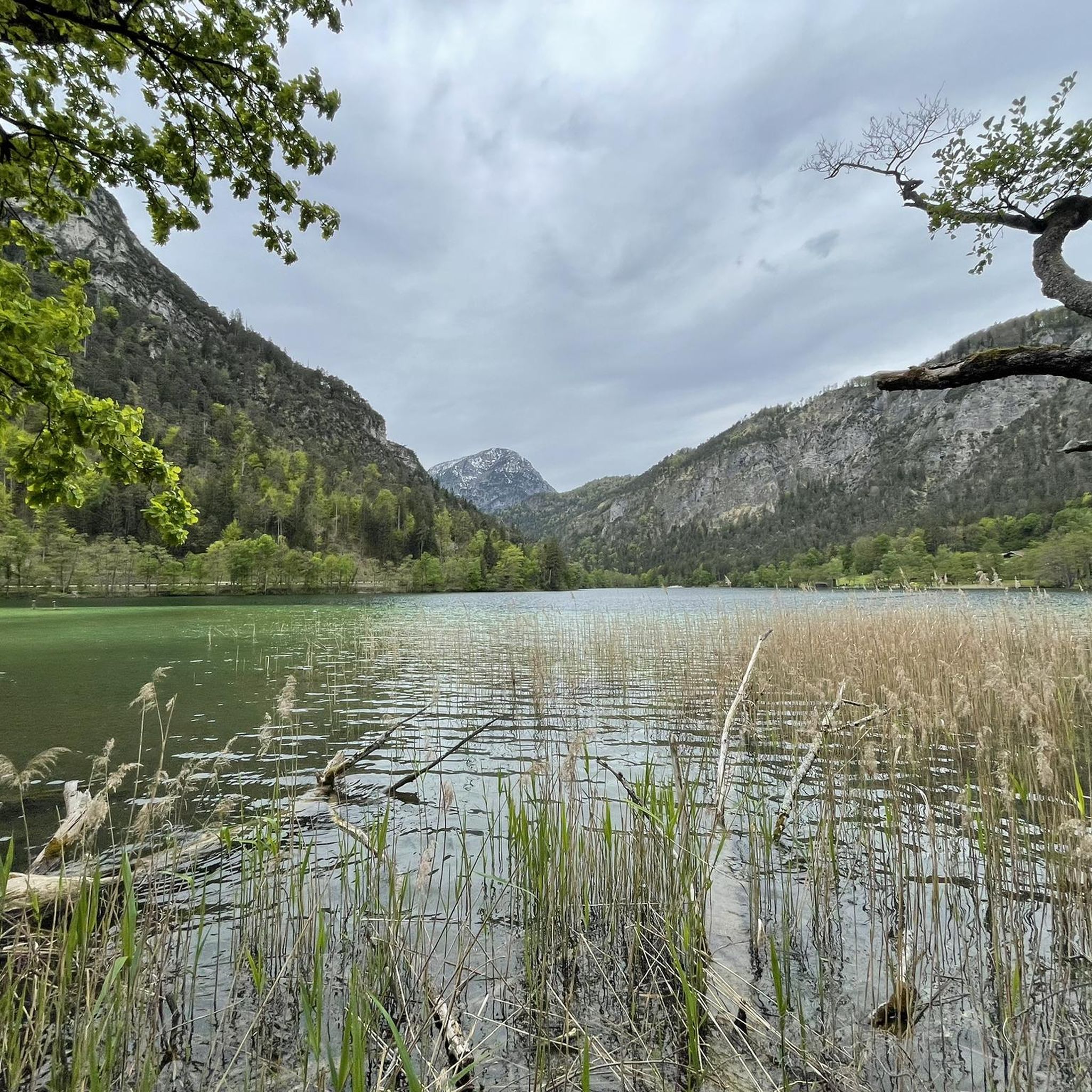
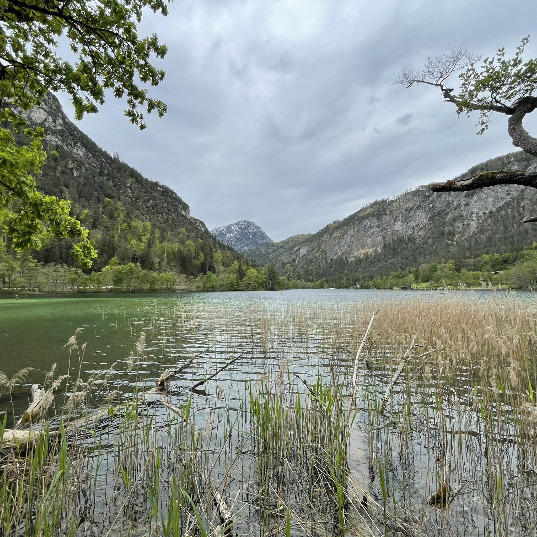
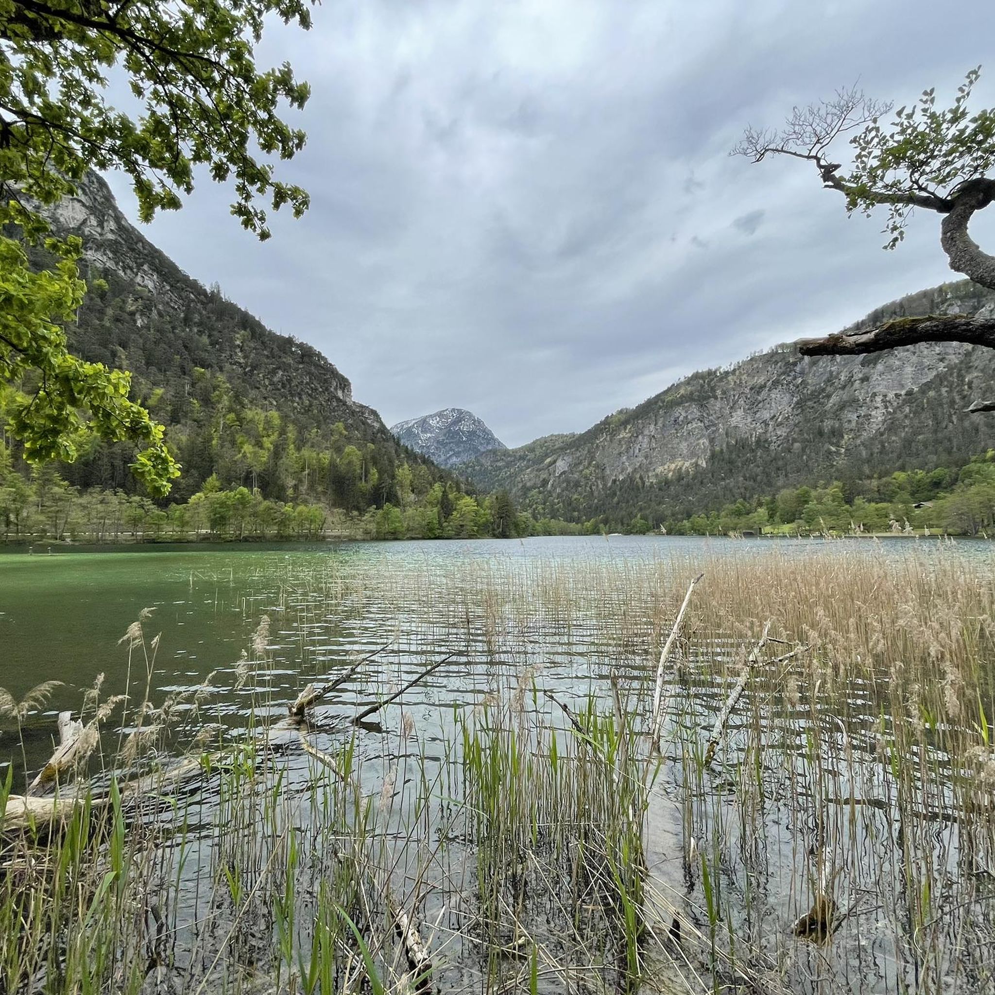
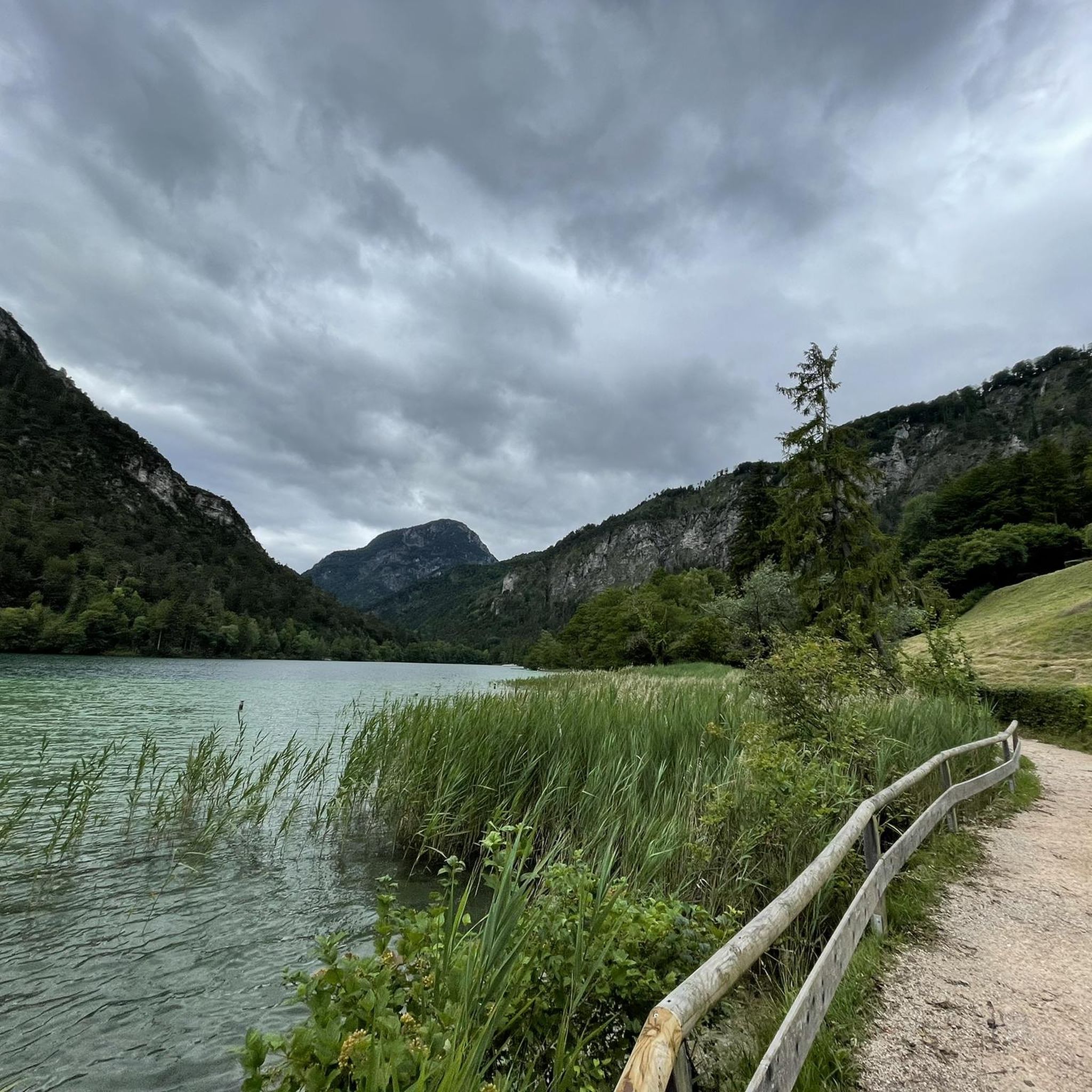
The very clear water invites you to swim. A very beautiful lake.
1
0

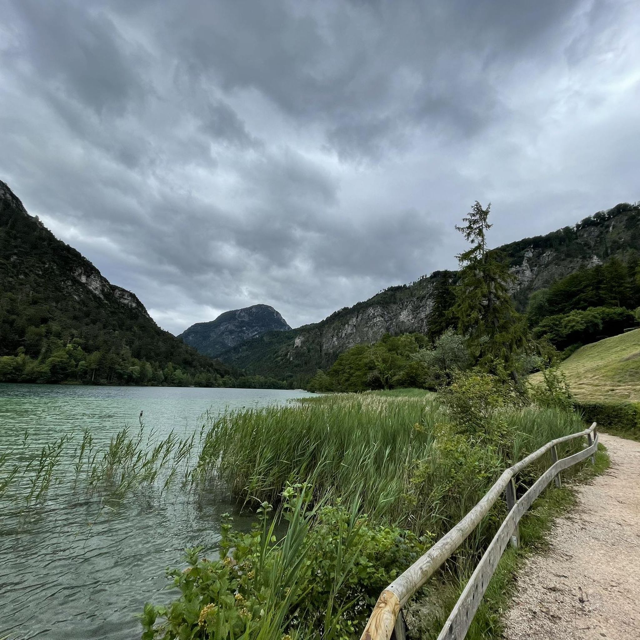
Very beautifully designed path.
0
0

Beautiful circular route at Thumsee
0
0

Enjoy the peace and quiet, the view, listen to the cowbells, and drink a shandy...so simple.
0
0

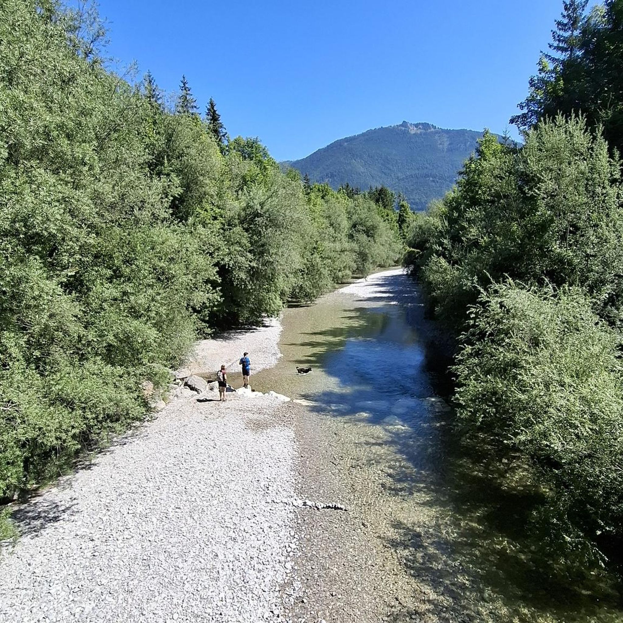
Small place to rest or go swimming
0
0

Frequently Asked Questions
How many mountaineering routes are available around Thumsee?
There are over 160 mountaineering routes around Thumsee, offering a wide range of options for different skill levels. You'll find a mix of moderate and difficult trails to explore the Bavarian Alps.
What kind of natural features can I expect to see on mountaineering routes near Thumsee?
Mountaineering routes around Thumsee often feature stunning views of the picturesque Lake Thumsee, which is surrounded by a nature conservation area. You'll also experience the dramatic mountain panorama of the Prealps, including prominent peaks like Hochstaufen, and traverse varied landscapes of forests, valleys, and alpine meadows. The region is known for its crystal-clear waters and tranquil natural beauty.
Are there any challenging mountaineering routes for experienced climbers?
Yes, Thumsee and the surrounding Chiemgau and Berchtesgaden Alps offer numerous challenging routes. For instance, the Müritag Trail – Scenic Ascent to the Gaisberg loop is a difficult route covering over 16 km with significant elevation gain. The nearby Hochstaufen mountain also provides demanding trails, including via ferratas like the Pidinger via ferrata, known as Bavaria's most difficult.
What do other mountaineers enjoy most about the routes in Thumsee?
The mountaineering routes around Thumsee are highly rated by the komoot community, with an average score of 4.7 stars from over 760 reviews. Mountaineers often praise the diverse terrain, the breathtaking views of Lake Thumsee and the surrounding Alps, and the well-maintained paths that lead through tranquil forests and alpine pastures.
Are there any family-friendly mountaineering options around Thumsee?
While many mountaineering routes are moderate to difficult, the broader Thumsee area offers easier paths suitable for families. For instance, the 2.5-kilometer hiking trail directly around Lake Thumsee is ideal for families and strollers, providing a gentle introduction to the region's beauty. For slightly more challenging but still manageable options, look for routes described as 'moderate' that avoid extreme elevation or technical sections.
Can I bring my dog on the mountaineering trails?
Many trails in the Thumsee region are dog-friendly, allowing you to enjoy the mountain scenery with your canine companion. However, it's always advisable to check specific route descriptions for any restrictions, especially in nature conservation areas or on routes that might involve difficult terrain or livestock. Always keep your dog on a leash where required and ensure they are well-behaved and fit for the chosen route.
Are there any circular mountaineering routes in the Thumsee area?
Yes, many mountaineering routes around Thumsee are designed as loops, allowing you to start and end at the same point. An example of a moderate circular route is the View of Lake Hintersee loop, which offers scenic views and a rewarding experience without needing a return trip arrangement.
What is the best time of year for mountaineering around Thumsee?
The best time for mountaineering around Thumsee is generally from late spring to early autumn (May to October), when the weather is most stable and trails are clear of snow. Summer offers warm temperatures for high-altitude routes, while spring and autumn provide cooler weather and vibrant foliage. Winter mountaineering is possible but requires appropriate gear and experience due to snow and ice conditions.
Are there places to eat or drink near the mountaineering trailheads?
Yes, the Thumsee area offers several options for refreshments. You can find restaurants like Seewirt on Lake Thumsee or Madlbauer Restaurant at Thumsee, which are conveniently located near the lake and accessible from various trailheads. These spots are perfect for a meal or a drink after your mountaineering adventure.
What are some notable landmarks or points of interest to look out for on the routes?
Beyond the stunning mountain views, you'll encounter the beautiful Thumsee itself, a central highlight. The region is also home to the 'Seemösl' water lily farm, a unique natural attraction showcasing various water lily varieties in a swamp pond. Keep an eye out for traditional alpine pastures and charming mountain huts along your way.
Are there any easy mountaineering routes suitable for beginners?
While many routes are moderate to difficult, beginners can find suitable options by choosing routes with lower elevation gain and shorter distances. Look for trails described as 'moderate' that stick to well-marked paths and avoid technical sections. These routes will allow you to experience the mountain environment without requiring advanced mountaineering skills.
How can I access the mountaineering routes around Thumsee using public transport?
Thumsee is located near Bad Reichenhall, which has public transport connections. From Bad Reichenhall, local buses can take you closer to the Thumsee area and various trailheads. It's recommended to check local bus schedules and routes in advance to plan your access to specific starting points for your mountaineering tours.
Most popular routes around Thumsee
Most popular attractions around Thumsee

Get inspired with the komoot mobile app


Explore more
Browse the best Mountain Hikes & Routes in other regions.
