The best running trails around Hörsteiner Lake
4.4
(1276)
15,905
runners
717
runs
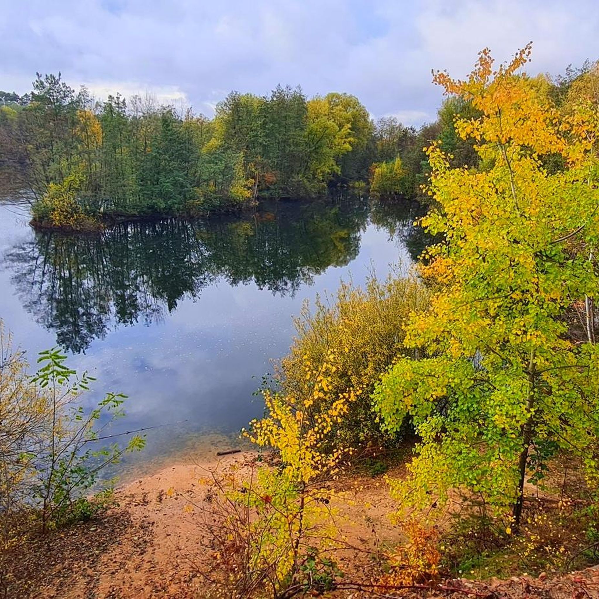
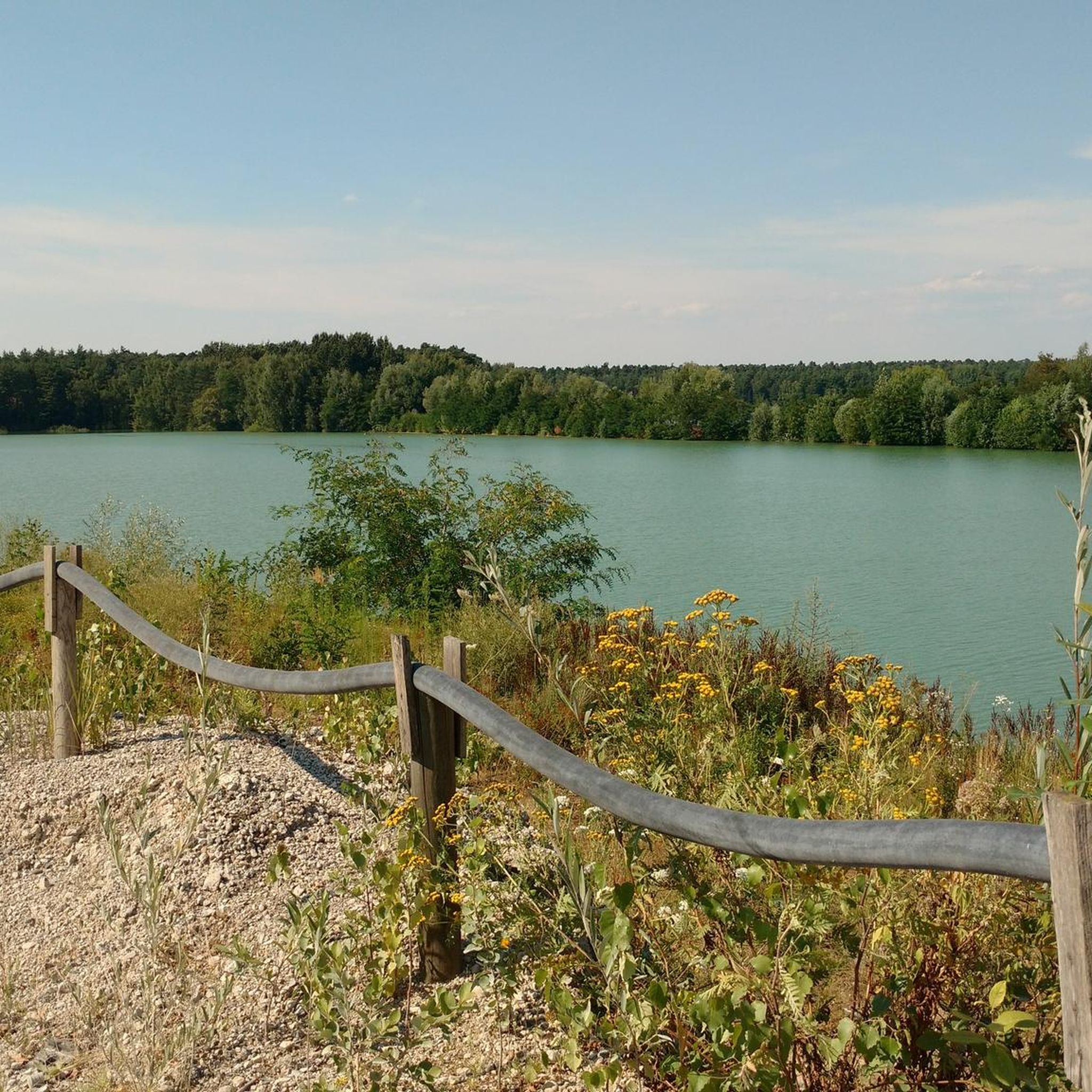
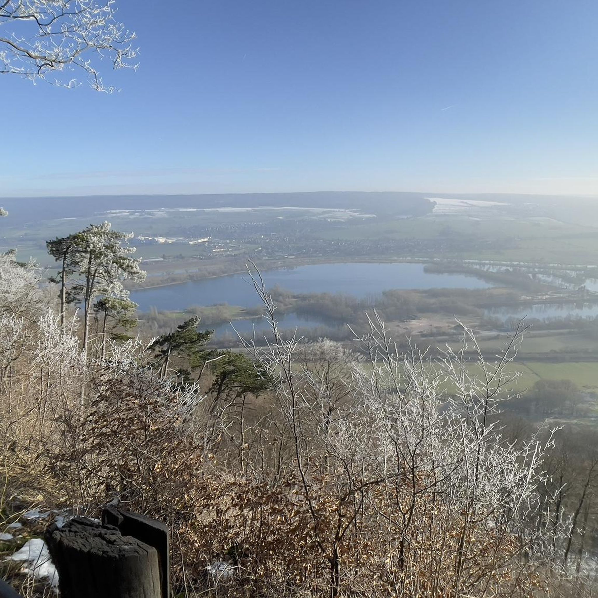
Jogging around Hörsteiner Lake offers diverse running routes through a landscape characterized by the lake itself, surrounding forests, and parts of the Kahler Seenplatte. The region, a former gravel pit now under landscape protection, provides a tranquil natural backdrop for outdoor activities. Trails often feature views of the lake and lead through varied natural environments, including areas near the Alzenauer Sande nature reserve and the Main River. This combination of water bodies and woodlands creates varied terrain suitable for different…
Last updated: August 11, 2026
4.7
(7)
353
runners
Hard run. Very good fitness required. Mostly paved surfaces. Suitable for all skill levels.
3.0
(1)
50
runners
8.67km
00:54
20m
20m
Moderate run. Good fitness required. Mostly paved surfaces. Suitable for all skill levels.

Sign up for free
4.8
(6)
42
runners
Moderate run. Good fitness required. Mostly paved surfaces. Suitable for all skill levels.
5.0
(2)
38
runners
7.21km
00:46
20m
20m
Moderate run. Good fitness required. Mostly paved surfaces. Suitable for all skill levels.
5.0
(1)
40
runners
Hard run. Very good fitness required. Mostly paved surfaces. Suitable for all skill levels.
Get access to more routes and recommendations from other explorers.
Sign up for free
Already have an account?
Our route recommendations are based on thousands of hikes, rides, and runs completed by other people on komoot.
Start today with a free account
Your next adventure awaits.
Login or Signup
Tips from the Community

Interesting markers showing historic Main flood levels - a quick, thought-provoking stop worth a glance.
0
0

Here comes the Engländer Trail down.
0
0
There is a lot to discover at the waterworks.
0
0
You can read well here.
0
0

Without this bridge, even joggers would have to walk a very long way to the next opportunity to cross the Main.
1
0
Most runners here do not have a view of the basilica, which is well worth seeing.
1
0
The path on the bridge is very narrow, so be careful!
1
0

Beautiful running route directly on the Main with a beautiful, new surface.
0
0
Frequently Asked Questions
What makes Hörsteiner Lake a good destination for running?
Hörsteiner Lake, the largest lake in Unterfranken, offers a tranquil natural backdrop for running. As a former gravel pit now under landscape protection, it provides diverse running routes through lakeside scenery, surrounding forests of the Unterwald, and areas near the Alzenauer Sande nature reserve. This combination of water bodies and woodlands creates a varied and scenic environment for runners.
How many running routes are available around Hörsteiner Lake?
There are over 690 running routes available around Hörsteiner Lake. This extensive network ensures options for various ability levels, from shorter, easier paths to longer, more challenging routes.
Are there easy running paths suitable for beginners or casual joggers?
Yes, Hörsteiner Lake offers 77 easy running routes, perfect for beginners or those looking for a more relaxed jog. These paths often feature gentle terrain and scenic views, allowing for an enjoyable experience.
Are there challenging routes for experienced runners?
Absolutely. For experienced runners seeking a challenge, there are 90 difficult routes around Hörsteiner Lake. One such route is the Lowest point in Bavaria – Seligenstadt Main Ferry loop from Dettingen (Main), a 23.1 km trail that explores the Main River and the lowest point in Bavaria.
Can I find circular running routes around Hörsteiner Lake?
Yes, many of the running routes around Hörsteiner Lake are circular, allowing you to start and end at the same point. The lake's perimeter itself is about 3.3 km, making it suitable for a complete loop, and numerous other circular trails extend into the surrounding forests and landscapes.
What kind of terrain can I expect on the running trails?
The terrain around Hörsteiner Lake is varied. You can expect paths along the serene lakeside, through dense forests of the Unterwald, and near natural reserves like the Alzenauer Sande. The region is part of the Kahler Seenplatte, implying a mix of water bodies and natural landscapes, offering a diverse running experience.
Are the running trails around Hörsteiner Lake suitable for families?
Yes, many routes are suitable for families. The variety of easy and moderate paths, often through tranquil forests and along the lake, provides pleasant options for family outings. Look for shorter, less elevated routes for a comfortable family jog.
Can I bring my dog on the running trails around Hörsteiner Lake?
While the lake itself is completely fenced, the surrounding trails and forests generally welcome dogs. However, it's always recommended to keep your dog on a leash, especially in nature protection areas like Alzenauer Sande, to protect local wildlife and ensure a pleasant experience for all users.
What natural features or landmarks can I see while running?
While running, you'll encounter the expansive Hörsteiner Lake, which is the largest in Unterfranken. Routes often lead through the tranquil Unterwald forests and near the Alzenauer Sande nature reserve, offering views of diverse flora and fauna. The broader region is also part of the Kahler Seenplatte, providing interconnected water bodies and landscapes.
Where can I park when visiting Hörsteiner Lake for a run?
Parking facilities are available in the vicinity of Hörsteiner Lake. Many routes, such as the Schluchthof Restaurant loop from Dettingen (Main), often start from areas with accessible parking, making it convenient for runners to begin their journey.
How can I reach Hörsteiner Lake using public transport?
Hörsteiner Lake is accessible via public transport, with connections to nearby towns like Dettingen (Main) and Alzenau. Check local bus schedules for routes that serve the lake area or its immediate surroundings to plan your journey.
What do other runners say about the trails around Hörsteiner Lake?
The running routes around Hörsteiner Lake are highly rated by the komoot community, with an average score of 4.4 stars from over 950 reviews. Runners often praise the serene lakeside views, the peaceful forest paths, and the well-maintained trails that cater to various fitness levels.
Are there places to eat or drink near the running routes?
Yes, there are cafes, restaurants, and pubs in the towns and villages surrounding Hörsteiner Lake, such as Dettingen (Main). The Schluchthof Restaurant loop from Dettingen (Main), for example, suggests a route that passes by a local eatery, offering a convenient stop after your run.
Most popular routes around Hörsteiner Lake

Get inspired with the komoot mobile app


Explore more
Browse the best Running Trails & Routes in other regions.
