The best mountain hikes around Zellsee
3.6
(11)
55
hikers
5
hikes
Mountaineering routes around Zellsee are situated within a diverse alpine landscape, characterized by the crystal-clear waters of Lake Zell and the surrounding mountain ranges, including the rugged rock faces of the Kitzsteinhorn and the Pinzgau grass mountains of the Schmittenhöhe. The region features high mountain reservoirs, deep gorges with waterfalls, and accessible peaks, offering varied terrain for mountaineering. This area provides a range of routes from moderate ascents to more challenging expeditions, catering to different skill levels.
Best mountaineering routes…
Last updated: July 5, 2026
4.9
(9)
35
hikers
10.9km
03:27
390m
390m
Moderate mountaineering route. Good fitness required. Mostly accessible paths. Sure-footedness required.
3.0
(1)
6
hikers
12.3km
03:58
420m
420m
Moderate mountaineering route. Good fitness required. Mostly accessible paths. Sure-footedness required.

Sign up for free
3
hikers
4.26km
01:37
210m
210m
Moderate mountaineering route. Great for any fitness level. Mostly accessible paths. Sure-footedness required.
2
hikers
5.11km
01:33
190m
190m
Easy mountaineering route. Great for any fitness level. Easily-accessible paths. Suitable for all skill levels.
1
hikers
4.54km
01:33
200m
200m
Moderate mountaineering route. Great for any fitness level. Mostly accessible paths. Sure-footedness required.
Our route recommendations are based on thousands of hikes, rides, and runs completed by other people on komoot.
Start today with a free account
Your next adventure awaits.
Login or Signup
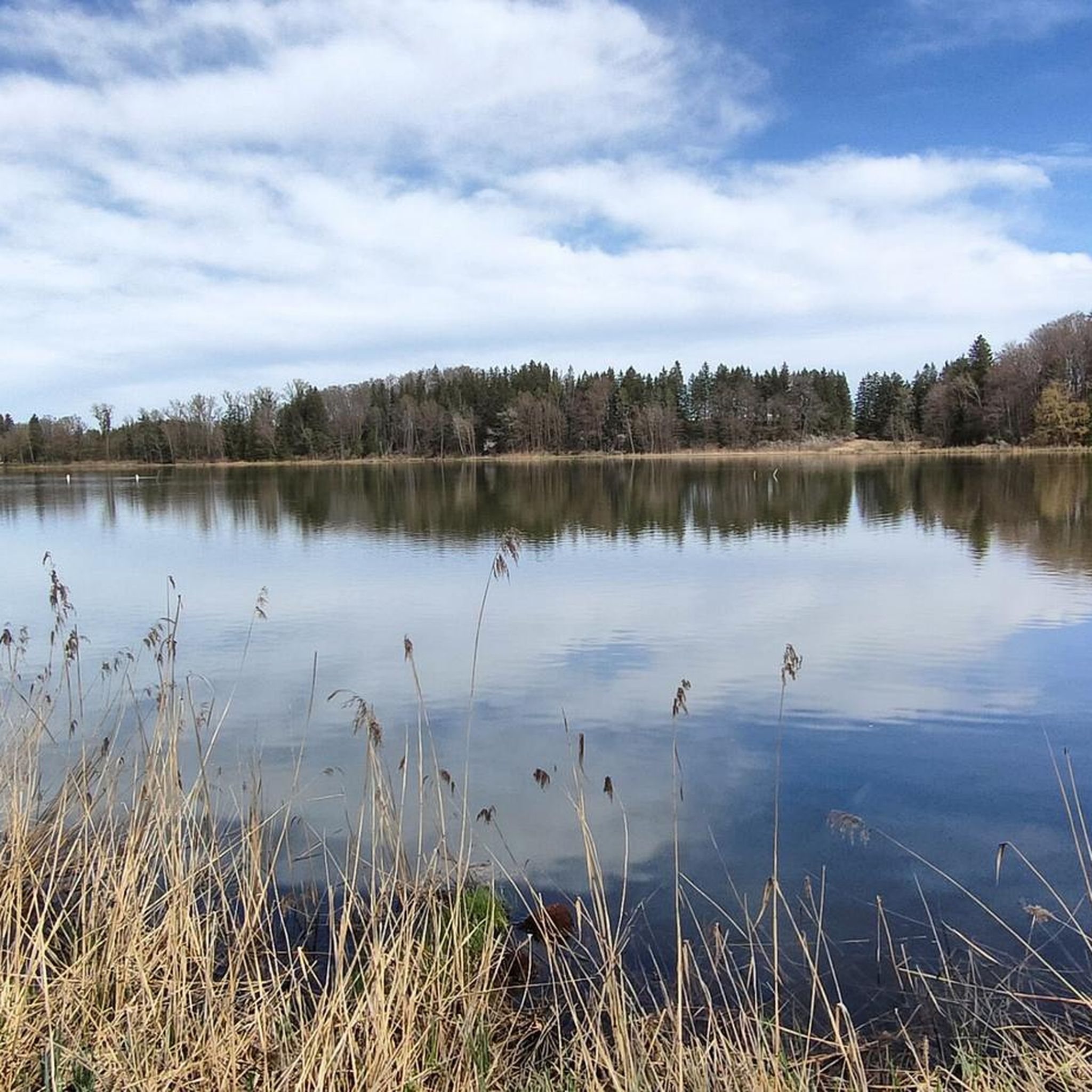
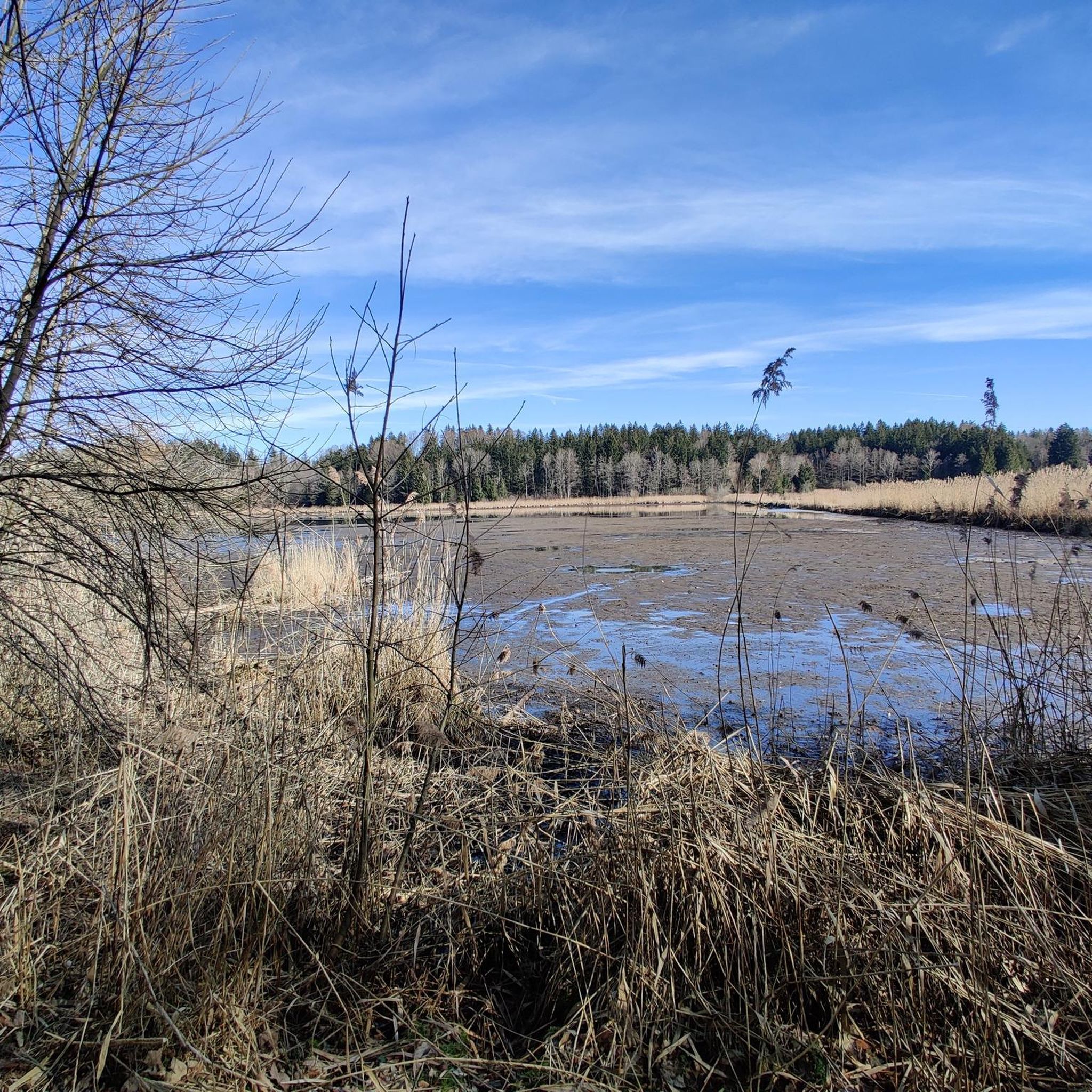
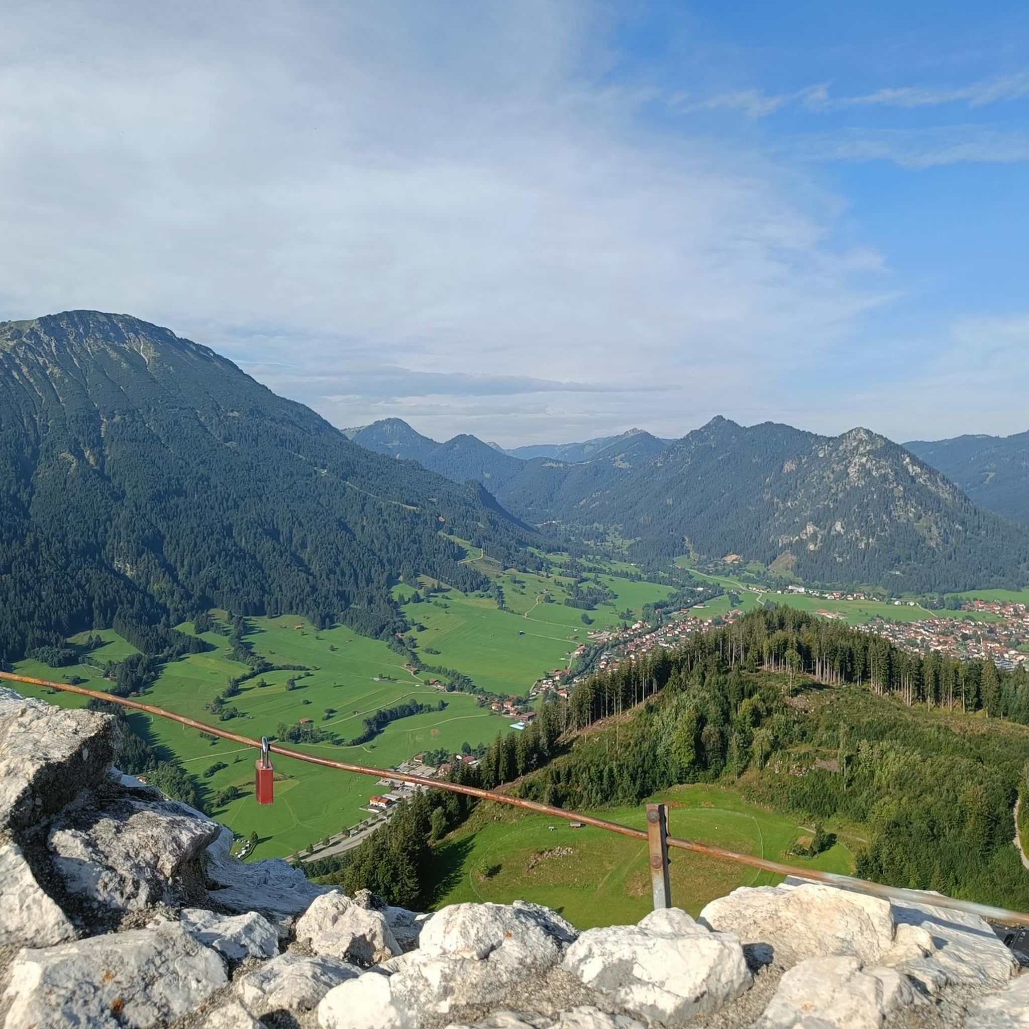
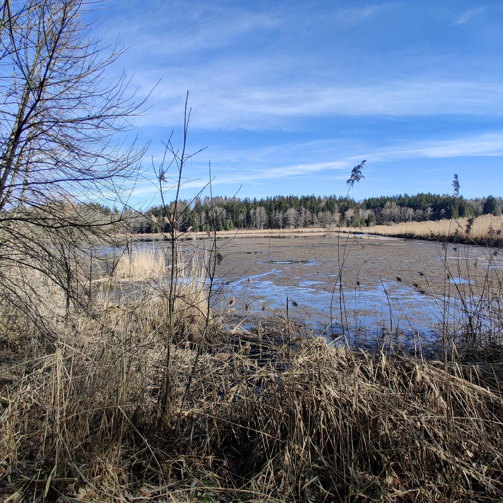
Tips from the Community

Good inn in Hohenpeißenberg
1
0
Great view in all directions from Bayrischen Rigi
1
0
Beautiful pilgrimage church Mariä Himmelfahrt on the Hohen Peißenberg
1
0
Great view of the mountains
1
0
Small Herz-Jesu chapel on the path on the western side of Hohenpeißenberg
1
0
Beautiful view of the Alps mountain range
1
0

So, if you look south from the Hohen Peißenberg hill next to the Church of the Assumption of Mary, you can definitely see into the Ammer Valley. To see the Loisach River, you'd have to look as far as Penzberg, Murnau, or Garmisch-Partenkirchen. That might be difficult. Maybe I'll remember to bring my binoculars next time. Let's see if I can spot the Loisach in the distance, or if hills and mountains are in the way.
1
0

It's simply beautiful here, and you're rarely alone. Please keep that in mind on weekends 😉 Great views and lots of trails to choose from.
1
0
Frequently Asked Questions
How many mountaineering routes are available around Zellsee?
There are over 5 mountaineering routes around Zellsee listed in this guide, offering a range of experiences from moderate ascents to more challenging expeditions. The region itself, nestled between Lake Zell and the Salzburg Slate Alps, provides a vast and diverse alpine landscape for exploration.
Are there any easy mountaineering routes suitable for beginners near Zellsee?
Yes, for those new to mountaineering or seeking a less strenuous experience, the region offers accessible options. An easy route to consider is View from Hohenpeißenberg – Herz-Jesu Chapel loop from Hohenpeißenberg, which is about 3.2 miles (5.1 km) long and takes around 1 hour 33 minutes to complete. This route provides a gentle introduction to the area's beautiful scenery.
What kind of views can I expect on the mountaineering routes around Zellsee?
Mountaineering routes around Zellsee offer breathtaking panoramic views. You can expect vistas of the crystal-clear Lake Zell, the rugged rock faces of the Kitzsteinhorn, and the rolling Pinzgau grass mountains of the Schmittenhöhe. Many routes, such as Musikpunkt Peißenberg – View from Hohenpeißenberg loop from Peißenberg, specifically highlight views from prominent points like Hohenpeißenberg.
Are there any circular mountaineering routes in the Zellsee region?
Yes, many routes around Zellsee are designed as loops, allowing you to start and end at the same point. For example, the Peißenberg Mining Museum loop from Peißenberg is a moderate 2.6 miles (4.2 km) trail that takes you through varied terrain in a circular fashion. Another option is the Hoher Peißenberg loop from Hohenpeißenberg.
What are some notable natural attractions or landmarks to see while mountaineering in Zellsee?
The Zell am See region is rich in natural beauty and impressive landmarks. Beyond the stunning Lake Zell, you can explore the majestic Kitzsteinhorn glacier, the vast Hohe Tauern National Park, and the panoramic Schmittenhöhe mountain. The High Mountain Reservoirs of Kaprun, with their impressive dam walls, and the mystical Sigmund Thun Gorge near Kaprun are also significant natural highlights worth visiting.
What is the best time of year for mountaineering in Zellsee?
The best time for mountaineering in Zellsee generally depends on the specific route and your experience level. Summer and early autumn offer ideal conditions for most trails, with pleasant temperatures and clear paths. However, the Kitzsteinhorn glacier provides opportunities for mountain tours and even summer snow activities, while some via ferratas are accessible even in winter for experienced mountaineers.
Are there any challenging mountaineering routes for experienced climbers in Zellsee?
While this guide focuses on moderate routes, the broader Zell am See region offers significant challenges for experienced mountaineers. Peaks like the Grossglockner, Austria's highest, and the Hochkönig, with its demanding Königsjodler via ferrata, provide advanced climbing opportunities. The Rettenwand area of the Kitzsteinhorn and the Höhenburg Climbing Arena also feature numerous via ferratas and climbing routes for all skill levels.
Is it possible to find mountain huts along the mountaineering routes in Zellsee?
Yes, the Zell am See region is well-equipped with cozy huts and alpine pastures strategically located along many hiking and climbing routes. These huts offer refreshments, local delicacies, and often provide overnight stays, making them perfect resting points during longer mountaineering expeditions.
What do other mountaineers say about the routes around Zellsee?
The mountaineering routes around Zellsee are highly regarded by the komoot community, with an average score of 3.9 stars from over 10 reviews. Mountaineers often praise the diverse terrain and the stunning views from points like Hohenpeißenberg, making for a rewarding experience.
Are there options for public transport to reach mountaineering trailheads in Zellsee?
Many areas in Zell am See, such as Schmittenhöhe, are easily accessible via cable cars, which can be reached by public transport. The Zell am See-Kaprun Card often includes free lift rides, enhancing accessibility to various mountain attractions and trailheads. It's advisable to check local bus and train schedules for specific starting points.
Are the mountaineering routes around Zellsee suitable for families?
Yes, the region offers family-friendly options. The Schmittenhöhe, for instance, is known as a panoramic and family-friendly mountain with scenic hiking trails, including the Sisi circular trail. While this guide features moderate routes, the overall area provides a range of difficulties, ensuring there are suitable paths for families to enjoy the alpine scenery together.
Where can I find parking for mountaineering routes in Zellsee?
Parking availability varies by trailhead. For routes starting from towns like Peißenberg or Hohenpeißenberg, there are typically designated parking areas. It's always recommended to check specific route descriptions or local signage upon arrival for the most accurate parking information.
Most popular routes around Zellsee

Get inspired with the komoot mobile app


Explore more
Browse the best Mountain Hikes & Routes in other regions.
