The best MTB trails around Thruscross Reservoir
4.6
(73)
482
riders
31
rides
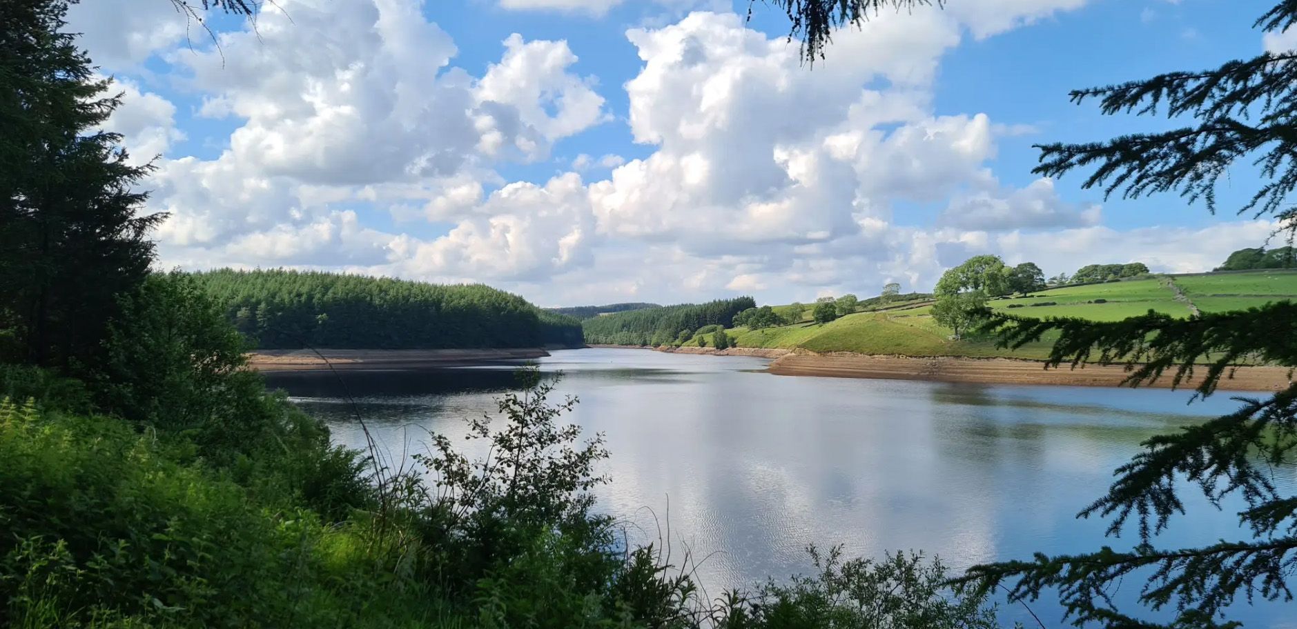
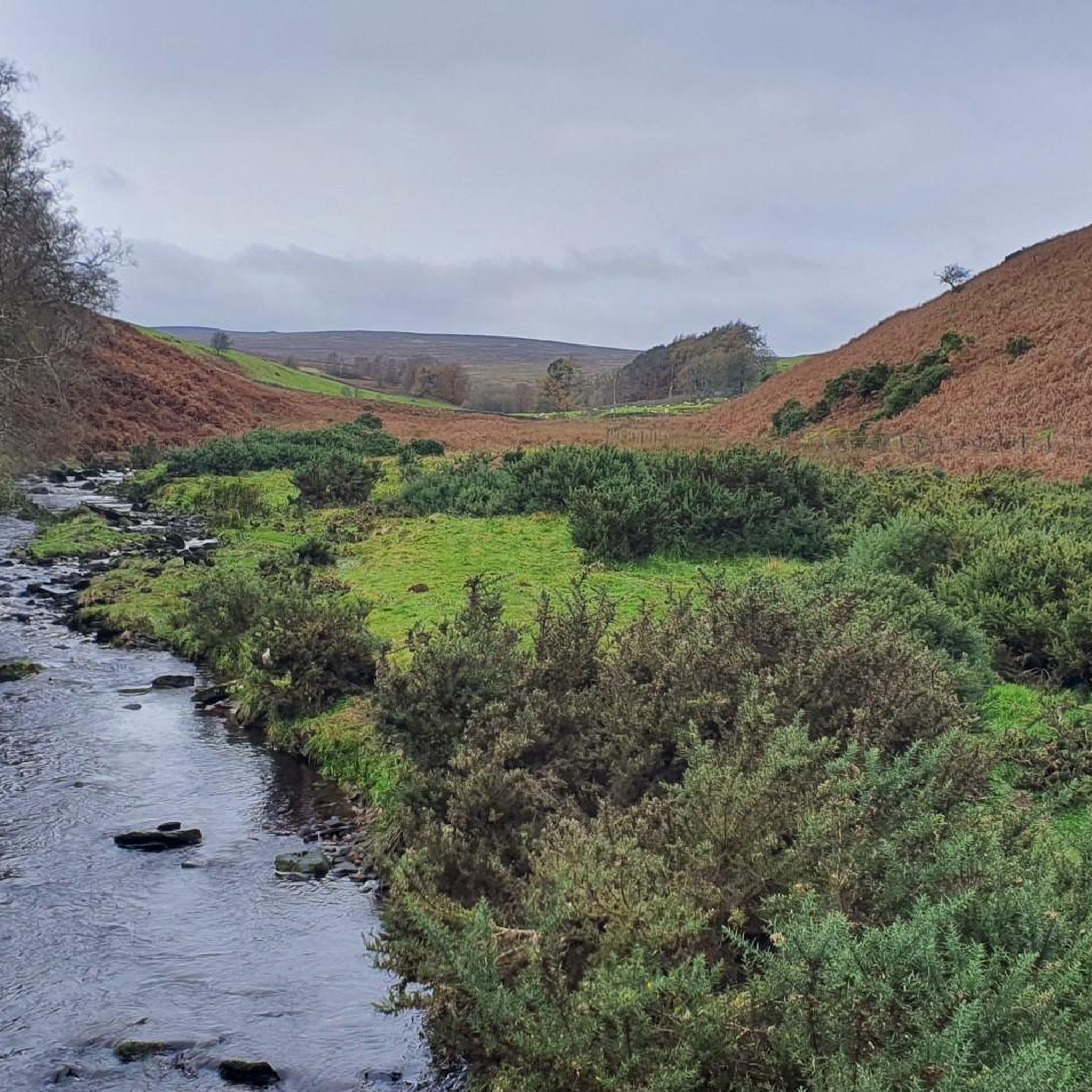
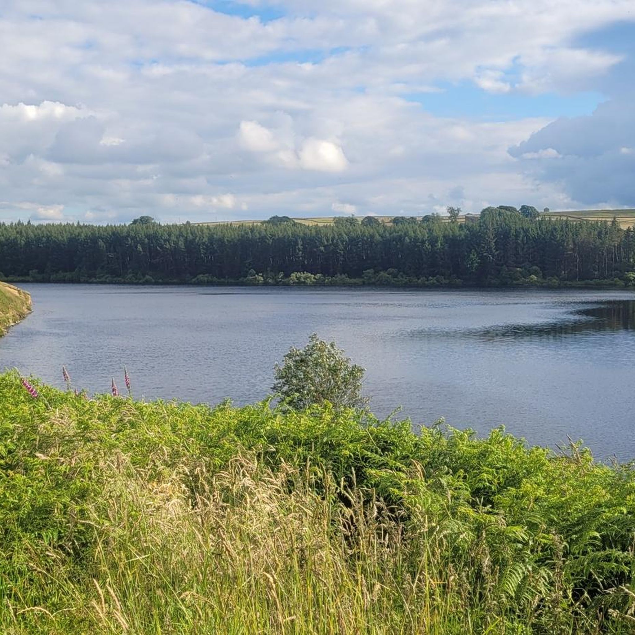
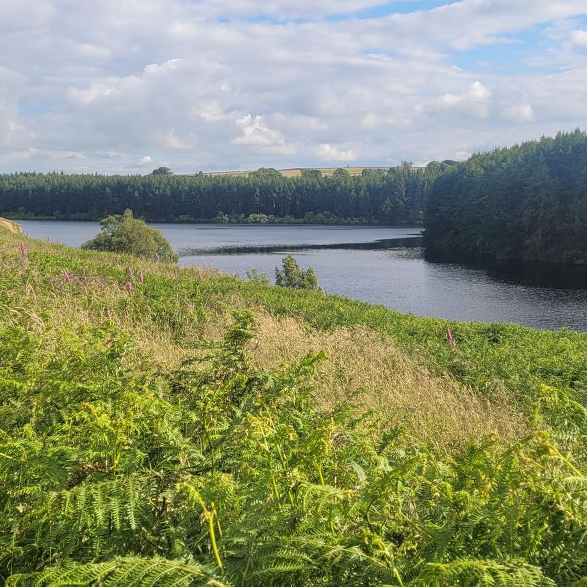
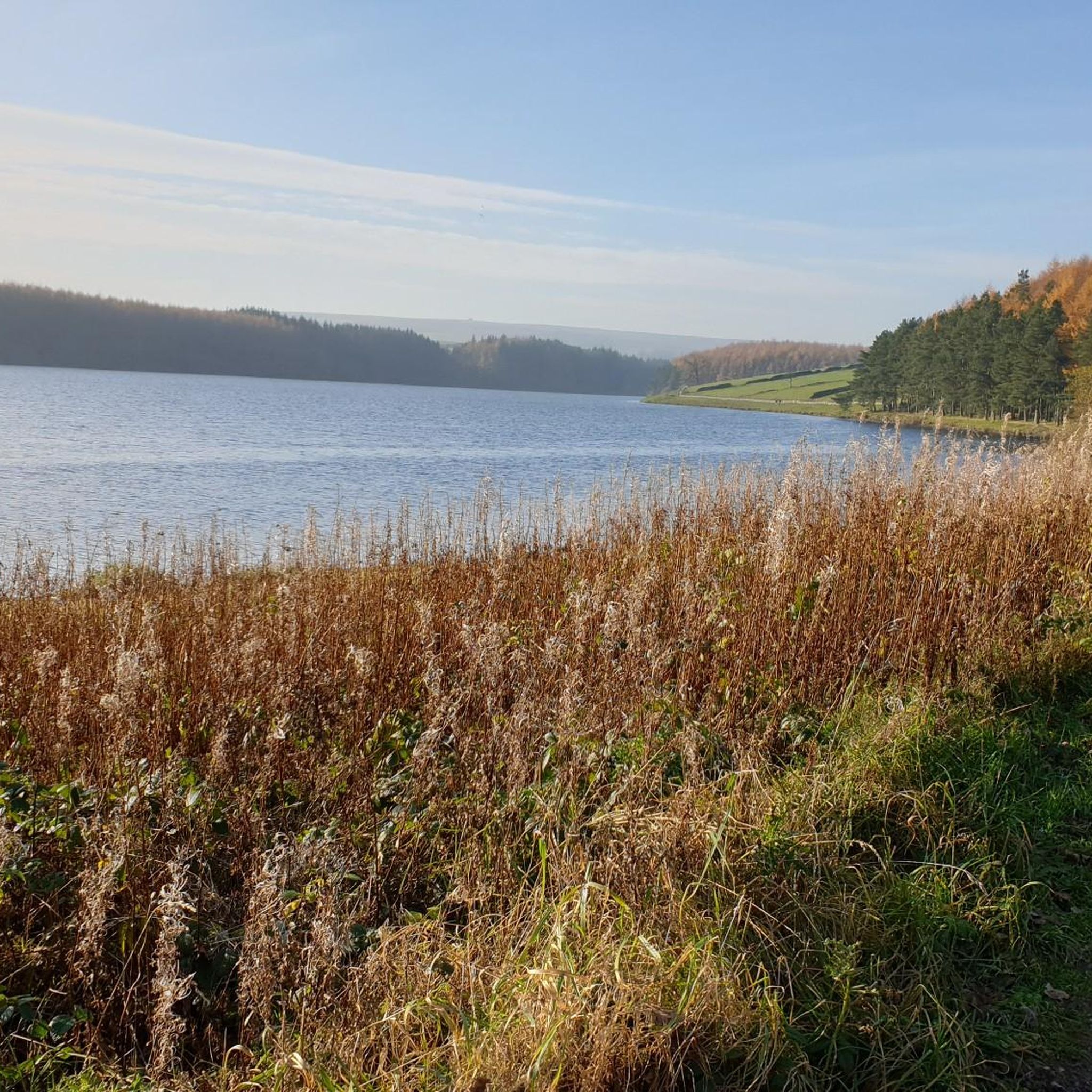
Mountain biking around Thruscross Reservoir offers diverse landscapes in the Washburn Valley of North Yorkshire. The area features a mix of woodlands, rough pastures, and open moorlands, with geographical highlights including crags, ghylls, and streams. The reservoir itself, the highest in the valley, provides a wilder, more desolate feel, with panoramic views of the surrounding moorland. This varied terrain creates a range of mountain bike trails suitable for different skill levels.
Best mountain bike trails around Thruscross Reservoir
- The most…
Last updated: July 8, 2026
4.7
(3)
11
riders
21.8km
01:53
440m
440m
Moderate mountain bike ride. Good fitness required. Advanced riding skills necessary.
4.7
(9)
46
riders
41.6km
03:12
790m
790m
The Pately Bridge loop offers a moderate mountain biking experience through the varied landscapes of Nidderdale National Landscape. You will cover 25.8 miles (41.6 km) and gain 2603 feet (793…

Sign up for free
7
riders
Moderate mountain bike ride. Good fitness required. Advanced riding skills necessary.
5.0
(3)
35
riders
Moderate mountain bike ride. Good fitness required. Suitable for all skill levels.
14
riders
54.8km
04:09
1,000m
1,010m
Hard mountain bike ride. Very good fitness required. Advanced riding skills necessary.
Get access to more routes and recommendations from other explorers.
Sign up for free
Already have an account?
Our route recommendations are based on thousands of hikes, rides, and runs completed by other people on komoot.
Start today with a free account
Your next adventure awaits.
Login or Signup
Other adventures around Thruscross Reservoir

Tips from the Community


In Moor lane is a byway that runs over In Moor in Nidderdale. This section is fun on a mountain bike, either as a descent towards Scar House reservoir or as a climb up onto the moor. It drops off the moor to the reservoir quite steeply, so watch out! This track is used by the Nidderdale Way long distance walking trail, so watch out for walkers.
0
0

Nice friendly pub with great food and a nice outside area
0
0


Be careful on gravel on fast off camber turn.. not much grip.
1
0

Completed in 1936 Scar House Reservoir was built to supply water to the Bradford area. It was built after Angram reservoir which is directly upstream and after Gouthwaite reservoir located a few miles downstream. The dam is 55m high in the middle.
0
0

Fabulous valley views looking down towards Helks Wood
0
0
Frequently Asked Questions
How many mountain bike trails are available around Thruscross Reservoir?
There are over 30 mountain bike trails around Thruscross Reservoir listed on komoot. These routes cater to various skill levels, from easy to difficult, ensuring options for most riders.
What kind of terrain can I expect on mountain bike trails near Thruscross Reservoir?
The terrain around Thruscross Reservoir is diverse, featuring a mix of woodlands, rough pastures, and open moorlands. You'll encounter geographical highlights such as crags, ghylls (ravines), and streams. The area's elevated and remote location contributes to a wilder, more desolate feel, offering panoramic views of the surrounding moorland.
Are there any family-friendly mountain bike routes in the area?
Yes, the area offers easy routes that are suitable for beginners and families, often lasting up to two hours with minimal elevation gain. These trails provide a great way to enjoy the scenic Washburn Valley without requiring advanced skills.
Can I bring my dog on the mountain bike trails around Thruscross Reservoir?
Many trails in the Thruscross Reservoir area are dog-friendly, but it's always best to check specific route details on komoot for any restrictions or recommendations, especially concerning livestock or protected areas. Keeping dogs on a lead is often advised.
What are some unique natural features or landmarks to look out for while mountain biking?
While mountain biking, you can look out for the dramatic concrete dam of Thruscross Reservoir itself. During periods of low water, remnants of the submerged village of West End can become visible, adding an intriguing historical dimension. The area is also an official Dark Sky Discovery Site, offering excellent stargazing opportunities if you're out after dusk.
Are there any circular mountain bike routes around Thruscross Reservoir?
Yes, many routes in the area are designed as loops. For example, the Denton Moor – Red Gate Trail loop from Blubberhouses is a popular moderate circular route exploring varied landscapes. Another option is the View of Scar House Reservoir – Scar House Descent loop from Pateley Bridge, which leads through moorland and past reservoirs.
What is the best time of year to go mountain biking near Thruscross Reservoir?
The best time to visit is generally during spring, summer, and early autumn when the weather is milder and trails are drier. However, the wilder, more desolate feel of the reservoir can be particularly atmospheric in other seasons. Always check the weather forecast before heading out, as conditions can change rapidly on the open moorland.
Where can I find amenities like cafes or pubs after a ride?
While Thruscross Reservoir itself is quite remote, nearby villages and towns offer amenities. Pateley Bridge, for instance, is a good base with options for cafes and pubs. Some routes, like the Royal Oak Pub – Smeltbakes Dessert Café loop from Pateley Bridge, even incorporate stops at local establishments.
Is there parking available for mountain bikers at Thruscross Reservoir?
Parking is generally available at designated spots around the reservoir and in nearby villages. It's advisable to check specific starting points of routes on komoot for detailed parking information to ensure convenience and compliance with local regulations.
How challenging are the mountain bike trails around Thruscross Reservoir?
The trails range from easy to difficult. You'll find easy routes for beginners, moderate trails requiring good fitness, and hard routes that can take over five hours with significant elevation changes. Some advanced sections may even require pushing your bike, with technical difficulties rated up to S3-S6 on the Single Track Scale.
What do other mountain bikers say about the trails here?
The mountain bike trails around Thruscross Reservoir are highly rated by the komoot community, with an average score of 4.7 stars from over 73 reviews. Riders often praise the varied terrain, scenic views, and the sense of wildness and remoteness the area offers.
Are there options for more advanced mountain bikers seeking a challenge?
Absolutely. For experienced riders, there are hard routes that involve significant elevation changes and technical sections. Additionally, nearby Stainburn features dedicated red trails with berms, jumps, and rocky technical features, catering to those looking for more adrenaline-fueled rides.
Can I reach the trails by public transport?
Access to Thruscross Reservoir by public transport can be limited due to its remote location. While some bus services might reach nearby villages, direct access to trailheads often requires a car. Planning your route in advance and checking local transport schedules is recommended.
Most popular routes around Thruscross Reservoir

Get inspired with the komoot mobile app


Explore more
Browse the best MTB trails in other regions.
