The best running trails around Tindale Tarn
4.5
(6)
584
runners
68
runs
Jogging around Tindale Tarn offers a diverse experience through the scenic North Pennines. The region features a mix of tarn-side paths, open countryside, and trails through nature reserves. Runners can expect varied terrain, including gentle inclines and more challenging ascents, providing options for different fitness levels.
Best jogging routes around Tindale Tarn
- The most popular jogging route is Tindale Tarn loop from Hallbankgate — North Pennines, a 7.2 miles (11.6 km) trail that takes 1 hour 18 minutes to…
Last updated: July 2, 2026
3
runners
14.5km
01:54
490m
490m
Hard run. Very good fitness required. Mostly paved surfaces. Suitable for all skill levels.
5
runners
Moderate run. Good fitness required. Mostly paved surfaces. Suitable for all skill levels.

Sign up for free
2
runners
11.6km
01:18
170m
170m
Moderate run. Good fitness required. Mostly accessible paths. Some sure footedness required.
7
runners
6.58km
00:42
80m
80m
Moderate run. Good fitness required. Mostly paved surfaces. Suitable for all skill levels.
5
runners
10.1km
01:04
120m
120m
Moderate run. Good fitness required. Mostly paved surfaces. Suitable for all skill levels.
Get access to more routes and recommendations from other explorers.
Sign up for free
Already have an account?
Our route recommendations are based on thousands of hikes, rides, and runs completed by other people on komoot.
Start today with a free account
Your next adventure awaits.
Login or Signup
Tips from the Community

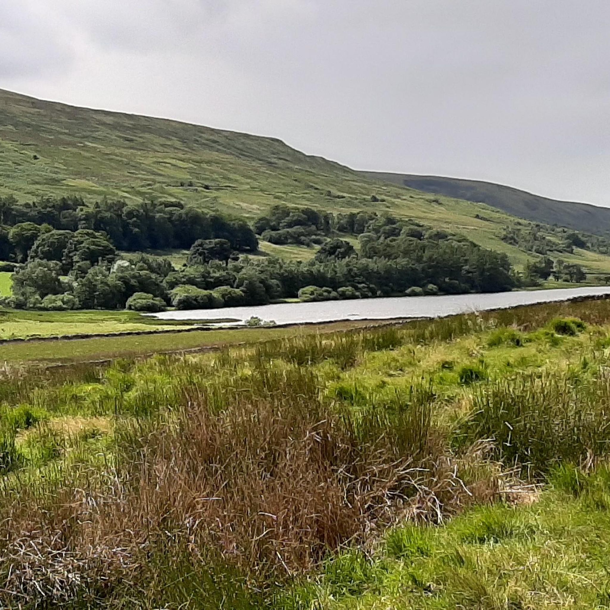
Cold Fell, at 621 m (2,037 ft), is a rather remote and boggy mountain top just south of Tindale Tarn. It makes for a good hiking outing from Hallbankgate, taking in the Brunwath Viewpoint. Being a UK designated Nuttall and Marilyn, it is a popular hiking point offering expansive views over Cumbria and the Lake District.
0
0
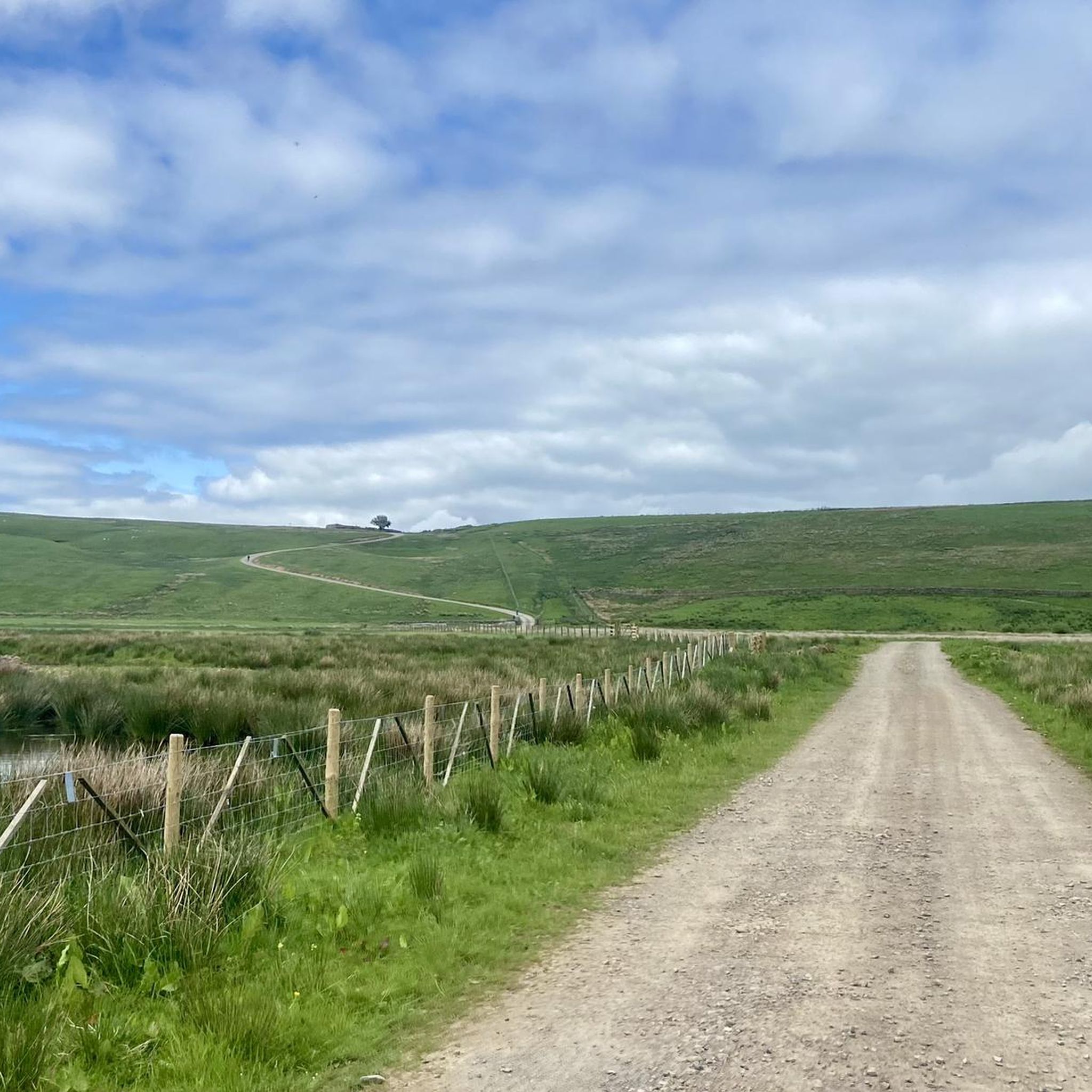
Bruthwaite Viewpoint, sometimes referred to as Brunwath, is a beautiful scenic overlook on the way up to Cold Fell. There are lovely views to be had from here out over the moorland towards the Solway Firth and Scotland.
0
0

Detouring off the main path for a bit, you can easily reach this small structure from where you can peacefully observe not only the tarn but also the wildlife around it.
1
0
As part of the Earls of Carlisle estate, these limekilns were built in the first half of the 19th century, next to the quarry. If you continue around the tarn, from the opposite side, you'll also have very beautiful (and broader) views of this spot.
1
0
This building near Tindale Tarn is a Grade II listed structure that was constructed in the late 15th century as a tower house for Lord Dacre. Later, in the mid-19th century, it was expanded. Some of the sandstone rubble walls in the older section can be as thick as two meters.
1
0

A speedy and scenic descent through the foothills of the Tarnmonath Fell hilltop along a mixture of grassy and rocky paths.
0
0
Here you can enjoy sensational views over the remote Scottish landscape of The Gairs.
3
0

Cold Fell is the most northerly mountain in Cumbria. It's in the North Pennines range with an altitude of 621m. The local prominence also gives it Marilyn status (Marilyns have a prominence of at least 150 regardless of height or other features, as of 2020 there are 2011 Marilyns).
1
0
Frequently Asked Questions
How many running routes are available around Tindale Tarn?
Tindale Tarn offers a wide selection of running routes, with over 70 options to explore. These range from easy, flat paths to more challenging trails with significant elevation gain, catering to various fitness levels.
Are there any easy or beginner-friendly jogging routes in the Tindale Tarn area?
Yes, Tindale Tarn has several easy running routes perfect for beginners or those looking for a relaxed jog. There are 7 routes specifically rated as easy. For a gentle introduction, consider the Hallbankgate loop from Hallbankgate, which is 3.5 miles (5.6 km) and takes you through pleasant rural village surroundings.
What kind of terrain can I expect on the running trails around Tindale Tarn?
The terrain around Tindale Tarn is quite varied, offering a diverse experience. You'll find a mix of tarn-side paths, open countryside, and trails winding through nature reserves. Expect everything from gentle inclines to more challenging ascents, providing options for different running preferences.
Are there any circular running routes in Tindale Tarn?
Many of the running routes around Tindale Tarn are circular, allowing you to start and finish in the same location. A popular choice is the Tindale Tarn loop from Hallbankgate — North Pennines, which is 7.2 miles (11.6 km) and offers scenic views of the tarn and the surrounding Pennine landscape.
Can I spot wildlife while running in Tindale Tarn?
Absolutely! The region, particularly areas like the Geltsdale RSPB Nature Reserve, is excellent for wildlife spotting. The Geltsdale RSPB Nature Reserve – Tarn Viewpoint and Bird Hide loop from Hallbankgate is a moderate 3.4-mile (5.4 km) path specifically designed for enjoying the local fauna.
Are there challenging running trails for experienced runners in Tindale Tarn?
Yes, for those seeking a more strenuous workout, Tindale Tarn offers 13 difficult-rated routes. A challenging option is the Brunwath Viewpoint – View of The Gairs loop from Hallbankgate, a 9-mile (14.5 km) trail with significant elevation changes, providing a rewarding experience for seasoned runners.
What do other runners think about the trails in Tindale Tarn?
The running routes in Tindale Tarn are highly regarded by the komoot community, holding an average rating of 4.0 stars. Runners often praise the varied terrain, the beautiful tarn-side paths, and the opportunities for wildlife observation within the nature reserves.
Is Tindale Tarn suitable for winter running?
While the North Pennines can experience harsh winter conditions, many trails around Tindale Tarn remain accessible. However, it's crucial to check local weather forecasts, trail conditions, and be prepared with appropriate gear for ice and snow. Some lower-elevation or village loops might be more manageable.
Are there any cafes or places to get refreshments near the running routes?
The village of Hallbankgate, which serves as a common starting point for many routes, offers local amenities where you might find refreshments. It's always a good idea to check opening times, especially outside of peak season.
What is the best time of year to go running in Tindale Tarn?
Spring and summer generally offer the most pleasant conditions for running around Tindale Tarn, with milder weather and longer daylight hours. Autumn also provides beautiful scenery with changing foliage. Always be prepared for changeable weather in the North Pennines, regardless of the season.
Are there any running routes that pass through villages or offer a mix of natural and built environments?
Yes, some routes combine natural landscapes with charming village surroundings. The Hallbankgate Village loop from Hallbankgate is a moderate 4.1-mile (6.6 km) route that allows you to experience both the rural village atmosphere and nearby paths.
Most popular routes around Tindale Tarn

Get inspired with the komoot mobile app


Explore more
Browse the best Running Trails & Routes in other regions.
