The best walks and hikes around Catcleugh Reservoir
4.2
(53)
240
hikers
20
hikes
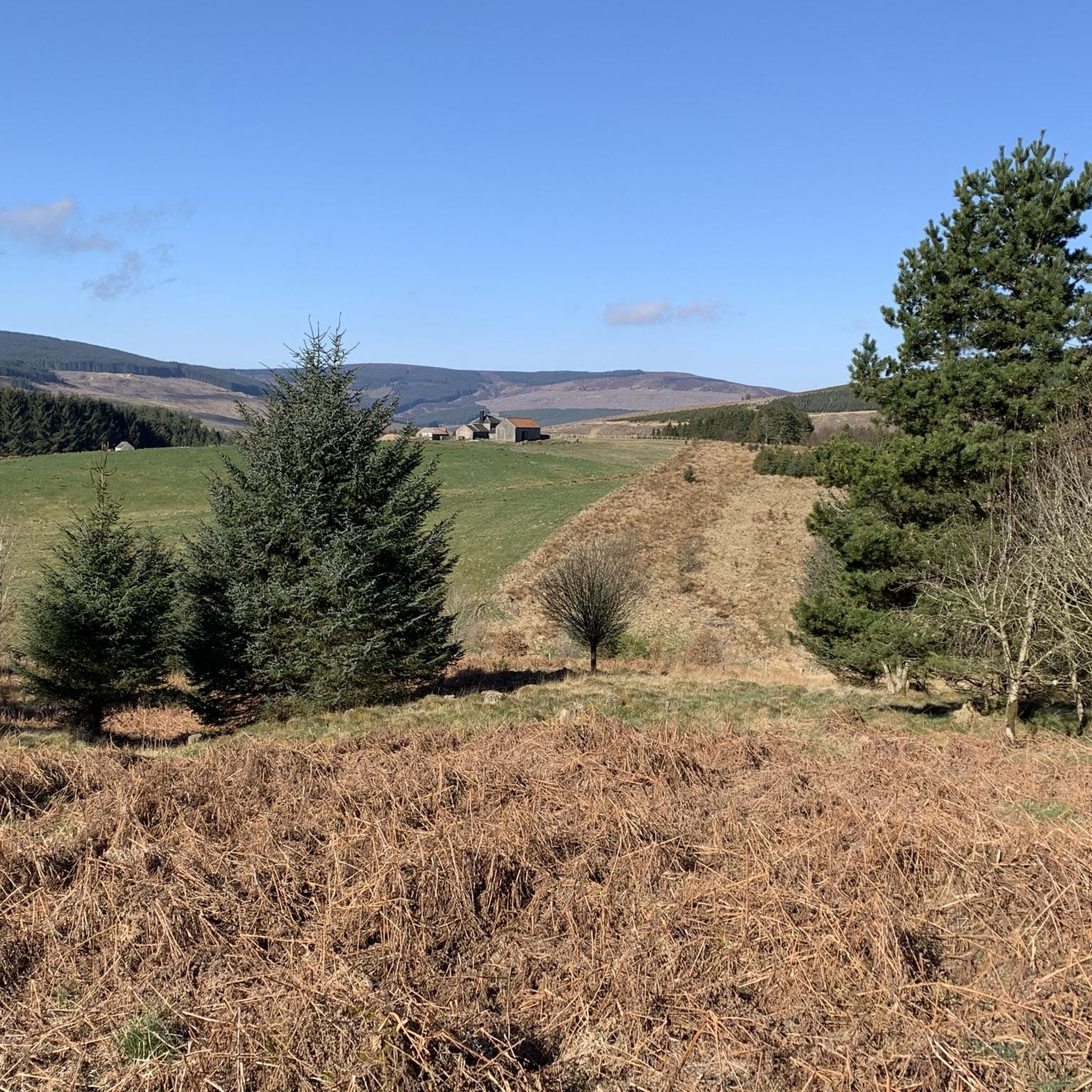
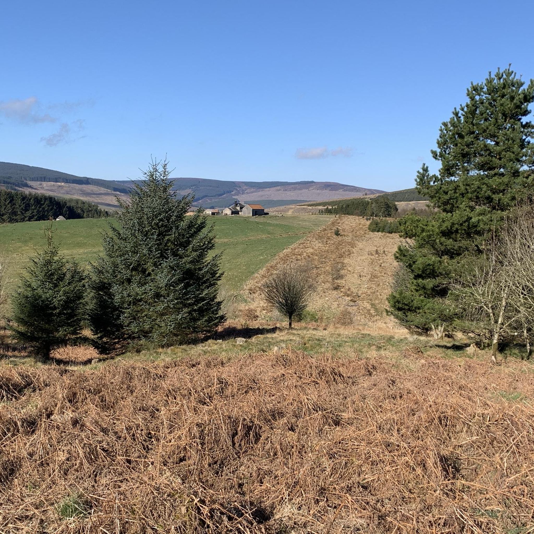
Hikes around Catcleugh Reservoir explore the landscape of Northumberland National Park. The area is defined by the large Victorian-era reservoir, surrounded by a mix of conifer woodlands, open moorland, and rolling hills. Trails follow the shoreline and also ascend into the higher ground of the surrounding fells, offering expansive views.
Best hiking trails around Catcleugh Reservoir
- The most popular hiking route is Hungry Law Summit Trig Point – Spithope Bothy loop from Byrness, an 8.4 mile (13.5 km) trail that takes about 3 hours 50 minutes to complete. The route features a climb to a summit trig point and passes a mountain refuge hut.
- Another top favourite among local hiking enthusiasts is Byrness Start Point – Hindhope Linn Waterfall loop from Byrness, a moderate 5.9 mile (9.5 km) path. This route leads through forest to the Hindhope Linn waterfall.
- Local hiking enthusiasts also love the Chew Green Roman Fortlet – Yearning Saddle Refuge Hut loop from Byrness, a 17.8 mile (28.7 km) trail leading through remote moorland, often completed in about 8 hours 10 minutes.
- Hiking around Catcleugh Reservoir is defined by reservoir shoreline paths, forest tracks, and open moorland ascents. The network of Catcleugh Reservoir walking trails provides options for various fitness and experience levels.
- The routes in Catcleugh Reservoir are highly rated by the komoot community with an average score of 3.9 stars from more than 30 reviews. More than 170 hikers have used komoot to explore Catcleugh Reservoir's varied terrain.
Last updated: November 8, 2026
5.0
(2)
14
hikers
13.6km
03:59
350m
350m
Moderate hike. Good fitness required. Easily walkable paths.
5.0
(3)
12
hikers
9.57km
02:34
120m
120m
Moderate hike. Good fitness required. Easily walkable paths.

5.0
(1)
9
hikers
28.7km
08:12
620m
620m
Hard hike. Very good fitness required. Easily walkable paths.
5.0
(1)
8
hikers
20.2km
05:54
520m
520m
Hard hike. Very good fitness required. Mostly walkable paths. Sure-footedness required.
1.0
(1)
2
hikers
15.8km
04:31
380m
380m
Moderate hike. Good fitness required. Mostly walkable paths. Sure-footedness required.
Get access to more routes and recommendations from other explorers.
Already have an account?
Our route recommendations are based on thousands of hikes, rides, and runs completed by other people on komoot.
Start today with a free account
Your next adventure awaits.
Popular around Catcleugh Reservoir
Tips from the Community

Back into Byrness, there are rows of garages and houses in this village. It looks like a close knit community
0
0
The surface here was quite rough, uneven and different size small stones. Best rode on a mountain bike. Gravell bikes might go over it.
0
0

One second in Scotland the next in England.Impressive views
0
0

Carter Bar is a renowned spot for tourists to stop and capture photographs along the English-Scottish border. Two purposefully placed marker stones, including one crafted by local Borders stonemason Eddie Laub, stand on either side of the A68. From this vantage point, you can admire the beauty of Upper Redesdale, the Scottish Borders (including Tweeddale), and the Cheviot Hills. Despite its elevation offering breathtaking views, the pass's height also makes it susceptible to snowfall, with the possibility of snow persisting into late spring and early autumn. Consequently, Carter Bar pass may experience periodic closures during the winter due to snow-related conditions.
1
0
Passing through the campsite at Redesdale. This is a larger village and there are people around if needing any assistance or just to say hello to after being in quite remote locations
0
0

This route section forms part of the Pennine Way and crosses potentially boggy ground. The duckboards here help you make progress across what would otherwise be not that good a footpath. Otherwise it is typical Cheviot scenery of rolling moorland with a nearby forest.
0
0
An aptly named highlight where there is a nice big rock for one to stand on to look out over the scenic views towards Green Crag and Ravens Knowe.
1
0

There is a junction of paths at Coquet Head. A lone, "in the middle of nowhere" signposts offers different routes here. The Chew Green Bypass is a Pennine Way alternative route, saving half a mile to the summit of Windy Gyle. It's 4 miles to Byrness over rough ground. If you like windswept, wild and rough terrain, and that kind of thing moves you, you are in the right place for it!
1
0
Frequently Asked Questions
Are there many circular walks around Catcleugh Reservoir?
Yes, the area is well-suited for circular hikes. Many trails are designed as loops that start and finish at the same point, which is convenient if you are arriving by car. You can find routes that loop through forests, along parts of the reservoir's edge, or up into the surrounding fells. For a challenging option, the Byrness Start Point – Ravens Knowe Summit loop from Byrness offers great views from higher ground.
Where can I park for hikes around Catcleugh Reservoir?
There are several informal parking areas and lay-bys along the roads near the reservoir, particularly around the village of Byrness and near popular trailheads. These are often the starting points for many of the main walking routes. It's advisable to arrive early, especially on weekends, as spaces can be limited. Always park considerately, ensuring you do not block access for local residents or emergency vehicles.
Are the walking trails around Catcleugh Reservoir dog-friendly?
Yes, dogs are generally welcome on the trails. However, the area is part of Northumberland National Park, which includes farmland with livestock and sensitive wildlife habitats. Keep your dog under close control at all times, and on a lead where signposted, especially during bird nesting season (typically March to July) and near sheep.
Are there any easy, family-friendly hikes in the area?
While many routes involve significant climbs, there are easier options available. The area has 4 trails rated as easy. A popular choice for families nearby is the walk to Hareshaw Linn waterfall. It's known for its well-maintained paths and engaging scenery, making it a great adventure for children.
Can I get to Catcleugh Reservoir using public transport?
Reaching the heart of the Catcleugh Reservoir area by public transport is challenging due to its remote location within Northumberland National Park. Bus services are infrequent and may not run directly to the main trailheads. Most visitors find it more practical to travel by car to have the flexibility to access different starting points for hikes.
What is the history of Catcleugh Reservoir?
Catcleugh is a Victorian-era reservoir built between 1884 and 1905 to supply water to Tyneside. The project was a major feat of engineering for its time. During the summer, you may find opportunities for guided tours to see a restored 'Blackhouse', which offers a glimpse into the lives of the workers who constructed the dam. For more detailed information, you can visit the Northumberland National Park website.
How difficult are the hikes around Catcleugh Reservoir?
The difficulty varies widely. You'll find over 20 routes in total, with a good mix for different abilities. There are a handful of easy walks, but the majority are rated as moderate, often involving some elevation gain and mixed terrain. For experienced hikers seeking a challenge, there are also several difficult, long-distance routes that venture deep into the remote moorlands, such as the Chew Green Roman Fort loop from Byrness.
What do other hikers think of the trails here?
The trails around Catcleugh Reservoir are well-regarded by the komoot community. Reviewers often praise the stunning, unspoiled views across the reservoir and the feeling of remoteness on the moorland paths. The mix of forest tracks and open fell walking is frequently mentioned as a highlight.
Are there any waterfalls to see on the hikes?
Yes, the surrounding area features some beautiful waterfalls. Hindhope Linn is a splendid waterfall in a lush, wooded setting and is a highlight of several local walks. Another highly-regarded nearby walk leads to Hareshaw Linn, which is particularly popular and accessible.
Is wild camping permitted around the reservoir?
No, wild camping is not permitted in the immediate vicinity of Catcleugh Reservoir or in most of Northumberland National Park without the landowner's permission. The area is managed for water quality and conservation. If you plan to stay overnight, you should look for official campsites or other accommodation in the wider region.
What kind of wildlife might I see while hiking?
The area is a haven for wildlife. On the higher moorlands, you might spot breeding birds like golden plover and dunlin. Keep an eye on the sky for buzzards and ospreys. The woodlands and riverbanks are home to otters, red squirrels, badgers, and roe deer, though seeing them often requires patience and a bit of luck.
Most popular routes around Catcleugh Reservoir
Get inspired with the komoot mobile app


Explore more
Browse the best Hikes in other regions.