The best cycling routes around Malham Tarn
4.6
(111)
2,597
riders
103
rides
Touring cycling routes around Malham Tarn traverse a landscape characterized by dramatic limestone scenery, including cliffs, crags, and scars, alongside ancient dry-stone walls and hay meadows. The area features Malham Tarn, Britain's highest lime-rich lake, situated at 380 meters above sea level, and diverse wetland habitats within the Malham Tarn National Nature Reserve. Iconic landmarks such as Malham Cove and Gordale Scar also define the terrain, offering varied cycling experiences.
Best touring cycling routes around Malham Tarn
- The most popular touring cycling route is Catrigg Force Waterfall – View of Pen-y-Ghent loop from Malham Tarn, a 25.4 miles (40.8 km) trail that takes 3 hours 37 minutes to complete. This difficult route features significant elevation gain and views of the surrounding Yorkshire Dales.
- Another top favourite among local touring cyclists is Weets Top – Janet's Foss loop from Malham Tarn, a moderate 15.4 miles (24.7 km) path. This route offers varied terrain and passes by natural features like Janet's Foss waterfall.
- Local touring cyclists also love the Malham Tarn – Henside Road Near Malham Tarn loop from Malham Tarn, a 6.5 miles (10.4 km) trail leading through quiet roads and past the tarn, often completed in about 44 minutes.
- Touring cycling around Malham Tarn is defined by limestone scenery, fens, and raised bog, with iconic features like Malham Cove and Gordale Scar. The network offers options for different ability levels, from easy family-friendly routes to more challenging rides with considerable climbs.
- The routes in Malham Tarn are highly rated by the komoot community with an average score of 4.6 stars from over 90 reviews. More than 2,600 touring cyclists have used komoot to explore Malham Tarn's varied terrain.
Last updated: October 12, 2026
5.0
(1)
29
riders
40.8km
03:37
820m
820m
Hard bike ride. Very good fitness required. Mostly paved surfaces. Suitable for all skill levels.
3.0
(1)
16
riders
24.8km
02:02
440m
440m
Moderate bike ride. Good fitness required. Mostly paved surfaces. Suitable for all skill levels.

9
riders
10.4km
00:44
130m
130m
Easy bike ride. Great for any fitness level. Mostly paved surfaces. Suitable for all skill levels.
14
riders
31.5km
02:51
600m
600m
Hard bike ride. Very good fitness required. Mostly paved surfaces. Suitable for all skill levels.
7
riders
26.3km
01:56
480m
480m
Hard bike ride. Very good fitness required. Mostly paved surfaces. Suitable for all skill levels.
Get access to more routes and recommendations from other explorers.
Already have an account?
Our route recommendations are based on thousands of hikes, rides, and runs completed by other people on komoot.
Start today with a free account
Your next adventure awaits.
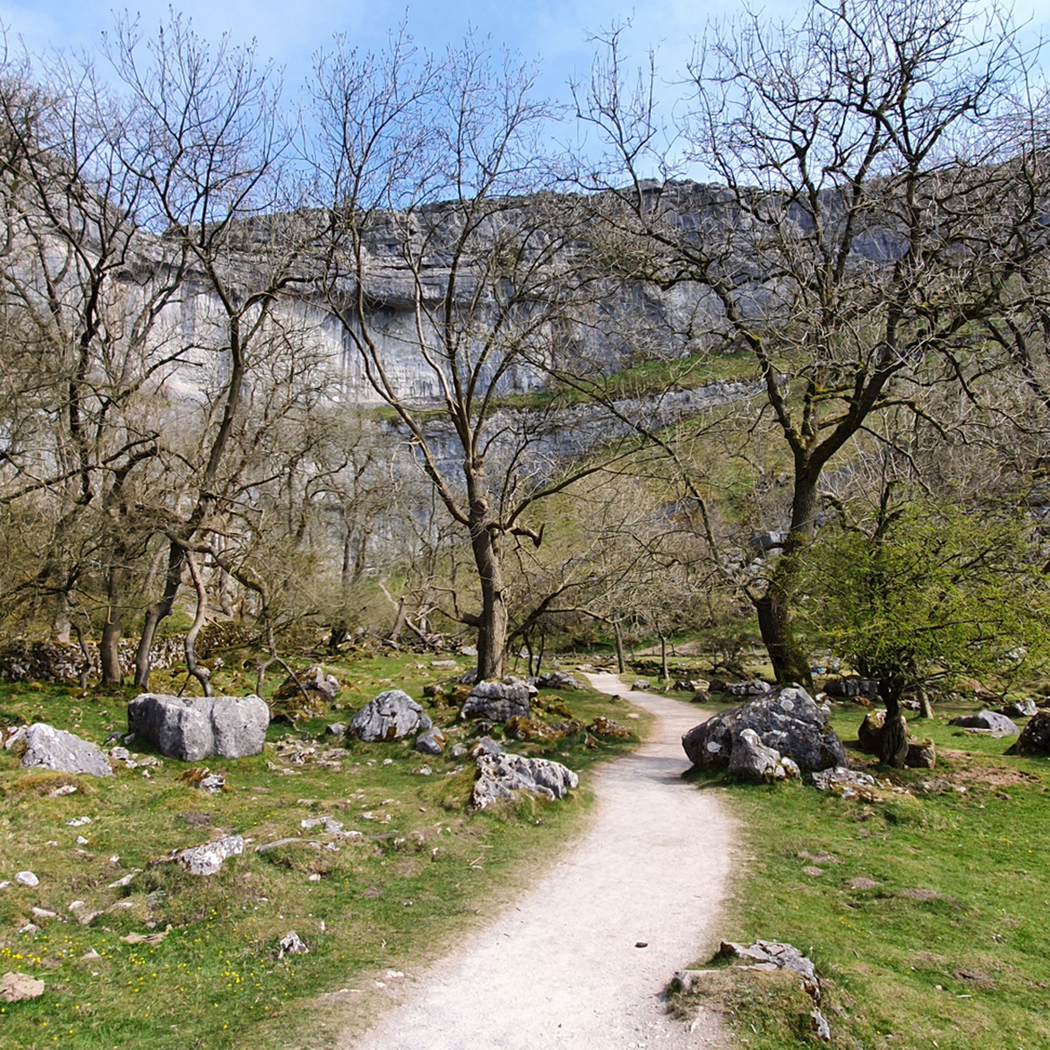
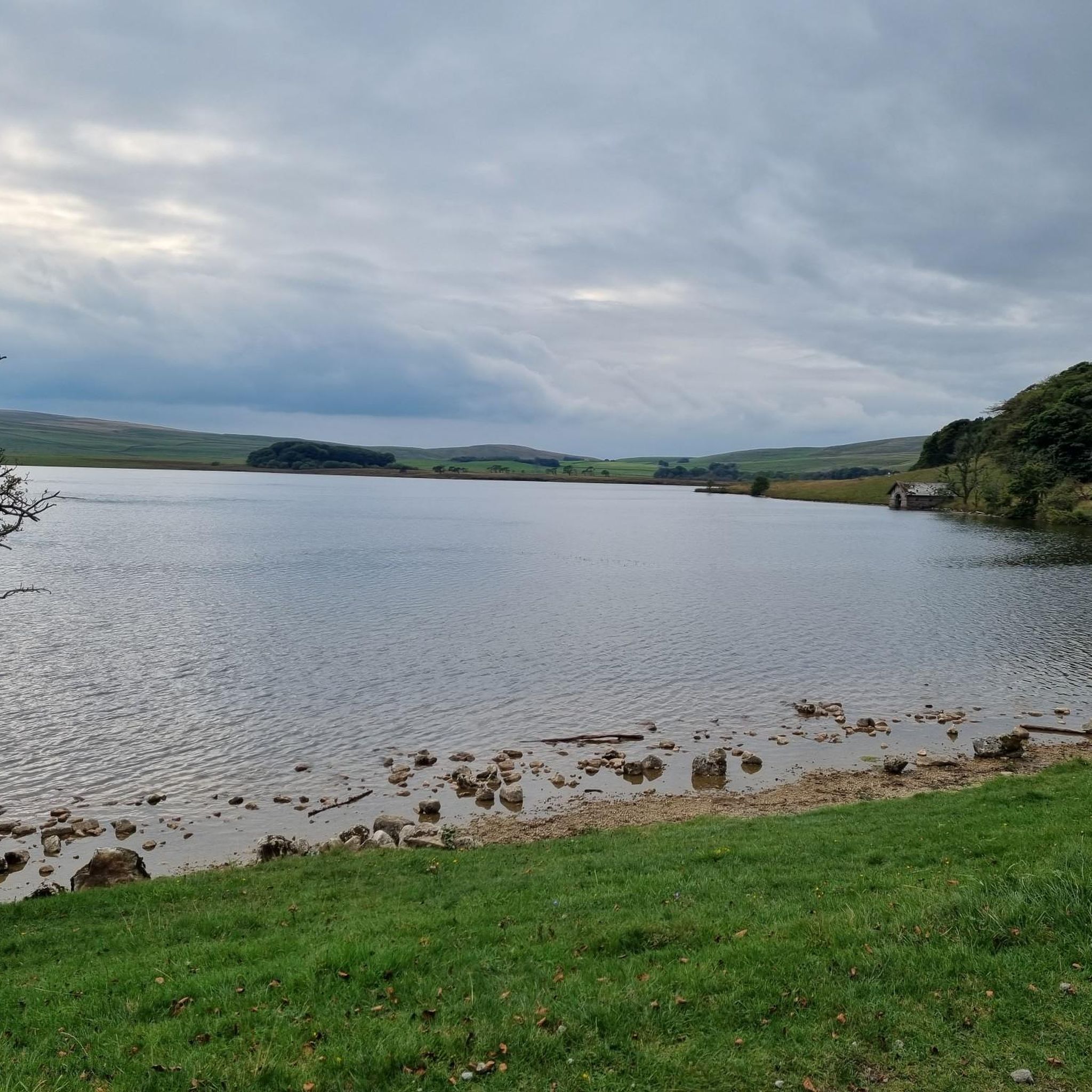
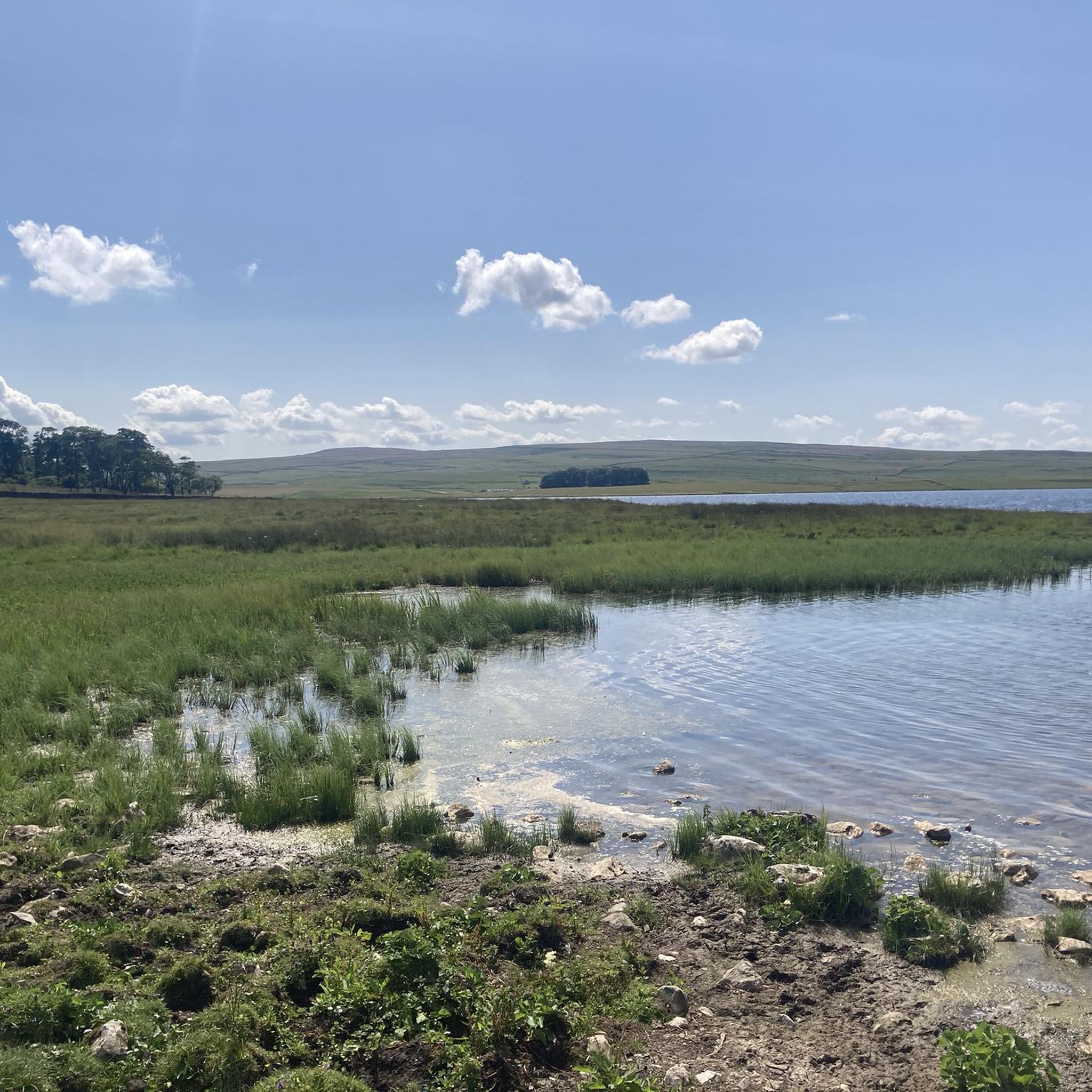
Tips from the Community

banging bit of track, can get some.Great speed on this section
0
0

Delicious burgers, soups, and cakes.
0
0

Historically, the centre served as a hub for ecological and geographical studies
0
0

Great section for cycling on, supsension is best.
0
0
Here you may get wet feet.
0
0
Frequently Asked Questions
What kind of terrain can I expect on touring cycling routes around Malham Tarn?
The Malham Tarn area offers a diverse range of terrain for touring cyclists. You'll encounter dramatic limestone scenery with cliffs, crags, and scars, alongside ancient dry-stone walls and hay meadows. Routes can include gravel and grassy tracks, quiet tarmac roads, and some unpaved sections that may require mountain biking skills or even pushing your bike. The area is known for its unique hydrological features, including the highest lime-rich lake in Britain, Malham Tarn itself, and diverse wetland habitats.
Are there family-friendly touring cycling routes near Malham Tarn?
Yes, Malham Tarn offers several family-friendly cycling options. A popular circular trail directly around Malham Tarn is ideal for families, following gravel and grassy tracks and quiet roads. This route is generally short and fairly level, providing excellent views of the tarn and opportunities for wildlife spotting. For a slightly longer, easy route, consider the Malham Tarn – Henside Road Near Malham Tarn loop from Malham Tarn, which is 6.5 miles (10.4 km) and takes about 44 minutes.
What natural landmarks and attractions can I see while cycling around Malham Tarn?
The Malham Tarn area is rich in natural beauty and iconic landmarks. You can cycle past the unique Malham Tarn itself, the highest lime-rich lake in Britain, and explore the diverse wetland habitats of the Malham Tarn National Nature Reserve. Nearby, you'll find the impressive Malham Cove, a vast limestone amphitheater, and Gordale Scar, a dramatic gorge with a waterfall. Janet's Foss, a smaller, picturesque waterfall nestled in natural woodland, is also a highlight. The Weets Top – Janet's Foss loop from Malham Tarn is a moderate route that passes by Janet's Foss.
Are there any circular touring cycling routes available?
Yes, many touring cycling routes around Malham Tarn are designed as circular loops, allowing you to start and end at the same point. For example, the Catrigg Force Waterfall – View of Pen-y-Ghent loop from Malham Tarn is a challenging 25.4-mile circular route, while the Malham Tarn – Henside Road Near Malham Tarn loop from Malham Tarn offers an easier, shorter circular option.
Where can I park my car when cycling in Malham Tarn?
A convenient car park with accessible toilets is located at Watersinks, near the start of some popular cycle routes around Malham Tarn. This provides a good base for exploring the area on two wheels.
What is the best time of year to go touring cycling in Malham Tarn?
The Malham Tarn area is beautiful year-round, but the best time for touring cycling is generally from spring to autumn (April to October) when the weather is milder and conditions are more predictable. During these months, you'll experience the vibrant flora of the hay meadows and fens, and the trails are typically drier. While winter cycling is possible, be prepared for colder temperatures, potentially icy conditions, and shorter daylight hours.
Are there cafes or pubs along the touring cycling routes in Malham Tarn?
While Malham Tarn itself is a more remote natural area, facilities are available in the nearby Malham village. Here you can find cafes and pubs to refuel during or after your ride. Some routes may pass through other charming villages like Kirkby Malham and Airton, which might also offer amenities. The Orchid House also provides toilet facilities along some routes.
What is the overall difficulty level of touring cycling routes in Malham Tarn?
Touring cycling routes around Malham Tarn cater to a wide range of abilities. You'll find easy, fairly level routes suitable for beginners and families, such as the direct loop around Malham Tarn. There are also numerous moderate and difficult routes, particularly those venturing into the wider Yorkshire Dales, which feature significant elevation gain and a mix of paved and unpaved surfaces. For example, the Kilnsey Descent – Boss Moor Lane loop from Malham Tarn is a difficult route with considerable climbs.
How many touring cycling routes are available in the Malham Tarn area?
There are over 100 touring cycling routes available for exploration in the Malham Tarn area. These routes are highly rated by the komoot community, with an average score of 4.6 stars from over 90 reviews, indicating a high level of satisfaction among cyclists who have experienced the diverse terrain and stunning scenery.
What do other touring cyclists enjoy most about cycling in Malham Tarn?
The area is highly rated by the komoot community, with an average score of 4.6 stars. Reviewers often praise the dramatic limestone scenery, the unique natural features like Malham Tarn and its surrounding nature reserve, and the variety of routes that cater to different skill levels. Cyclists appreciate the blend of challenging climbs and serene, picturesque paths, often highlighting the sense of adventure and the stunning views of the Yorkshire Dales.
Can I bring my dog on touring cycling routes around Malham Tarn?
Many outdoor areas in the Yorkshire Dales National Park are dog-friendly, but it's crucial to keep dogs under close control, especially in areas with livestock or sensitive wildlife habitats like the Malham Tarn National Nature Reserve. Always check local signage for specific restrictions. On cycling routes, ensure your dog is well-behaved and can keep pace, or is safely carried, to avoid disturbing other users or wildlife.
Are there any routes that feature waterfalls?
Yes, the Malham Tarn area is home to several beautiful waterfalls that can be incorporated into your cycling routes. The Catrigg Force Waterfall – View of Pen-y-Ghent loop from Malham Tarn is a challenging route that takes you past Catrigg Force. Additionally, Janet's Foss, a picturesque waterfall nestled in natural woodland, is a popular attraction that can be visited on routes like the Weets Top – Janet's Foss loop from Malham Tarn.
Most popular routes around Malham Tarn

Get inspired with the komoot mobile app


Explore more
Browse the best Cycling routes in other regions.
