The best mountain hikes around Kempter Forest
4.8
(78)
613
hikers
14
hikes
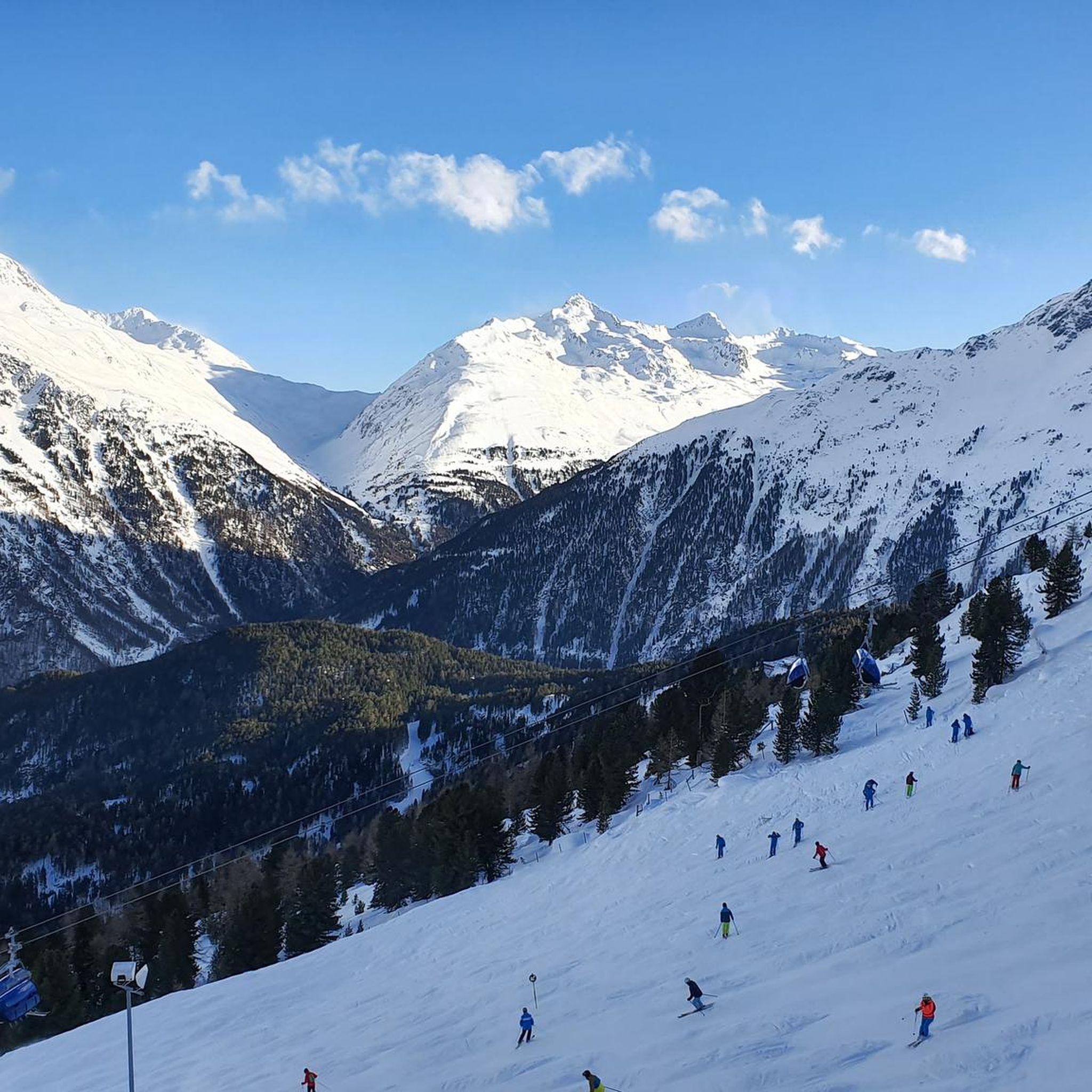
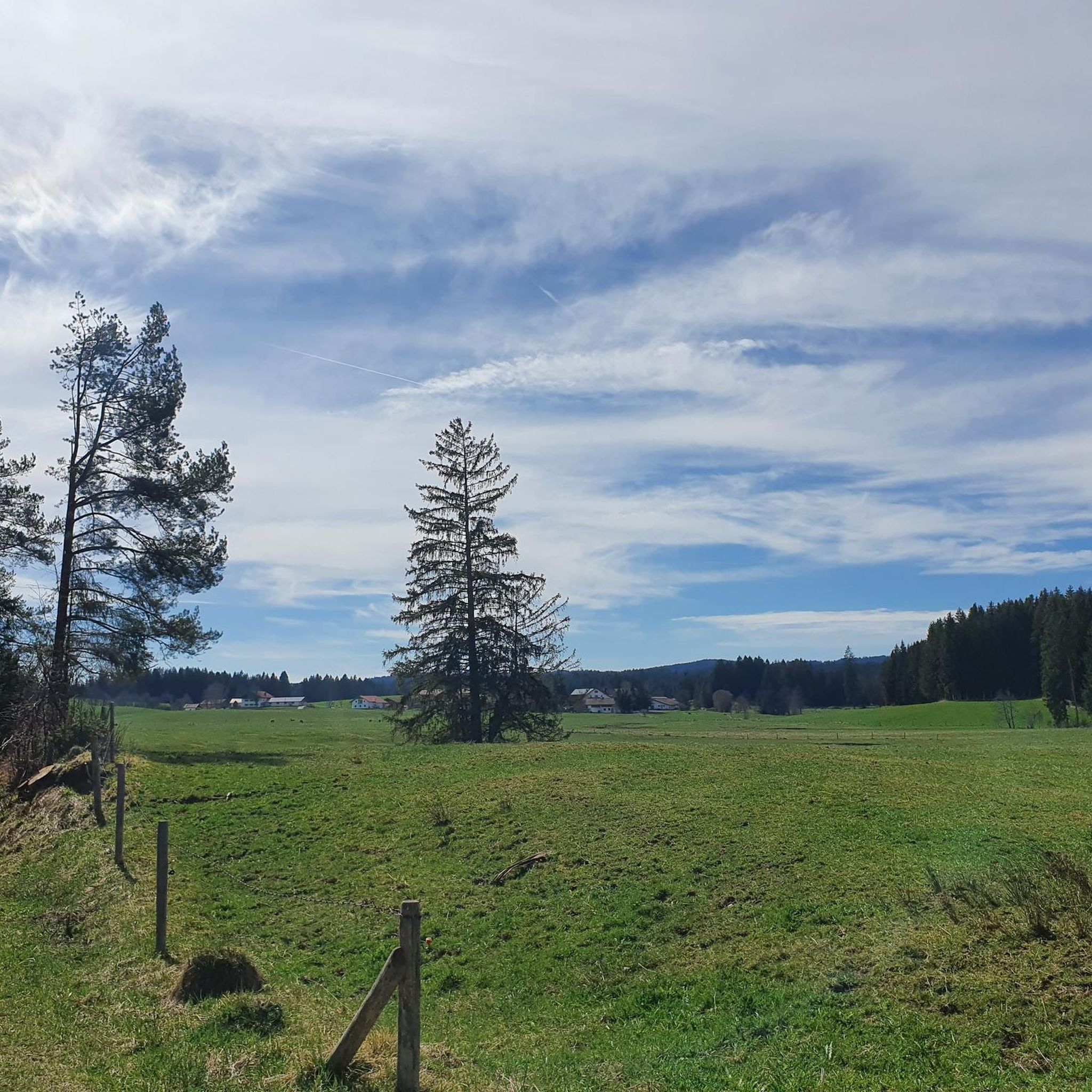
Mountaineering routes around Kempter Forest are situated in the Oberallgäu region, characterized by a landscape of rolling hills, alpine pastures, and forested areas. The terrain features numerous peaks and elevated viewpoints, offering varied ascents and descents. Lakes are also present, providing scenic backdrops for routes. This region provides a mix of moderate climbs and more challenging mountain paths.
Best mountaineering routes around Kempter Forest
- The most popular mountaineering route is View of Elbsee – Panoramic Views Over Elbsee loop from…
Last updated: July 1, 2026
2
hikers
8.52km
02:15
70m
70m
Moderate mountaineering route. Good fitness required. Easily-accessible paths. Suitable for all skill levels.
2
hikers
15.5km
04:44
420m
420m
Moderate mountaineering route. Good fitness required. Mostly accessible paths. Sure-footedness required.

Sign up for free
4
hikers
Easy mountaineering route. Great for any fitness level. Easily-accessible paths. Suitable for all skill levels.
7
hikers
Moderate mountaineering route. Good fitness required. Mostly accessible paths. Sure-footedness required.
5.0
(2)
4
hikers
Moderate mountaineering route. Good fitness required. Mostly accessible paths. Sure-footedness required.
Get access to more routes and recommendations from other explorers.
Sign up for free
Already have an account?
Our route recommendations are based on thousands of hikes, rides, and runs completed by other people on komoot.
Start today with a free account
Your next adventure awaits.
Login or Signup
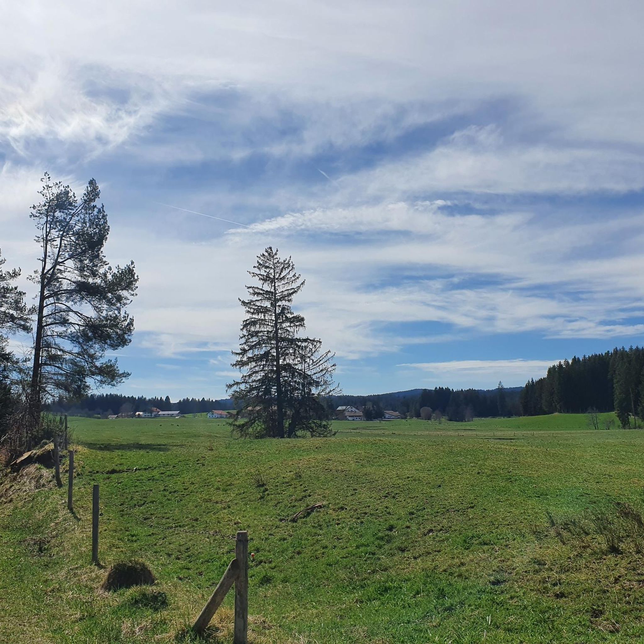
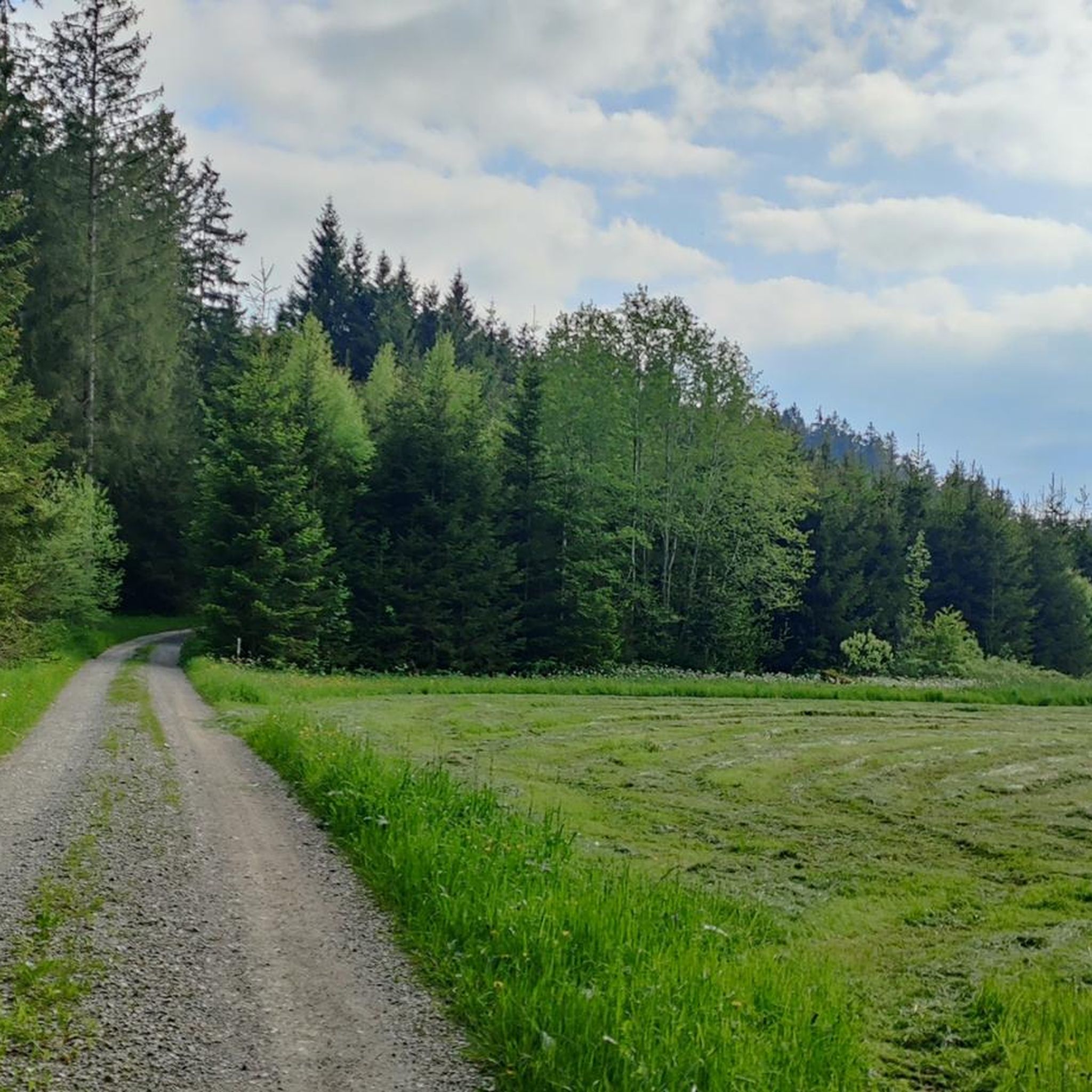
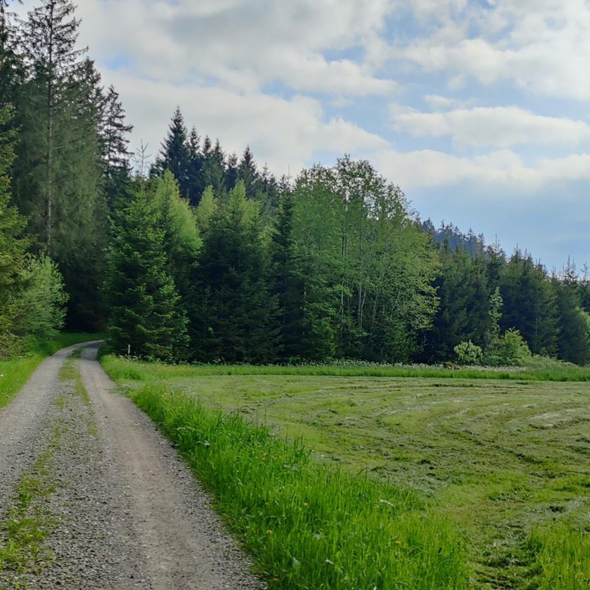
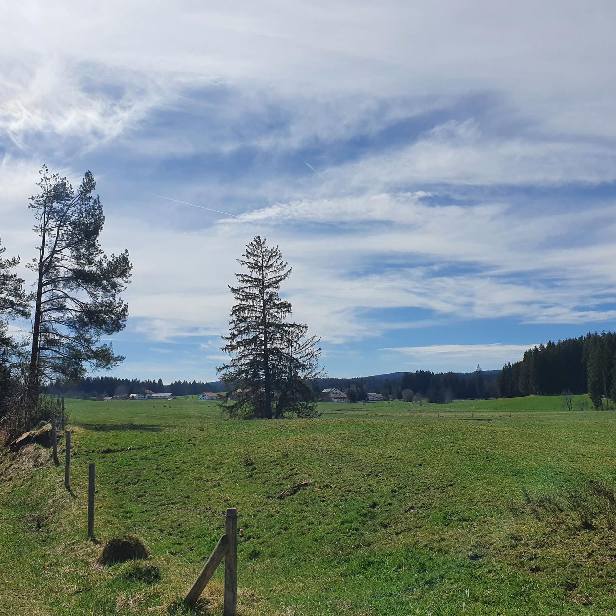
Tips from the Community

Beautiful path around Grüntensee on gravel paths
1
0

Shelter with meeting rooms and information boards
0
0

We travel by motorcycle from time to time and it's a good place to stop!
0
0

A small weir at Elbsee, located in the moorland area.
0
0

This is either the beginning or the end of the hike. It's definitely impressive and beautiful to look at.
0
0
Beautiful view of the Elbsee lake and the prospect of a break.
0
0
Looking out over the Elbsee through the reeds is truly beautiful from here.
0
0
Wonderful view of the Alps and the Elbsee lake.
0
0
Frequently Asked Questions
How many mountaineering routes are available in the Kempter Forest region?
The Kempter Forest region offers a diverse network of mountaineering routes, with a total of 14 tours available. These range from easy strolls to more challenging mountain paths, catering to various skill levels.
Are there any easy mountaineering routes suitable for beginners in Kempter Forest?
Yes, the Kempter Forest region includes routes suitable for beginners. While most routes are moderate, there is at least one easy mountaineering route available, perfect for those new to the sport or looking for a less strenuous experience.
What kind of terrain can I expect on mountaineering routes around Kempter Forest?
Mountaineering routes around Kempter Forest are situated in the Oberallgäu region, characterized by a landscape of rolling hills, alpine pastures, and forested areas. You'll encounter numerous peaks and elevated viewpoints, offering varied ascents and descents, often with scenic lakes providing beautiful backdrops.
Are there any circular mountaineering trails in Kempter Forest?
Many of the mountaineering routes in Kempter Forest are designed as loops, allowing you to start and end at the same point. For example, the View of Elbsee – Panoramic Views Over Elbsee loop from Kirnachhof is a popular circular trail offering panoramic views.
What are some notable natural landmarks or attractions to see along the routes?
While exploring the mountaineering routes, you might encounter interesting natural features. Keep an eye out for the Dengelstein Glacial Erratic, a significant natural monument. The region's landscape itself, with its rolling hills and lakes like Elbsee and Grüntensee, provides many scenic viewpoints.
Are there any places to stop for refreshments or shelter along the trails?
Yes, you can find places to rest and refuel. The Mehlblock Alp and the Baur Family Snack Hut are examples of huts where you might find refreshments. Additionally, the Waldschänke Restaurant & Café offers a place to eat and drink.
What do other mountaineers enjoy most about the Kempter Forest region?
The Kempter Forest region is highly rated by the komoot community, with an average score of 4.8 stars from over 100 reviews. Mountaineers often praise the varied terrain, the beautiful views of lakes and alpine pastures, and the well-maintained paths that cater to different skill levels.
Can you recommend a moderate mountaineering route that explores historic paths?
For a moderate route that delves into the region's history, consider the Old Salt Road – Alpe Müllers Berg loop from Greifenmühle. This 9.8-mile (15.8 km) path explores historic routes and leads to picturesque alpine pastures.
Is there a mountaineering route that offers views of Grüntensee?
Absolutely. The View of Grüntensee – Reuterwanne Peak loop from Wald-Wild-Schongebiet Haslachalpe is a popular 7.0-mile (11.2 km) trail that takes you through mountainous terrain with stunning views of Grüntensee.
Are there any routes that lead to specific peaks or summits?
Yes, several routes offer summit experiences. For instance, the Reuterwanne Summit – Reuterwanne Peak loop from Wald-Wild-Schongebiet Haslachalpe is a challenging route that takes you to the Reuterwanne Peak, offering rewarding views.
What is the longest mountaineering route in the Kempter Forest area?
Among the listed routes, the Old Salt Road – Alpe Müllers Berg loop from Greifenmühle is one of the longer options, covering approximately 9.8 miles (15.8 km) with significant elevation gain, making it a substantial day hike.
Most popular routes around Kempter Forest
Most popular attractions around Kempter Forest

Get inspired with the komoot mobile app


Explore more
Browse the best Mountain Hikes & Routes in other regions.
