The best running trails around Bleicheröder Berge
4.6
(71)
904
runners
111
runs
Jogging around Bleicheröder Berge offers diverse natural features and a well-maintained network of trails. The region is characterized by dense beech and pine forests, part of a landscape protection area, providing shaded routes. It features a varied topography with elevated terrain, including hills reaching over 400 meters, which are part of a Muschelkalk plateau. These natural elements create engaging running routes for various fitness levels.
Best jogging routes around Bleicheröder Berge
- The most popular jogging route is Kuhbrunnen Spring loop…
Last updated: July 7, 2026
4.0
(4)
8
runners
7.40km
00:49
90m
90m
Moderate run. Good fitness required. Mostly paved surfaces. Suitable for all skill levels.
5.0
(1)
6
runners
7.91km
00:56
180m
180m
Moderate run. Good fitness required. Mostly paved surfaces. Suitable for all skill levels.

Sign up for free
5
runners
17.8km
02:02
380m
380m
Hard run. Very good fitness required. Mostly paved surfaces. Suitable for all skill levels.
4
runners
5.91km
00:41
110m
110m
Moderate run. Good fitness required. Mostly paved surfaces. Suitable for all skill levels.
2
runners
7.71km
00:53
130m
130m
Moderate run. Good fitness required. Mostly paved surfaces. Suitable for all skill levels.
Get access to more routes and recommendations from other explorers.
Sign up for free
Already have an account?
Our route recommendations are based on thousands of hikes, rides, and runs completed by other people on komoot.
Start today with a free account
Your next adventure awaits.
Login or Signup
Tips from the Community

This is a nice trail in the forest as an alternative to the wide outdoor path. The trail is still quite good to walk or ride from the direction of Rehungen, but after the 1st bridge it becomes bumpier and narrower. In one spot there are trees lying down, making it very difficult to get through with a bike.
0
0

Great corner, a new bridge has been built and is accessible
0
0

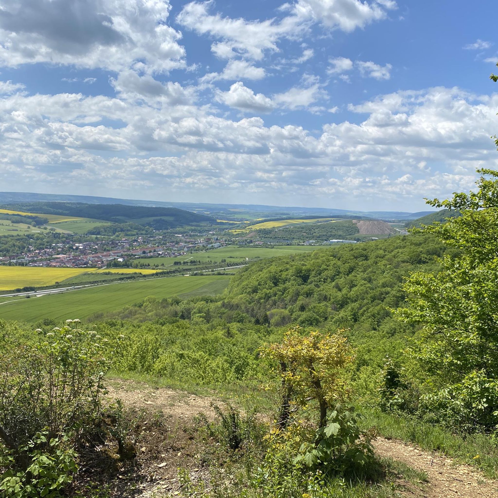
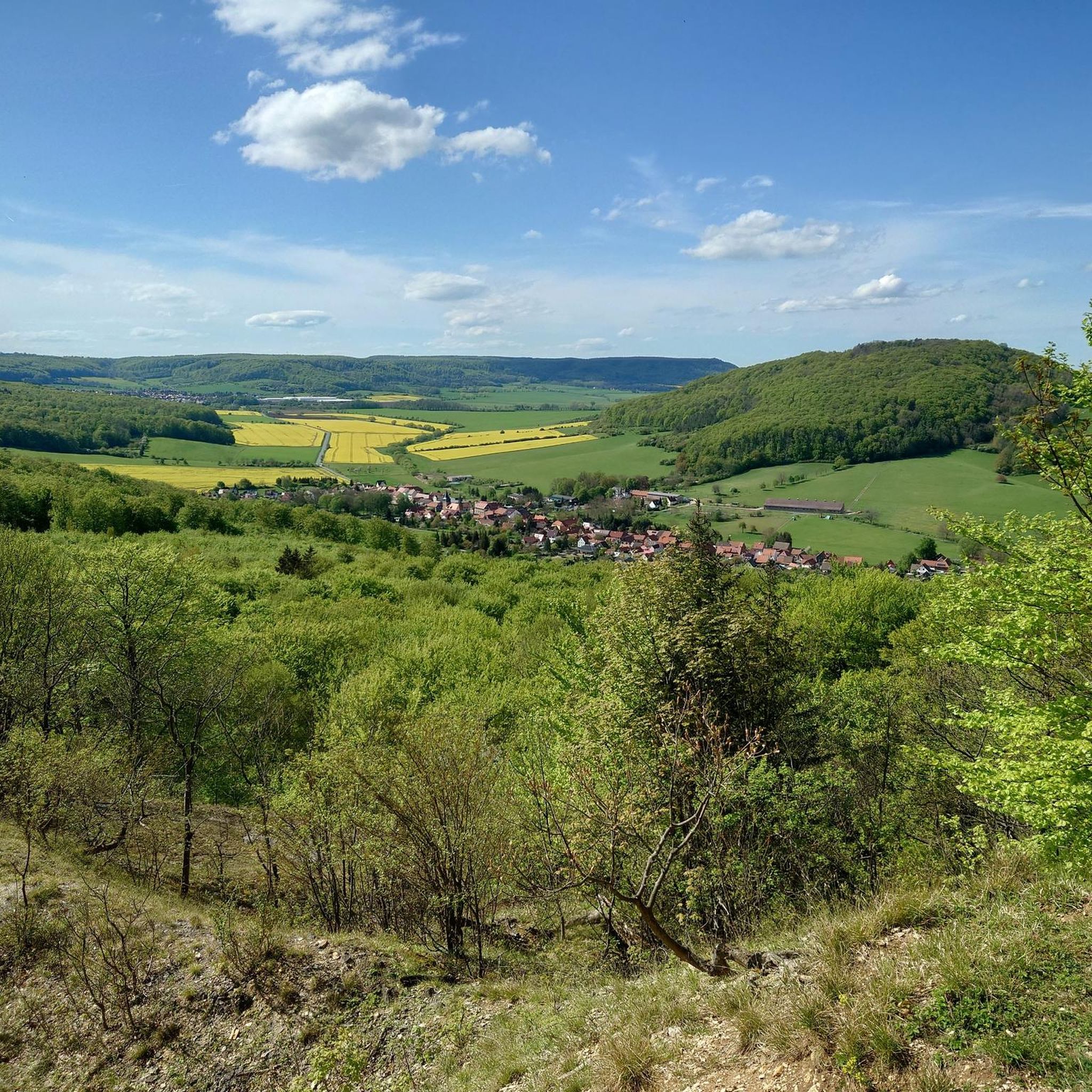
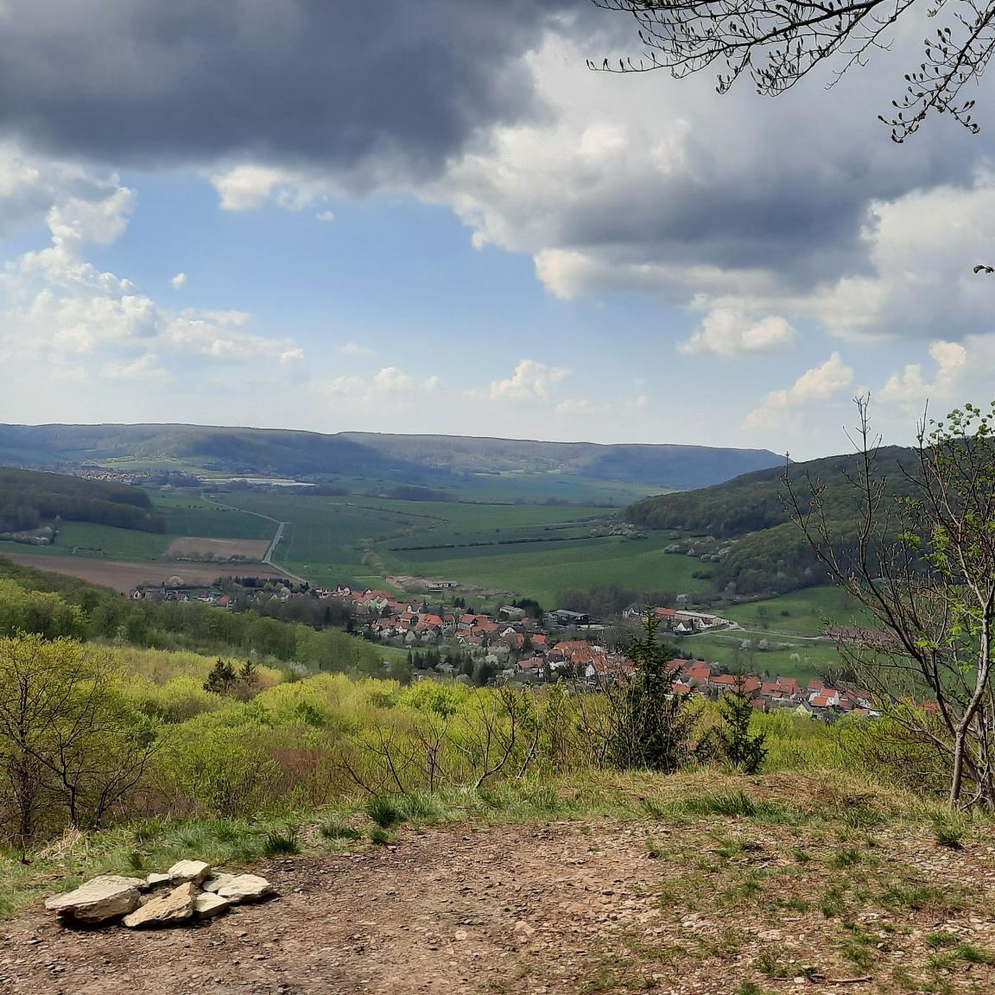
Great view of Bleicherode and Großlohra Castle!
1
0

A great tour highlight, especially in autumn, I recommend it.
5
0

Lots of seating! Decorated with great attention to detail. Unfortunately the bridge is currently closed.
0
0

When the weather is nice you have a very nice view! From Eichsfeld to the Harz.
2
0
Very steep climb. With reward. When you're at the top. In autumn and generally when it is wet. Do it carefully.
0
0

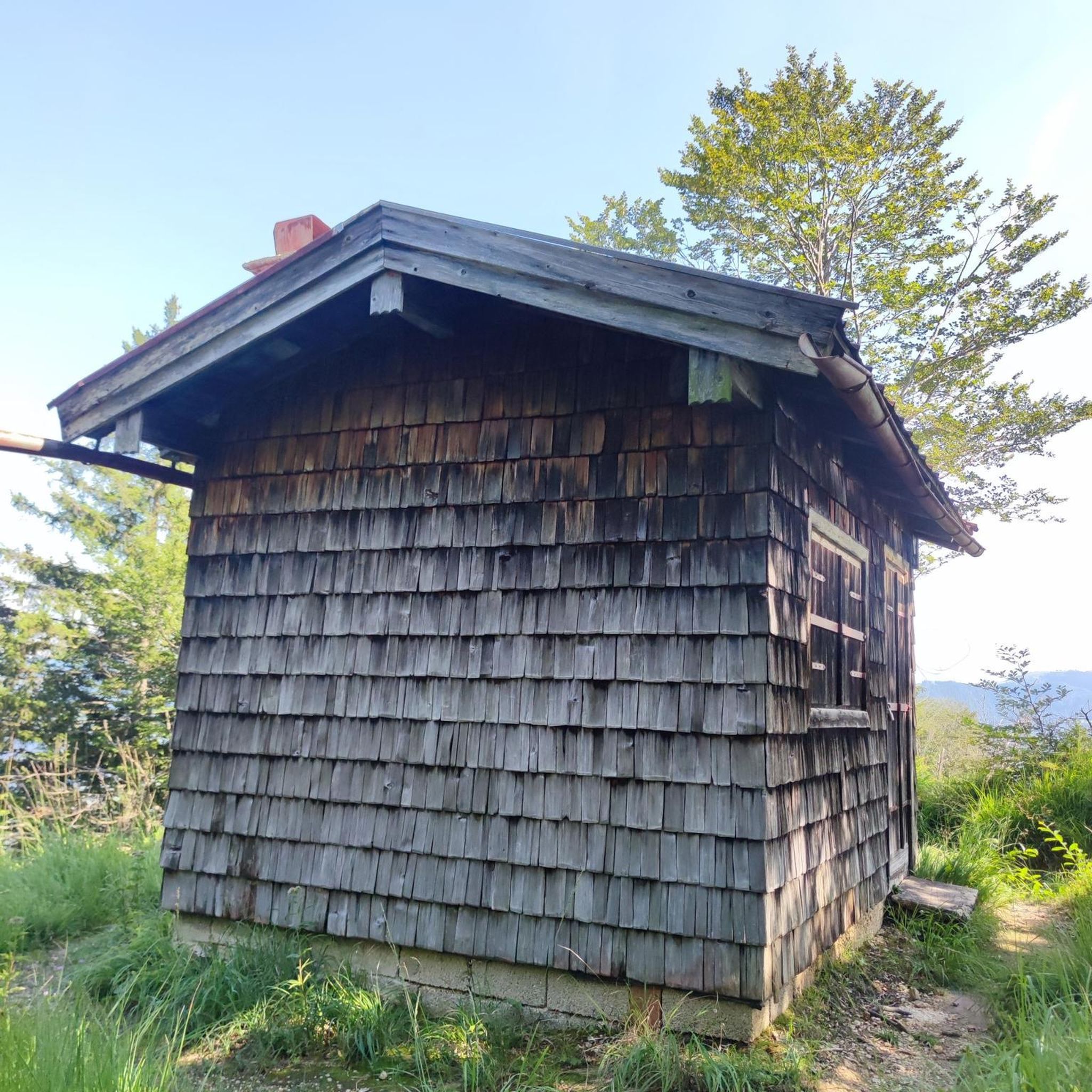
Large rest area with a rest hut and even trash cans.
2
0
Frequently Asked Questions
How many running routes can I find in the Bleicheröder Berge region?
The Bleicheröder Berge area offers a wide selection of running routes, with over 100 trails available for you to explore. This extensive network ensures a variety of options for different preferences and fitness levels.
Are there running routes for all fitness levels in the Bleicheröder Berge?
Yes, the Bleicheröder Berge cater to all fitness levels. You'll find a good mix of routes, including 14 easy trails perfect for beginners, 84 moderate routes for those seeking a balanced challenge, and 17 difficult trails for experienced runners looking for more strenuous workouts with significant elevation changes.
What kind of natural scenery will I encounter on the running trails?
The region is characterized by dense beech and pine forests, providing shaded and picturesque routes. You'll also experience varied topography, including elevated terrain with hills reaching over 400 meters, and unique geological formations like exposed Muschelkalk layers. The diverse flora and fauna, including native orchid species, add to the natural beauty.
Are there any notable viewpoints or landmarks along the running routes?
Absolutely! The Bleicheröder Berge offer several rewarding viewpoints. You might encounter the View from Vogelbergklippen of Bleicherode, offering expansive vistas. Other scenic spots include the Gebraer Kopf, "Aussichtspunkt Harzblick," and "Drei-Bänke-Aussichtspunkt." You can also discover natural monuments like the Kuhbrunnen Spring.
Are there many circular running routes available in the Bleicheröder Berge?
Many of the running routes in the Bleicheröder Berge are designed as loops, making them convenient for starting and ending at the same point. For example, popular options include the Kuhbrunnen Spring loop from Bleicherode and the Schwanenteich loop from Bleicherode, both offering scenic circular paths.
What do other runners enjoy most about jogging in Bleicheröder Berge?
The running routes in Bleicheröder Berge are highly rated by the komoot community, with an average score of 4.6 out of 5 stars from over 60 reviews. Runners often praise the well-maintained trails, the refreshing natural experience around the Schwanenteich, and the varied local scenery that makes each run engaging.
Can I find longer, more challenging running routes in the area?
Yes, for those seeking a greater challenge, there are longer and more difficult routes. An example is the View from Rondell – Steep Stairway to the Rondel loop from Sollstedt, which spans nearly 18 kilometers with significant elevation changes, providing a demanding workout.
Are there any easy running paths suitable for beginners or a relaxed jog?
Absolutely. The region offers several easy running paths perfect for beginners or a more relaxed pace. The Running loop from Bleicherode is a great option, covering 5 kilometers through varied local scenery, often completed in about 30 minutes.
What is the best time of year to go running in the Bleicheröder Berge?
The Bleicheröder Berge are suitable for running year-round, but the spring and autumn months are particularly pleasant. Spring brings blooming flora, while autumn offers vibrant foliage. The dense woodlands provide ample shade during warmer summer months, and the well-maintained trails are generally accessible in winter, though conditions may vary with snow or ice.
Are there any specific events or races for runners in the Bleicheröder Berge?
Yes, the region is known for the annual "Bleicheröder Vogelberglauf" (Vogelberg Race). This event features courses of 2, 5, 10, and 20 kilometers through the Bleicheröder Berge, highlighting the area's appeal to the running community and offering a chance to participate in an organized race.
Where can I find information about parking for the running trails?
While specific parking locations aren't detailed for every route, many trails, especially those starting from Bleicherode or Sollstedt, typically have designated parking areas nearby. It's advisable to check the individual route descriptions on komoot for specific parking recommendations or starting points.
Are there places to rest or take shelter along the routes?
Yes, you can find several rest areas and shelters within the Bleicheröder Berge. Notable spots include the Kuhbrunnen Rest Area, the Dr. Walter Elmer Shelter, and the Buhlscher Plan Rest Area. These provide convenient spots to pause and enjoy the surroundings.
Most popular routes around Bleicheröder Berge
Most popular attractions around Bleicheröder Berge

Get inspired with the komoot mobile app


Explore more
Browse the best Running Trails & Routes in other regions.
