The best MTB trails around Heiligenstädter Stadtwald
4.7
(906)
2,682
riders
374
rides
Mountain bike trails around Heiligenstädter Stadtwald wind through a forested ridge in Thuringia, Germany, characterized by dense woodlands and rolling hills. The terrain offers varied gradients and natural surfaces, with ascents to scenic viewpoints providing expansive vistas over the surrounding landscape. This region features a mix of challenging climbs and flowing descents, making it a diverse destination for mountain bike enthusiasts.
Best mountain bike trails around Heiligenstädter Stadtwald
- The most popular mountain bike trail is Ibergwarte – Dünkreuz Viewpoint loop…
Last updated: July 5, 2026
4.7
(20)
43
riders
51.7km
02:52
370m
370m
Moderate mountain bike ride. Good fitness required. Suitable for all skill levels.
4.9
(7)
16
riders
Hard mountain bike ride. Very good fitness required. Advanced riding skills necessary.

Sign up for free
5.0
(13)
24
riders
30.1km
01:37
170m
170m
Easy mountain bike ride. Great for any fitness level. Suitable for all skill levels.
4.9
(16)
21
riders
20.1km
01:08
130m
130m
Easy mountain bike ride. Great for any fitness level. Suitable for all skill levels.
4.9
(20)
59
riders
24.8km
02:08
580m
580m
Moderate mountain bike ride. Good fitness required. Advanced riding skills necessary.
Get access to more routes and recommendations from other explorers.
Sign up for free
Already have an account?
Our route recommendations are based on thousands of hikes, rides, and runs completed by other people on komoot.
Start today with a free account
Your next adventure awaits.
Login or Signup
Popular around Heiligenstädter Stadtwald
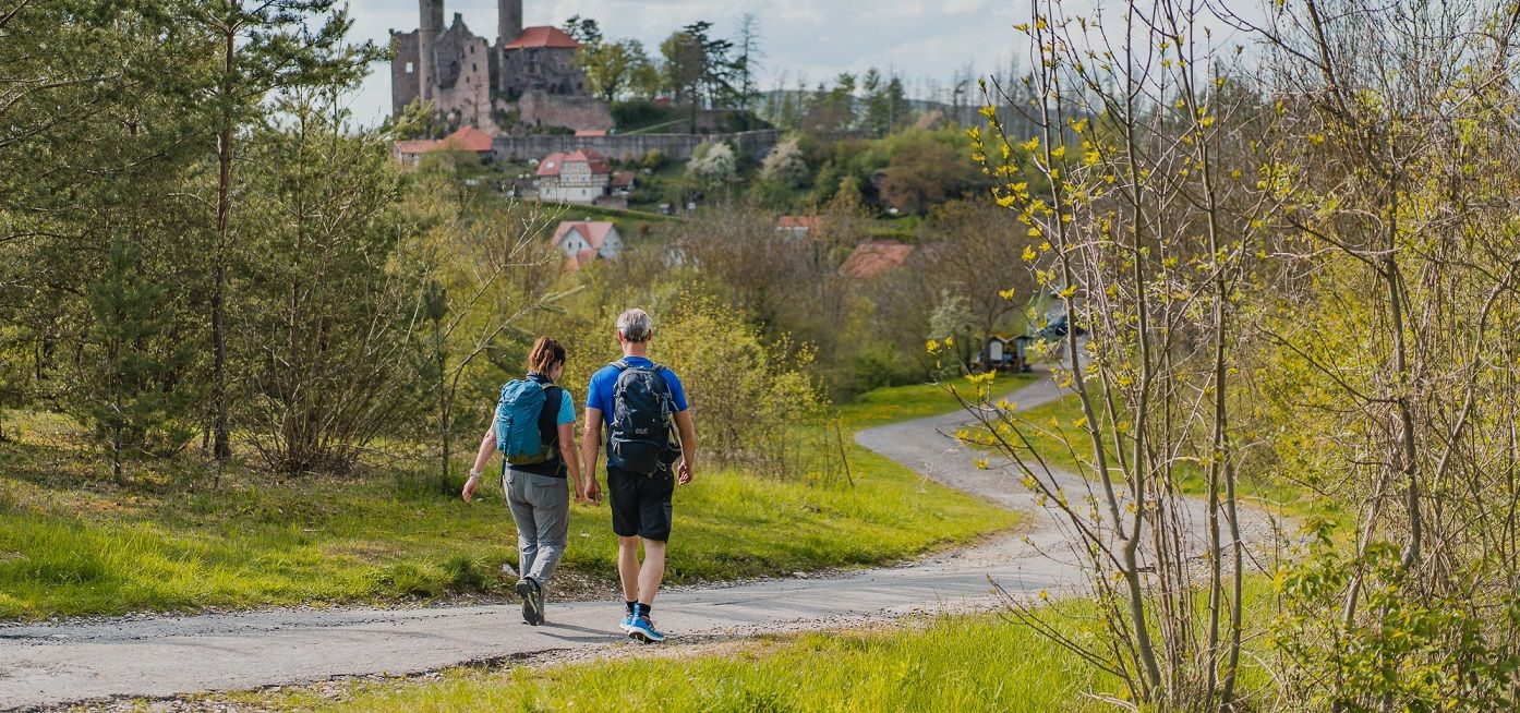
Rich history and magnificent landscapes – TOP hiking trails in Eichsfeld
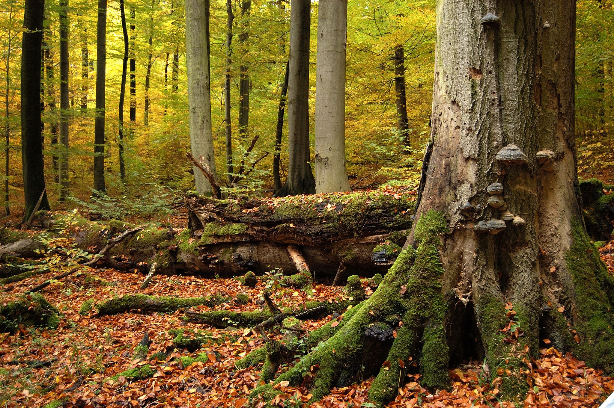
Thuringia's Primeval Forests of Tomorrow
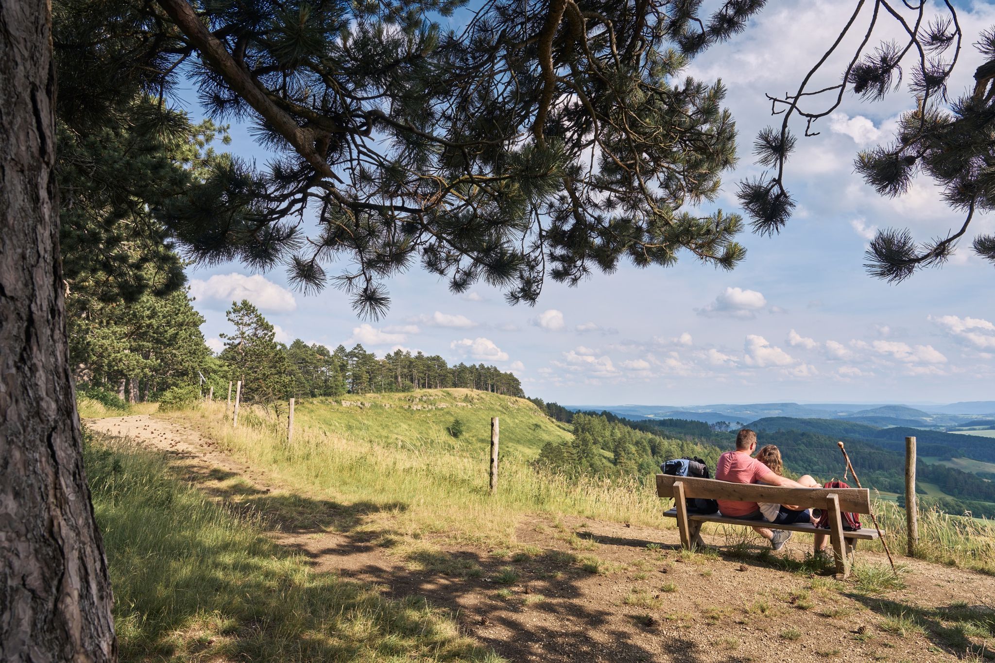
TOP-Wanderwege im Naturpark Eichsfeld-Hainich-Werratal
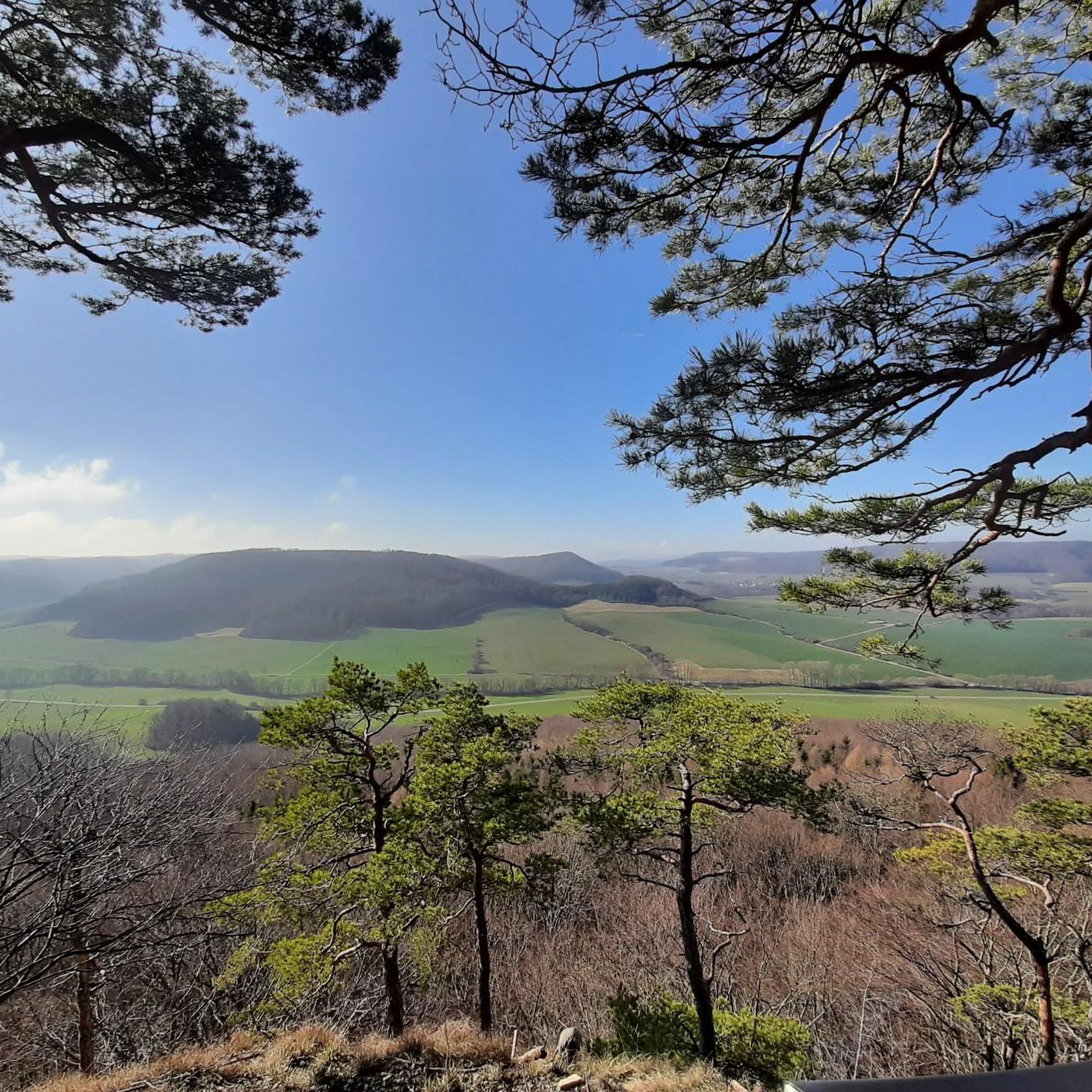
Hiking around Heiligenstädter Stadtwald
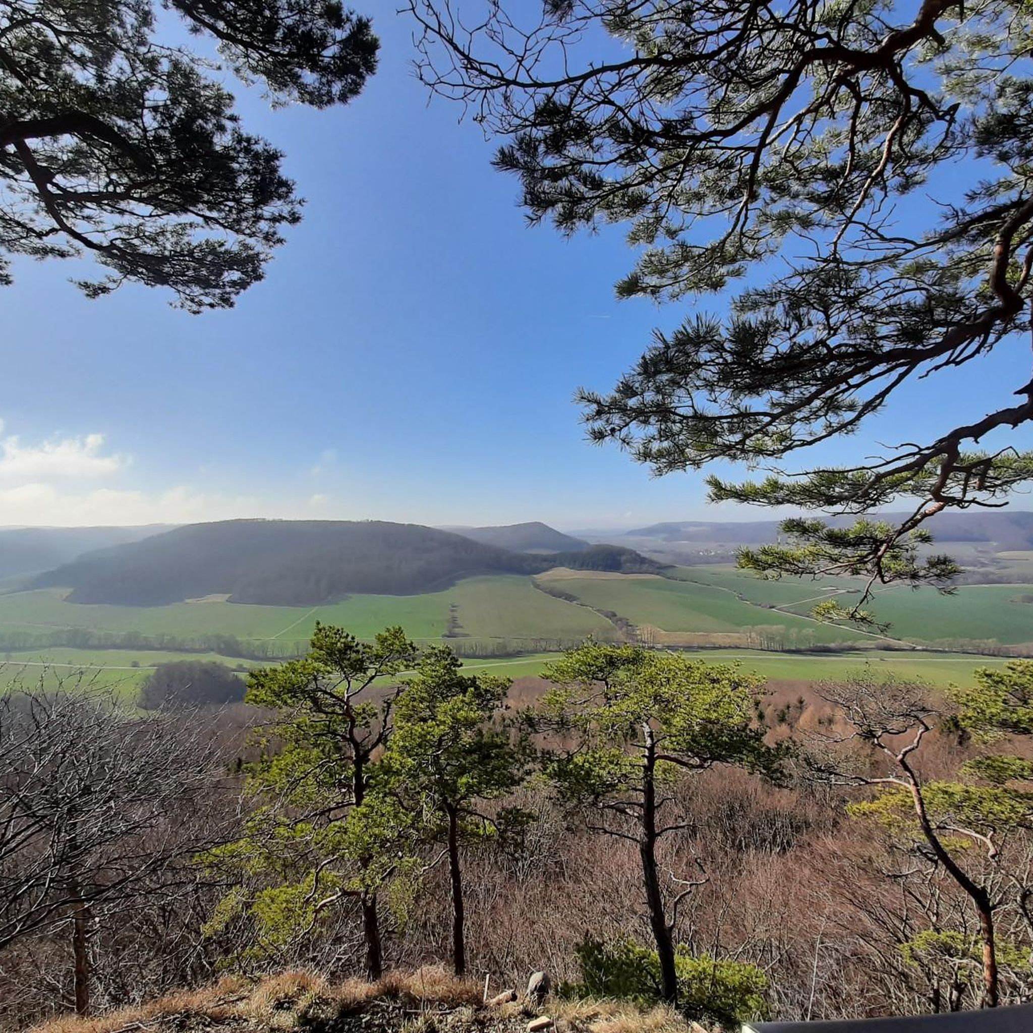
Cycling around Heiligenstädter Stadtwald
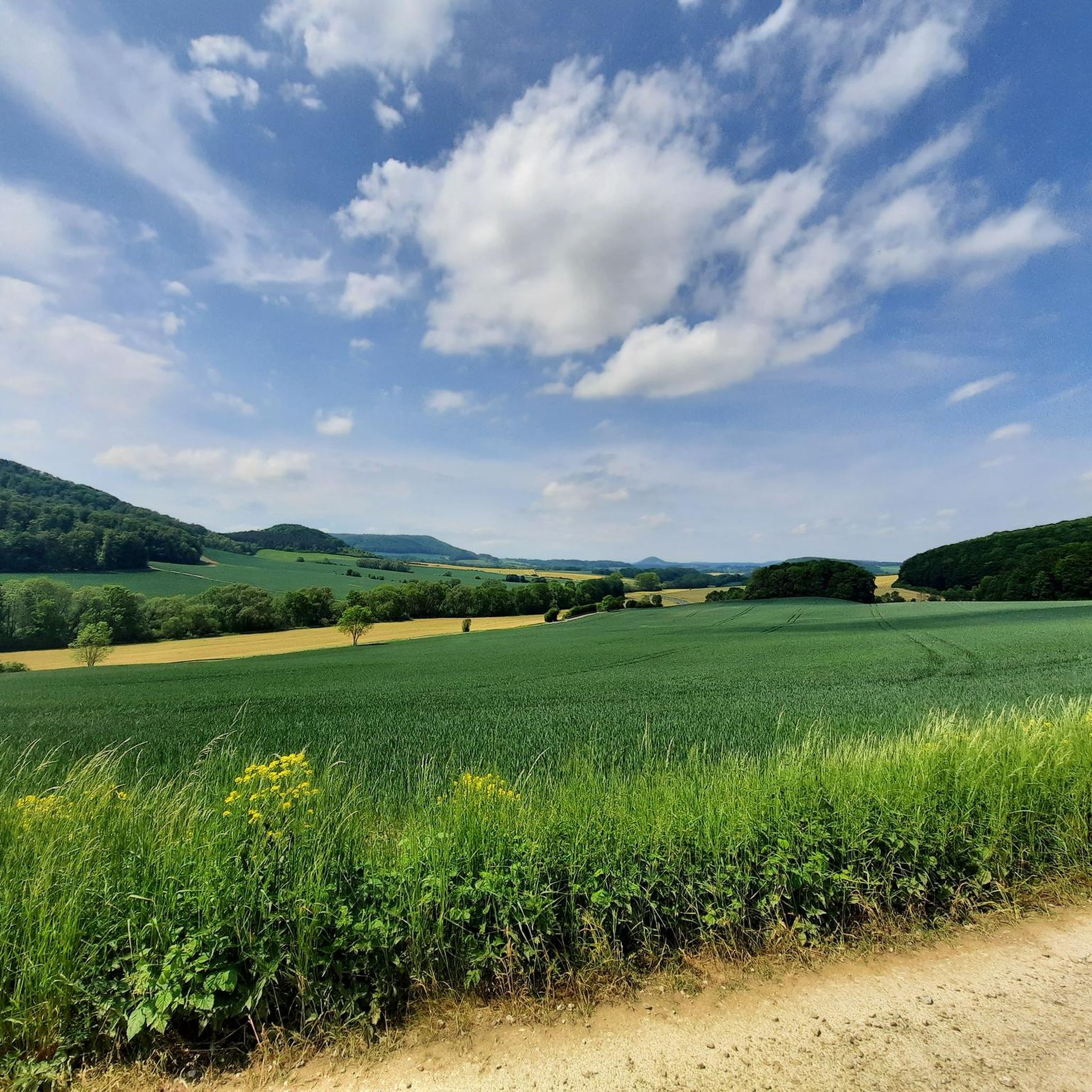
Road Cycling Routes around Heiligenstädter Stadtwald
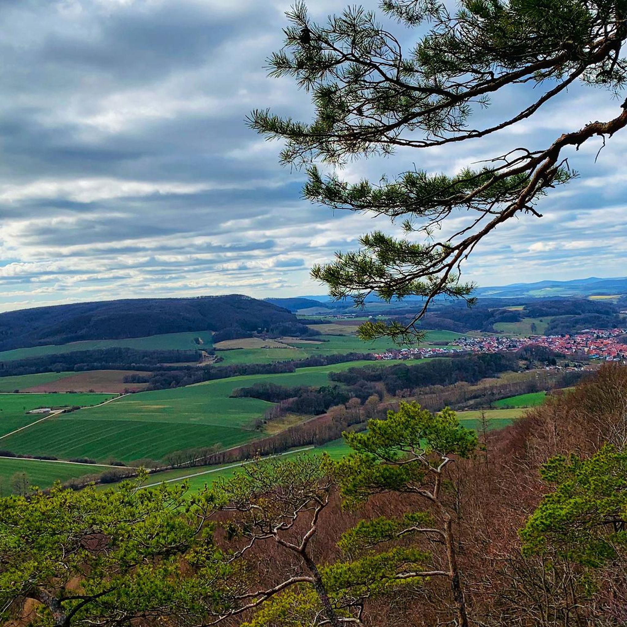
Running Trails around Heiligenstädter Stadtwald
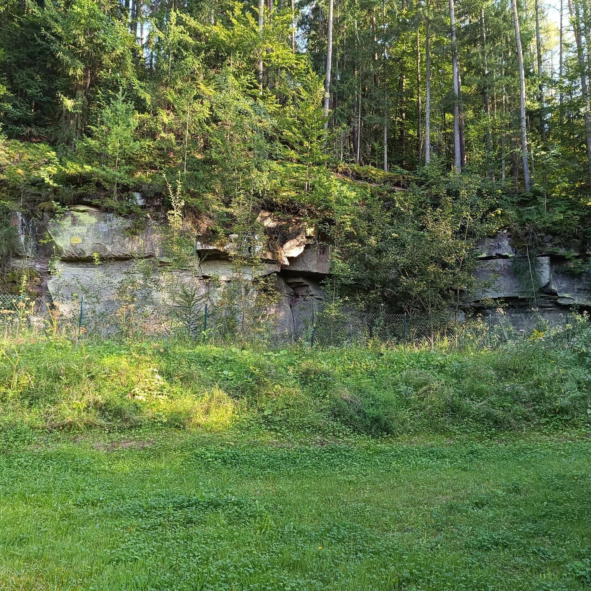
Gravel biking around Heiligenstädter Stadtwald
Other adventures around Heiligenstädter Stadtwald


Tips from the Community

quite steep here, but the view is worth the effort
0
0

The Eichsfeld once possessed 53 watchtowers to protect its borders and transit roads. Eleven of these towers were located on the territory of Heiligenstadt. They were erected in the 14th and 15th centuries as observation towers. The entrance was high above the ground and could only be reached by a ladder. On the upper floor, there was a heated room that served as the watchman's dwelling. The Ibergwarte is one of the preserved Heiligenstadt watchtowers.
0
0

From here you have a really beautiful view
0
0

In the 1950s, lime was burned in this tower-like kiln, built of bricks and rounded to a height of approximately 10 meters. Most of the surrounding quarries are now overgrown. Due to its technical and historical significance, it is a cultural monument worthy of protection.
2
1

very calming by the pond
0
0

This is Eichsfeld, what a great place with a beautiful panorama.
10
0
What a panorama, plenty of seating and the views take a lot of time.
6
0
very good excursion destination, you can climb the tower, there is an exhibition inside
0
0
Frequently Asked Questions
How many mountain bike trails are available in Heiligenstädter Stadtwald?
There are over 390 mountain bike trails in Heiligenstädter Stadtwald. These routes offer a wide range of options, from easier forest paths to more challenging climbs, catering to various skill levels.
What are the difficulty levels of mountain bike trails in Heiligenstädter Stadtwald?
The trails in Heiligenstädter Stadtwald cater to all skill levels. You'll find approximately 76 easy routes, 286 moderate routes, and 28 difficult routes. This variety ensures that both beginners and experienced riders can find suitable challenges.
Are there any family-friendly mountain bike trails in Heiligenstädter Stadtwald?
Yes, there are several family-friendly options, particularly among the 76 easy routes available. These trails often feature smoother surfaces and less elevation gain, making them suitable for families. An example of an easier route is the Rengelröder Warte – Playground at Leinepark loop from Lutter, which is 12.7 miles (20.5 km) long.
What is the best time of year to go mountain biking in Heiligenstädter Stadtwald?
The Heiligenstädter Stadtwald region is characterized by dense woodlands and rolling hills, making it enjoyable for mountain biking during spring, summer, and autumn. Spring offers fresh greenery, summer provides shade, and autumn boasts vibrant foliage. Winter conditions can vary, so checking local weather and trail conditions is advisable.
Are there mountain bike trails with scenic viewpoints in Heiligenstädter Stadtwald?
Yes, many routes in Heiligenstädter Stadtwald feature ascents to scenic viewpoints, offering expansive vistas over the surrounding landscape. For example, the Ibergwarte – Dünkreuz Viewpoint loop from Lutter is known for its scenic viewpoints along its course. Another route, the Dieteröder Klippen Viewpoint (Touringen Stamp Station No. 75) – Wolfstisch Viewpoint loop from Lutter, also leads past prominent viewpoints.
Are there any loop trails for mountain biking in Heiligenstädter Stadtwald?
Many of the mountain bike routes in Heiligenstädter Stadtwald are designed as loops, allowing you to start and end at the same point. Examples include the Ibergwarte – Dünkreuz Viewpoint loop from Lutter and the Café de la Sable – A38 Bridge near Wingerode loop from Lutter.
How long do mountain bike trails typically take to complete in Heiligenstädter Stadtwald?
Trail durations vary significantly based on length and difficulty. For instance, the moderate Ibergwarte – Dünkreuz Viewpoint loop from Lutter (17.8 miles / 28.7 km) typically takes about 2 hours 24 minutes. A longer, more challenging route like the Dieteröder Klippen Viewpoint (Touringen Stamp Station No. 75) – View from Dietzenröder Stein loop from Lutter (17.8 miles / 28.6 km) might take around 2 hours 45 minutes.
What do other mountain bikers enjoy most about mountain biking in Heiligenstädter Stadtwald?
The area is highly rated by the komoot community, with an average score of 4.8 stars from over 790 reviews. Reviewers often praise the diverse terrain, which includes a mix of challenging climbs and flowing descents, as well as the scenic viewpoints and the extensive network of trails through dense woodlands.
Are there any cafes or places to rest near the mountain bike trails in Heiligenstädter Stadtwald?
While specific cafes directly on every trail are not guaranteed, the region around Heiligenstädter Stadtwald, including nearby towns like Lutter, offers opportunities for refreshments. Some routes, like the Café de la Sable – A38 Bridge near Wingerode loop from Lutter, even incorporate names of potential stops, suggesting places where you might find a break.
Where can I find a map of the mountain bike trails in Heiligenstädter Stadtwald?
Komoot provides detailed maps for all mountain bike trails in Heiligenstädter Stadtwald. You can explore the routes directly on the komoot platform, which offers topographic maps, elevation profiles, and turn-by-turn navigation for each tour.
What are some of the more challenging mountain bike trails in Heiligenstädter Stadtwald?
For experienced riders seeking a challenge, there are 28 difficult routes available. An example is the Dieteröder Klippen Viewpoint (Touringen Stamp Station No. 75) – Wolfstisch Viewpoint loop from Lutter, a 25.4 miles (40.8 km) trail leading through challenging forest sections with significant elevation changes.
Most popular routes around Heiligenstädter Stadtwald
Most popular attractions around Heiligenstädter Stadtwald

Get inspired with the komoot mobile app


Explore more
Browse the best MTB trails in other regions.
