The best running trails around Fahner Höhe
4.4
(342)
4,147
runners
209
runs
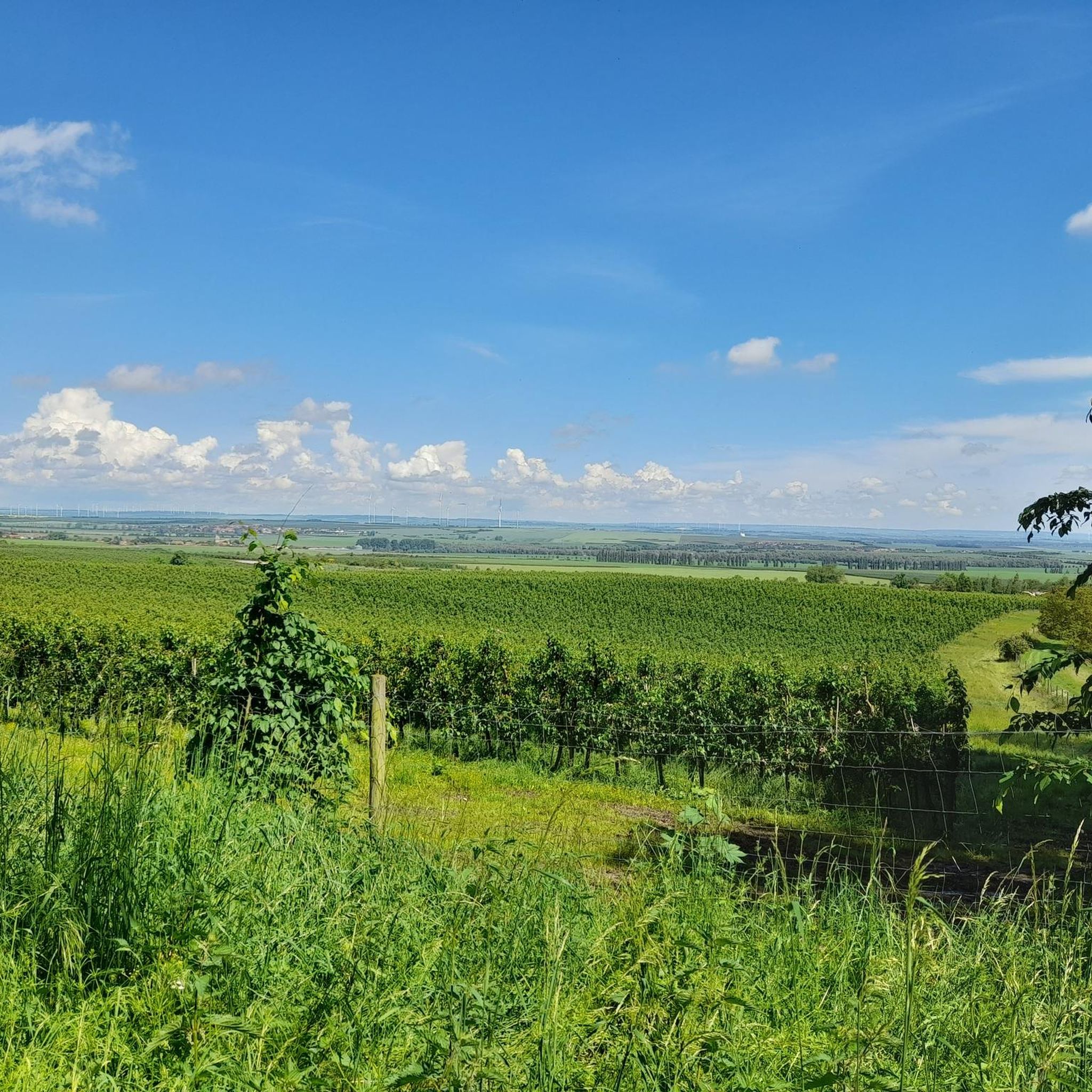
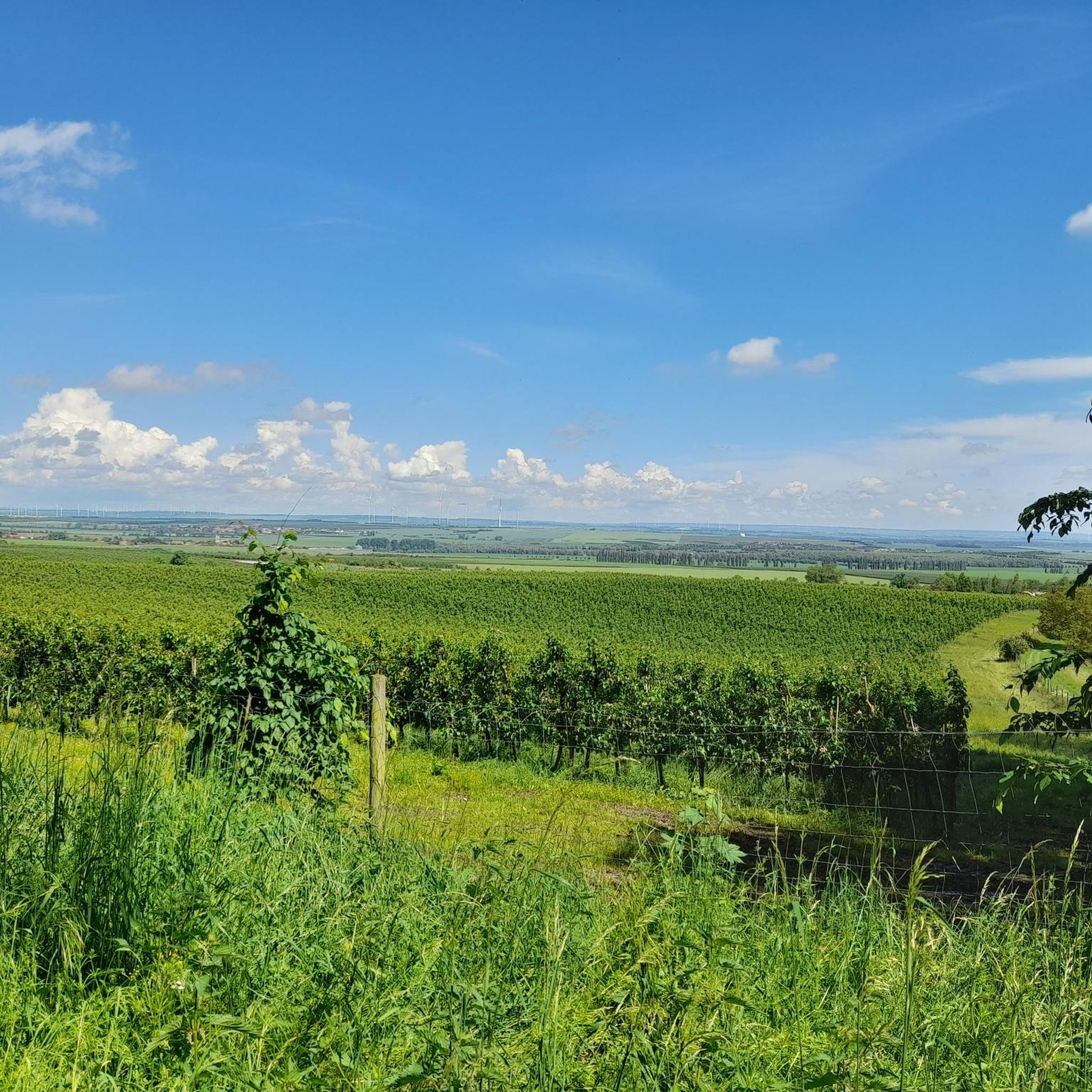
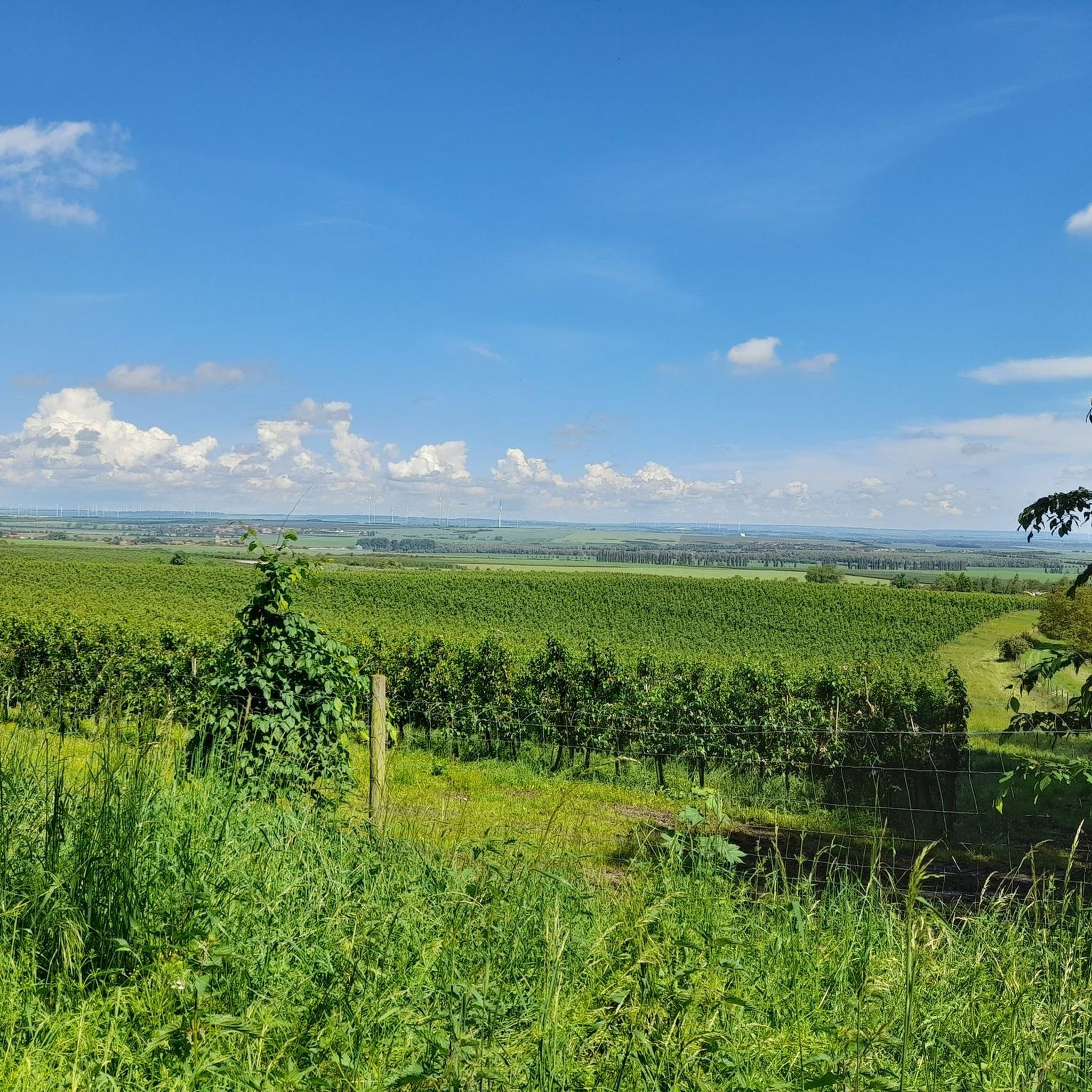
Jogging routes around Fahner Höhe traverse a densely wooded ridge of Muschelkalk, offering varied terrain for runners. The region features elevations up to 413 meters above sea level, providing both challenging inclines and flatter sections. Extensive forests characterize the area, offering shaded paths, while the northern foothills are known for vast orchards. Panoramic views across the Thuringian Basin enhance the running experience.
Best jogging routes around Fahner Höhe
- The most popular jogging route is Hirschgrund Nature Reserve – View of…
Last updated: July 4, 2026
15
runners
16.8km
01:53
330m
330m
Hard run. Very good fitness required. Mostly paved surfaces. Suitable for all skill levels.
11
runners
6.73km
00:46
190m
190m
Moderate run. Good fitness required. Mostly paved surfaces. Suitable for all skill levels.

Sign up for free
5.0
(2)
12
runners
10.1km
01:06
150m
150m
Moderate run. Good fitness required. Mostly paved surfaces. Suitable for all skill levels.
8
runners
25.9km
02:51
400m
400m
Hard run. Very good fitness required. Mostly paved surfaces. Suitable for all skill levels.
11
runners
16.2km
01:48
270m
270m
Hard run. Very good fitness required. Mostly paved surfaces. Suitable for all skill levels.
Get access to more routes and recommendations from other explorers.
Sign up for free
Already have an account?
Our route recommendations are based on thousands of hikes, rides, and runs completed by other people on komoot.
Start today with a free account
Your next adventure awaits.
Login or Signup

Tips from the Community

Secret tip for the 🐻🌱 time, mega. Nice hut, rightly there is a stamp here.
8
0

From the paths around Gierstädt, you'll always have fantastic views over the Fahner Höhe. Especially in spring, when the fruit trees bloom, the entire region transforms into a sea of white and pink blossoms. In summer and autumn, you can look out over lush orchards and colorful fields.
0
0

This shelter has been lovingly decorated. There are so many lovely little sayings on the signs (and especially appealing in this day and age).
0
0

Small shelter worth seeing at the fork in the Seven Graves
0
0

Enough space for 2-4 people.
0
0

There is a seating area next door.
0
0
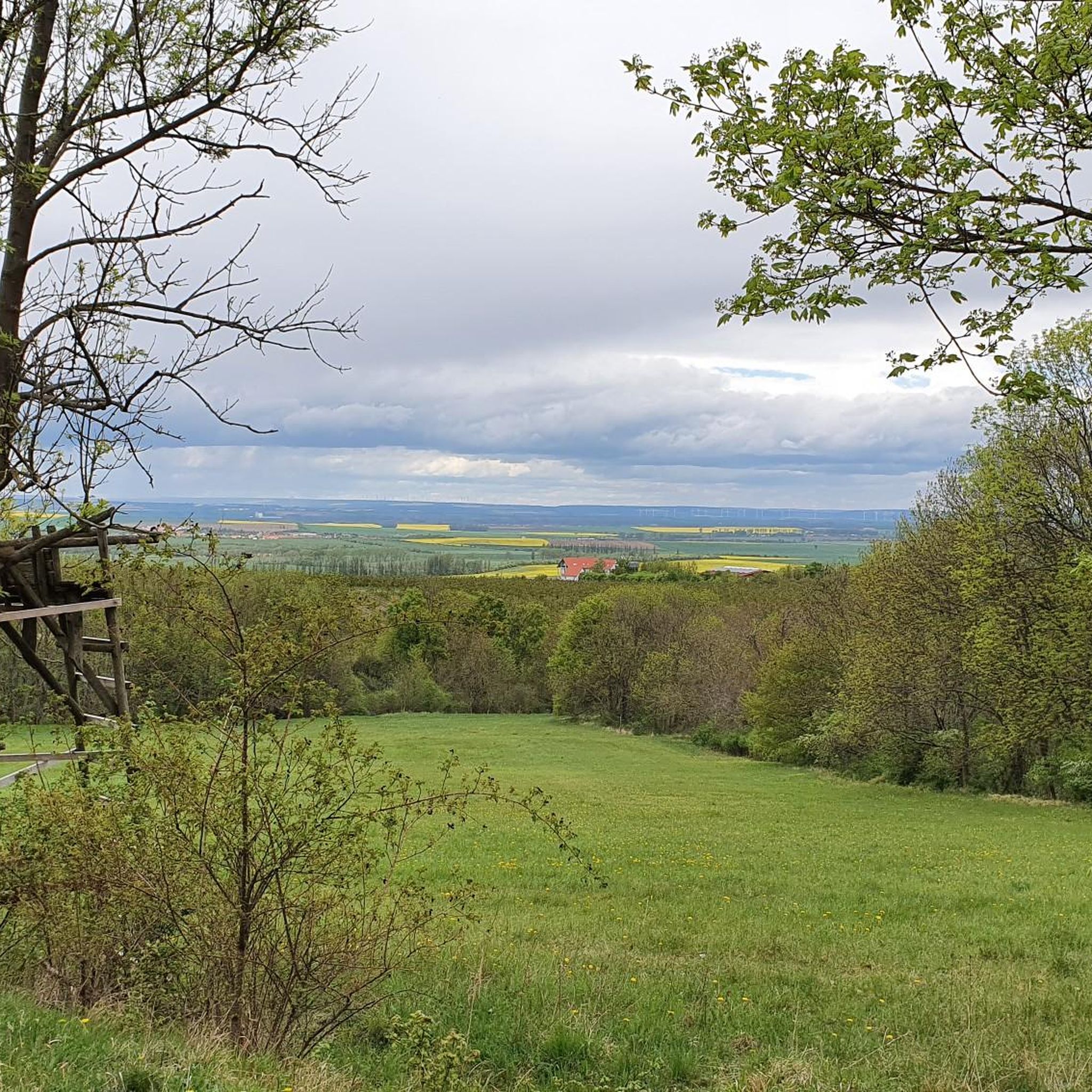
Even though the path is not well maintained, this section of the Luther Trail offers occasional seating and a magnificent view of Kleinfahner.
0
0
Extremely friendly staff who even help you find your way.
0
0
Frequently Asked Questions
How many running routes are available in Fahner Höhe?
Fahner Höhe offers a wide selection of over 210 running routes. These trails cater to various preferences, from easy strolls to challenging runs, ensuring there's something for every jogger.
What kind of terrain can I expect on the jogging trails in Fahner Höhe?
The jogging trails in Fahner Höhe traverse a diverse landscape. You'll find yourself on a densely wooded ridge of Muschelkalk, offering varied terrain with elevations up to 413 meters above sea level. This means a mix of shaded forest paths, gentle inclines, and flatter sections, providing a dynamic workout experience. The northern foothills also feature vast fruit orchards, especially picturesque during blossom season.
Are there running routes suitable for beginners or families in Fahner Höhe?
Yes, Fahner Höhe has routes suitable for all levels, including beginners and families. There are 25 easy routes available, perfect for a relaxed jog or a family outing. For example, the Obstpark Gierstädt – Gierstädt Observation Tower loop from Gierstädt is an easy 4.9 km path that offers a pleasant experience through the region's famous orchards.
What are some notable landmarks or points of interest I might see while jogging?
While jogging in Fahner Höhe, you can encounter several interesting landmarks. The Bienstädt Watchtower is a characteristic feature of the area, and you might pass historical sites like the Seven Graves Memorial Site or the Swedish Cross. The region's fruit orchards, especially during cherry blossom season, are also a beautiful natural highlight.
Are there any circular running routes in Fahner Höhe?
Yes, many of the running routes in Fahner Höhe are circular, allowing you to start and end at the same point. A popular moderate option is the Bienstädt Watchtower – Bienstädt Watchtower loop from Gierstädt, a 6.7 km path that leads through forested areas and past the historical watchtower. Another great choice is the Sieben Gräber Shelter – Hiking trail loop from Gierstädt, which is 10.1 km through dense woodlands.
What do other runners say about the trails in Fahner Höhe?
The running trails in Fahner Höhe are highly regarded by the komoot community, boasting an average rating of 4.5 stars from over 270 reviews. Runners frequently praise the varied terrain, the extensive network of well-maintained paths, and the stunning panoramic views across the Thuringian Basin. The dense forests provide ample shade, making for pleasant runs.
Can I bring my dog on the running trails in Fahner Höhe?
Fahner Höhe is generally dog-friendly, with many trails suitable for running with your canine companion. As a designated landscape protection area, it's important to keep your dog on a leash, especially near wildlife or in agricultural areas, and to respect local regulations. Always ensure your dog is well-behaved and that you clean up after them.
Are there good viewpoints along the running routes in Fahner Höhe?
Absolutely! From various points along the ridge of Fahner Höhe, joggers can enjoy expansive panoramic views. You can often see across the Thuringian Basin, reaching as far as the Hainleite, Finne, Schrecke, Schmücke, and even the Thuringian Forest with the Inselsberg and Drei Gleichen. These vistas offer motivating and refreshing breaks during your run.
When is the best time of year to go jogging in Fahner Höhe?
Fahner Höhe offers enjoyable jogging experiences year-round, but spring is particularly special. During the cherry blossom season, around a million fruit trees bloom, creating an idyllic and fragrant atmosphere for your run. The extensive forests also provide pleasant shade during warmer summer months, and the autumn colors are stunning. Winter runs can be beautiful, though some paths might be icy or snowy.
Are there any challenging running routes for experienced runners?
Yes, for experienced runners seeking a challenge, Fahner Höhe offers 23 difficult routes. A notable option is the Hirschgrund Nature Reserve – View of the Fahner Höhe loop from Gierstädt, a 16.8 km trail with significant elevation gain, providing a demanding workout and expansive views from the ridge. Another challenging route is the Sieben Gräber Shelter – View of Großer Inselsberg loop from Gierstädt, covering 16.2 km.
Is public transport available to reach the running trails in Fahner Höhe?
Fahner Höhe is situated in the triangle of Gotha, Erfurt, and Bad Langensalza. While specific direct public transport links to every trailhead might vary, regional bus services connect the surrounding villages. It's advisable to check local bus schedules to plan your journey to starting points like Gierstädt, which is a common access point for many routes.
Are there places to eat or get refreshments near the running trails?
The villages surrounding Fahner Höhe, such as Gierstädt, often have local eateries or cafes where you can find refreshments after your run. The region is known for its fruit, so look out for local produce. While there aren't specific cafes directly on every trail, the proximity to charming villages means options are usually within a short distance.
Most popular routes around Fahner Höhe
Most popular attractions around Fahner Höhe

Get inspired with the komoot mobile app


Explore more
Browse the best Running Trails & Routes in other regions.
