The best road cycling routes around Hainleite
4.5
(225)
2,104
riders
147
rides
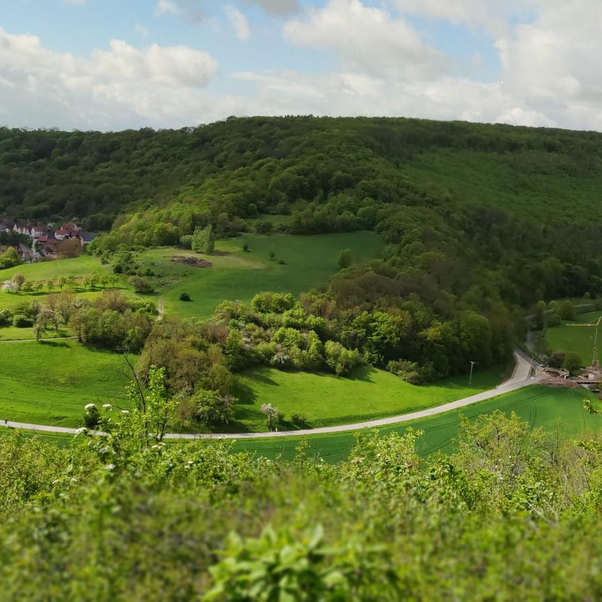
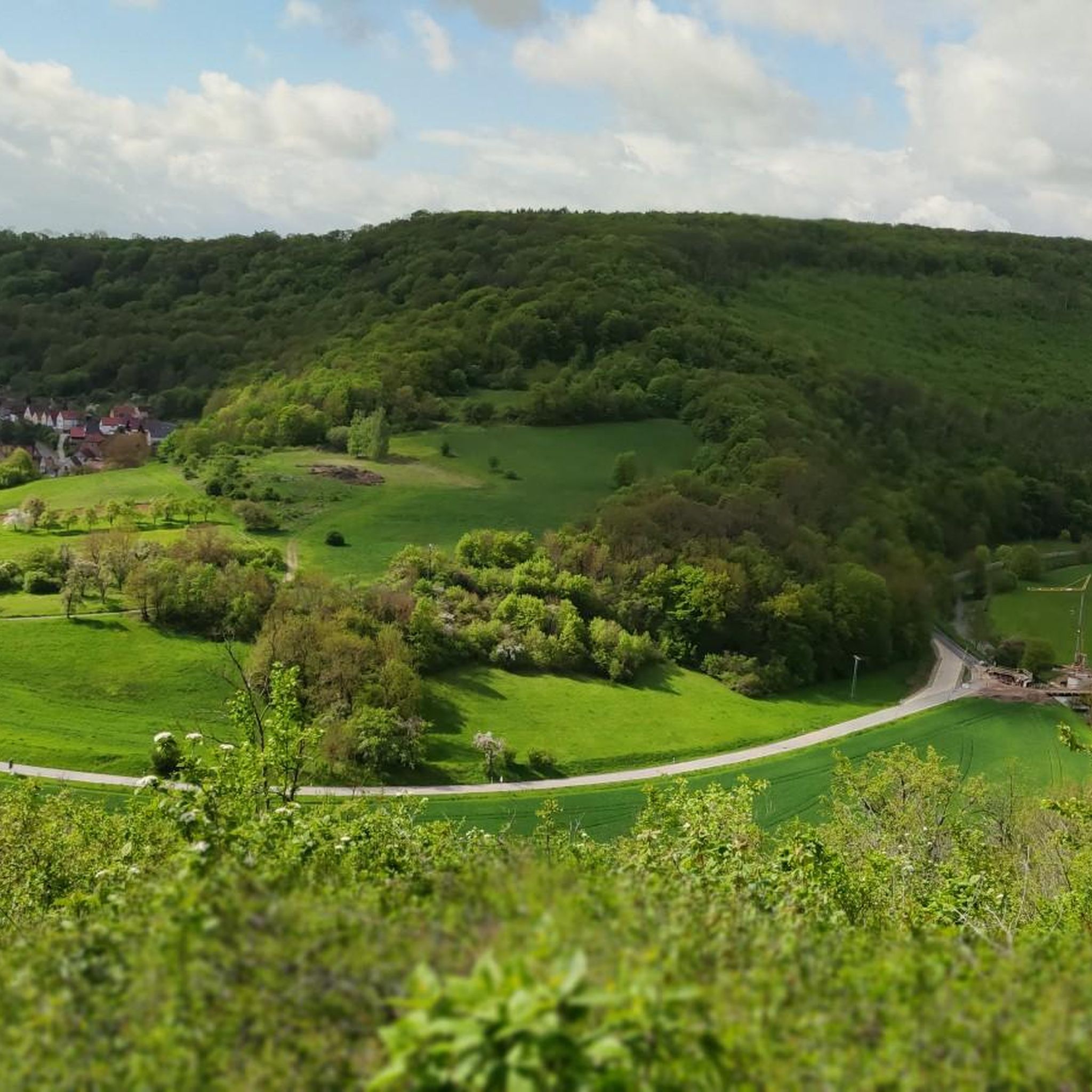
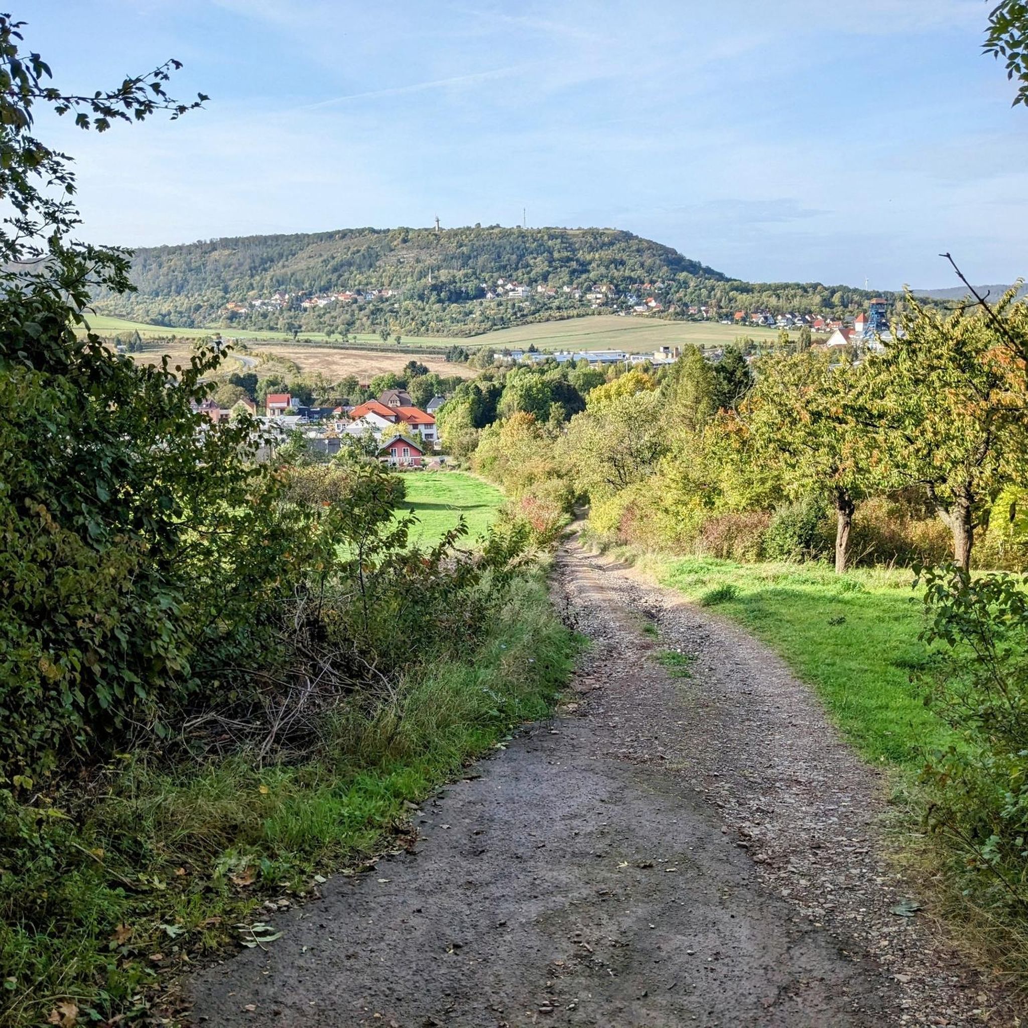
Road cycling routes around Hainleite traverse a region characterized by varied terrain, including forested landscapes and moderately uphill sections. The area offers scenic views of the Thuringian Basin and the Thuringian Forest from elevated points. Road cyclists can expect a mix of gradients suitable for different fitness levels. The region's historical association with professional road cycling races indicates a terrain well-suited for challenging and enjoyable rides.
Best road cycling routes around Hainleite
- The most popular road cycling route is Wipperdurchbruch Cycle Path – View of Kohnstein loop from Seega, a 33.1 miles (53.3 km) trail that takes 2 hours 25 minutes to complete. This moderate route offers views of the Kohnstein.
- Another top favourite among local road cyclists is Obstberg – Gundersleben Church loop from Bebra, a moderate 22.5 miles (36.2 km) path. This route features varied terrain through the local landscape.
- Local road cyclists also love the St. Wigbert Monastery Ruins – Unstrut-Werra Cycle Path loop from Seega, a 20.0 miles (32.2 km) trail leading through the local countryside, often completed in about 1 hour 29 minutes.
- Road cycling around Hainleite is defined by varied terrain, forested sections, and moderate climbs. The network offers options for different ability levels, from easy paths to more challenging routes.
- The routes in Hainleite are highly rated by the komoot community with an average score of 4.5 stars from more than 200 reviews. More than 2,000 road cyclists have used komoot to explore Hainleite's varied terrain.
Last updated: July 14, 2026
4.0
(2)
31
riders
53.2km
02:29
540m
540m
Moderate road ride. Good fitness required. Mostly well-paved surfaces and easy to ride.
4.0
(2)
9
riders
36.0km
01:37
360m
360m
Moderate road ride. Good fitness required. Some segments of this route may be unpaved and difficult to ride.

Sign up for free
4.5
(2)
12
riders
31.9km
01:27
240m
240m
Easy road ride. Great for any fitness level. Mostly well-paved surfaces and easy to ride.
4.1
(32)
108
riders
Easy road ride. Great for any fitness level. Mostly well-paved surfaces and easy to ride.
4.6
(12)
83
riders
Moderate road ride. Good fitness required. Some segments of this route may be unpaved and difficult to ride.
Get access to more routes and recommendations from other explorers.
Sign up for free
Already have an account?
Our route recommendations are based on thousands of hikes, rides, and runs completed by other people on komoot.
Start today with a free account
Your next adventure awaits.
Login or Signup
Popular around Hainleite
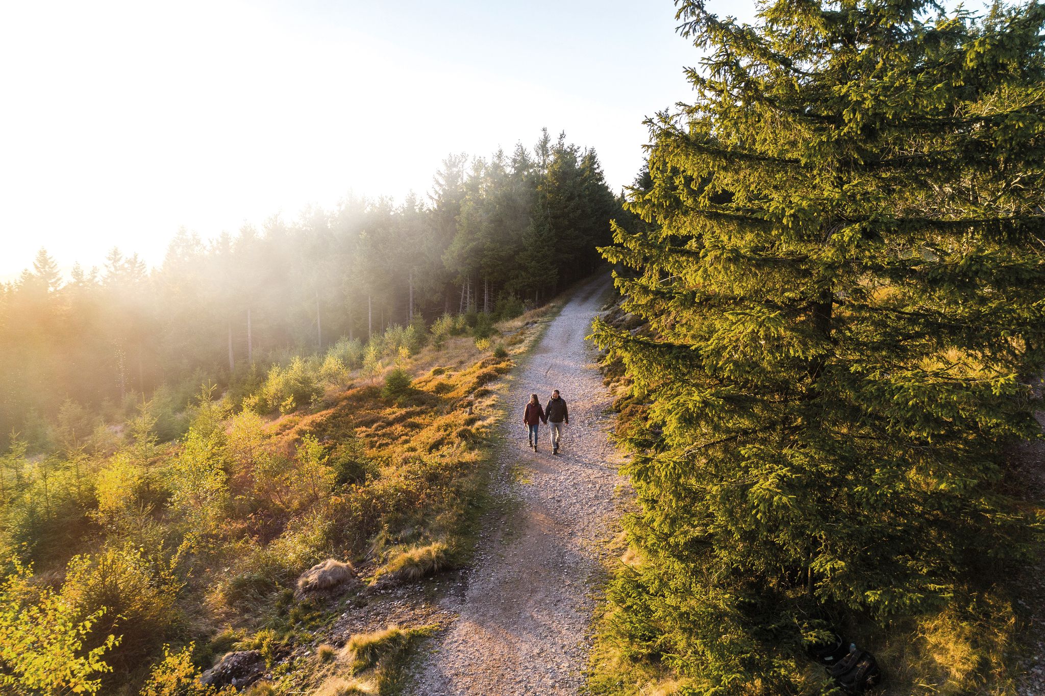
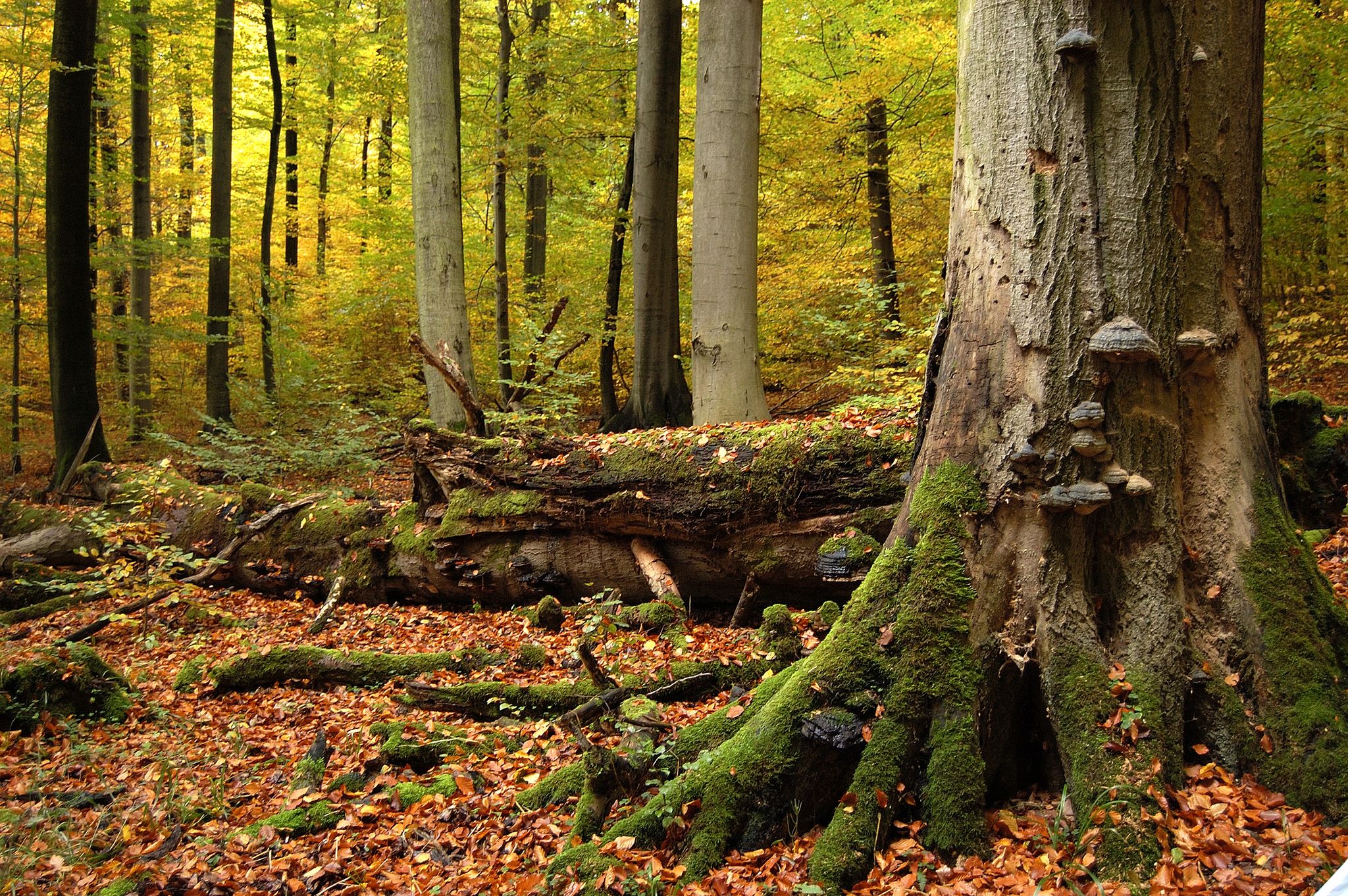
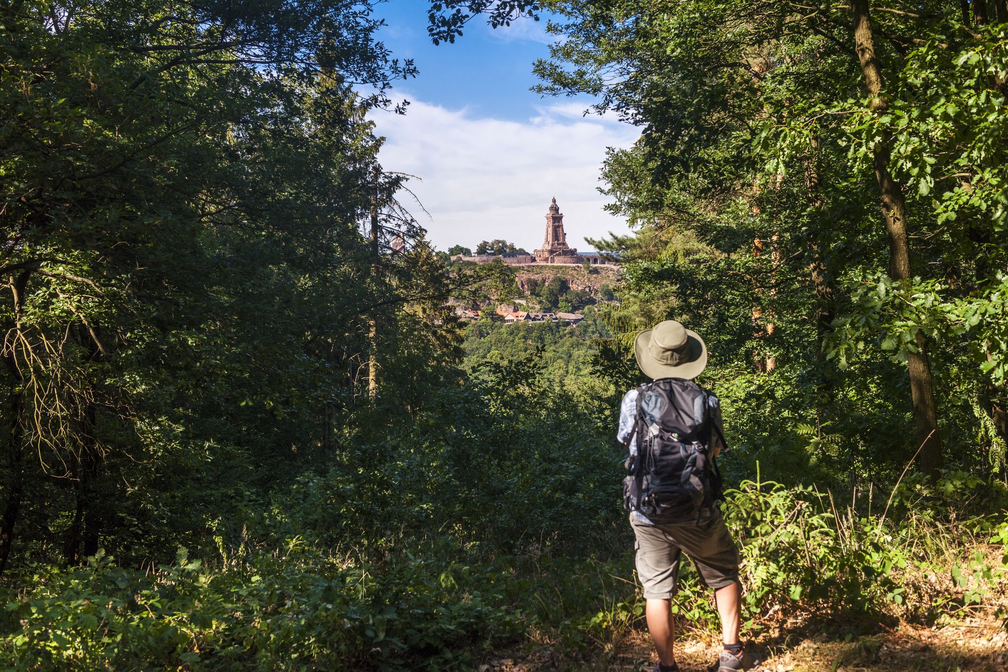
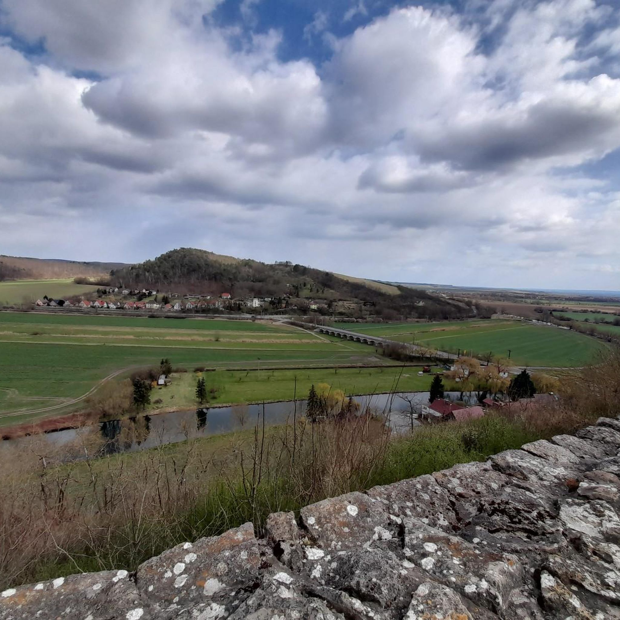
Other adventures around Hainleite


Tips from the Community


In the choir, a buttress supports the central axis of the building from four sides of an octagon in late Gothic style. The longitudinal galleries are divided into basket arches and continue into the choir area, where the patron's boxes are located. The parish hall is divided into three floors and vaulted by a shallow wooden barrel vault. A stucco frame in the center supports the painting "Dance of Death and the Resurrection," painted by Jürgen Wegener in 1934. Dating from the construction period are the organ front, a stucco-covered altarpiece, and a pulpit supported by angel wings on the northern triumphal arch pillar. The baptismal font is an eye-catcher, made of white marble. Source: https://de.wikipedia.org/wiki/St._Marien_(Bad_Frankenhausen)
3
0
St. Mary's Church is also called the Lower Church. It was built in 1215 as a Cistercian monastery church. In 1536, the monastery was secularized, and the church served as the main parish church until it burned down in 1689. It was rebuilt as a lower church between 1691 and 1701, incorporating the substructure of the massive tower on the north side of the choir and the wall of the polygonal choir. Source: https://de.wikipedia.org/wiki/St._Marien_(Bad_Frankenhausen)
4
0


Great cycling route and important largely traffic-free connection
0
0
Nice break point with a great view
0
0

The church is open on Sundays from 11 a.m. and has two beautifully restored windows behind the altar and a royal box.
2
0

Great museum in the castle about the region of Bad Frankenhausen. Everything worth knowing from history to nature. And for 4.00 euros admission there is a lot to see.
2
0
Frequently Asked Questions
How many road cycling routes are available in Hainleite?
Hainleite offers a wide selection of road cycling routes, with over 150 tours available. These routes cater to various skill levels, including approximately 30 easy, 110 moderate, and 12 difficult options, ensuring there's a suitable ride for every cyclist.
What kind of terrain and difficulty can I expect on road cycling routes in Hainleite?
Road cycling in Hainleite features varied terrain, including picturesque forested landscapes and moderately uphill sections. You'll encounter a mix of gradients suitable for different fitness levels, from gentle ascents to more challenging climbs and descents. The region's history of hosting professional races like the Rund um die Hainleite suggests a terrain that can provide a good workout for experienced riders.
Are there any scenic viewpoints or natural features to look out for while cycling in Hainleite?
Yes, Hainleite offers rewarding vistas. Cyclists can enjoy beautiful views of the Thuringian Basin and the Thuringian Forest, with panoramas extending towards the Harz mountains from elevated points like the Großer Horn. The region is also characterized by tranquil forest landscapes, providing shaded routes and a visually engaging experience. You might also pass by natural highlights such as Teichtal.
What historical or cultural sites can I explore along the road cycling routes?
Hainleite is rich in history. You can encounter sites like the Arnsburg Ruins, which offer brilliant views of the Wipperdurchbruch, or the historic Lohra Castle. Some routes may also lead you past the pillar basilica Münchenlohra or other significant landmarks like the Lower Sachsenburg (Hakenburg) Ruins.
What are the surface conditions like for road cycling in Hainleite?
While specific details for every road vary, many cycling routes in the broader Hainleite region utilize lightly trafficked roads, which are generally ideal for road cyclists seeking a serene and safe riding experience. The presence of dedicated cycling routes and the region's character imply a cyclist-friendly environment with suitable asphalt surfaces for road bikes.
Is Hainleite suitable for family-friendly road cycling?
Hainleite offers routes with varying difficulty levels, including easy paths, which can be suitable for families. For a break from cycling, the Possen Recreation and Leisure Park provides a variety of family-friendly activities, including playgrounds and animal encounters, making it a great stop for those cycling with children.
What do other road cyclists enjoy most about road cycling in Hainleite?
The road cycling routes in Hainleite are highly rated by the komoot community, with an average score of 4.5 stars from over 200 reviews. Cyclists often praise the varied terrain, the tranquil forested sections, and the moderate climbs that offer rewarding views. Over 2,000 road cyclists have used komoot to explore the region's diverse landscape.
Are there options for parking when visiting Hainleite for road cycling?
While specific parking areas for every route are not detailed, the region is well-equipped for outdoor enthusiasts. Towns and villages near popular cycling routes typically offer designated parking facilities. It's advisable to check local information for parking options at your chosen starting point.
Can I access road cycling routes in Hainleite using public transport with my bike?
Public transport options with bike carriage can vary by region and service provider. In Germany, regional trains often allow bikes, though restrictions may apply during peak hours or for larger groups. It's recommended to check the specific public transport operator's policies and schedules for the Hainleite region before planning your trip.
What is the best time of year for road cycling in Hainleite?
Hainleite offers enjoyable cycling experiences across multiple seasons. Spring and autumn typically provide pleasant temperatures and beautiful scenery, with vibrant foliage or blooming landscapes. Summer is also popular, though it can be warmer. Winter cycling is possible but may require more preparation due to colder temperatures and potential for icy conditions.
Are there any cafes or accommodation options along the road cycling routes in Hainleite?
Yes, the towns and villages surrounding the Hainleite region, such as Sondershausen, offer various amenities. You can find cafes, restaurants, and accommodation options to refuel and rest during or after your rides. It's a good idea to plan your route to pass through these areas for convenient stops.
What is the 'Rund um die Hainleite' race, and can I cycle its route?
The 'Rund um die Hainleite' was a classic professional road cycling race that was part of the UCI Europe Tour until 2007. Its historical association highlights the region's suitability for challenging road cycling. While there isn't one single public route officially designated as 'the race route,' the network of roads in Hainleite offers similar terrain and challenges that professional cyclists once faced. You can explore routes like Trinitatiskirche Sondershausen – St. Wigbert Monastery Ruins loop from Sondershausen to experience the region's challenging character.
Are there any long-distance road cycling routes in Hainleite?
While Hainleite offers many loop routes, some can be combined or extended for longer distances. For example, the Wipperdurchbruch Cycle Path – View of Kohnstein loop from Seega is a moderate 33.1-mile (53.3 km) route that provides a substantial ride. You can also explore routes like Trinitatiskirche Sondershausen – Unstrut-Werra Cycle Path loop from Sondershausen for a longer experience.
Most popular routes around Hainleite
Most popular attractions around Hainleite

Get inspired with the komoot mobile app


Explore more
Browse the best Road cycling routes in other regions.
