The best MTB trails around Dittelbrunn
4.2
(36)
218
riders
41
rides
Mountain biking around Dittelbrunn offers diverse terrain across Lower Franconia, Germany. The region features rolling hills, lush meadows, and dense forests, providing varied landscapes for mountain bike trails. Situated near the Haßberge Nature Park and the Main River, the area combines natural beauty with accessible routes. This environment is well-suited for mountain biking, with paths winding through woodlands and along riverbanks.
Best mountain bike trails around Dittelbrunn
- The most popular mountain bike trail is Flowtrail Meerbachtal – Brönnhof Trail loop…
Last updated: July 1, 2026
4.8
(4)
22
riders
40.3km
03:09
540m
540m
Moderate mountain bike ride. Good fitness required. Advanced riding skills necessary.
4.0
(4)
30
riders
27.2km
02:45
680m
680m
Moderate mountain bike ride. Good fitness required. Advanced riding skills necessary.

Sign up for free
5.0
(2)
19
riders
38.2km
02:19
380m
380m
Moderate mountain bike ride. Good fitness required. Suitable for all skill levels.
4.5
(4)
15
riders
34.4km
01:56
260m
260m
Moderate mountain bike ride. Great for any fitness level. Advanced riding skills necessary.
5.0
(1)
9
riders
10.5km
00:37
120m
120m
Easy mountain bike ride. Great for any fitness level. Suitable for all skill levels.
Get access to more routes and recommendations from other explorers.
Sign up for free
Already have an account?
Our route recommendations are based on thousands of hikes, rides, and runs completed by other people on komoot.
Start today with a free account
Your next adventure awaits.
Login or Signup
Other adventures around Dittelbrunn

Tips from the Community

Very flowing, but I would advise against it for beginners
0
0
Ride slowly, especially if you haven't ridden there before. However, you can also bypass the jumps.
0
0
Short trail section. There is something for everyone. Jumps, beginners can ride next to the jumps
0
0

Hambach Town Hall, built in 1983. Following the 1978 regional reform, in which the formerly independent municipalities of Hambach, Dittelbrunn, Holzhausen, and Pfändhausen were merged into a single municipality after some initial resistance, a new town hall was necessary. This functional new building (architect: Jürgen Michal) was located in the geographical center of the municipality, in Hambach, for better accessibility. To visually reduce the building's size, it was designed with three gabled roofs. The facade incorporates half-timbered elements, which, with their typical Franconian architectural style, help the building blend into its surroundings. It is situated directly adjacent to the forest, near the Marian grotto.
0
0
Delicious food and ice-cold beer
0
0
Food was very good and the beer ice cold
0
0

Very beautiful castle on the hillside.
4
0

Information about the Main Cycle Path: https://www.mainradweg.com
1
0
Frequently Asked Questions
How many mountain bike trails are available around Dittelbrunn?
There are over 40 mountain bike routes around Dittelbrunn listed on komoot, offering a variety of experiences. These include 11 easy routes and 31 moderate routes, with no difficult trails, making the area accessible for a wide range of riders.
What kind of terrain can I expect on mountain bike trails in Dittelbrunn?
Mountain biking in Dittelbrunn features diverse terrain, including picturesque rolling hills, lush green meadows, and dense forests. Many routes wind through woodlands and along riverbanks, especially near the Main River, providing a scenic and varied riding experience.
Are there any easy mountain bike trails suitable for beginners in Dittelbrunn?
Yes, Dittelbrunn offers 11 easy mountain bike trails perfect for beginners or those seeking a relaxed ride. An example is the Beaver dam – Path from Hain to Pfersdorf loop from Dittelbrunn, which is 14.2 km long and features minimal elevation changes.
What are the best seasons for mountain biking in Dittelbrunn?
The best seasons for mountain biking in Dittelbrunn are spring and autumn. During these times, the weather is mild, and the natural scenery is particularly vibrant, with blossoming flowers in spring and colorful deciduous forests in autumn.
Are there any circular mountain bike routes in Dittelbrunn?
Yes, many mountain bike routes in Dittelbrunn are circular, allowing you to start and end at the same point. An example is the Path from Hain to Pfersdorf – Beaver dam loop from Haardt, a moderate 34.4 km route.
What historical landmarks or attractions can I see along the mountain bike trails?
While riding, you can encounter several historical landmarks. Consider routes that pass near the Ruins of Botenlauben Castle or the Eiringsburg Ruins. The region also features the historic Alteburg ruin, offering panoramic views over the Main valley.
Are there any natural features or viewpoints to explore while mountain biking?
Absolutely. The region boasts diverse natural features. You might find routes leading to the Wichtelhöhlen Rock Formations or offering views of the Main River. The "Kreuzberg" Lookout Point is also a popular spot for expansive views.
What do other mountain bikers say about the trails in Dittelbrunn?
The mountain bike trails in Dittelbrunn are highly rated by the komoot community, with an average score of 4.3 stars from over 40 reviews. Over 200 mountain bikers have explored the area, often praising the varied terrain and scenic beauty of the routes.
Are there any routes that pass by places to rest or have a meal?
Yes, some routes incorporate local points of interest where you might find refreshment. For example, the Linden fountain – Ulrich Martin beer garden loop from Dittelbrunn is a moderate 38.4 km trail that leads past a local beer garden, offering a convenient stop.
Can I find trails that explore unique natural areas like former military training grounds?
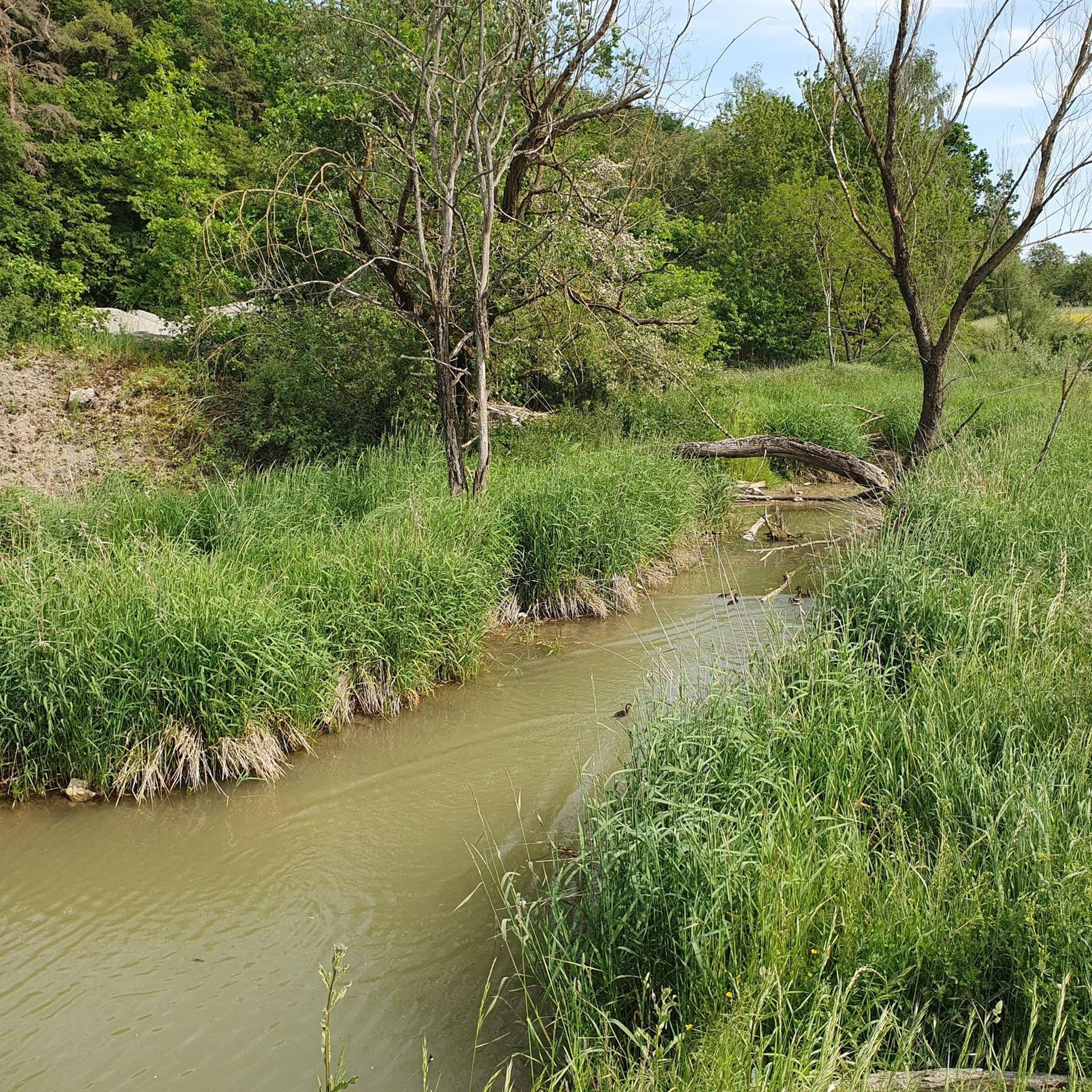
Yes, Dittelbrunn offers unique landscapes for exploration. The Flowtrail Meerbachtal – Brönnhof Trail loop from Pfändhausen, a moderate 40.3 km route, explores the distinctive natural meadows, hedges, and waterholes of the former Brönnhof military training area.
Are there mountain bike trails suitable for families with children?
While specific 'family-friendly' designations are not always explicit, the 11 easy routes available in Dittelbrunn are generally suitable for families with children who have some biking experience. These trails typically have less challenging terrain and elevation.
What is the typical difficulty level of mountain bike trails in Dittelbrunn?
The majority of mountain bike trails in Dittelbrunn are classified as moderate, with 31 such routes. There are also 11 easy trails, making the area suitable for riders looking for enjoyable, non-technical rides rather than extreme challenges.
Most popular routes around Dittelbrunn
Most popular attractions around Dittelbrunn

Get inspired with the komoot mobile app


Explore more
Browse the best MTB trails in other regions.
