The best road cycling routes around Tharandter Wald
4.5
(699)
9,666
riders
24
rides
Road cycling around Tharandter Wald features an idyllic landscape of rolling hills and dense woodlands, offering both challenging climbs and more leisurely stretches. The region is characterized by significant geological diversity, including porphyry ridges and basalt rock formations, which contribute to its unique visual appeal. Water bodies like the Triebischsee and the Wilde Weißeritz river add to the scenic variety of the routes. Many road cycling routes are well-signposted and run on asphalt roads, ensuring a pleasant cycling experience.
Best road cycling routes around Tharandter Wald
- The most popular road cycling route is Frauenstein Castle Ruins – Weißeritztal loop from Tharandt, a 51.1 miles (82.2 km) trail that takes 3 hours 53 minutes to complete. This difficult route connects historical sites with scenic river valleys.
- Another top favourite among local road cyclists is Richterteich – Frauensteiner Berg loop from Klingenberg-Colmnitz, a moderate 29.2 miles (47.0 km) path. This route explores varied terrain with hills and tranquil water bodies.
- Local road cyclists also love the Weißeritztal Cycle Path – Main Entrance to Großer Garten loop from Tharandt, a 21.4 miles (34.4 km) trail leading through river valleys and scenic areas, often completed in about 1 hour 40 minutes.
- Road cycling around Tharandter Wald is defined by rolling hills, dense forests, and river valleys. The network offers options for different ability levels, from moderate to difficult.
- The routes in Tharandter Wald are highly rated by the komoot community with an average score of 5.0 stars from over 20 reviews. More than 170 road cyclists have used komoot to explore Tharandter Wald's varied terrain.
Last updated: July 12, 2026
5.0
(3)
39
riders
82.2km
03:54
1,070m
1,070m
Hard road ride. Very good fitness required. Some segments of this route may be unpaved and difficult to ride.
5.0
(6)
26
riders
Moderate road ride. Good fitness required. Mostly well-paved surfaces and easy to ride.

Sign up for free
10
riders
35.5km
01:45
350m
350m
Moderate road ride. Good fitness required. Some segments of this route may be unpaved and difficult to ride.
12
riders
27.2km
01:18
340m
340m
Moderate road ride. Good fitness required. Mostly well-paved surfaces and easy to ride.
9
riders
Moderate road ride. Good fitness required. Mostly well-paved surfaces and easy to ride.
Get access to more routes and recommendations from other explorers.
Sign up for free
Already have an account?
Our route recommendations are based on thousands of hikes, rides, and runs completed by other people on komoot.
Start today with a free account
Your next adventure awaits.
Login or Signup
Popular around Tharandter Wald
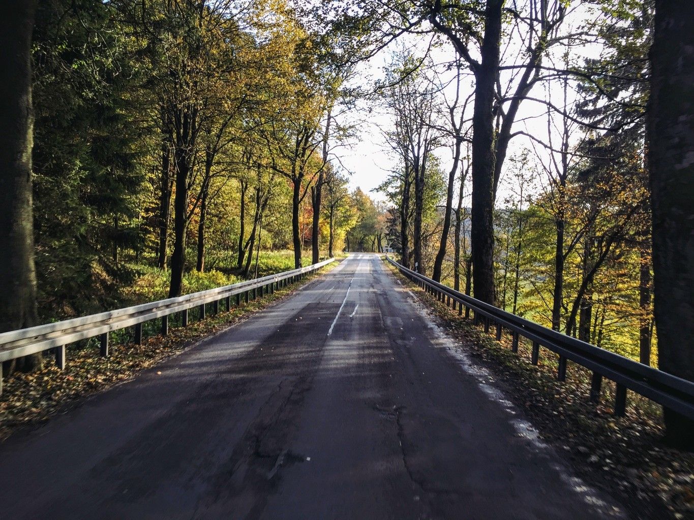
Weekend tours in the Ore Mountains

Hiking with heart in the Ore Mountains
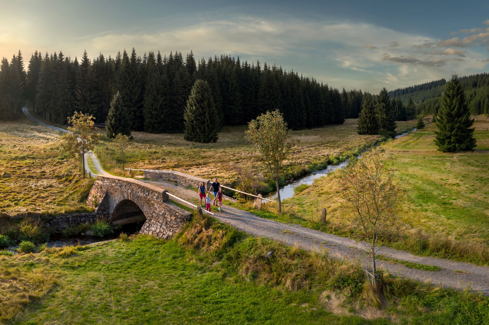
‘Good luck’ in the hiking paradise of the Ore Mountains
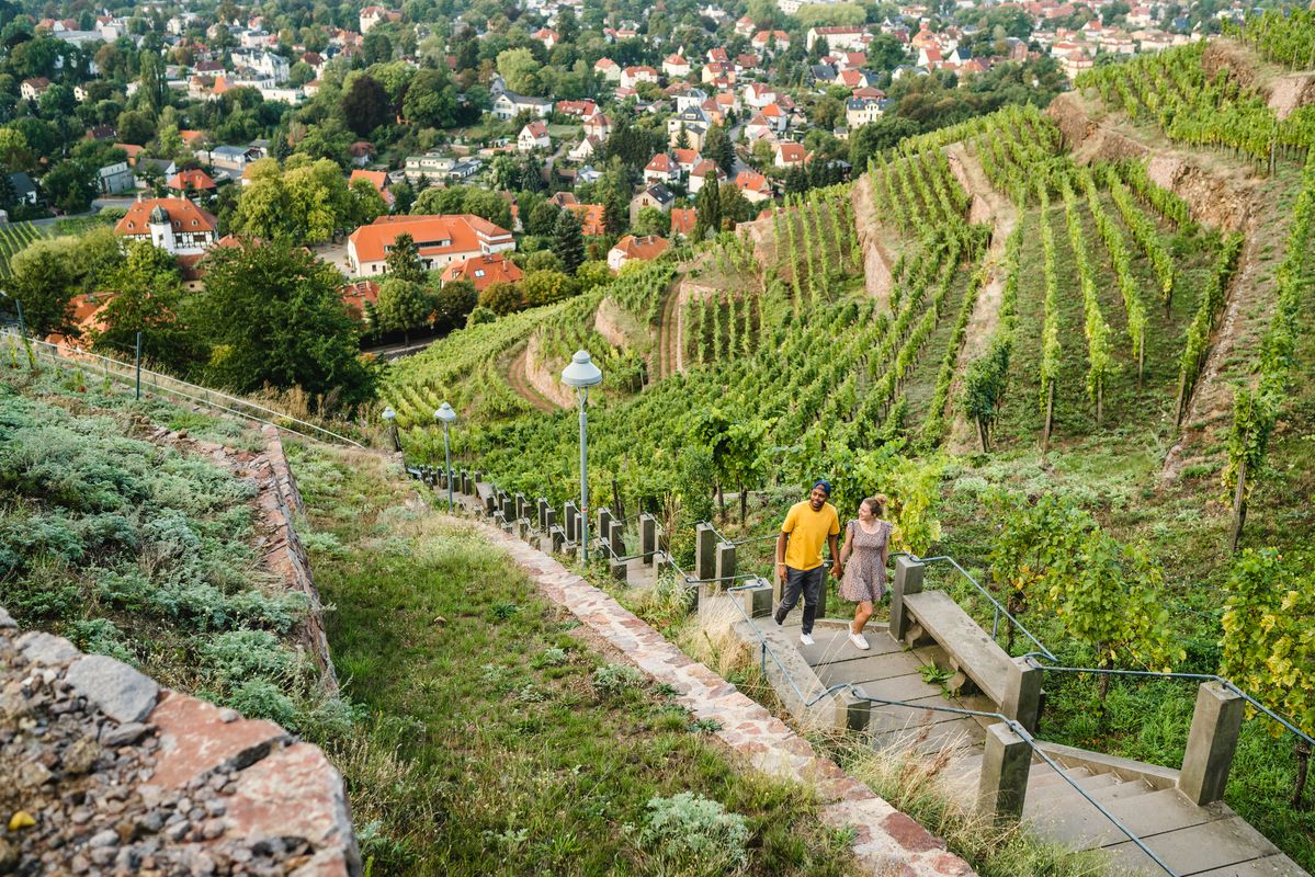
Great places closer to home – nature and fun in the Dresden Elbland

Digitale Wandernadel

Wandertouren - Eisenbahn & Wanderstock
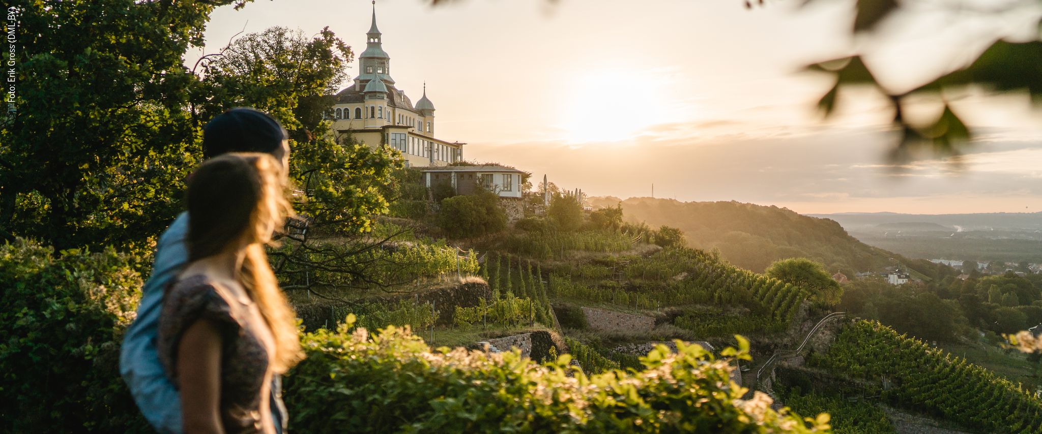
Natur entdecken – 10 Wandertouren abseits der Hauptpfade im Dresden Elbland
Hiking around Tharandter Wald
Cycling around Tharandter Wald
MTB Trails around Tharandter Wald
Other adventures around Tharandter Wald


Tips from the Community

The castle pond in Grillenburg, with a water surface of approx. 21,000 square meters, invites you to go punting. 20 rowing boats are available. After a relaxing punting trip, it's worth taking a break at the snack stand, which also provides enough seating. https://www.dresden-elbland.de/de/poi/bootsverleih/gondelerlebnis-imbiss-grillenburg/805811735/ Opening hours: Open during the season, from April to October, 11 am - 5 pm. Closed on Mondays.
1
0

Frauenstein Town Church "Our Lady" Information: It stands in the center of the market square. A memorial stone commemorates the year the first town church was built, 1491. The church was destroyed in the third town fire in 1869, and the new building, a single-nave church, was completed in 1873.
1
0

at Frauenstein market, Church of Our Lady, with Silbermann organ
0
0
Colmnitz Church. Information: The first church was built in the Middle Ages. It is the oldest building in Colmnitz, located in the center of the village. It only acquired its current form after the Reformation.
2
0

Two towers dominate the exterior silhouette of this landmark in southern Dresden. A surprise awaits visitors inside: numerous Art Nouveau elements characterize the interior of this church. (https://www.christuskirche-dresden.de/)
1
1

The ruins of Frauenstein Castle are located on a 680-meter-high granite porphyry rock on the ridge of the Eastern Ore Mountains near the town of Frauenstein in the district of Central Saxony. See: https://de.wikipedia.org/wiki/Burg_Frauenstein_(Erzgebirge)
3
1
Christuskirche in the Dresden district of Strehlen. A hall church in the style of Reform architecture. It was built between 1902 and 1905. (1904 Statue). Today, it is the last remaining church in Dresden with double towers. Of architectural, artistic, and urban planning significance.
1
0

There are several pedestrian bridges over the Weißeritz, and the riverbed is 3 meters high and blooming with greenery and flowers. It's beautiful to look at, but it seems that people in Freital have largely forgotten the flood of 2002 and the events surrounding the raging and destructive Weißeritz at that time.
0
0
Frequently Asked Questions
What kind of terrain can I expect on road cycling routes in Tharandter Wald?
Tharandter Wald offers a diverse landscape for road cyclists, characterized by rolling hills and dense woodlands. You'll encounter both challenging climbs and more leisurely stretches, with routes often running on well-maintained asphalt roads. The region's geological diversity, including porphyry ridges and basalt rock formations, adds to the unique visual appeal.
Are there road cycling routes suitable for beginners or less experienced riders?
Yes, while many routes offer challenging climbs, Tharandter Wald also has options suitable for less experienced riders. For example, the Weißeritztal Cycle Path – Main Entrance to Großer Garten loop from Tharandt is a moderate 21.4 miles (34.4 km) trail that leads through scenic river valleys, offering a more relaxed experience.
What are some notable natural attractions or viewpoints along the road cycling routes?
Road cycling routes in Tharandter Wald often pass by significant natural features. You can enjoy tranquil spots like Lake Triebisch, or explore areas shaped by the Wilde Weißeritz river. The region's geological diversity, with its porphyry ridges and basalt formations, also provides unique scenic backdrops.
Are there any historical sites or landmarks to see while road cycling in Tharandter Wald?
Absolutely. The region is rich in history. You can cycle past the impressive Ruins of Tharandt Castle, which date back to the early 13th century. Other historical points of interest include monuments dedicated to key figures in forestry, highlighting the area's long history of sustainable forest management.
What is the best time of year for road cycling in Tharandter Wald?
Spring and autumn are generally considered the best seasons for road cycling in Tharandter Wald. During these times, the weather is typically mild, and the natural landscape is particularly vibrant, offering beautiful colors and comfortable riding conditions.
Are there circular road cycling routes available?
Yes, many road cycling routes in Tharandter Wald are designed as loops, allowing you to start and finish in the same location. An example is the Richterteich – Frauensteiner Berg loop from Klingenberg-Colmnitz, a moderate 29.2 miles (47.0 km) path that explores varied terrain.
What is the typical distance and elevation gain for road cycling routes in this area?
Routes vary significantly in length and elevation. You can find shorter, moderate rides like the Tharandt Old Town – Weißeritztal loop from Tharandt, which is 16.9 miles (27.2 km) with about 340 meters of elevation gain. For more challenging rides, routes can exceed 50 miles (80 km) with over 1000 meters of climbing, such as the Frauenstein Castle Ruins – Weißeritztal loop from Tharandt.
Is Tharandter Wald suitable for family road cycling trips?
While many routes involve hills and can be challenging, there are also more moderate options that families with older, experienced children might enjoy. Look for routes described as 'moderate' and consider their distance and elevation profile to ensure they match your family's fitness level. The well-maintained asphalt roads contribute to a pleasant cycling experience.
What do other road cyclists say about their experience in Tharandter Wald?
The road cycling routes in Tharandter Wald are highly rated by the komoot community, with an average score of 5.0 stars from over 20 reviews. Cyclists often praise the tranquil nature, the blend of challenging climbs and scenic stretches, and the opportunity to explore historical sites and natural beauty.
Are there any particularly challenging road cycling routes in Tharandter Wald?
Yes, Tharandter Wald offers routes with significant elevation gain for experienced road cyclists. The Tharandt Old Town – Beerwalder Berg Switchbacks loop from Tharandt, for instance, is a moderate 29.9 miles (48.1 km) route with over 700 meters of climbing, providing a good test of endurance.
Can I access road cycling routes in Tharandter Wald using public transport?
Tharandt, a central town in the region, has good public transport connections, making it a convenient starting point for many routes. You can often reach the beginning of various road cycling tours by train or bus, allowing for car-free access to the forest.
Most popular routes around Tharandter Wald
Most popular attractions around Tharandter Wald

Get inspired with the komoot mobile app


Explore more
Browse the best Road cycling routes in other regions.
