The best MTB trails around Dölauer Heide
4.6
(804)
2,843
riders
301
rides
Mountain biking around Dölauer Heide offers a diverse experience within a sprawling 740-hectare forest complex on the western edge of Halle (Saale). The region is characterized by a varied topography, including a plateau ridge with small mountains, V-shaped valleys, and erosion gorges like the "Wolfsschlucht." Porphyry rock formations in the eastern section contribute to varied terrain, while a wide valley descends towards the Saale river in the northwest. This geological diversity provides a range of natural landscapes suitable for mountain biking.
Best mountain bike trails around Dölauer Heide
- The most popular mountain bike trail is Wettin Ferry – Brachwitzer Alps loop from Halle-Nietleben, a 28.8 miles (46.3 km) trail that takes 3 hours 1 minute to complete. This moderate route explores the varied landscapes surrounding the Brachwitzer Alps.
- Another top favourite among local mountain bikers is Rassnitzer Lake – View of Raßnitzer Lake loop from Halle-Nietleben, a moderate 33.2 miles (53.4 km) path. This route offers views of Raßnitzer Lake and traverses diverse terrain.
- Local mountain bikers also love the Salziger Lake near Langenbogen – Heidesee loop from Halle-Nietleben, a 47.2 miles (76.0 km) trail leading through varied landscapes including the Heidesee, often completed in about 5 hours 55 minutes.
- Mountain biking around Dölauer Heide is defined by its plateau ridge, V-shaped valleys, and porphyry rock formations within a large forest complex. The network offers options for easy, moderate, and difficult routes, catering to different ability levels.
- The routes in Dölauer Heide are highly rated by the komoot community with an average score of 4.6 stars from over 700 reviews. More than 3000 mountain bikers have used komoot to explore Dölauer Heide's varied terrain.
Last updated: November 1, 2026
4.3
(9)
21
riders
53.4km
03:13
150m
150m
Moderate mountain bike ride. Good fitness required.
5.0
(1)
10
riders
75.8km
05:54
720m
720m
Hard mountain bike ride. Very good fitness required. Advanced riding skills necessary.

5.0
(3)
7
riders
Moderate mountain bike ride. Good fitness required. Advanced riding skills necessary.
5.0
(1)
6
riders
Easy mountain bike ride.
5.0
(1)
5
riders
22.0km
01:19
110m
110m
Easy mountain bike ride.
Get access to more routes and recommendations from other explorers.
Already have an account?
Our route recommendations are based on thousands of hikes, rides, and runs completed by other people on komoot.
Start today with a free account
Your next adventure awaits.
Popular around Dölauer Heide
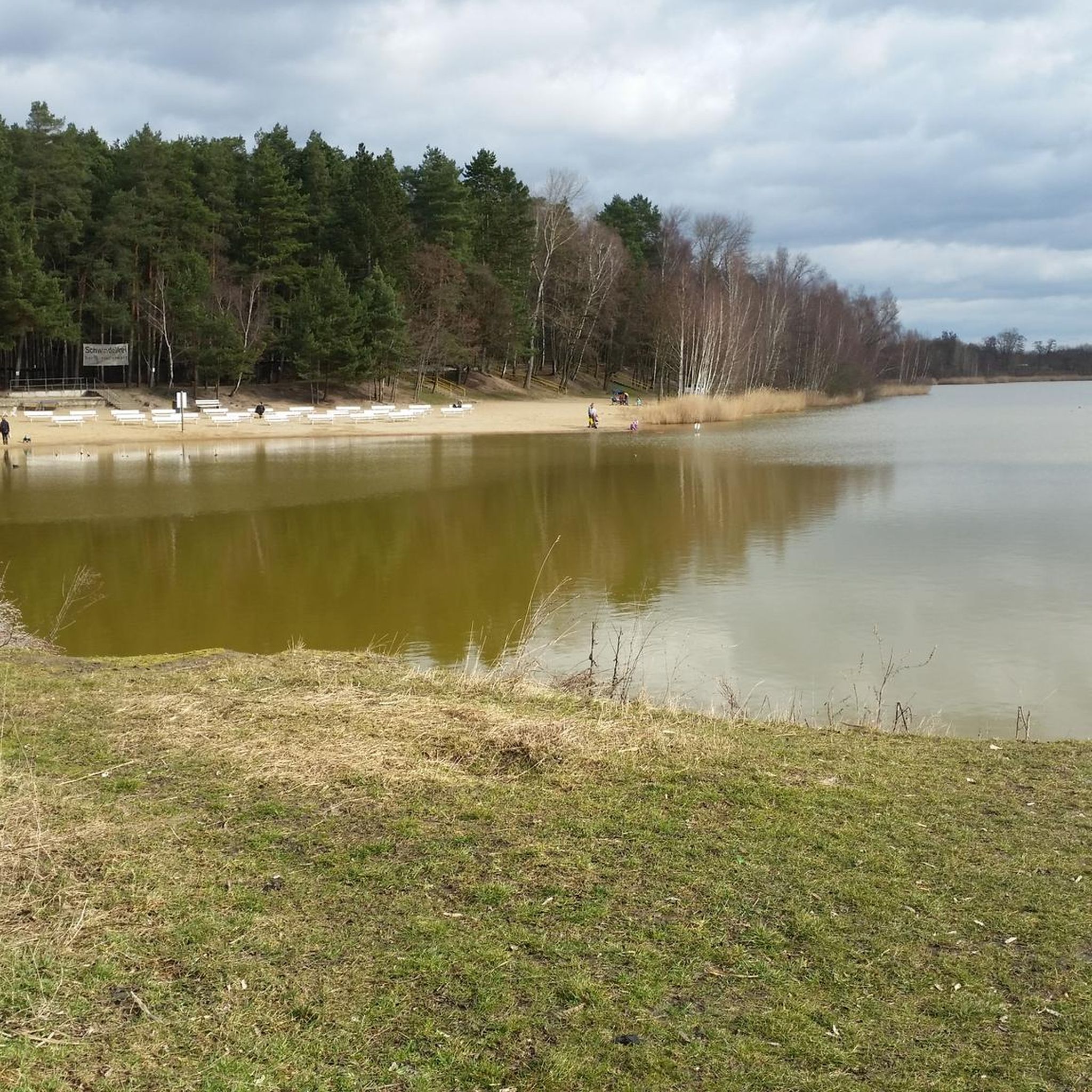
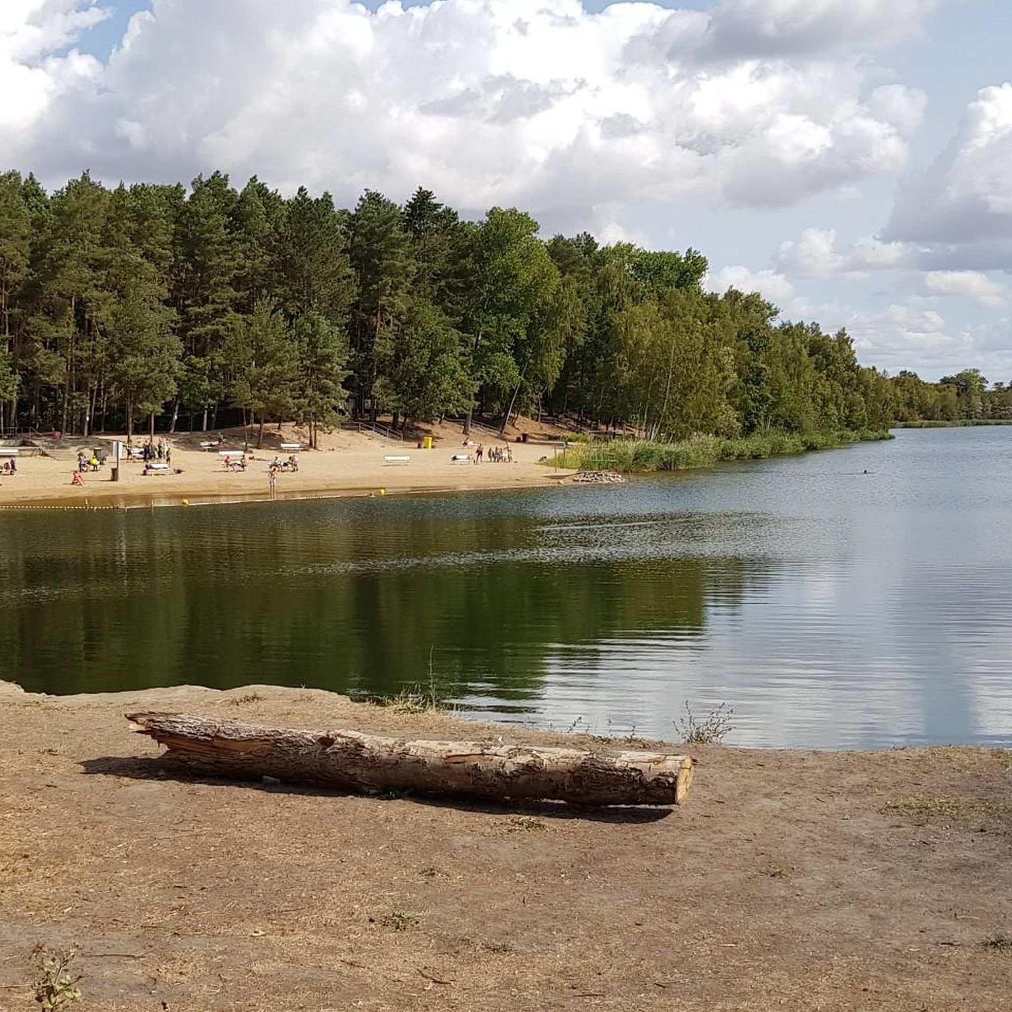
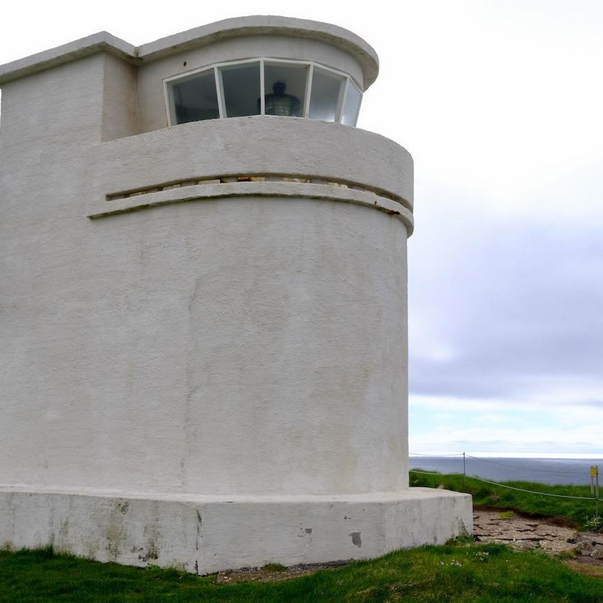


Tips from the Community

The bridge connects Rabeninsel with the surrounding trail network and leads directly over a branch of the Saale river. From here, there are beautiful views of the water and the densely overgrown banks.
0
0
The Planena lock is a striking hydraulic structure on the Saale river. From the surrounding paths, there is a good view of the lock facility and the river.
0
0
Striking railway bridge with an interesting design and a lot of history. A great destination for anyone interested in historical railway lines and structures.
2
0

It's always lovely; the view is magnificent and invites you to linger and explore.
0
0

It's always nice to preserve such buildings.
4
0

This view is truly a dream.
4
1

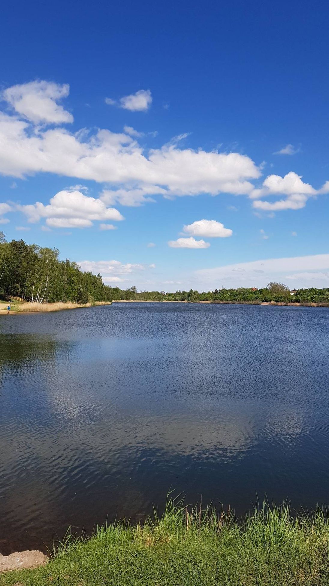
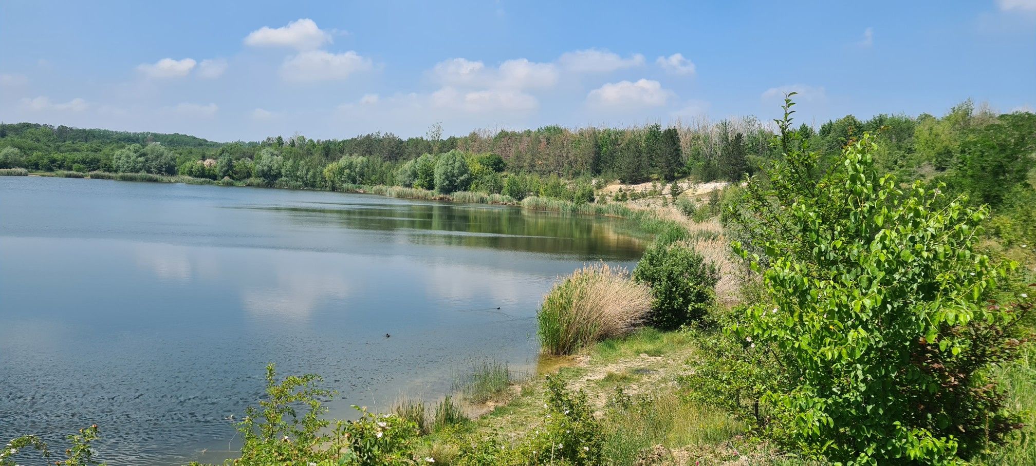
Just to clarify. Just because the Salza flows past the pond, the body of water is not called the Salty Lake. The name was already given long before (see below). The horseshoe pond is known as the Great Castle Pond and was only created at the end of the 1960s. The Salty Lake was located a little further west in a depression that stretches from Erdeborn to the Wansleben - sewage treatment plant road, the K 2149. The Salty Lake was about 3 times as large and twice as deep as its brother, the Sweet Lake, and was formed like the entire landscape by subsidence processes that began about 3,000,000 years ago (Cretaceous/Tertiary). In 1892, however, the "plug" was pulled and the lake almost completely drained. All that remains are 2 even deeper depressions, the Bindersee near Rollsdorf and the Kernersee, the one with the Fischerhof on the former eastern bank. The path that leads from Langenbogen on the Salza to Köllme is part of the Saale-Harz cycle path (Halle-Wippra). I have included a map with the pictures. The photos are great, it looks really idyllic. So far just a bit of local history by Willi
1
0
Frequently Asked Questions
How many mountain bike trails are available in Dölauer Heide?
Dölauer Heide offers a wide range of mountain biking opportunities, with over 340 routes available. These include options for all skill levels, with more than 100 easy trails, over 210 moderate routes, and 25 challenging trails for experienced riders.
What kind of terrain can I expect when mountain biking in Dölauer Heide?
The terrain in Dölauer Heide is highly varied, making it an engaging area for mountain biking. You'll encounter a plateau ridge with small mountains, V-shaped valleys, and erosion gorges like the 'Wolfsschlucht'. The eastern section features porphyry rock formations, contributing to diverse ground conditions, while a wide valley descends towards the Saale river in the northwest. This geological diversity provides everything from flowing singletracks to more technical sections.
Are there any easy mountain bike trails suitable for beginners or families?
Yes, Dölauer Heide has over 100 easy mountain bike trails. A good option for a more relaxed ride is the Heidesee (Bruchfeldsee) – Forest trail by the Saale loop from Halle-Nietleben, which is 19.2 km long and takes approximately 1 hour 7 minutes to complete.
What are some notable natural features or landmarks I can see while mountain biking?
Dölauer Heide is rich in natural beauty and historical sites. You can explore the Heidesee lake, ride through the expansive Dölauer Heath forest, or visit the Bischofswiese Archaeological Site, which features ancient Neolithic fortifications and burial mounds. The Kellerberg also offers elevated views.
Are there any mountain bike routes that include views of lakes?
Absolutely. Several routes offer scenic views of the region's lakes. For example, the Rassnitzer Lake – View of Raßnitzer Lake loop from Halle-Nietleben is a moderate 53.4 km path that provides excellent views of Raßnitzer Lake. Another option is the Salziger Lake near Langenbogen – Heidesee loop from Halle-Nietleben, a more challenging 76.0 km trail that passes by the Heidesee.
What do other mountain bikers say about the trails in Dölauer Heide?
The mountain biking trails in Dölauer Heide are highly regarded by the komoot community, with an average rating of 4.6 stars from over 700 reviews. Riders often praise the diverse landscapes, the variety of trail difficulties, and the engaging experience offered by the region's unique topography.
Are there any longer, more challenging mountain bike routes for experienced riders?
Yes, for experienced riders seeking a longer challenge, the Salziger Lake near Langenbogen – Heidesee loop from Halle-Nietleben is a difficult 76.0 km trail that typically takes around 5 hours 55 minutes to complete. Another substantial route is the Pier at Wallendorf Lake – View of Raßnitzer Lake loop from Halle-Nietleben, a moderate 62.1 km ride.
Can I find historical sites or archaeological points of interest along the trails?
Dölauer Heide is rich in history. You can visit the Bischofswiese Archaeological Site, which is one of the largest and oldest Neolithic fortifications. The area also contains 35 Neolithic burial mounds, some of which are stone box graves. Informational boards provide details about excavations, allowing you to combine your ride with educational insights into ancient history.
Are there any routes that explore the Brachwitzer Alps area?
Yes, the Wettin Ferry – Brachwitzer Alps loop from Halle-Nietleben is a popular moderate route that explores the varied landscapes surrounding the Brachwitzer Alps. This trail is 46.3 km long and typically takes around 3 hours 1 minute to complete.
What makes Dölauer Heide a 'super bike revier'?
Dölauer Heide is recognized as a 'super bike revier' due to its diverse natural landscape and dedicated trail networks. The area's varied topography, including elevation changes, V-shaped valleys, and porphyry rock formations, creates an ideal setting for a wide range of mountain biking routes, from flowing singletracks to more technical sections, catering to different skill levels and preferences.
Are there any specific viewpoints or towers to visit in the area?
Yes, the Kolkturm tower on the Kolkturmberg is a notable point of interest in the Dölauer Heide area. It offers elevated perspectives of the surrounding landscape, providing a great spot to take a break and enjoy the views during your ride.
Most popular routes around Dölauer Heide
Most popular attractions around Dölauer Heide

Get inspired with the komoot mobile app


Explore more
Browse the best MTB trails in other regions.
