The best walks and hikes around Diebziger Busch
4.4
(200)
814
hikers
90
hikes
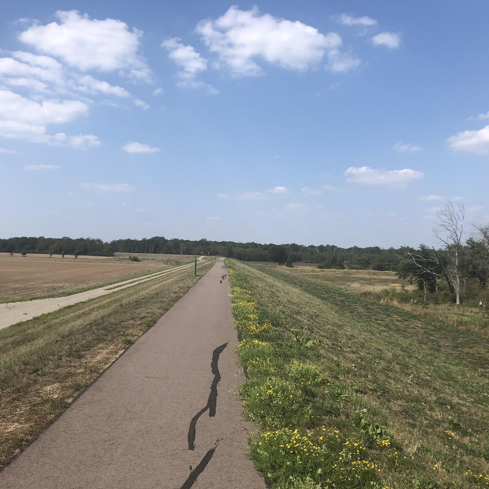
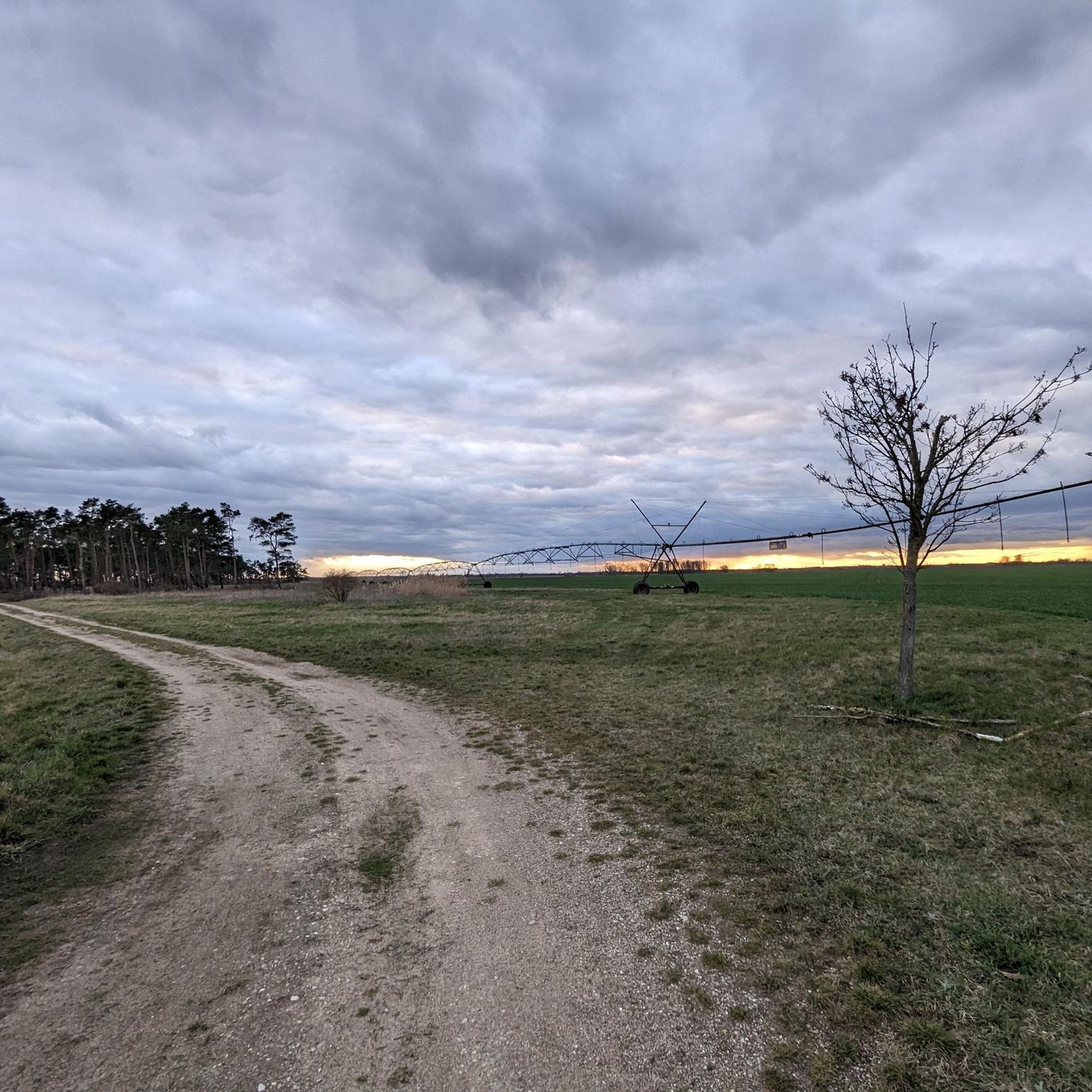
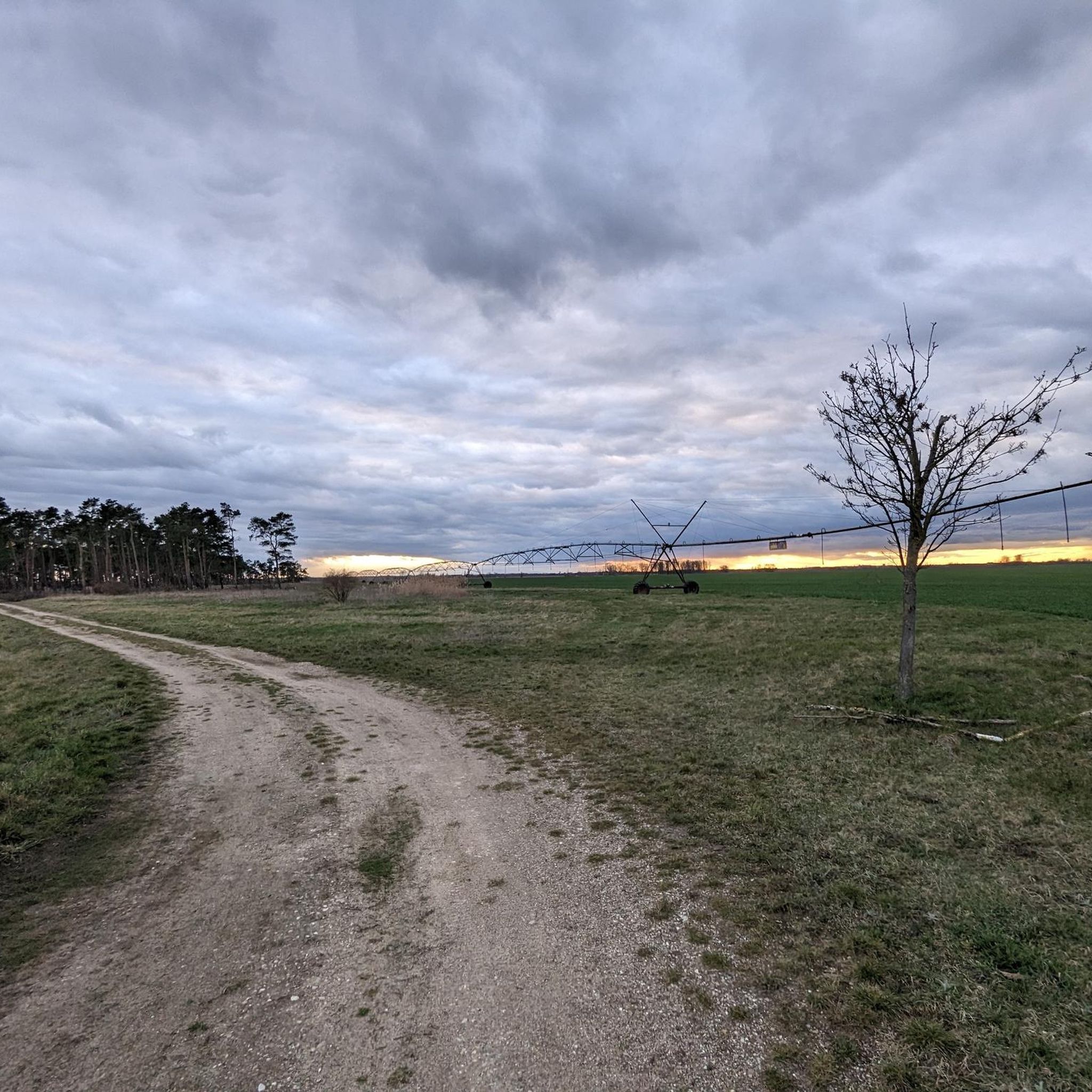
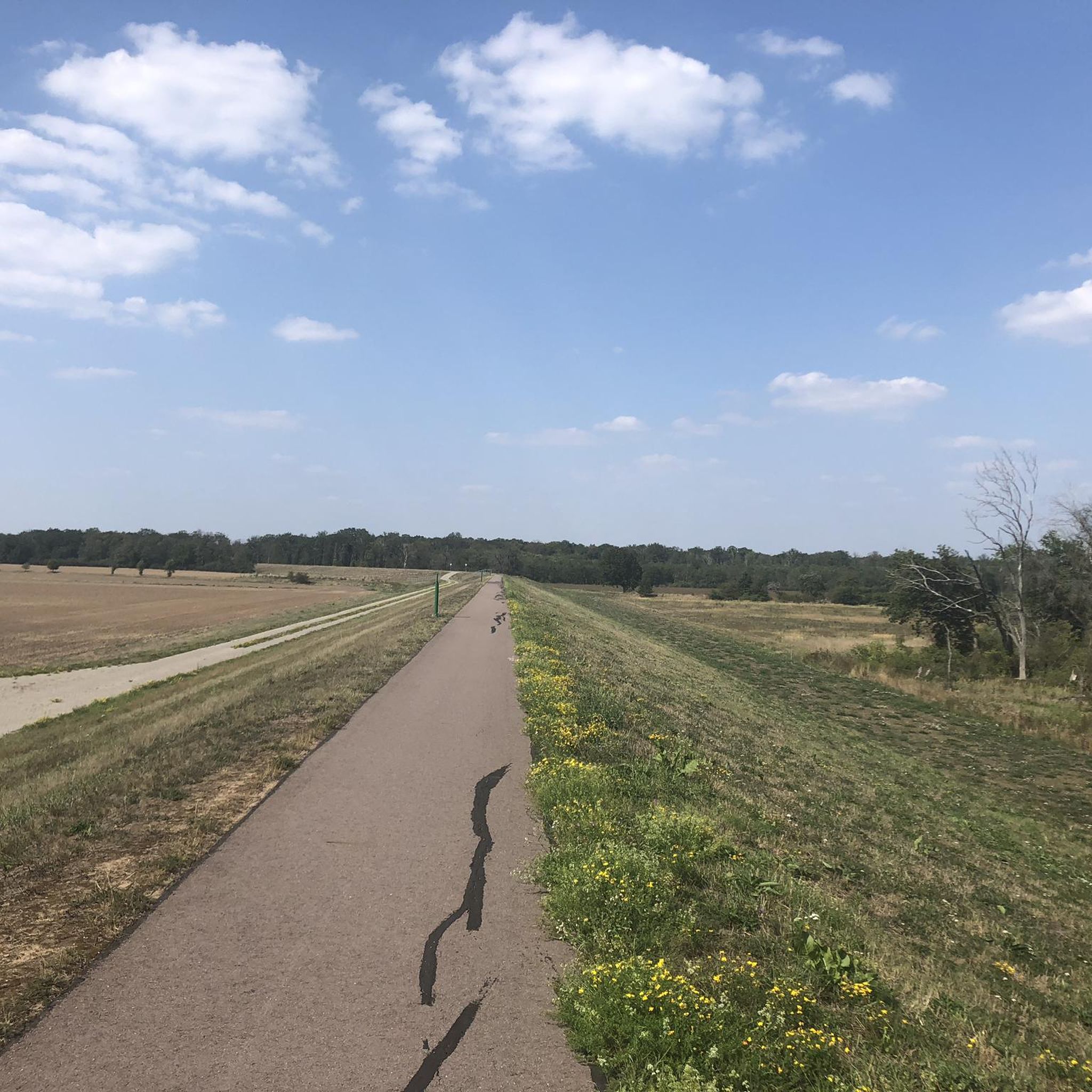
Hiking around Diebziger Busch offers exploration of a near-natural oak-elm hardwood floodplain forest within the Elbe river lowlands. This nature reserve features a diverse tree population, including oak, elm, and field maple, alongside rich undergrowth. The landscape is characterized by varying forest types, interspersed grasslands, and agricultural fields, with the Taube stream flowing through the area.
Best hiking trails around Diebziger Busch
- The most popular hiking route is Bridge Over the Taube loop from Diebziger Busch, a 5.5 miles…
Last updated: June 27, 2026
5.0
(2)
5
hikers
8.91km
02:14
10m
10m
Moderate hike. Good fitness required. Easily-accessible paths. Suitable for all skill levels.
3
hikers
Easy hike. Great for any fitness level. Easily-accessible paths. Suitable for all skill levels.

Sign up for free
5.0
(1)
4
hikers
14.5km
03:40
30m
30m
Moderate hike. Good fitness required. Easily-accessible paths. Suitable for all skill levels.
4
hikers
6.42km
01:39
20m
20m
Easy hike. Great for any fitness level. Easily-accessible paths. Suitable for all skill levels.
3.2
(6)
43
hikers
Easy hike. Great for any fitness level. Easily-accessible paths. Suitable for all skill levels.
Get access to more routes and recommendations from other explorers.
Sign up for free
Already have an account?
Our route recommendations are based on thousands of hikes, rides, and runs completed by other people on komoot.
Start today with a free account
Your next adventure awaits.
Login or Signup
Tips from the Community

Plastered hall church from 1795. Late Romanesque west tower with lantern and curved pyramidal roof from 1795
0
0


a wonderful castle complex operated by a club
6
0

Monument from 1975 on Thälmannplatz
0
0
idyllic little pond with a few benches
0
0
The megalithic tomb was discovered in 1784.
0
0
The church was built at the end of the 18th century.
0
0

There has recently been a charging station for e-bikes
0
0
Frequently Asked Questions
How many hiking trails are available in Diebziger Busch?
There are over 80 hiking routes available in Diebziger Busch, offering a wide range of options for different preferences and fitness levels. The komoot community has explored these trails extensively, with more than 800 hikers using the platform to discover the area.
What kind of landscape can I expect when hiking in Diebziger Busch?
Diebziger Busch is primarily characterized by a near-natural oak-elm hardwood floodplain forest, part of the Elbe river lowlands. Despite being separated from the Elbe by a dike, it retains its unique floodplain characteristics. You'll encounter diverse tree species like field maple, sessile oak, and various elms, along with rich undergrowth. The landscape also features interspersed grasslands and agricultural fields, with the Taube stream flowing through parts of the nature reserve.
Are there easy hiking trails suitable for beginners or casual walkers?
Yes, Diebziger Busch offers many easy hiking options. Out of the over 80 available routes, 59 are classified as easy. An example of an easy route is the Evangelical Church Wulfen – Wulfen Megalithic Tomb loop from Osternienburger Land, which is 4.7 miles (7.6 km) long and combines natural forest paths with cultural landmarks.
Can I find circular hiking routes in Diebziger Busch?
Yes, many of the trails in Diebziger Busch are designed as circular routes, allowing you to start and end at the same point. A popular example is the Bridge Over the Taube loop from Diebziger Busch, a 5.5-mile (8.9 km) moderate trail that follows the Taube stream.
What wildlife might I encounter while hiking in Diebziger Busch?
Diebziger Busch is a sanctuary for diverse wildlife. Hikers might spot various bird species, including the European honey buzzard, red kite, black kite, and goshawk. Beavers and otters are also present, particularly along the Taube stream. The area is also home to numerous amphibian species like the European fire-bellied toad and European tree frog, as well as several bat species.
Is Diebziger Busch suitable for family hikes?
Yes, Diebziger Busch is well-suited for family hikes, especially given the abundance of easy trails. The diverse natural environment, with its unique floodplain forest and opportunities for wildlife observation, can be engaging for children. The relatively flat terrain makes it accessible for families with varying fitness levels.
Are dogs allowed on the trails in Diebziger Busch?
While specific regulations for dogs within the Diebziger Busch nature reserve can vary, generally, dogs are permitted on trails in many natural areas in Germany, often on a leash. It's always recommended to keep dogs under control to protect the local wildlife and ensure a pleasant experience for all hikers. Please check local signage for any specific restrictions.
Where can I park when visiting Diebziger Busch for a hike?
Specific parking areas are typically available at common entry points to nature reserves. While not explicitly detailed in the guide data, it's common for trailheads near villages like Wulfen or Osternienburger Land to have designated parking. We recommend checking the starting points of individual komoot tours for precise parking information.
What do other hikers say about the trails in Diebziger Busch?
The trails in Diebziger Busch are highly rated by the komoot community, with an average score of 4.5 stars from over 190 reviews. Hikers often praise the tranquil woodlands, the diverse natural environment, and the well-maintained paths that offer a peaceful escape into nature.
Are there any cultural landmarks or points of interest along the hiking routes?
Yes, some routes combine natural exploration with cultural sights. For instance, the Evangelical Church Wulfen – Wulfen Megalithic Tomb loop from Osternienburger Land includes the Wulfen Megalithic Tomb, offering a glimpse into the region's history alongside its natural beauty.
What is the best time of year to hike in Diebziger Busch?
Diebziger Busch offers unique experiences throughout the year. Spring brings vibrant new growth and active birdlife, while autumn showcases beautiful fall foliage. Summer is ideal for longer days and warmer weather, and even winter hiking can be peaceful, offering a different perspective on the floodplain forest. The near-natural oak-elm hardwood floodplain forest is a beautiful sight in any season.
Are there any longer or more challenging routes available?
While most routes are easy to moderate, there are options for longer excursions. For example, the Wulfen Megalithic Tomb – Wulfen Church loop from Wulfen (Anhalt) is a moderate 9.0-mile (14.5 km) trail that takes about 3 hours 40 minutes to complete, leading through diverse forest and open areas.
Most popular routes around Diebziger Busch

Get inspired with the komoot mobile app


Explore more
Browse the best Hikes in other regions.
