The best road cycling routes around Osterholz
4.4
(1660)
17,754
riders
195
rides
Road cycling routes around Osterholz traverse a landscape characterized by the unique Teufelsmoor raised bog, extensive river systems including the Wümme and Hamme, and the flat terrain of the Weser Marshes. The region's low elevation, with the highest natural point in nearby Bremen at 32.5 meters, makes it suitable for road cycling. Green meadows, dense forests, and idyllic river scenery define the area, offering diverse routes for various skill levels.
Best road cycling routes around Osterholz
- The most popular road…
Last updated: October 7, 2026
5.0
(4)
54
riders
55.2km
02:52
930m
930m
Hard road ride. Very good fitness required. Mostly well-paved surfaces and easy to ride.
4.6
(137)
1,145
riders
36.5km
01:44
380m
380m
Moderate road ride. Good fitness required. Mostly well-paved surfaces and easy to ride.

38
riders
95.7km
04:39
1,230m
1,230m
Hard road ride. Very good fitness required. Mostly well-paved surfaces and easy to ride.
4.5
(4)
22
riders
45.5km
02:10
460m
460m
Moderate road ride. Good fitness required. Some segments of this route may be unpaved and difficult to ride.
34
riders
94.2km
04:07
490m
490m
Moderate road ride. Good fitness required. Some segments of this route may be unpaved and difficult to ride.
Get access to more routes and recommendations from other explorers.
Already have an account?
Our route recommendations are based on thousands of hikes, rides, and runs completed by other people on komoot.
Start today with a free account
Your next adventure awaits.
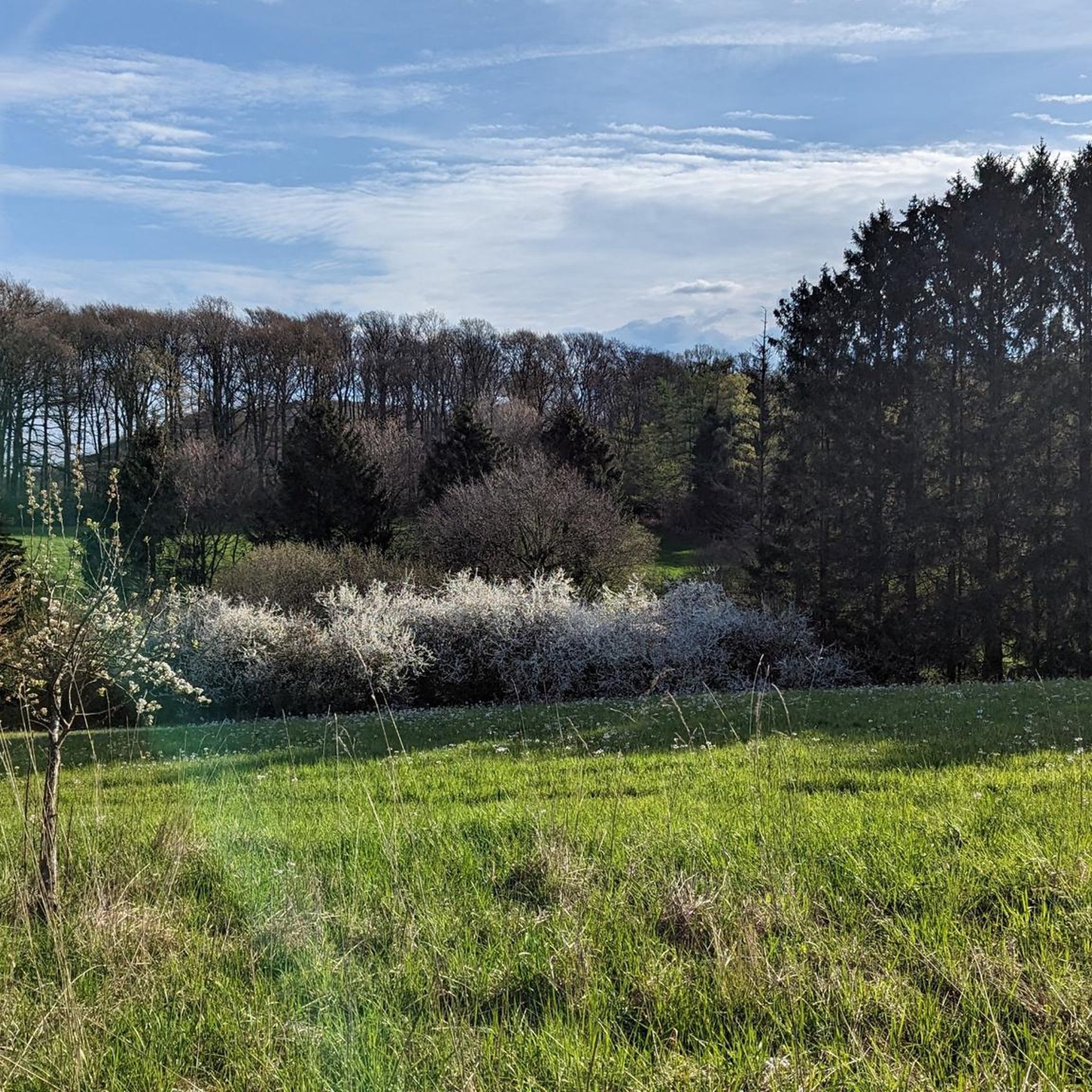
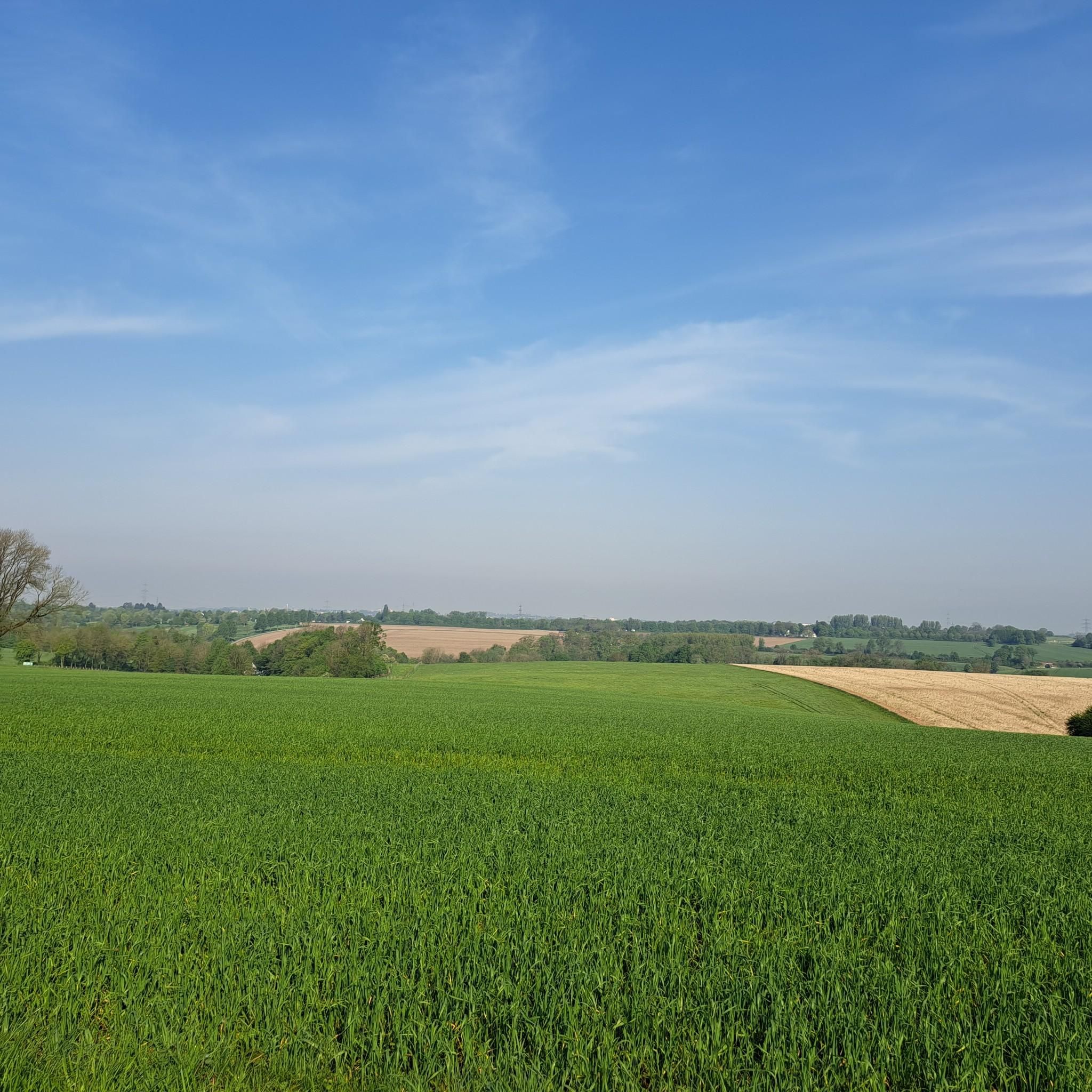
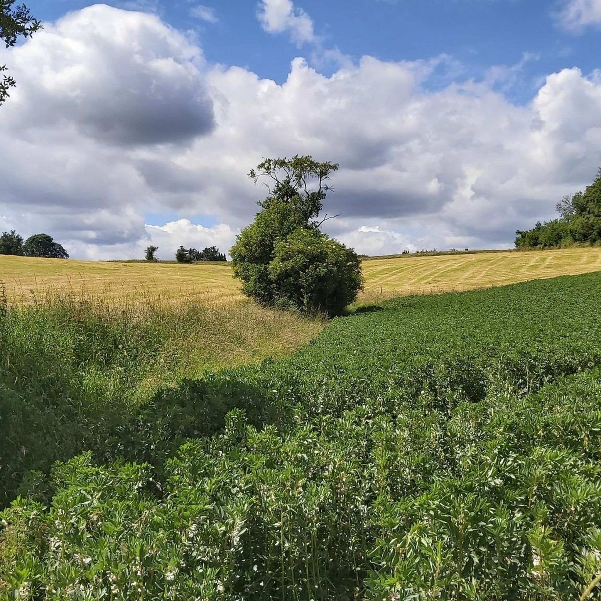
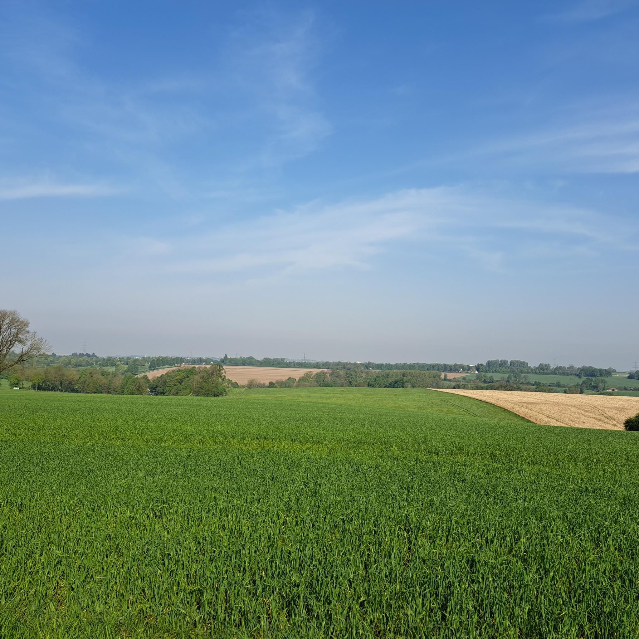
Tips from the Community

More semi for hikers, a great area for cyclists.
0
0

The Rheinaue Langel-Merkenich nature reserve is located in the independent city of Cologne in North Rhine-Westphalia. It extends west of Leverkusen, west along the Rhine between Langel in the north and Merkenich in the southwest.
0
0


There is an average gradient of 3-5% here – that doesn't sound like much, but it wears your legs out over time. And especially in the forest section, there are short but steep climbs (up to 8-10% gradient) that require strength and endurance.
0
0

This is how I imagine an ideal cycling connection: a flat route with a lot of history. An almost beneficial difference compared to the otherwise Wuppertal cycling infrastructure, which makes a detour worthwhile.
0
0

Especially on the roadside, gloomy asphalt quality, but on the other hand, no destroyed bike path that one could somehow be forced to use. Compared to the country road via Homberg, definitely my preferred option for approaching Ratingen from the east.
0
0

Good starting point (beginning of the Nordbahntrasse). Plenty of space in the P&R parking lot (don't park in the EDDEKA parking lot, it could get expensive).
0
0

A very extensive cycle path along the Rhine with several opportunities to linger by the river.
0
0
Frequently Asked Questions
How many road cycling routes are available in Osterholz?
Osterholz offers a wide selection of road cycling routes, with over 200 tours available. These routes cater to various skill levels, including easy, moderate, and difficult options.
What kind of terrain can I expect on road cycling routes in Osterholz?
The region is characterized by its generally flat terrain, making it ideal for road cycling. You'll encounter the unique Teufelsmoor raised bog, extensive river systems like the Wümme and Hamme, and the flat landscapes of the Weser Marshes. The highest natural point in nearby Bremen is only 32.5 meters above sea level, ensuring a mostly gentle ride.
What is the best time of year for road cycling in Osterholz?
The most enjoyable seasons for road cycling in Osterholz are spring and summer, when the natural environment is vibrant and the weather is mild. Autumn also provides a beautiful setting, with the deciduous forests displaying rich colors.
What natural features or landmarks can I see while road cycling in Osterholz?
While cycling, you can experience the distinctive Teufelsmoor bog landscape, enjoy wide views of the Wümme and Blockland meadows, and observe diverse birdlife at Broad Water. The region is also shaped by the Wümme and Hamme rivers. For specific points of interest, consider visiting the Osterholzer Bach Crossing or the Osterholz Spoil Heap.
Are there any cultural attractions accessible by road bike in Osterholz?
Yes, beyond the natural beauty, you can explore cultural attractions such as Schoenebeck Castle, known for its Baroque style, and the Klosterstift Museum in Osterholz-Scharmbeck, which offers insights into local history. Peat barge trips on the Hamme river are also available from May to October.
Are there routes suitable for beginners or less experienced road cyclists?
Absolutely. Osterholz offers 26 easy road cycling routes, perfect for beginners or those looking for a relaxed ride. The generally flat terrain across the region is very accommodating for all skill levels.
Are there any challenging road cycling routes for experienced riders?
For experienced riders seeking a challenge, Osterholz provides 36 difficult road cycling routes. One such route is the View of Gräfrath Old Town – Burg Castle (Schloss Burg) loop from Vohwinkel Schwebebahn, which is 32.8 miles (52.9 km) long and features significant elevation changes.
What do other cyclists say about the road cycling routes in Osterholz?
The road cycling routes in Osterholz are highly rated by the komoot community, with an average score of 4.37 stars from over 1200 reviews. Cyclists often praise the varied terrain, from the unique bog landscapes to the idyllic river scenery, and the extensive network of paths.
Are there circular road cycling routes in Osterholz?
Many of the road cycling routes in Osterholz are designed as loops, allowing you to start and end at the same point. An example of a moderate circular route is the Nordbahntrasse – View of Wuppertal loop from Vohwinkel Schwebebahn, which follows a former railway line.
Where can I find parking for road cycling routes in Osterholz?
Parking is available at various points throughout the region to access the cycling routes. One specific option is the Hermgesberg Hiking Car Park, which can serve as a convenient starting point for your ride.
Are there road cycling routes with cafe stops or places to rest?
Yes, many routes in Osterholz pass through quaint villages and towns where you can find cafes and restaurants for a break. The region's popularity with cyclists means there are often establishments catering to outdoor enthusiasts along the way.
Are there any long-distance road cycling options around Osterholz?
For those looking for longer rides, Osterholz offers several options. The View of the Rhine Plain – Bergisches Land Rail Trail loop from Vohwinkel Schwebebahn is a substantial 62.4 miles (100.4 km) trail that takes you through varied landscapes.
Most popular routes around Osterholz
Most popular attractions around Osterholz

Get inspired with the komoot mobile app


Explore more
Browse the best Road cycling routes in other regions.
