The best MTB trails around Hohe Mark
4.5
(3641)
12,716
riders
720
rides
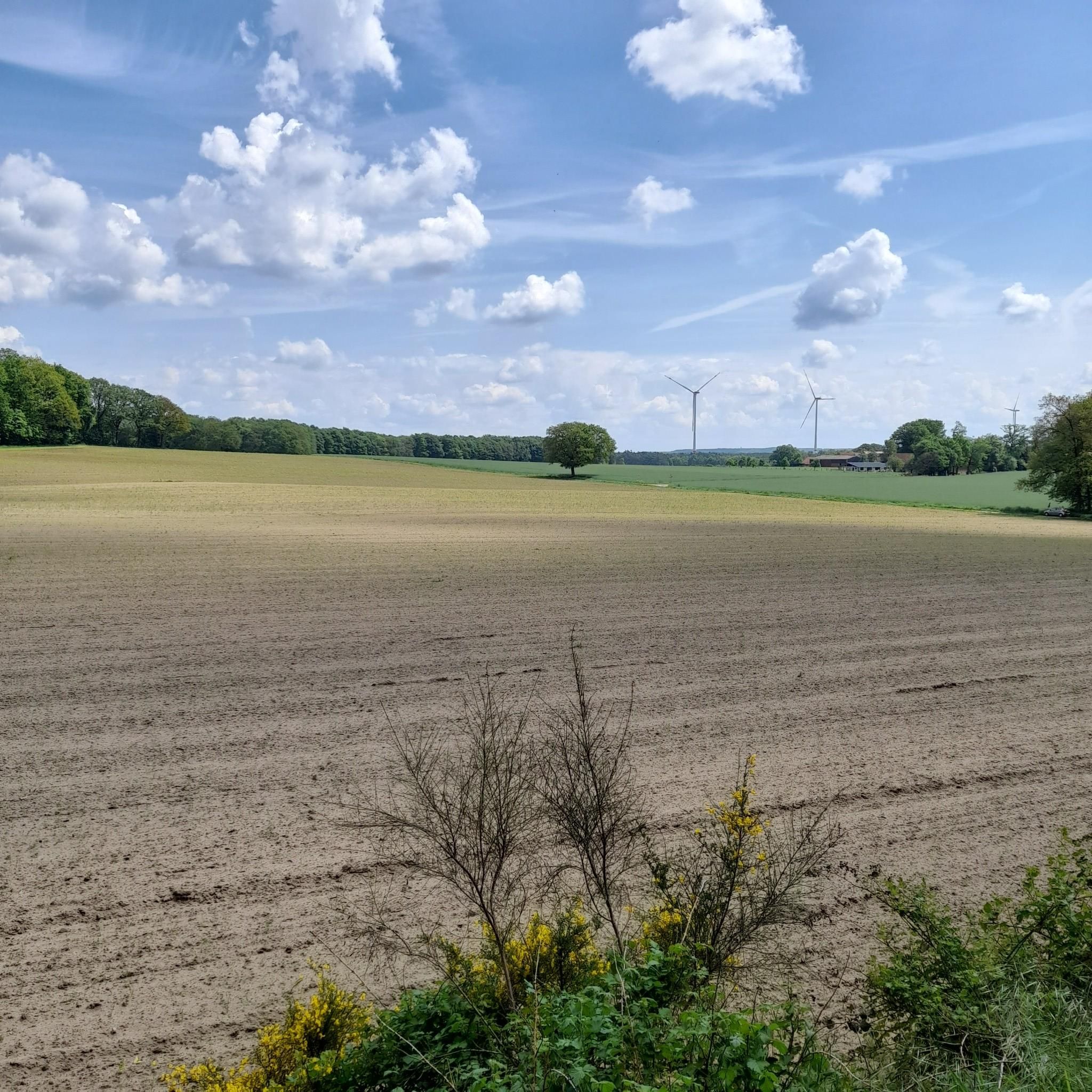
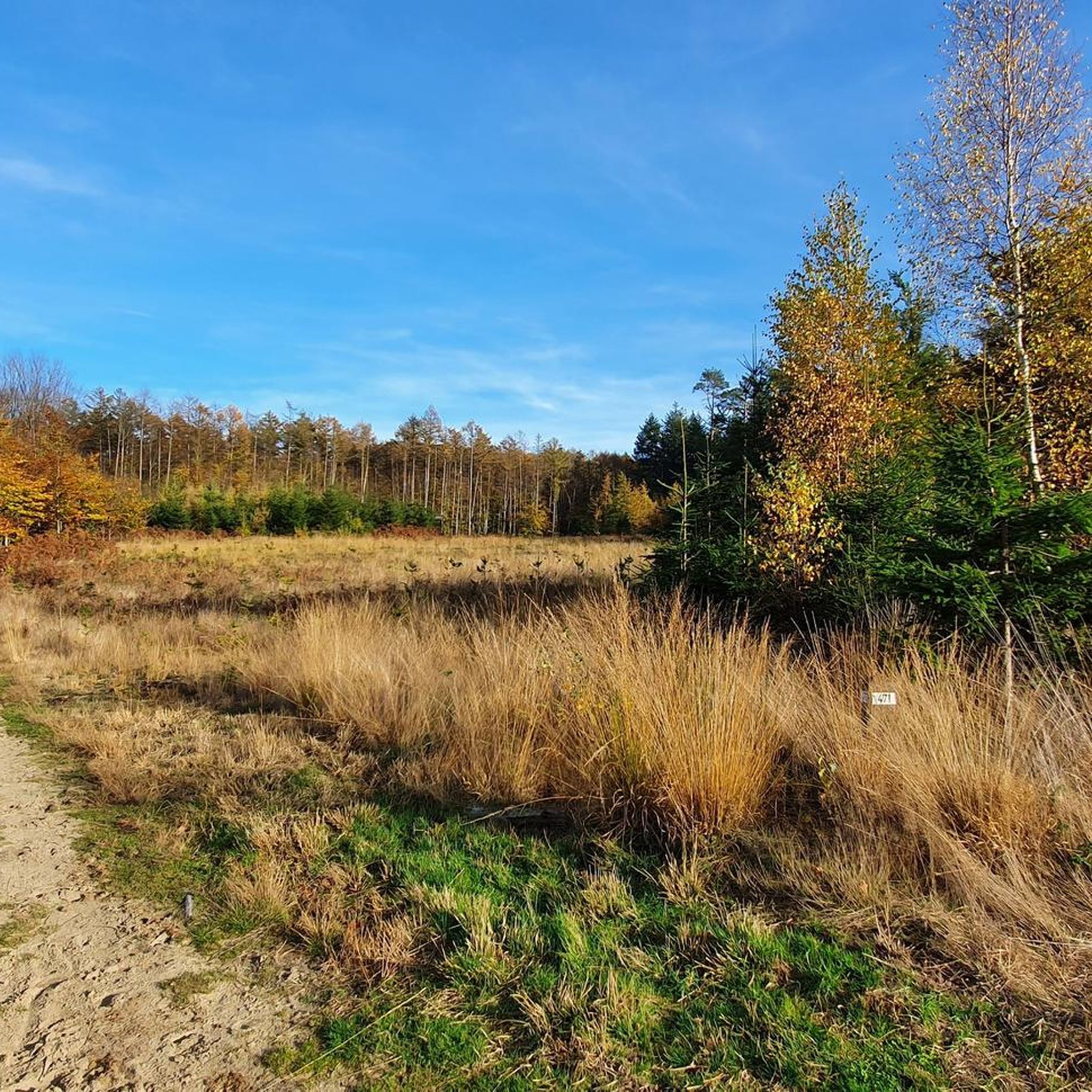
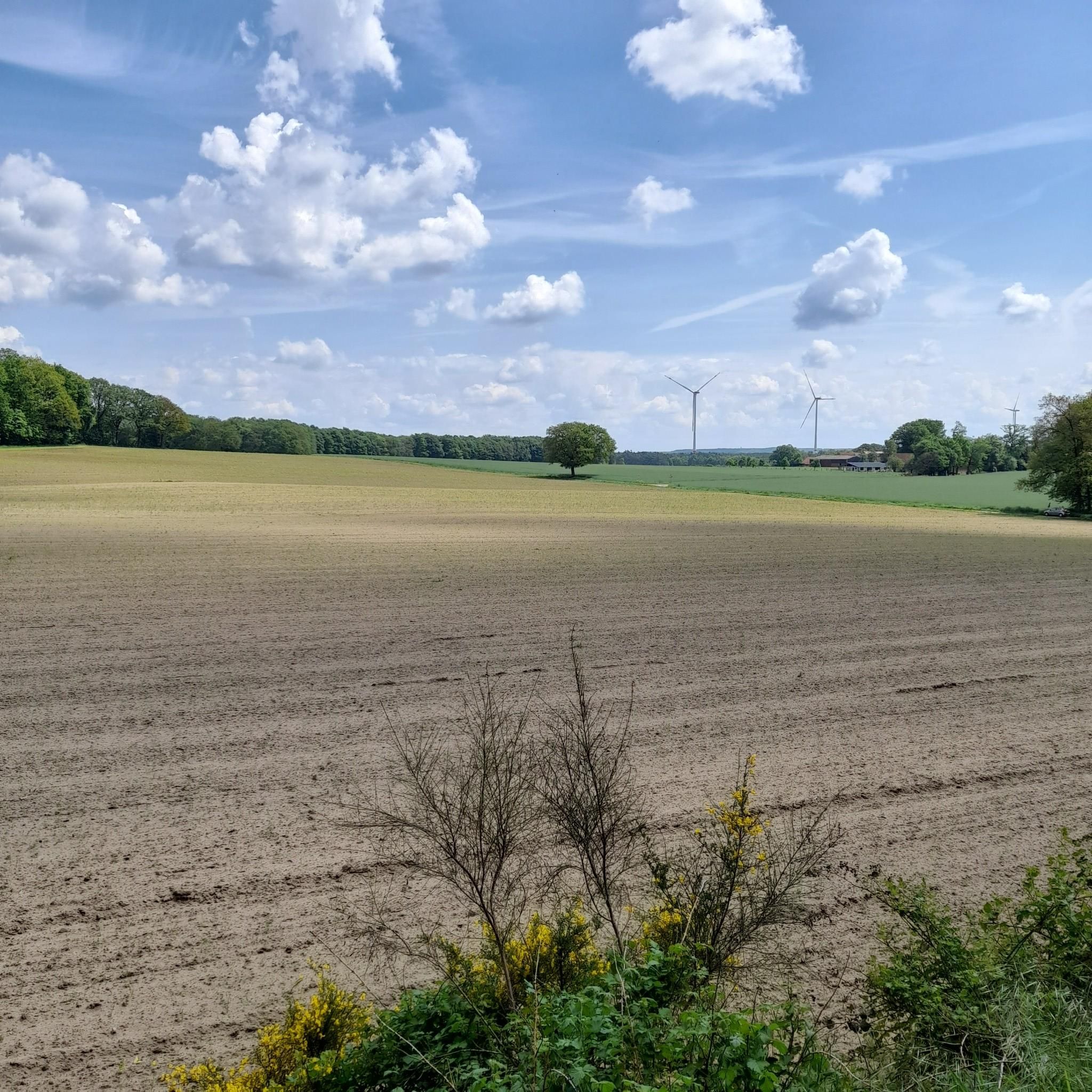
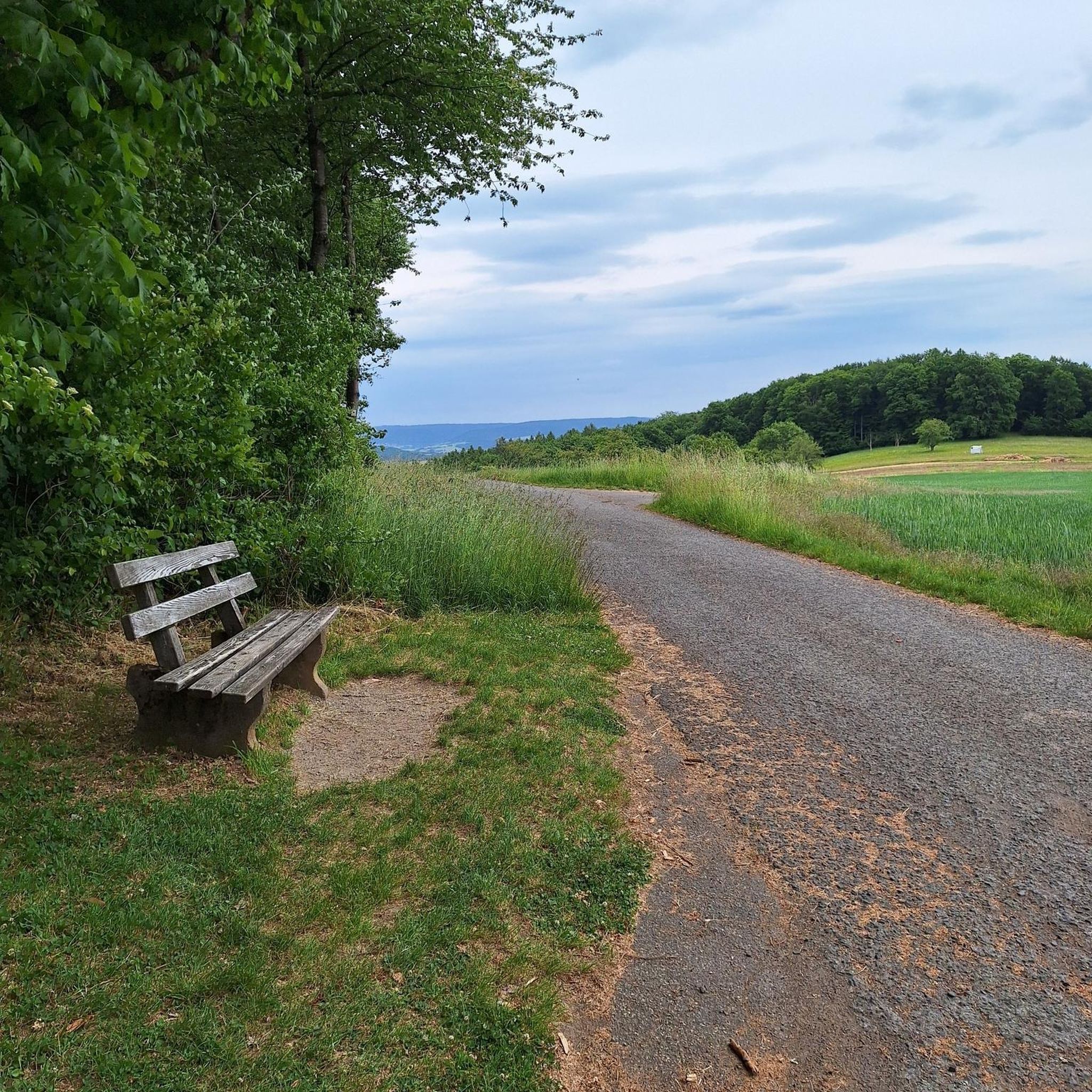
Mountain biking around Hohe Mark offers a diverse landscape characterized by extensive woodlands, varied parkland, and significant water features. The region features hilly forest areas, particularly in the Haard, Borken Mountains, and Dämmerwald, providing varied terrain for mountain bikers. Rivers like the Lippe and Stever, along with reservoirs such as Halterner and Hullerner, contribute to scenic routes. Former quarrying areas in the south have transformed into new natural spaces, adding to the varied topography.
Best mountain bike trails around Hohe…
Last updated: June 26, 2026
4.7
(121)
276
riders
Easy mountain bike ride. Great for any fitness level. Suitable for all skill levels.
5.0
(2)
14
riders
27.4km
01:39
180m
180m
Easy mountain bike ride. Great for any fitness level. Suitable for all skill levels.

Sign up for free
5.0
(2)
12
riders
22.6km
01:16
70m
70m
Easy mountain bike ride. Great for any fitness level. Suitable for all skill levels.
2.5
(2)
7
riders
19.6km
01:39
220m
220m
Moderate mountain bike ride. Great for any fitness level. Advanced riding skills necessary.
4.2
(13)
22
riders
35.0km
02:15
190m
190m
Moderate mountain bike ride. Good fitness required. Advanced riding skills necessary.
Get access to more routes and recommendations from other explorers.
Sign up for free
Already have an account?
Our route recommendations are based on thousands of hikes, rides, and runs completed by other people on komoot.
Start today with a free account
Your next adventure awaits.
Login or Signup
Popular around Hohe Mark
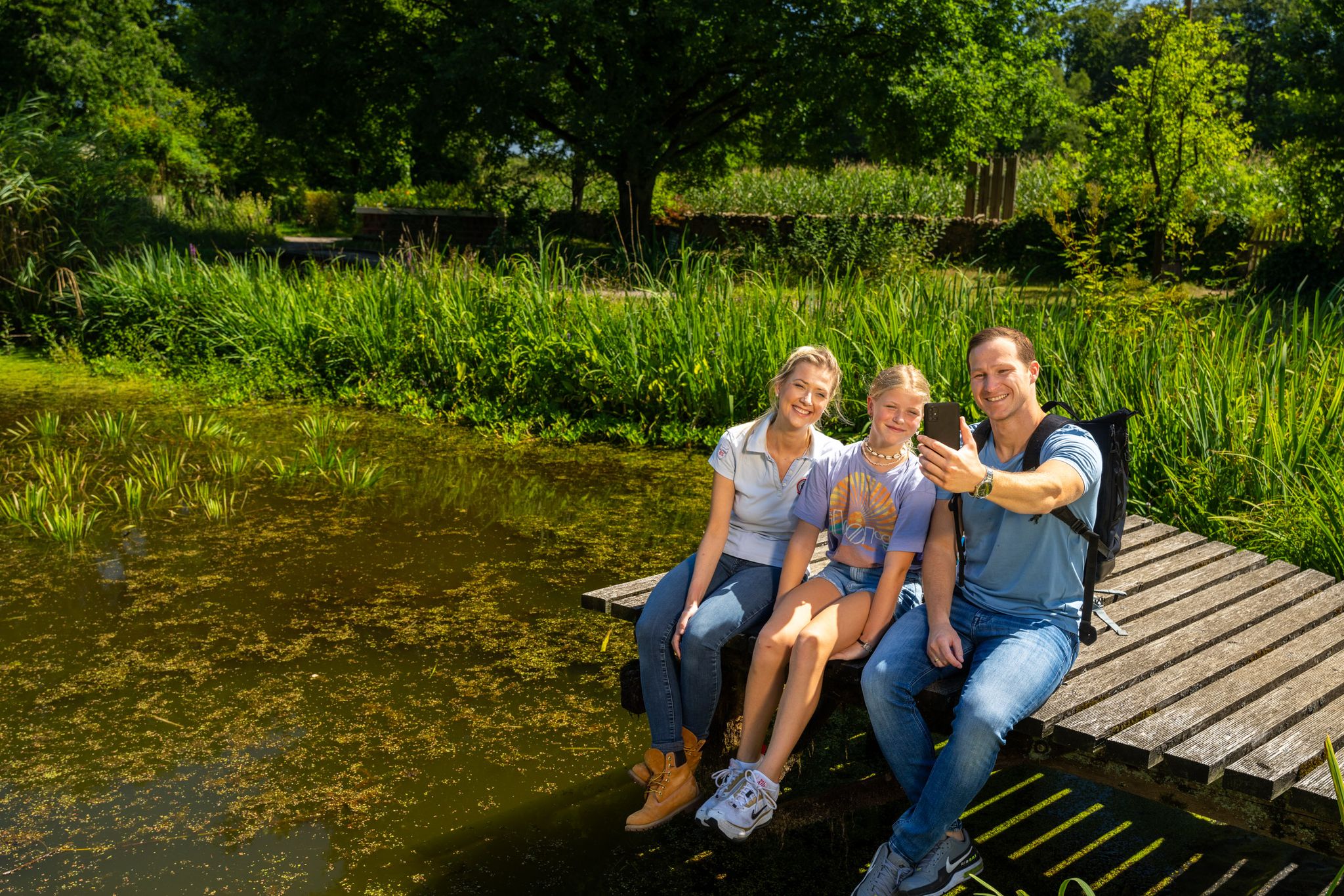
Hiking and discoveries – family walks in the Hohe Mark Nature Park

#GoFurther – discover the views of Germany!
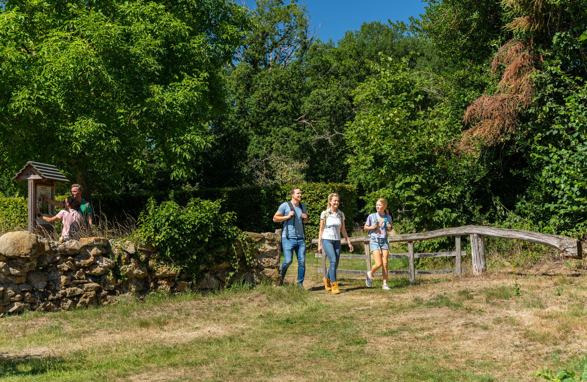
LandStreifer – circular hiking trails to Germany’s Hohe Mark Steig
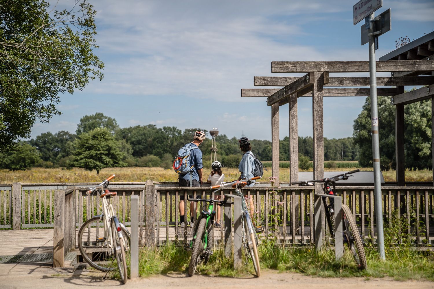
Day Tours on the Hohe Mark cycle route
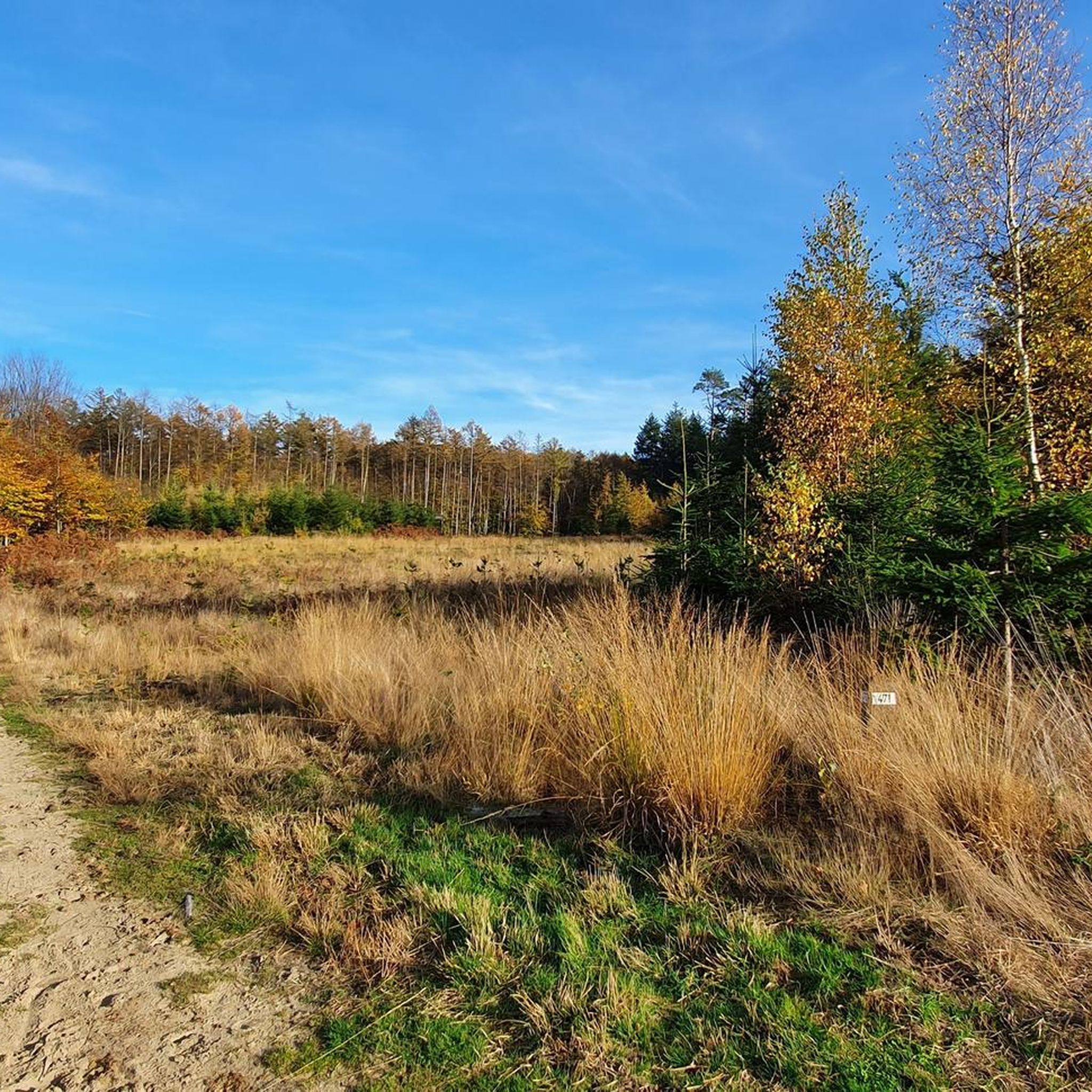
Hiking around Hohe Mark
Road Cycling Routes around Hohe Mark
Cycling around Hohe Mark
Running Trails around Hohe Mark
Gravel biking around Hohe Mark
Other adventures around Hohe Mark


Tips from the Community

Is this the "Krombacher" island from the commercial? It has the vibe!
0
0

The chapel is currently closed for renovation.
0
0

💚 Cycling Highlight: Technology and Nature Conservation The area around the Hullern weir and reservoir is a fascinating place to experience the connection between engineering and nature conservation. The circular route around the lake (approx. 10 km long) offers a particularly tranquil atmosphere 🤫, as water sports and swimming are not permitted here. As a cyclist or walker, you can observe the weir's technical structure while simultaneously admiring the rich birdlife 🦆 (cormorants, great crested grebes, geese) in the protected landscape. The route is part of the Haltern cycling network (e.g., H6) and leads through picturesque forest and lakeside landscapes 🌲.
0
0
🌊 Hullern Reservoir Weir (Hullern Dam) The Hullern weir and dam impound the water of the Stever River 💧, creating the idyllic Hullern Lake. This system serves as an important pre-dam for the larger Haltern Reservoir.
0
0

A fantastic view in good weather. Be careful, there are wild boars roaming around here.
0
0


... a route that can be cycled around a corner with many opportunities for strolling and searching for things...
0
0
... easy-to-ride route around the lake for strolling and looking for a drink...
0
0
Frequently Asked Questions
How many mountain bike trails are available in Hohe Mark?
The Hohe Mark region offers a wide selection of mountain bike trails, with over 760 routes available on komoot. This includes a diverse mix of difficulties, with approximately 240 easy routes, nearly 500 moderate routes, and around 25 more challenging trails.
What kind of terrain can I expect when mountain biking in Hohe Mark?
Hohe Mark features a varied landscape, from extensive woodlands with hilly terrain in areas like the Haard and Borken Mountains to picturesque park landscapes with meadows and fields. You'll also find routes along significant water features like the Lippe and Stever rivers, and around reservoirs such as the Halterner and Hullerner. The terrain can range from well-maintained paths around water bodies to more challenging singletracks and elevation gains in the forest areas.
Are there mountain bike trails suitable for beginners or families in Hohe Mark?
Yes, Hohe Mark has many routes suitable for beginners and families. The region offers numerous easy trails, particularly around the water landscapes and park areas. For example, the Halterner Reservoir – View of the Halterner Stausee loop from Haltern am See is an easy route known for its scenic views and well-maintained paths, perfect for a relaxed family outing.
Can I find challenging mountain bike routes in the Hohe Mark region?
While Hohe Mark offers many accessible routes, there are also more challenging options, especially in the hilly forest areas. The 'Stimberg Trails' in the Haard forest are particularly noted for their pure riding pleasure over numerous singletracks. Overall, komoot lists about 25 difficult mountain bike routes in the region for those seeking more demanding rides.
Are there any circular mountain bike routes in Hohe Mark?
Yes, many mountain bike routes in Hohe Mark are designed as circular loops, allowing you to start and end at the same point. The Weißes Venn – Torfvennteich Birdwatching Hut loop from Haltern am See is a popular example, taking you through a partially peated high moor. Another option is the Old Wesel–Haltern Railway Line – Holtwicker Juniper Heath loop from Holtwick, which offers a moderate circular ride.
What natural attractions or landmarks can I see along the mountain bike trails?
Hohe Mark is rich in natural beauty and historical sites. You can cycle past the picturesque Holtwicker Juniper Heath, especially beautiful during heather bloom, or explore the unique landscape of the White Venn – Geisheide. The region also features numerous castles and moated castles, such as Raesfeld Castle, providing scenic backdrops for your rides. Water bodies like the Halterner Reservoir and various natural and artificial ponds also offer beautiful views.
Is Hohe Mark suitable for mountain biking with dogs?
While many trails in Hohe Mark are generally accessible, it's important to check specific route regulations regarding dogs, especially in nature reserves or areas with sensitive wildlife. Always keep dogs on a leash and be mindful of other trail users and local fauna. The varied landscapes, including forests and open parklands, can be enjoyable for dogs, but ensure they are well-behaved and that you clean up after them.
When is the best time of year to go mountain biking in Hohe Mark?
Hohe Mark is enjoyable for mountain biking throughout much of the year. Spring and autumn offer pleasant temperatures and beautiful scenery, with blooming heather in late summer/early autumn being a highlight in areas like the Westruper Heide. While winter riding is possible, be prepared for potentially muddy conditions, especially in forest areas, and shorter daylight hours. Always check local weather and trail conditions before heading out.
Are there options for parking or public transport access to the trails?
Yes, many trailheads in Hohe Mark, particularly around popular starting points like Haltern am See, offer parking facilities. For public transport, the region is situated at the intersection of Münsterland, the Lower Rhine, and the Ruhr area, providing various access points. It's advisable to research specific starting points for routes to find the most convenient parking or public transport connections.
Can I find places to stop for refreshments or food along the trails?
Yes, Hohe Mark offers various opportunities for refreshment stops. Towns like Haltern am See, a central point within the nature park, have cafes, restaurants, and pubs. Many routes also pass through or near smaller villages where you can find local eateries. The region's cultural attractions, such as castles, often have nearby gastronomic options. Planning your route with komoot can help you identify suitable stops.
What do other mountain bikers say about the trails in Hohe Mark?
The mountain bike trails in Hohe Mark are highly rated by the komoot community, with an average score of 4.5 stars from over 3,200 reviews. More than 12,000 mountain bikers have used komoot to explore the region. Reviewers often praise the diverse terrain, the well-maintained paths, and the scenic beauty of the forests, lakes, and heathlands, making it a popular destination for riders of all levels.
Are there any specific areas known for good mountain biking in Hohe Mark?
The Hohe Mark Nature Park offers several excellent areas for mountain biking. The forests of the Haard, the Borken Mountains, and the Dämmerwald provide varied and sometimes hilly terrain. The areas around the Halterner Reservoir are popular for their well-maintained paths and scenic views. Additionally, the Holtwicker Juniper Heath offers unique landscapes to explore by bike. The park's extensive network of over 1,530 kilometers of bike paths ensures a wide range of options.
What are some longer mountain bike routes in Hohe Mark?
For those looking for longer rides, the Hohe Mark region offers extended routes that traverse its diverse landscapes. While the 280-kilometer Hohe Mark Cycle Route is primarily for touring bikes, many mountain bike routes can be linked or extended for longer excursions. For example, the Holtwicker Juniper Heath – Trail in Naturwildpark Granat loop from Holtwick is a moderate 40.5 km (25.2 miles) route, offering a substantial ride through natural beauty.
Most popular routes around Hohe Mark
Most popular attractions around Hohe Mark

Get inspired with the komoot mobile app


Explore more
Browse the best MTB trails in other regions.
