The best walks and hikes around Bürgerbusch
4.5
(38709)
144,292
hikers
13
hikes
Hiking around Bürgerbusch offers a serene experience within Leverkusen's largest continuous forest area. The region is characterized by extensive forest cover, providing a verdant backdrop for outdoor activities. Several stream systems, including the Bürgerbuschbach, flow through the area, contributing to its natural features. Trails wind through varied terrain, making it suitable for different fitness levels.
Best hiking trails around Bürgerbusch
- The most popular hiking route is Devil's Rock – Köttelbachtal loop from Erlenbruch im Bürgerbusch, a 3.2 miles (5.1…
Last updated: September 29, 2026
3.0
(5)
37
hikers
5.11km
01:19
20m
20m
Easy hike. Great for any fitness level. Easily-accessible paths. Suitable for all skill levels.
4.6
(9)
31
hikers
Easy hike. Great for any fitness level. Easily-accessible paths. Suitable for all skill levels.

5.0
(2)
24
hikers
Easy hike. Great for any fitness level. Easily-accessible paths. Suitable for all skill levels.
5.0
(3)
24
hikers
Easy hike. Great for any fitness level. Easily-accessible paths. Suitable for all skill levels.
3.8
(6)
18
hikers
Moderate hike. Good fitness required. Easily-accessible paths. Suitable for all skill levels.
Get access to more routes and recommendations from other explorers.
Already have an account?
Our route recommendations are based on thousands of hikes, rides, and runs completed by other people on komoot.
Start today with a free account
Your next adventure awaits.

Tips from the Community

This is a stream crossing like in childhood days. Unfortunately, hardly to be found nowadays, because stones can be slippery or icy in certain weather conditions and bridges are preferred.
1
0


The historic spring was destroyed during construction work in 1957. The water now coming out of the tap is pumped up from a different aquifer. It may no longer be as boron-rich as the earlier spring water, which was used to poison those seeking healing over time. When there's enough, it flows at the push of a button between 10:00 a.m. and 5:00 p.m. and 6:00 p.m.
2
0

If you love mud, you've come to the right place....
1
0

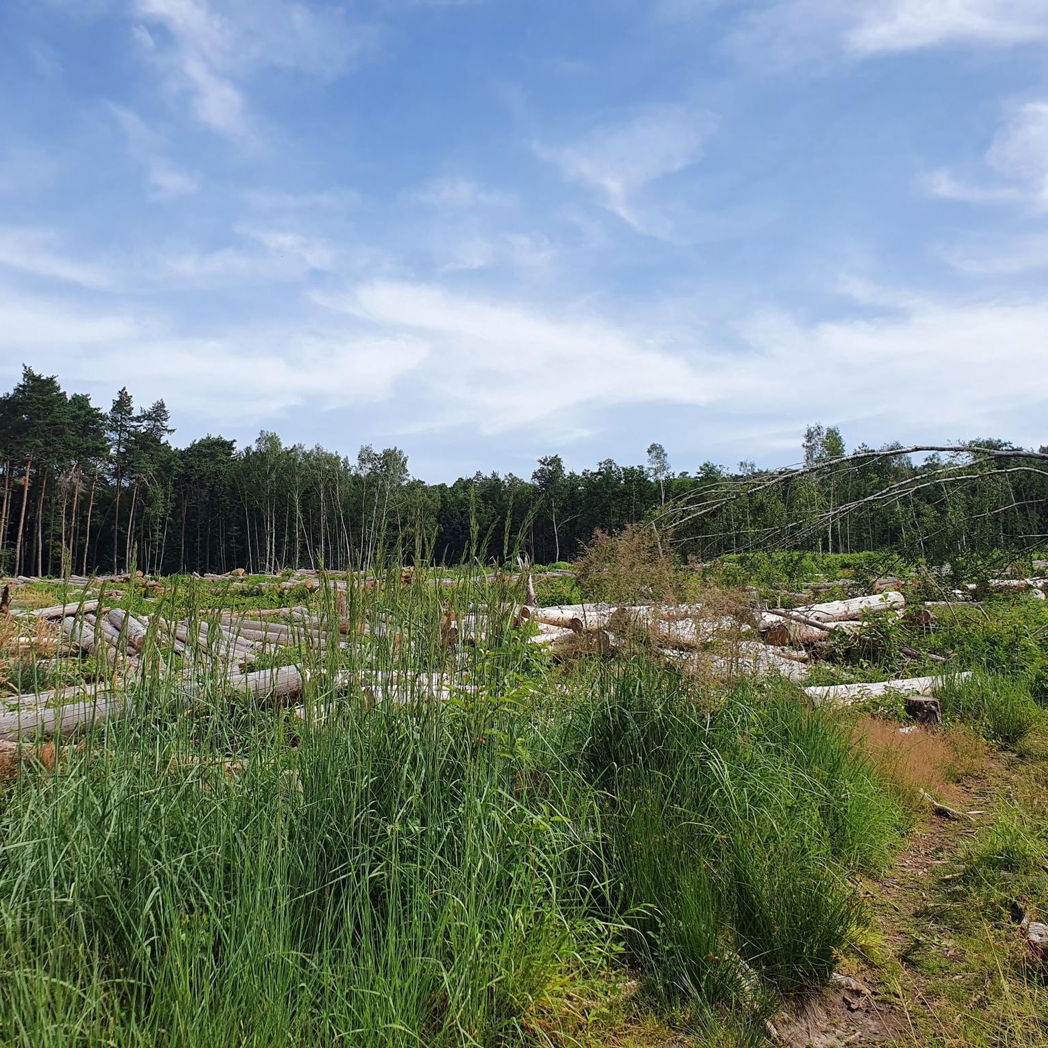
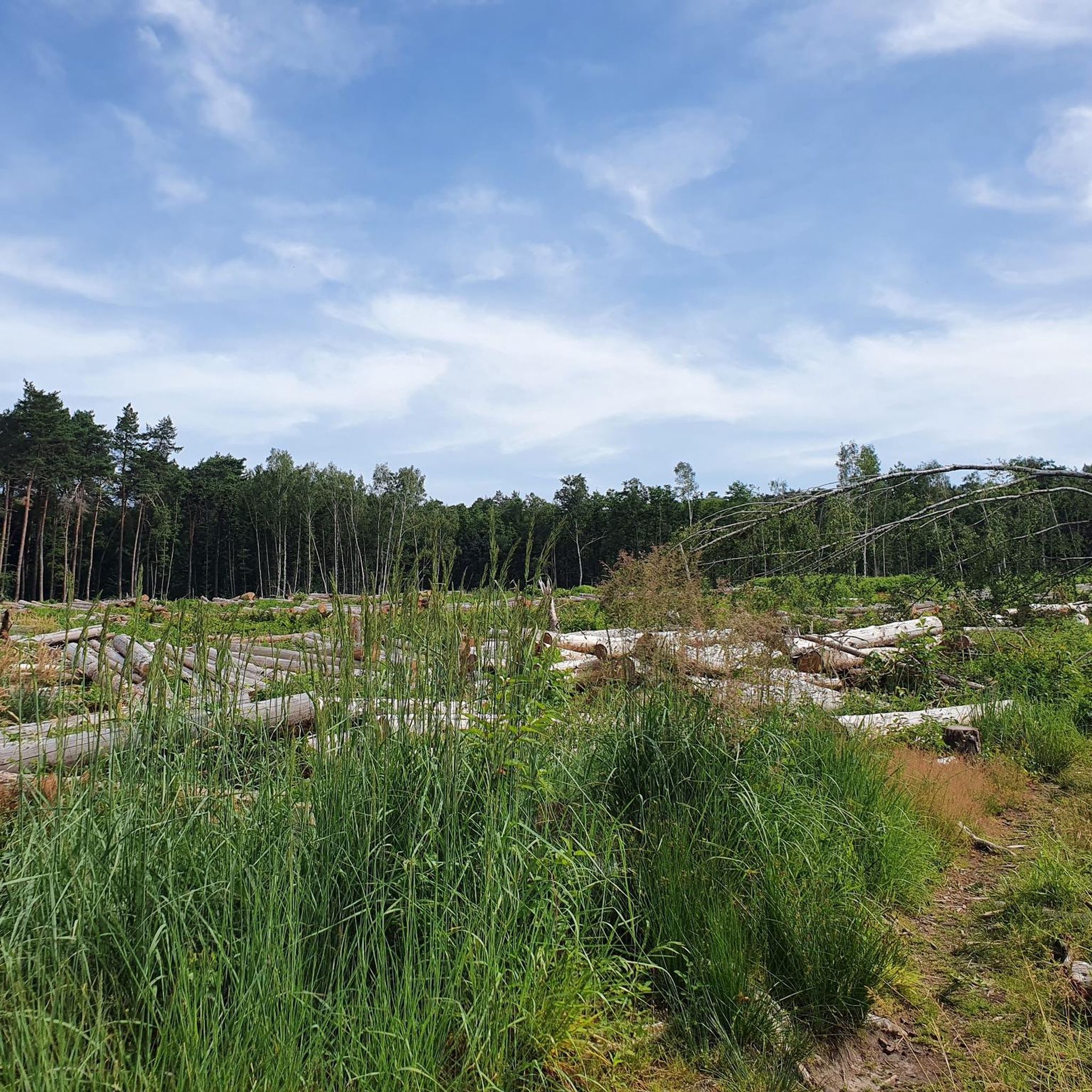
The Bürgerbusch is the largest contiguous forest area in Leverkusen. Several streams flow through the forest. The Bürgerbuschbach rises on the eastern edge of the Bürgerbusch, is four kilometers long and flows into the Dhünn in Leverkusen-Alkenrath.
2
0

Cyclists can cross the Bürgerbusch on a main path and ride from Leverkusen-Quettingen over a motorway bridge to Leverkusen-Schlebusch. This way, the busy main road from Leverkusen-Opladen via Lev-Alkenrath to Lev-Schlebusch is bypassed and shortened.
2
0

wonderful section with a highlight "Teufelstein" 😎✌️
2
0

The Gezelinkapelle is a chapel in the Alkenrath district of Leverkusen, dedicated to the blessed Gezelinus von Schlebusch. Source: https://de.wikipedia.org/wiki/Gezelinkapelle_(Leverkusen-Alkenrath)
1
0
Frequently Asked Questions
What kind of terrain can I expect on the hiking trails in Bürgerbusch?
Bürgerbusch is characterized by extensive forest cover and diverse terrain, ranging from easy, flat paths to routes with gentle elevation changes. Several stream systems, including the Bürgerbuschbach, flow through the area, adding to the natural features you'll encounter.
Are there any easy hiking trails suitable for beginners or families in Bürgerbusch?
Yes, Bürgerbusch offers many easy trails perfect for beginners and families. For instance, the Devil's Rock – Köttelbachtal loop from Erlenbruch im Bürgerbusch is an easy 5.1 km route that explores the Köttelbachtal. Another accessible option is the Bürgerbusch Forest – Köttelbachtal loop from Erlenbruch im Bürgerbusch, a shorter 2.5 km path.
What natural features or landmarks can I see while hiking in Bürgerbusch?
Bürgerbusch is known for its lush forests and tranquil stream systems, such as the Bürgerbuschbach. A notable landmark is the Teufelsstein (Devil's Rock), which you can experience on routes like the Devil's Rock – Köttelbachtal loop from Erlenbruch im Bürgerbusch. You might also encounter the Gezelin Chapel, Alkenrath, or the Bürgerbuschbach Stream itself.
Are there any circular hiking routes available in Bürgerbusch?
Many of the trails in Bürgerbusch are designed as circular routes, allowing you to start and end at the same point. Examples include the Devil's Rock – Köttelbachtal loop from Erlenbruch im Bürgerbusch and the Alkenrath Adventure Climbing Park – Bürgerbuschbach Pond loop from Schlebusch.
What is the best time of year to go hiking in Bürgerbusch?
The best time to visit Bürgerbusch for hiking is during spring and early autumn. During these seasons, the weather is mild, and the greenery is vibrant, offering the most pleasant conditions for exploring the forest and its natural beauty.
How long do hikes in Bürgerbusch typically take?
Hikes in Bürgerbusch vary in length and duration. Many easy routes, like the Köttelbachtal – Bürgerbusch Forest loop from Erlenbruch im Bürgerbusch (2.3 km), can be completed in under an hour. Longer, moderate trails, such as the Bürgerbuschbach Stream – Gezelin Chapel, Alkenrath loop from Schlebusch (9.6 km), might take around two hours or more.
Is Bürgerbusch suitable for dog-friendly hikes?
Yes, Bürgerbusch is generally suitable for dog-friendly hikes. The extensive forest and varied trails provide ample space for walks with your dog. However, always ensure your dog is under control, especially given the presence of wildlife, and adhere to any local regulations regarding leashing.
What do other hikers enjoy most about hiking in Bürgerbusch?
The komoot community highly rates Bürgerbusch, with an average score of 4.5 stars from over 31,000 reviews. Hikers often praise the tranquil trails, the lush greenery of the forest, and the serene stream systems, making it a peaceful escape for outdoor activities.
Are there any challenging hiking routes in Bürgerbusch?
While Bürgerbusch is known for its many easy trails, there are also moderate options for those seeking a bit more challenge. For example, the Bürgerbuschbach Stream – Gezelin Chapel, Alkenrath loop from Schlebusch is a moderate 9.6 km hike with some elevation changes, requiring a good level of fitness.
How many hiking trails are available in Bürgerbusch?
There are over 10 hiking trails available in Bürgerbusch, catering to various preferences and fitness levels. The majority of these, around 10, are considered easy, with a few moderate options for more experienced hikers.
Is there public transport access to Bürgerbusch for hikers?
Yes, Bürgerbusch is accessible via public transport in Leverkusen. Specific bus routes serve the areas surrounding the forest, allowing hikers to reach various starting points for the trails. It's advisable to check local public transport schedules for the most current information on routes and stops.
Are there parking facilities available for hikers at Bürgerbusch?
Yes, there are parking facilities available near the access points to Bürgerbusch, particularly in areas like Erlenbruch im Bürgerbusch and Schlebusch, which serve as common starting points for many trails. These parking areas make it convenient for hikers arriving by car.
Most popular routes around Bürgerbusch
Most popular attractions around Bürgerbusch

Get inspired with the komoot mobile app


