The best MTB trails around Gehrdener Berg
4.7
(1490)
4,600
riders
291
rides
Mountain biking around Gehrdener Berg offers a network of trails through forested hills within the Region Hannover. The area is characterized by its rolling terrain, providing a mix of ascents and descents. These routes navigate through woodlands and open areas, with the highest point, Burgberg, reaching 155 meters above sea level. The landscape features numerous paths that cater to different skill levels, from forest tracks to singletrack sections.
Best mountain bike trails around Gehrdener Berg
- The most popular mountain bike…
Last updated: July 4, 2026
5.0
(4)
24
riders
12.6km
01:05
190m
190m
Easy mountain bike ride. Great for any fitness level. Suitable for all skill levels.
4.8
(33)
113
riders
49.4km
03:32
710m
710m
Moderate mountain bike ride. Good fitness required. Suitable for all skill levels.

Sign up for free
4.5
(4)
21
riders
40.9km
03:15
810m
810m
Moderate mountain bike ride. Good fitness required. Advanced riding skills necessary.
4.3
(4)
9
riders
42.3km
03:05
620m
620m
Hard mountain bike ride. Good fitness required. Advanced riding skills necessary. Some portions of the route may require you to push your bike.
5.0
(1)
9
riders
38.9km
02:51
640m
640m
Moderate mountain bike ride. Good fitness required. Suitable for all skill levels.
Get access to more routes and recommendations from other explorers.
Sign up for free
Already have an account?
Our route recommendations are based on thousands of hikes, rides, and runs completed by other people on komoot.
Start today with a free account
Your next adventure awaits.
Login or Signup

Tips from the Community

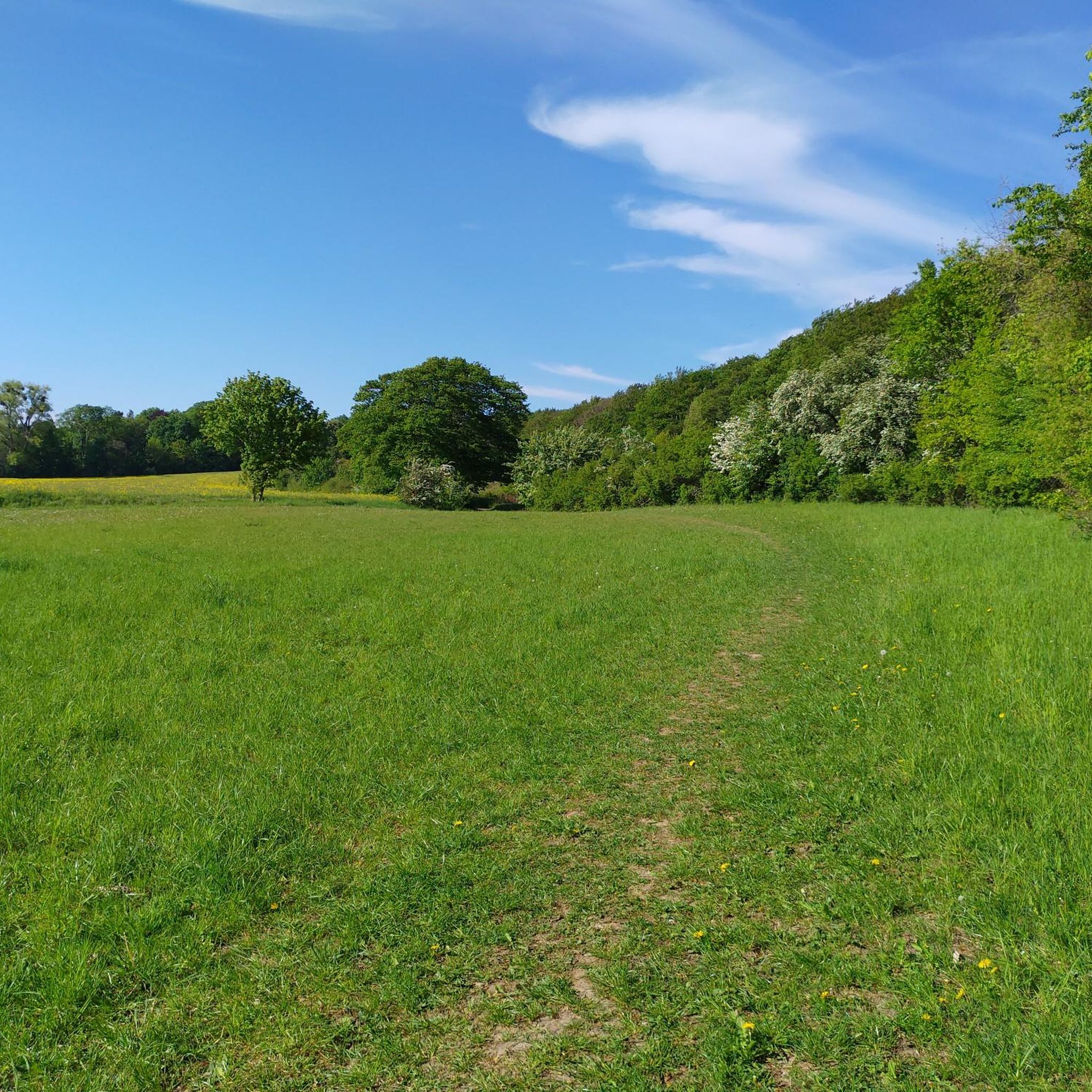
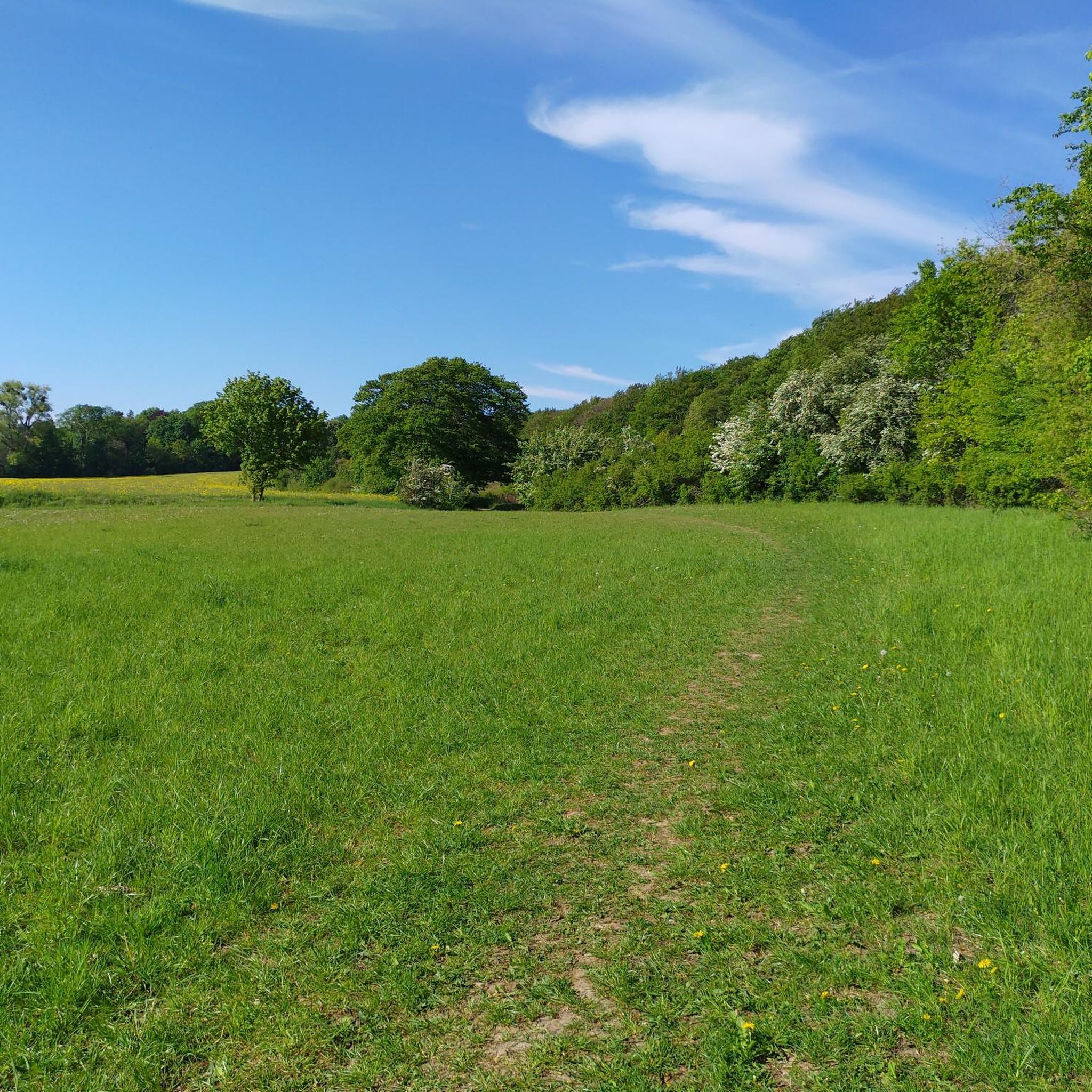
Wide path along the edge of the forest with beautiful views.
0
0

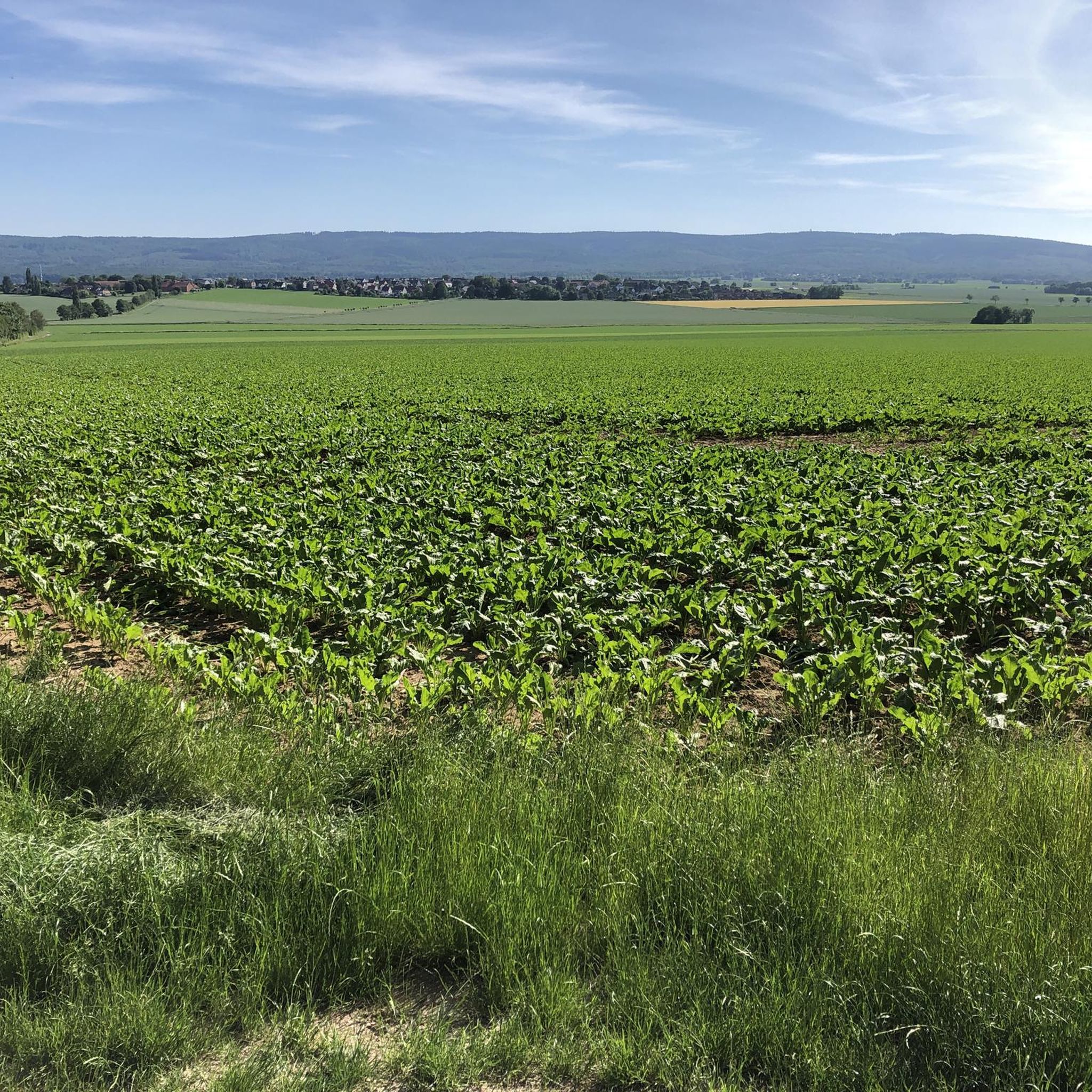
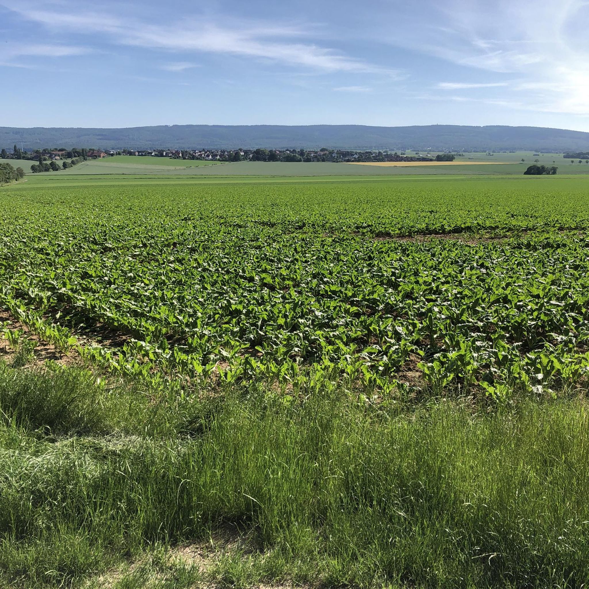
View of the valley between Deister and Süntel to the north up to the Bückebergen, right to the east onto the southwestern Deister.
0
0

On a snowshoe hike, the Wallmannhütte in the Deister hills becomes a quiet, almost magical place. Surrounded by snow-covered forest, it offers a welcome break where you can pause for a moment and enjoy the winter tranquility.
1
0

Simply amazing, I thoroughly enjoyed this section as well.
0
0

The path there is, however, quite overgrown.
1
0
On the tower, which is 28 m high, visitors are at 433 m above sea level and have a magnificent panoramic view over the Calenberger Land as far as Hanover, the Steinhuder Meer, the Brocken in the Harz Mountains and also the Weserbergland.
1
0

Nice flowy and easy in the middle part
0
1
If a storm blows from the right direction, you'll be pushed back up the pass road after the descent. That was nice today😄😄😄
0
0
Frequently Asked Questions
How many mountain bike trails are available around Gehrdener Berg?
There are over 300 mountain bike trails around Gehrdener Berg, offering a wide range of options for different skill levels. This includes 79 easy, 188 moderate, and 42 difficult routes.
Are there easy mountain bike trails suitable for beginners around Gehrdener Berg?
Yes, Gehrdener Berg offers 79 easy mountain bike trails. A good option for beginners is the View of the Deister – View of the Deister loop from Gehrden, which is 7.8 miles (12.6 km) long and features pleasant forest sections.
Where can I find more challenging mountain bike routes in Gehrdener Berg?
For advanced riders, there are 42 difficult mountain bike routes. Consider the Wennigsen Monastery – Bench with valley view ¤ loop from Lemmie, a demanding 27 miles (43.5 km) trail with significant elevation changes.
Are there any family-friendly mountain bike trails in the Gehrdener Berg area?
Many of the 79 easy trails around Gehrdener Berg are suitable for families. These routes typically follow wider forest paths with gentle gradients, making them enjoyable for riders of varying ages and abilities. Look for trails with shorter distances and less technical terrain.
Are there mountain bike trails that form a loop around Gehrdener Berg?
Yes, many mountain bike trails in Gehrdener Berg are designed as loops. For example, the Bielstein Hut (Deister) – View of the Calenberger Land loop from Lemmie is a 25.4 miles (40.9 km) loop that takes you through dense woodlands and offers expansive views.
What kind of views or landmarks can I expect along the mountain bike routes?
The trails often provide scenic viewpoints such as the View of the Deister from Gehrdener Berg. You might also encounter historical sites like the Old von Reden Cemetery Ruins or the Burgbergturm Gehrden.
What do other mountain bikers enjoy the most about mountain biking in Gehrdener Berg?
The area is highly rated by the komoot community, with an average score of 4.7 stars from over 1,200 reviews. Reviewers often praise the diverse network of trails, the rolling terrain offering a mix of ascents and descents, and the scenic forested hills.
Is there parking available near the mountain bike trailheads in Gehrdener Berg?
Yes, various parking options are available in and around Gehrden and nearby villages like Lemmie, which serve as common starting points for many routes. Specific parking details can often be found on individual route pages on komoot.
What is the best time of year for mountain biking in Gehrdener Berg?
The best time for mountain biking in Gehrdener Berg is generally from spring through autumn (April to October), when the weather is mild and the trails are dry. During these months, the forested paths are particularly enjoyable.
Are there any cafes or places to eat near the mountain bike trails?
Yes, you can find places to eat near the trails. For instance, the Lower Saxony Mountain Inn is one option that riders might encounter or find nearby for refreshments.
What are the typical trail conditions like during winter in Gehrdener Berg?
During winter, trails in Gehrdener Berg can be wet, muddy, or even icy, especially after snowfall or heavy rain. While some routes may still be rideable, conditions can be challenging, and appropriate gear is recommended. Always check local weather forecasts before heading out.
What should I wear for mountain biking in Gehrdener Berg?
Given the varied terrain and potential for changing weather, it's advisable to wear layers that can be adjusted. Essential gear includes a helmet, appropriate cycling clothing, gloves, and sturdy mountain biking shoes. Carrying water, snacks, and basic repair tools is also recommended.
Most popular routes around Gehrdener Berg
Most popular attractions around Gehrdener Berg

Get inspired with the komoot mobile app


Explore more
Browse the best MTB trails in other regions.
