The best walks and hikes around Worthlah
4.6
(3060)
10,397
hikers
511
hikes
Hiking trails around Worthlah, located in Salzgitter, Lower Saxony, Germany, traverse forested areas and open pastures. The region features a network of paths suitable for various fitness levels, often incorporating local ponds and river sections. While specific prominent natural landmarks are limited, the landscape provides accessible outdoor opportunities.
Best hiking trails around Worthlah
- The most popular hiking route is Gutspark Wolfenbüttel – Dreierteich Pond loop from Ohlendorf, a 5.7 miles (9.1 km) trail that takes 2 hours 18 minutes…
Last updated: July 1, 2026
3.0
(1)
8
hikers
8.89km
02:16
20m
20m
Moderate hike. Good fitness required. Easily-accessible paths. Suitable for all skill levels.
3.0
(1)
6
hikers
Easy hike. Great for any fitness level. Easily-accessible paths. Suitable for all skill levels.

Sign up for free
11
hikers
2.41km
00:37
10m
10m
Easy hike. Great for any fitness level. Easily-accessible paths. Suitable for all skill levels.
6
hikers
1.62km
00:25
10m
10m
Easy hike. Great for any fitness level. Easily-accessible paths. Suitable for all skill levels.
4
hikers
6.04km
01:33
20m
20m
Easy hike. Great for any fitness level. Easily-accessible paths. Suitable for all skill levels.
Get access to more routes and recommendations from other explorers.
Sign up for free
Already have an account?
Our route recommendations are based on thousands of hikes, rides, and runs completed by other people on komoot.
Start today with a free account
Your next adventure awaits.
Login or Signup
Tips from the Community

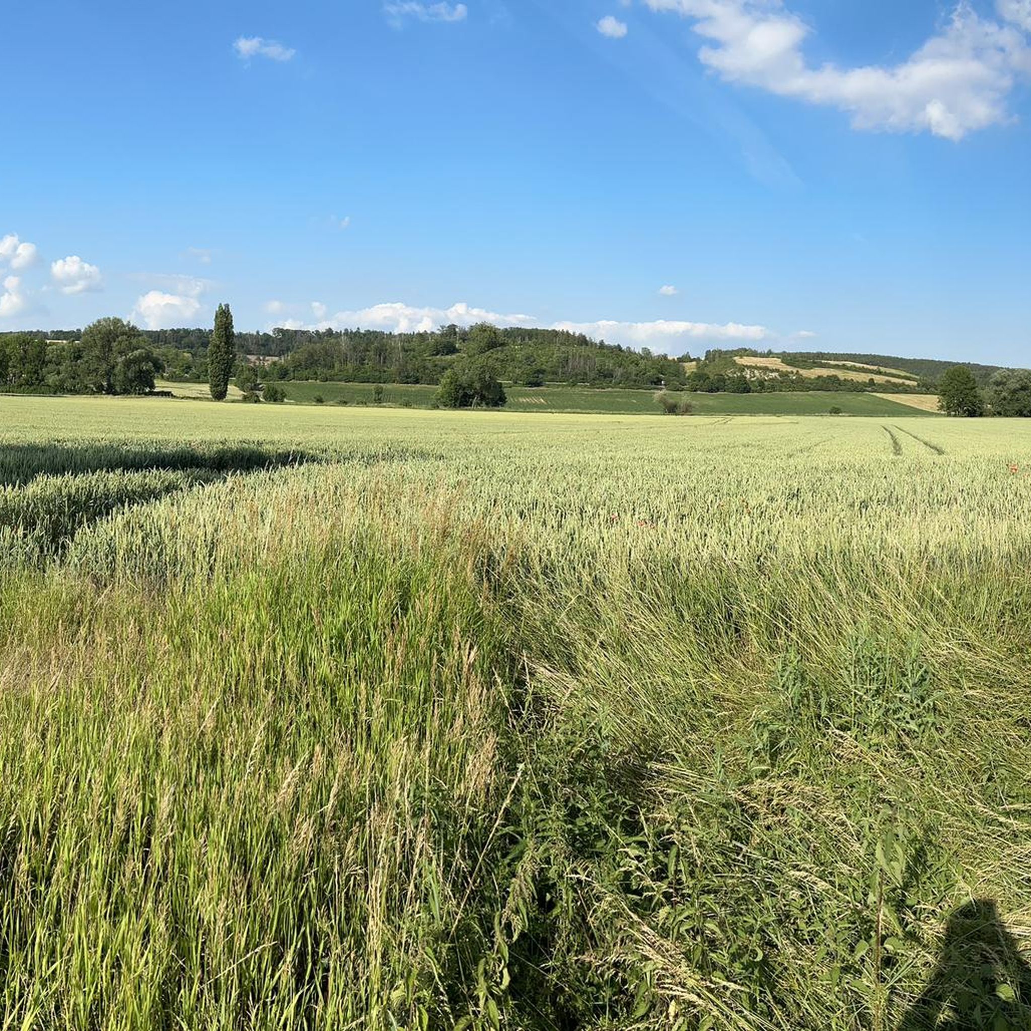
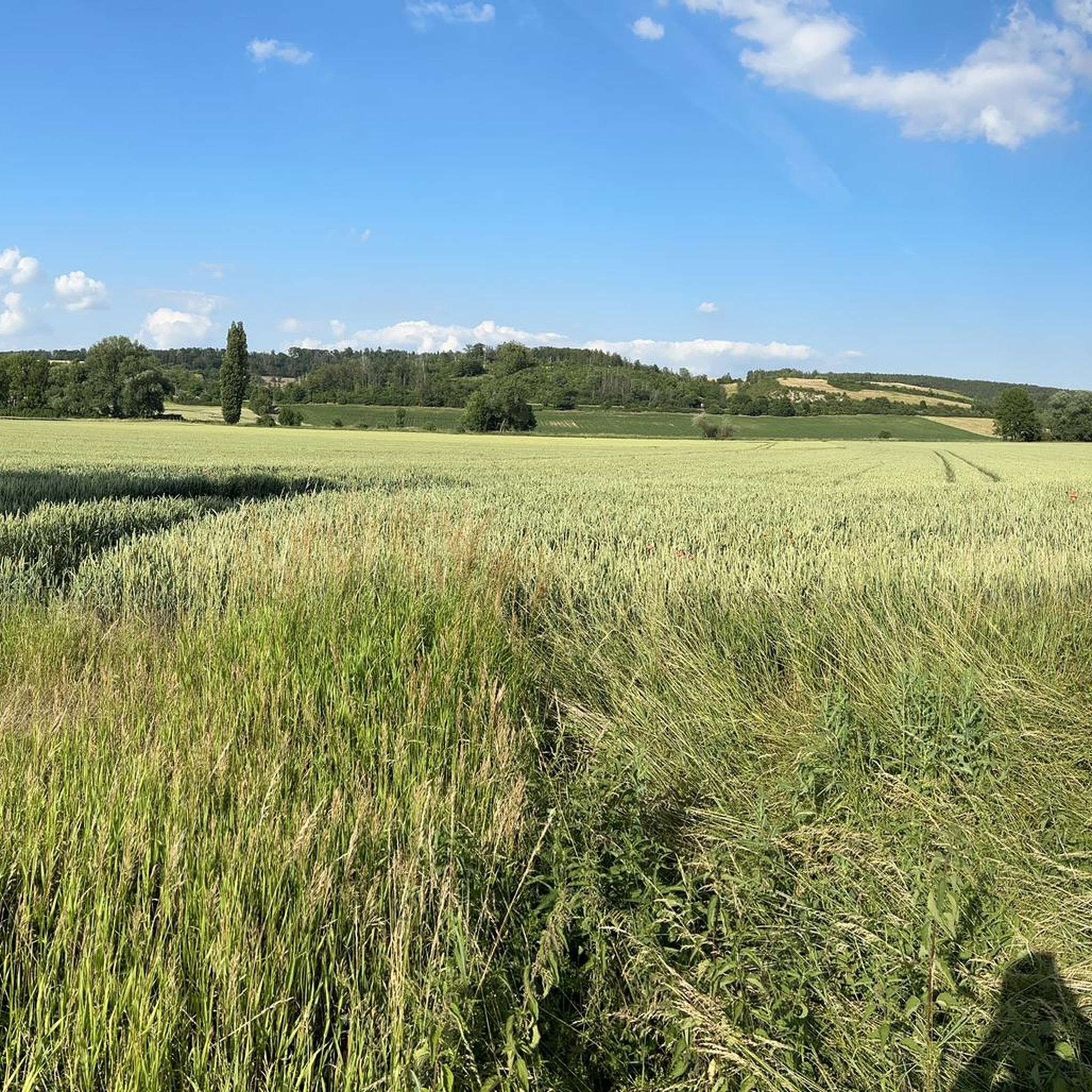
The Brocken can also be seen quite well from here in the distance.
0
0

War graves memorial with chic church
0
2

The former iron ore mine was closed on May 1, 1966. The headframes were demolished in 1969. Numerous vehicles and various tram cars are left to their fate on the site.
3
0
simple bench at the edge of the forest
1
0

Small pond with water lilies, behind the church.
2
0

Memorial stone for Wilhelm Waßmuß, born in Ohlendorf in 1880, who was consul of the German Empire in Persia.
2
0
The church was built on older foundations in the first half of the 18th century. The ball and weathervane of the church tower are from 1774.
5
1
Frequently Asked Questions
How many hiking trails are available around Worthlah?
Worthlah offers a wide selection of hiking opportunities, with over 500 routes available. These trails traverse forested areas and open pastures, providing diverse options for outdoor enthusiasts.
Are there easy hiking routes suitable for beginners or families in Worthlah?
Yes, Worthlah has many easy routes perfect for beginners or families. Over 300 of the available trails are rated as easy. An example is the Dreierteich Pond – Evangelical Church of Schladen loop from Flachstöckheim, which is an easy 4.0 miles (6.5 km) path offering views of the pond and passing by the Evangelical Church.
Can I find circular hiking routes in the Worthlah area?
Many of the hiking trails around Worthlah are designed as circular routes, allowing you to start and end at the same point. For instance, the Gutspark Wolfenbüttel – Dreierteich Pond loop from Ohlendorf is a popular moderate circular trail that takes you around a pond and through parkland.
What kind of landscapes can I expect to see while hiking in Worthlah?
The Worthlah region is characterized by a mix of forested paths and open pastureland. Many routes also feature local ponds and sections alongside rivers, offering a varied and pleasant natural experience.
Are there any specific landmarks or points of interest along the hiking trails?
While the region is primarily known for its natural landscapes, some trails pass by local points of interest. For example, the Dreierteich Pond – Evangelical Church of Schladen loop from Flachstöckheim includes a view of the Evangelical Church. Historically, the area is also known for the former iron ore mine, Grube Worthlah-Ohlendorf, which ceased operations in 1966.
What do other hikers say about the trails in Worthlah?
The hiking routes in Worthlah are highly regarded by the komoot community, with an average rating of 4.6 stars from over 2,800 reviews. Hikers often praise the well-maintained paths and the peaceful natural surroundings.
Are there any trails that follow rivers or pass by water features?
Yes, several trails in Worthlah incorporate water features. The Trail Along the Nordbach – Blue Lagoon, Oderwald loop from Klein Flöthe leads through forested areas and directly along the Nordbach, offering scenic views of the river.
What is the best time of year to go hiking in Worthlah?
Worthlah's trails are generally accessible throughout the year. Spring and autumn offer pleasant temperatures and vibrant scenery, while summer provides longer daylight hours. Winter hikes are also possible, though conditions may vary.
Are there any moderate hiking options for those looking for a bit more challenge?
Absolutely. Worthlah features 178 moderate trails for hikers seeking a slightly more challenging experience. The Gutspark Wolfenbüttel – Dreierteich Pond loop from Ohlendorf is a popular moderate route, covering 5.7 miles (9.1 km) with some gentle elevation changes.
Are the trails in Worthlah well-marked?
Komoot users frequently highlight the clear signage and well-defined paths across Worthlah's hiking network, making navigation straightforward for most routes.
What are some other easy routes to explore in Worthlah?
Beyond the popular options, you can also enjoy the Trail Along the Nordbach loop from Flachstöckheim, an easy 6.0 km route, or the Evangelical Church of Schladen – Dreierteich Pond loop from Flachstöckheim, which is 5.2 km and also rated easy.
Most popular routes around Worthlah

Get inspired with the komoot mobile app


Explore more
Browse the best Hikes in other regions.
