The best running trails around Hils
4.5
(446)
2,683
runners
348
runs
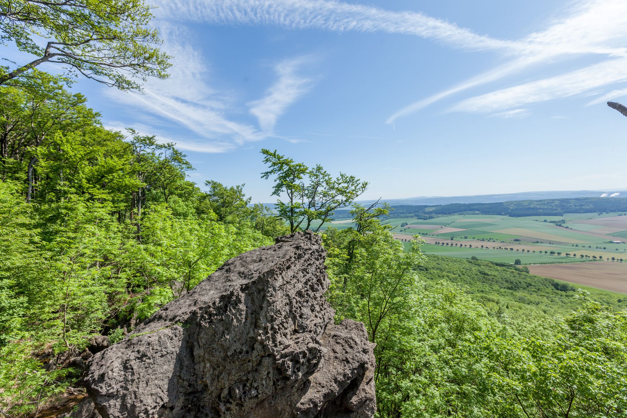
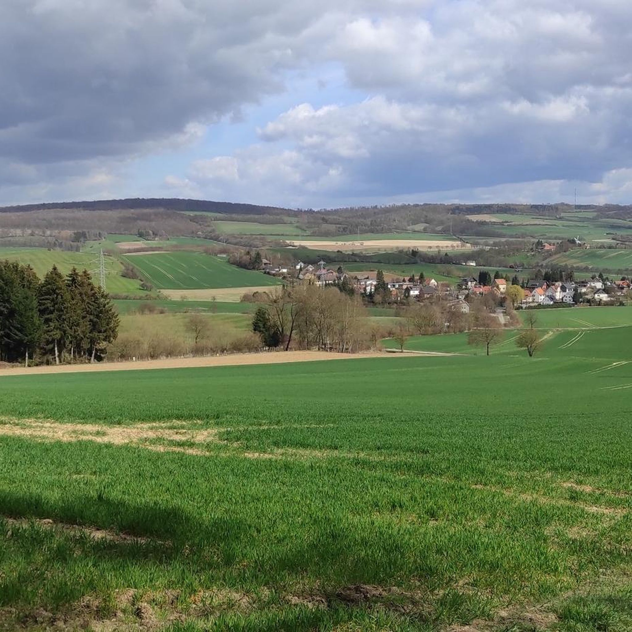
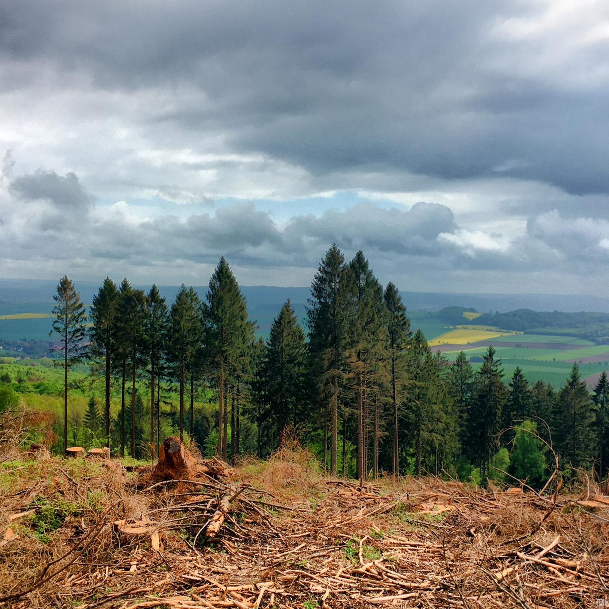
Jogging around Hils offers routes through a landscape characterized by varied terrain, including rolling hills and dense forests. The region features elevations that provide both challenging climbs and scenic viewpoints. These physical features create diverse running experiences for different skill levels. The trails often lead through natural areas with established forest paths.
Best jogging routes around Hils
- The most popular jogging route is 12.5 Loop – Sommer Hotel loop from Amphibienbiotope Hohenbüchen, a 5.5 miles (8.8 km) trail that…
Last updated: October 11, 2026
23
runners
8.77km
00:58
150m
150m
Moderate run. Good fitness required. Mostly paved surfaces. Suitable for all skill levels.
4.8
(6)
19
runners
7.53km
00:50
120m
120m
Moderate run. Good fitness required. Mostly paved surfaces. Suitable for all skill levels.

6
runners
Hard run. Very good fitness required. Mostly paved surfaces. Suitable for all skill levels.
5.0
(1)
5
runners
Hard run. Very good fitness required. Mostly paved surfaces. Suitable for all skill levels.
6
runners
10.1km
01:06
170m
170m
Moderate run. Good fitness required. Mostly paved surfaces. Suitable for all skill levels.
Get access to more routes and recommendations from other explorers.
Already have an account?
Our route recommendations are based on thousands of hikes, rides, and runs completed by other people on komoot.
Start today with a free account
Your next adventure awaits.


Tips from the Community

The Roter Fuchs hiking parking lot is located on the pass at the road between Holzen and Grünenplan. From here, many destinations in the Hils can be reached.
6
0
The 480 m high Bloße Zelle is the highest point of the Hils. An interesting place, but without a view due to afforestation.
8
0
This lion sculpture is definitely remarkable. You can find more works of this kind in the town.
8
0
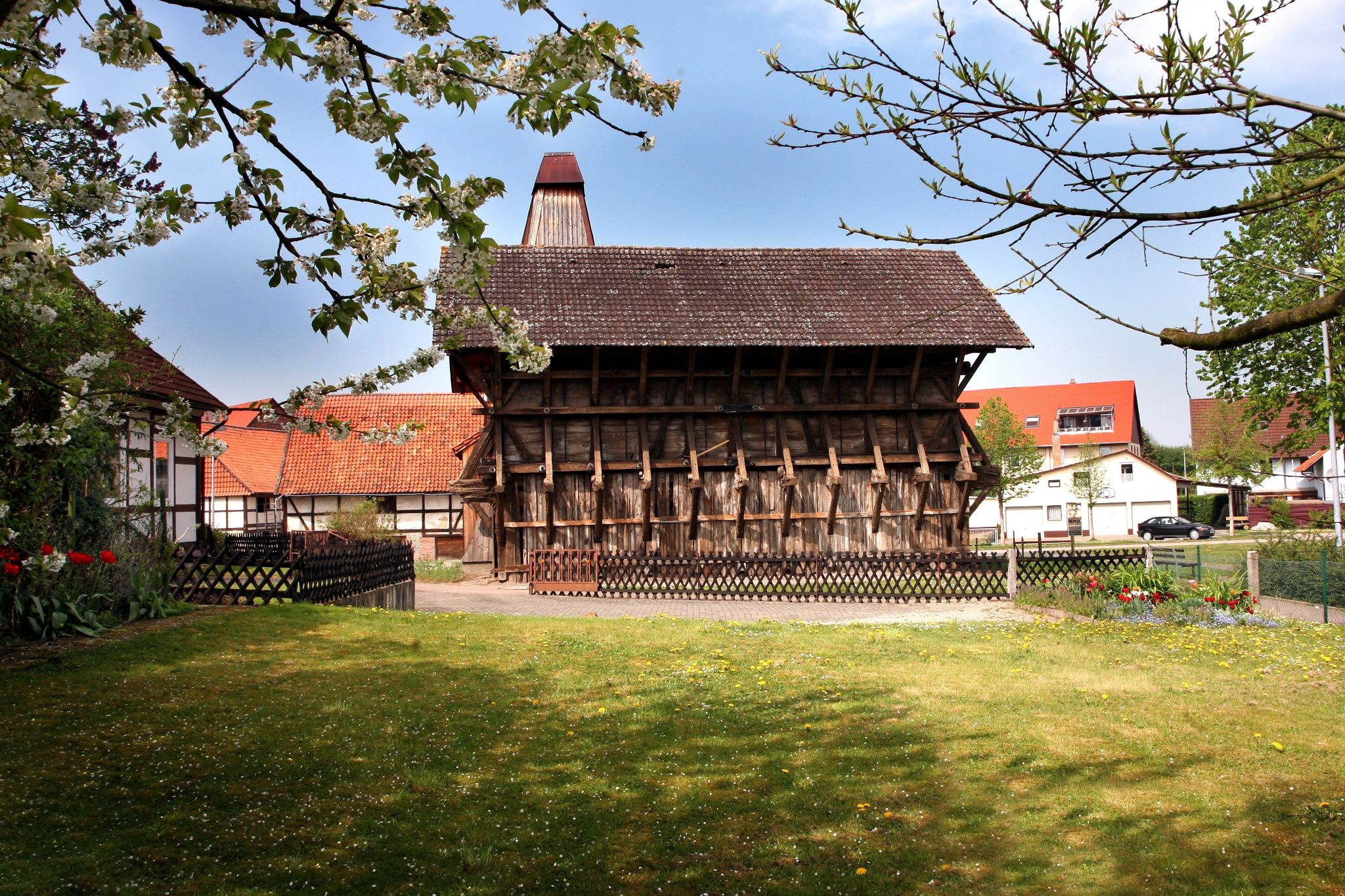
In the center of Grünenplan stands the interesting Glasmacher-Sippenbaum as a modern landmark.
9
0

Even in winter, it's easy to park here and start a hike.
0
0

A good starting point for a run in the Hils. The Kammweg trail runs right past here, and it's only a few hundred meters uphill to the Wilhelm Raabe Tower. The parking lot also offers connections to other destinations in the Hils via the Tanzbergweg, Von Langen Weg, and Promilleweg on the other side of the road. The parking lot has several information boards, a hiking map, and a rest area.
3
0
It's inconspicuous, the highest point of the hill, but richly "decorated" with its chic stone marker, benches, and geodetic point. Unfortunately, there's no view from here, but the path to the Wilhelm Raabe Tower on the Große Sohle isn't far.
2
0

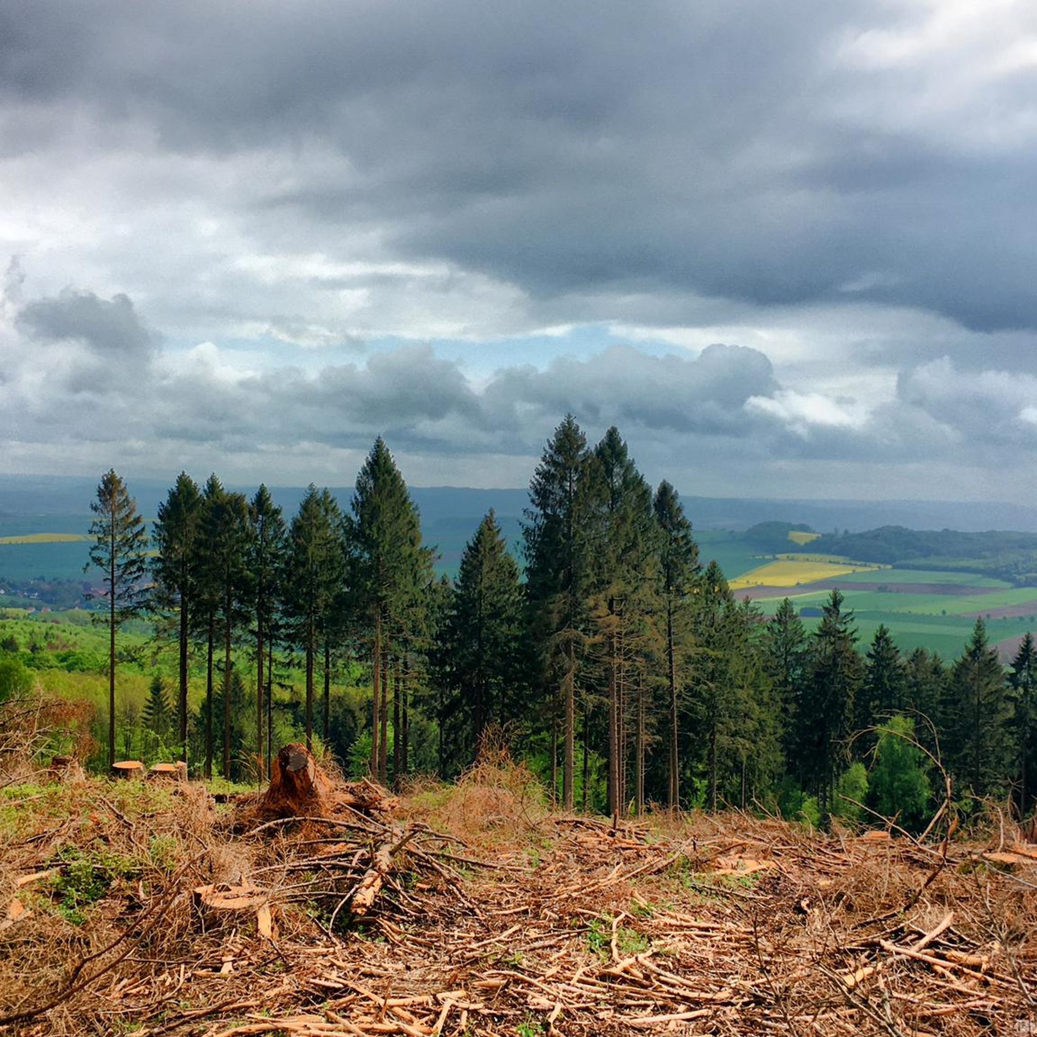
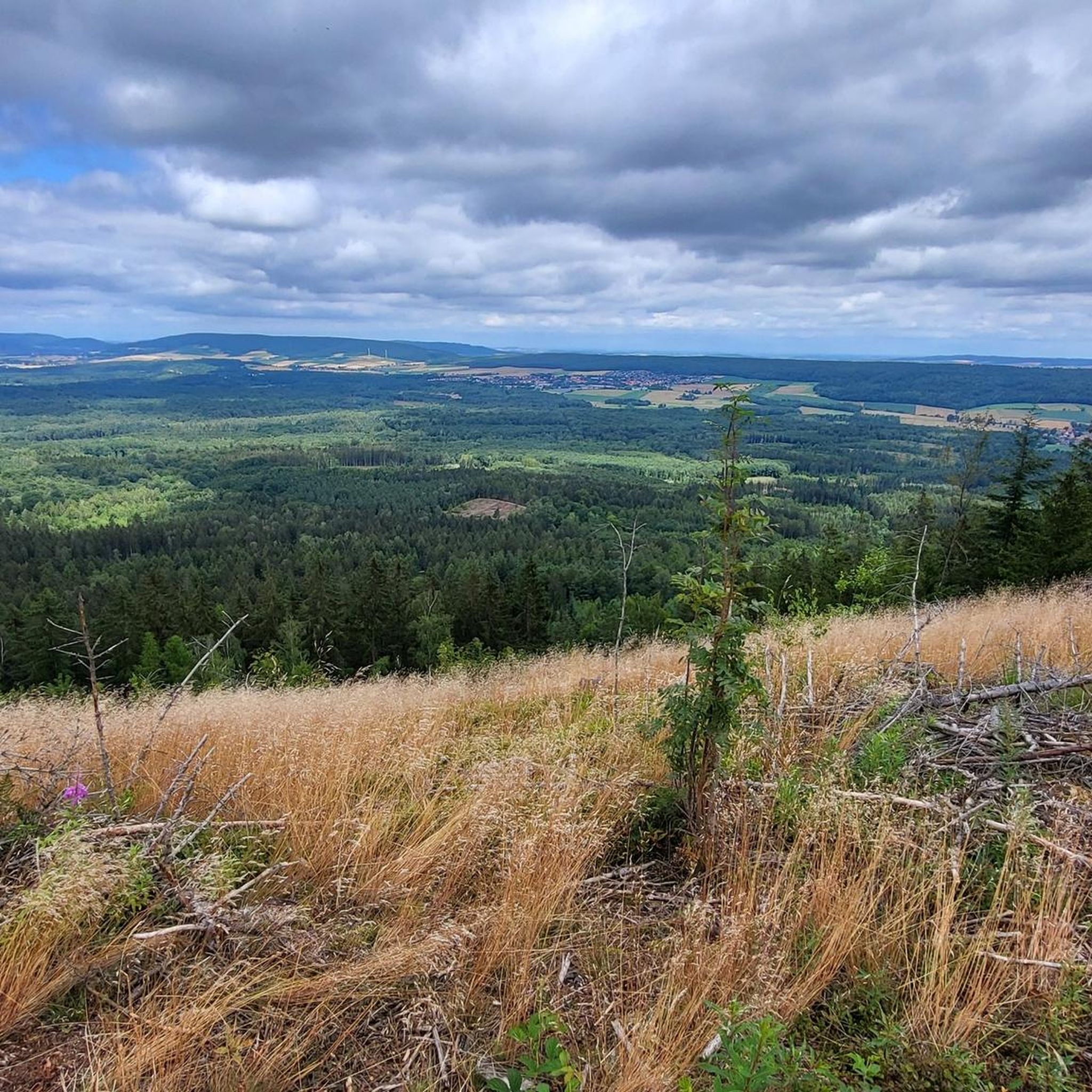
A crazy approach. More suited to mountain bikers. But the view is beautiful. And the nearby bench is perfect for a break.
0
0
Frequently Asked Questions
What kind of terrain can I expect on running routes in Hils?
Jogging routes in Hils feature a diverse and often challenging terrain. You'll encounter rolling hills, dense woodlands, and varied elevations. The paths frequently lead through established forest trails, offering a mix of gentle slopes and more rugged sections with natural surfaces.
How many running routes are available in the Hils region?
The Hils region offers a wide selection of running routes, with over 370 different options available for you to explore. This includes routes suitable for various fitness levels and preferences.
Are there running routes in Hils suitable for beginners or those looking for an easier run?
Yes, Hils provides options for all skill levels. While many routes feature varied terrain and elevations, there are approximately 40 routes classified as 'easy', perfect for beginners or those seeking a more relaxed run. The majority, around 280 routes, are 'moderate'.
What are some of the natural features or landmarks I might see while jogging in Hils?
The Hils region is known for its natural beauty. Along your runs, you might encounter significant natural monuments such as the Bloße Zelle (480 m), which is the highest point in the Hils, or serene spots like the Glasebach Pond and Hilsborn Pond. There are also several viewpoints, including the Firebreak Hut Viewpoint and the Wilhelm Raabe Tower, offering scenic vistas.
Are there any circular running routes in Hils?
Yes, many of the running routes in Hils are designed as loops, allowing you to start and finish at the same point. An example is the challenging Wilhelm Raabe Tower – Firebreak Hut Viewpoint loop from Amphibienbiotope Hohenbüchen, which covers over 15 km.
What do other runners say about the jogging trails in Hils?
The running trails in Hils are highly regarded by the komoot community, boasting an impressive average rating of 4.5 stars from over 400 reviews. Runners often praise the varied terrain, the dense woodlands, and the scenic viewpoints that make each run unique and engaging.
Can I find longer running routes in Hils for endurance training?
Absolutely. For those looking for longer distances, Hils offers several routes over 10 km. For instance, the View of Eimen and Wenzen – View from Hilskamm of Eimen loop from Laubwälder im Hils is a difficult 15.3 km trail, and the Wilhelm Raabe Tower – Firebreak Hut Viewpoint loop from Amphibienbiotope Hohenbüchen is another challenging option of similar length.
Are there any running routes that offer particularly good views?
Many routes in Hils provide excellent scenic views, thanks to the region's varied elevations and natural features. The View of Eimen and Wenzen – View from Hilskamm of Eimen loop from Laubwälder im Hils is specifically highlighted for its vistas. Additionally, routes passing by viewpoints like the Firebreak Hut Viewpoint or the Wilhelm Raabe Tower are sure to offer rewarding panoramas.
What is the best time of year to go jogging in Hils?
Hils is a great destination for jogging year-round. The primeval forests burst with vibrant colors in autumn, and spring brings a profusion of ferns, shrubs, and wildflowers. While the region's characteristics make it enjoyable in any season, spring and autumn often offer the most comfortable temperatures and stunning natural backdrops.
Are there any huts or shelters along the running trails in Hils?
Yes, you can find several huts and shelters that might offer a brief respite or a place to stop along your run. Notable examples include the Barbara Baude at the Barbara Cross and the Charcoal burner's hut on the Hünenburg. These can be useful for a quick break or shelter from the elements.
What kind of elevation changes can I expect on running routes in Hils?
The Hils region is characterized by rolling hills and a deeply dissected landscape, meaning you can expect significant elevation changes on many routes. These varied elevations provide both challenging climbs and rewarding descents, contributing to a dynamic running experience. For example, the Forest Path to Lutherplatz – Papenkammersteg loop from Grünenplan includes over 170 meters of ascent.
Most popular routes around Hils
Most popular attractions around Hils

Get inspired with the komoot mobile app


Explore more
Browse the best Running Trails & Routes in other regions.
