The best MTB trails around Süntel
4.6
(2329)
6,016
riders
738
rides
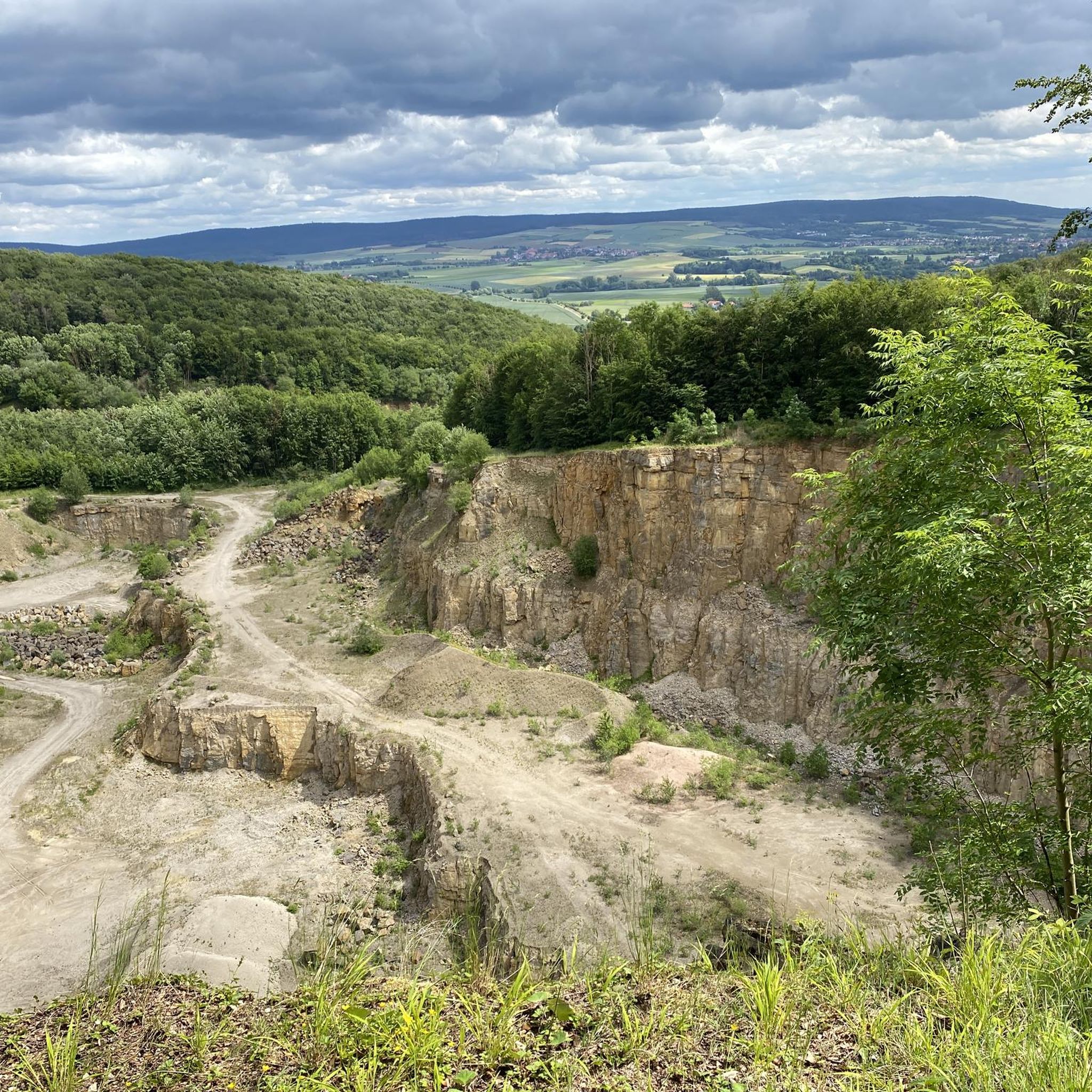
Mountain biking around Süntel offers a diverse landscape within the German Central Uplands, featuring dense mixed forests, dramatic limestone cliffs, and picturesque valleys. The region's varied topography includes significant altitude differences, providing a range of experiences from challenging climbs to scenic descents. Rolling hills and dense forests characterize the area, with peaks reaching approximately 400 meters.
Best mountain bike trails around Süntel
- The most popular mountain bike trail is View of the Kiesteich – Stau Manor loop from Barksen,…
Last updated: July 6, 2026
5.0
(16)
17
riders
26.2km
02:20
520m
520m
Moderate mountain bike ride. Good fitness required. Advanced riding skills necessary.
4.7
(12)
17
riders
17.5km
01:02
110m
110m
Easy mountain bike ride. Great for any fitness level. Suitable for all skill levels.

Sign up for free
5.0
(3)
8
riders
Moderate mountain bike ride. Good fitness required. Advanced riding skills necessary.
4.8
(6)
10
riders
7.67km
00:39
220m
220m
Easy mountain bike ride. Great for any fitness level. Suitable for all skill levels.
4.8
(5)
7
riders
29.0km
02:19
540m
540m
Moderate mountain bike ride. Good fitness required. Advanced riding skills necessary.
Get access to more routes and recommendations from other explorers.
Sign up for free
Already have an account?
Our route recommendations are based on thousands of hikes, rides, and runs completed by other people on komoot.
Start today with a free account
Your next adventure awaits.
Login or Signup
Popular around Süntel

The National Natural Landscapes in Niedersachsen
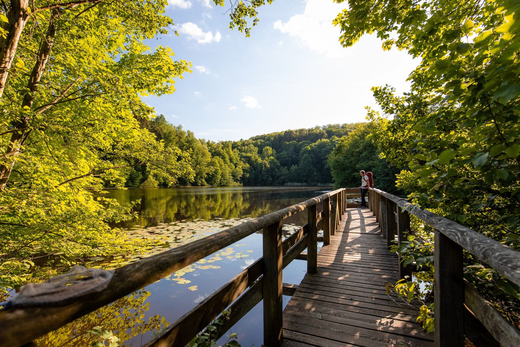
Time in the countryside – recharge your batteries in the Weserbergland
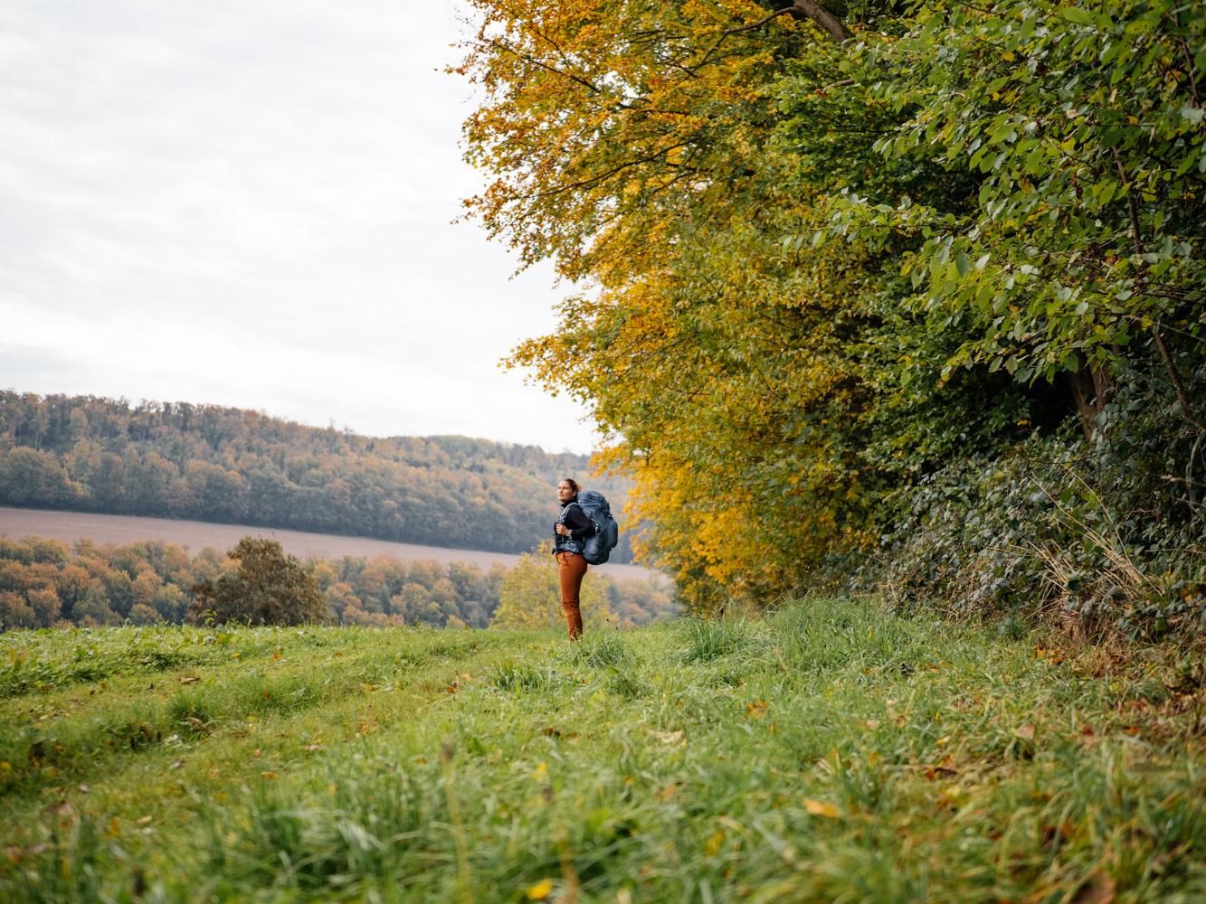
Weser Uplands Trail in autumn – out and about with Fräulein Draußen
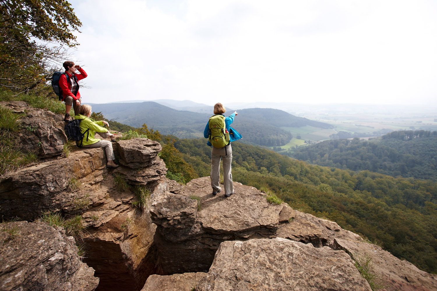
Weser Uplands Extreme – hiking for true adventurers
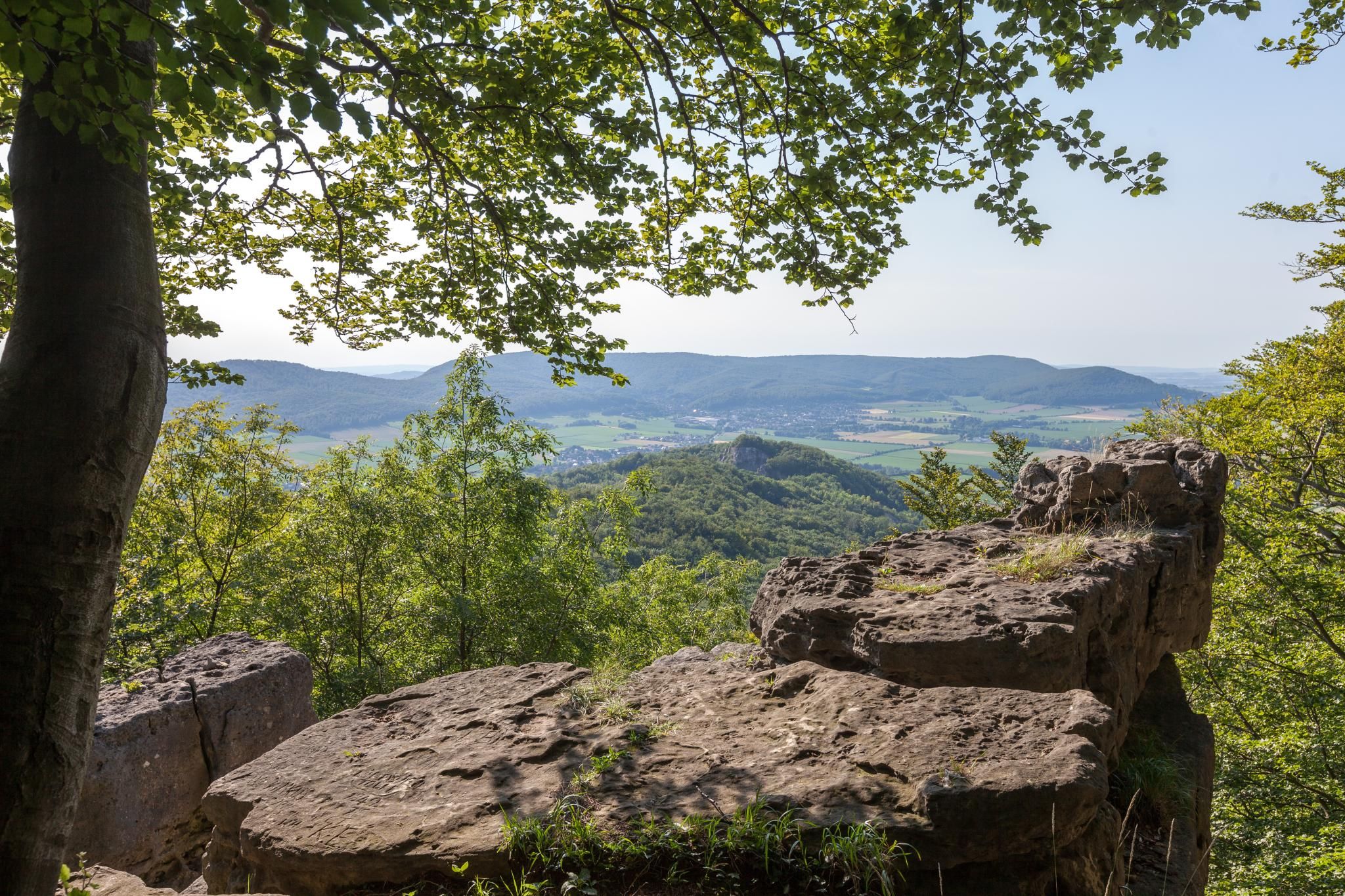
High up on cliffs and viewpoints in the Weserbergland region
Experience nature with all your senses in the Weserbergland
Castles and miners – hike through history in the Weserbergland region
Fabulously scenic – hiking Germany’s Weserbergland Trail
Stalactite caves – magical worlds beneath the surface
Hiking around Süntel
Other adventures around Süntel


Tips from the Community

The Süntel Tower is temporarily closed. It may reopen on April 1st, 2026.
1
0

The Hohenstein in the Süntel hills is a striking rock formation and one of the most popular viewpoints in the Weser Uplands. From the approximately 340-meter-high cliff, there is a sweeping view across the Weser Valley and the surrounding hills. The Hohenstein's rocks are made of sandstone and drop steeply southward into the valley. From the natural viewpoints, especially the so-called "pulpit," the course of the Weser River, which meanders through the landscape in wide bends, is clearly visible. The area is part of the Süntel Nature Reserve and provides habitat for numerous animal and plant species.
1
0

I find the singletrack aspect more interesting. Unfortunately, it's a bit overgrown and difficult to see in autumn, but it's fun with some dips and jumps.
0
0

There's a roughly 500-meter-long trail through the forest, with several jumps for jumping. Highly recommended.
0
0

Without a doubt, super delicious ice cream!!! 🍦
0
0
On summer weekends, the Baxmann Baude is open and the operators offer cool drinks.
0
0
Two forest benches invite you to take a break. The view extends over the Blutbach Valley.
0
0
On October 16, 1962, two Republic F-84F Thunderstreak fighter jets crashed into the Hohe Egge mountain range in dense fog, killing both Belgian pilots. Thirty-nine years after the accident, a memorial was erected in Süntel to commemorate the two pilots. The memorial stands halfway up the Steinweg path between Falltal and the Süntel Tower – directly next to the crash site! It was erected by D. Hartmann of Hülsede.
1
0
Frequently Asked Questions
How many mountain bike trails are there in Süntel?
Süntel offers a wide selection of mountain bike routes, with over 740 trails available on komoot. These range from easy forest paths to more demanding single tracks, catering to various skill levels.
What types of terrain can I expect on mountain bike trails in Süntel?
The Süntel region features a diverse landscape, including dense mixed forests, dramatic limestone cliffs, and picturesque valleys. You'll encounter varied topography with significant altitude differences, offering both challenging climbs and scenic descents. Some trails also feature technical single tracks.
Are there any easy mountain bike trails suitable for beginners or families in Süntel?
Yes, Süntel has a good selection of easier routes. For instance, the View of the Kiesteich – Stau Manor loop from Barksen is an easy 17.5 km path with gentle gradients, perfect for a relaxed ride. Overall, there are over 190 easy mountain bike tours in the area.
What are some notable landmarks or viewpoints to look out for on the trails?
Süntel offers several scenic spots. The Hohenstein cliffs provide stunning views over the Weser Valley, especially during sunrise or sunset. The "Yellow Place" viewpoint is also popular for its splendid views towards Hohenstein. Additionally, the Süntelturm, a 25-meter high tower, offers expansive views that can stretch to the Steinhuder Meer or the Harz Mountains on clear days.
Are there any waterfalls or caves accessible from the mountain bike trails?
Yes, the region is home to the two highest natural waterfalls in Lower Saxony, located at Höllenmühle near Langenfeld, within the rocky Höllengrund valley. The Langenfeld Waterfall is 15 meters high. Süntel also features geological marvels like the Riesenberghöhle (giant hill caves) and the Schillat Caves, which are open to visitors and showcase fascinating formations.
What do other mountain bikers enjoy most about the Süntel trails?
The mountain bike trails in Süntel are highly rated by the komoot community, with an average score of 4.7 stars from over 2,300 reviews. Riders often praise the diverse landscape, the mix of challenging and easy routes, and the beautiful viewpoints like Hohenstein and the Süntelturm.
Are there any long-distance mountain bike routes in Süntel?
Yes, Süntel offers several longer routes for endurance riders. For example, the View of the Weser Uplands – Kneipp water-treading spot at the Steinbach loop from Pötzen is a moderate 42.4 km trail, typically completed in about 3 hours 40 minutes. Another option is the View from Hohenstein – Süntel Tower loop from Bad Münder (Deister), which covers 43.4 km.
What is the best time of year for mountain biking in Süntel?
Süntel is enjoyable throughout much of the year. The mixed forests and varied terrain offer beautiful scenery in spring with blooming snowdrops and wood anemones, and vibrant colors in autumn. While some forest tracks can be long, the region's diverse trails are generally accessible, though conditions can vary with weather.
Are there any specific rules or permits required for mountain biking in Süntel?
Mountain biking in Süntel generally follows standard regulations for nature parks. While specific permits are not typically required for general trail use, it's always advisable to respect local signage, stay on marked trails, and be mindful of hikers and other nature users, especially in sensitive areas like nature reserves.
Are the mountain bike trails in Süntel dog-friendly?
Many trails in Süntel are suitable for riding with dogs, especially on wider forest paths. However, it's crucial to keep dogs on a leash, particularly in nature reserves like the Schneegrund, and to be considerate of wildlife and other trail users. Always check local regulations for specific areas.
Are there places to eat or stay near the mountain bike trails in Süntel?
Yes, the Süntel region has options for refreshments and accommodation. The Süntelturm, for instance, includes a hiking restaurant. You can also find various huts and shelters, such as the Baxmann Hut or the Süntelkamm Hut, which might offer basic amenities or serve as good resting points. Nearby towns also provide cafes, pubs, and hotels.
What are the options for parking when mountain biking in Süntel?
Parking is generally available at various trailheads and access points around Süntel. Many routes start from villages or designated parking areas within the Weser Uplands Schaumburg-Hamelin Nature Park. Specific parking information is often detailed on individual route descriptions on komoot.
Can I reach the Süntel mountain bike trails using public transport?
Public transport options to access the Süntel region exist, connecting to nearby towns like Bad Münder or Hessisch Oldendorf. From these points, you may need to cycle a short distance to reach specific trailheads. It's recommended to check local bus schedules and policies regarding bike transport in advance.
Most popular routes around Süntel
Most popular attractions around Süntel

Get inspired with the komoot mobile app


Explore more
Browse the best MTB trails in other regions.
