The best walks and hikes around Heulenberg
4.5
(7668)
31,251
hikers
1,457
hikes
Hiking around Heulenberg offers access to a diverse landscape within the Karlsruhe region, known as a gateway to the Black Forest. The area features extensive green forests, including the Heulenberg itself, and varied hilly terrain with valleys such as the Alb Valley. Hikers can explore river landscapes along the Rhine floodplains and benefit from the proximity to the Central/North Black Forest Nature Park. This region provides a range of natural settings for outdoor activities.
Best hiking trails around Heulenberg
- The…
Last updated: August 11, 2026
4.6
(16)
45
hikers
Hard hike. Very good fitness required. Easily-accessible paths. Suitable for all skill levels.
4.5
(10)
40
hikers
Moderate hike. Good fitness required. Easily-accessible paths. Suitable for all skill levels.

Sign up for free
4.5
(12)
34
hikers
5.94km
01:43
120m
120m
Easy hike. Great for any fitness level. Easily-accessible paths. Suitable for all skill levels.
4.7
(10)
31
hikers
Moderate hike. Good fitness required. Easily-accessible paths. Suitable for all skill levels.
5.0
(3)
24
hikers
4.49km
01:15
80m
80m
Easy hike. Great for any fitness level. Easily-accessible paths. Suitable for all skill levels.
Get access to more routes and recommendations from other explorers.
Sign up for free
Already have an account?
Our route recommendations are based on thousands of hikes, rides, and runs completed by other people on komoot.
Start today with a free account
Your next adventure awaits.
Login or Signup
Tips from the Community

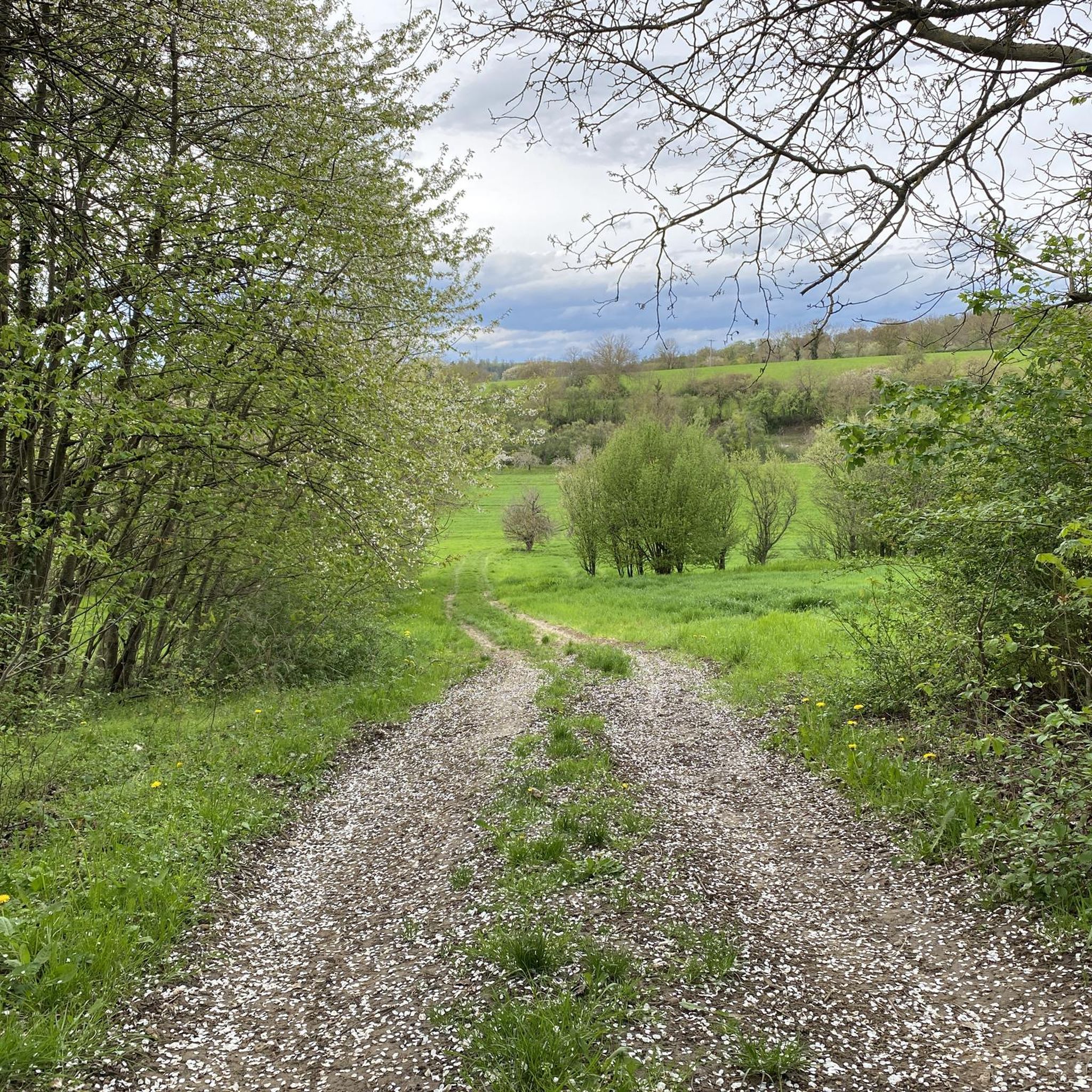
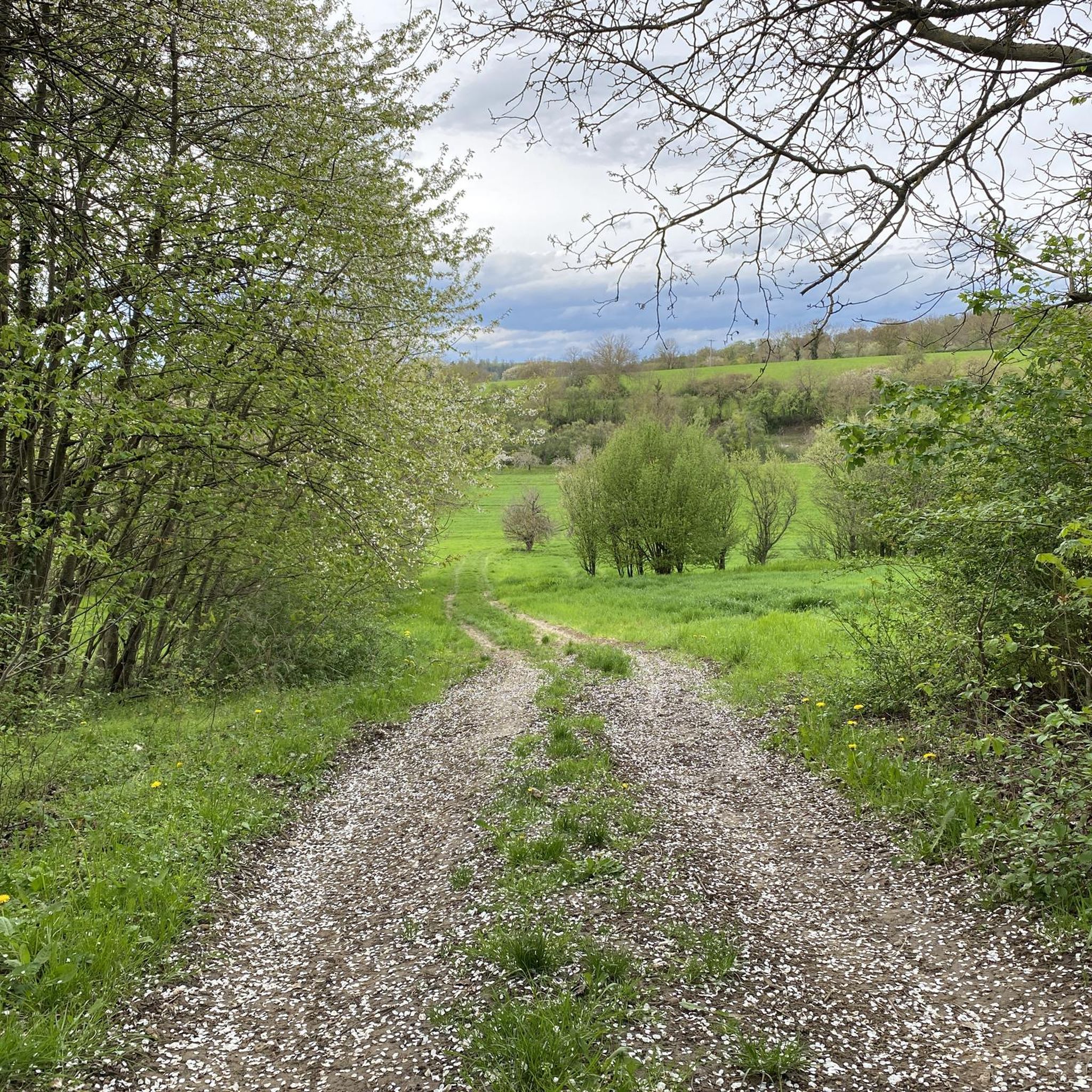
Seating area in an exposed location on the Heuberg with a good view towards Jöhlingen in the Kraichgau in one direction, and towards the Palatinate Forest in the other direction.
1
0
The former border ditch is still partially recognizable as a terrain structure in the local forest and meadow landscape near the Heuberg and Pfinztal. The historical border ditch from the 18th century marked the then outer border between the Prince-Bishopric of Speyer (to which Jöhlingen belonged as a possession of the Speyer Cathedral Chapter) and the Margraviate of Baden-Durlach.
1
0

Nice service, delicious food and great view over the Hirschtal. Only those who want to drink wine from Weinhof Rupp will be disappointed - no wine has been produced there for a long time, the Weinhof is purely a tavern.
1
0
The bronze sculptures of two goats at the entrance to Wöschbach are a work by the artist Friedhelm Zilly.
6
0
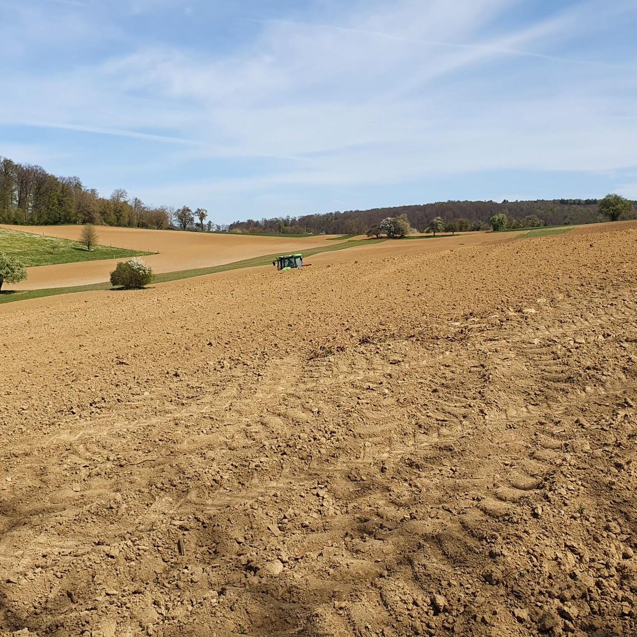
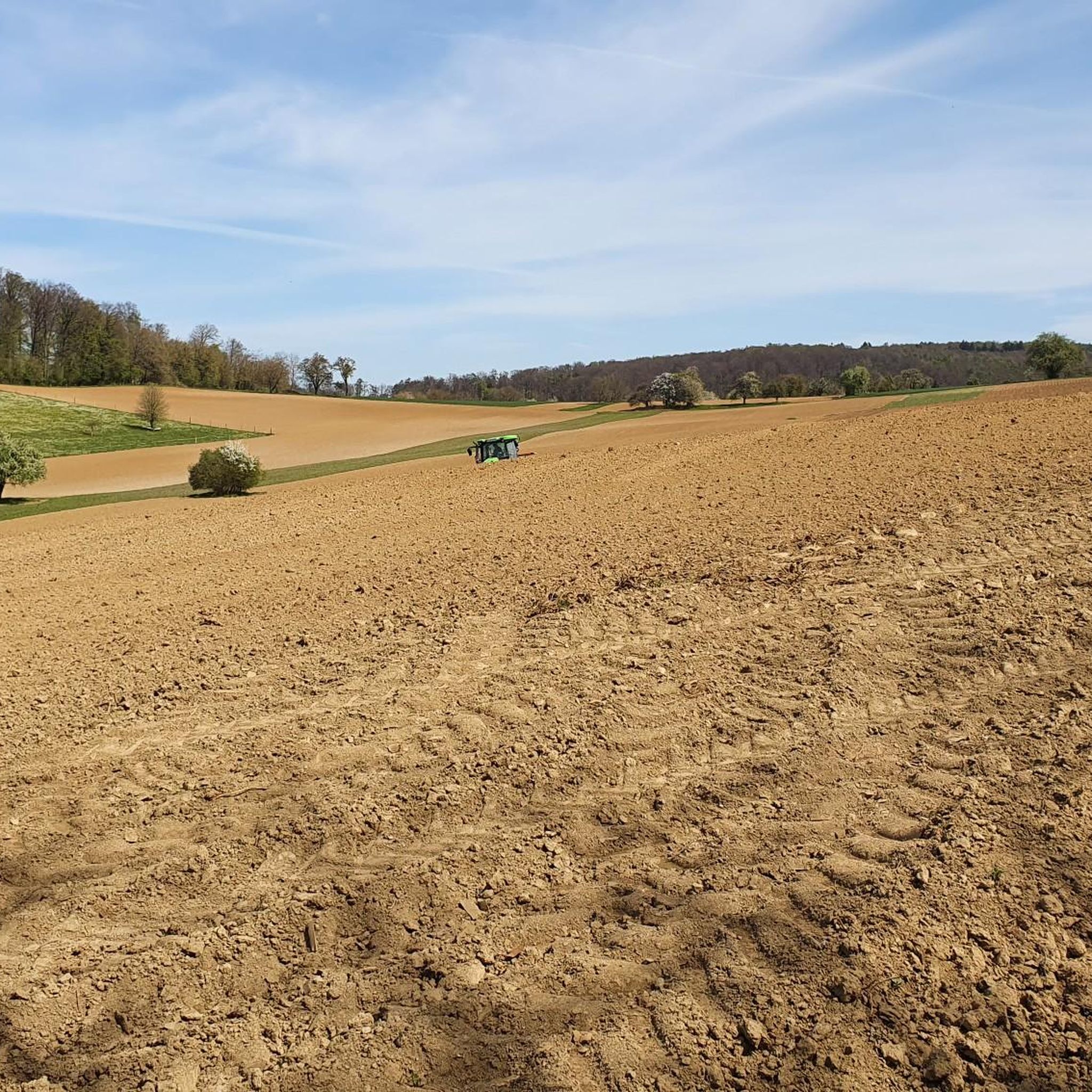
Magnificent view over the fields of Kraichgau towards Jöhlingen.
6
0
Beautiful baroque pilgrimage chapel, built in 1732 on the watershed between Jöhlingen and Wöschbach. From there you have a magnificent view over Jöhlingen and the Walzbachtal.
7
0
Old$( )18th$( )century$( )way$( )cross,$( )with$( )a$( )bench$( )placed$( )next$( )to$( )it.$( )One$( )of$( )8$( )crosses$( )on$( )the$( )marked$( )cross$( )trail.
5
0
Small hut in good condition at the junction of many forest paths. Often seasonally decorated.
4
0
Frequently Asked Questions
How many hiking trails are available around Heulenberg?
Heulenberg and the surrounding Karlsruhe region offer a vast network of trails, with over 1,400 hiking routes available. This includes a wide variety of options, from easy strolls to more challenging paths, catering to different fitness levels.
What makes Heulenberg a good hiking destination?
Heulenberg is situated in the diverse landscape of the Karlsruhe region, often called the 'gateway to the Black Forest'. Hikers can explore extensive green forests, hilly terrain, and river landscapes like the Rhine floodplains. Its proximity to the Central/North Black Forest Nature Park provides access to a wide range of natural settings and varied trails.
Are there easy hiking trails suitable for beginners or families in Heulenberg?
Yes, Heulenberg offers many easy hiking trails perfect for beginners or families. Out of over 1,400 routes, more than 970 are classified as easy. An example is the Talbergstäffele – View of Söllingen loop from Söllingen Reetzstraße, a 3.7-mile (6.0 km) trail that takes about 1 hour 43 minutes to complete.
Can I find circular hiking routes in Heulenberg?
Yes, many of the trails around Heulenberg are circular routes, allowing you to start and end at the same point. For instance, the popular Maria-Hilf Chapel, Jöhlingen – Wössinger Kreuz loop from Lehmgrube am Heulenberg is a moderate 6.9-mile (11.1 km) loop that passes by cultural landmarks.
What kind of landscapes can I expect to see while hiking around Heulenberg?
While hiking around Heulenberg, you'll encounter diverse landscapes including verdant forests, rolling hills, and picturesque valleys like the Alb Valley. The region also features idyllic river landscapes along the Rhine floodplains, offering a varied natural experience.
Are there more challenging hikes for experienced hikers in the area?
Yes, for experienced hikers seeking a challenge, there are 29 difficult routes available. One such option is the Ringelberg Hollow Way – View of Jöhlingen loop from Lehmgrube am Heulenberg, a demanding 13.0-mile (21.0 km) trail with significant elevation changes, typically taking almost 6 hours to complete.
What do other hikers say about the trails in Heulenberg?
The trails in Heulenberg are highly regarded by the komoot community, with an average rating of 4.6 stars from over 6,700 reviews. Hikers often praise the well-maintained paths, the diverse scenery, and the opportunity to explore both natural forests and cultural landmarks.
Are dogs allowed on the hiking trails around Heulenberg?
Generally, dogs are welcome on most hiking trails in the Heulenberg region. However, it's always advisable to keep them on a leash, especially in nature reserves or areas with wildlife, and to respect local regulations.
What is the best time of year to go hiking in Heulenberg?
The Heulenberg region is beautiful year-round, but spring and autumn are particularly popular for hiking. In spring, the forests burst with new growth, and in autumn, the foliage offers vibrant colors. Summer provides warm weather, while winter can offer serene, snow-covered landscapes, though some paths might be slippery.
Are there any cultural or themed hiking routes in the area?
Yes, the broader Karlsruhe region, which includes Heulenberg, offers themed trails that combine nature with cultural insights. An example is the Klosterpfad (Monastery Path), which connects historical sites and provides a journey through the early Middle Ages, blending natural beauty with cultural heritage.
Are there places to eat or rest near the hiking routes?
While specific cafes directly on the Heulenberg trails are not detailed, the surrounding towns and villages in the Karlsruhe region offer various opportunities for refreshments and rest. Many routes pass close to settlements where you can find local eateries or traditional German Gasthäuser.
Are there any viewpoints or scenic spots along the trails?
Yes, the hilly terrain around Heulenberg and the wider Karlsruhe area offers several scenic viewpoints. For example, the Turmberg in Karlsruhe Durlach, a local mountain, provides spectacular panoramic views over Karlsruhe, the Rhine plain, and even the Vosges Mountains on clear days, rewarding hikers who make the ascent.
Where can I find parking for hiking trails in Heulenberg?
Many trailheads and popular starting points around Heulenberg, especially those near villages or specific attractions, offer designated parking areas. For instance, routes like the Karlsruhe City Center – View of Wöschbach loop from Lehmgrube am Heulenberg often have parking available at their starting points or nearby.
Most popular routes around Heulenberg

Get inspired with the komoot mobile app


Explore more
Browse the best Hikes in other regions.
