The best walks and hikes around Schwetzinger Hardt
4.6
(1352)
9,509
hikers
129
hikes
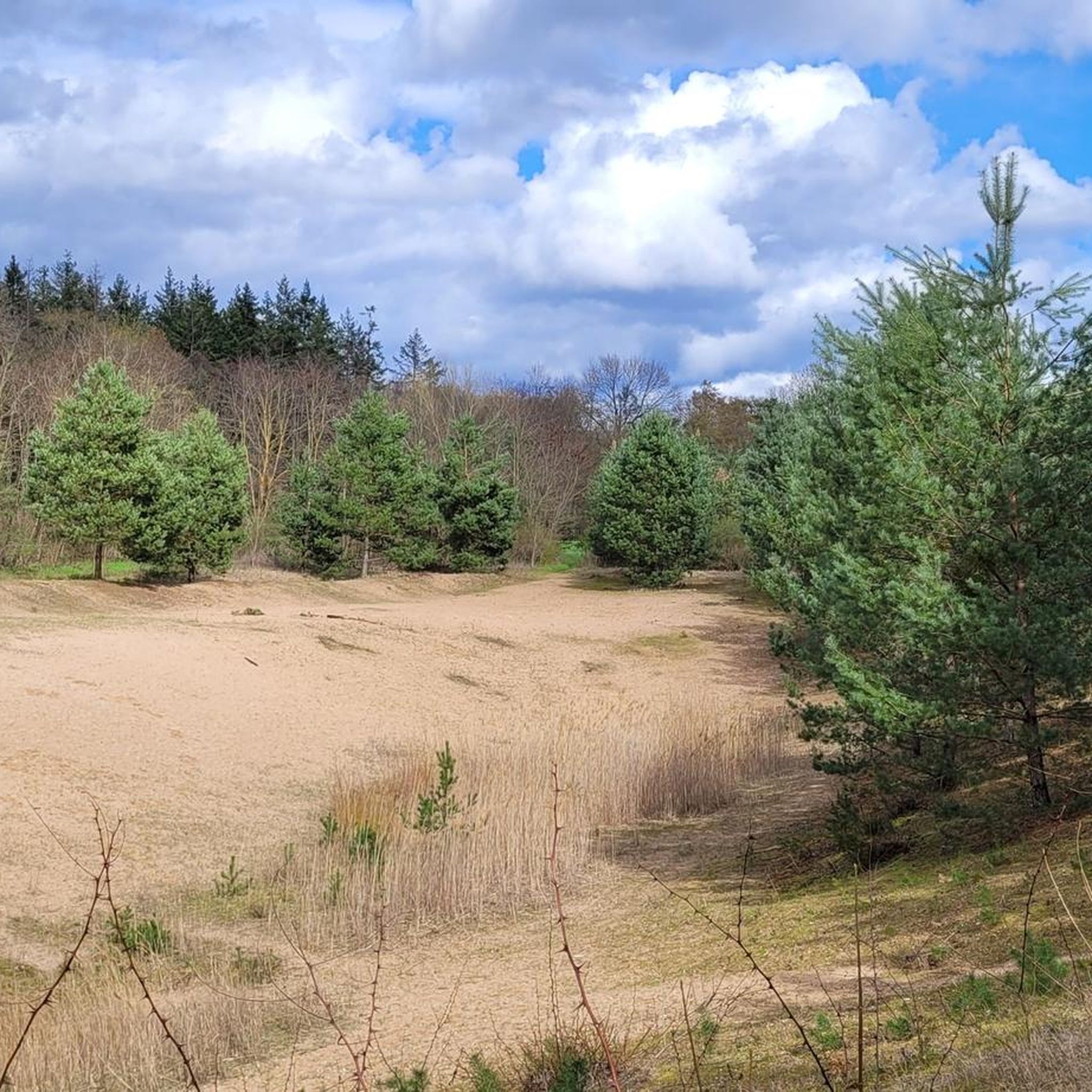
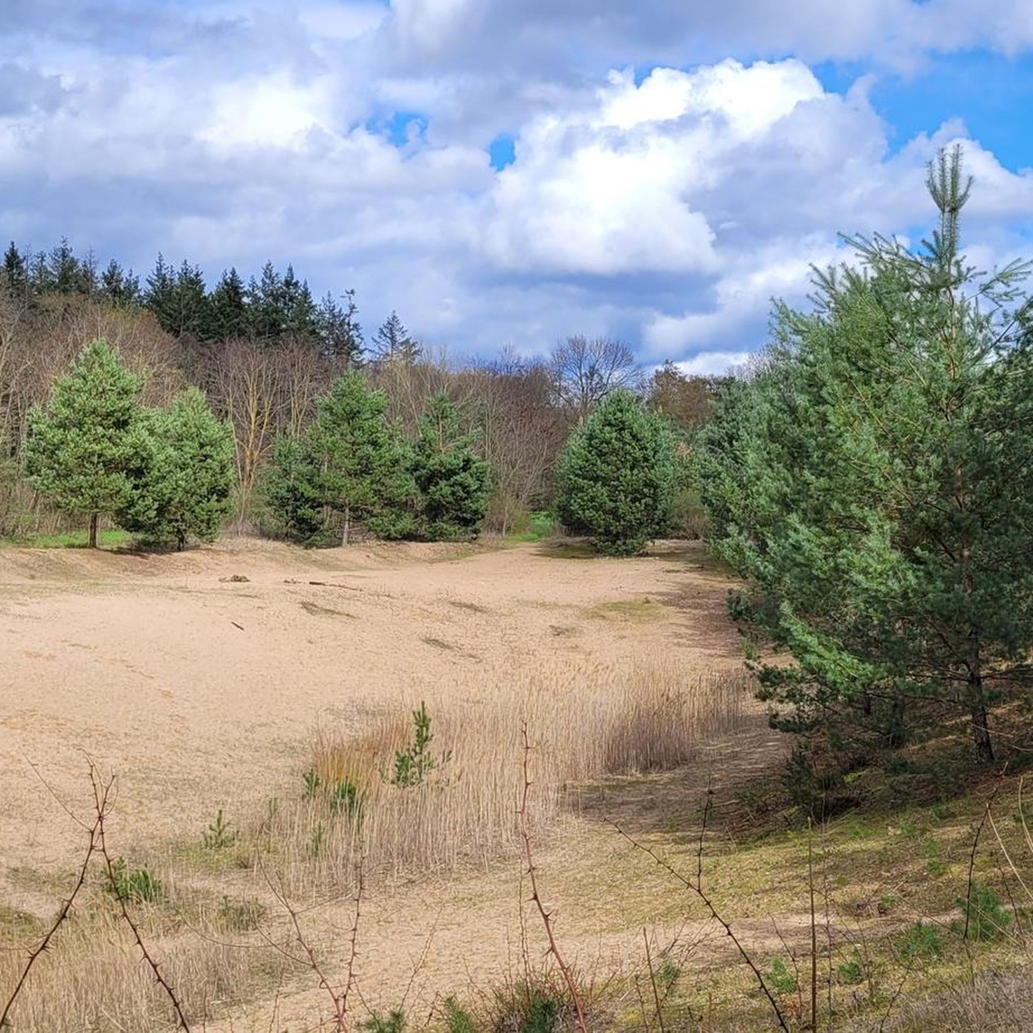
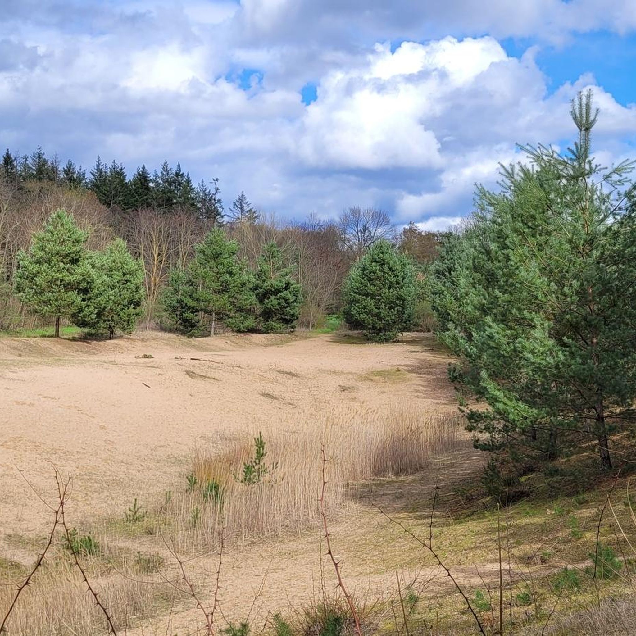
Hiking around Schwetzinger Hardt offers diverse natural landscapes within Baden-Württemberg, Germany. This expansive regional forest reserve, covering over 3,100 hectares, features vast forests and unique inland dunes. These ancient dunes, formed by winds, present open sand grass communities amidst the woodlands. The area is designated for nature conservation and recreation, providing well-maintained paths for various outdoor activities.
Best hiking trails around Schwetzinger Hardt
- The most popular hiking route is Landscape Conservation Dunes loop from Oftersheim, a 7.6 miles (12.2…
Last updated: October 7, 2026
4.1
(11)
43
hikers
12.3km
03:08
30m
30m
Moderate hike. Good fitness required. Easily-accessible paths. Suitable for all skill levels.
4.8
(11)
53
hikers
6.30km
01:36
10m
10m
Easy hike. Great for any fitness level. Easily-accessible paths. Suitable for all skill levels.

4.8
(5)
26
hikers
Easy hike. Great for any fitness level. Easily-accessible paths. Suitable for all skill levels.
4.9
(9)
31
hikers
6.08km
01:32
10m
10m
Easy hike. Great for any fitness level. Easily-accessible paths. Suitable for all skill levels.
4.2
(22)
29
hikers
Moderate hike. Good fitness required. Easily-accessible paths. Suitable for all skill levels.
Get access to more routes and recommendations from other explorers.
Already have an account?
Our route recommendations are based on thousands of hikes, rides, and runs completed by other people on komoot.
Start today with a free account
Your next adventure awaits.

Tips from the Community

A historic cattle well (Kuhbrunnen) in the forest — an old stone watering trough that has served travellers and animals for centuries. A quiet, atmospheric spot off the main track.
0
0
A historic stone bridge crossing the Hardtbach on the old Speyrer Weg trading route — a charming and well-preserved structure. Great photo opportunity, especially in morning mist.
0
0
A designated rewilding area — the 'Primeval Forest of Tomorrow' is a nature reserve where fallen trees are left to decay naturally. Fascinating and eerie; don't stray from the path.
0
0
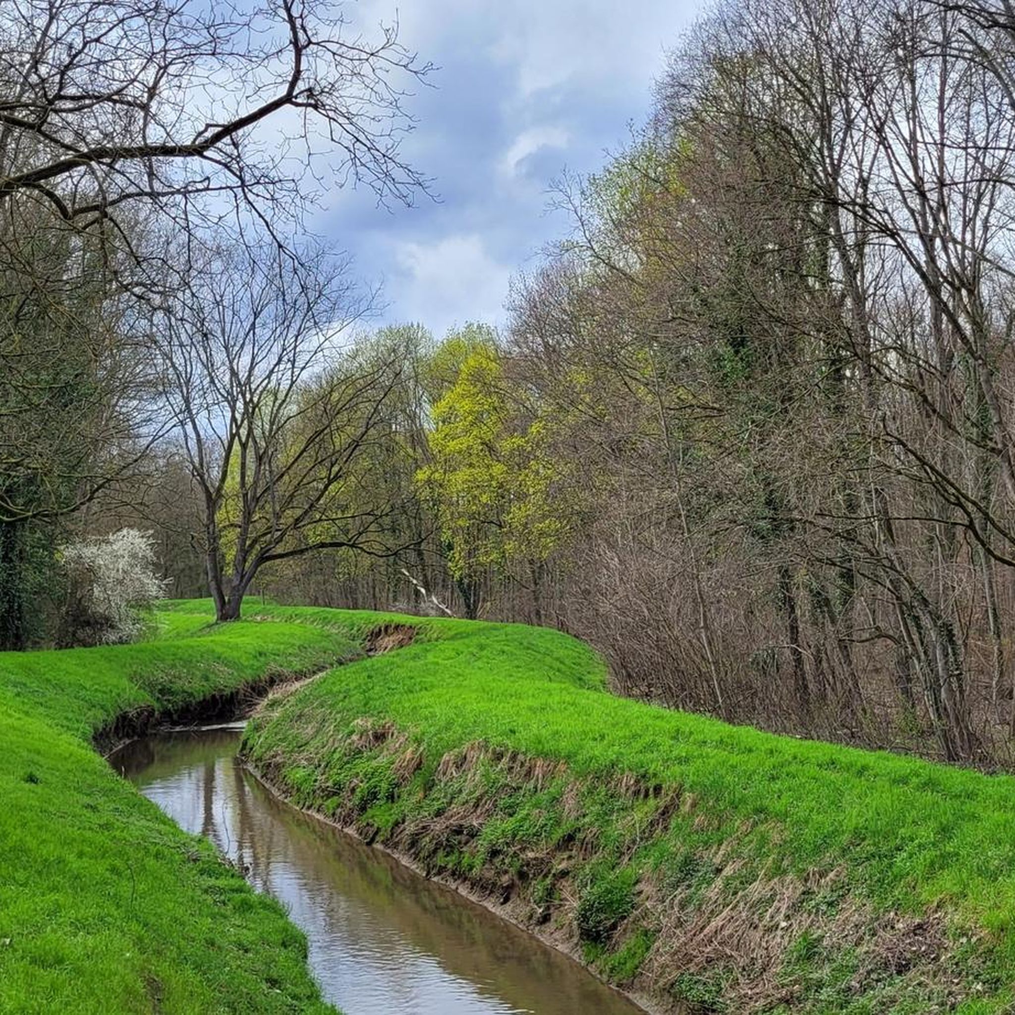
A scenic stretch following the Hardtbach stream through the forest — lush and peaceful, with nice views of the water beside the path. A highlight of the natural scenery on this ride.
0
0

The hut is NOT located here, but only behind the Totholzgarten on the Reilinger Weg in a southerly direction (see signpost).
0
0

This is the "Old Axe Bridge". At least, that's what a wooden sign says.
1
0

https://www.hockenheimring.de You can walk part of the old race track. Opened in 1932 and rebuilt several times, the last in 2002. Jim Clark died in a crash on April 7, 1968. There are two memorial stones, one directly on the race track and one where he lost his life on the old track.
0
0

A piece of history 🥹
1
0
Frequently Asked Questions
What kind of terrain can I expect when hiking in Schwetzinger Hardt?
Schwetzinger Hardt is characterized by extensive forests and unique inland dunes. The trails are generally well-maintained, offering a mix of forest paths and sandy sections, especially around the dune areas. The region is relatively flat, making it accessible for various fitness levels.
Are there trails suitable for families or beginners?
Yes, Schwetzinger Hardt offers many easy trails perfect for families and beginners. For example, Aida's Kleine Park loop from Oftersheim is an easy 6.5 km route that takes about 1 hour 39 minutes, leading through pleasant park-like settings. Another accessible option is the Deadwood Garden on Reilinger Weg – Densbühlhütte loop, which is about 7.3 km long.
What unique natural features can I discover while hiking?
The most distinctive natural feature is the presence of inland dunes, such as the Inland dune in the Schwetzinger Hardt. These dunes, formed thousands of years ago, feature fine sand and unique sand grass communities. You can experience them on trails like the Landscape Conservation Dunes loop from Oftersheim.
Are there many circular hiking routes available?
Yes, the majority of hiking routes in Schwetzinger Hardt are circular, allowing you to start and end at the same point. This makes planning your hike convenient. Many popular options, such as the View of Königstuhl loop from Oftersheim, are designed as loops.
What do other hikers enjoy most about Schwetzinger Hardt?
The area is highly rated by the komoot community, with an average score of 4.6 stars from over 140 reviews. Hikers often praise the well-maintained paths, the peaceful forest environment, and the unique experience of walking through the inland dunes. The diversity of trails catering to different fitness levels is also frequently highlighted.
How can I get to the hiking trails in Schwetzinger Hardt?
Schwetzinger Hardt is easily accessible. Many trails start from towns like Oftersheim, which can be reached by public transport. For those driving, there are various parking options available near trailheads, especially at popular starting points around the forest edges.
Are there any interesting landmarks or points of interest along the trails?
Beyond the natural beauty, you can find several points of interest. The Inland dune in the Schwetzinger Hardt is a significant natural monument. You might also encounter the Kuhbrunnen (Cow Well) in Hardtwald or the Further Viewing Station "Deadwood Alive", which offer insights into the local ecology and history.
When is the best time of year to go hiking in Schwetzinger Hardt?
Schwetzinger Hardt is enjoyable year-round. Spring brings fresh greenery, while autumn offers beautiful foliage. The extensive forests provide pleasant shade during warmer summer months, and the well-maintained paths are generally suitable for winter walks, though conditions may vary with snow or ice.
Are dogs allowed on the hiking trails?
Generally, dogs are welcome on the hiking trails in Schwetzinger Hardt. However, it's always recommended to keep them on a leash, especially in nature conservation areas and near wildlife, to protect the local flora and fauna and ensure a pleasant experience for all visitors.
How many hiking trails are there in Schwetzinger Hardt?
There are over 130 hiking routes available in Schwetzinger Hardt. This includes a wide range of options, with more than 110 easy trails and 18 moderate routes, ensuring there's something for every preference and fitness level.
Are there any longer or more challenging hikes available?
While Schwetzinger Hardt is generally flat, there are moderate routes for those seeking a longer experience. The Landscape Conservation Dunes loop from Oftersheim is a moderate 12.2 km trail, taking over 3 hours to complete, offering a good distance without significant elevation changes. Another moderate option is the View of Königstuhl loop from Oftersheim, which is 9.2 km long.
Most popular routes around Schwetzinger Hardt
Most popular attractions around Schwetzinger Hardt

Get inspired with the komoot mobile app


Explore more
Browse the best Hikes in other regions.
