The best road cycling routes around Craigvinean Forest
4.6
(22)
911
riders
32
rides
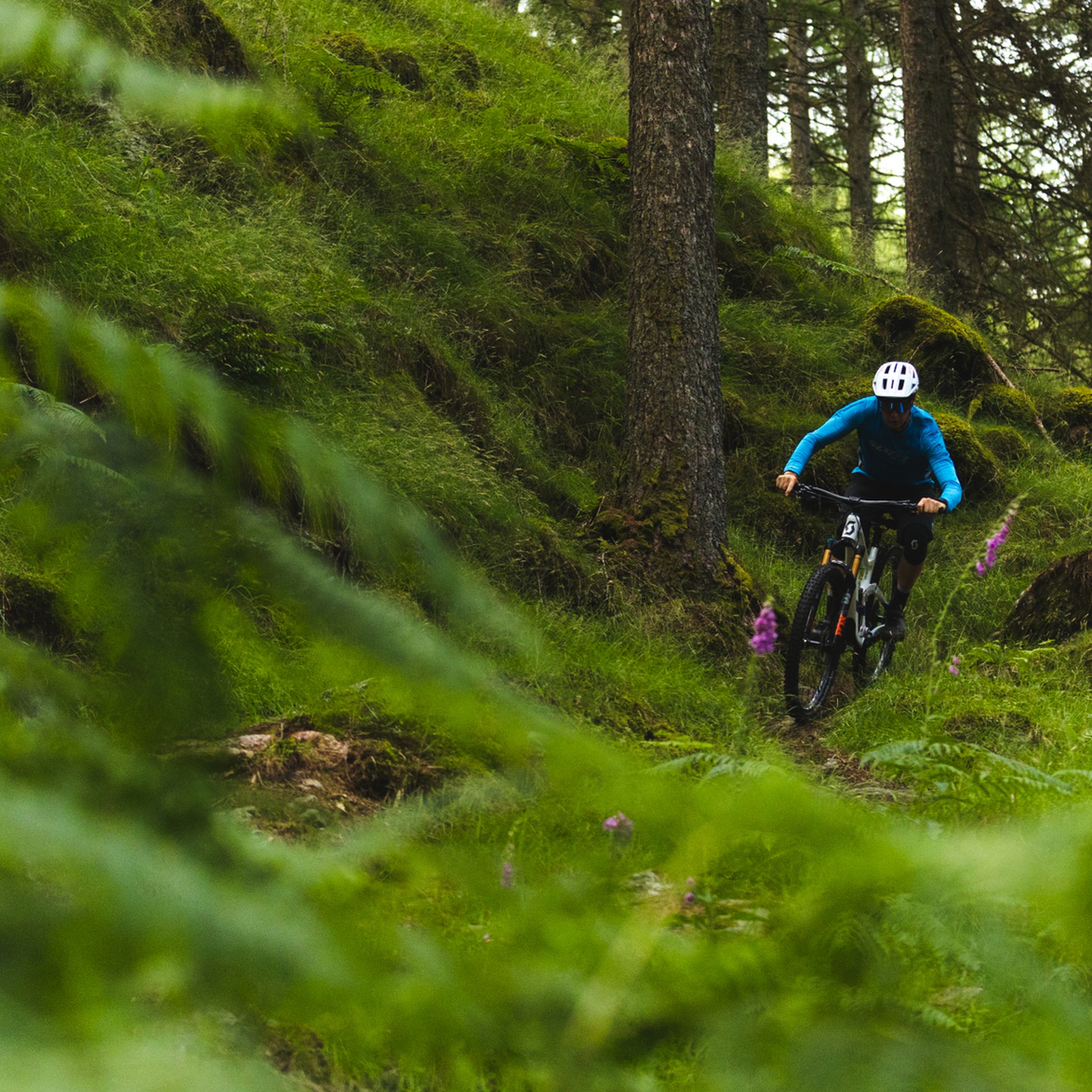
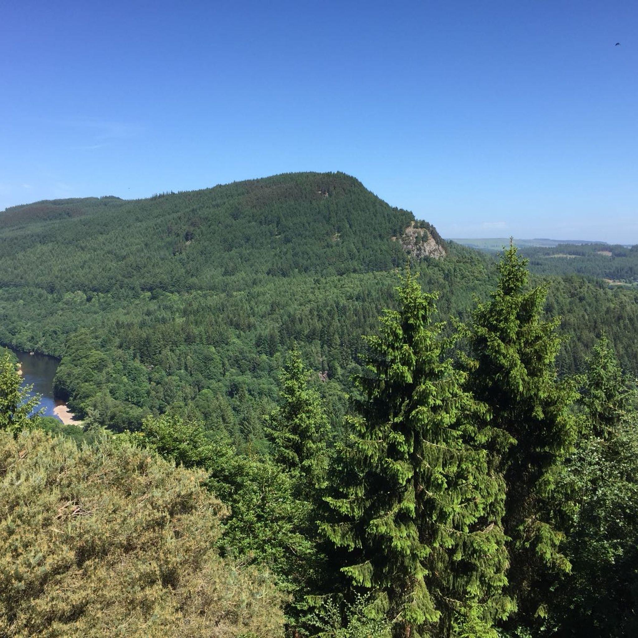
Road cycling around Craigvinean Forest offers routes through a landscape characterized by dense woodlands, the River Tay, and rolling hills typical of Perthshire. The region provides varied terrain for road cyclists, from riverside paths to more elevated sections. This area is known for its natural beauty and historical points of interest, making it suitable for diverse cycling experiences.
Best road cycling routes around Craigvinean Forest
- The most popular road cycling route is Logierait Viaduct – General Wade's Bridge loop from Dowally, a 33.0 miles (53.1 km) trail that takes 2 hours 40 minutes to complete. This moderate route features historic structures and views along the River Tay.
- Another top favourite among local road cyclists is Dunkeld Town Centre – Dunkeld Cathedral loop from Dowally, a moderate 32.7 miles (52.7 km) path. This route explores the historic town of Dunkeld and its cathedral, offering a mix of cultural and scenic elements.
- Local road cyclists also love the View of Dunalastair Water – Dunkeld Town Centre loop from Dunkeld and Birnam, a 71.8 miles (115.6 km) trail leading through varied terrain including views of Dunalastair Water, often completed in about 5 hours 15 minutes.
- Road cycling around Craigvinean Forest is defined by dense woodlands, river valleys, and rolling hills. The network offers options for easy, moderate, and difficult ability levels.
- The routes in Craigvinean Forest are highly rated by the komoot community with an average score of 4.6 stars from more than 10 reviews. More than 1000 road cyclists have used komoot to explore Craigvinean Forest's varied terrain.
Last updated: October 11, 2026
4.0
(2)
84
riders
53.0km
02:40
530m
530m
Moderate road ride. Good fitness required. Mostly well-paved surfaces and easy to ride.
53
riders
52.9km
02:24
510m
510m
Moderate road ride. Good fitness required. Some segments of this route may be unpaved and difficult to ride.

8
riders
34.1km
01:37
410m
410m
Moderate road ride. Good fitness required. Some segments of this route may be unpaved and difficult to ride.
89
riders
112km
05:30
1,020m
1,020m
Hard road ride. Very good fitness required. Mostly well-paved surfaces and easy to ride.
14
riders
71.3km
03:22
750m
750m
Moderate road ride. Good fitness required. Some segments of this route may be unpaved and difficult to ride.
Get access to more routes and recommendations from other explorers.
Already have an account?
Our route recommendations are based on thousands of hikes, rides, and runs completed by other people on komoot.
Start today with a free account
Your next adventure awaits.
Tips from the Community

Lively town with fine river walks and great coffee and food available Always something going on
0
0

Cathedral is nice but the huge old trees are spectacular
0
0

From the main road, you can't see much of the castle, although the white building is immediately noticeable as soon as you pass through the greenery. To truly see the castle, you really have to visit it.
3
0

A super cool small suspension bridge with great views down over the river and surrounding countryside. An idyllic location for a stop on the bike.
0
0

Great stop for coffee and cake
0
0

Great wee village/town packed full of good places to eat & drink and interesting independent shops.
0
0
Frequently Asked Questions
How many road cycling routes are available in Craigvinean Forest?
There are over 35 road cycling routes around Craigvinean Forest, offering a diverse range of experiences for all skill levels. This includes 4 easy routes, 19 moderate routes, and 13 difficult routes.
What kind of terrain can I expect when road cycling in Craigvinean Forest?
Road cycling in Craigvinean Forest features a varied landscape characterized by dense woodlands, the scenic River Tay, and the rolling hills typical of Perthshire. You'll find a mix of riverside paths and more elevated sections, providing diverse challenges and views.
Are there any easy road bike trails suitable for beginners or families?
Yes, Craigvinean Forest offers several easy road cycling routes. While specific routes are not detailed as 'family-friendly' in the data, the easier options generally have less elevation gain and shorter distances, making them more accessible. There are 4 easy routes available.
Where can I find parking for road cycling routes in Craigvinean Forest?
Parking availability varies by starting point. Many routes, especially those starting from towns like Dunkeld or Dowally, will have designated parking areas. It's advisable to check the specific route details on komoot for parking information near your chosen starting point.
What are some challenging long-distance road cycling routes in the area?
For a challenging long-distance ride, consider the View of Dunalastair Water – Dunkeld Town Centre loop from Dunkeld and Birnam. This difficult route spans 71.8 miles (115.6 km) and typically takes around 5 hours 15 minutes to complete, featuring significant elevation changes and expansive views.
What interesting sights or landmarks can I see along the road cycling routes?
The area around Craigvinean Forest is rich in natural beauty and historical points. Along your rides, you might encounter attractions such as the stunning Black Linn Falls at The Hermitage, or enjoy panoramic views from viewpoints like Torryvald Folly and Pine Cone Viewpoint. Don't miss the unique Ossian’s Hall of Mirrors.
Are there any circular road cycling routes in Craigvinean Forest?
Yes, many of the road cycling routes in Craigvinean Forest are designed as loops, allowing you to start and finish at the same point. Examples include the popular Logierait Viaduct – General Wade's Bridge loop from Dowally and the Dunkeld Town Centre – Dunkeld Cathedral loop from Dowally.
What is the best time of year to go road cycling in Craigvinean Forest?
The best time for road cycling in Craigvinean Forest is typically from spring through autumn (April to October) when the weather is milder and daylight hours are longer. During these months, the forest is vibrant, and conditions are generally more favorable for cycling. Winter cycling is possible but requires appropriate gear and caution due to potentially colder temperatures and icy conditions.
What do other road cyclists enjoy most about the routes in Craigvinean Forest?
The road cycling routes in Craigvinean Forest are highly rated by the komoot community, with an average score of 4.6 stars. Reviewers often praise the region's natural beauty, the mix of challenging and scenic routes, and the historical points of interest encountered along the way, such as those found on the Dunkeld Town Centre – Dunkeld Cathedral loop.
Are there any cafes or pubs near the road cycling routes for a break?
The region around Craigvinean Forest, particularly towns like Dunkeld and Birnam, offers various options for refreshments. Many routes pass through or near these villages, where you can find cafes, pubs, and other amenities to refuel during your ride.
Can I find routes that offer views of Dunalastair Water?
Yes, for routes that feature views of Dunalastair Water, consider the challenging View of Dunalastair Water – Dunkeld Town Centre loop from Dunkeld and Birnam. This route provides extensive views of the water as part of its varied terrain.
How long do road cycling routes in Craigvinean Forest typically take to complete?
Route durations vary significantly based on distance and difficulty. For example, a moderate route like the Logierait Viaduct – General Wade's Bridge loop from Dowally takes approximately 2 hours 40 minutes, while longer, more difficult routes can take over 5 hours, such as the Aberfeldy, Loch Tay & Perth loop from Dunkeld.
Most popular routes around Craigvinean Forest
Most popular attractions around Craigvinean Forest

Get inspired with the komoot mobile app


Explore more
Browse the best Road cycling routes in other regions.
